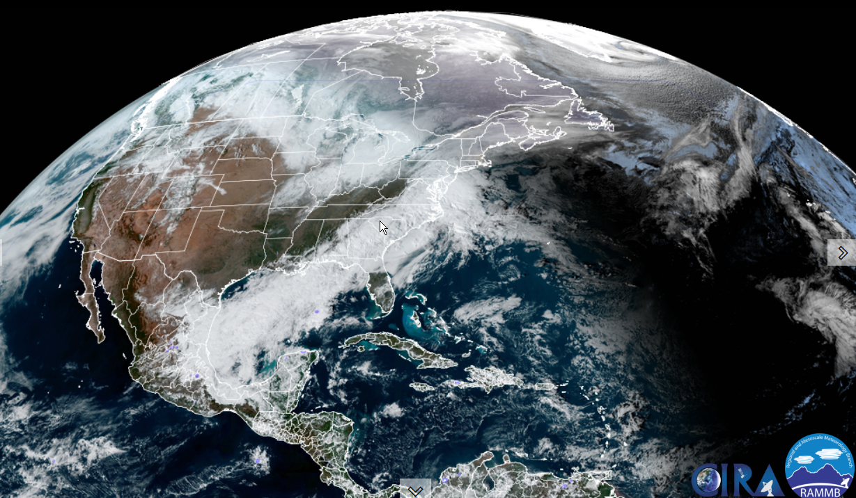
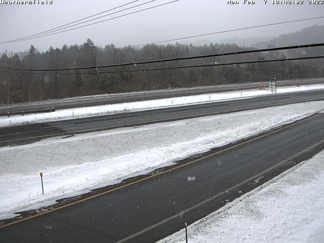
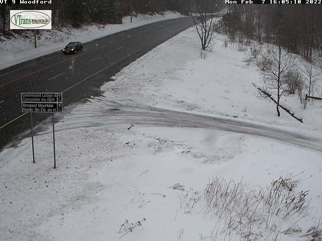
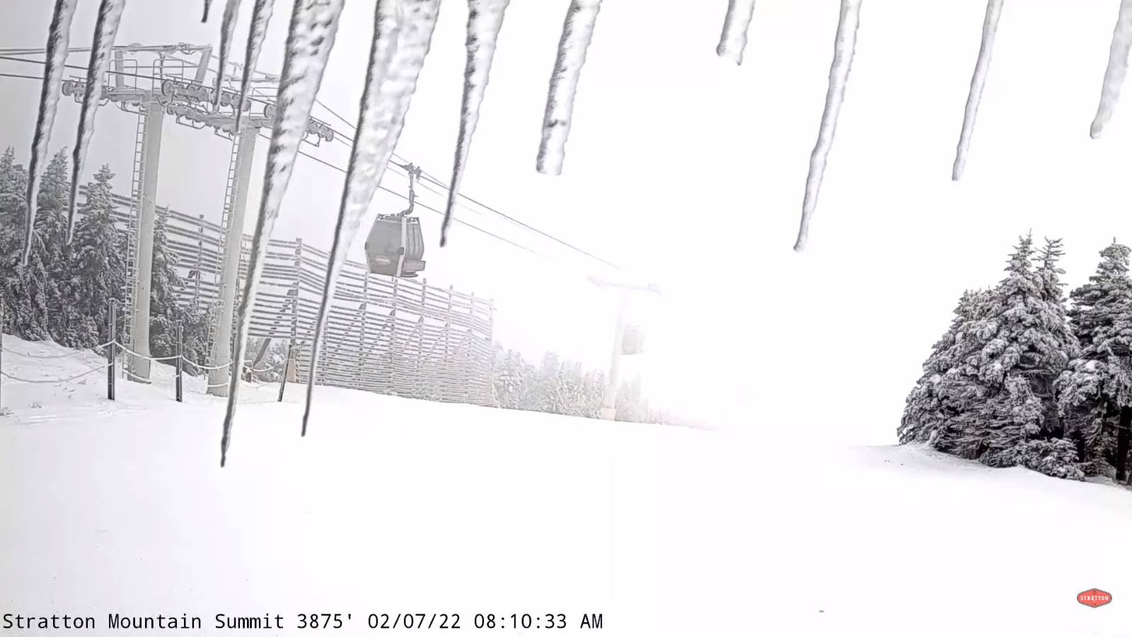
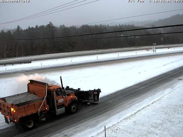
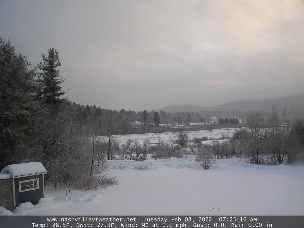
Updated Friday Morning Forecast — January 21st, 2022

Wind chill Advisory this morning expires 10 AM…

TODAY: Diamond Dust flurries local to Lake Champlain. Otherwise sunny but bitterly cold. A high ranging near zero Quebec border, to around 10 above. Light northwest winds.

TONIGHT: Mostly clear and partially moonlit. An early low 10 to 20 below. Little wind.

SATURDAY: Sunshine giving way to high cloudiness late in the afternoon. A high 10 to 15. Little wind.

Looking further ahead…

SATURDAY NIGHT: Lot of clouds. A low in the single digits.

Met winter peaks Sunday January 23rd

SUNDAY: Lots of clouds. Widely scattered snow showers or flurries developing late with a light coating in spots. A high 20 to 25.

MONDAY: Partly to mostly sunny. Frigid at night. A low zero to 10 below. A high 10 to 15.

TUESDAY: Cloudy. Chance for light accumulating snow showers. A low single digits. A high 25 to 30.

Average lows single digits. Average highs ranging low to mid 20s.

End of Met. Winter March 9th

RH/1-21 forecast][end]

Updated Thursday Evening Forecast — January 20th, 2022

Wind chill Advisory this evening thru Friday mid-morning…

TONIGHT: Mostly clear and partially moonlit. Frigid. A low ranging 5 to 15 below. Light northwest winds lowering wind chills.

TOMORROW: Diamond Dust flurries local to Lake Champlain. Otherwise sunny but bitterly cold. A high ranging near zero Quebec border, to around 10 above. Light northwest winds.

FRIDAY NIGHT: Mostly clear and partially moonlit. An early low 5 to 15 below. Little wind.

SATURDAY: Sunshine giving way to high cloudiness late. A high 10 to 15. Little wind.

Looking further ahead…

SATURDAY NIGHT: Thickening clouds. A low in the single digits.

Met winter peaks Sunday January 23rd

SUNDAY: Lots of clouds. Widely scattered flurries. A high 20 to 25.

MONDAY: Partly to mostly sunny. Frigid at night. A low 10 to 20 below. A high 10 to 15.

TUESDAY: Cloudy. Chance for light accumulating snow showers. A low single digits. A high mid-20s to low 30s.

Average lows single digits. Average highs ranging low to mid 20s.

End of Met. Winter March 9th

RH/1-20 forecast][end]

Updated Thursday morning Forecast — January 20th, 2022

TODAY: A stray flurry early. Otherwise becoming partly sunny. A high ranging upper single digits Quebec border to mid-teens elsewhere. Light northwest winds.

Wind chill Advisory this evening thru Friday mid-morning…

TONIGHT: Partly cloudy. Frigid. A low ranging 5 to 15 below. Northwest winds 10 mph lowering wind chills.

FRIDAY: Diamond Dust flurries local to Lake Champlain. Otherwise lots of sunshine. Below normal in temperature. A high ranging near zero Quebec border, to around 10 above. Light northwest winds.

Looking further ahead…

FRIDAY NIGHT: Mostly clear and partially moonlit. An early low 10 to 15 below

SATURDAY: Sunshine giving way to high cloudiness late. A high low to mid-teens.

Met winter peaks Sunday January 23rd

SUNDAY: Lots of clouds. Widely scattered flurries. A low 5 below to 5 above. A high 20 to 25.

MONDAY: Partly to mostly sunny. A low 5 to 15 below. A high 10 to 15.

TUESDAY: Cloudy. Chance for light accumulating snow showers. A low single digits. A high mid-teens to low 20s.

Average lows single digits thru low-teens. Average highs ranging thru the 20s.

End of Met. Winter March 9th

RH/1-20 forecast][end]

Updated Wednesday Evening Forecast — January 19th, 2022

TONIGHT: Considerable cloudiness. Flurries especially northern higher terrain overnight. A low around 15. Southwest winds 10 mph stronger toward the Champlain Valley shifting to northwesterly overnight.

TOMORROW: A few flurries in the morning with little accumulation. Becoming partly to mostly sunny. Blustery and colder again. A high around 15, but colder northern areas. Light northwest winds.

THURSDAY NIGHT: Partly cloudy. Frigid. A low ranging 5 to 15 below. Light northwest winds.

FRIDAY: Diamond Dust flurries near Lake Champlain. Otherwise more sun than clouds. Below normal in temperature. A high near 5 above. Light northwest winds.

Looking further ahead…

FRIDAY NIGHT: Mostly clear and partially moonlit. An early low 5 to 15 below

SATURDAY: Sunshine giving way to high cloudiness. A high near 15.

Met winter peaks Sunday January 23rd

SUNDAY: Lots of clouds. Scattered flurries near the Quebec border more isolated further south in the afternoon. A low zero to 10 below. A high 20 to 25.

MONDAY: Partly sunny. A low in the single digits. A high around 15.

Average lows single digits thru low-teens. Average highs ranging thru the 20s.

End of Met. Winter March 9th

RH/1-19 forecast][end]

Updated Wednesday morning Forecast — January 19th, 2022

TODAY: Mainly cloudy with a few breaks of afternoon sun. Scattered snow showers mainly northern areas, a dusting to an inch exiting late this afternoon.A late afternoon high about 35. South winds 10 to 15 mph.

TONIGHT: Considerable cloudiness. Scattered flurries with a light coating northern and western areas. A low ranging thru the teens. Southwest winds 10 mph.

THURSDAY: A few flurries in the morning with little accumulation. Becoming partly to mostly sunny. Blustery and colder again. Temperatures in the teens gradually drop into the singled digits northern areas. Light northwest winds.

Looking further ahead…

THURSDAY NIGHT: Partly cloudy. Frigid. A low ranging 5 to 15 below.

FRIDAY: Diamond Dust flurries Champlain Valley early. Variable clouds, eventually periods of afternoon sun. Below normal in temperature. A high near 5 above.

SATURDAY: High cloudiness otherwise mostly sunny. An early low 5 to 15 below. A high near 15.

Met winter peaks Sunday January 23rd

SUNDAY: Lots of clouds. Scattered flurries northern/western areas. A low zero to 10 below. A high 20 to 25.

MONDAY: Morning clouds, then increasing sunshine. A low in the single digits. A high around 15.

Average lows single digits thru low-teens. Average highs ranging thru the 20s.

End of Met. Winter March 9th

RH/1-18 forecast][end]

Updated Tuesday Evening Forecast — January 18th, 2022

Wind Chill Advisory 4 PM thru 7 AM Wednesday morning Lamoille-Caledonia County north.

TONIGHT: Clear & moonlit skies for a time this evening before increasing clouds. Slight chance for flurries toward the Champlain Valley. A low 5 to 10 below. Northwest winds 10 mph this evening falling off overnight.

TOMORROW: Gray. Snow showers northern areas, a dusting to an inch or two.A late high about 35 degrees. South winds 10 to 15 mph.

WEDNESDAY NIGHT: Partly to mostly cloudy. Scattered flurries with a light coating northern and western areas. A low 10 to 15. Southwest winds 10 mph.

THURSDAY: A stray morning flurry or two. Becoming partly to mostly sunny. Blustery and colder again. A high upper single digits Quebec border…to the mid-teens. Light northwest winds.

Looking further ahead…

THURSDAY NIGHT: Partly cloudy. A low ranging 10 to 15 below.

FRIDAY: A few clouds Diamond Dust Champlain Valley in the morning. Otherwise bright sunshine. A high ranging thru single digits above zero.

SATURDAY: High cloudiness otherwise mostly sunny. An early low 5 to 15 below. A high near 15.

Met winter peaks Sunday January 23rd

SUNDAY: Lots of clouds. Maybe a flurry far northern/western areas. A low zero to 10 below. A high around 20

Average lows single digits thru low-teens. Average highs ranging thru the 20s.

End of Met. Winter March 9th

RH/1-18 forecast][end]

Updated Tuesday Morning Forecast — January 18th, 2022

TODAY: Leftover mountain flurries dry up this morning. Increasing sunshine away from the mountains. Blustery and gradually colder. An early high temperature in the mid-teens then falling into the single digits. Northwesterly winds 10 to 20 mph with lowered wind chills.

Wind Chill Advisory 4 PM thru 7 AM Wednesday morning Lamoille-Caledonia County north.

TONIGHT: Clear & partially moonlit skies then, increasing clouds overnight. Slight chance for a flurry toward the Champlain Valley. A low near 10 below. Northwest winds 10 mph this evening falling off overnight.

WEDNESDAY: Gray. Snow showers northern areas, a dusting to an inch or two.A late high near 35 degrees. South breeze 10 to 15 mph.

Looking further ahead…

WEDNESDAY NIGHT: Partly to mostly cloudy. Scattered flurries with a light coating. A low in the teens.

THURSDAY: A stray morning flurry or two. Becoming partly to mostly sunny. Blustery and colder again. A high upper single digits Quebec border…to the mid-teens

FRIDAY: A few clouds Diamond Dust Champlain Valley. Mostly sunny giving way high cloudiness. A low ranging 10 to 20 below. A high zero to 5 above.

SATURDAY: Thickening clouds. Chance for light snow far southern areas in the afternoon. An early low 5 to 15 below. A high near 15.

Met winter peaks Sunday January 23rd

SUNDAY: Lots of clouds. Maybe a flurry far northern/western areas. A low zero to 10 below. A high 20 to 25.

Average lows single digits thru low-teens. Average highs ranging thru the 20s.

End of Met. Winter March 9th

RH/1-18 forecast][end]

Updated Monday Evening Forecast — January 17th, 2022

Full Wolf Moon 6:48 PM

TONIGHT: Lots of clouds.Periods of light snow or flurries. Accumulation of around an inch near the mountains.A low 10 to 15. West to northwest winds 10 to 25 mph with some minor blowing and drifting.

TOMORROW: A few leftover flurries drying up then increasing especially afternoon sun. Blustery and colder. Temperatures holding in the 10 to 15 degrees range. Northwesterly winds 10 to 20 mph.

TUESDAY NIGHT: Clear & partially moonlit skies then, increasing clouds overnight. A low 10 to 15 below. Little wind.

WEDNESDAY: Gray. Snow showers northern areas, with dusting to locally 2”.A late high near 32 to 35 degrees. South breeze 10 to 15 mph.

Looking further ahead…

WEDNESDAY NIGHT: Partly to mostly cloudy. Scattered flurries. A low mid-teens to low 20s.

THURSDAY: A stray morning flurry or two. Becoming partly to mostly sunny. Blustery and colder again. Temperatures falling to around 5 to 10 above with lowering wind chills.

FRIDAY: Mostly sunny giving way high cloudiness. A low 10 to 25 below. A high zero to 5 above.

SATURDAY: High cloudiness thickening up later in the afternoon. An early low 10 to 15 below. A high near 15.

Average lows single digits thru low-teens. Average highs ranging thru the 20s.

Met winter peaks January 23rd, End of Met. Winter March 9th

RH/1-17 forecast][end]

Updated Monday Morning Forecast — January 17th, 2022

Winter Weather Advisory western and northern Vermont, Winter Storm Warnings central/southern Greens. High wind Advisory western slopes and higher terrain especially S. and C. Vermont.

TODAY Martin Luther King Jr. Day: Overcast. Accumulating snow…moderate to briefly heavy at times central and southern Green Mountains…becoming lighter and mixing with a little sleet and rain especially valley floors for a time this afternoon. Accumulations range 2 to 6” Northeast Kingdom Barre-Montpelier and valleys to locally a foot southern Green Mountain summits. Blustery…with near blizzard-like conditions higher elevations this morning. An afternoon high near 35. East to southeast wind 10 to 20 mph with stronger gusts over 40 mph higher terrain especially western slopes of southern and central Green Mountains.

Full Wolf Moon 6:48 PM

TONIGHT: Mostly cloudy.Periods of light snow or snow showers with additional 1 to 2” winding down toward day break.A low 10 to 15. West to northwest winds 10 to 25 mph with few higher gusts with some blowing and drifting.

TUESDAY: A few leftover flurries drying up then increasing especially afternoon sun. Blustery and colder. An early high 10 to 15 then temperatures gradually colder. Little wind.

Looking further ahead…

TUESDAY NIGHT: Clear & partially moonlit skies. A low 10 to 15 below.

WEDNESDAY: Gray. A good chance for snow showers or flurries northern areas with minor accumulation.A late high near 32 degrees.

THURSDAY: Scattered morning snow showers or flurries minor accumulation. Partial afternoon sunshine. Blustery and sharply colder again. Temperatures falling into the single digits above zero.

FRIDAY: Mostly sunny with high cloudiness. A low 10 to 20 below. A high 5 above.

Average lows single digits thru low-teens. Average highs ranging thru the 20s.

Met winter peaks January 23rd, End of Met. Winter March 9th

RH/1-17 forecast][end]

Updated Friday Evening Forecast — January 15th, 2022

Wind Chill Warning 7 PM this evening thru 4 PM Saturday

TONIGHT: Variable cloudiness, blustery and frigid. A low 10 to 20 below. North to northwest winds 10 to 15 mph, stronger near Lake Champlain with dangerous wind chills into the minus 30s in exposed areas.

TOMORROW: Morning clouds…give way to arctic-like sunshine, hazy. Bitterly cold. A high zero to ten below. Northwest 10 to 15 mph with dangerous wind chills.

SATURDAY NIGHT: Clear and frigid. A low 10 to 20 below. Little wind.

SUNDAY: Bright sunshine and blue skies after a frigid start. A high around 15. Light south winds.

Looking further ahead…

SUNDAY NIGHT: Thickening clouds. A good chance for accumulating snow after 3 AM. An evening low in the single digits, then temperatures gradually rising.

Full Wolf Moon 6:48 PM…Monday

MONDAY Martin Luther King Jr. Day: Overcast. Chance for accumulating snow…moderate to briefly heavy at times, around 5 to 9” with more possible toward the southern Greens near a foot. Becoming blustery from the east northeast. A high in the low to mid 30s.

TUESDAY: A few leftover flurries drying up then mostly sunny. Blustery. A low in the single digits above. A high 10 to 15.

WEDNESDAY: Clouding up. Chance for light accumulating snow or snow showers. A low minus 10 to 15. A high 25 to 30.

Average lows single digits thru low-teens. Average highs mid-20s to near 30

Met winter peaks January 23rd, End of Met. Winter March 9th

RH/1-15 forecast][end]