Winter Weather Advisory expires early this afternoon…
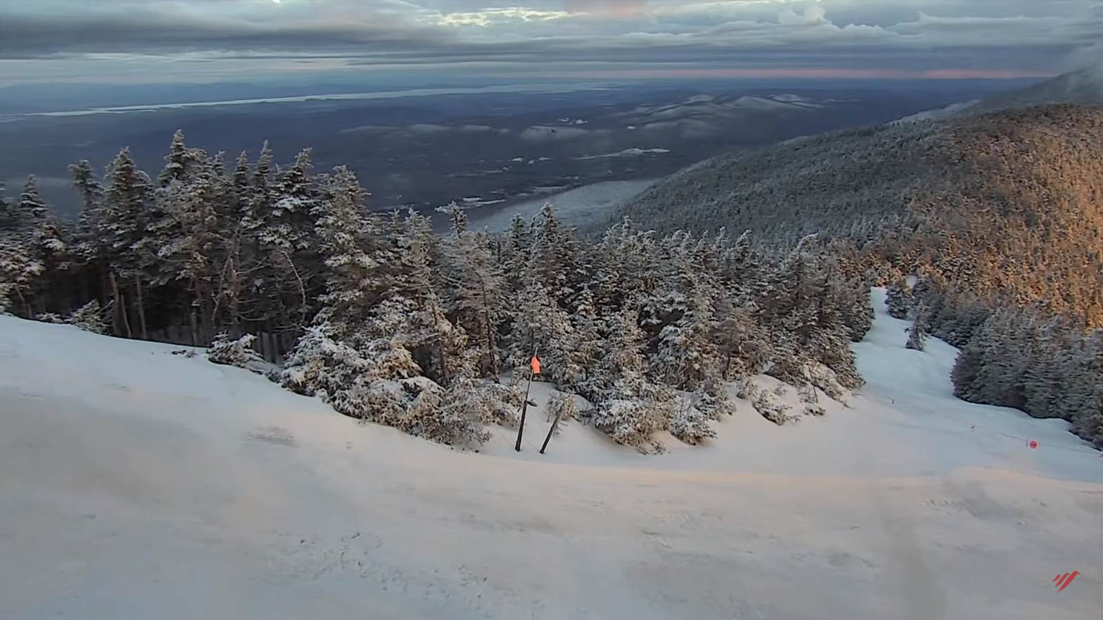
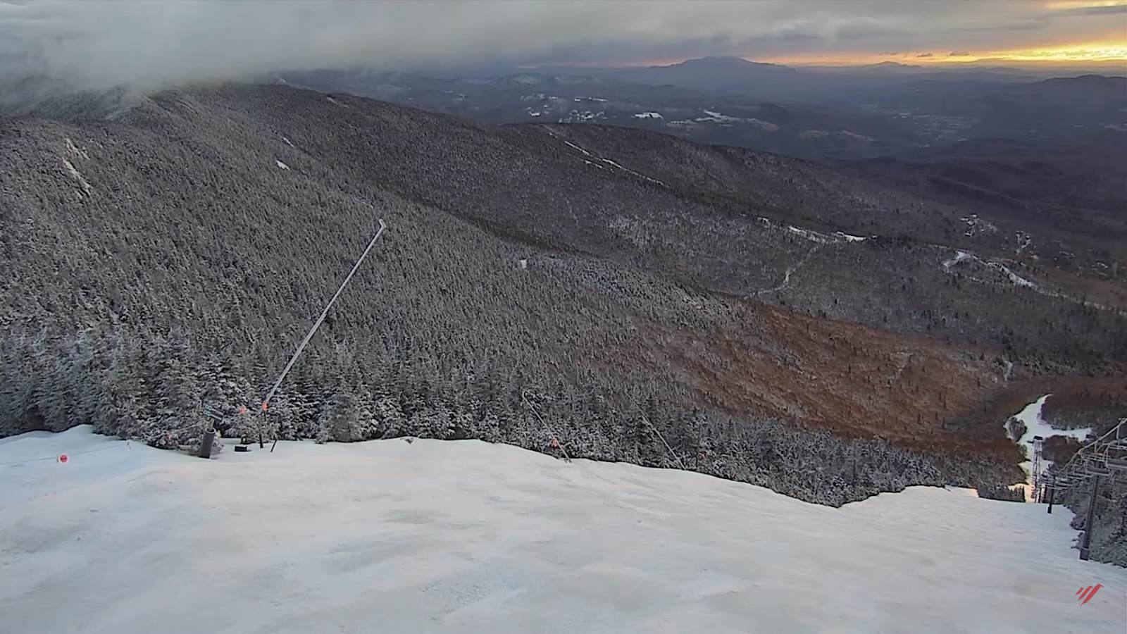
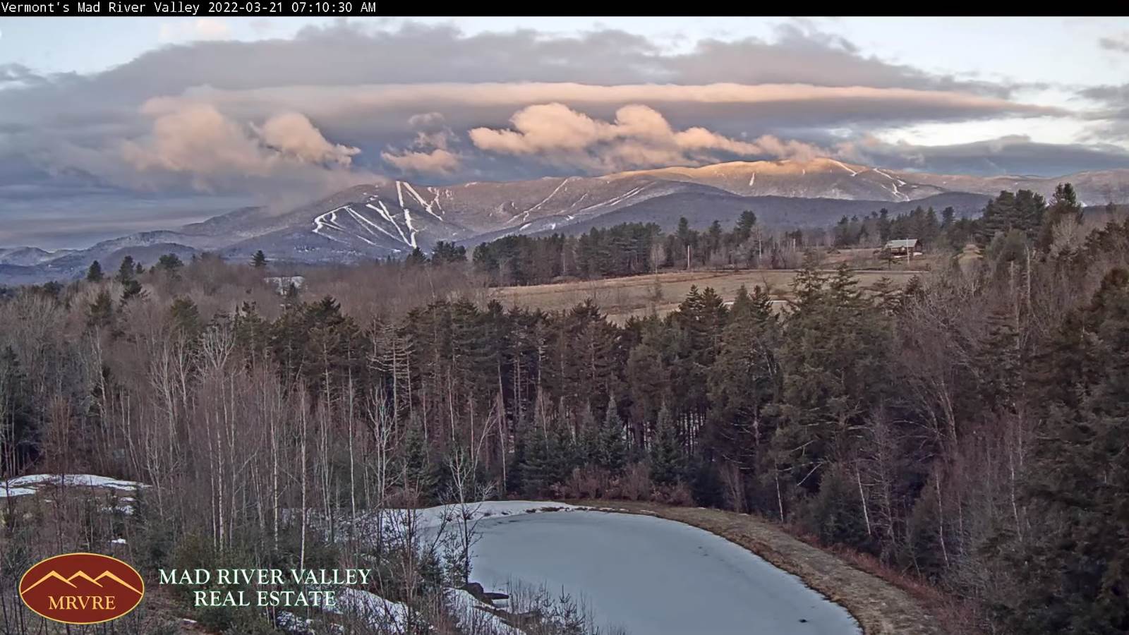
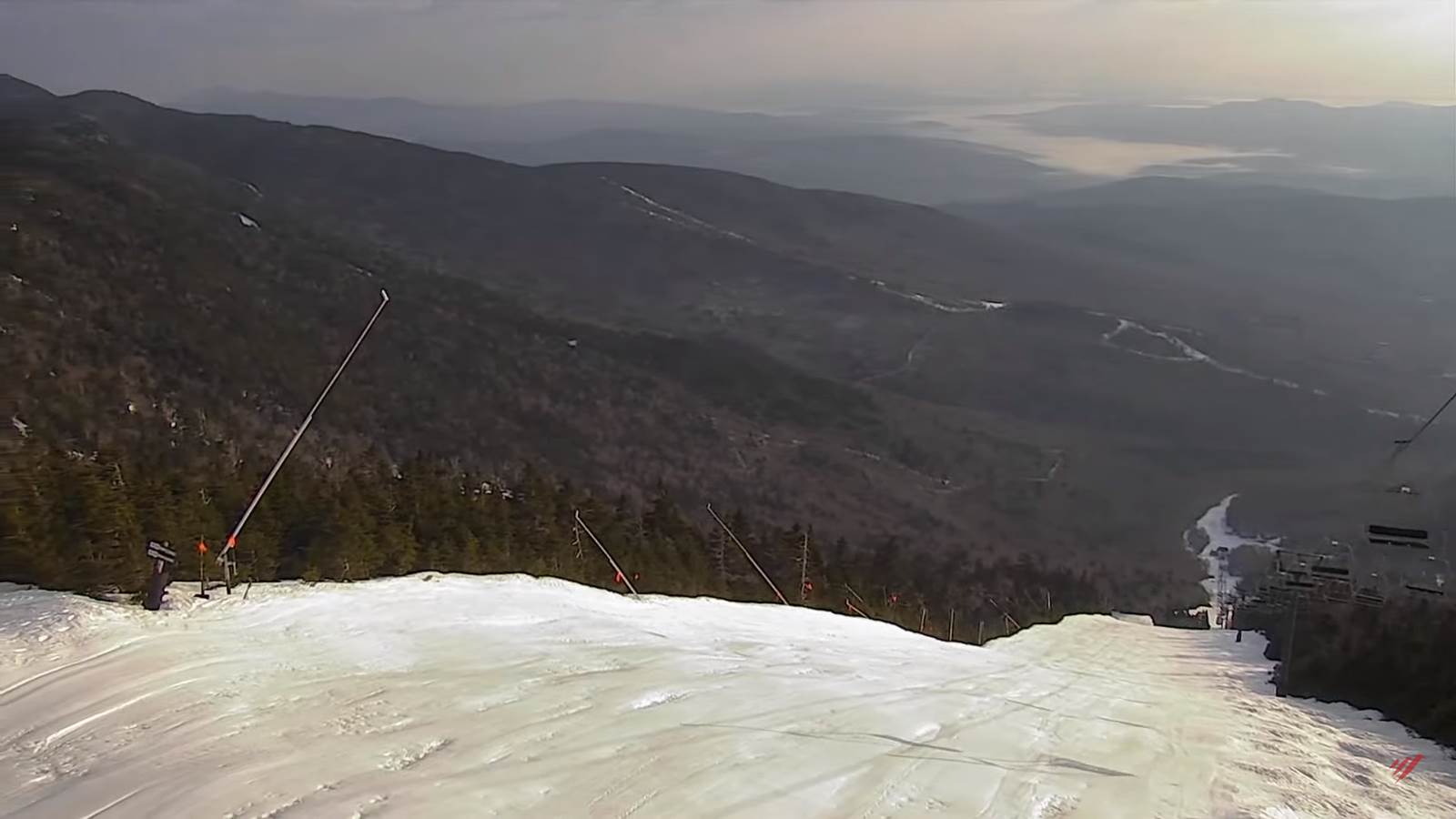
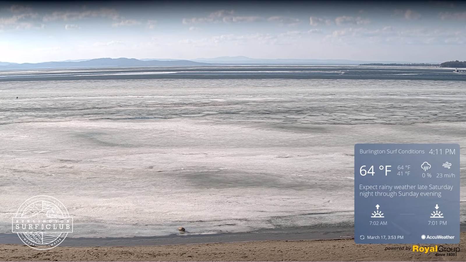
TODAY: Intermittent light rain with spotty freezing rain and light glazing east of the Greens in the morning…transitioning to scattered rain showers & a few wet snow flakes mountains later this morning. A late day high near 40. Blustery. Southeast winds 10 to 15 mph stronger western slopes of the Greens early.
TONIGHT: Occasional rain showers…moderate at times… mixed with pockets of freezing rain far eastern Vermont. A low 32 to 35. Light northeast winds.
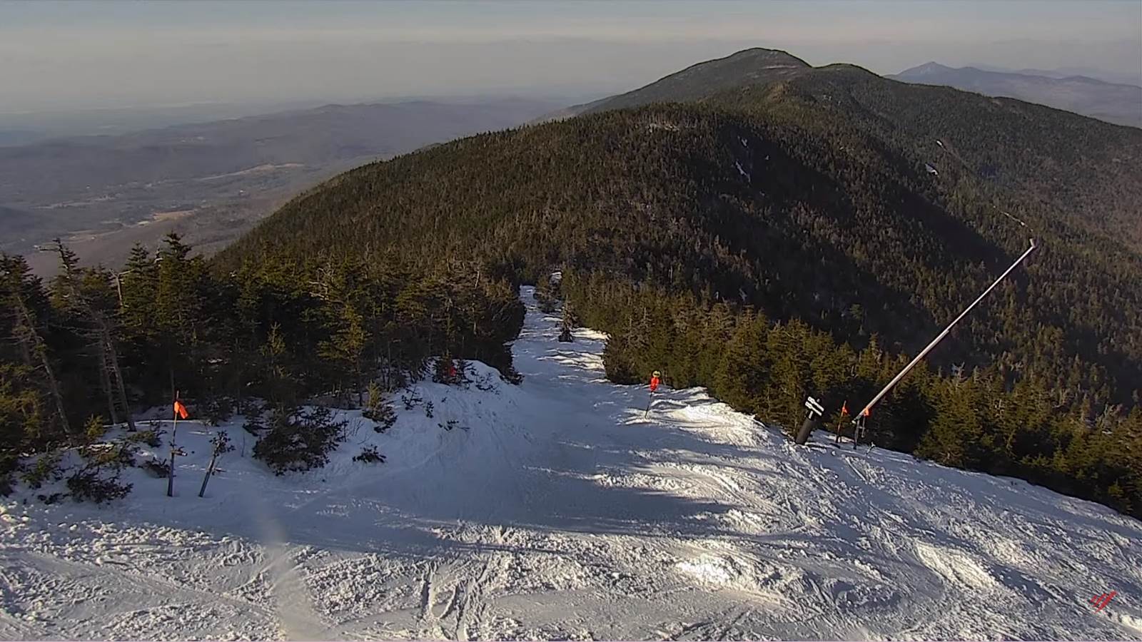
FRIDAY: Mostly cloudy. Rain showers mixed with wet snow high terrain early, then scattered rain showers in the afternoon. A little milder, with a high mid-40s to low 50s. West breeze 10 mph.
Looking further ahead…
FRIDAY NIGHT: Mostly cloudy. Scattered rain & wet snow showers little if any accumulation. A low around 35.
SATURDAY: Partly to mostly cloudy. Widely scattered rain and snow showers. A high in the mid-40s.
SUNDAY: Mostly cloudy and continued unsettled and colder. Scattered wet snow showers minor accumulation. A low around 32. An early high upper 30s to 40, then colder in the afternoon.
MONDAY: Mostly cloudy & a brief return to winter. Chance for snow showers or snow squalls with a dusting to 2 inches. A low in the mid to upper teens. A high 25 to 30.
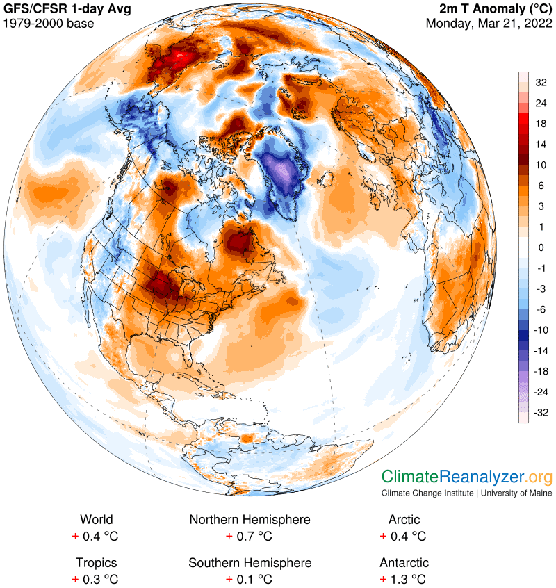
Average lows ranging upper-teens thru mid-20s. Average highs low to mid 40s
RH/3-23 forecast][end]