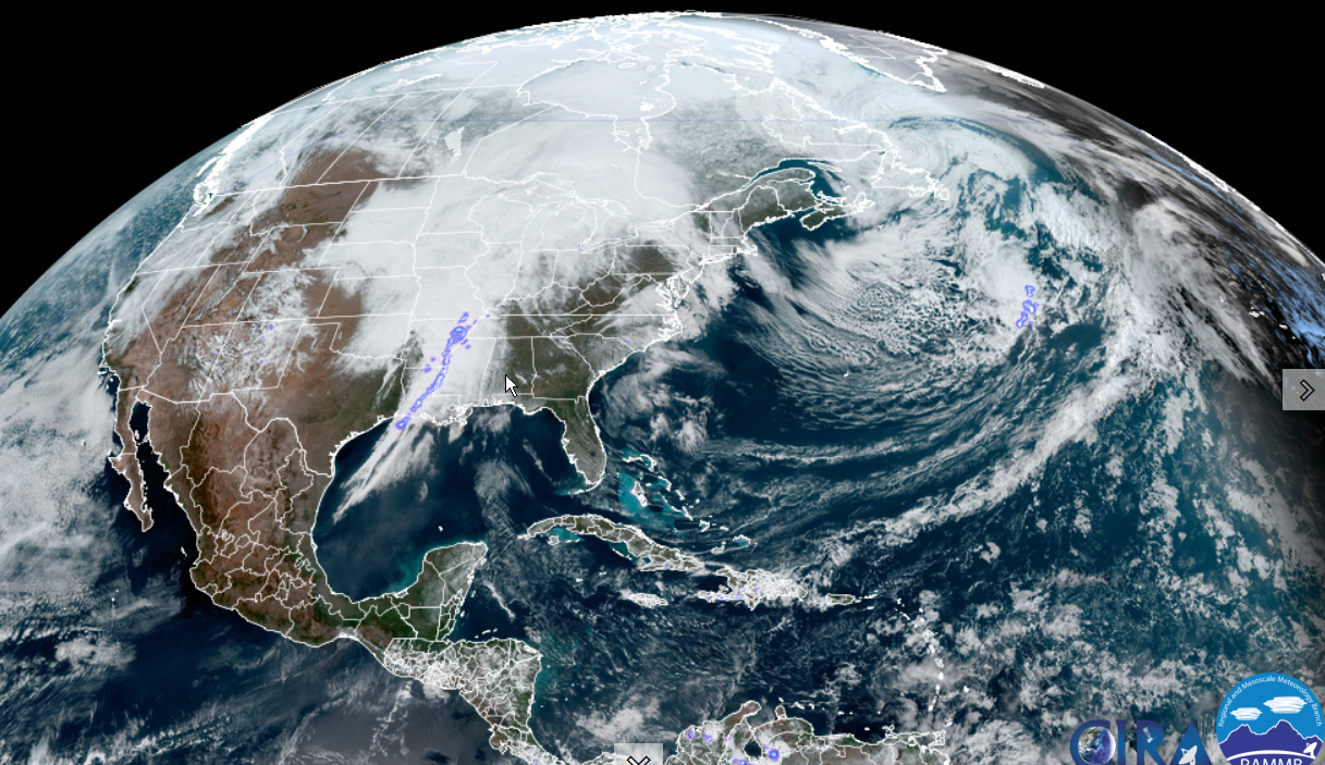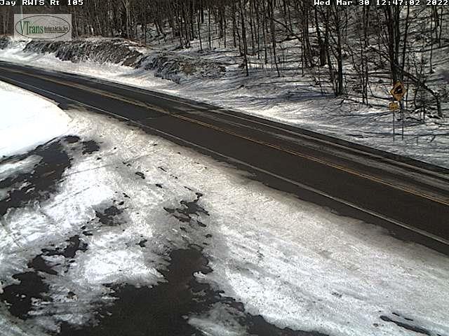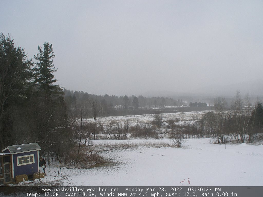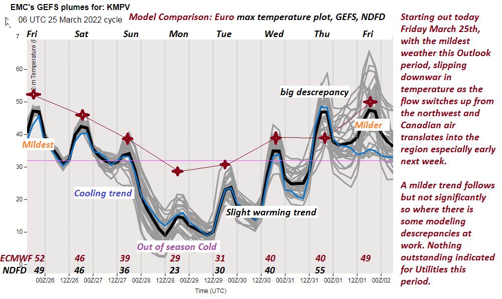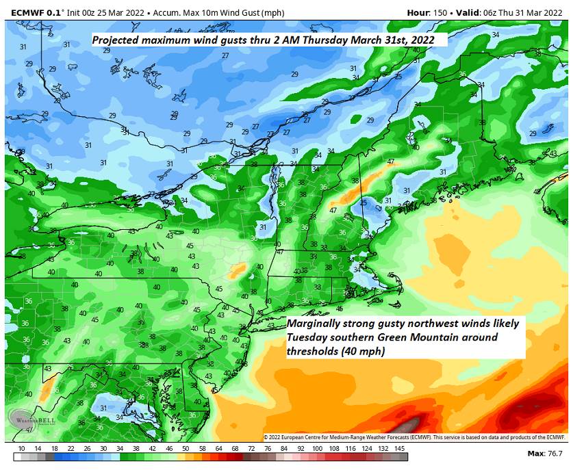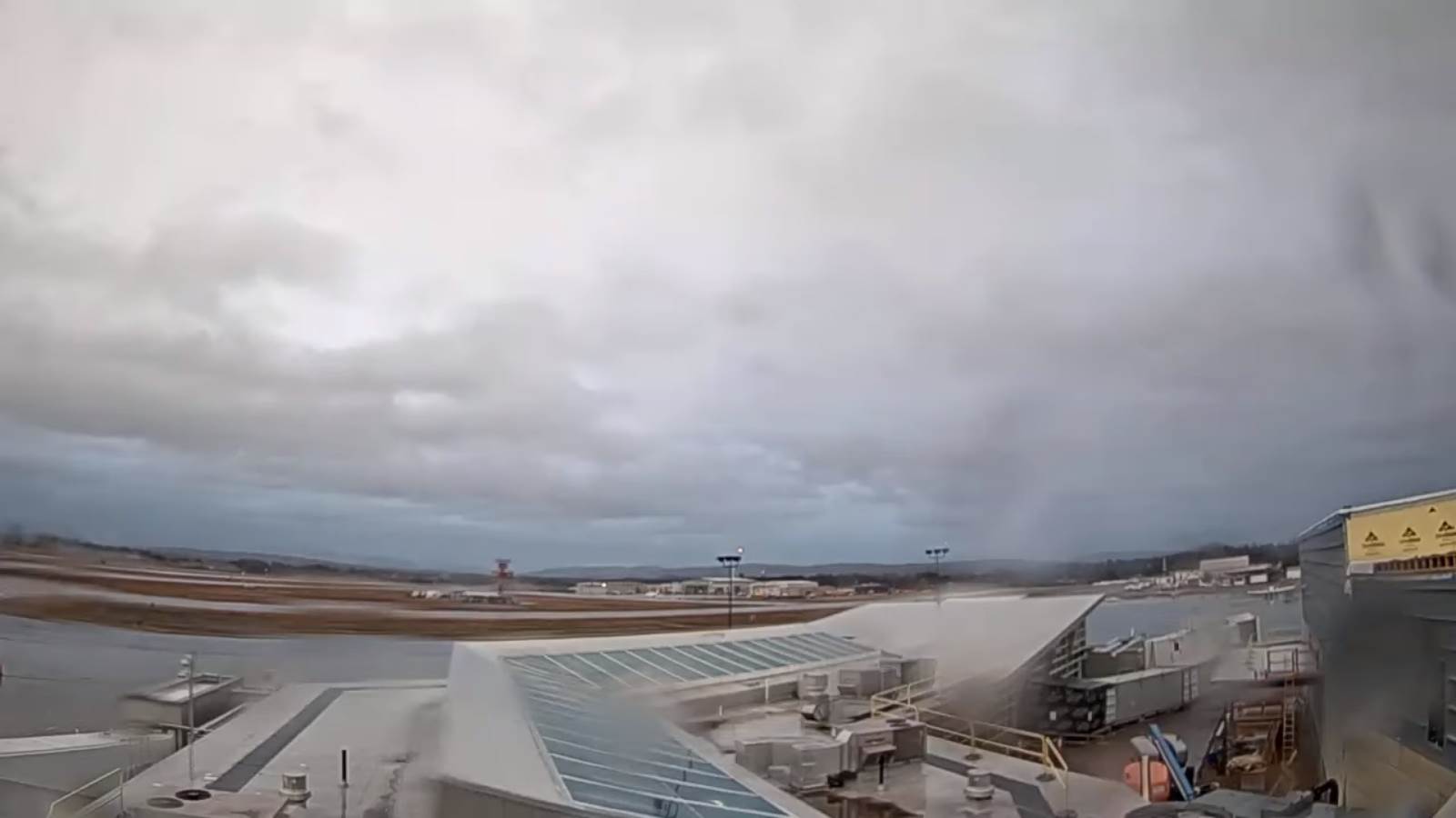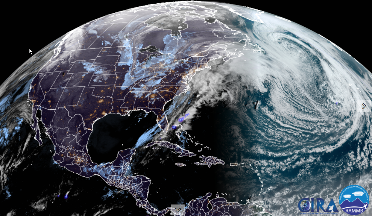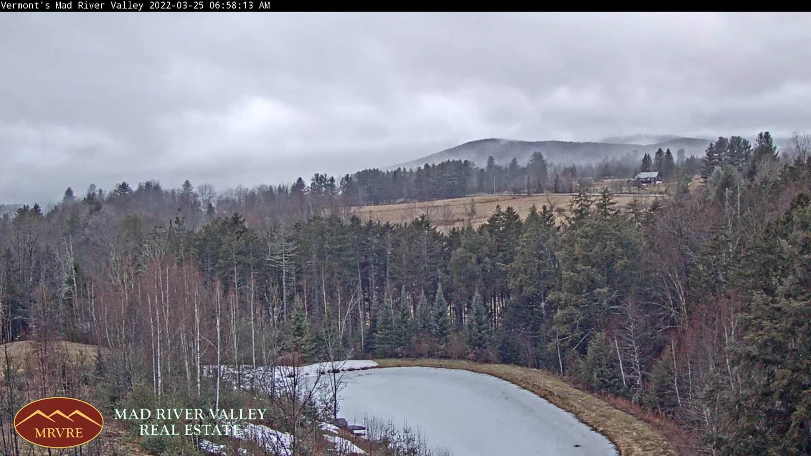
TODAY: Watch for icy spots this morning, Cloudy, milder and damp. Light rain showers developing mid-day on. A high 55 to 60. South to southeast breeze 10 to 20 mph, stronger Champlain Valley and gusty.
TONIGHT: Cloudy. Occasional rain showers, moderate at times this evening with isolated rumble of thunder possible southern Vermont. A low 35 to 40. Light west winds.

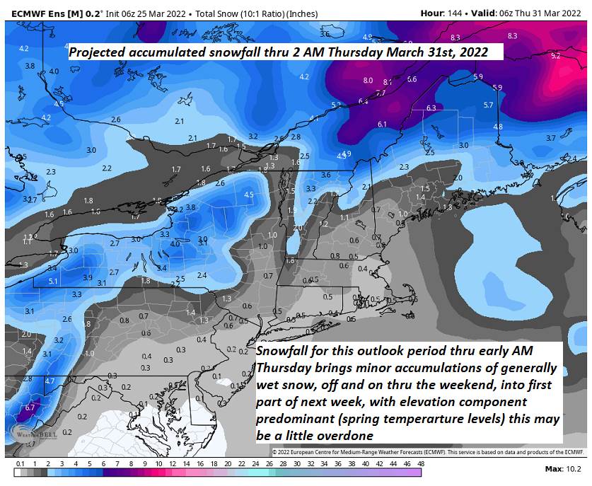
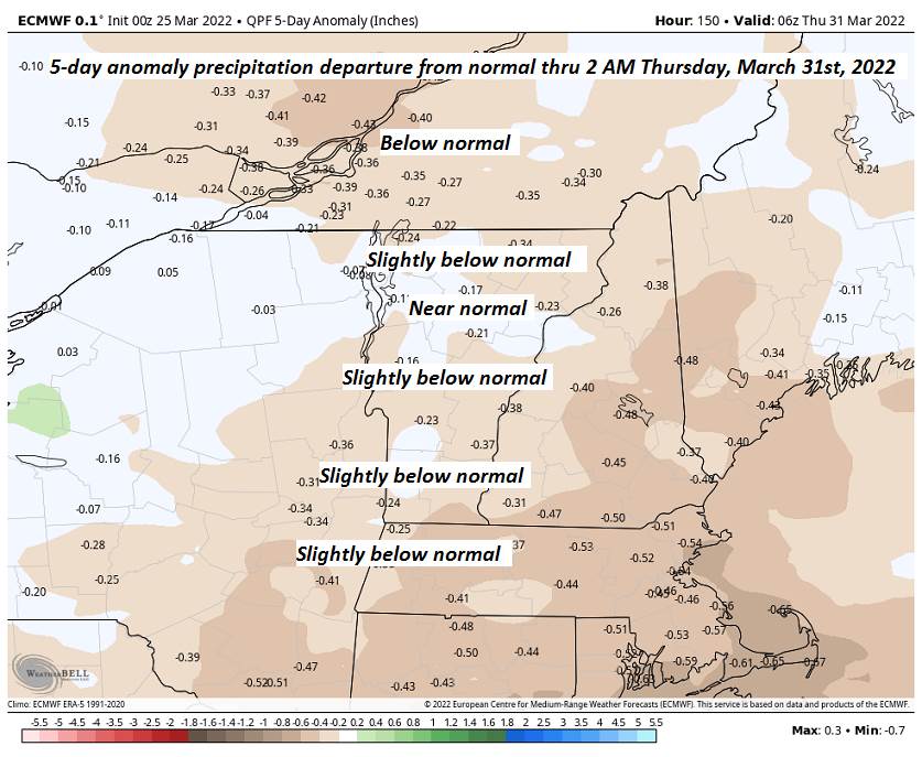
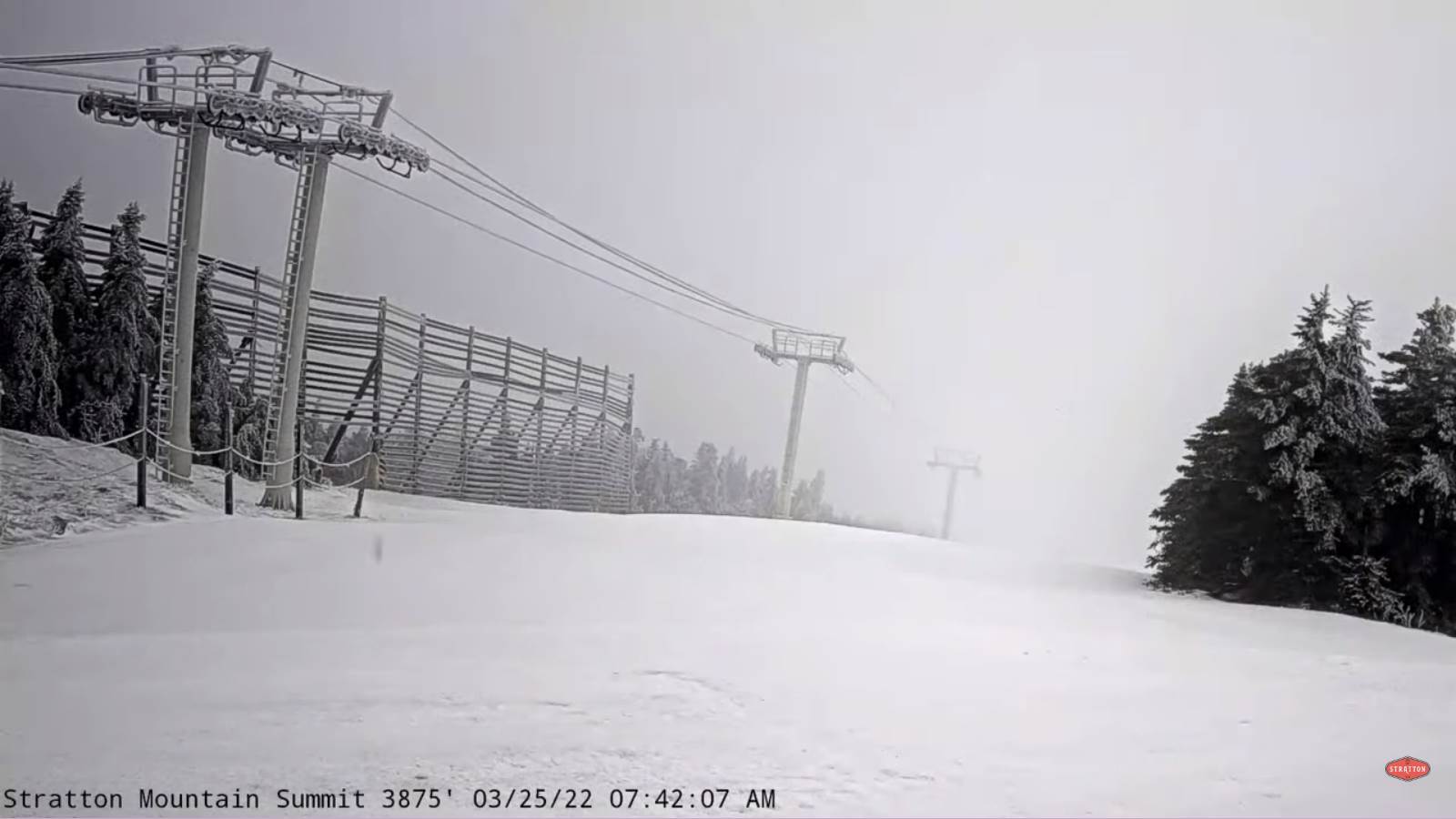
FRIDAY: Cloudy and turning blustery. Rain showers…mixing…or changing to accumulating snow showers. A light coating late across elevated terrain. An early high near 45. Temperatures cool off for the afternoon falling thru the 30s. Westerly breeze 10 to 25 mph with higher gusts elevated terrain.
Looking further ahead…
FRIDAY NIGHT: Mostly cloudy. Accumulating mountain snow showers and lighter flurries in the valleys. A dusting to 2 inches mainly high terrain. Blustery northwest winds. A low in the mid-20s.
SATURDAY: Mixed clouds and sun after a stray morning flurry. Blustery northwest winds. A high in the low 40s.
SUNDAY: More clouds than sun. Scattered rain showers mixed with wet snow flakes central and southern areas. A low upper 20s. A high mid to upper 40s.
MONDAY: Variable clouds. A low around 30. A high around 45.

TUESDAY: Partly to mostly cloudy & a touch milder. Slight chance for sprinkle southern areas. A low upper 20s to around 30. A high upper 40s pushing to near 50.
Average lows ranging thru the 20s. Average highs 45 to near 50
RH/3-31 forecast][end]