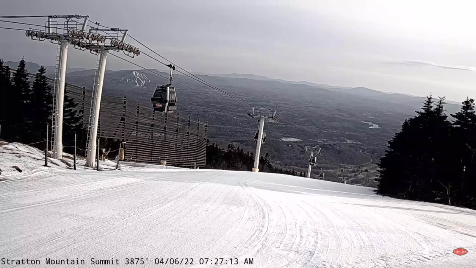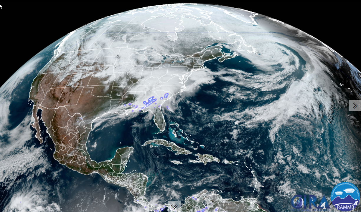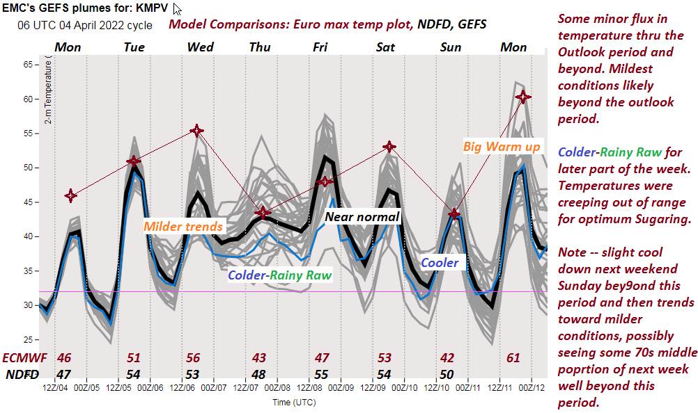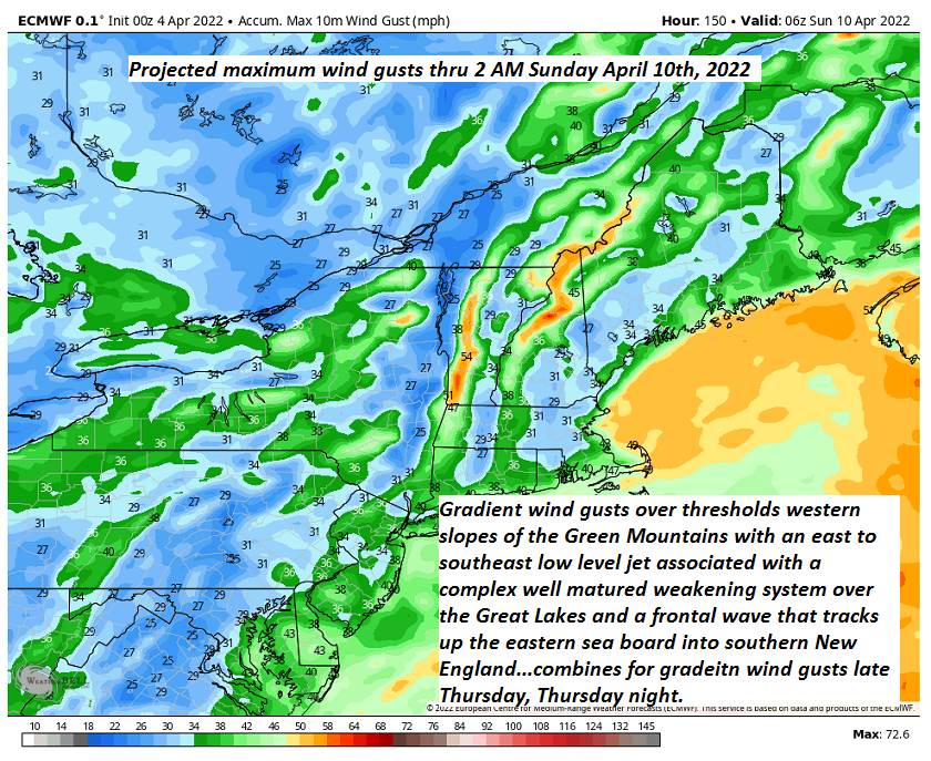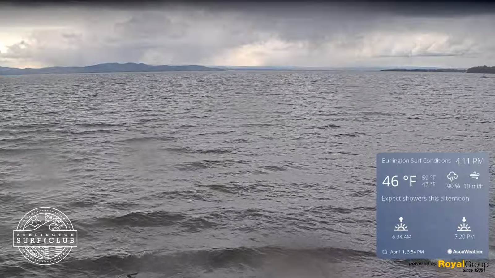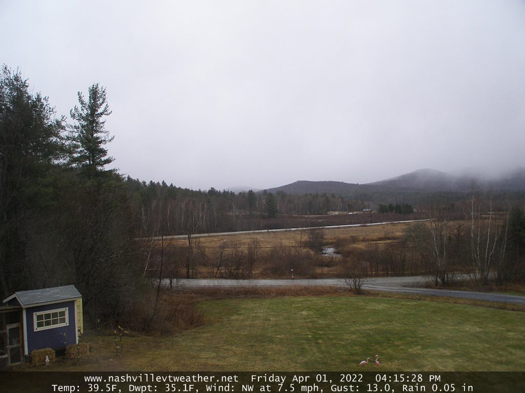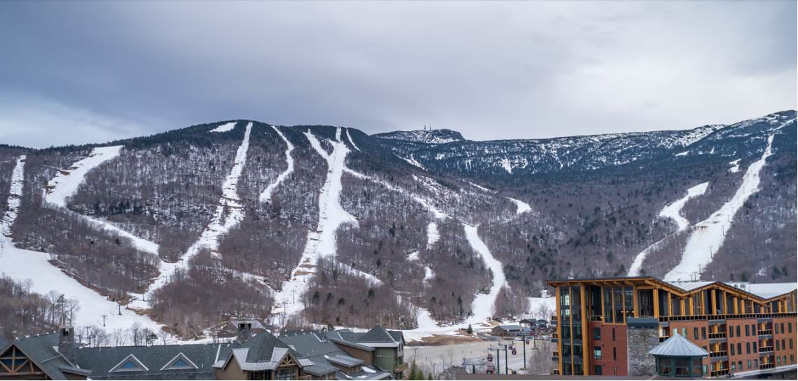
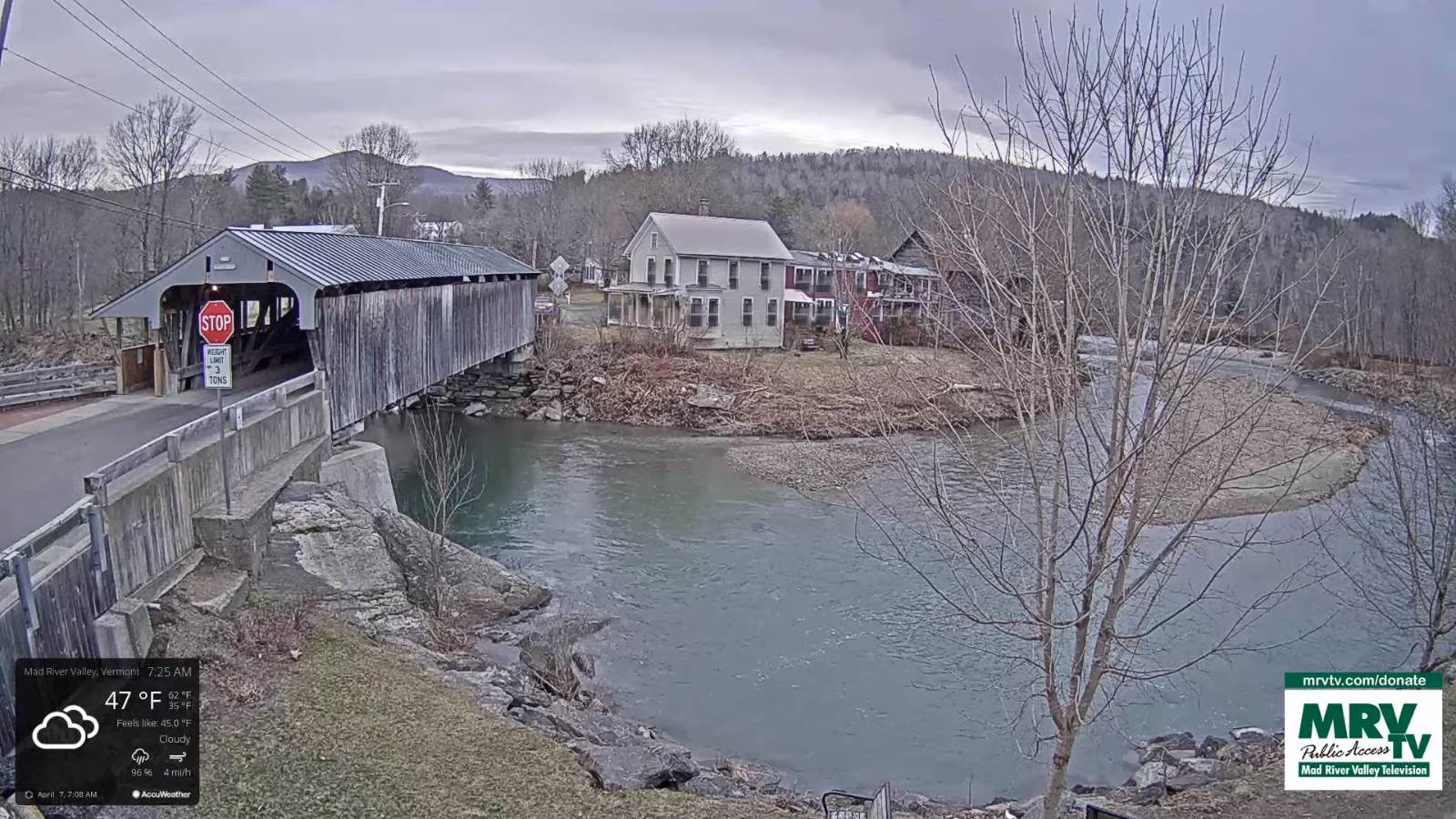
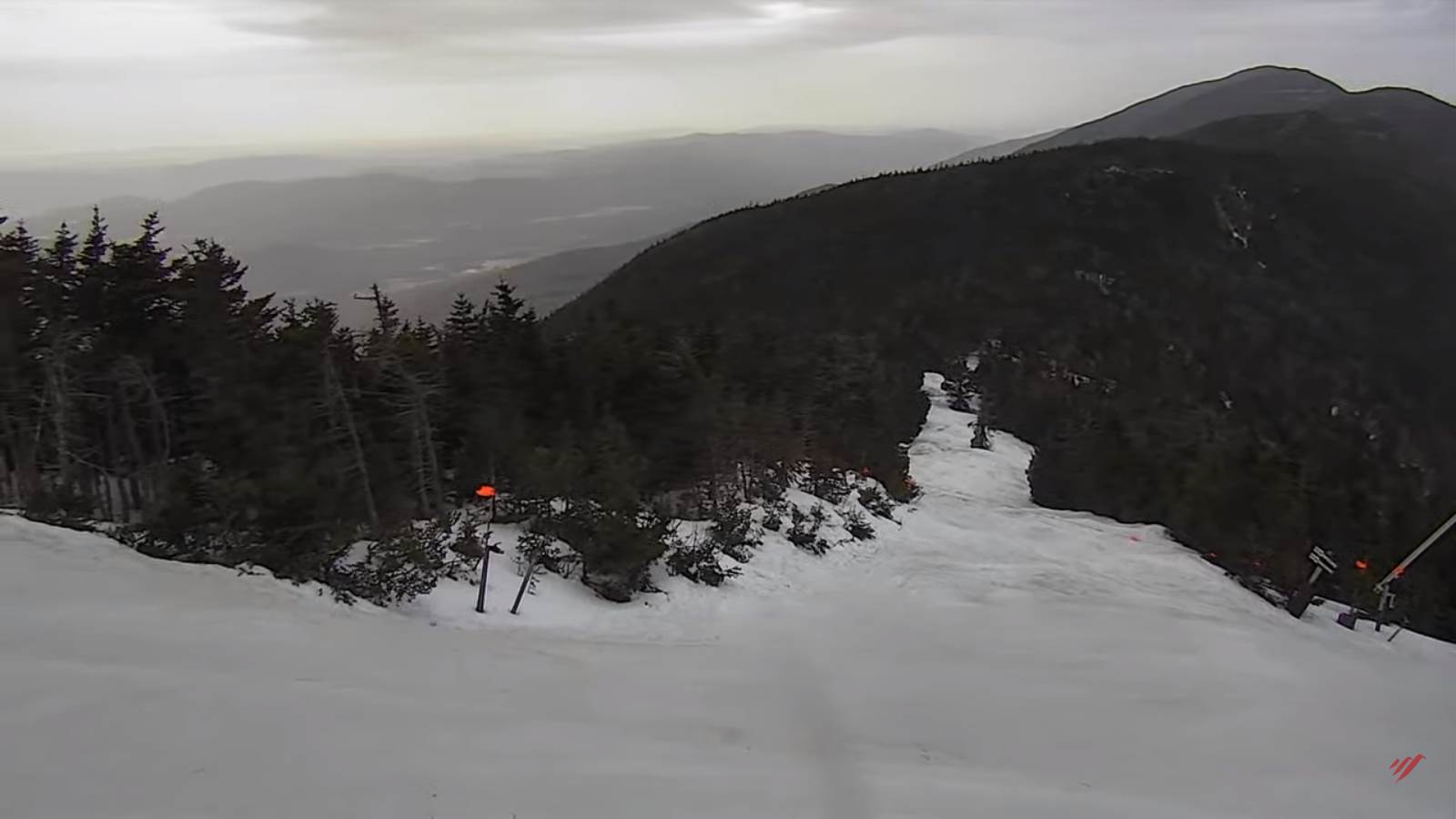
TODAY: Gray with showers, briefly moderate at times. Temperatures ranging thru the mid and upper 40s this morning and near 40 this afternoon. East to southeast winds 10 to 15 mph stronger and gusty late.
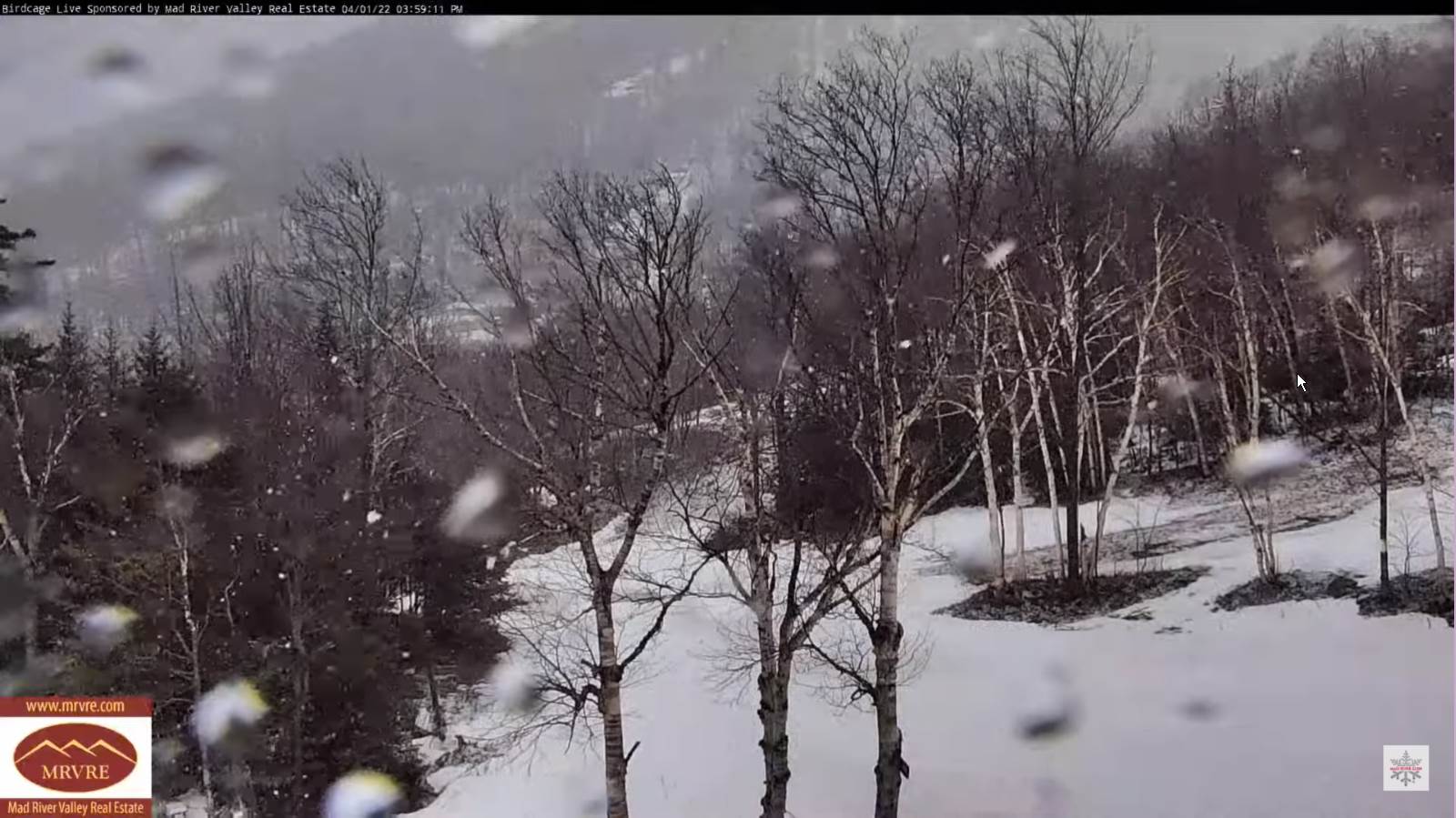
TONIGHT: Overcast. Rain…moderate at times…mixed with a little sleet high terrain. Blustery to windy. A low in the mid-30s. Gusty southeast winds 10 to 25 mph decreasing overnight.
FRIDAY: Scattered rain showers especially in the morning, drying up some in the afternoon, with a few intervals of sun developing in the afternoon. A high around 50. Light northwest winds.
Looking further ahead…
FRIDAY NIGHT: A few sprinkles in the evening, otherwise mostly cloudy. A low around 35.
SATURDAY: Considerable clouds. Chance for valley rain showers mixed with wet snow highest terrain. A high around 50.
SUNDAY: Mostly cloudy & blustery at times. Scattered mainly afternoon rain showers, mixed with a few wet snow flakes. A low 32 to 35. A high mid-40s to near 50.
MONDAY: Mostly sunny. A low near 32. A high about 50.
Average lows ranging mid-20s to low 30s. Average highs upper 40s to mid-50s.
RH/4-6 forecast][end]