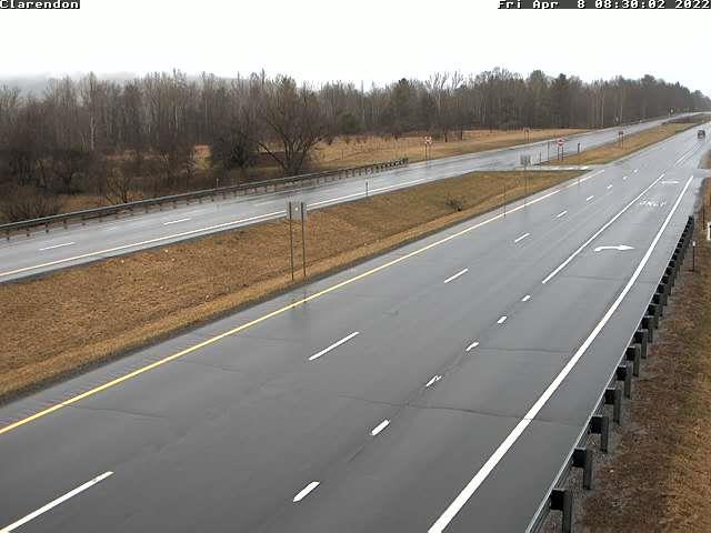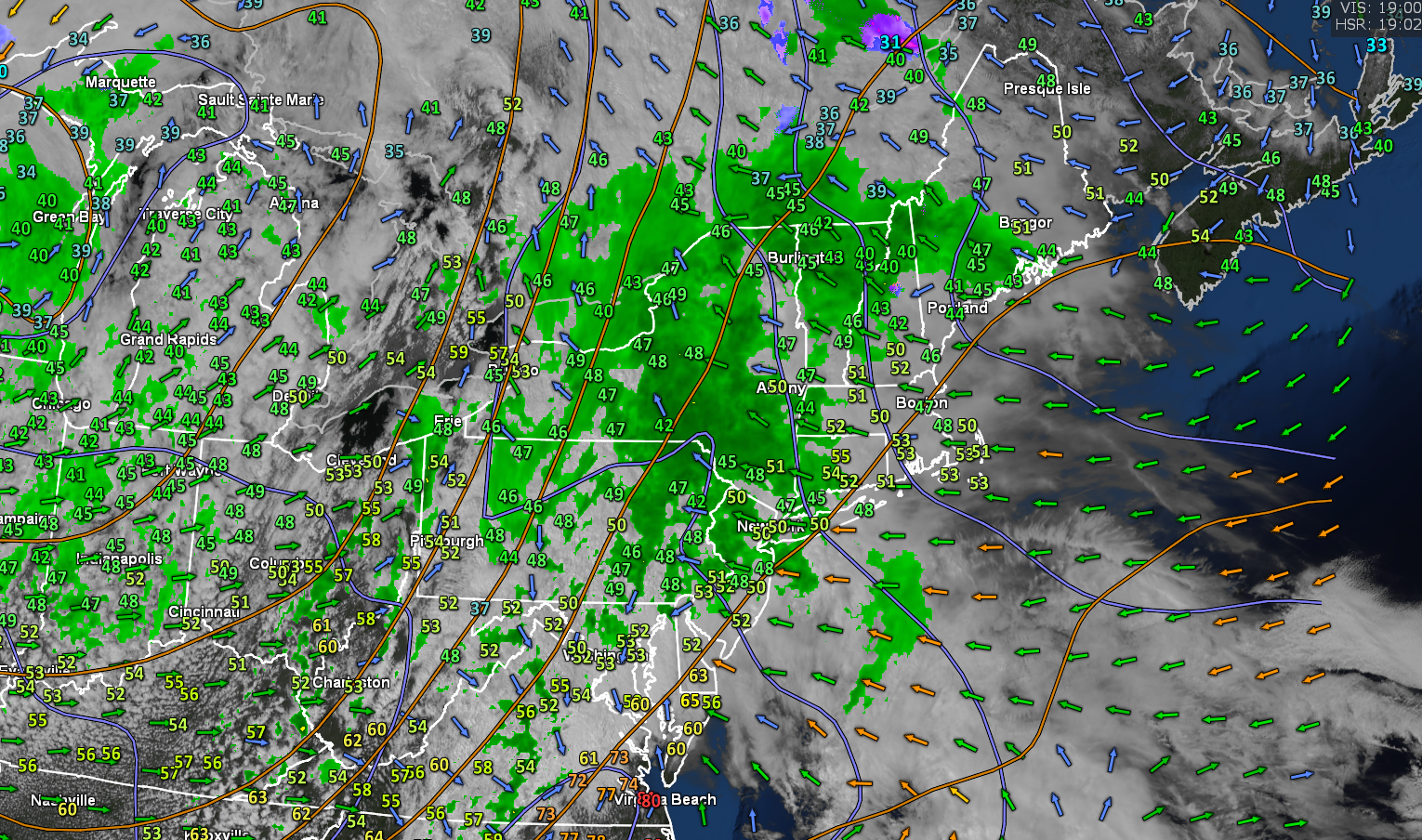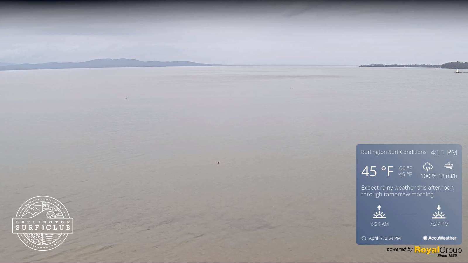
TODAY: Maybe a sprinkle northern areas this morning. Otherwise lots of clouds with a few breaks of sun. A round of showers develops mid to late afternoon with a few embedded thunderstorms possible western and southern areas. A high ranging upper 50s northern areas to mid-60s, western and southern Vermont. Southeast winds 10 mph.
TONIGHT: An evening shower or two exiting. Clearing toward midnight. Considerable valley fog toward morning. A low around 35. Light west winds.
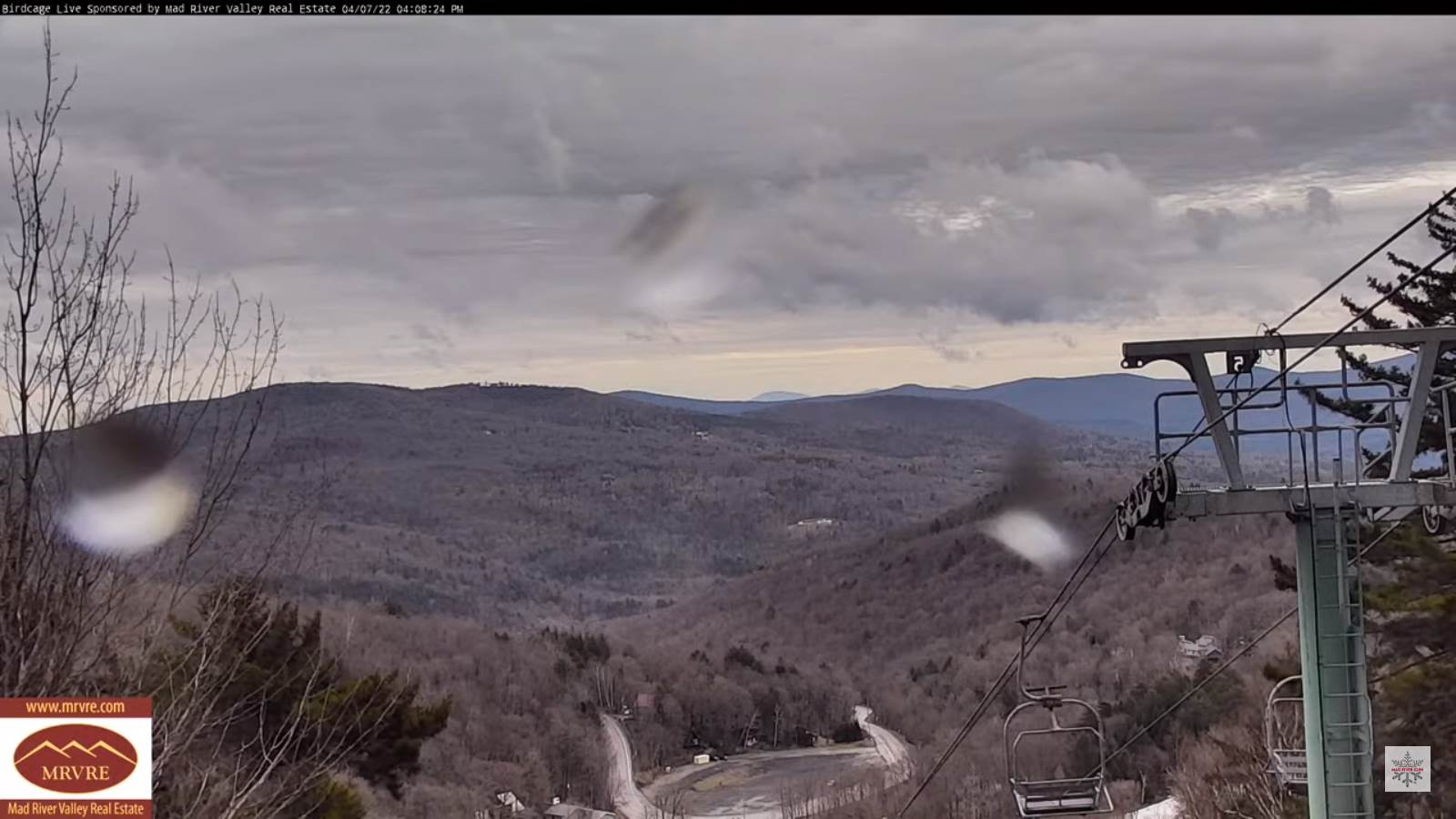
FRIDAY: Fog burns off to sunshine…before more afternoon clouds push in. A high in the low 60s. Southwest winds picking up in the afternoon 10 to 20 mph.
Looking further ahead…
FRIDAY NIGHT: Cloudy. Light showers or sprinkles becoming likely. A low in the low 40s.
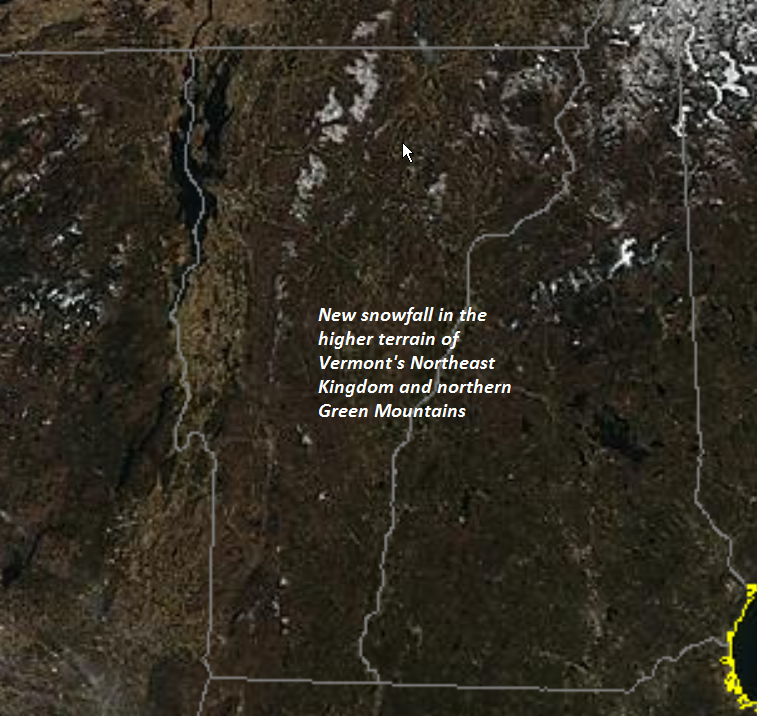
SATURDAY: Gray. Showers likely, mixing with wet snow northern elevated terrain a light coating late. A high ranging lower 40s northern areas to mid-50s south.
Full Pink Moon 7:55 PM Sunday Evening…
SUNDAY: Mostly cloudy. Scattered rain & wet snow showers, some minor coatings on grassy surfaces. A low 30 to 35. A high near 45.
MONDAY: Fog burns off to morning sunshine then partly in the afternoon. A low around 30. A high 50 to 55.
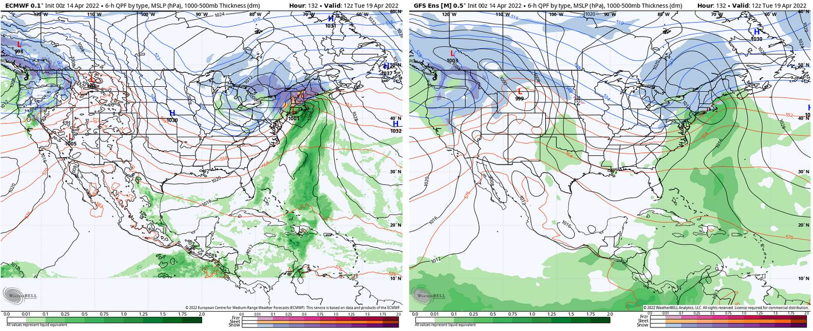
TUESDAY: Gray. Chance for snow, mixed with rain valley floors. A few inches elevated terrain possible. A low around 32. A high 45 to 50.
Average lows ranging upper-20s to mid-30s. Average highs low to mid 50s.
RH/4-14 forecast][end]