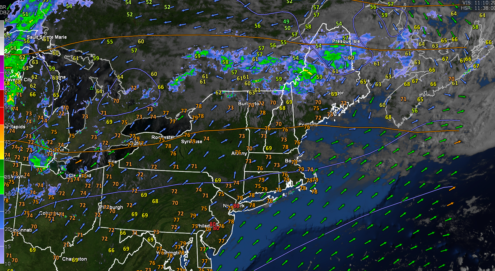
TONIGHT: A few evening clouds northern areas, then clear and moonlit. Isolated valley fog. Kind of cool, with a low 45 to 50. Light north winds.
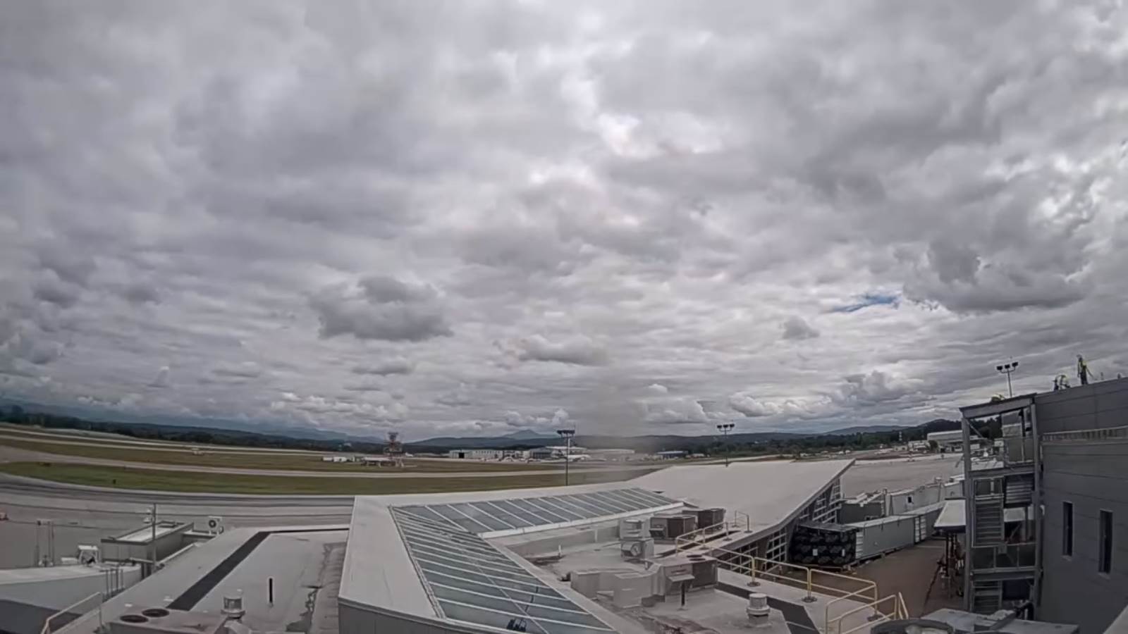
TOMORROW: Morning sun then more clouds in the afternoon. A high in the low 70s. Light north winds.
SATURDAY NIGHT: Clear and moonlit. Isolated valley fog. A low around 50. Little wind.
SUNDAY: Periods of morning sun, then mostly cloudy.A high in the low to mid 70s. Light north winds.
Looking Further Ahead…
SUNDAY NIGHT: Partly cloudy. A low in the mid-50s.
MONDAY: Lots of clouds with slight chance for a shower. A high around 75.
TUESDAY: Partly to mostly cloudy. Chance for showers. A low around 55. A high in the lower 70s.

WEDNESDAY: Mainly gray with a chance for a few showers. A low in the 50s. A high about 75.
Average lows mid to upper 50s. Average highs mid to upper 70s.
RH/8-11[forecast][end]