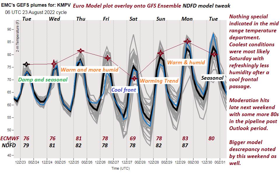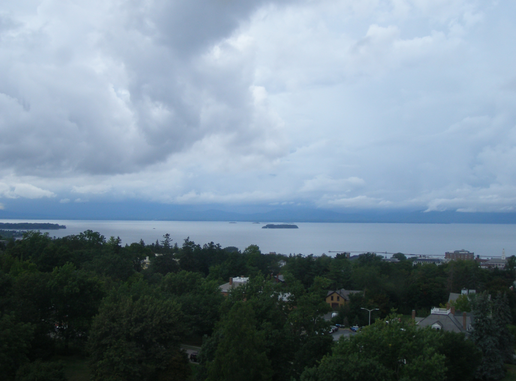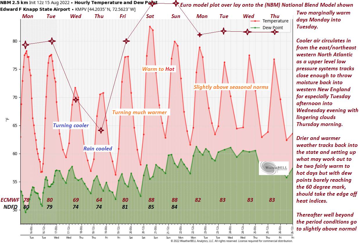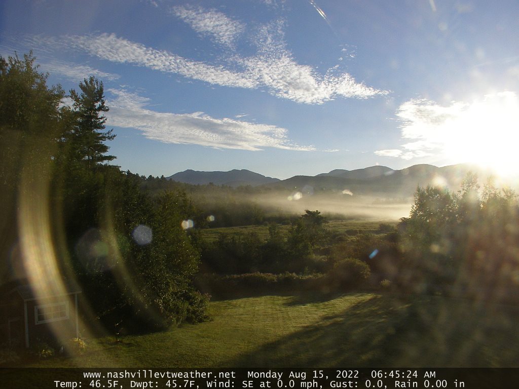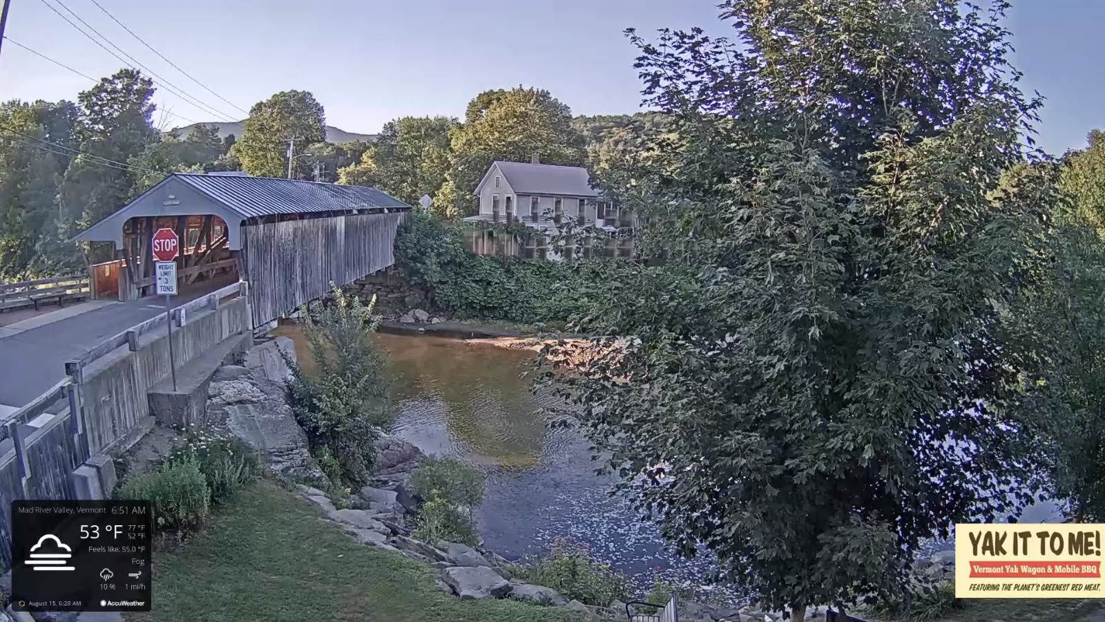
TONIGHT: A few evening clouds, then clear & starlit. Considerable valley fog. A low in the upper 50s to around 60. Light southwest winds.
TOMORROW: Morning fog, then sunshine mixed with a few clouds. Maybe a sprinkle northern mountains. Less humid with a high around 80. Northwest breeze 10 mph.
THURSDAY NIGHT: Cloudy northern areas, otherwise partly cloudy. Isolated valley fog. A low in the upper 50s. Light east winds.
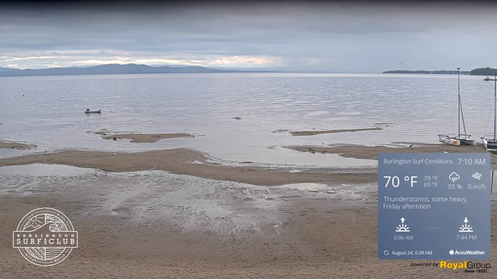
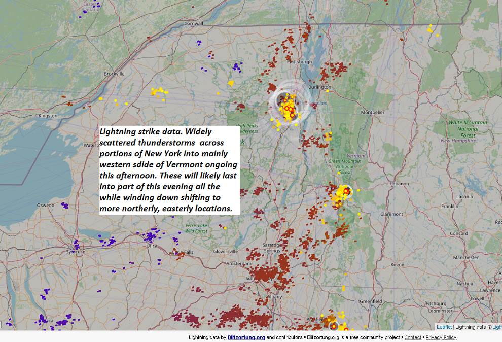
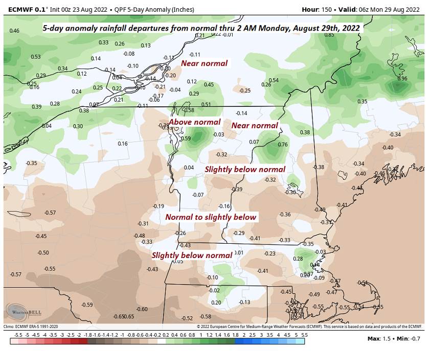
FRIDAY: Clouds with intervals of sun at times. Muggy. A rising chance for showers and afternoon thunderstorms, some possibly strong and locally heavy. A high upper 70s to around 80. South to southwest winds 10 mph.
Looking Further Ahead…
FRIDAY NIGHT: Cloudy. Scattered evening showers diminishing to partial clearing toward daybreak. A low 50 to 55.
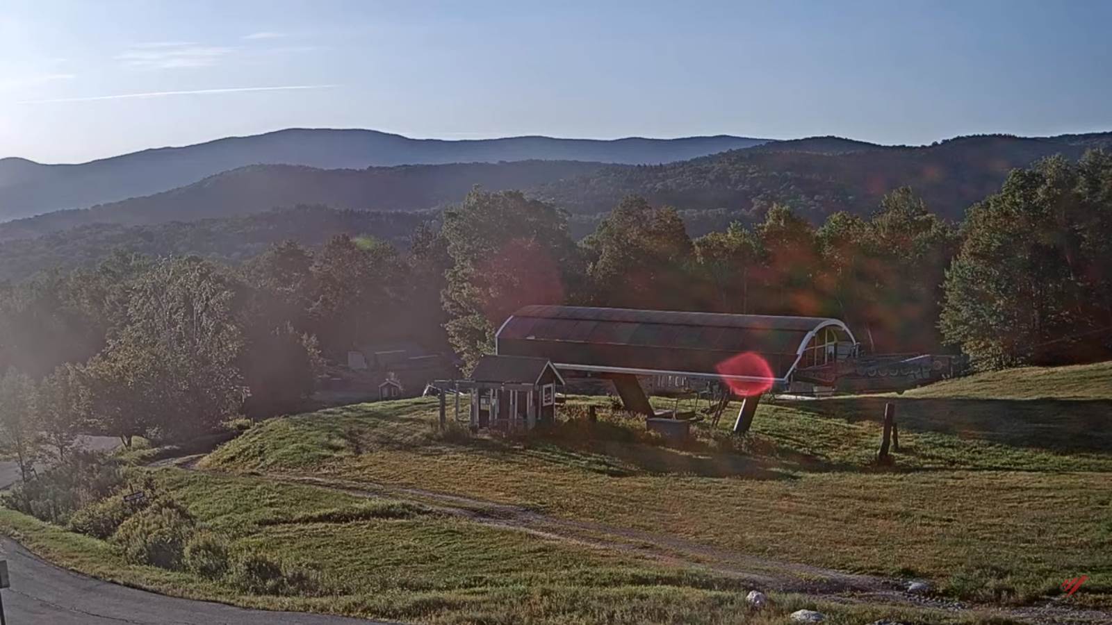
SATURDAY: Clouds lingering in the morning, then increasingly sunny in the afternoon. Refreshingly less humid. A high around 75.
SUNDAY: Mixed sun and clouds after morning fog. A low 50 to 55. More muggy in the afternoon. A high around 80.
MONDAY: Morning fog then sunshine mixed with more clouds. A low in the low to mid-60s. A high in the low 80s.
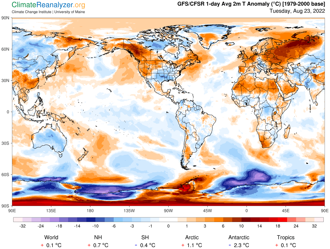
Average lows mid to upper 50s. Average highs mid to upper 70s.

RH/8-23[forecast][end]