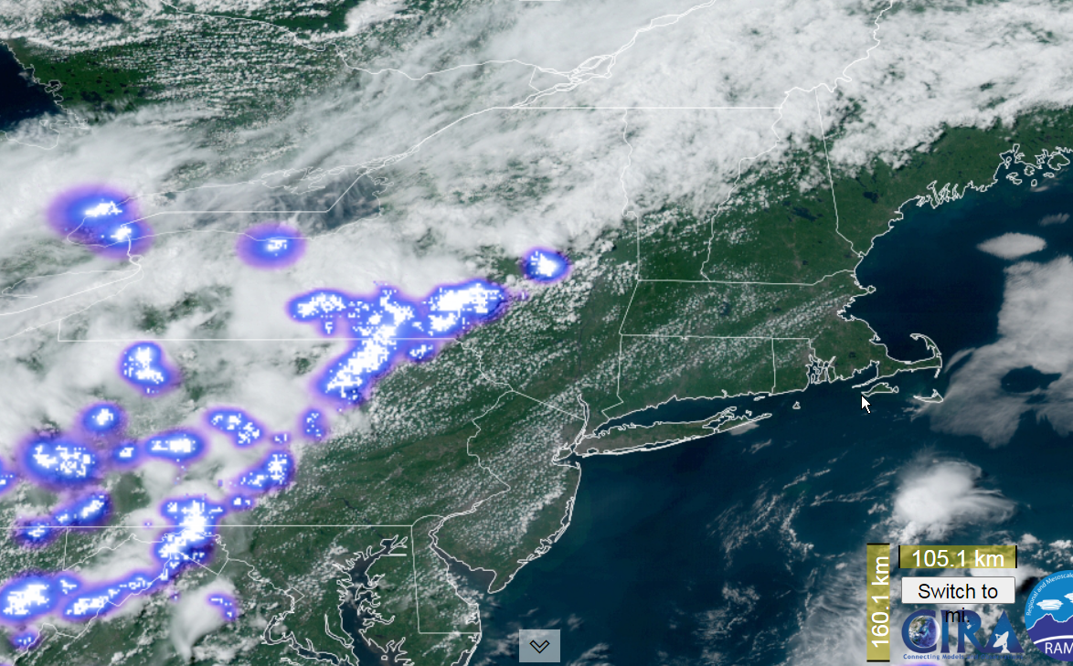
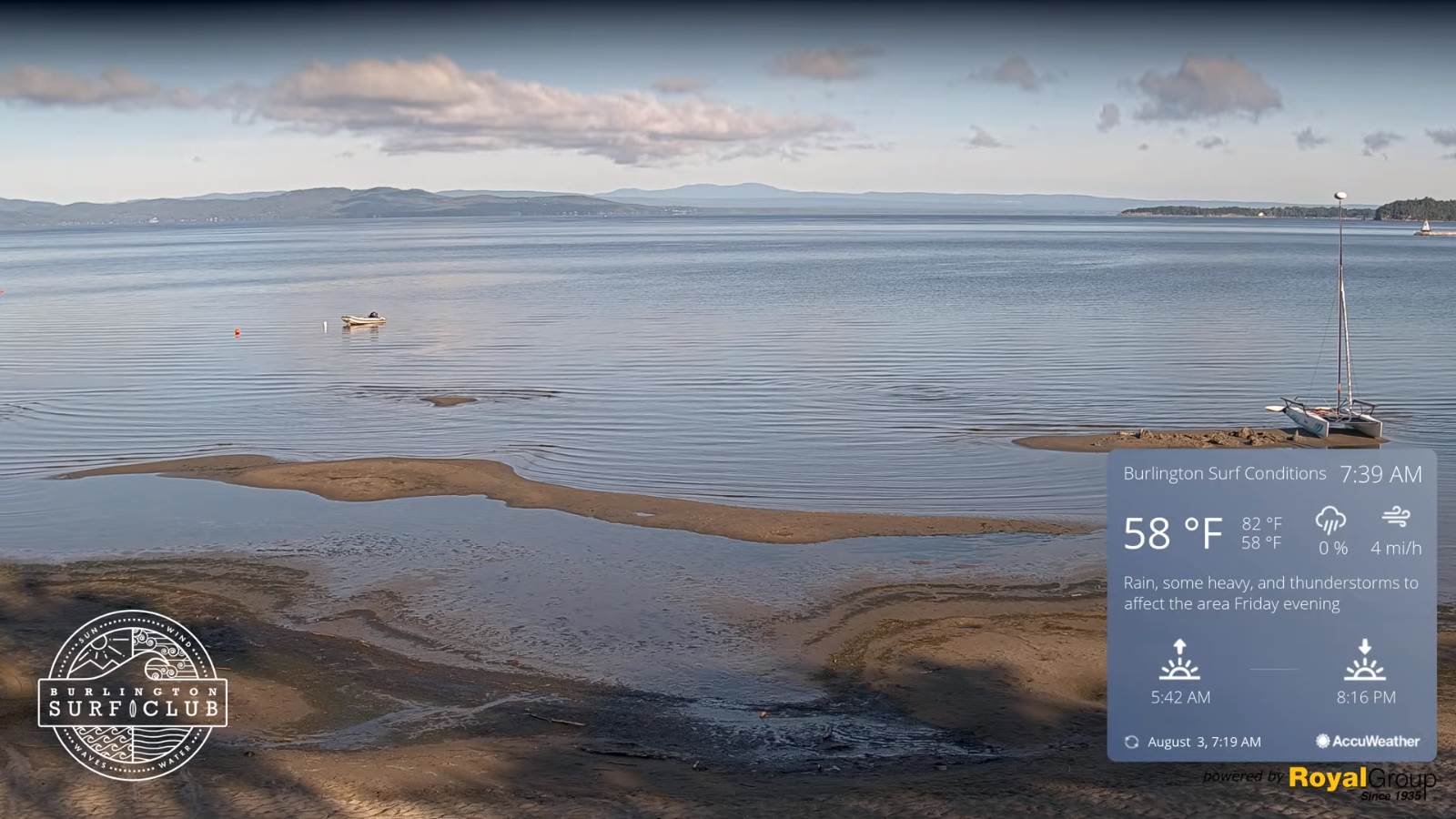
Updated Friday morning Forecast — July 22nd, 2022

Approximate half way point of summer.

TODAY: Pick of the week. Mostly sunny with few more afternoon clouds, warm but not so humid. A high mid to upper 80s. Westerly breeze 10 to 15 mph.

TONIGHT: Mostly clear. Patchy valley fog. A low about 65. Light south winds.

SATURDAY: Sunshine then some afternoon clouds. Moderately humid. A high in the mid-80s. Southwest winds 10 mph.

Looking Further Ahead…

SATURDAY NIGHT: A few clouds otherwise mostly clear. A low in the mid-60s.

SUNDAY: Partial sunshine gives way to thickening clouds. Isolated late day thunderstorms toward the Champlain Valley becoming more numerous Monday night. Rather hot. A high around 90.

MONDAY: Scattered showers and thunderstorms early, then partial clearing cooler and less humid in the afternoon. A low upper 60s to low 70s. A high in the low 80s.

TUESDAY: Mixed sun and clouds. Cooler and refreshingly less humid. A low 55 to 60. A high 75 to 80.

WEDNESDAY: Partly to mostly sunny. A low in the mid-50s. A high 80 to 85.

Average lows 60 to 65. Average highs upper-70s to low 80s. Peak of summer

RH/7-22[forecast][end]

Updated Thursday Evening Forecast — July 21st, 2022

TONIGHT: Any leftover showers and thunderstorms exit early then clearing. Patchy valley fog. A low in the mid-60s. Light southwest winds.

Approximate peak of climatological summer, or half way point.

TOMORROW: Pick of the week. Mostly sunny, warm not so humid. A high mid to upper 80s. Westerly breeze 10 to 15 mph.

FRIDAY NIGHT: Mostly clear. Patchy valley fog. A low in the low 60s. Light south winds.

SATURDAY: Partly to mostly sunny & just moderately humid. A high in the mid to upper 80s. Southwest winds 10 mph.

Looking Further Ahead…

SATURDAY NIGHT: A few clouds otherwise mostly clear. A low in the mid-60s.

SUNDAY: Partly sunny & rather hot. Isolated late day thunderstorms toward the Champlain Valley becoming more numerous Monday night. A high 90 to 95.

MONDAY: Mainly cloudy. Chance for showers and a few thunderstorms early, then partial clearing cooler and less humid in the afternoon. A low ranging thru the 70s. A high near 85.

TUESDAY: Mixed sun and clouds. Refreshingly less humid. A low upper 50s to around 60. A high around 80.

Average lows 60 to 65. Average highs upper-70s to low 80s. Peak of summer

RH/7-21[forecast][end]

Updated Thursday Morning Forecast — July 21st, 2022

TODAY: Variable cloudiness. A couple rounds of scattered showers and thunderstorms…a few possibly strong to locally severe developing toward Noon into the afternoon. A high in the mid to upper 80s. Southwest breeze 10 to 15 mph.

TONIGHT: Any leftover showers and thunderstorms exit early then clearing. Patchy valley fog. A low in the low to mid 60s. Light southwest winds.

Approximate peak of climatological summer, or half way point.

FRIDAY: Pick of the week. Mostly sunny and less humid. A high in the mid-80s. Westerly breeze 10 to 15 mph.

Looking Further Ahead…

FRIDAY NIGHT: Mostly clear. A low 60 to 65.

SATURDAY: Partly to mostly sunny & just moderately humid. A high near 85.

SUNDAY: Partly sunny, sultry and hot. Chance for late day showers and strong to locally severe thunderstorms. A low 65 to 70. A high in the upper 80s to lower 90s.

MONDAY: Mostly cloudy with a chance for showers and thunderstorms early, then partial clearing cooler. A low 65 to 70. A high mid-80s.

TUESDAY: Mixed sun and clouds. Cooler and much less humid. A low in the mid-50s. A high upper 70s to around 80.

Average lows 60 to 65. Average highs upper-70s to low 80s. Peak of summer

RH/7-20[forecast][end]

Updated Wednesday Evening Forecast — July 20th, 2022

Heat Advisory Champlain Valley thru 8 PM…

TONIGHT: Some clouds early, isolated thunderstorms northern areas diminishing, then mostly clear. Rather humid. A low around 70. Light south winds, but strong Lake Champlain.

TOMORROW: Partly sunny and sticky. Widely scattered showers & afternoon and evening thunderstorms…some strong

with heavy downpours. A high 85 to 90. Southwest breeze 10 to 15 mph.

THURSDAY NIGHT: Mostly clear. Patchy valley fog. A low in the low to mid 60s. Light southwest winds.

Approximate peak of climatological summer, or half way point.

FRIDAY: Pick of the week. Mostly sunny and less humid. A high in the mid-80s. Westerly breeze 10 mph.

Looking Further Ahead…

FRIDAY NIGHT: Mostly clear. A low 60 to 65.

SATURDAY: Partly to mostly sunny & just moderately humid. A high near 85.

SUNDAY: Mostly cloudy, sultry and warm. Chance for showers & thunderstorms. A low 65 to 70. A high upper 80s to near 90.

MONDAY: More sunshine than clouds. A low near 65. A high mid-80s.

TUESDAY: Mixed sun and clouds. Cooler and much less humid. A low in the mid-50s. A high upper 70s to around 80.

Average lows 60 to 65. Average highs upper-70s to low 80s. Peak of summer

RH/7-20[forecast][end]

Updated Wednesday Morning Forecast — July 20th, 2022

Heat Advisory Champlain Valley…

TODAY: Sunshine after morning fogwith a few afternoon clouds.Muggy and hot. A high pushing near 90.

Light westerly breeze.

TONIGHT: Partly cloudy early, then mostly clear. Rather humid. A low around 70. Light south winds.

THURSDAY: Partly sunny and sticky. Scattered showers & afternoon and evening thunderstorms…some strong with heavy downpours. A high 85 to 90. South breeze 10 to 20 mph.

Looking Further Ahead…

THURSDAY NIGHT: Mostly clear. Patchy valley fog. A low in the low to mid 60s.

Approximate peak of climatological summer, or half way point.

FRIDAY: Pick of the week. Mostly sunny and less humid. A high in the mid-80s.

SATURDAY: Partly to mostly sunny & just moderately humid. A low 60 to 65. A high near 85.

SUNDAY: Clouds with intervals of sun. More humid again. Chance for showers & thunderstorms. A low around 65. A high mid to upper 80s.

MONDAY: More sun then clouds. A low near 60. A high mid-80s.

Average lows 60 to 65. Average highs upper-70s to low 80s. Peak of summer

RH/7-20[forecast][end]

Updated Tuesday Evening Forecast — July 19th, 2022

TONIGHT: Partly cloudy. A shower or thunderstorm possible northern and western areas.Patchy valley fog. A low near 65.Light southwest winds.

TOMORROW: Sunshine after morning fog. Partly cloudy.Muggy and warm to hot. A high in the upper 80s pushing 90.Light westerly breeze.

WEDNESDAY NIGHT: Partly cloudy early, then mostly clear. Rather humid. A low upper 60s to around 70. Light south winds.

THURSDAY: Variably cloudy and sticky. Scattered showers & afternoon and evening thunderstorms…some strong with heavy downpours. A high in the upper 80s pushing 90. South breeze 10 to 20 mph.

Looking Further Ahead…

THURSDAY NIGHT: A low in the low to mid 60s.

Approximate peak of climatological summer, or half way point.

FRIDAY: My Pick of the week. Lots of sunshine and less humid. A high in the mid-80s.

SATURDAY: Partly sunny & moderately humid. Slight chance for a shower or storm far north. A low 60 to 65. A high near 85.

SUNDAY: Clouds with intervals of sun. More humid again. Chance for showers & thunderstorms. A low 65 to 70. A high about 80.

Average lows 60 to 65. Average highs upper-70s to low 80s. Peak of summer

RH/7-19[forecast][end]

Updated Tuesday Morning Forecast — July 19th, 2022

TODAY: Morning clouds, give way to partly to mostly sunny skies. Muggy. An isolated shower or thunderstorm northern areas with a high 80 to 85. West breeze 10 to 20 mph.

TONIGHT: Scattered cloudswith a leftover shower or thunderstorm Northeast Kingdom. Patchy valley fog. A low 60 to 65.Light southwest winds.

WEDNESDAY: Partly sunny after morning fog. Muggy and warm to hot. A high in the upper 80s to near 90.Light southwest breeze.

Looking Further Ahead…

WEDNESDAY NIGHT: Scattered clouds. Rather humid. A low 65 to 70.

THURSDAY: Variably cloudy and sticky. Scattered afternoon and evening showers and thunderstorms…some strong with heavy downpours. A high mid to upper 80s.

Approximate peak of climatological summer, or half way point.

FRIDAY: My Pick of the week. Lots of sunshine and less humid. A low in the low 60s. A high near 85.

SATURDAY: Partly sunny & moderately humid. Slight chance for a shower or storm far north. A low around 60. A high near 85.

SUNDAY: Clouds with intervals of sun. More humid again. Scattered showers, isolated thunderstorms. A low 65 to 70. A high about 80.

Average lows 60 to 65. Average highs upper-70s to low 80s. Peak of summer

RH/7-19[forecast][end]

Updated Monday Evening Forecast — July 18th, 2022

TONIGHT: Considerable cloudiness. Showers, with an embedded thunderstorm possible for a time this evening. A low

around 65. West to southwest breeze 10 to 15 mph.

TOMORROW: Lots of morning clouds, then periods of afternoon sunshine. Widely scattered showers and thunderstorms mainly northern, and eastern areas. One or two storms possibly strong and locally heavy. A high 80 to 85. West breeze 10 to 20 mph.

TUESDAY NIGHT: Scattered cloudswith a leftover shower or thunderstorm. Patchy valley fog. A low 60 to 65.Light southwest winds.

WEDNESDAY: Partly sunny after morning fog. Maybe a late day thunderstorm far western areas. A high upper 80s to around 90.Light southwest breeze.

Looking Further Ahead…

WEDNESDAY NIGHT: Scattered clouds. A low around 70.

THURSDAY: Variably cloudy. Scattered afternoon and evening showers and thunderstorms…some could be strong to locally severe. A high in the mid-80s.

Approximate peak of climatological summer, or half way point…

FRIDAY: Pick of the week. Lots of sunshine. A low in the lower 60s. A high around 85.

SATURDAY: Partly sunny. Slight chance for shower or storm. A low 60 to 65. A high near 85.

Average lows 60 to 65. Average highs upper-70s to low 80s. Peak of summer

RH/7-15[forecast][end]

Updated Monday morning Forecast — July 18th, 2022

TODAY: Thickening clouds, leading to periods of rain this early afternoon, moderate at times with a rumble of thunder possible late toward Rutland. A high in the upper 70s. Southwest 10 mph.

TONIGHT: Considerable clouds. Showers, with an embedded thunderstorm possible. A low around 65. Winds becoming westerly 10 to 20 mph overnight and gusty.

TUESDAY: Lots of morning clouds, then periods of afternoon sunshine. Widely scattered showers and thunderstorms mainly northern, and eastern areas. One or two storms possibly strong and locally heavy. A high 80 to 85. West breeze 10 to 15 mph.

Looking Further Ahead…

TUESDAY NIGHT: Scattered cloudswith a leftover shower or thunderstorm. Patchy valley fog. A low 60 to 65.

WEDNESDAY: Partly to mostly sunny. Maybe a late day thunderstorm far western areas. A high around 90.

THURSDAY: Mixed sun and clouds. Scattered afternoon and evening showers and thunderstorms…some could be strong to locally severe. A low in the upper 60s to around 70. A high in the mid to upper 80s.

FRIDAY: Mostly sunny and a beauty warm summer day. A low near 60. A high in the mid to upper 80s.

SATURDAY: Partly sunny. Slight chance for shower or storm. A low around 60. A high 80 to 85.

Average lows mid-50s to low 60s. Average highs upper-70s to low 80s.

RH/7-15[forecast][end]

Updated Friday Evening Forecast — July 15th, 2022

TONIGHT: Fair early then increasing/thickening high clouds. A low near 55. Light southeast winds.

TOMORROW: High cloudiness early, gives way to lots of afternoon sunshine central and northern areas. Warmer & more humid. A high 80 to 85. Southwest breeze 10 mph.

SATURDAY NIGHT: Mostly clear with some high cloudiness. A low 55 to 60. Light south winds.

SUNDAY: Sunshine with some high cloudiness. Humid. An isolated shower or thunderstorm. Warmer. A high around 85. West to northwest breeze 10 mph.

Looking further ahead…

SUNDAY NIGHT: Mostly clear. A low in the lower 60s.

MONDAY: Filtered sun then variable cloudiness and muggy. Showers & thunderstorms developing in the afternoon into Monday night…possibly heavy at times A high in the upper 80s to near 90.

TUESDAY: Sunshine mixing with afternoon clouds. Widely scattered afternoon showers and thunderstorms. A low in the

mid-60s. A high 80 to 85.

WEDNESDAY: Morning clouds then partly sunny Kind of muggy. A low in the low 60s. A high near 85.

Average lows mid-50s to low 60s. Average highs upper-70s to low 80s.

RH/7-15[forecast][end]