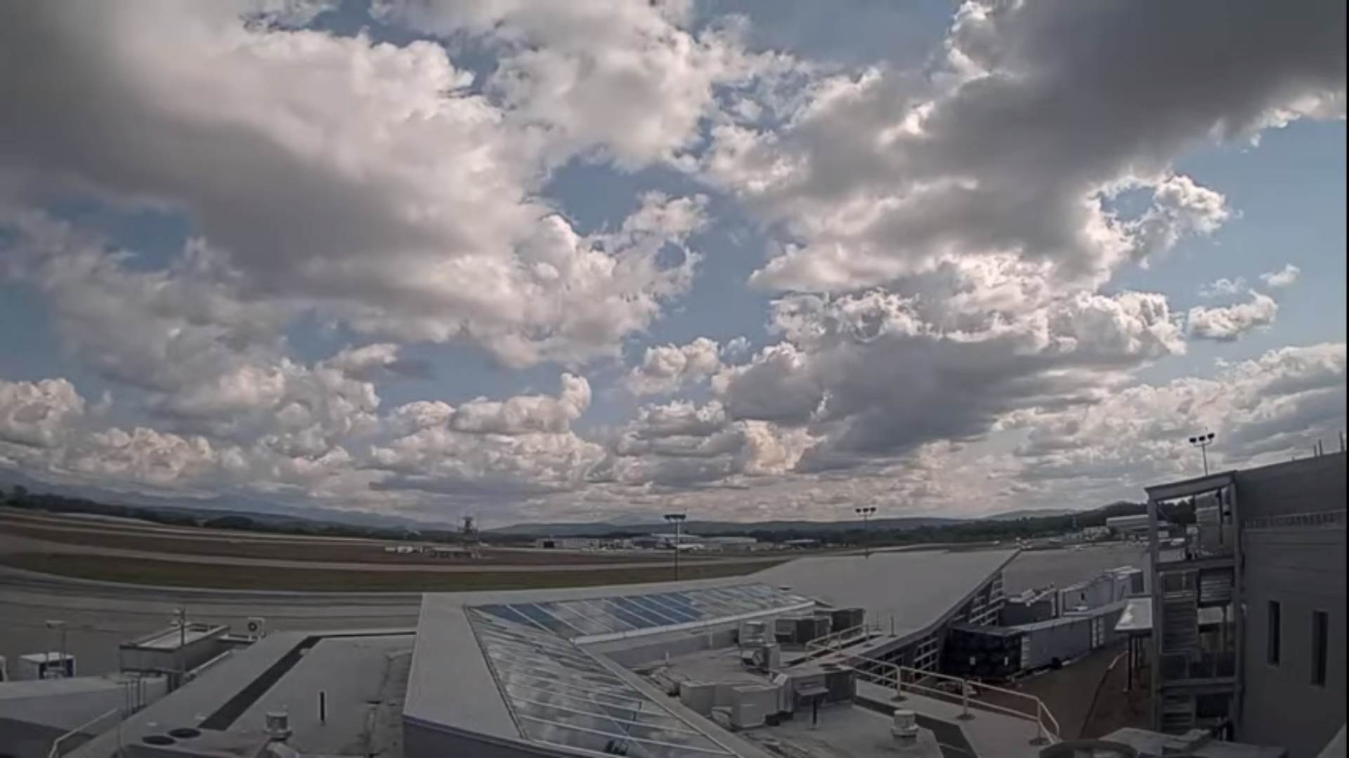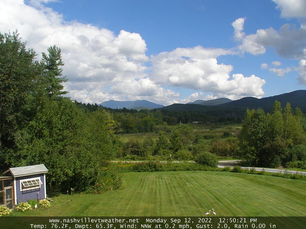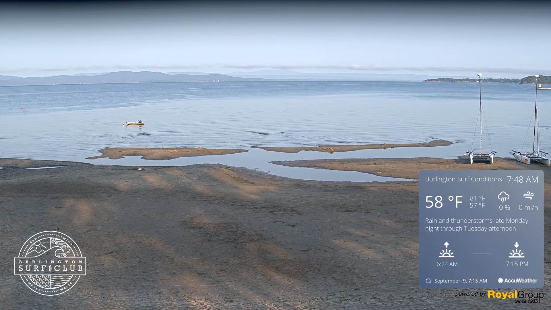
TODAY: Partly cloudy northern areas this morning, otherwise lots of sunshine, turning smoky. Chilly. A high only upper 50s to near 60. Northwest winds 10 to 15 mph.
TONIGHT: Clear this evening, then more clouds overnight. Patchy valley fog. Chilly. A low near 45. Light west winds.
FRIDAY: Some sunshine mixed with variable cloudiness. Still autumn-like with a high 60 to 65. Northwest winds 10 to 20 mph.
Looking Further Ahead…
FRIDAY NIGHT: Mostly clear with high clouds. Patchy valley fog. A low 40 to 45.
SATURDAY: Sunshine mixing with high cloudiness. A high near 70.
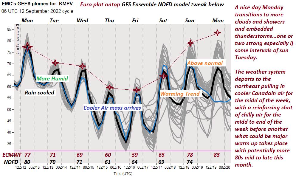
SUNDAY: Mainly gray. Chance for showers. Maybe a few rumbles of thunder southern areas. A bit milder and more humid. A low mid-50s to low 60s. A high around 75.
MONDAY: Gray. Chance for showers or periods of rain. A low in the 50s. A high around 65.
TUESDAY: Chance for showers early then partly cloudy. Blustery to windy. A low in the 50s. A high around 60.
Average lows mid-40s to low 50s. Average highs upper 60s to low 70s
RH/9-14[forecast][end]