Updated Wednesday Evening Forecast — September 21st, 2022

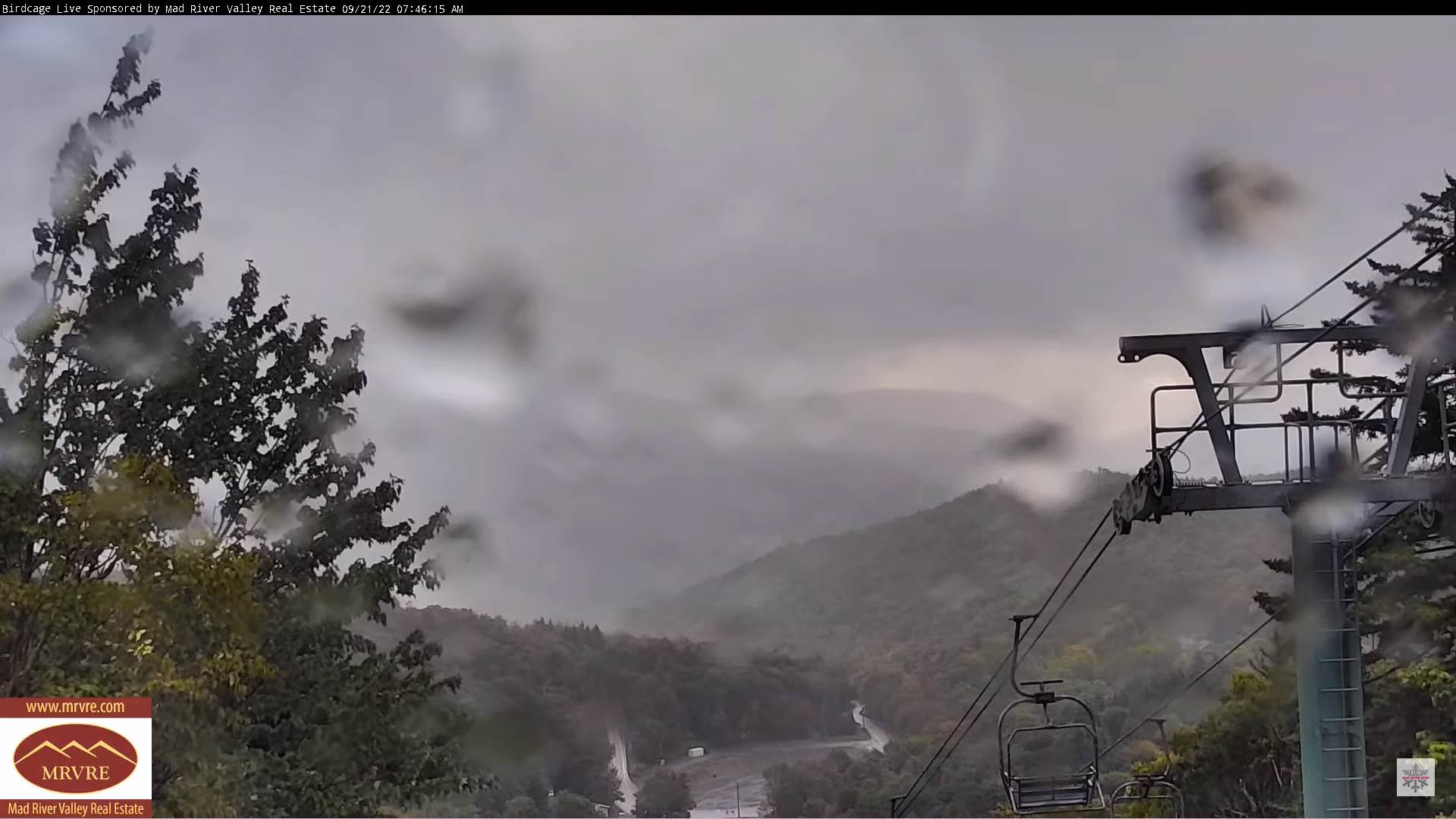
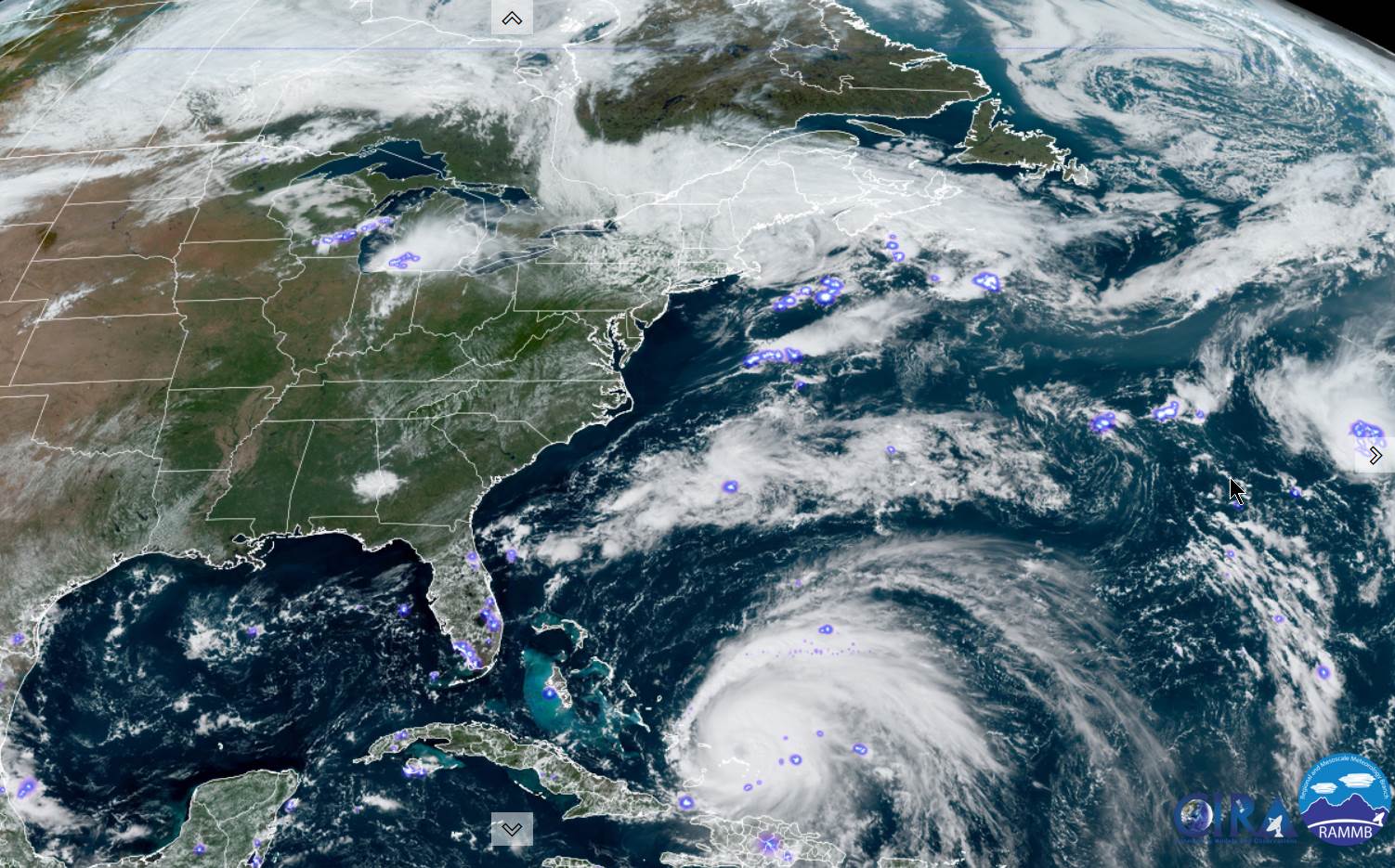
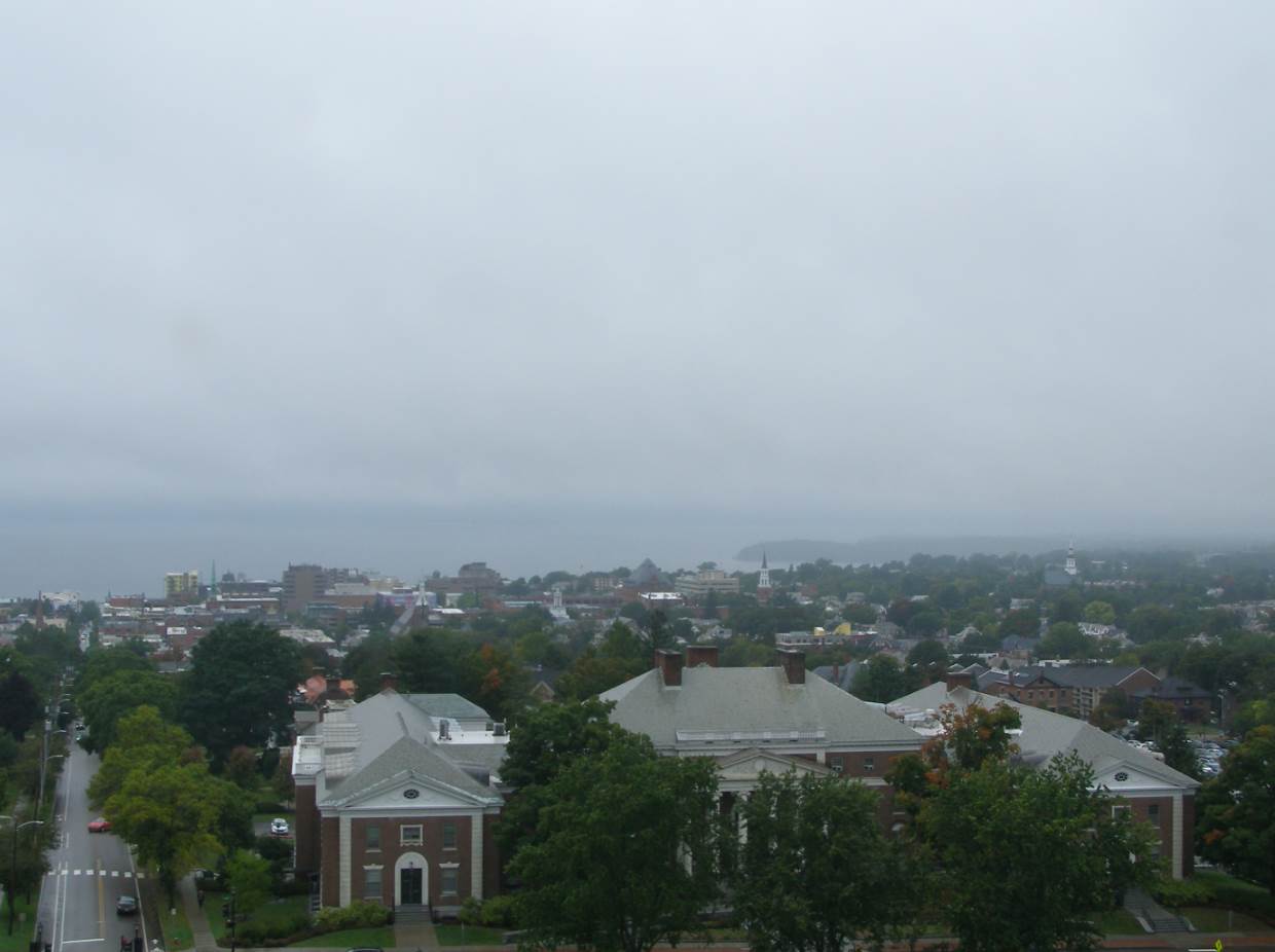
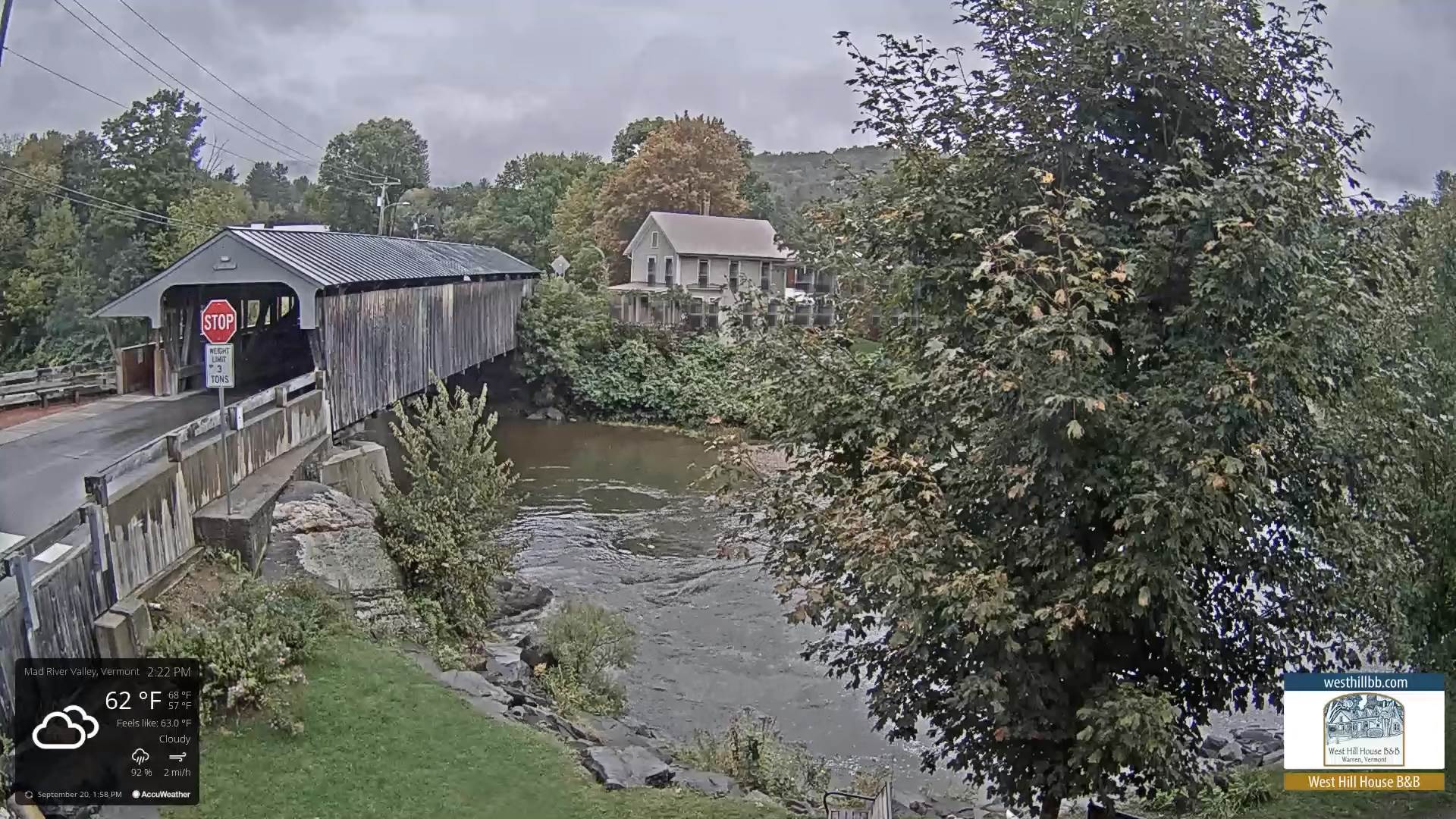
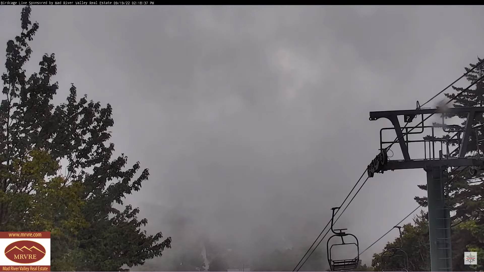
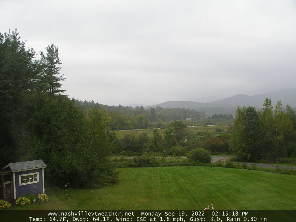
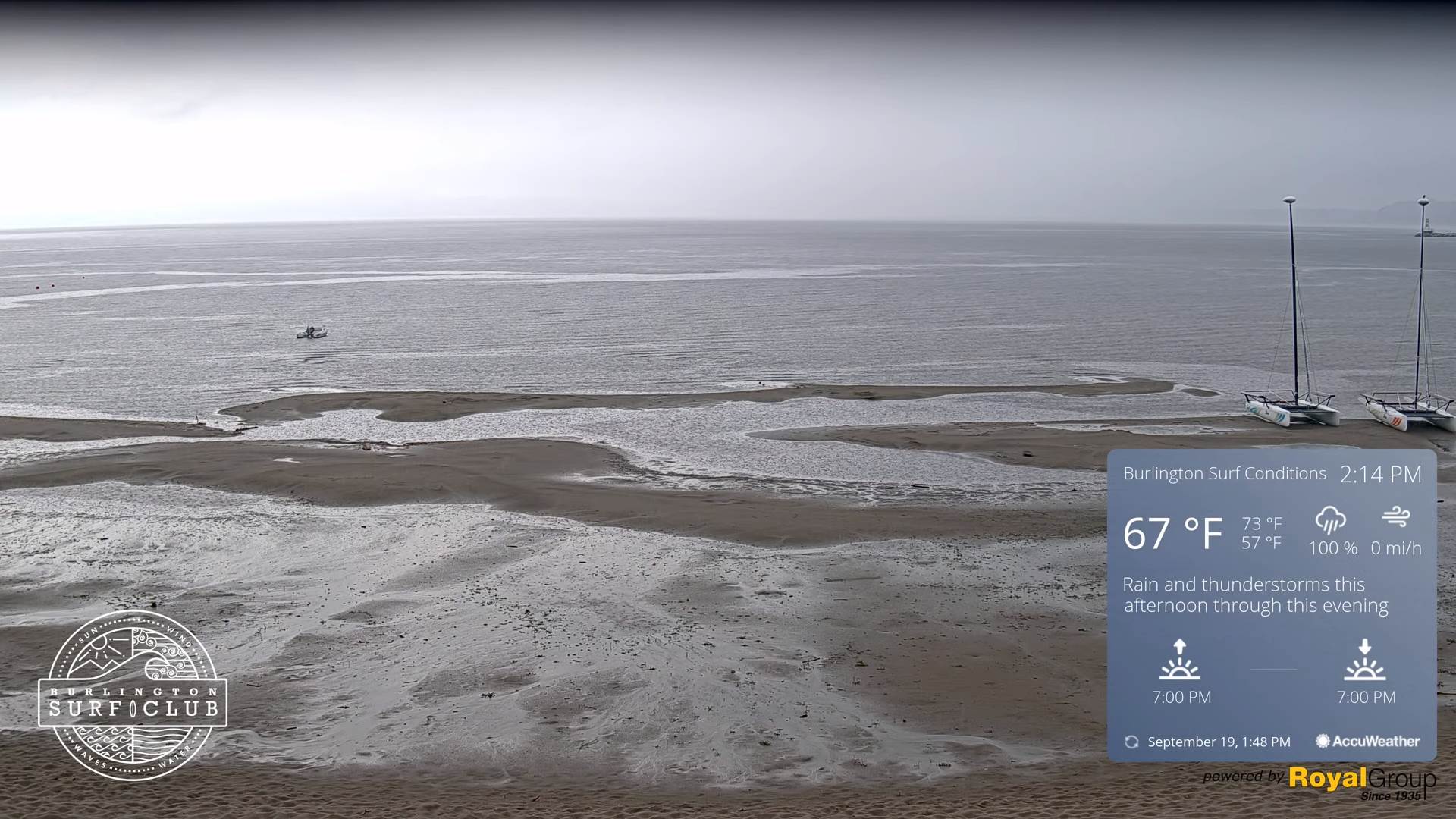
TONIGHT: Variably cloudy, leading to showers, some heavy, with isolated thunderstorms later this evening. A low mid to upper 50s. South winds 10 mph.

TOMORROW: Morning showers…some heavy at times with rumbles of thunder. Sun mixing with clouds for the afternoon with a lingering sprinkle northern areas. A high near 65. Winds become northwesterly 10 to 25 mph and gusty in the afternoon.

Autumnal Equinox 9:03 PM Thursday evening…

THURSDAY NIGHT: A left-over sprinkle early, otherwise cloudy. A low in the mid-40s. Northwest winds 10 to 15 mph.

FRIDAY: Mostly cloudy blustery and colder. Some increasing late day sunshine. A high in the lower 50s. Gusty northwest winds 10 to 20 mph.

Looking Further Ahead…

FRIDAY NIGHT: Mostly clear with patchy valley fog. Risk for frost colder hollows. A low mid to upper 30s.

SATURDAY: Partly to mostly sunny after morning fog & a cold start. A high 55 to 60.

SUNDAY: Areas of dense valley fog, then periods of sunshine mixed with more afternoon clouds. Chilly morning low around 40. A high in the mid-60s.

MONDAY: Gray. Chance for showers or periods of rain. A low around 50. A high near 65.

Average lows low to mid 40s. Average highs mid to upper 60s.

RH/9-21[forecast][end]

Updated Wednesday Morning Forecast — September 21st, 2022

TODAY: Pick of the week. Morning clouds and a brief shower or two, then intervals of afternoon sun. Milder, a high near 70. Light southwest winds.

TONIGHT: Clouding up, leading to a rising chance for showers and isolated thunderstorms late evening on. A low around 55. South breeze 10 mph.

THURSDAY: Showers…and heavy thunderstorms in the morning, gives way to partial late afternoon sunshine. A high in the mid-60s. Winds shifting to northwesterly 10 to 20 mph.

Looking Further Ahead…

Autumnal Equinox 9:03 PM Thursday evening…

THURSDAY NIGHT: Mostly cloudy. A low in the low to mid-40s.

FRIDAY: Mostly cloudy, blustery and chilly with northern mountain sprinkles give way to periods of late afternoon sunshine. A high 50 to 55. Gusty northwest winds.

SATURDAY: Partly to mostly sunny after morning valley fog. A low upper 30s near 40. A high in the mid to upper 50s.

SUNDAY: Areas of dense valley fog, then periods of sunshine mixed with more afternoon clouds. Chilly morning low upper 30s to around 40. A high in the mid-60s.

MONDAY: Gray. Chance for showers or periods of rain. A low in the low 50s. A high around 65.

Average lows low to mid 40s. Average highs mid to upper 60s.

RH/9-21[forecast][end]

Updated Tuesday Evening Forecast — September 20th, 2022

TONIGHT: Lots of clouds with a leftover shower or two early, then partly cloudy overnight with patchy valley fog. A low in the lower 50s. Light northwest winds.

TOMORROW: Pick of the week. Morning clouds, gives way to intervals of afternoon sun. Milder, a high around 70. Light southwest winds.

WEDNESDAY NIGHT: Clouding up, leading to a rising chance for showers and isolated thunderstorms overnight. A low 50 to 55. South breeze 10 mph.

THURSDAY: Showers…and heavy thunderstorms in the morning, gives way to partial late afternoon sunshine. A high in the mid 60s. Winds shifting to northwesterly 10 to 20 mph.

Looking Further Ahead…

THURSDAY NIGHT: Mostly cloudy. A low around 45.

FRIDAY: Partly to mostly cloudy, blustery and cooler. A few mountain sprinkles dry up, giving way to periods of afternoon sunshine. A high in the mid-50s. Gusty northwest winds.

SATURDAY: Partly to mostly sunny after morning valley fog. A low upper 30s near 40. A high 55 to 60.

SUNDAY: Areas of dense valley fog, then periods of sunshine mixed with high cloudiness. Chilly morning low upper 30s to around 40. A high in the mid-60s.

Average lows low to mid 40s. Average highs mid to upper 60s.

RH/9-20[forecast][end]

Updated Tuesday morning forecast — September 20th, 2022

TODAY: Mainly cloudy and continued damp with occasional showers. A high in the mid-60s. Light northwest winds.

TONIGHT: Lots of clouds with a leftover shower or two. A low 50 to 55. Light northwest winds.

WEDNESDAY: Pick of the week. Morning clouds, gives way to intervals of afternoon sun. Milder, a high in the low 70s. Winds becoming light and southwesterly.

Looking Further Ahead…

WEDNESDAY NIGHT: Clouding up, leading to a rising chance for showers and isolated thunderstorms overnight. A low 50 to 55.

THURSDAY: Showers…and heavy thunderstorms in the morning, gives way to partial late afternoon sunshine. A high in the mid 60s.

FRIDAY: Mostly cloudy. Chance for mountain sprinkles. A low around 45. A high in the mid-50s.

SATURDAY: Partly to mostly sunny after morning valley fog. A low upper 30s near 40. A high 55 to 60.

SUNDAY: Areas of dense valley fog, then periods of sunshine before more clouds later on. A low upper 30s to around 40. A high in the mid-60s.

Average lows low to mid 40s. Average highs mid to upper 60s.

RH/9-19[forecast][end]

Updated Monday Evening Forecast — September 19th, 2022

TONIGHT: Cloudy. Showers, with a rumble of thunder early. Areas of fog. A low in the mid-50s. Light southeast winds.

TOMORROW: Mainly cloudy and continued wet with occasional showers. A high in the mid-to upper60s. Light northwest winds.

TUESDAY NIGHT: Lots of clouds with a leftover shower or two. A low in the mid-50s. Light northwest winds.

WEDNESDAY: Pick of the week. Morning clouds, gives way to breaks or intervals of afternoon sun. Milder, a high in the low 70s. Winds becoming light and southwesterly.

Looking Further Ahead…

WEDNESDAY NIGHT: Clouding up, leading to a rising chance for showers and isolated thunderstorms overnight. A low near 55.

THURSDAY: Good chance for heavy morning showers and possible thunderstorms giving way to partial sunshine. A high in the mid 60s.

FRIDAY: Lots of clouds with slight chance for a sprinkle. A low around 45. A high in the mid-50s.

SATURDAY: Sunshine after morning valley fog, giving way to high cloudiness. A low upper 30s to mid-40s. A high around 60.

Average lows low to mid 40s. Average highs mid to upper 60s.

RH/9-19[forecast][end]

Updated Monday morning Forecast — September 19th, 2022

TODAY: Gray skies with showers this morning. Showers and a rising chance for few embedded thunderstorms this afternoon, some may be heavy at times. A high 60 to 65. Light southeast winds.

TONIGHT: Cloudy. Showers, with slight chance for a rumble of thunder early. A low in the mid-50s. Light southeast winds.

TUESDAY: Mainly cloudy and continued wet with occasional showers. A high in the mid-60s. Light northwest winds.

Looking Further Ahead…

TUESDAY NIGHT: Lots of clouds with a leftover shower or two. A low in the mid-50s

WEDNESDAY: Pick of the week. Morning clouds, gives way to breaks or intervals of sun in the afternoon. Milder, a high in the low 70s.

THURSDAY: Considerable cloudiness. Chance for showers and thunderstorms some locally heavy, giving way to some intervals of sun late. A low near 55. A high in the mid to upper 60s.

FRIDAY: Lots of clouds with slight chance for a sprinkle. A low around 45. A high in the mid-50s.

SATURDAY: Sunshine after morning valley fog, giving way to high cloudiness. A low upper 30s to mid-40s. A high around 60.

Average lows low to mid-40s. Average highs mid to upper 60s.

RH/9-19[forecast][end]

Updated Friday Evening Forecast — September 16th, 2022

TONIGHT: Mostly clear with high clouds. Patchy valley fog. A low ranging mid-30s colder hollows with a slight risk for frost, to lower 40s. Little wind.

TOMORROW: Sunshine mixing with high cloudiness. A high around 70. Light south winds.

SATURDAY NIGHT: Thickening clouds, leading to a rising chance for showers northern areas overnight. A low 55 to 60. Warmest toward the Champlain Valley. South winds 10 mph.

SUNDAY: Mainly gray. Showers likely, some moderate to heavy with a few rumbles of afternoon thunder late. Muggy and a bit milder. A high 70 to 75. West to southwest winds 10 mph.

Looking Further Ahead…

SUNDAY NIGHT: Cloudy. Showers likely, possibly moderato heavy at times, maybe a rumble of thunder. A low mid to upper 50s.

MONDAY: Gray. Good chance for showers & isolated thunderstorms. A high in the mid-60s.

TUESDAY: Chance for showers early then partly cloudy. Blustery to windy. A low in the 50s. A high in the mid to upper 60s.

WEDNESDAY: Morning clouds and fog, give way to partial sunshine. A low in the mid-50s. A high near 70.

Average lows mid-40s to low 50s. Average highs upper 60s to low 70s

RH/9-16[forecast][end]

Updated Friday morning Forecast — September 16th, 2022

TODAY: Sunshine mixed with clouds. Still cool with a high in the lower 60s. Northwest winds 10 to 20 mph.

TONIGHT: Mostly clear with high clouds. Patchy valley fog. A low ranging mid-30s colder hollows with a slight risk for frost, to lower 40s. Little wind.

SATURDAY: Sunshine mixing with high cloudiness. A high in the low 70s. Light south winds.

Looking Further Ahead…

SATURDAY NIGHT: Thickening clouds, leading to a rising chance for showers after midnight northern areas. A low 55 to 60. Warmest toward the Champlain Valley

SUNDAY: Mainly gray. Good chance for showers, some locally heavy with isolated embedded thunderstorms. A bit milder and muggier. A high around 75.

MONDAY: Gray. Chance for showers & isolated thunderstorms. A low mid to upper 50s. A high around 65.

TUESDAY: Chance for showers early then partly cloudy. Blustery to windy. A low in the 50s. A high in the mid to upper 60s.

WEDNESDAY: Morning clouds and fog, give way to partial sunshine. A low in the mid-50s. A high near 70.

Average lows mid-40s to low 50s. Average highs upper 60s to low 70s

RH/9-16[forecast][end]

Updated Thursday Night Forecast — September 15th, 2022

TONIGHT: Clear this evening, then more clouds overnight. Patchy valley fog. Chilly. A low near 45. Light west to northwest winds.

TOMORROW: Some sunshine mixed with variable cloudiness. Still autumn-like with a high 60 to 65. Northwest winds 10 to 20 mph.

FRIDAY NIGHT: Mostly clear with high clouds. Patchy valley fog. A low 40 to 45. Little wind.

SATURDAY: Sunshine mixing with high cloudiness. A high in the low 70s. Light south winds.

Looking Further Ahead…

SATURDAY NIGHT: Thickening clouds, leading to a rising chance for showers after midnight. A low 55 to 60. Warmest toward the Champlain Valley

SUNDAY: Mainly gray. Chance for showers. Maybe a few rumbles of thunder. A bit milder and more humid. A high around 75.

MONDAY: Gray. Chance for showers or periods of rain. A low in the 50s. A high around 65.

TUESDAY: Chance for showers early then partly cloudy. Blustery to windy. A low in the 50s. A high around 60.

Average lows mid-40s to low 50s. Average highs upper 60s to low 70s

RH/9-14[forecast][end]