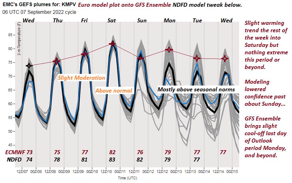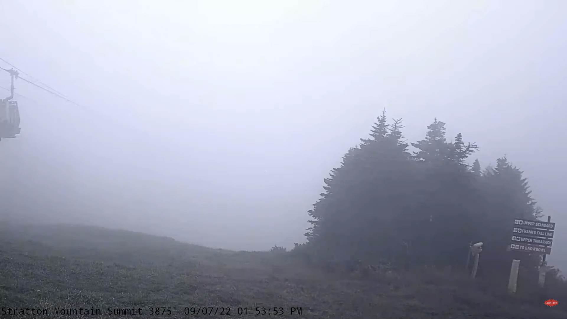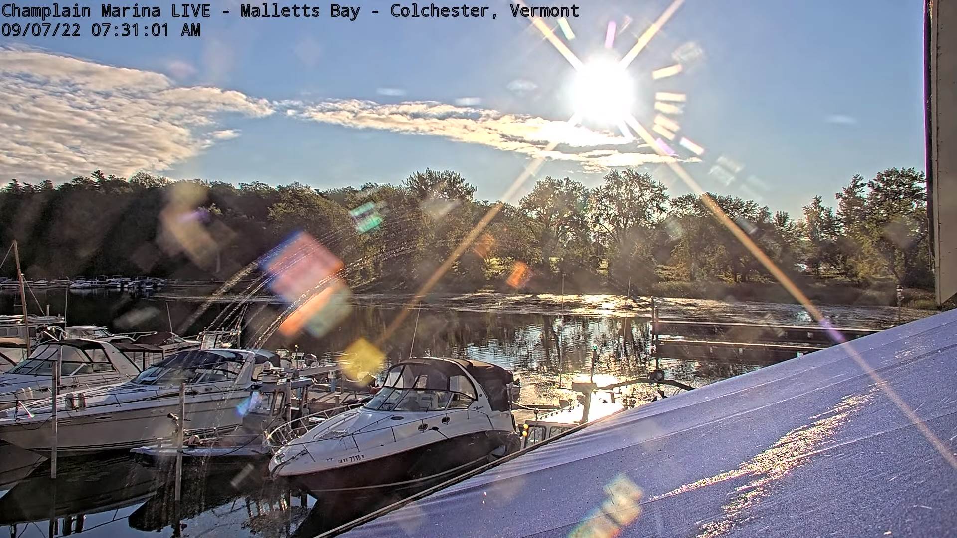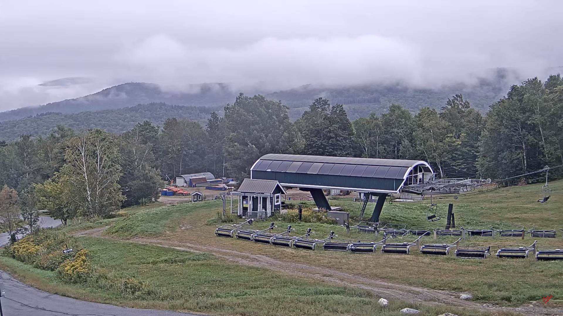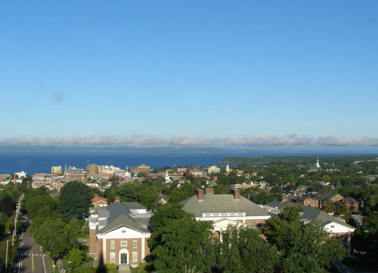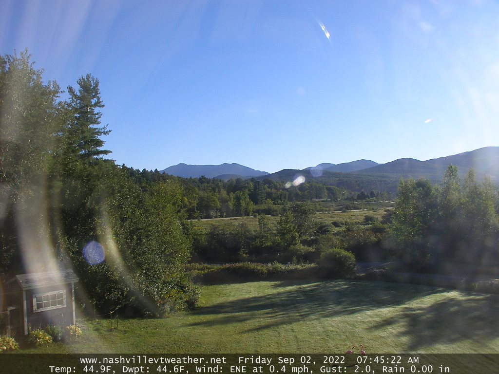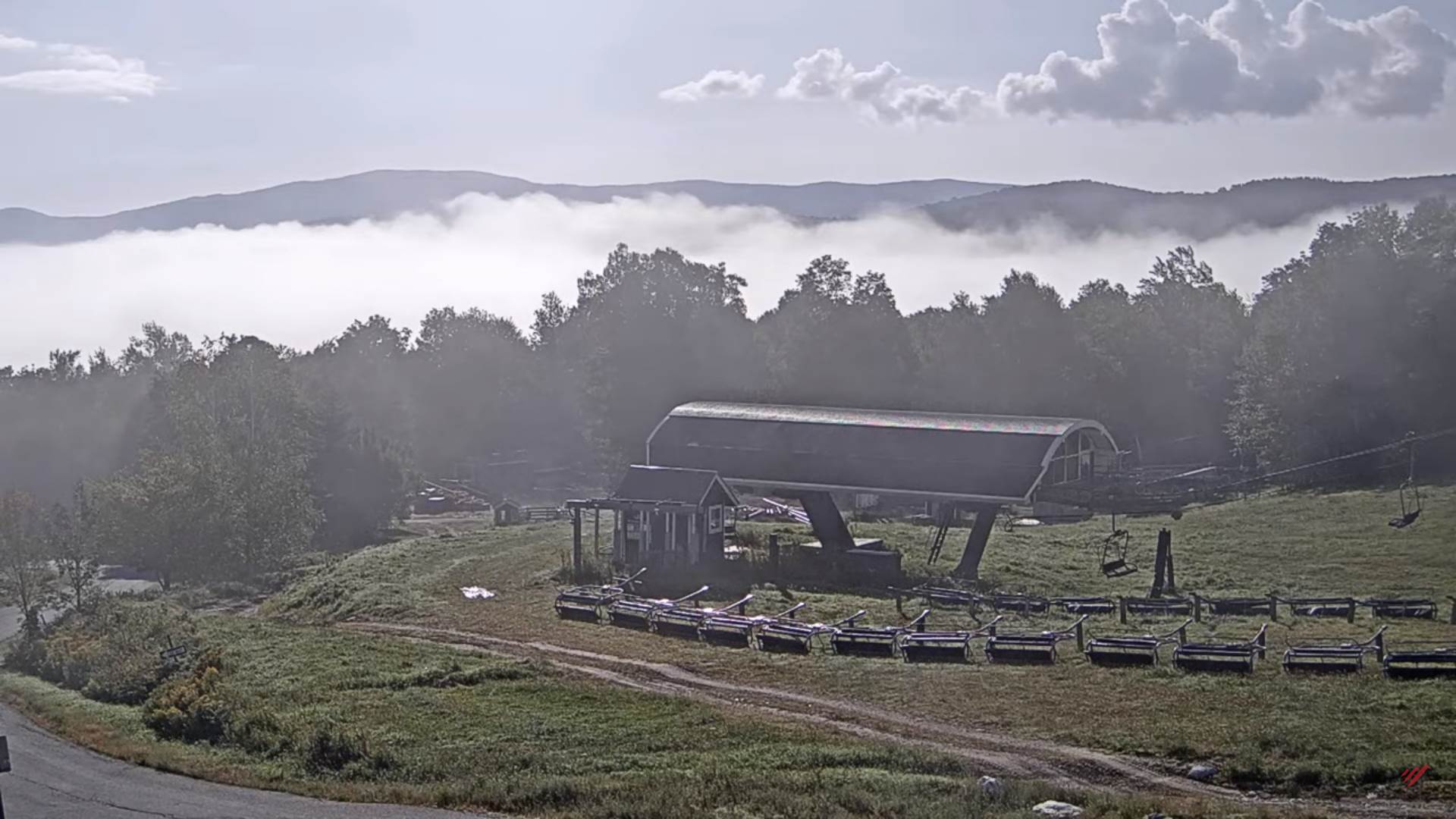
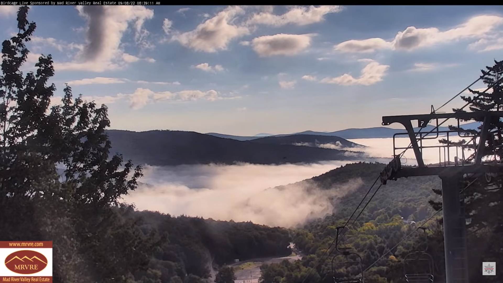
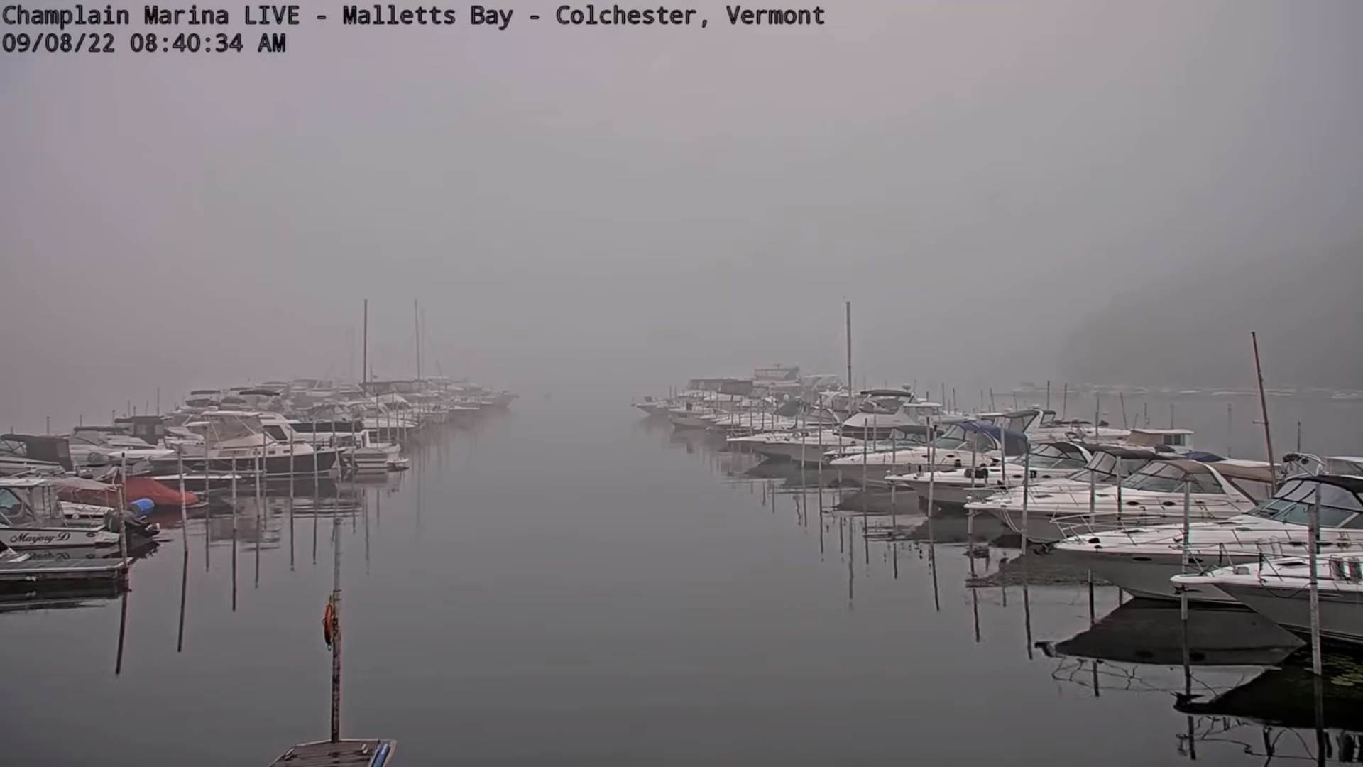
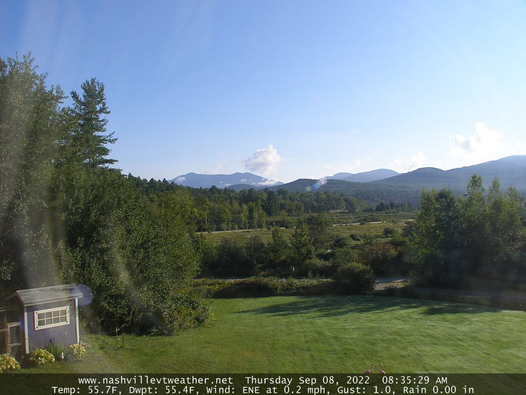
TODAY: Morning fog then lots of sunshine mixed with some afternoon clouds. A high around 75. Little wind.
TONIGHT: Mostly clear. Considerable valley fog. A low 50 to 55. Little wind.
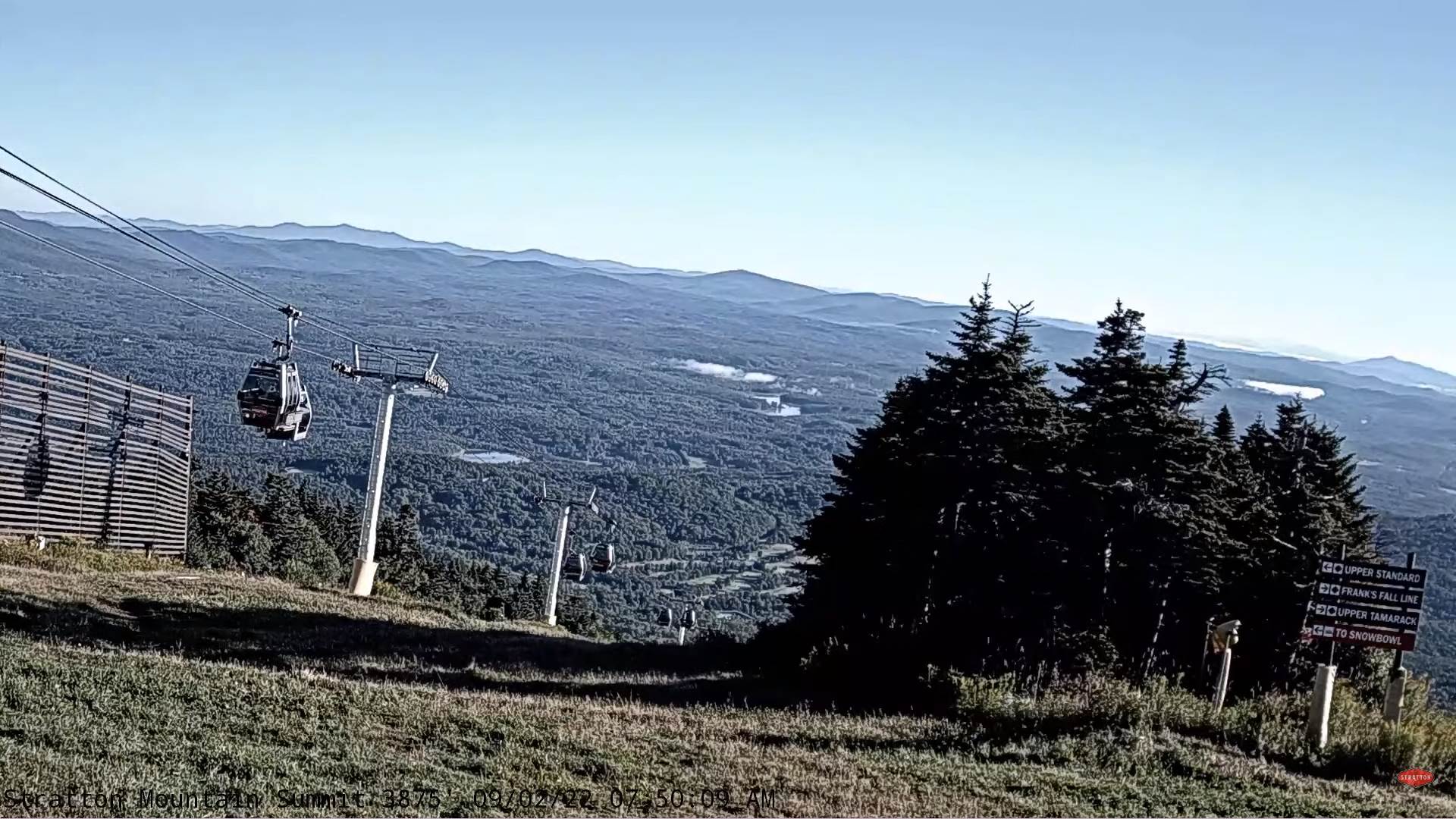
FRIDAY: Pick of the week. Mostly sunny after morning fog with some afternoon clouds. A high in the upper 70s around 80. Light variable winds.
Looking Further Ahead…

FRIDAY NIGHT: Clear skies. Patchy valley fog. A low in the mid-50s.
SATURDAY: Mostly sunny in the morning giving way to a few clouds in the afternoon. Slightly more humid. A high around 80.
SUNDAY: Sunshine filtered thru high cloudiness. A low in the upper 50s around 60. A little muggier. A high upper 70s to around 80.
MONDAY: Partly to mostly cloudy. Chance for a shower northern areas. A low upper 50s around 60. A high 75 to 80.
TUESDAY: Lots of clouds & humid and damp. Chance for rain or showers. A low around 60. A high upper 60s around 70.
Average lows upper 40s to mid-50s. Average highs 70 to 75
RH/9-8[forecast][end]