
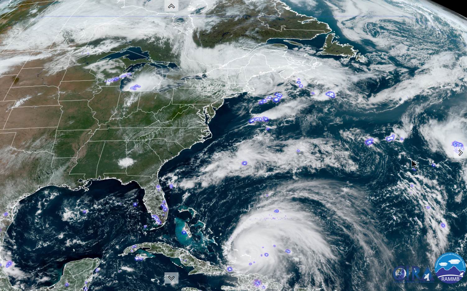
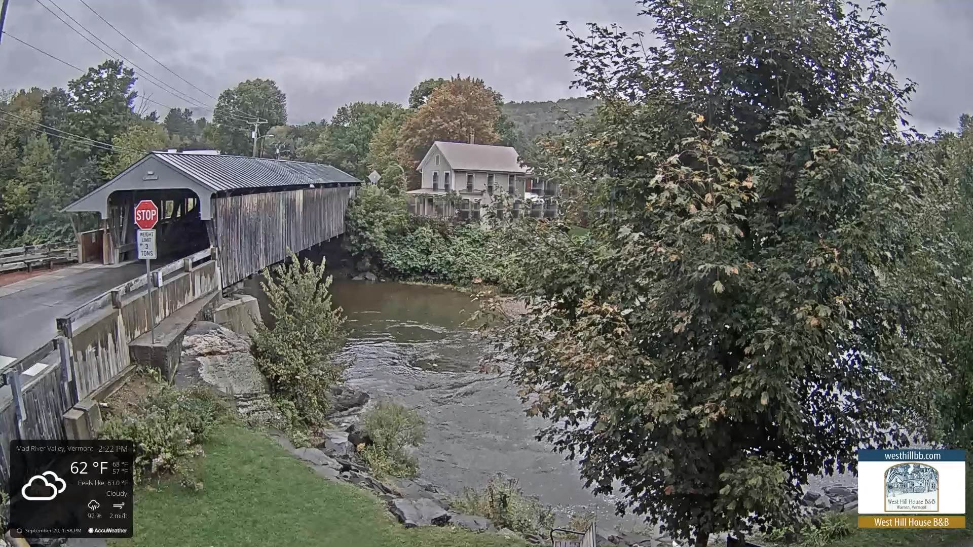
TONIGHT: Lots of clouds with a leftover shower or two early, then partly cloudy overnight with patchy valley fog. A low in the lower 50s. Light northwest winds.
TOMORROW: Pick of the week. Morning clouds, gives way to intervals of afternoon sun. Milder, a high around 70. Light southwest winds.
WEDNESDAY NIGHT: Clouding up, leading to a rising chance for showers and isolated thunderstorms overnight. A low 50 to 55. South breeze 10 mph.
THURSDAY: Showers…and heavy thunderstorms in the morning, gives way to partial late afternoon sunshine. A high in the mid 60s. Winds shifting to northwesterly 10 to 20 mph.
Looking Further Ahead…
THURSDAY NIGHT: Mostly cloudy. A low around 45.
FRIDAY: Partly to mostly cloudy, blustery and cooler. A few mountain sprinkles dry up, giving way to periods of afternoon sunshine. A high in the mid-50s. Gusty northwest winds.
SATURDAY: Partly to mostly sunny after morning valley fog. A low upper 30s near 40. A high 55 to 60.
SUNDAY: Areas of dense valley fog, then periods of sunshine mixed with high cloudiness. Chilly morning low upper 30s to around 40. A high in the mid-60s.
Average lows low to mid 40s. Average highs mid to upper 60s.
RH/9-20[forecast][end]
