Updated Wednesday Evening Forecast — November 16th, 2022

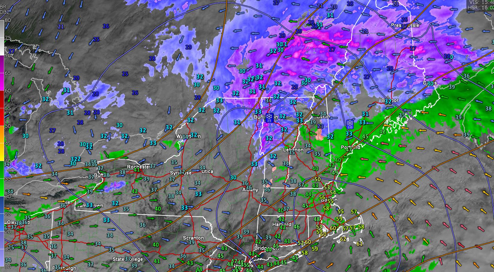
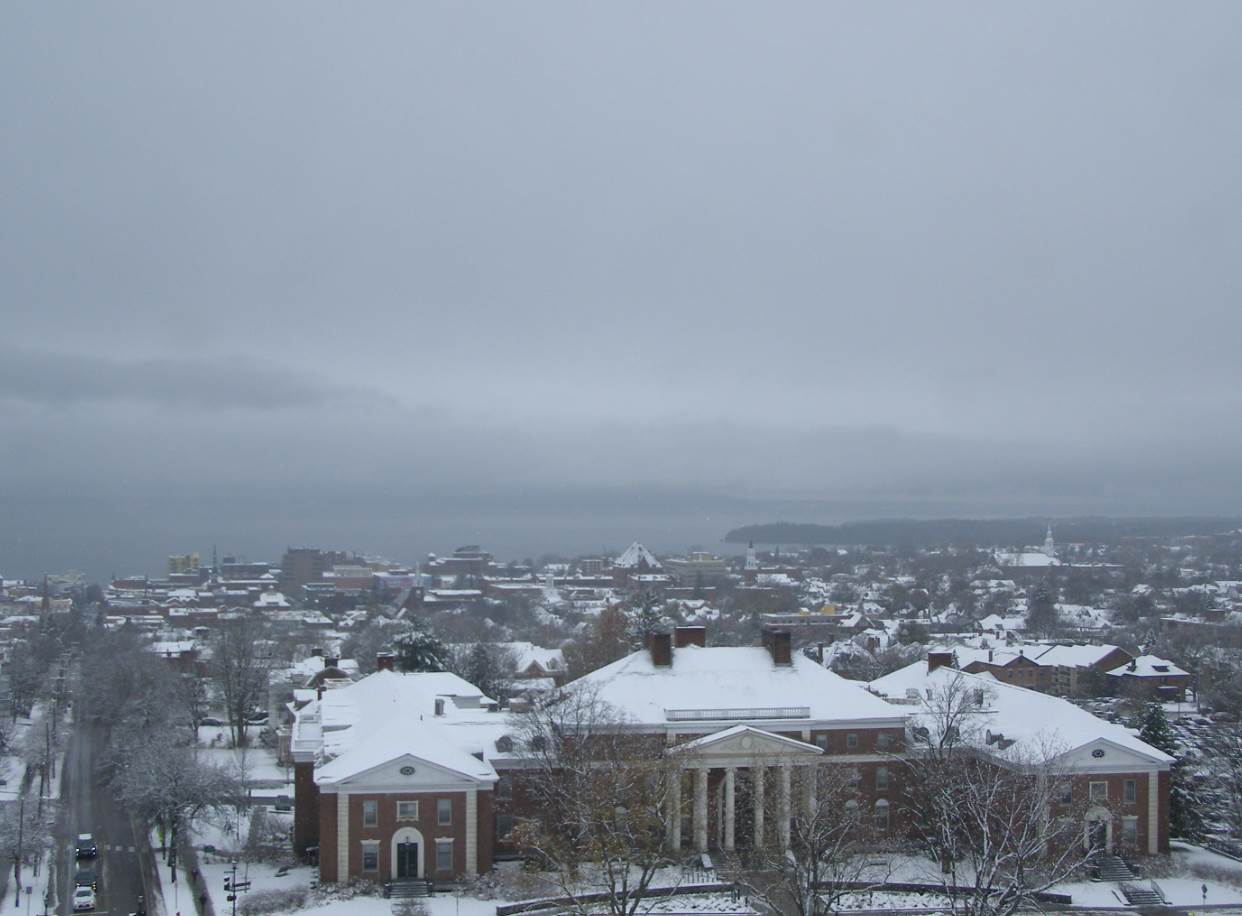
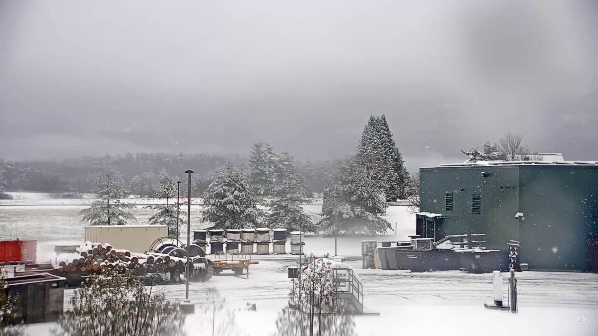
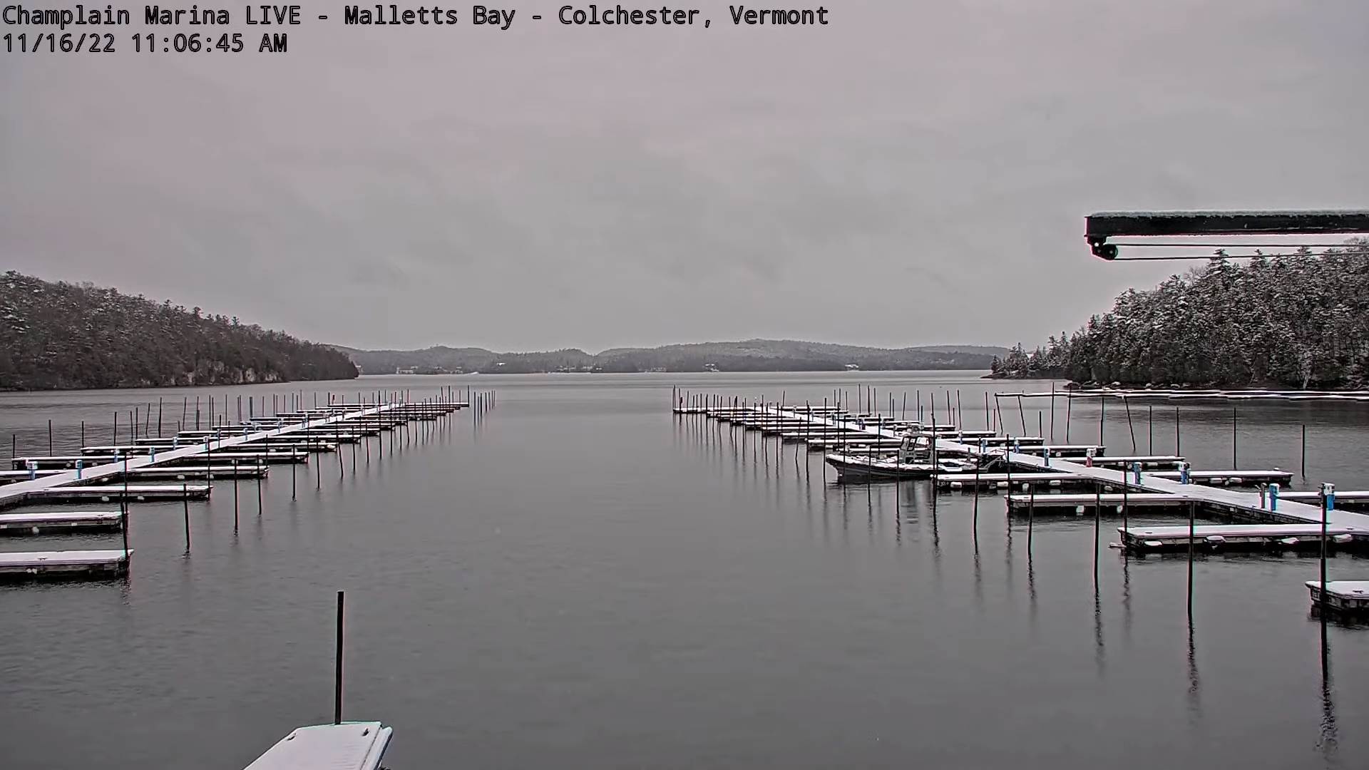
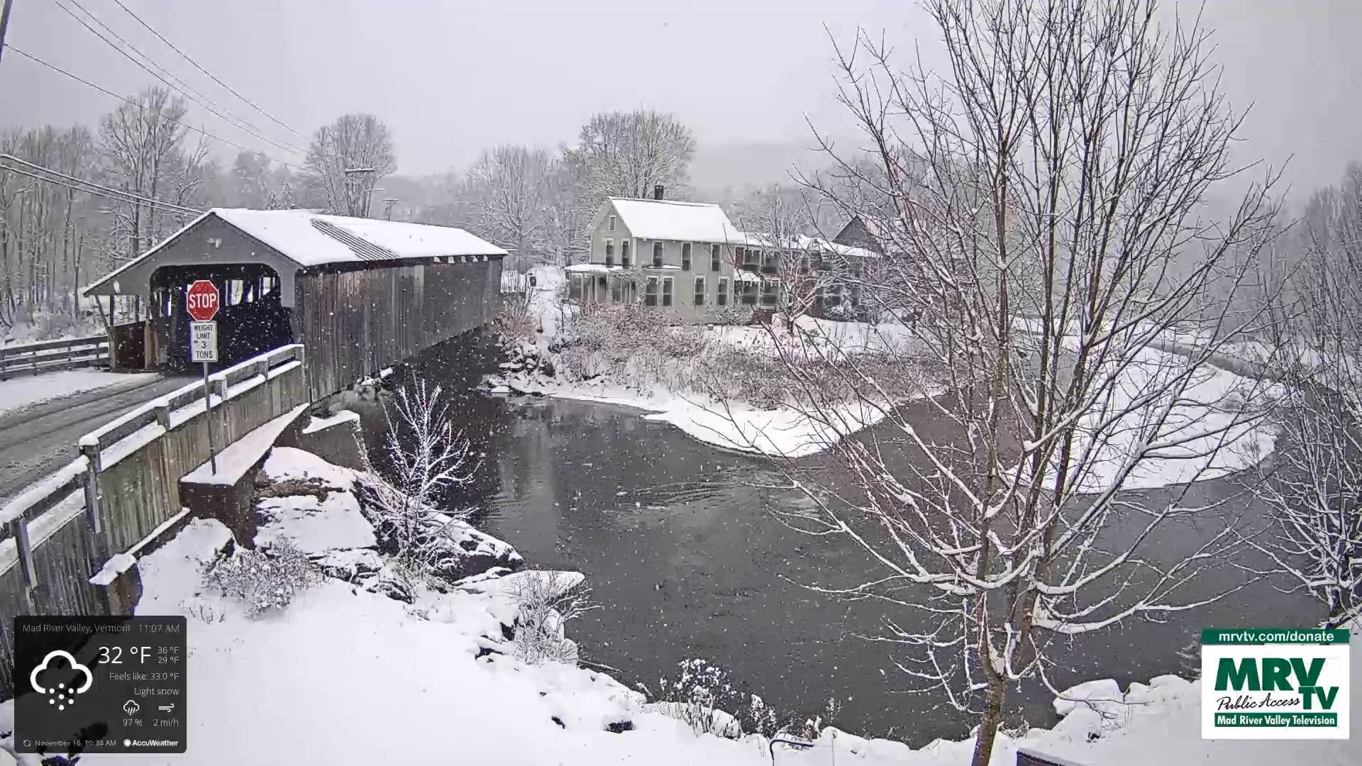
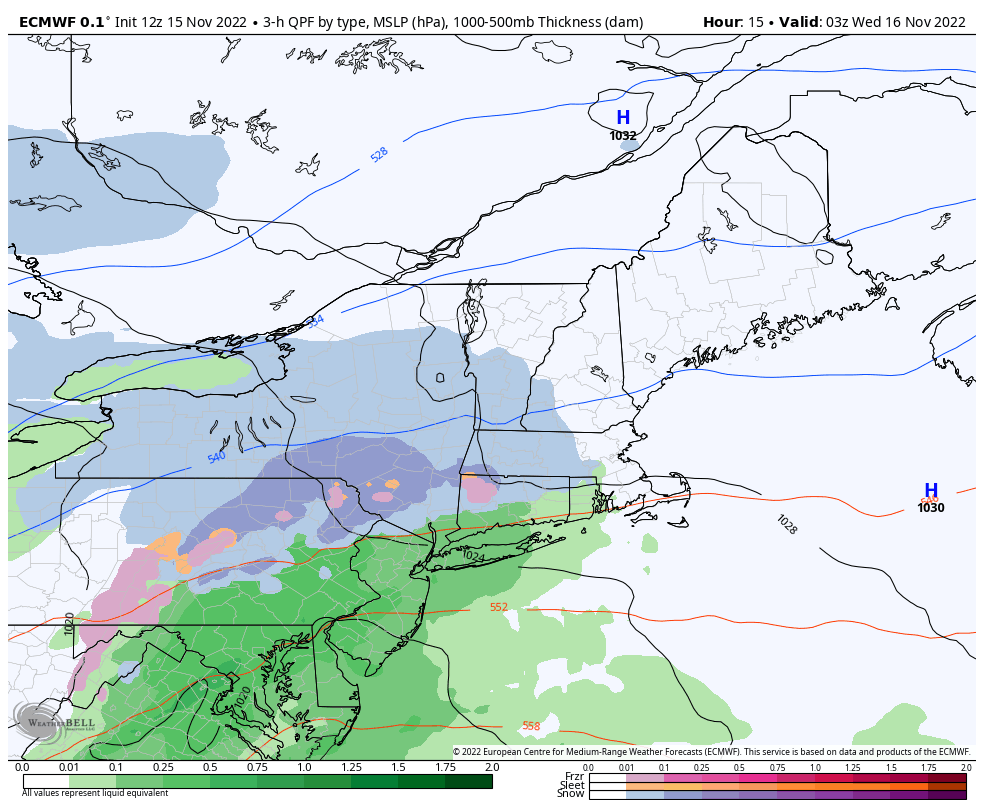
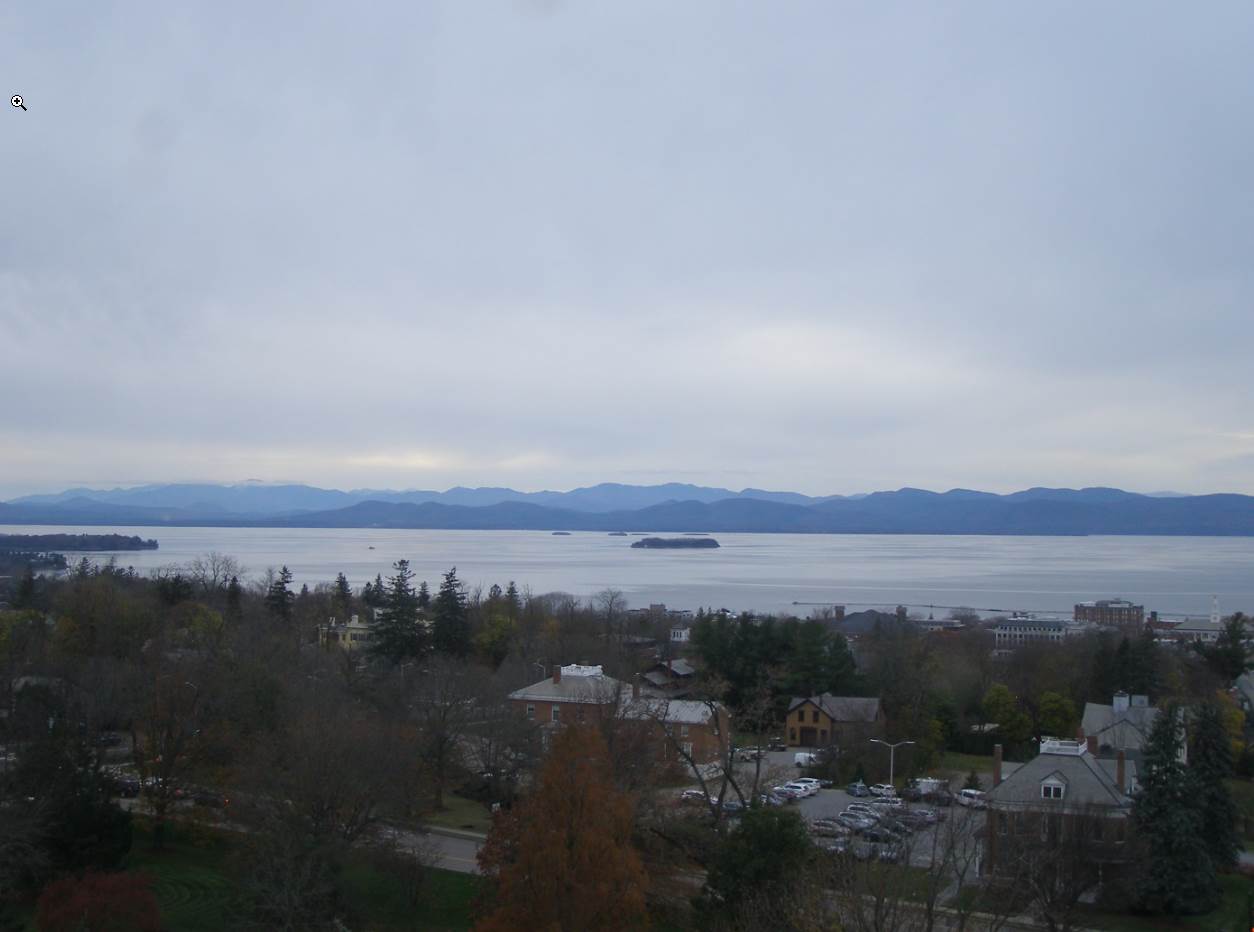
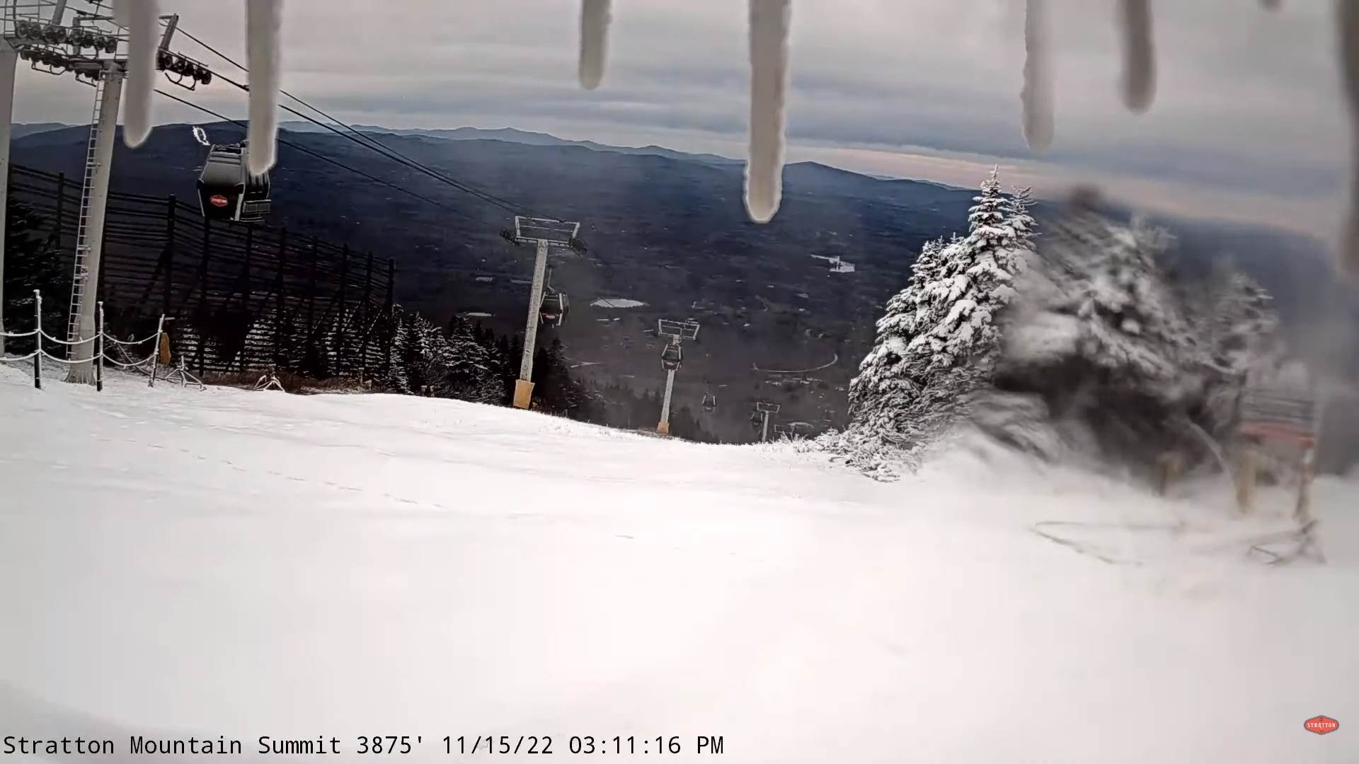
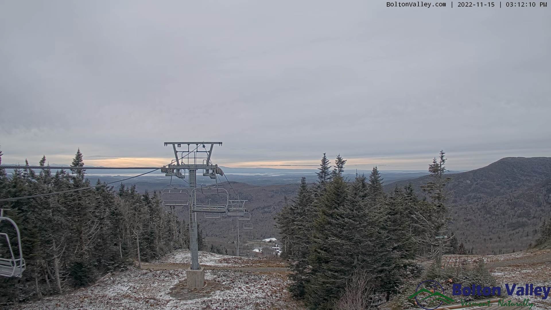
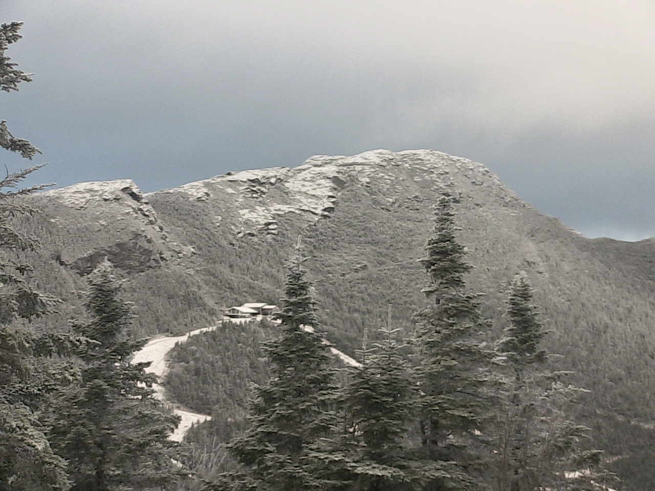
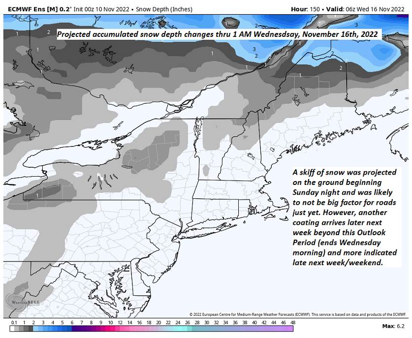
TONIGHT: Mostly cloudy. Northern Green Mountain snow showers with minor accumulation. A low mid to upper 20s. Light west winds.

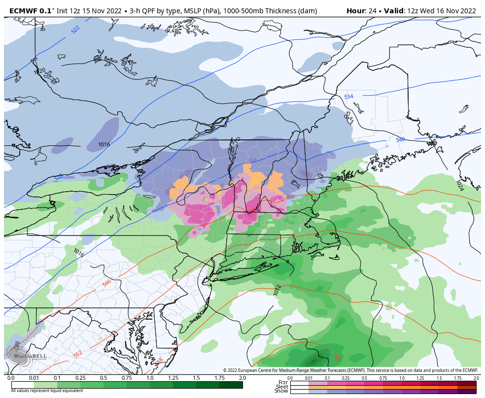
TOMORROW: Lots of clouds. Scattered snow showers & flurries with minor accumulation mainly in the mountains. A high 32 to 35. West breeze 10 to 20 mph and gusty.

THURSDAY NIGHT: Partly cloudy. An isolated flurry. Colder. A low in the low to mid-teens. Light southwest winds.

FRIDAY: More clouds than sun. Good chance for accumulating lake effect snow showers northern Green Mountains…dusting to 2 inches.A high around 35. Southwest breeze 10 to 15 mph.

Looking Further Ahead…

FRIDAY NIGHT: Becoming mostly clear. A low in the teens.

SATURDAY: Partly to mostly cloudy. Widely scattered flurries mainly northern mountains. A high near 32.

SUNDAY: Lots of clouds. Scattered snow showers with minor accumulation. A low in the mid-teens to near 20. A high mid to upper 20s.

MONDAY: Mixed sun and clouds. Chance for snow showers far northern areas.

Average lows 25 to 30. Average highs low to mid 40s.

RH/11-15forecast][end]

Updated Wednesday Morning Forecast — November 16th, 2022

Winter Weather Advisory expires later today…

THIS AFTERNOON: Gray. Wet…mostly light accumulating snow northwest of the Barre-Montpelier area tapering to flurries. A wintry mix southeastern two-thirds of the state changing back to flurries before exiting. A high about 35. Light variable winds.

TONIGHT: Mostly cloudy. Mountain flurries. A low mid to upper 20s. Light west winds.

TOMORROW: Considerable cloudiness. Scattered snow showers & flurries with minor accumulation in the mountains. A high 32 to 35. West breeze 10 to 15 mph.

Looking Further Ahead…

THURSDAY NIGHT: Partly to mostly cloudy. An isolated flurry or two. A low ranging thru mid and upper teens.

FRIDAY: Sunshine mixed with clouds. Chance for lake effect snow showers with some accumulation northern areas, otherwise more limited central and south. A high near 35.

SATURDAY: Partly to mostly cloudy. Widely scattered flurries mainly northern mountains. A low in the teens. A high near 32.

SUNDAY: Lots of clouds. Scattered mountain flurries. A low in the mid-teens to near 20. A high mid to upper 20s.

Average lows 25 to 30. Average highs low to mid 40s.

RH/11-15forecast][end]

Updated Tuesday Evening Forecast — November 15th, 2022

Winter Weather Advisory Midnight tonight thru 7 PM Wednesday…

TONIGHT: Cloudy, Accumulating snow develops around midnight, up to couple inches southern areas, less than an inch northern areas. A low 25 to 30. Light east winds.

TOMORROW: Gray. Accumulating wet snow & sleet moderate at times mixing with sleet and brief periods of rain in the afternoon central and southern areas. Total accumulation 2 to 6” with the most in northern mountains. A high 32 to 35. Light variable winds.

WEDNESDAY NIGHT: Scattered accumulating snow showers and flurries. Additional dusting to 2” western slopes & northern Green Mountains. A low mid to upper 20s. Light west winds.

THURSDAY: Considerable cloudiness. Scattered snow showers & flurries. A high 32 to 35. West breeze 10 to 15 mph.

Looking Further Ahead…

THURSDAY NIGHT: Mostly cloudy with an isolated flurry or two. A low ranging thru mid and upper teens.

FRIDAY: Sunshine mixed with clouds. Chance for lake effect snow showers limited accumulation. A high near 35.

SATURDAY: Partly to mostly cloudy. Widely scattered flurries mainly in the mountains. A low in the teens. A high near 32.

SUNDAY: Lots of clouds. Scattered mountain flurries. A low in the mid-teens to near 20. A high mid to upper 20s.

Average lows 25 to 30. Average highs low to mid 40s.

RH/11-15forecast][end]

Updated Tuesday Morning Forecast — November 15th, 2022

TODAY: Intervals of sun mixed with mainly high cloudiness. A high mid to upper 30s. Light northwest winds.

Winter Weather Advisory Midnight tonight thru 7 PM Wednesday…

TONIGHT: Clouding up, with a rising chance for light accumulating snow after midnight, up to couple inches southern areas. A low 25 to 30. Light east winds.

WEDNESDAY: Gray. Accumulating mostly wet snow, moderate at times mixing with sleet in the afternoon. Total accumulation 3 to 6”. A high in the mid-30s. Light east to northeast winds.

Looking Further Ahead…

WEDNESDAY NIGHT: Steady snowfall exits the Northeast Kingdom to scattered accumulating snow showers and flurries. Additional dusting to 2” western slopes & northern Green Mountains. A low in the upper 20s.

THURSDAY: Scattered snow showers & flurries. A high around 35.

FRIDAY: Sunshine mixed with clouds. Chance for lake effect snow showers limited accumulation. A low 15 to 20. A high near 35.

SATURDAY: Partly to mostly cloudy. Scattered flurries mainly in the mountains. A low 15 to 20. A high around 30.

Average lows 25 to 30. Average highs low to mid 40s.

RH/11-15forecast][end]

Updated Monday Evening Forecast — November 14th, 2022

TONIGHT: Mostly cloudy north, partly cloudy central and south. A low 20 to 25. Light northwest winds.

TOMORROW: Intervals of sun. A high mid to upper 30s. Light northwest winds.

TUESDAY NIGHT: Clouding up, with a rising chance for light accumulating snow after midnight, up to an inch southern areas. A low 25 to 30. Light east winds.

WEDNESDAY: Gray. Accumulating snow, possibly moderate to heavy at times mixing with some sleet. Several inches of wet slushy accumulation mountain summits, lesser amounts valley floors. A high 32 to 35. Light east to northeast winds.

Looking Further Ahead…

WEDNESDAY NIGHT: Steady snowfall exits the Northeast Kingdom to scattered accumulating snow showers and flurries. Additional dusting to 2” in the western slopes for the Green Mountains. A low in the upper 20s.

THURSDAY: Scattered snow showers & flurries. A high around 35.

FRIDAY: Sunshine mixed with clouds. Chance for lake effect snow showers limited accumulation. A low ranging mid-teens to lower 20s. A high 32 to 35.

SATURDAY: Partly to mostly cloudy. Scattered flurries mainly in the mountains.

Average lows 25 to 30. Average highs low to mid 40s.

RH/11-14forecast][end]

Updated Monday Morning Forecast — November 14th, 2022

TODAY: More clouds than sun, with a few mountain snow flakes this morning. Blustery. A high around 35. Northwest winds 10 to occasionally 20 mph

TONIGHT: Mostly cloudy north, partly cloudy central and south. A low in the low to mid 20s. Light northwest winds.

TUESDAY: Mixed clouds and intervals of sun. A high 35 to 40. Light northwest winds.

Looking Further Ahead…

TUESDAY NIGHT: Partly cloudy early, clouding up later overnight. A low mid to upper 20s.

WEDNESDAY: Gray. A rising chance for accumulating snow, possibly moderate to heavy at times…several inches of wet slushy early season accumulation above 1500-2000 ft., with 1 to locally 4” valley floors. Snow may mix with sleet at times especially southern areas. A high 32 to 35.

THURSDAY: Scattered snow showers & flurries. A low in the upper 20s. A high around 35.

FRIDAY: Sunshine mixed with clouds. Chance for lake effect snow showers limited accumulation. A low ranging mid-teens to lower 20s. A high 32 to 35.

Average lows 25 to 30. Average highs low to mid 40s.

RH/11-14forecast][end]

Updated Friday Evening Forecast — November 11th, 2022

TONIGHT: Rain, becoming moderate to heavy at times this evening with a rumble of thunder. Isolated sprinkles overnight. An early low upper 40s…milder overnight. South to southeast winds 10 to 15 mph.

TOMORROW: An early round of showers likely, moderate to heavy at times in the morning. Showers exit before Noon to intervals of sun and isolated mountain sprinkles. An early high around 60…falling thru the 50s in the afternoon. Winds become northwest 10 to 20 mph and gusty in the afternoon.

SATURDAY NIGHT: Mostly cloudy. An isolated mountain sprinkle or wet snowflake. A low in the upper 30s. Light west winds.

SUNDAY: Considerable clouds & blustery. Scattered rain showers developing in the afternoon…mixing with wet snow especially Northeast Kingdom later on. A high around 45. Light northwest winds.

Looking Further Ahead…

SUNDAY NIGHT: Chance for a few evening snow showers Northeast Kingdom with a skiff of accumulations possible. A low around 25.

MONDAY: Mixed clouds and sun. Blustery & colder. A high 35 to 40.

TUESDAY: Morning sunshine gives way to increasing afternoon clouds. A low in the mid-20s. A high in the mid to upper 30s.

WEDNESDAY: Cloudy. Potential for accumulating snow or snow showers. Trace to 2” coating down to valley floors. A low in the mid-20s. A high in the upper 30s to near 40.

Average lows mid-20s to low 30s. Average highs 45 to 50.

RH/11-11forecast][end]

Updated Friday Morning Forecast — November 11th, 2022

TODAY: Filtered sun early, then increasing clouds. Rain likely late today before dark. A high around 65. South breeze 10 to 15 mph.

TONIGHT: Overcast and breezy at times. Rain likely, moderate to heavy at times this evening tapering to isolated sprinkles overnight, before another round of moderate to heavy showers about daybreak. Rumbles of thunder western and southern areas early. An early low upper 40s…milder overnight. South to southeast winds 10 mph.

SATURDAY: An early round of showers likely, moderate to heavy at times in the morning. Showers exit before Noon to intervals of sun. An early high 60 to 65, falling thru the 50s in the afternoon. Northwest winds picking up 10 to 15 mph gusty in the afternoon.

Looking Further Ahead…

SATURDAY NIGHT: Mostly cloudy. An isolated mountain sprinkle or wet snowflake. A low in the upper 30s.

SUNDAY: Considerable clouds & blustery. Widely scattered rain showers mixed with a few wet snowflakes later on. A high around 45.

MONDAY: Mixed clouds and sun. Blustery & colder. A low around 25. A high 35 to 40.

TUESDAY: Morning sunshine gives way to increasing afternoon clouds. A low in the mid-20s. A high in the mid to upper 30s.

WEDNESDAY: Cloudy. Potential for accumulating snow or snow showers. Trace to 2” coating down to valley floors. A low in the mid-20s. A high in the upper 30s to near 40.

Average lows mid-20s to low 30s. Average highs 45 to 50.

RH/11-11forecast][end]

Updated Thursday Evening Forecast — November 10th, 2022

TONIGHT: Fair with periods of high clouds. A low around 45. Southwest breeze 10 mph stronger toward Lake Champlain.

TOMORROW: Filtered sun early, then increasing clouds. Rising chance for rain arriving late before dark. A high near 65. South breeze 10 to 15 mph.

FRIDAY NIGHT: Overcast and breezy at times. Chance for rain, possibly moderate to heavy at times in the evening tapering to isolated sprinkles overnight, before another round of moderate to heavy showers about daybreak. Rumbles of thunder western and southern areas early. An early low upper 40s…milder overnight. South to southeast winds 10 mph.

SATURDAY: An early round of showers exiting to intervals of sun, chance for leftover isolated mountain sprinkles. An early high in the low 60s, cooler in the afternoon. Northwest winds picking up 10 to 15 mph gusty in the afternoon.

Looking Further Ahead…

SATURDAY NIGHT: Mostly cloudy. Slight chance for a sprinkle western areas. A low 35 to 40

SUNDAY: Partly to mostly cloudy & blustery. Scattered rain and wet snow showers with trace accumulations higher terrain. A high around 45.

MONDAY: Mixed clouds and sun. Colder. A low around 25. A high 35 to 40.

TUESDAY: Partly to mostly sunny. A low in the mid-20s. A high in the mid to upper 30s. Potential accumulating snow or snow showers Tuesday night-Wednesday skiff on the ground.

Average lows mid-20s to low 30s. Average highs 45 to 50.

RH/11-10forecast][end]

Updated Thursday Morning Forecast — November 10th, 2022

TODAY: Sunshine with occasional clouds across northern areas. A high 60 to 65. Light southwest winds. Stronger & gusty Lake Champlain.

TONIGHT: Mostly clear, then increasing high cloudiness. A low around 45. Light southwest winds stronger toward the lake.

FRIDAY: Increasing clouds. Rising chance for rain arriving late. A high near 65. South breeze 10 to 15 mph.

Looking Further Ahead…

FRIDAY NIGHT: Overcast and breezy at times. Chance for rain, possibly moderate to heavy at times in the evening tapering to isolated sprinkles overnight, before another round of moderate to locally heavy showers around daybreak. An early low upper 40s…milder overnight.

SATURDAY: An early round of showers exits to intervals of sun, chance for a leftover brief shower. An early high in the low 60s, cooler in the afternoon.

SUNDAY: Partly to mostly cloudy & blustery. Scattered rain and wet snow showers with trace accumulations higher terrain. A low 35 to 40. A high around 45.

MONDAY: Mixed clouds and sun. Colder. A low around 25. A high 35 to 40.

TUESDAY: Partly to mostly sunny. A low in the mid-20s. A high in the mid to upper 30s. Potential accumulating snow or snow showers arrives toward Wednesday morning.

Average lows mid-20s to low 30s. Average highs 45 to 50.

RH/11-10forecast][end]