Roger Hill’s Radio Vermont Forecast 3:00 PM FRIDAY 10-17-25
TONIGHT: Mostly clear with some high clouds. A low upper 20s to low 30s. Little wind.
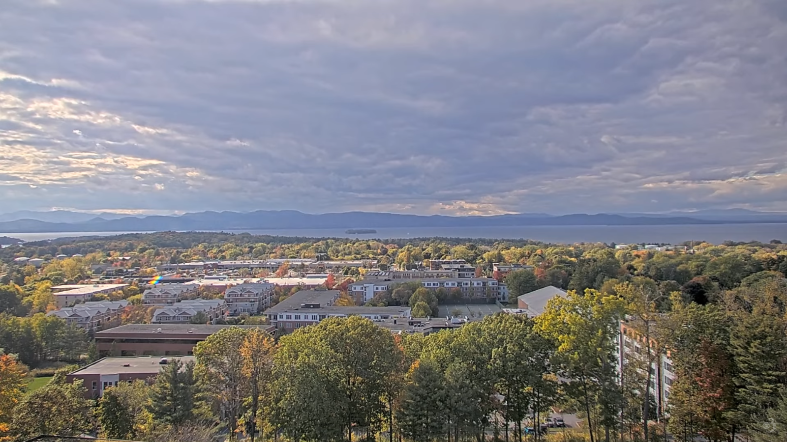
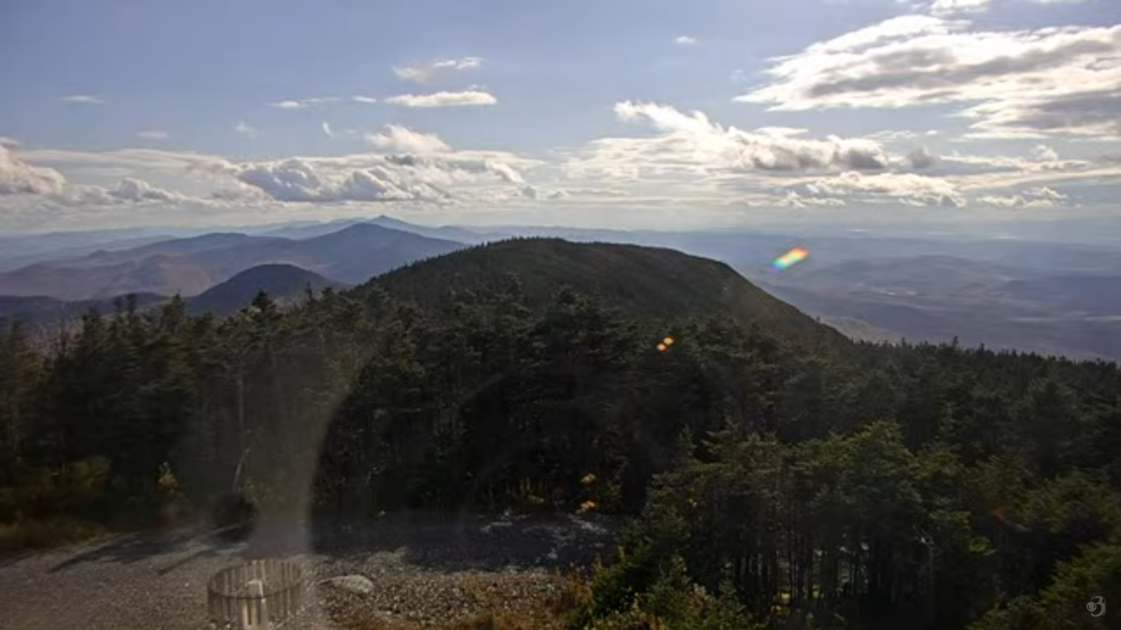
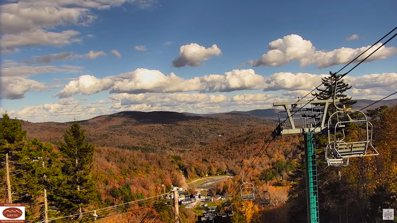
TOMORROW: Sunshine, becoming filtered through high clouds. Seasonable. A high around 60. Light south winds.

SATURDAY NIGHT: High and mid layer clouds. A low 40 to 45. Light northwest winds breezier near Lake Champlain.
SUNDAY: High overcast with dim sun at times. Breezier & milder with a high around 65. Southeast winds picks up 10 to 20 mph.
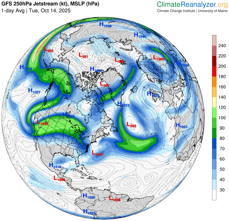
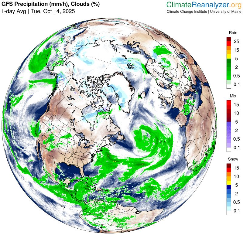
Looking further ahead

SUNDAY NIGHT: Thickening clouds. A low 50 to 55.
MONDAY: Mainly gray & wet. Good chance for showers or a period of rain…moderate at times with a potential for a good soaker! A high mid-50s.

TUESDAY: Clouds with a few breaks of sun. Lows 40 to 45. Highs upper 50s near 60.
WEDNESDAY: Cloudy. Chance for showers. Lows around 45. Highs in the 50s.
Average low: ranging thru the 30s Average highs: mid to upper 50s.

Potential wet snowflakes tail end of mid to late next week.
Eastern Standard Time (fall back) 2 AM Sun. November 2nd.
Meteorological winter begins December 12th

RH/10-15/forecast][end] Fox Trot Delta Tango