Roger Hill’s Radio Vermont Forecast 3:00 PM TUESDAY 12-2-25
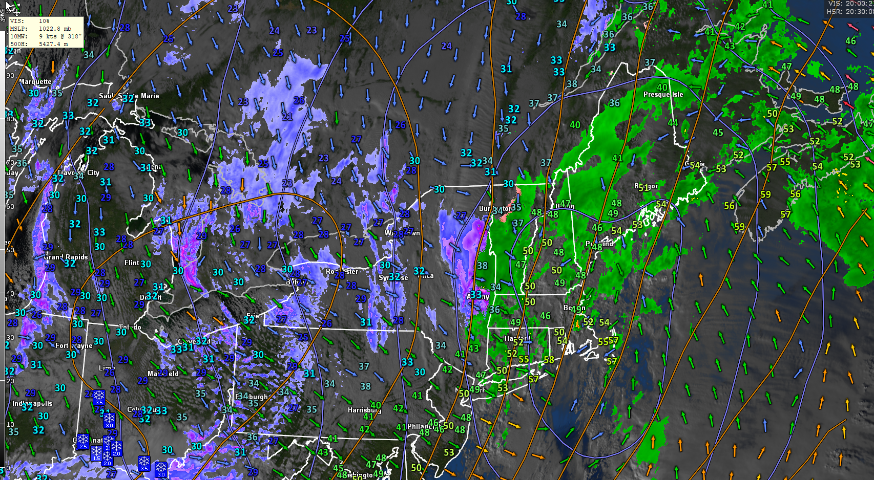
Winter Storm Warning Eastern Addison across the Orange County and south, Winter Weather Advisories mostly elsewhere thru 1 AM Wednesday…
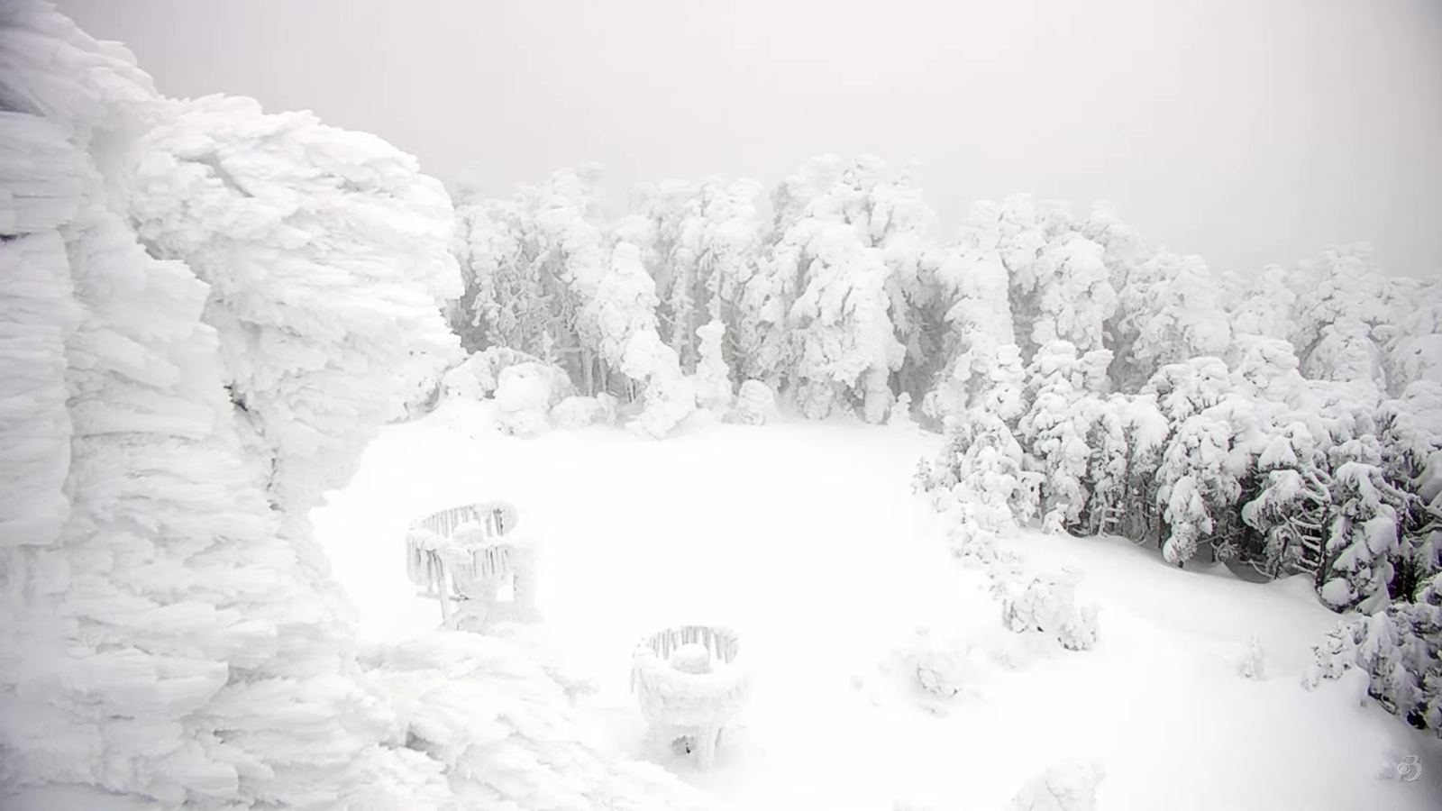
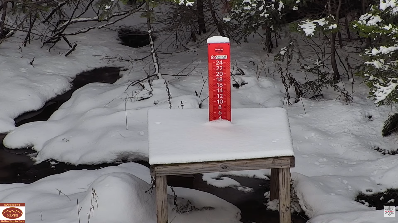
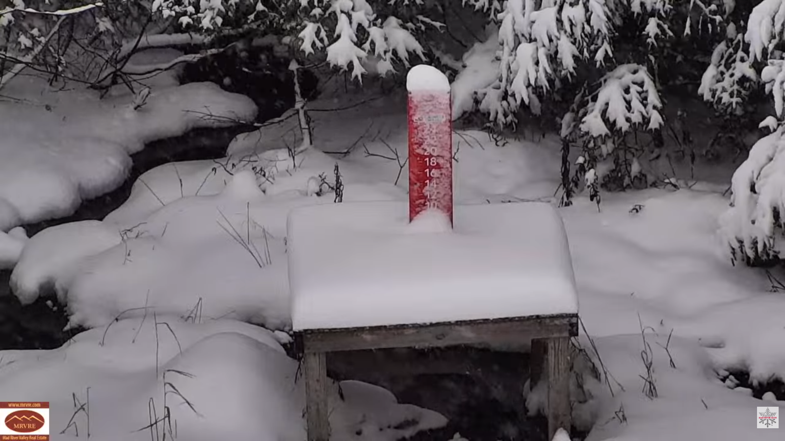
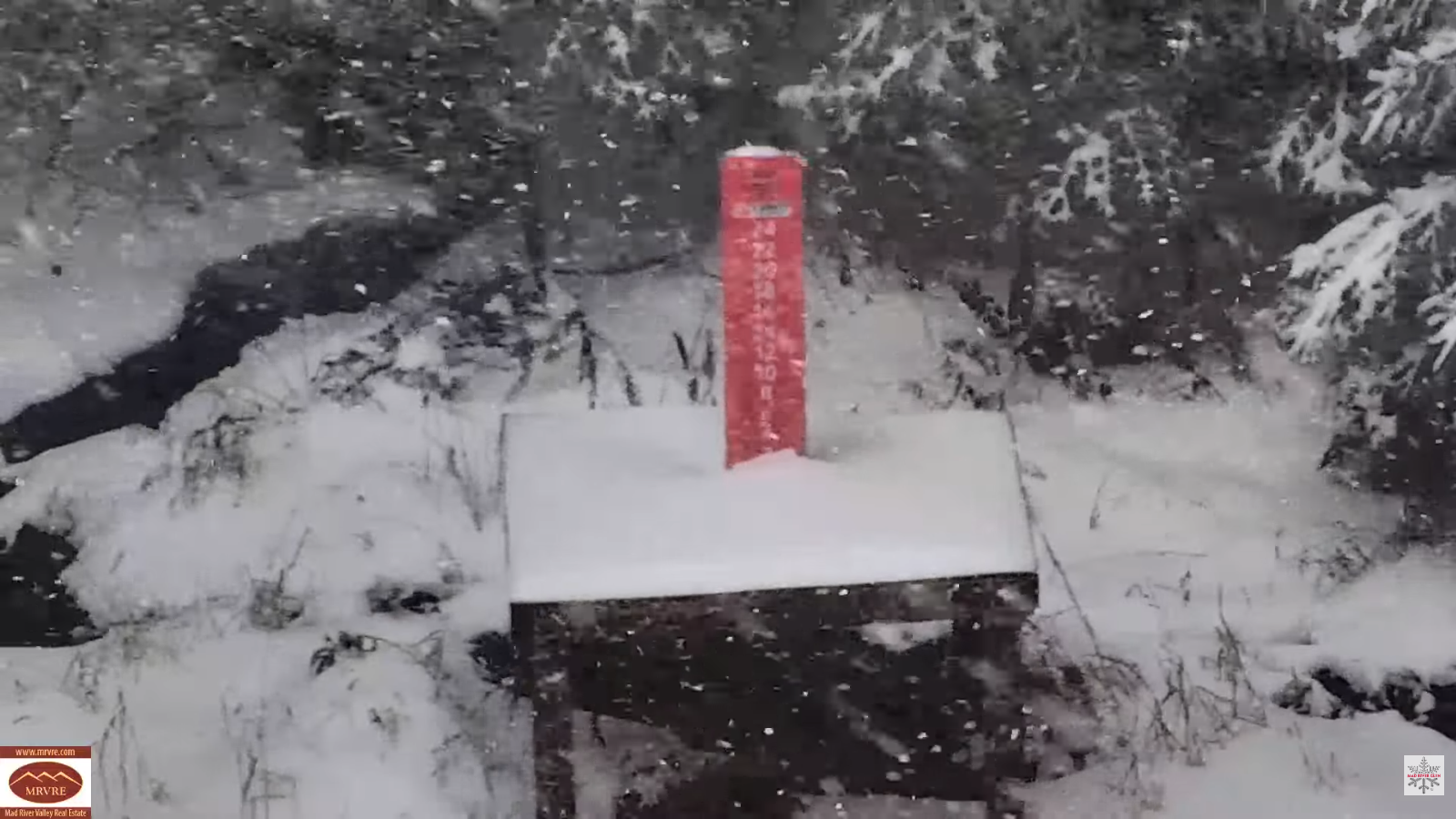
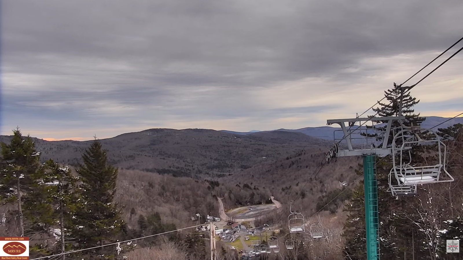
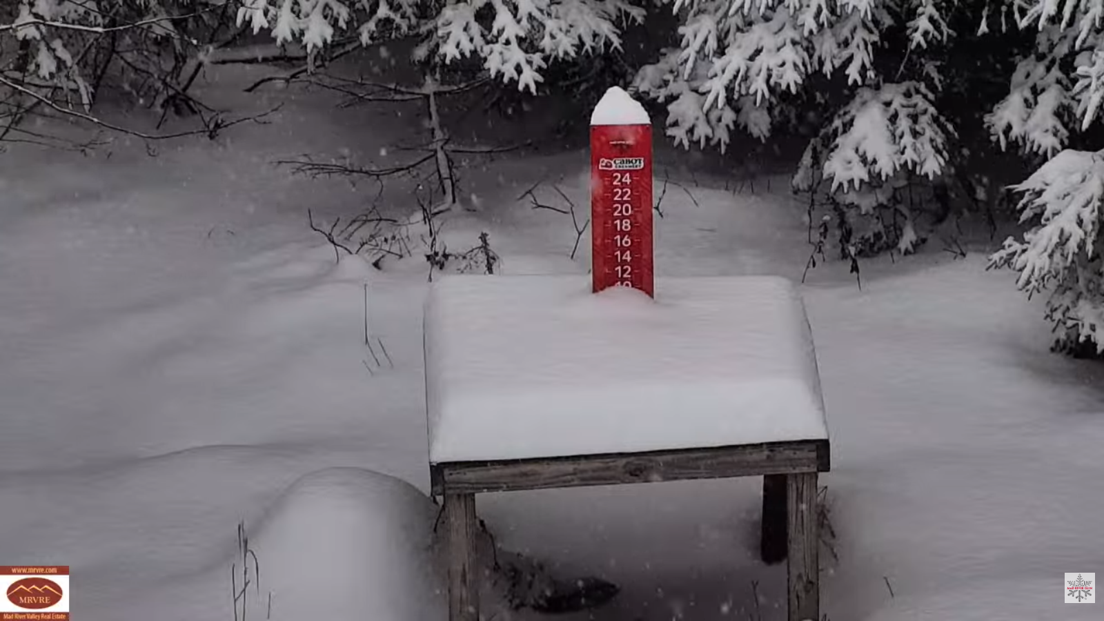
TONIGHT: Occasional light snow/snow showers tapers off from west to east late evening on with light coatings. A low around 15. North winds shifts to northwesterly 10 mph overnight.
TOMORROW: Lots of clouds, then partial sunshine in the afternoon. Highs mid to upper 20s. Little wind.
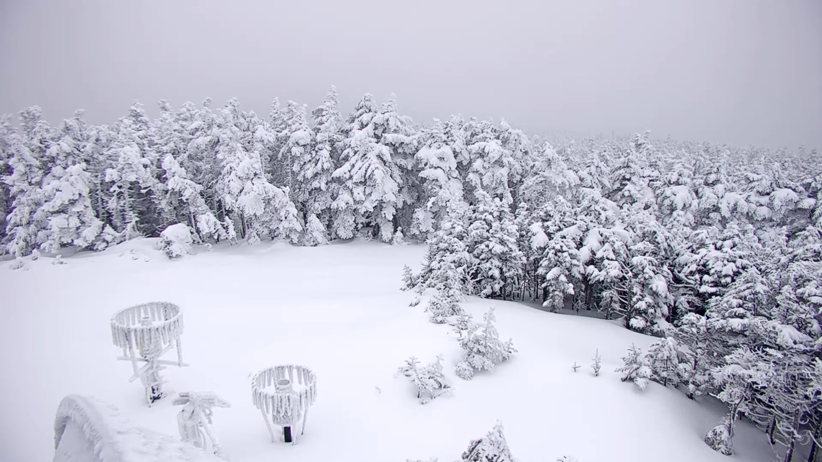
WEDNESDAY NIGHT: Thickening clouds. Scattered snow showers and flurries returns northern areas with a light coating in spots. A low 20 to 25. South to southwest winds 10 mph stronger near Lake Champlain.

THURSDAY: Scattered snow showers/flurries. Some light coatings. Otherwise,intervals of sun in the afternoon. A bit blustery. A morning high mid-20s, then temperatures falling into the teens. Southwest winds 10 to 15 mph shifting to northwesterly.
Looking further ahead
Full Cold Moon Dec. 4th 6:14 PM EST
THURSDAY NIGHT: Partly cloudy. Maybe an early stray flurry drying up. Frigid. A low zero to ten below.
FRIDAY: Partly to mostly sunny with high cloudiness in the afternoon. Frigid. Highs upper teens.
SATURDAY: More clouds than sun. Slight chance for a flurry. Lows in the single digits. Highs pushing 30.

SUNDAY: Chance for light snow showers or flurries far northern Vermont, with little accumulation. Periods of afternoon sun. Lows teens. Highs 20 to 25.
Average low: upper teens to mid-20s Average high: 35 to 40.
Admin: Time off (no forecast) Wednesday December 3rd.
Meteorological winter begins December 12th
RH/12-2-25/forecast][end] Fox Trot Delta Tango