
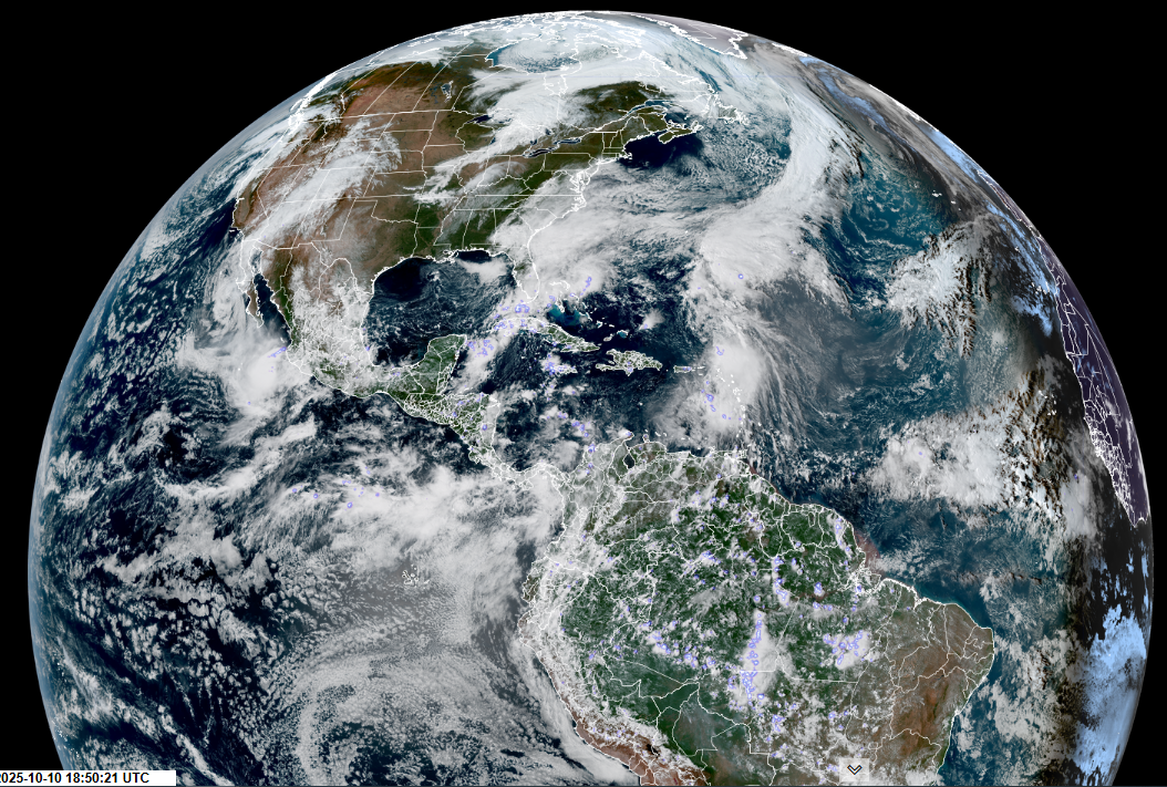
Roger Hill’s Radio Vermont Forecast 3:00 PM FRIDAY 10-10-25
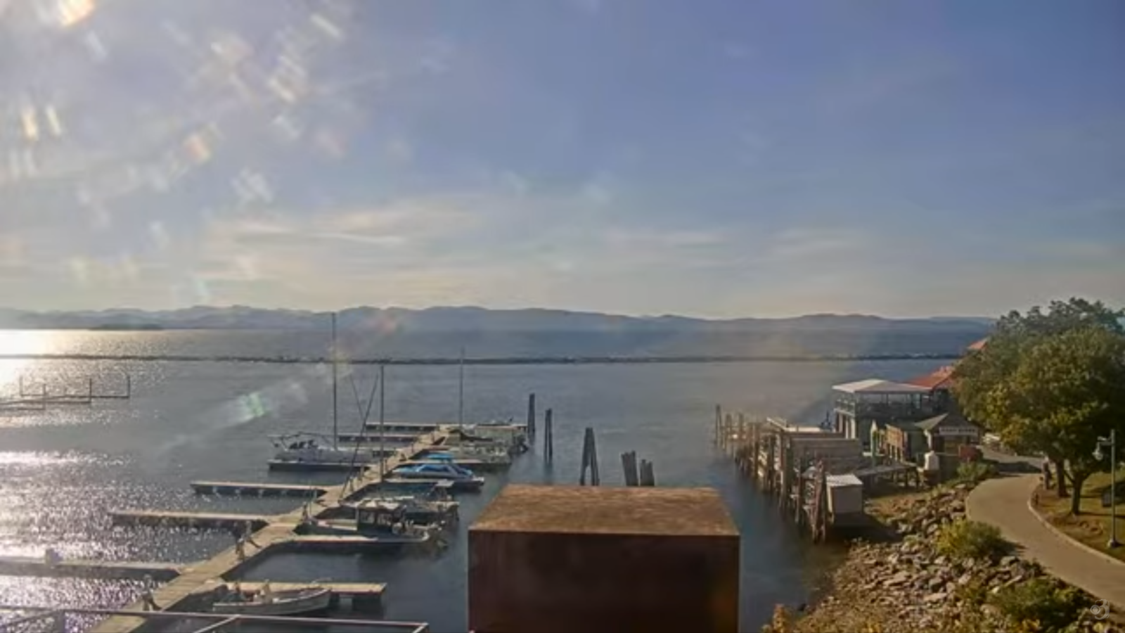
TONIGHT: Mostly clear with a few high clouds. A low about 32 to 35. Light south to southwest winds breezy near the lake.
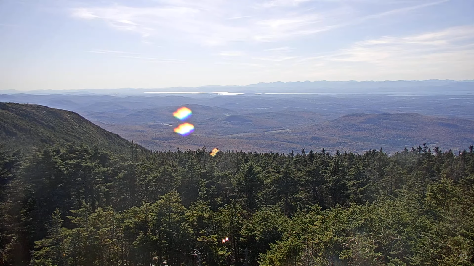
TOMORROW: Mostly sunny. A high in the lower 60s. Light south winds.
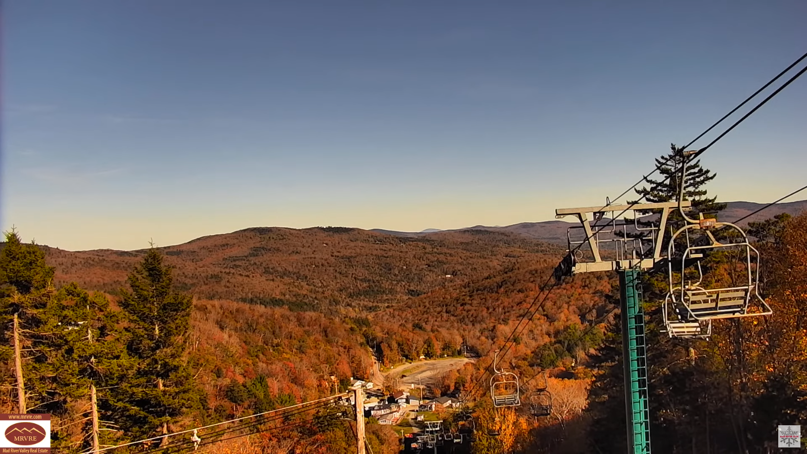
SATURDAY NIGHT: Clear with few more clouds overnight. A low in the mid-30s. Light southeast winds.
SUNDAY: Mostly cloudy. Highs in the low 60s. East winds 10 mph breezier to the south.
Looking further ahead
SUNDAY NIGHT: Considerable cloudiness. Rising chance for showers…especially southern areas. A high 40 to 45.
MONDAY: Mostly cloudy. Chance for showers…especially southern areas. Lows in the 40s. Highs around 60.
TUESDAY: Partly cloudy in the morning then lots of sunshine. Lows generally 40 to 45. Highs 60 to 65.
WEDNESDAY: Clouds mixing with sunny intervals. Lows 40 to 45. Rather chilly. Highs around 50.
Average low: 35 to 40 Average highs: around 60.

Eastern Standard Time (fall back) 2 AM Sun. November 2nd.
Meteorological winter begins December 12th
RH/10-10/forecast][end] Fox Trot Delta Tango
