Updated Wednesday Morning Forecast — February 8th, 2023

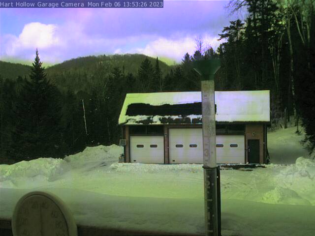
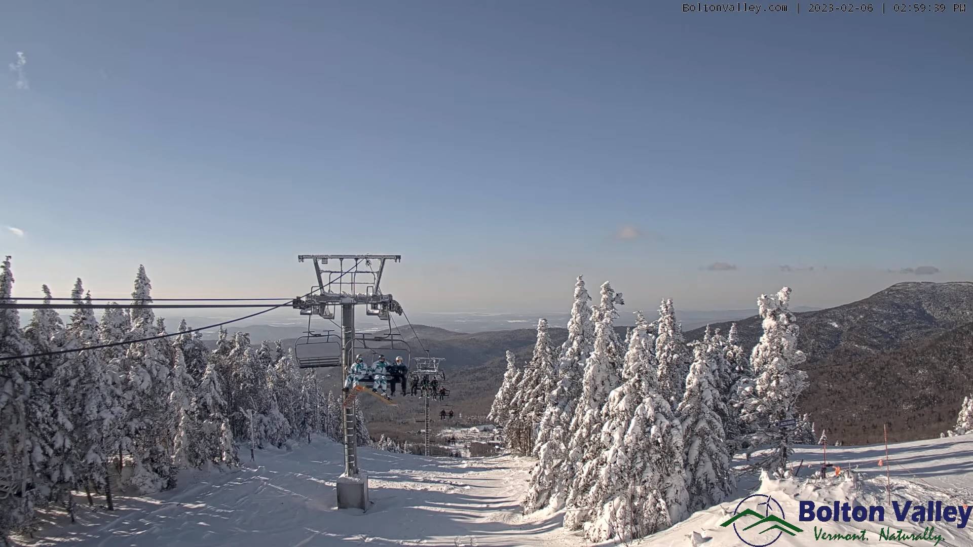
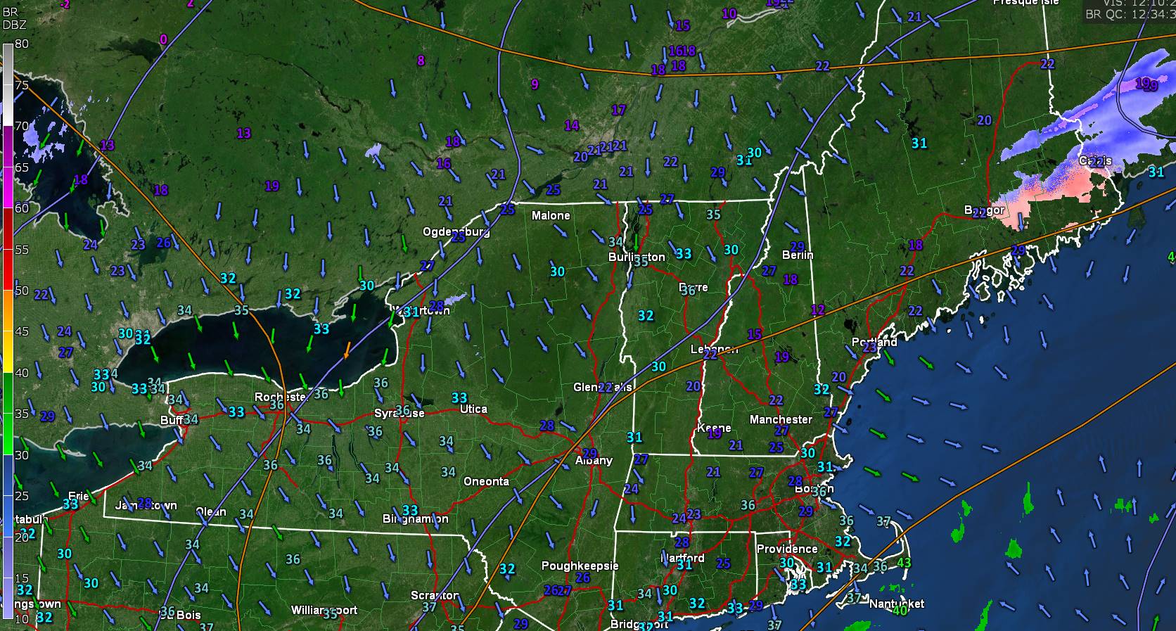
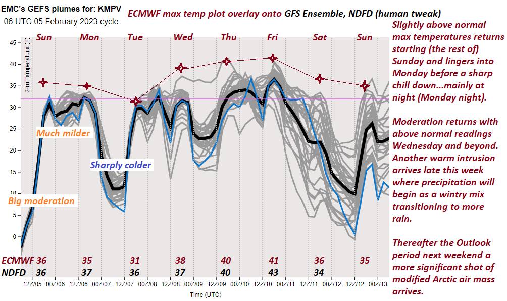
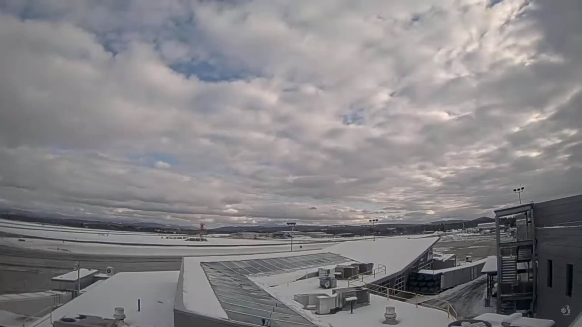
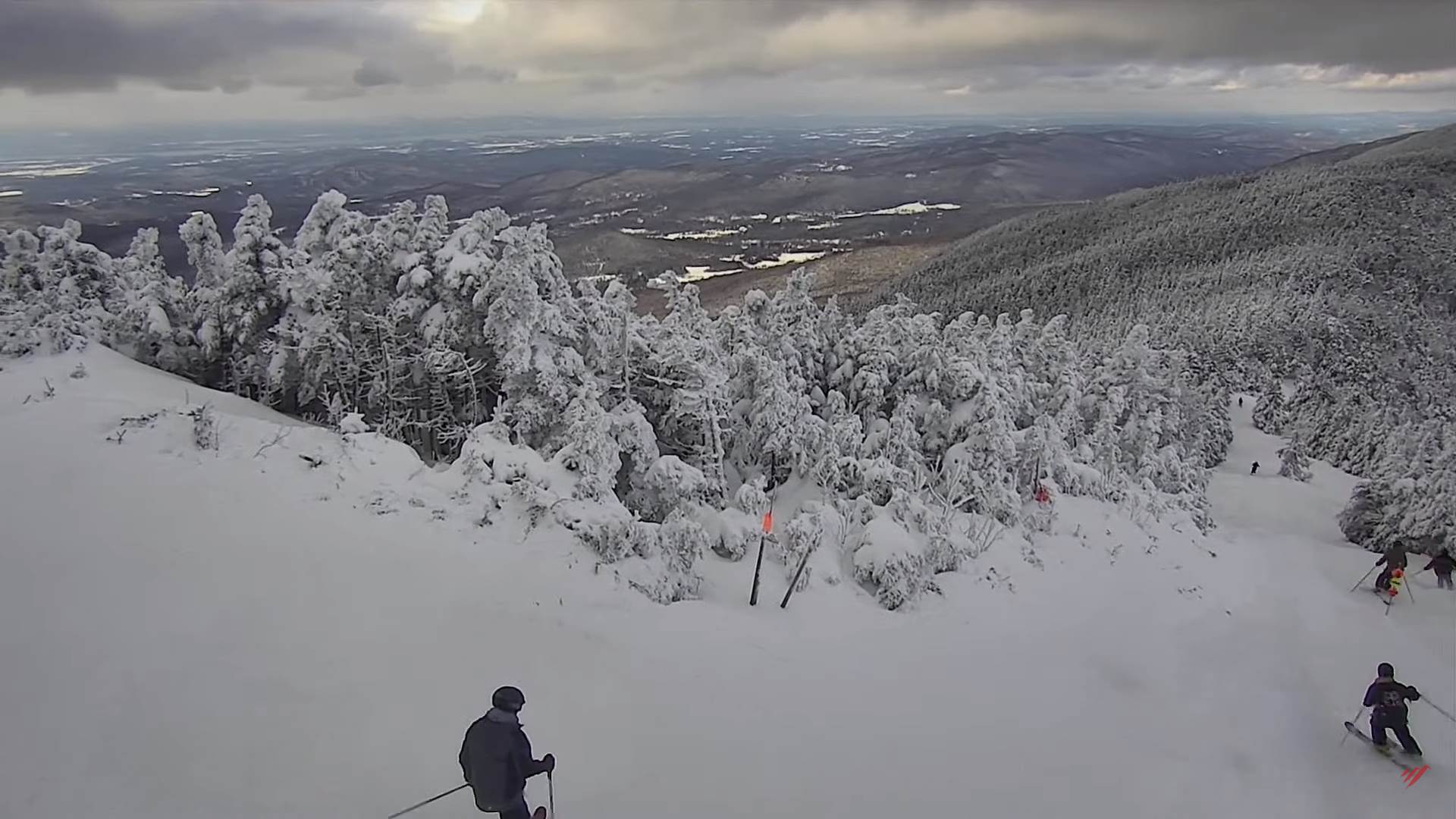
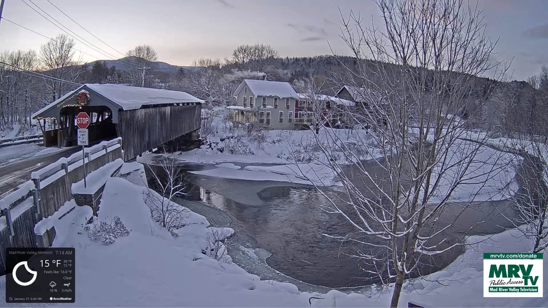
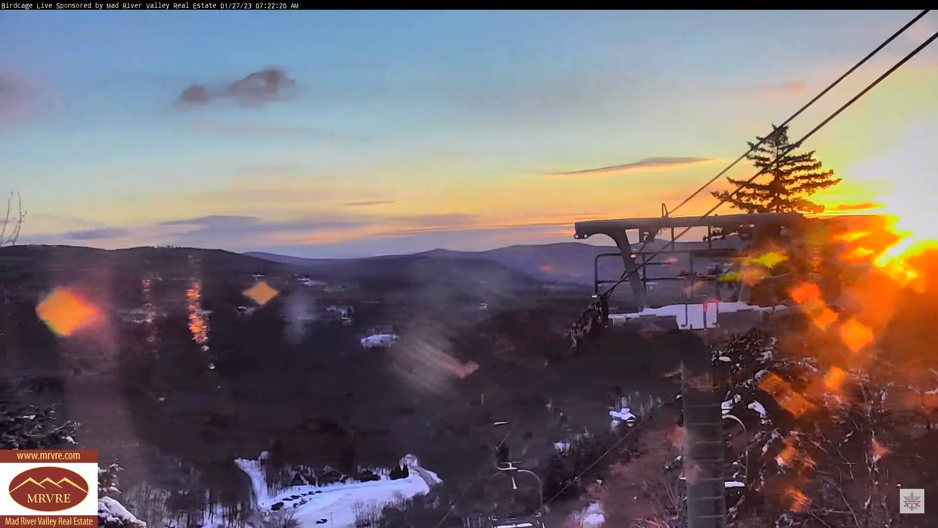
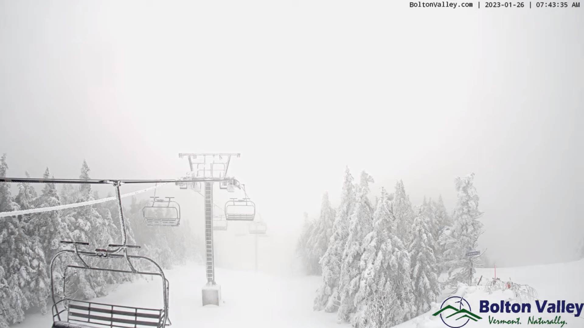
TODAY: Widely scattered morning flurries, followed by partial sunshine this afternoon. A high in the mid-30s. Wind becoming northwesterly 10 to 15 mph.

TONIGHT: Fair with increasing high cloudiness clouds. A low upper teens to low 20s. Southwest winds 10 mph.

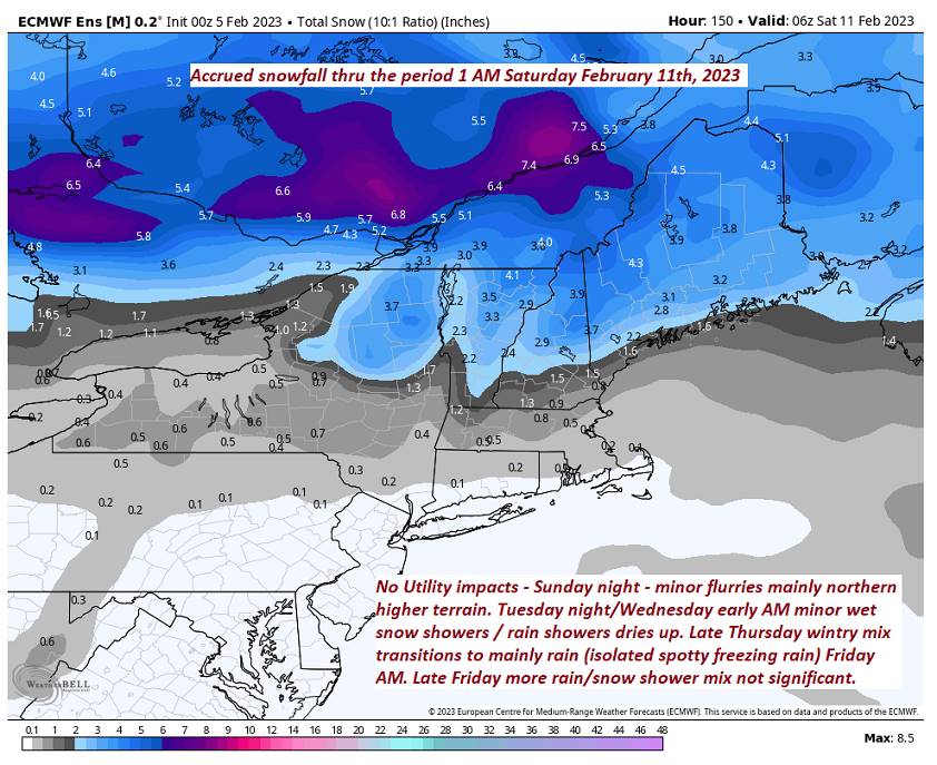
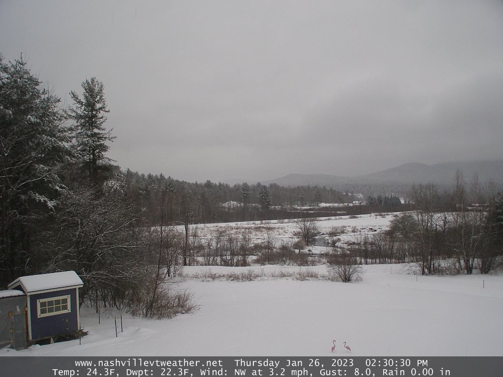
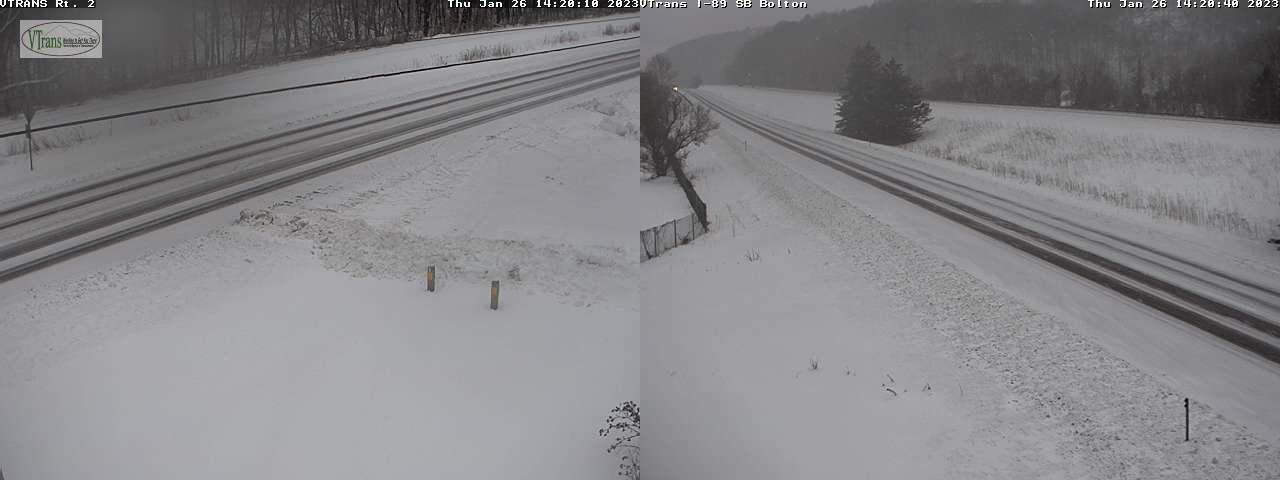
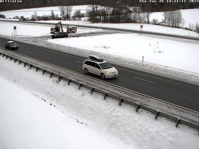
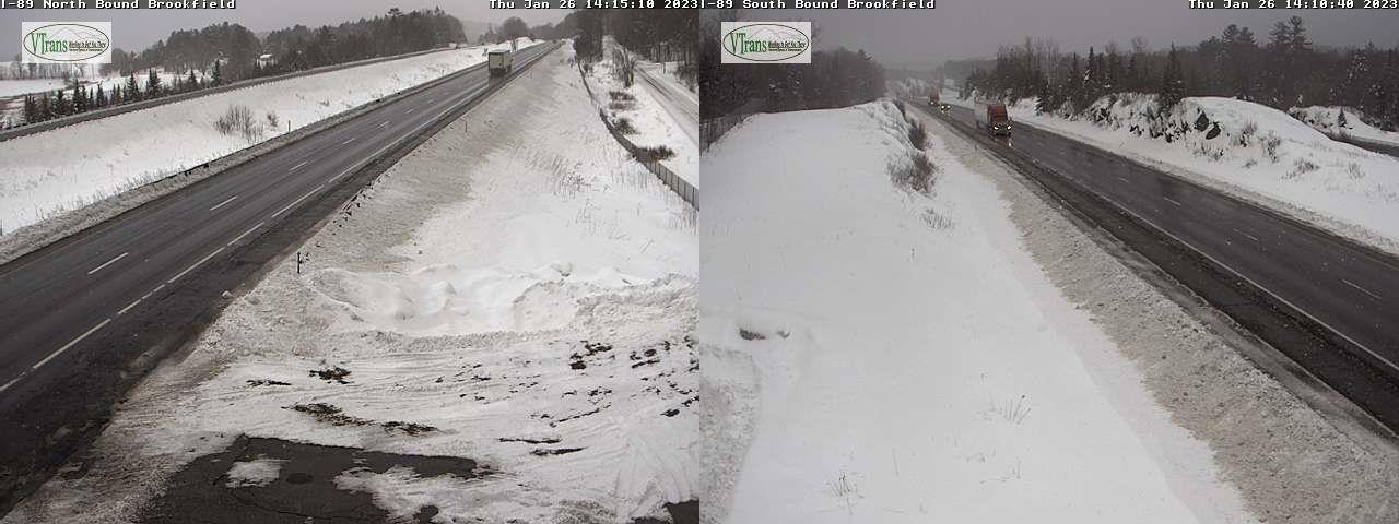
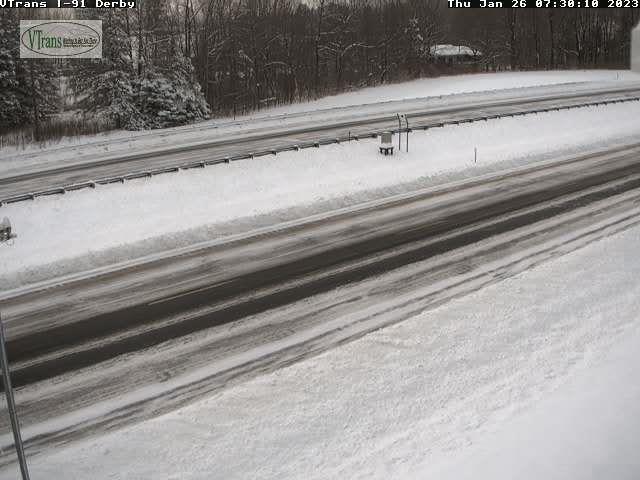
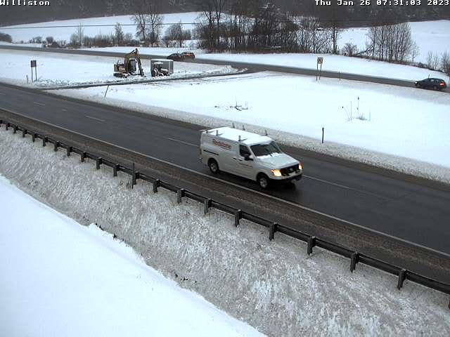
THURSDAY: Some brief early hints of sun, then cloudy. Accumulating wet snow developing late afternoon…a light coating in spot…transitioning to mixed precipitation with slick travel possible after dark. Warming trend. A high 35 to 40. Northwest winds 10 to 15 mph.

Looking further ahead

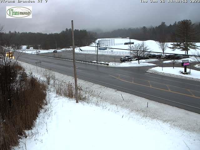
THURSDAY NIGHT: Overcast. A wintry mix transitions to rain or rain showers overnight. Temperatures rising from evening low around 35, into upper 30s.

FRIDAY: Chance for lingering sprinkles or light rain showers early then, intervals of afternoon sunshine. Much milder in the afternoon. A high near 45.

SATURDAY: Lots of clouds giving way to partial afternoon sunshine. A low mid-teens to around 20. Highs a little colder in the 25 to 32 degrees range.

SUNDAY: Filtered sunshine thru high cloudiness. Frigid. Lows zero to 10 above. Highs mid to upper 30s.

MONDAY: Mostly sunny. Lows 5 to 15. A high in the mid-30s.

Average lows upper digits to low teens. Average highs upper 20s to mid-30s.

Climatological winter ends March 9th…

RH/2-7forecast][end]

Updated Tuesday Evening Forecast — February 7th, 2023

TONIGHT: Cloudy. Light accumulating snow showers or mixed precipitation arriving this early evening. A light coating possibly making for slick travel along and east of the Greens…tapering to isolated flurries. A low in the mid to upper 20s. South to southwest winds 10 mph.

TOMORROW: Widely scattered morning flurries, followed by gradual clearing later in the afternoon. A high around 35. Wind becoming northwesterly 10 to 15 mph.

WEDNESDAY NIGHT: Mostly clear with a few high clouds. A low mid-teens to low 20s. Southwest winds 10 mph.

THURSDAY: Filtered sunshine early then thickening clouds. Rising chance for accumulating snow or mixed precipitation by dark with slick travel developing. A low in the teens. Warming trend. A high in the mid-30s. Northwest winds 10 to 15 mph.

Looking further ahead

THURSDAY NIGHT: Overcast. A wintry mix likely with poor travel in the evening…gradually transitioning to rain showers overnight. A low 32 to 35.

FRIDAY: Chance for lingering sprinkles or light rain showers early then, intervals of afternoon sunshine. A low near 35. Much milder. A high near 45.

SATURDAY: Mainly cloudy giving way to partial afternoon sunshine. A low mid-teens to around 20. A high near 35.

SUNDAY: Mostly sunny & gorgeous. Frigid. Lows 5 below to 5 above. Highs in the upper 30s.

Average lows upper digits to low teens. Average highs upper 20s to mid-30s.

Climatological winter ends March 9th…

RH/2-7forecast][end]

Updated Tuesday Morning Forecast — February 7th, 2023

TODAY: Morning sunshine gives way to lots of clouds. A high 30 to 35. Southeast winds 10 mph stronger near Lake Champlain.

TONIGHT: Cloudy. Light accumulating snow showers arriving this early evening with a light coating affecting travel along and east of the Green Mountains…tapering to isolated flurries. A low 25 to 30. South to southwest winds 10mph.

WEDNESDAY: Widely scattered morning flurries, followed by gradual clearing later in the afternoon. A high around 35. Wind becoming northwesterly 10 to 15 mph.

Looking further ahead

WEDNESDAY NIGHT: Mostly clear with a few high clouds. A low mid-teens to low 20s.

THURSDAY: Filtered sunshine early then thickening clouds. Rising chance for accumulating snow or mixed precipitation by dark with slick travel developing. A low in the teens. Warming trend. A high in the mid-30s.

THURSDAY NIGHT: Overcast. A wintry mix likely with poor travel in the evening…gradually transitioning to rain showers overnight. A low 32 to 35.

FRIDAY: Chance for lingering sprinkles or light rain showers early then, intervals of afternoon sunshine. A low near 35. Much milder. A high near 45.

SATURDAY: Mainly cloudy. A low mid-teens to around 20. A high near 35.

SUNDAY: Partly to mostly sunny. Lows in the single digits. Highs in the upper 30s

Average lows upper digits to low teens. Average highs upper 20s to mid-30s.

Climatological winter ends March 9th…

RH/2-7forecast][end]

Updated Monday Evening Forecast — February 6th, 2023

TONIGHT: Becoming mostly clear & fully moonlit. A low ranging thru the single digits to low teens. Light north winds.

TOMORROW: Morning sunshine gives way to lots of afternoon clouds. A high in the low to mid 30s. Southeast winds 10 mph stronger near Lake Champlain.

TUESDAY NIGHT: Cloudy. Light accumulating snow showers, dusting to less than an inch. A low 25 to 30. South to southwest winds 10mph.

WEDNESDAY: Widely scattered morning flurries, followed by gradual clearing in the afternoon. A high around 35. Wind becoming northwesterly 10 to 15 mph.

Looking further ahead

WEDNESDAY NIGHT: Mostly clear with a few high clouds. A low ranging from the mid-teens to mid-20s.

THURSDAY: Filtered sunshine thru high clouds, thickening up in the afternoon. Rising chance for accumulating snow or mixed precipitation toward dark with slick travel developing. A low in the teens. Warming trend. A high mid to upper 30s.

FRIDAY: Clouds with sunny intervals. Chance for lingering sprinkles or light rain showers early then exiting. A low 32 to 35. Much milder. A high low to mid 40s.

SATURDAY: Filtered sun through high clouds north and cloudy southern areas. A low in the 20s. A high in the upper 20s to low 30s.

SUNDAY: Partly to mostly sunny. Lows in the single digits. Highs in the upper 20s to low 30s.

Average lows upper digits to low teens. Average highs upper 20s to mid-30s.

Climatological winter ends March 9th…

RH/2-6forecast][end]

Updated Monday morning Forecast — February 6th, 2023

TODAY: Couple stray flurries early, otherwise lots of clouds giving way to intervals of afternoon sun. A high in the mid-30s. Light northwest winds, stronger near Lake Champlain.

TONIGHT: Becoming mostly clear. A low ranging from the mid-single digits to low teens. Light north winds.

TUESDAY: Periods of morning sun, then increasing clouds. A high 32 to 35. Southeast winds 10 mph stronger near Lake Champlain.

Looking further ahead

TUESDAY NIGHT: Cloudy. Light accumulating snow showers, dusting to less than an inch. A low 25 to 30.

WEDNESDAY: Mostly cloudy. Widely scattered morning flurries. A high around 35.

THURSDAY: Filtered sunshine thru high clouds, thickening up in the afternoon. Rising chance for accumulating snow or mixed precipitation toward dark with slick travel. A low in the teens. Warming trend. A high 35 to 40.

FRIDAY: Variably cloudy. Chance for lingering sprinkles or light rain showers early exiting. A low in the 32 to 35. Much milder. A high low to mid 40s.

Average lows upper digits to low teens. Average highs upper 20s to mid 30s.

Climatological winter ends March 9th…

RH/2-6forecast][end]

Updated Friday Evening Forecast — January 27th, 2023

TONIGHT: Fair early then thickening high clouds. A low 15 to 20. Light south winds, stronger near Lake Champlain.

TOMORROW: Clouds with a few breaks of sun. Widely scattered northern mountain flurries. Little to no accumulation. A high near 35. Southwest winds shifting to westerly 10 to 20 mph.

SATURDAY NIGHT: Partly cloudy then more clouds. A low mid to upper teens. Light southwest winds.

SUNDAY: Gray. Chance for accumulating wet snow of 1 to 3” possible across the northern higher terrain, mixed with rain drops southern valley floors. A high mid to upper 30s. Light southeast winds.

Looking further ahead

SUNDAY NIGHT: Partly cloudy. A low in the single digits.

MONDAY: Mixed sun and clouds. Maybe a few flurries developing late. A high upper 20s to around 30.

TUESDAY: Any leftover snow showers or flurries exit to variable clouds. A low single digits. A high in the mid-20s.

WEDNESDAY: Bright sunshine with a few high clouds. A low 5 below to 5 above. A high about 20 to 25.

Average lows single digits to near 10 above. Average highs mid to upper 20s.

Climatological winter ends March 9th…

RH/1-27forecast][end]

Updated Friday Morning Forecast — January 27th, 2023

TODAY: Pick of the week. Morning clouds give way to periods of sunshine. A high in the upper 20s around 30. West winds 10 mph.

TONIGHT: Fair early then thickening high clouds. A low 15 to 20. Light south winds, stronger near Lake Champlain.

SATURDAY: Mostly cloudy. Widely scattered northern mountain flurries. Little to no accumulation. A high near 35. Southwest winds shifting to westerly 10 to 20 mph.

Looking further ahead

SATURDAY NIGHT: Lots of clouds. A low mid to upper teens.

SUNDAY: Gray. Chance for accumulating wet snow of 1 to 3” possible across the northern higher terrain, mixed with rain drops southern valley floors. A high mid to upper 30s.

MONDAY: Mixed sun and clouds. A low in the single digits. A high upper 20s to around 30.

TUESDAY: Overcast. Chance for accumulating snow or snow showers. A low single digits. A high in the mid-20s.

WEDNESDAY: Becoming partly to mostly sunny. A low 5 below to 5 above. A high about 20 to 25.

Average lows single digits to near 10 above. Average highs mid to upper 20s.

Climatological winter ends March 9th…

RH/1-27forecast][end]

Updated Thursday Evening Forecast — January 26th, 2023

TONIGHT: Cloudy. Lingering evening mountain flurries dry up toward midnight. A low around 15. West winds 10 to 15 mph lowering wind chills.

TOMORROW: Pick of the week. Morning clouds, then mostly sunny. A high in the mid-20s. West winds 10 mph.

FRIDAY NIGHT: Fair early then thickening high clouds. A low about 10 to 15 above. Light south winds, stronger near Lake Champlain.

SATURDAY: Mostly cloudy. Chance for mountain flurries. A high near 35. Southwest winds shifting to westerly 10 to 20 mph.

Looking further ahead

SATURDAY NIGHT: Lots of clouds. A low 15 to 20.

SUNDAY: Gray. Chance for accumulating wet snow of a few inches possible, mixed with rain drops southern valley floors. A high around 35.

MONDAY: Becoming mostly sunny. A low in the single digits. A high upper 20s.

TUESDAY: Lots of clouds. Chance for snow showers/flurries. A low around 10. A high in the mid-20s.

Average lows single digits to near 10 above. Average highs mid to upper 20s.

Climatological winter ends March 9th…

RH/1-26forecast][end]

Updated Thursday Morning Forecast — January 26th, 2023

Winter Storm Warnings/Winter Weather Advisories expire later today…

TODAY: Overcast. Wintry mix exits to scattered light snow showers/valley flurries later this morning. Dusting to an inch or two elevated northern terrain this afternoon. Maybe a few breaks of sun in the afternoon. A high in the mid possibly upper 30s. West to southwest breeze 10 to 20 mph.

TONIGHT: Mainly cloudy. Lingering evening flurries dry up toward midnight. A low around 15. West winds 10 to 15 mph lowering wind chills.

FRIDAY: Becoming partly to mostly sunny. A high in the mid-20s. West winds 10 mph.

Looking further ahead

FRIDAY NIGHT: Fair early then thickening high clouds. A low about 10 to 15 above

SATURDAY: Mostly cloudy. Chance for mountain flurries. A high near 35.

SUNDAY: Gray. Chance for accumulating wet snow of a few inches possible, mixed with rain drops southern valley floors. A low 15 to 20. A high around 35.

MONDAY: Becoming mostly sunny. A low in the single digits. A high upper 20s.

TUESDAY: Lots of clouds. Chance for snow showers/flurries. A low around 10. A high in the mid-20s.

Average lows single digits to near 10 above. Average highs mid to upper 20s.

Climatological winter ends March 9th…

RH/1-26forecast][end]

Updated Wednesday Evening Forecast — January 25th, 2023

Winter Storm Warnings Green Mountains with Winter Weather Advisories Champlain Valley and Northeast Kingdom this afternoon into Thursday evening…

TONIGHT: Overcast. Periods of medium wet snow falling moderate at timestransitioning to a wintry mix later overnight slippery travel. Accumulation of 3 to 6” valley floors & 6 to locally 9” Green Mountain slopes. An evening low in the mid-20s with temperatures rising to near freezing toward daybreak. Southeast winds 10 to 15 mph.

TOMORROW: Overcast. An early wintry mix exits to scattered light snow showers/valley flurries mixed with sprinkles. A slushy light coating elevated terrain. Maybe a few breaks of sun in the afternoon. A high 35 to 40. West to southwest breeze 10 to 20 mph.

THURSDAY NIGHT: Mainly cloudy. Lingering evening flurries dry up toward midnight. A low around 15. West winds 10 to 15 mph lowering wind chills.

FRIDAY: Becoming partly to mostly sunny. A high in the mid-20s. West winds 10 mph.

Looking further ahead

FRIDAY NIGHT: Fair early then thickening high clouds. A low about 10 to 15 above

SATURDAY: Mostly cloudy. Chance for mountain flurries. A high near 35.

SUNDAY: Filtered sunshine gives way to lots of clouds. Chance for light accumulating snow mixed with rain valley floors. A low 15 to 20. A high around 35.

MONDAY: A low in the single digits. A high in the mid-20s.

Average lows single digits to near 10 above. Average highs mid to upper 20s.

Climatological winter ends March 9th…

RH/1-24forecast][end]