Updated Wednesday Morning Forecast — January 25th, 2023

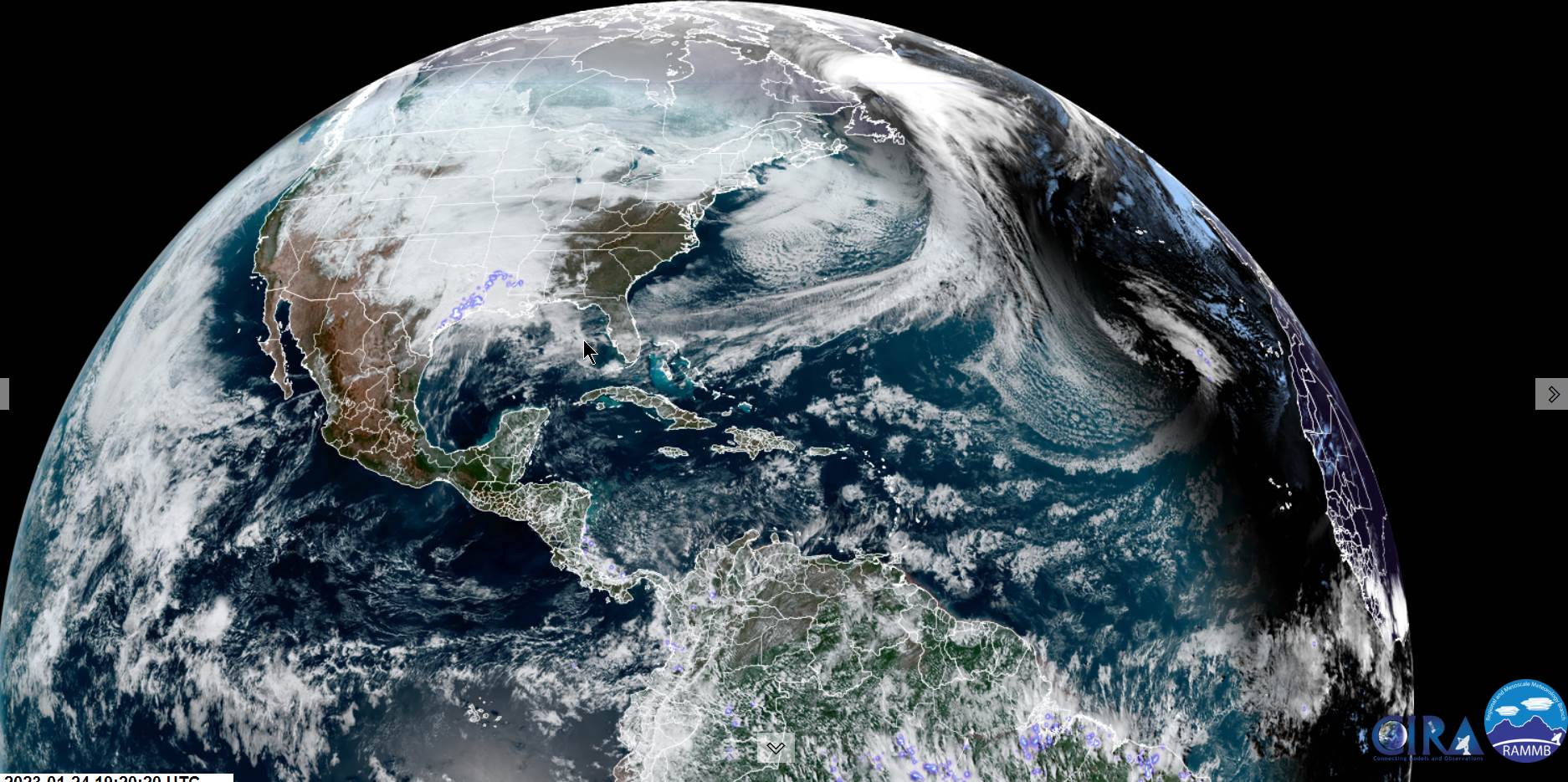
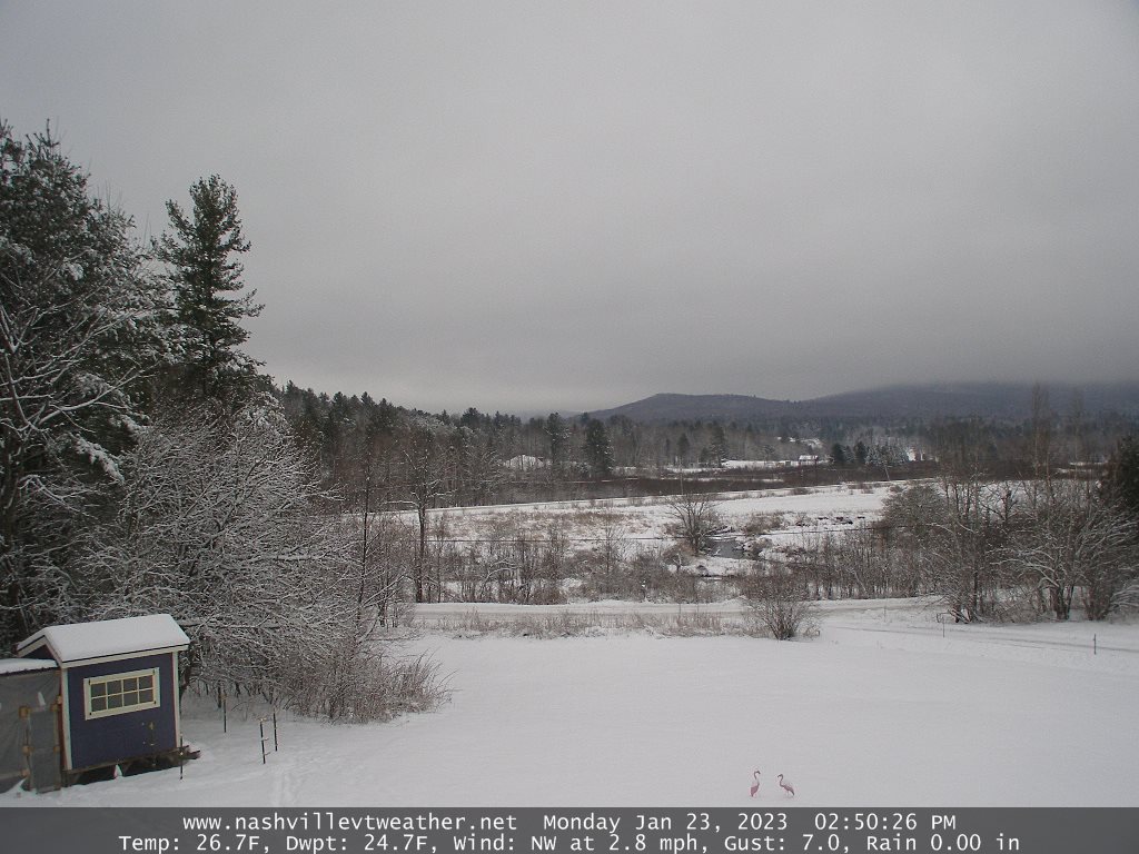
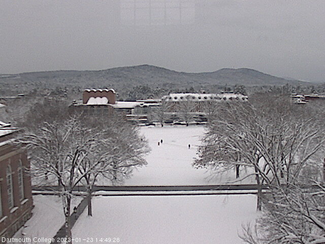
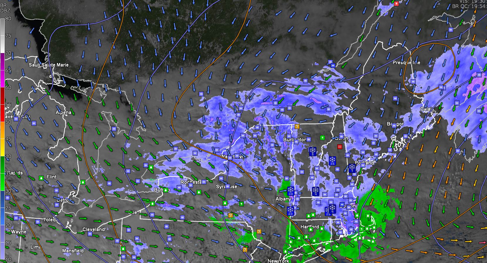
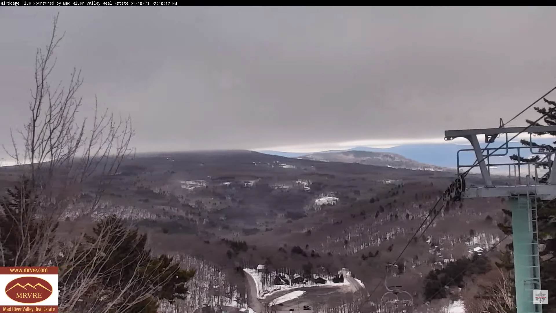
Winter Storm Warnings Green Mountains with Winter Weather Advisories Champlain Valley and Northeast Kingdom this afternoon into Thursday evening…

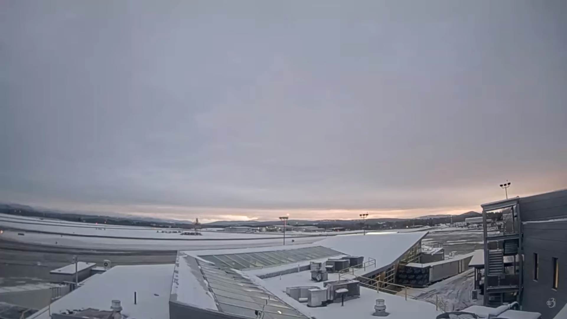
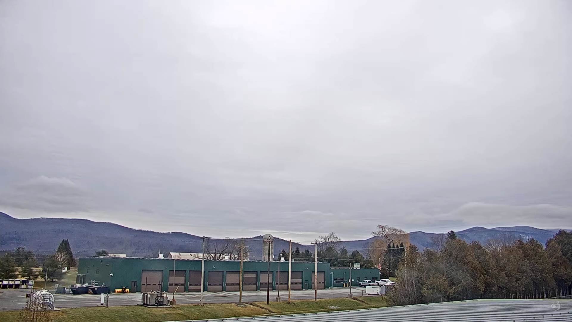
TODAY: Maybe a brief period of filtered sunshine, then gray. Rising chance for late day accumulating snow southern Vermont. A high in the upper 20s. Light southeast winds.

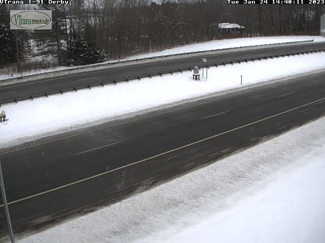
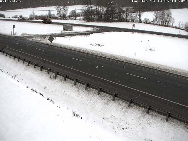
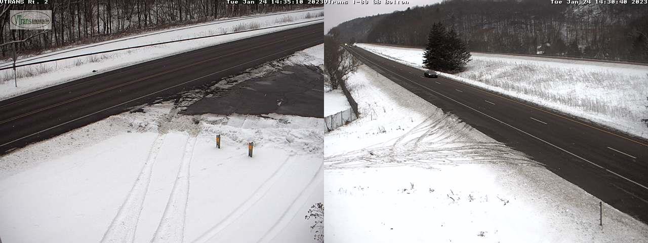
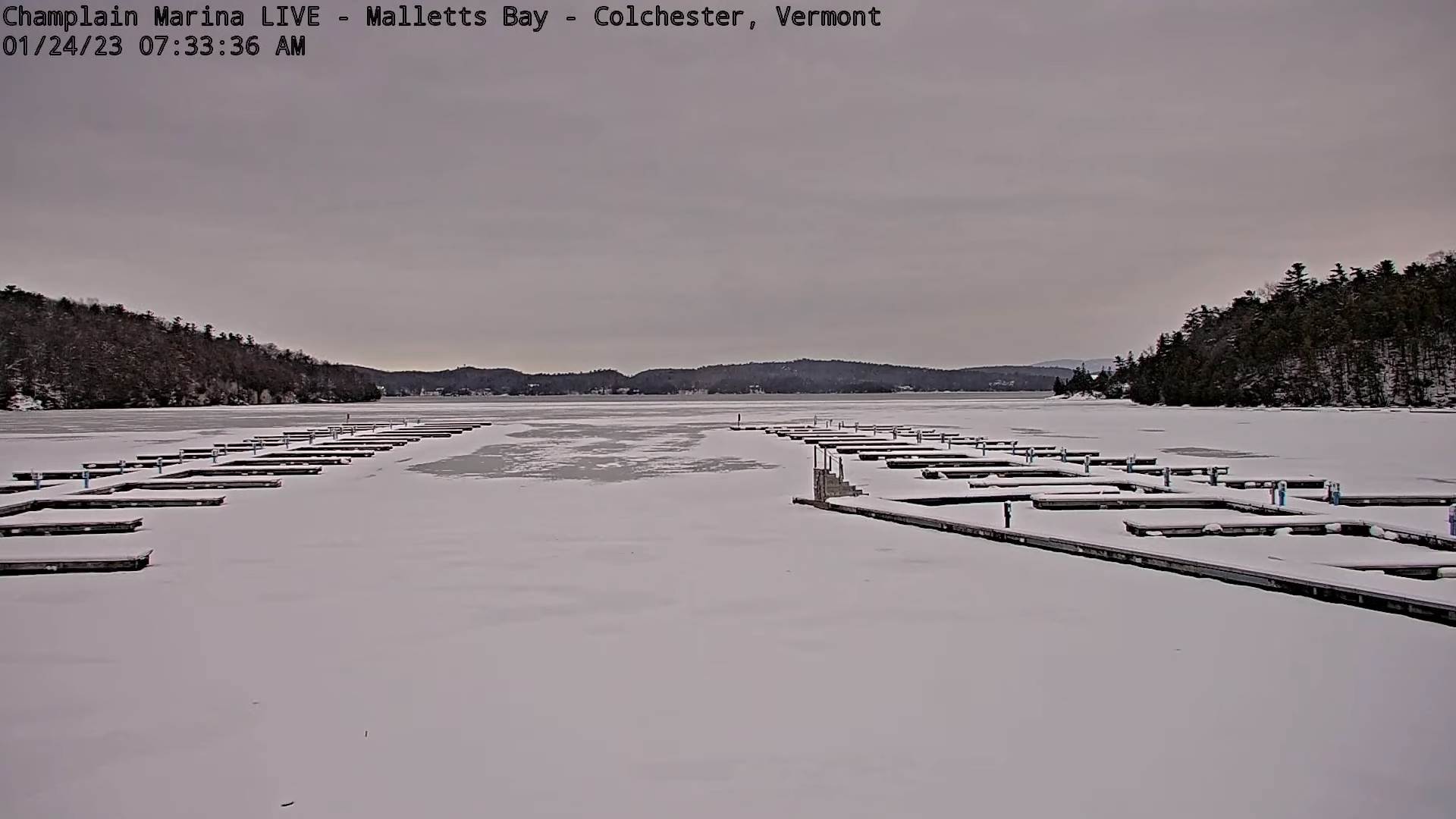
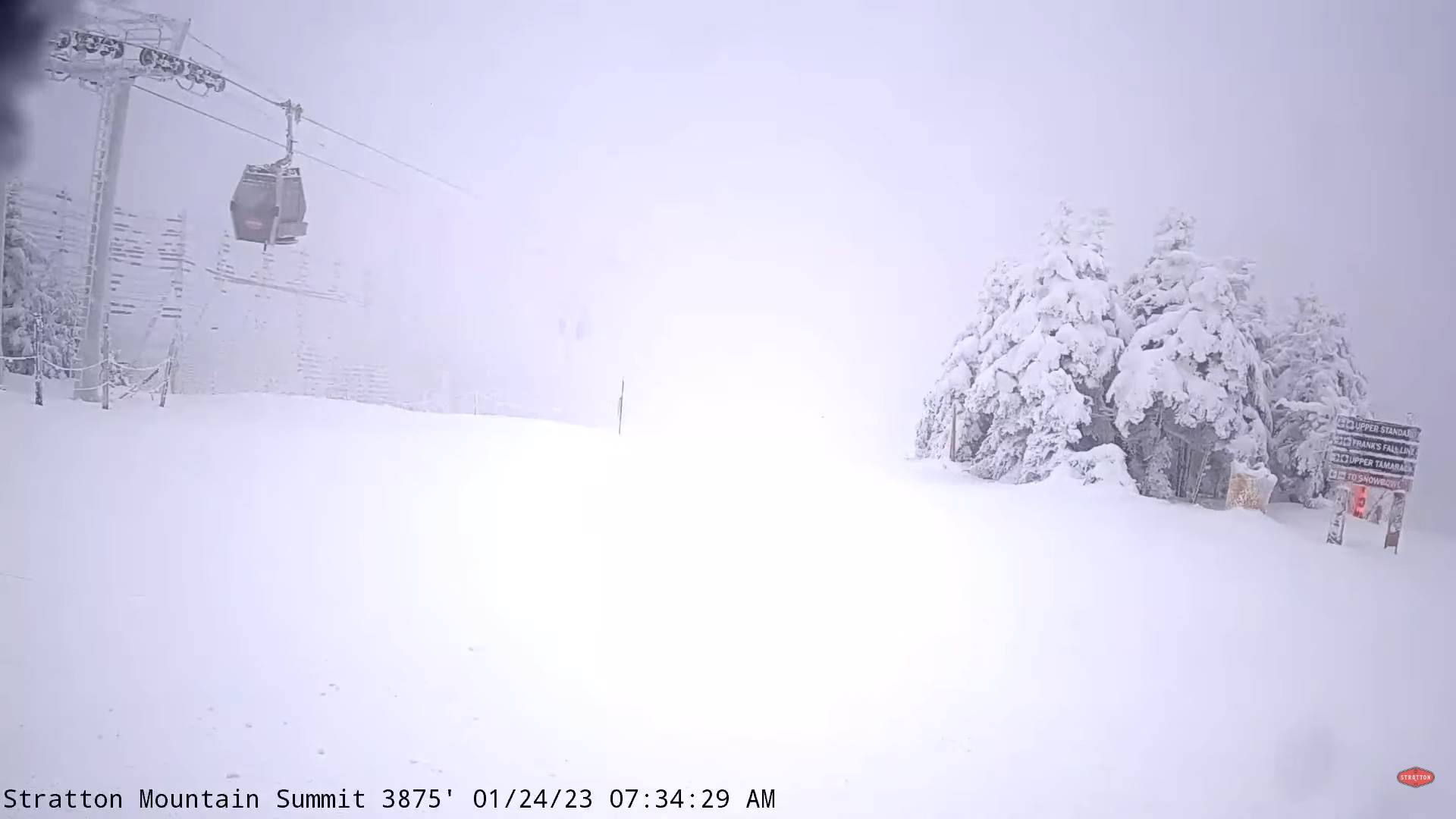
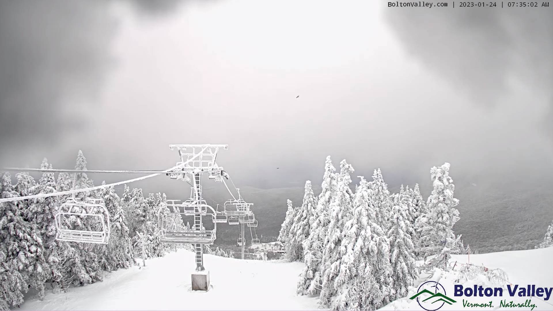
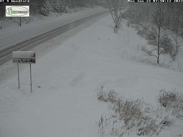
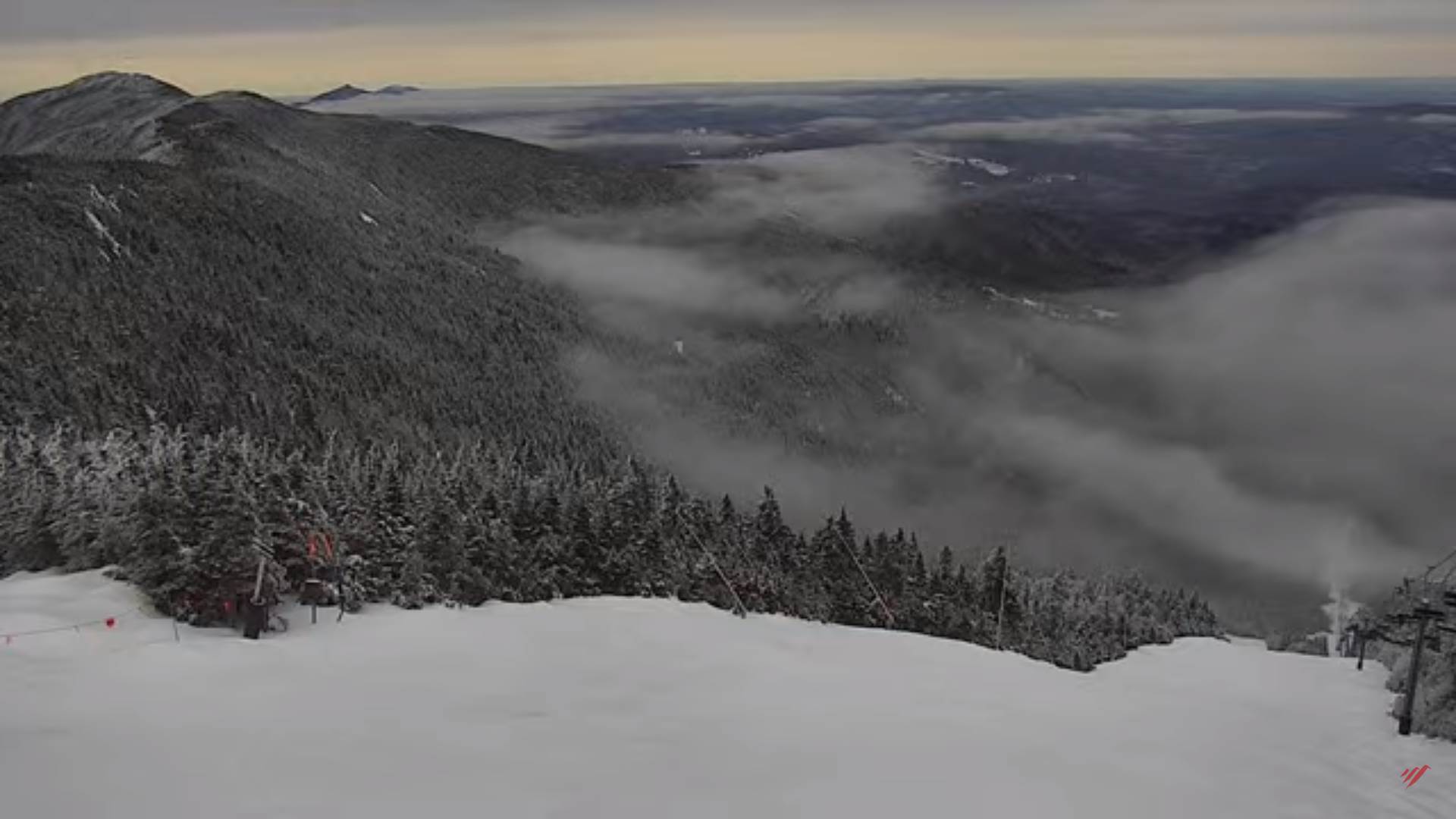
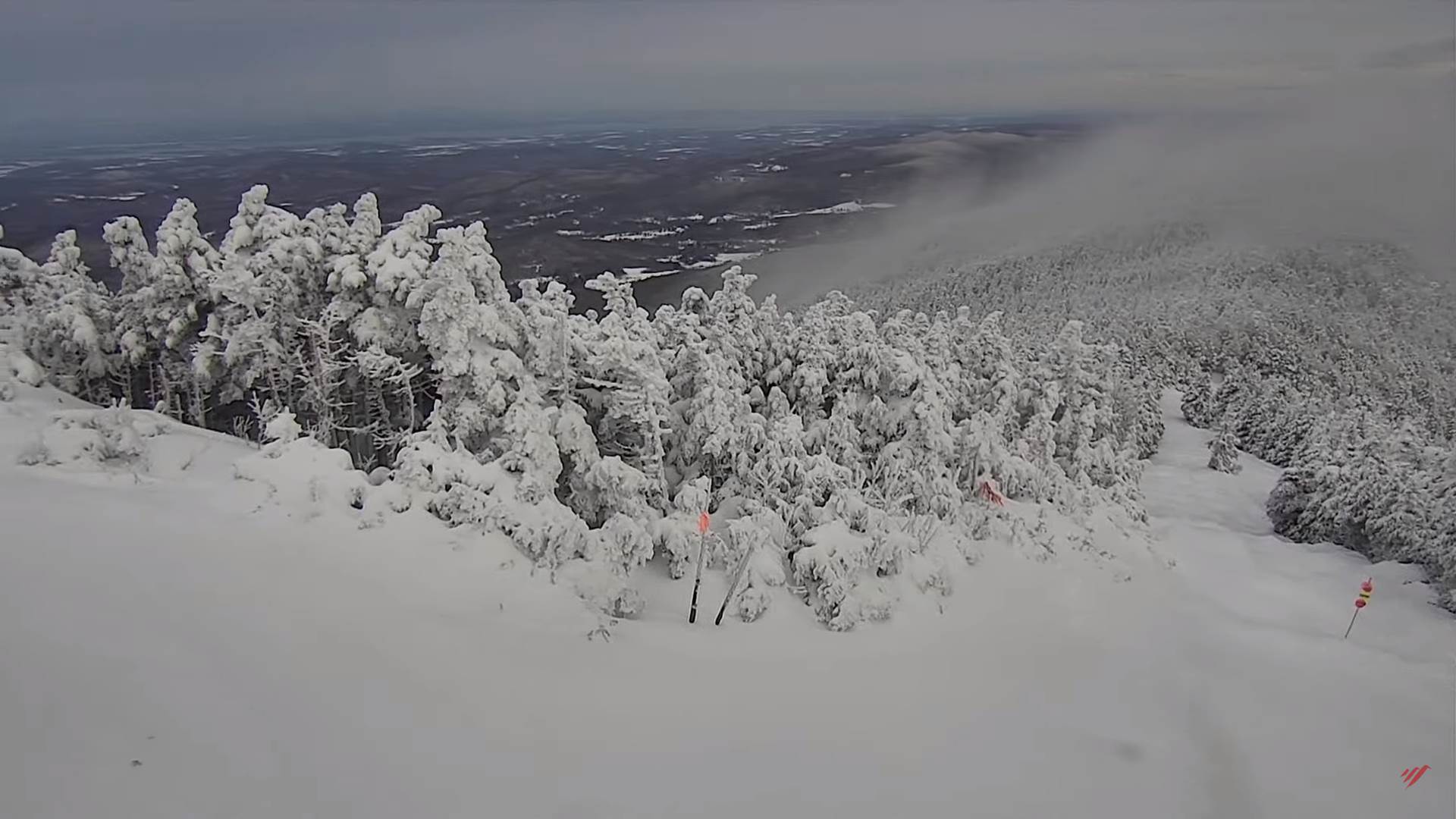
TONIGHT: Overcast. Periods of medium wet snow falling moderate at timestransitioning to a wintry mix later overnight slippery travel. Accumulation of 3 to 6” valley floors & 6 to locally 9” Green Mountain slopes. An evening low in the mid-20s with temperatures rising to near freezing toward daybreak. East to southeast winds 10 mph.

THURSDAY: Overcast. An early wintry mix exits to scattered light snow showers/valley flurries mixed with sprinkles. A slushy light coating elevated terrain. Maybe a few breaks of sun in the afternoon. A high mid-30s possibly warmer some valleys. West to southwest breeze 10 to 20 mph.

Looking further ahead

THURSDAY NIGHT: Mainly cloudy. Lingering evening flurries dry up toward midnight. A low in the low to mid-teens.

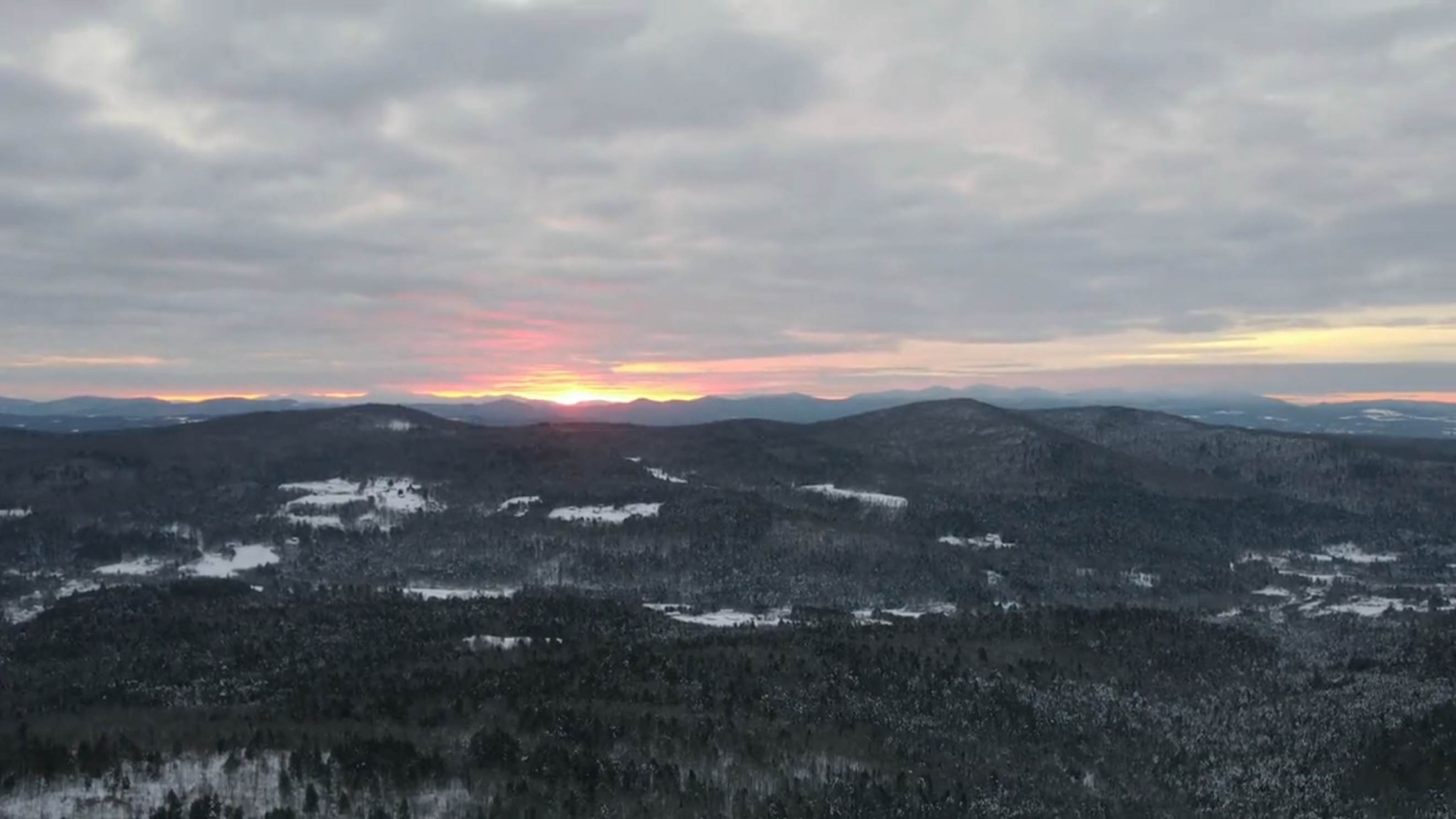
FRIDAY: Becoming partly to mostly sunny skies. A high in the mid-20s.

SATURDAY: Mostly cloudy. Chance for mountain flurries. A low about 10 above. A high near 35.

SUNDAY: Filtered sunshine gives way to lots of clouds. Chance for light accumulating snow mixed with rain valley floors. A low 15 to 20. A high around 35.

Average lows single digits to near 10 above. Average highs mid to upper 20s.

Climatological winter ends March 9th…

RH/1-24forecast][end]

Updated Tuesday Evening Forecast — January 24th, 2023

TONIGHT: Cloudy. Scattered mountain snow showers and valley flurries northern areas winding down,then a brief period of partial clearing overnight. A low mid-single digits to low teens.Light northwest winds.

Winter Storm Watch Washington County south Wednesday afternoon into Thursday evening…

TOMORROW: Maybe a brief period of filtered sunshine, then gray. Rising chance for late day accumulating snow southern Vermont. A high mid to upper 20s. Light southeast winds.

WEDNESDAY NIGHT: Overcast. Periods of medium wet snow falling moderate at timestransitioning to a wintry mix later overnight with poor travel. Accumulation of 4 to locally 9” with higher amounts S. and central Green Mountains. An early low in the mid-20s then temperatures rising to near freezing toward morning. East to southeast winds 10 mph.

THURSDAY: Overcast. An early wintry mix exits to leftover snow showers/flurries with light coatings western slopes of the Greens. Maybe a few breaks of sun in the afternoon. A high mid to possibly upper 30s. West to southwest breeze 10 to 20 mph.

Looking further ahead

THURSDAY NIGHT: Mainly cloudy. A low in the low to mid-teens.

FRIDAY: Becoming partly to mostly sunny skies. A high around 20.

SATURDAY: Mostly cloudy. Chance for flurries. A low about 10 above. A high around 32.

SUNDAY: Filtered sunshine gives way to lots of clouds. Chance for light accumulating snow late. A low in the teens. A high around 35.

Average lows single digits to near 10 above. Average highs mid to upper 20s.

Climatological winter ends March 9th…

RH/1-24forecast][end]

Updated Tuesday Morning Forecast — January 24th, 2023

TODAY: Considerable cloudiness & becoming blustery this afternoon. Scattered snow showers with a risk of a squall arriving late morning into the midafternoon with a quick coating northern higher terrain. A high 32 to 35 degrees. Blustery west to southwest winds 10 to 20 mph & gusty.

TONIGHT: Clouds with a stray mountain flurrythen partial clearing. A low 5 to 15 above.Light northwest winds.

Winter Storm Watch Washington County south Wednesday afternoon into Thursday evening…

WEDNESDAY: Periods of morning sun then clouding up. Rising chance for late day accumulating snow southern Vermont. A high in the mid to upper 20s. Light southeast winds.

Looking further ahead

WEDNESDAY NIGHT: Overcast. Periods of medium wet snow falling moderate at timestransitioning to a wintry mix later overnight with poor travel. Accumulation of 4 to locally 9” with higher amounts S. and central Green Mountains. An early low in the mid-20s.

THURSDAY: Overcast. An early wintry mix exits to leftover snow showers/flurries with light coatings western slopes of the Greens. Maybe a few breaks of sun late. A high around 35.

FRIDAY: Becoming partly to mostly sunny skies. A low around 10. A high in the lower 20s.

SATURDAY: Mostly cloudy. Chance for flurries. A low about 10 above. A high around 32.

SUNDAY: Filtered sunshine gives way to lots of clouds. Chance for light accumulating snow late. A low in the teens. A high around 35.

Average lows single digits to near 10 above. Average highs mid to upper 20s.

Climatological winter ends March 9th…

RH/1-24forecast][end]

Updated Monday Evening Forecast — January 23rd, 2023

TONIGHT: A few stray mountain flurries, otherwise mostly cloudy. A low in the mid-20s. Light west to northwest winds.

TOMORROW: Lots of clouds with a break or two of sun possible & blustery. Scattered snow showers with a risk of a squall. Dusting to an inch with some blowing and drifting. A high 32 to 35 degrees. Blustery west to southwest winds 10 to 20 mph & gusty.

TUESDAY NIGHT: Clouds with a stray mountain flurrythen partial clearing. A low 5 to 15 above.Light northwest winds.

WEDNESDAY: Periods of morning sun then clouding up. Rising chance for late day accumulating snow southern Vermont. A high 25 to 30. Light southeast winds.

Looking further ahead

WEDNESDAY NIGHT: Overcast. Periods of light to occasionally moderate snowfall likelytransitioning to a wintry mix later overnight. An early low 20 to 25.

THURSDAY: Overcast. An early wintry mix exits to a few leftover snow showers minor additional accumulation northern western areas. Maybe a few breaks of sunshine late. A high 32 to 35.

FRIDAY: Any morning flurries exit to partly to mostly sunny skies. A low around 10. A high in the lower20s.

SATURDAY: Mostly cloudy. A low 5 to 15 above. A high 32 to 35.

Average lows single digits to near 10 above. Average highs mid to upper 20s.

Climatological winter ends March 9th…

RH/1-23forecast][end]

Updated Monday Morning Forecast — January 23rd, 2023

TODAY: Gray. Periods of light to occasionally moderate wet snow this morning tapering off northern areas lingering southern areas thru the day. Total accumulations 2 to locally 6” with the most in central Vermont, & 6 to locally 12” southern Vermont counties with wet snow loading. A high near 32 degrees. Light north winds.

TONIGHT: Cloudy. A few leftover stray mountain flurries in the evening. A low around 25. Light west to northwest winds.

TUESDAY: Lots of clouds with a break or two of sun possible. Chance for a few snow showers with a risk of snow squalls with minor accumulation. A high 32 to 35 degrees. Blustery west winds 10 to 20 mph.

Looking further ahead

TUESDAY NIGHT: Gradual clearing. A low zero to 10 above.

WEDNESDAY: Periods of morning sun then clouding up. A high in the mid to upper 20s.

THURSDAY: Overcast. Chance for snow…moderate at times transitioning to a wintry mix. A few to several inches possible. A low 20 to 25. A high around 35.

FRIDAY: Any morning flurries exit to partly to mostly sunny skies. A low in the 10 to 15. A high upper teens to low 20s.

SATURDAY: Mostly cloudy. A low zero to 10 above. A high 32 to 35.

Average lows single digits to near 10 above. Average highs mid to upper 20s.

Climatological winter ends March 9th…

RH/1-23forecast][end]

Updated Friday Evening Forecast — January 20th, 2023

TONIGHT: Scattered mainly mountain flurries. Otherwise lots of clouds. A low 10 to 15. Light north winds.

TOMORROW: Morning clouds, then partly to mostly sunny. Colder. A high in the mid to upper 20s. Northwest winds 10 mph.

SATURDAY NIGHT: Fair early, then clouding up. Lows 5 to 15. Little wind.

Approximate half-way point of winter

SUNDAY: Filtered sunshine early then thickening clouds. A high in the low 30s. South breeze 10 mph, stronger near Lake Champlain.

Looking Further Ahead…

SUNDAY NIGHT: Cloudy. Medium-to wet accumulating snow becoming likely in the evening with a coating north to a few inches accumulation central and south several inches possible southern Green Mountains. A low mid to upper 20s.

MONDAY: Mainly cloudy. Mountain snow showers and valley flurries to taper off. A high around 35.

TUESDAY: Maybe brief morning sun, then clouding up. A rising chance for wet snow showers mixed with rain valleys. A low in the teens. A high in the mid-30s.

WEDNESDAY: Filtered sunshine gives way to more clouds later on. A low in the mid-teens. A high about 32.

Average lows single digits to near 10 above. Average highs mid to upper 20s.

Climatological winter ends March 9th…

RH/1-20forecast][end]

Updated Friday Morning Forecast — January 20th, 2023

Winter Weather Advisory thru early Friday afternoon…

TODAY: Overcast. Accumulating snow showers flaring up again late this morning eventually tapering to occasional flurries gradually winding this afternoon. An additional inch or two northern areas, up to locally 3” southern areas likely. A high about 32. Light east winds.

TONIGHT: Mainly evening mountain flurries. Otherwise lots of clouds. A low 10 to 15. Light north winds.

SATURDAY: Morning clouds, then partial afternoon sunshine. Colder. A high in the mid to upper 20s. Light northwest winds.

Looking Further Ahead…

SATURDAY NIGHT: Fair early, then clouding up. Lows 5 to 15.

Approximate half-way point of winter

SUNDAY: Filtered sunshine early then thickening clouds. A high in the low 30s.

MONDAY: Overcast. Chance for accumulating snow…possibly few inches…tapering to scattered flurries. A low mid-20s. A high around 35.

TUESDAY: Maybe brief morning sun, then clouding up. A rising chance for snow showers or snow squalls. A low in the teens. A high about 32.

WEDNESDAY: Partly to mostly sunny. A low in the mid-teens. A high about 32.

Average lows single digits to near 10 above. Average highs mid to upper 20s.

Climatological winter ends March 9th…

RH/1-19forecast][end]

Updated Thursday Night Forecast — January 19th, 2023

Winter Weather Advisory thru early Friday afternoon…

TONIGHT: Cloudy. Periods of accumulating wet snow…moderate at times this evening becoming lighter & intermittent after midnight. Accumulations about 3 to 7 inches, more central & southern Green Mountain summits. A low in the upper 20s. Light east winds.

TOMORROW: Overcast. Accumulating snow showers in the morning, tapering off to scattered flurries in the afternoon. An additional inch or two likely. A high about 32. Light east winds.

FRIDAY NIGHT: Mainly evening mountain flurries. Otherwise mostly cloudy. A low 5 to 15. Light north winds.

SATURDAY: Morning clouds, then intervals of sun. Colder. A high in the mid to upper 20s. Light northwest winds.

Looking Further Ahead…

SATURDAY NIGHT: Becoming mostly clear. Lows 5 to 15.

Approximate half-way point of winter

SUNDAY: Filtered sunshine early then thickening clouds. A high 32 to 35.

MONDAY: Overcast. Chance for accumulating snow…possibly few inches…tapering to scattered flurries. A low mid to upper 20s. A high about 32 to 35.

TUESDAY: Maybe brief morning sun, then clouding up. A rising chance for snow showers or snow squalls. A low mid to upper teens. A high about 32.

Average lows single digits to near 10 above. Average highs mid to upper 20s.

Climatological winter ends March 9th…

RH/1-18forecast][end]

Updated Thursday Morning Forecast — January 19th, 2023

Winter Weather Advisory goes into effect 1 PM this afternoon into early Friday afternoon…

TODAY: Thickening clouds. Accumulating wet snow mixed precipitation arriving later this afternoon southern areas. A high 32 to 35. Light north winds.

TONIGHT: Cloudy. Periods of accumulating wet snow moderate at times in the evening…mixed with sleet and pockets of freezing rain southern counties. Accumulations about 3 to 7 inches, more central & southern Green Mountain summits. A low in the upper 20s. Light east winds.

FRIDAY: Overcast. Accumulating snow showers tapering off to scattered flurries in the afternoon. An additional inch or two possible. A high 30 to 32. Light northeast winds.

Looking Further Ahead…

FRIDAY NIGHT: A few mountain flurries mainly in the evening, exiting. Otherwise mostly cloudy. A low in the teens.

SATURDAY: Morning clouds, then intervals of sun. Colder. A high in the mid-20s.

Approximate half-way point of winter

SUNDAY: Filtered sunshine early then thickening clouds. Lows 5 to 15. A high around 30.

MONDAY: Overcast. Chance for accumulating snow…possibly few inches…tapering to scattered flurries. A low in the upper 20s. A high 32 to 35.

TUESDAY: Maybe brief morning sun, then clouding up. A rising chance for snow showers or snow squalls. A low mid to upper teens. A high about 32.

Average lows single digits to near 10 above. Average highs mid to upper 20s.

Climatological winter ends March 9th…

RH/1-18forecast][end]

Updated Wednesday Night Forecast — January 18th, 2023

TONIGHT: Early evening clouds then clearing. More clouds developing overnight. A low around 25. Light northwest winds.

TOMORROW: Brief partial morning sun, then clouding up. Chance for late day wet snow or with a risk of mixed precipitation arriving far southern areas late. A high about 30. Light north winds.

THURSDAY NIGHT: Cloudy. Periods of accumulating wet snow moderate at times in the evening…mixed with sleet and pockets of freezing rain southern counties. Accumulations about 3 to 7 inches, more mountain summits. A low in the mid-20s. Light east winds.

FRIDAY: Overcast. Accumulating snow showers tapering off to scattered flurries in the afternoon. An additional inch or two possible. Seasonable highs upper 20s near 30. Light northeast winds.

Looking Further Ahead…

FRIDAY NIGHT: A few mountain flurries mainly in the evening, exiting. Otherwise mostly cloudy. A low in the teens.

SATURDAY: Morning clouds give to lots of sunshine. A high in the mid-20s.

Approximate half-way point of winter

SUNDAY: Filtered sunshine early then thickening clouds. Lows in the single digits. Highs upper 20s near 30.

MONDAY: Overcast. Chance for snow…possibly several inches…tapering to scattered snow showers/flurries. A low mid to upper 20s. A high 25 to 30.

Average lows single digits to near 10 above. Average highs mid to upper 20s.

Climatological winter ends March 9th…

RH/1-18forecast][end]