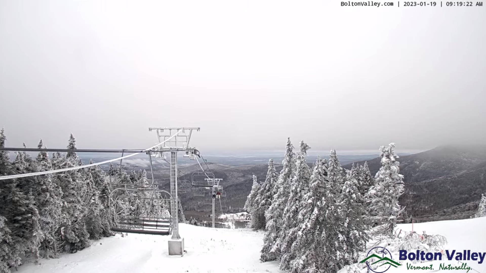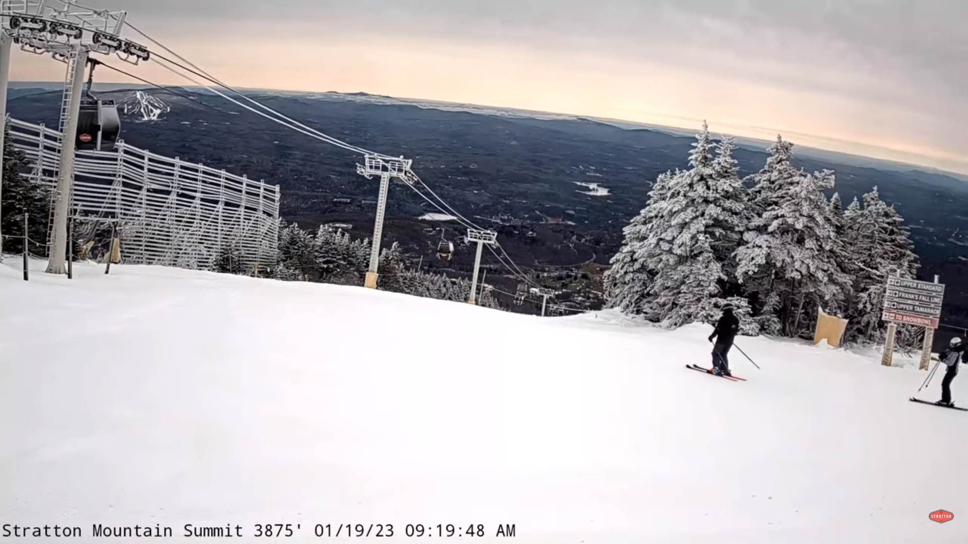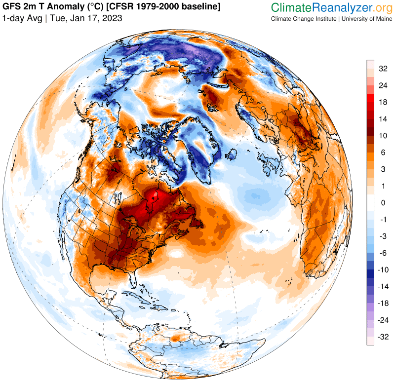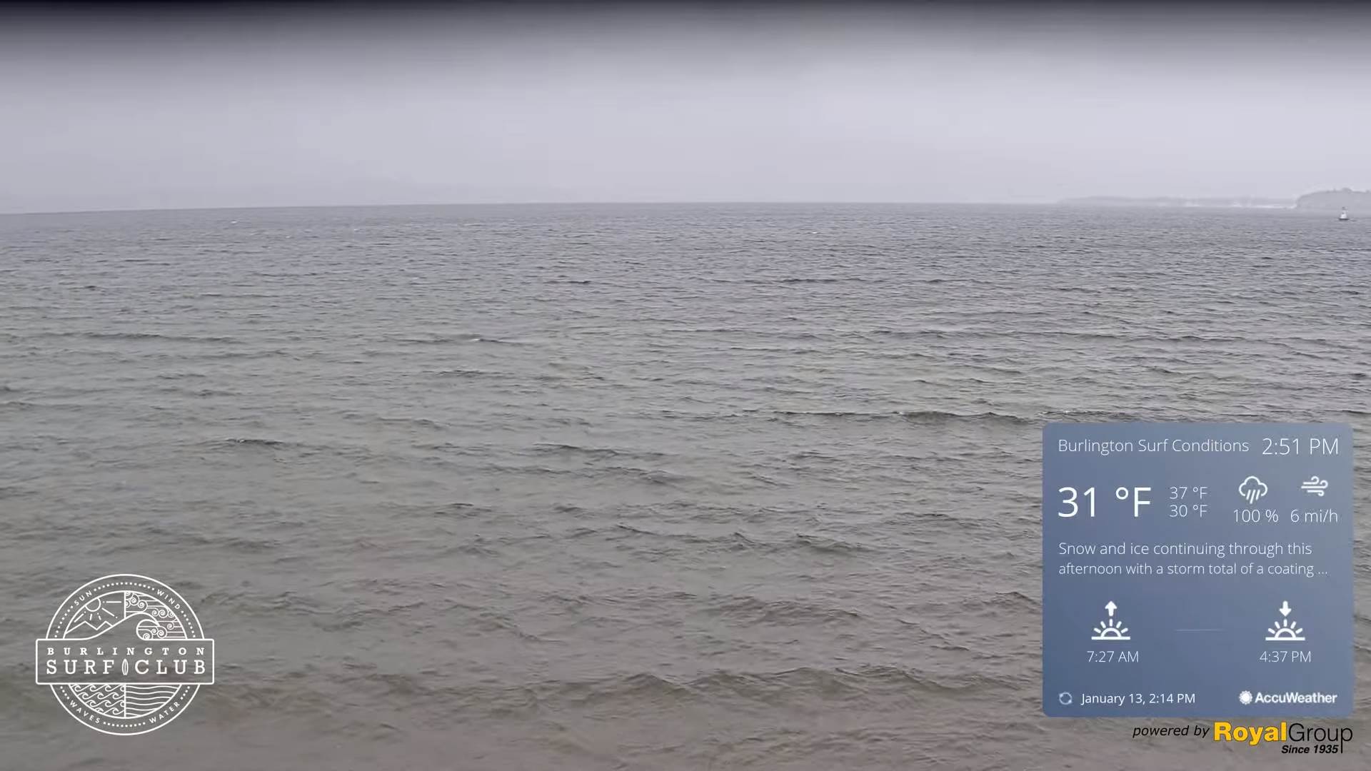
Winter Weather Advisory thru early Friday afternoon…
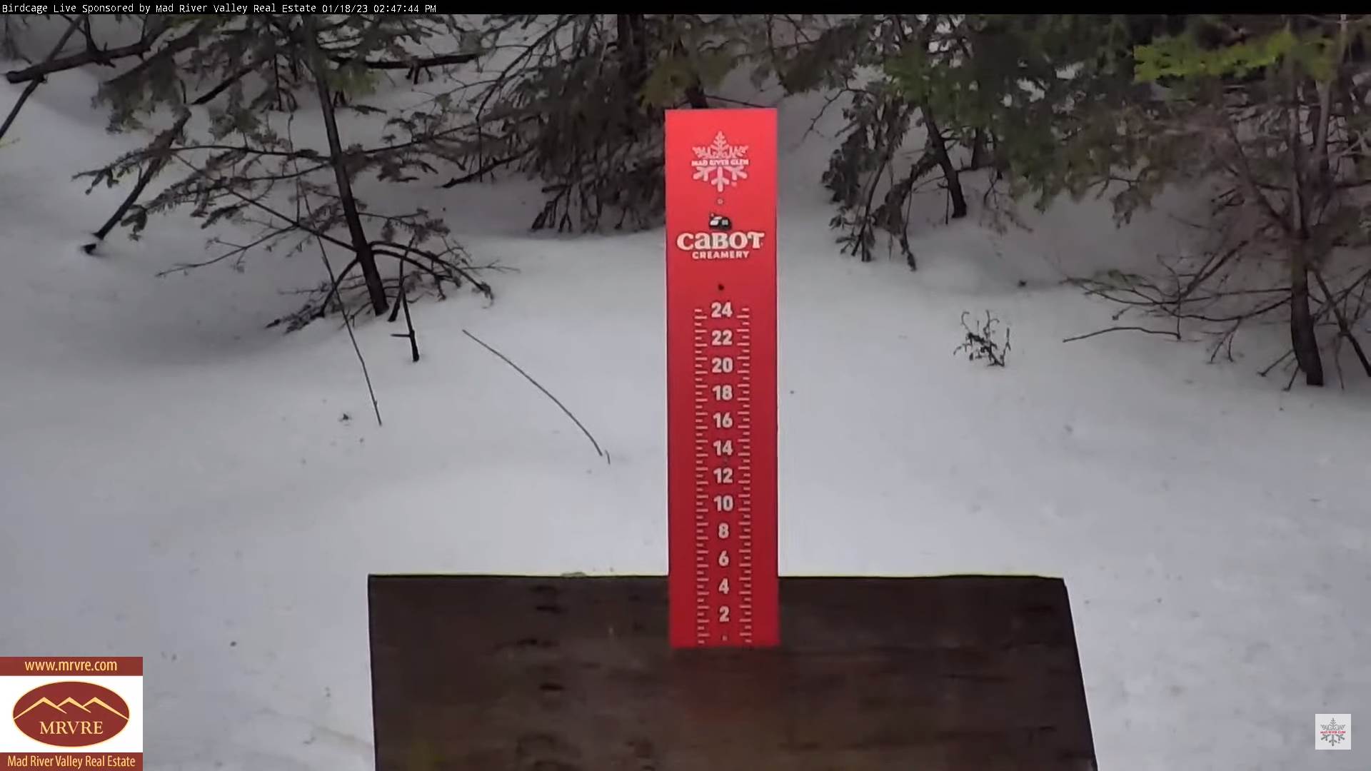
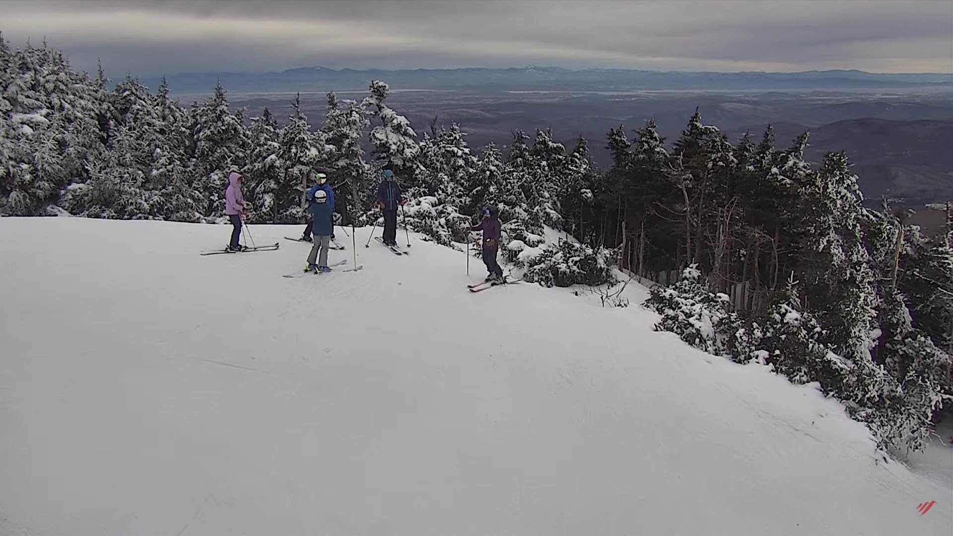
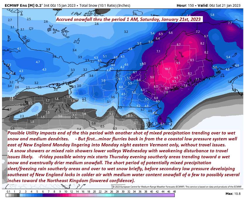
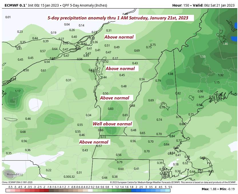
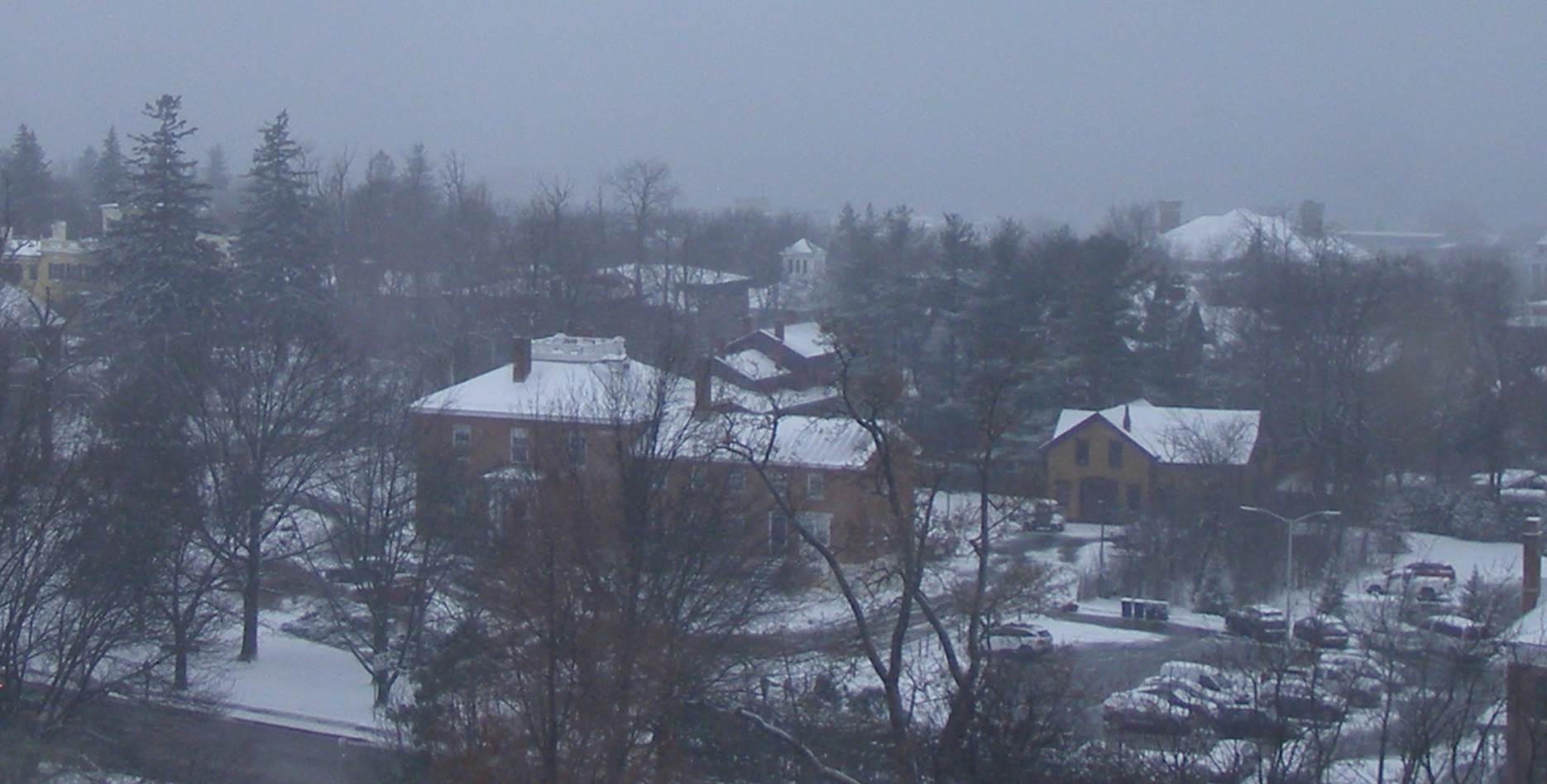
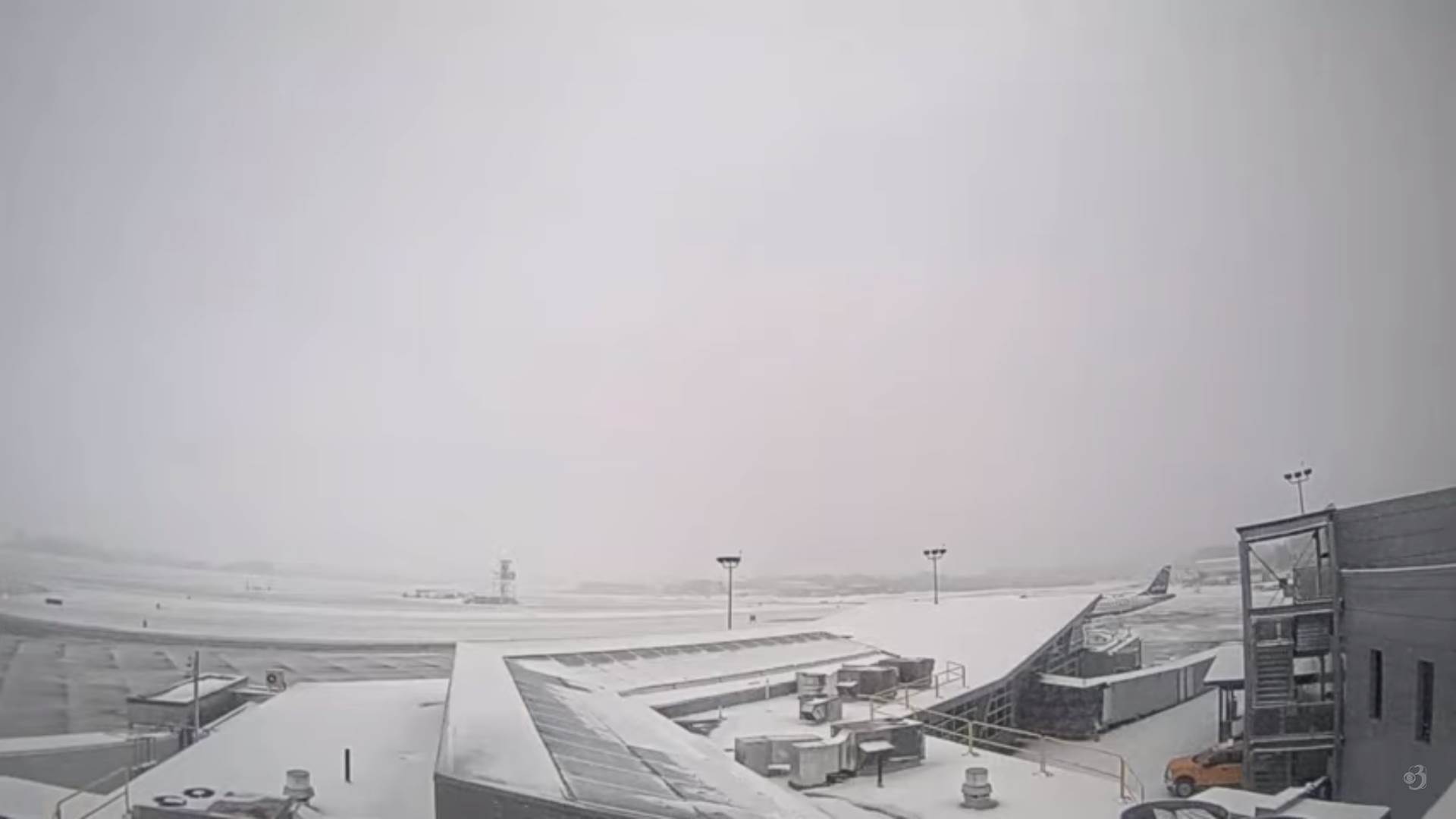
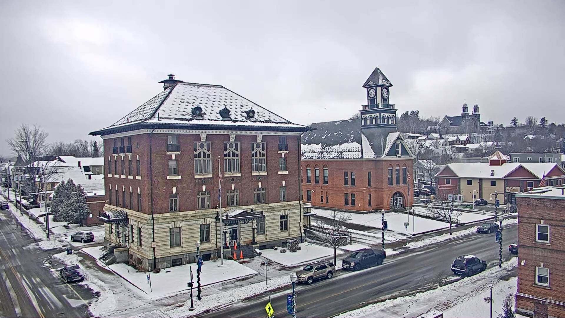
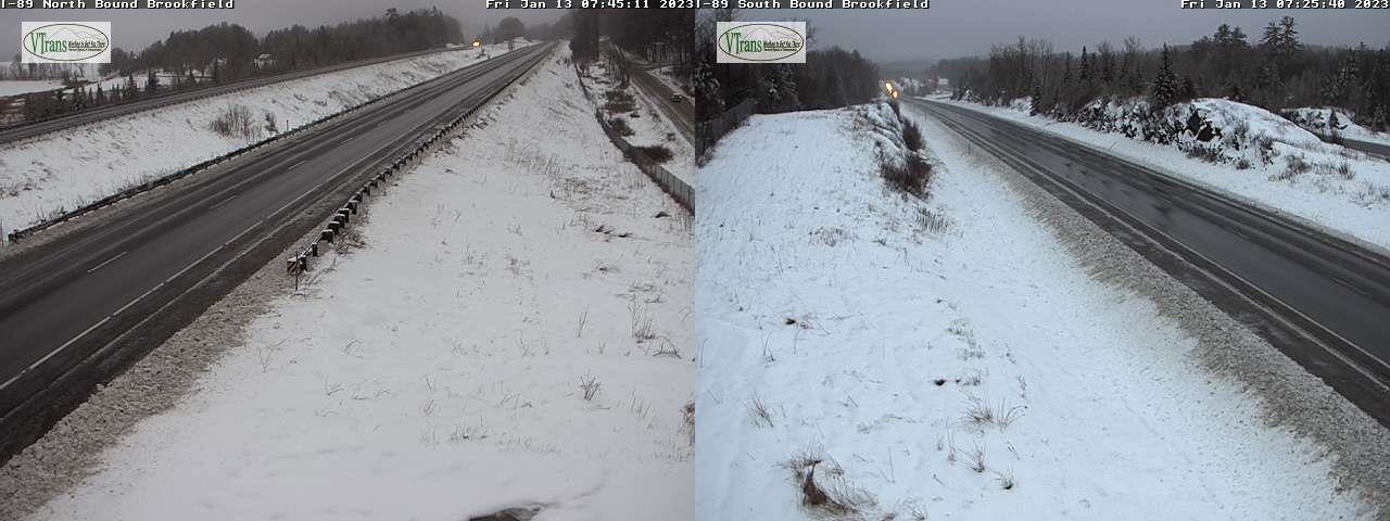
TONIGHT: Cloudy. Periods of accumulating wet snow…moderate at times this evening becoming lighter & intermittent after midnight. Accumulations about 3 to 7 inches, more central & southern Green Mountain summits. A low in the upper 20s. Light east winds.
TOMORROW: Overcast. Accumulating snow showers in the morning, tapering off to scattered flurries in the afternoon. An additional inch or two likely. A high about 32. Light east winds.
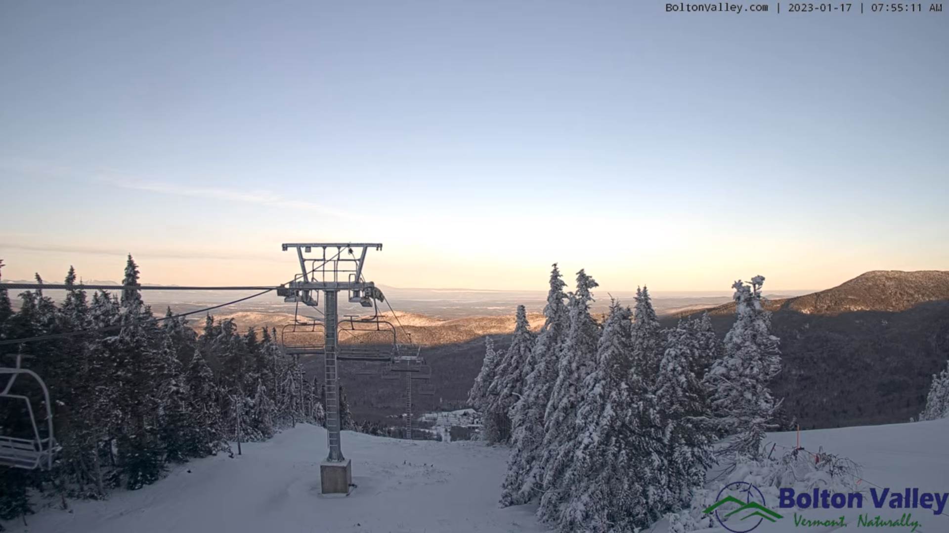
FRIDAY NIGHT: Mainly evening mountain flurries. Otherwise mostly cloudy. A low 5 to 15. Light north winds.
SATURDAY: Morning clouds, then intervals of sun. Colder. A high in the mid to upper 20s. Light northwest winds.
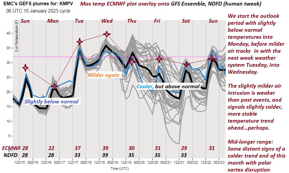
Looking Further Ahead…
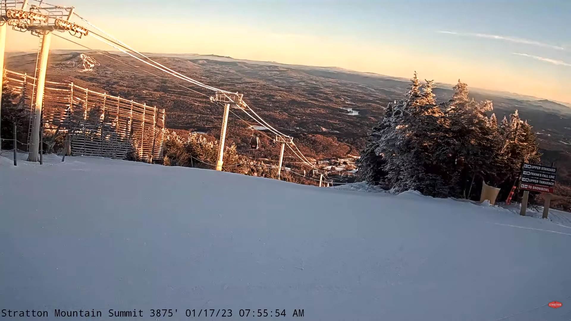
SATURDAY NIGHT: Becoming mostly clear. Lows 5 to 15.
Approximate half-way point of winter
SUNDAY: Filtered sunshine early then thickening clouds. A high 32 to 35.
MONDAY: Overcast. Chance for accumulating snow…possibly few inches…tapering to scattered flurries. A low mid to upper 20s. A high about 32 to 35.
TUESDAY: Maybe brief morning sun, then clouding up. A rising chance for snow showers or snow squalls. A low mid to upper teens. A high about 32.
Average lows single digits to near 10 above. Average highs mid to upper 20s.
Climatological winter ends March 9th…
RH/1-18forecast][end]