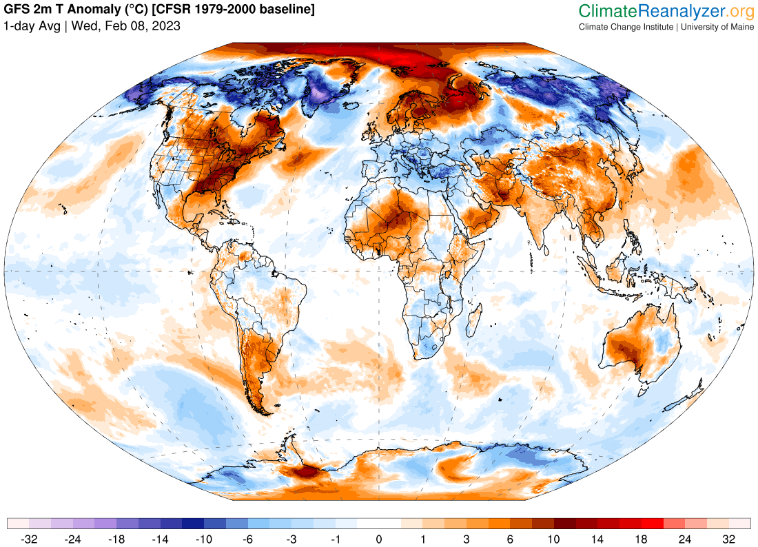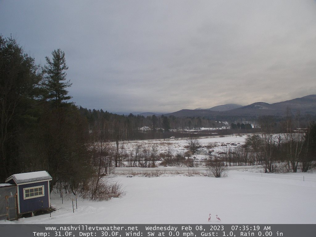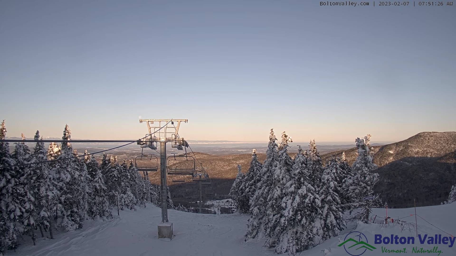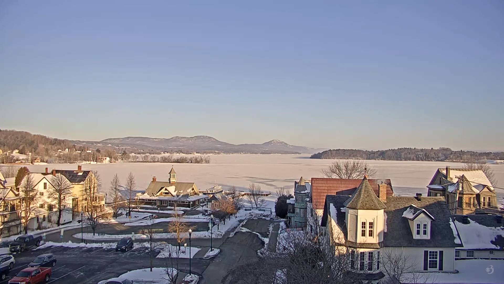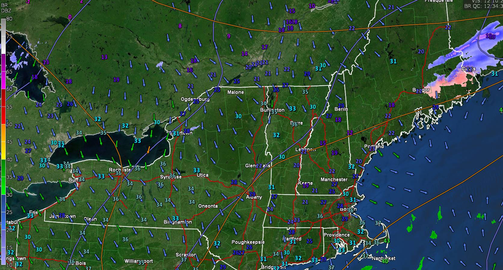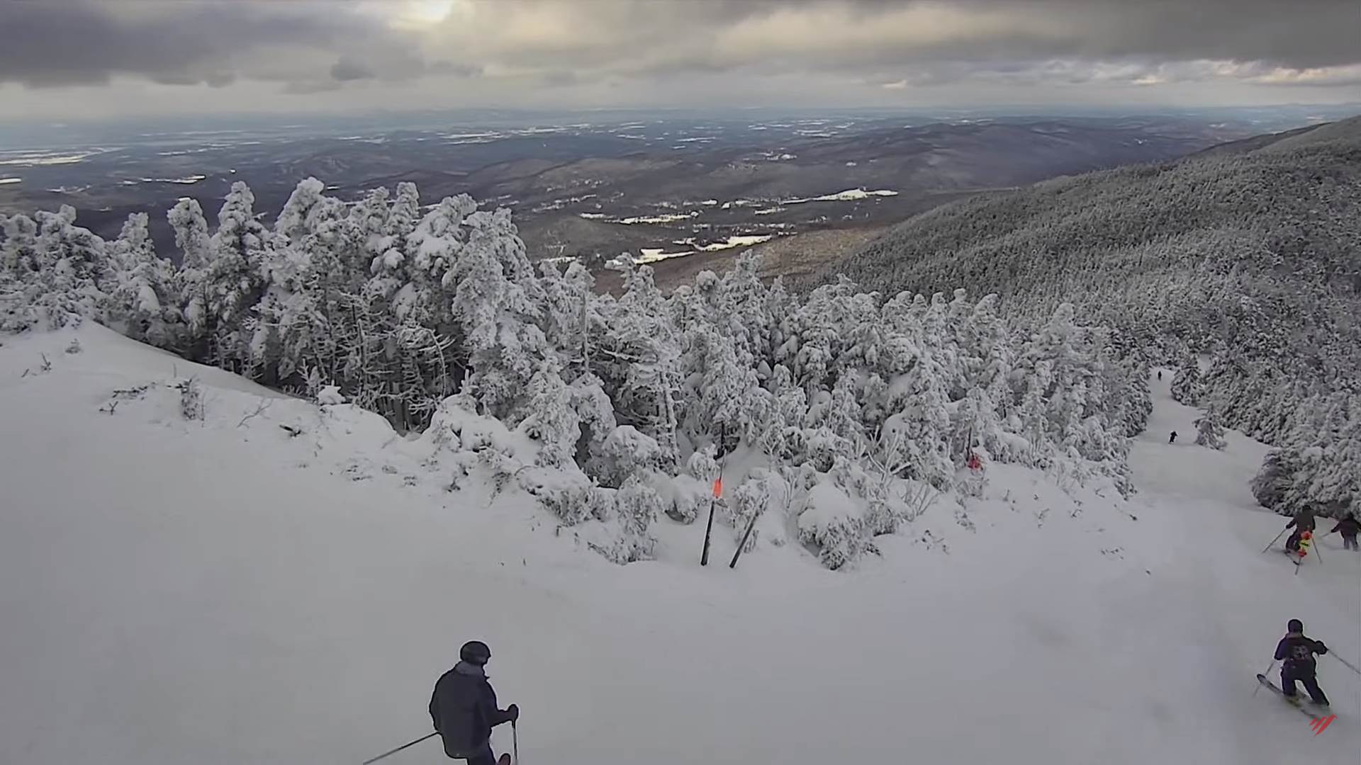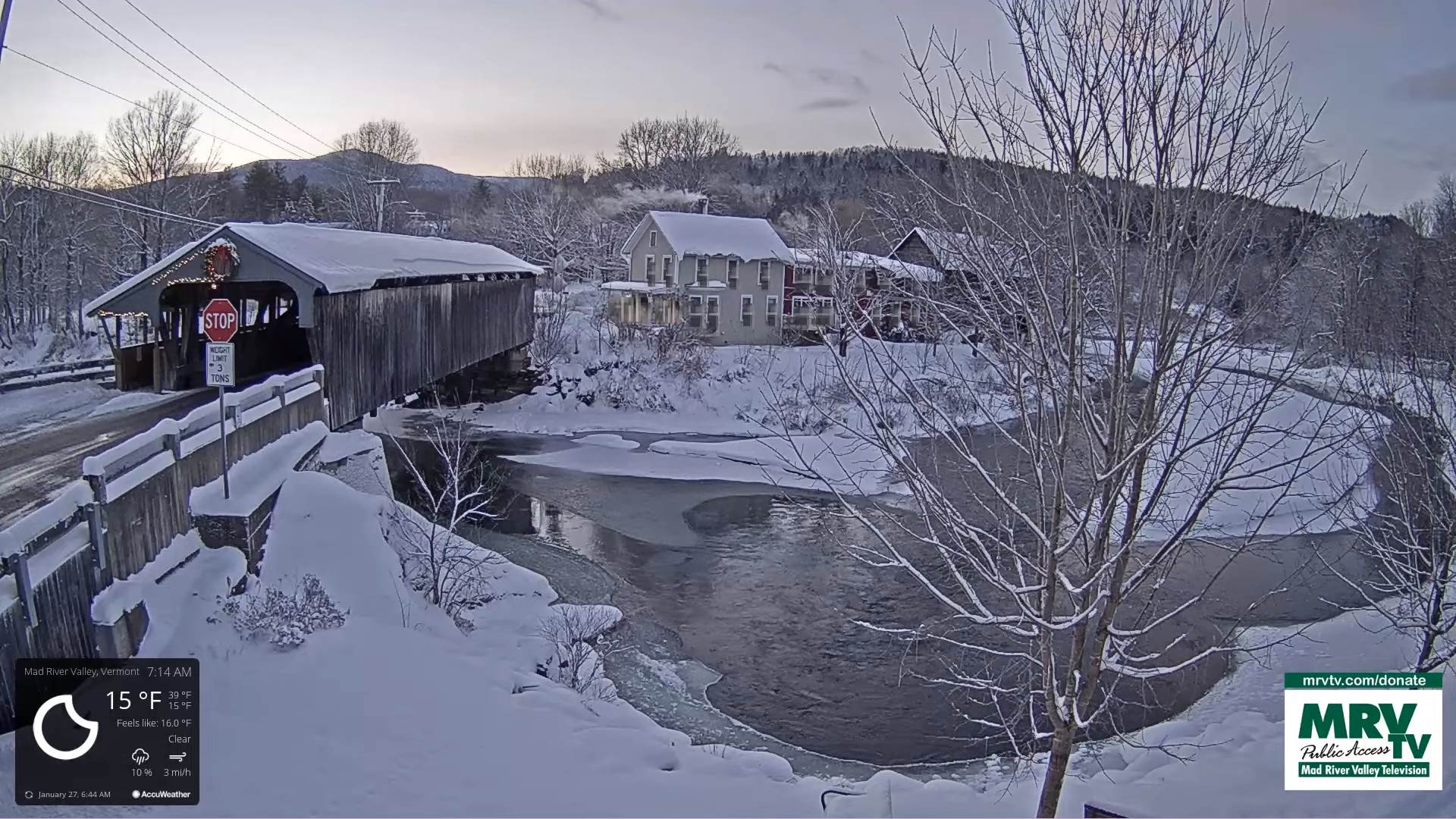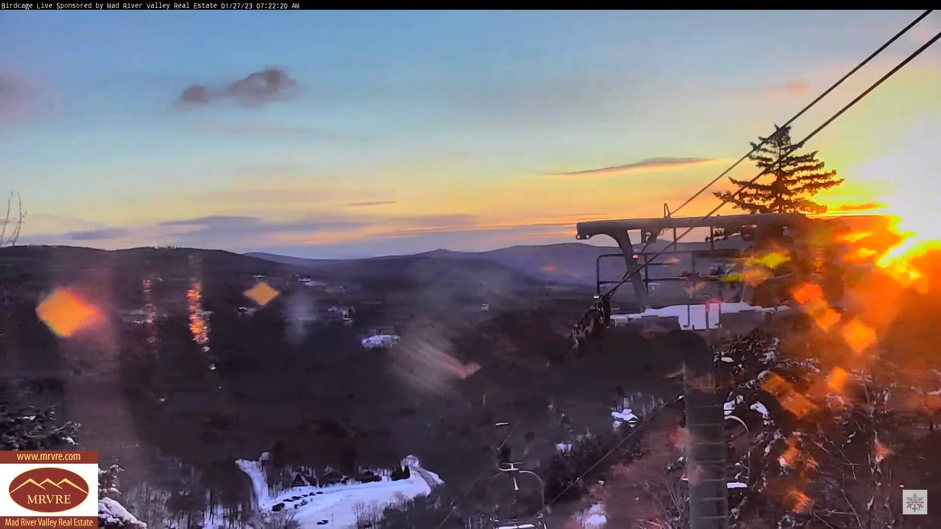
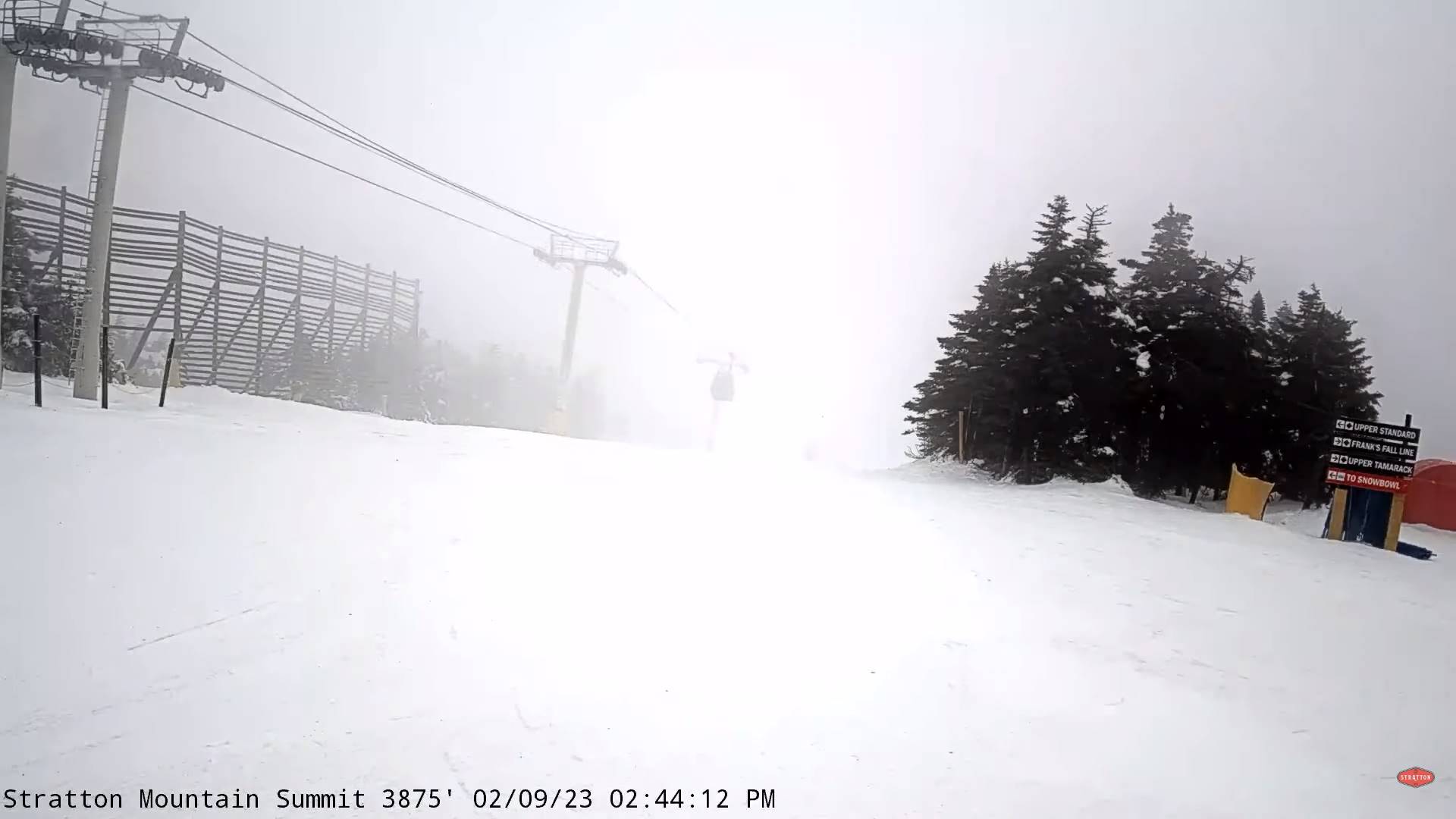
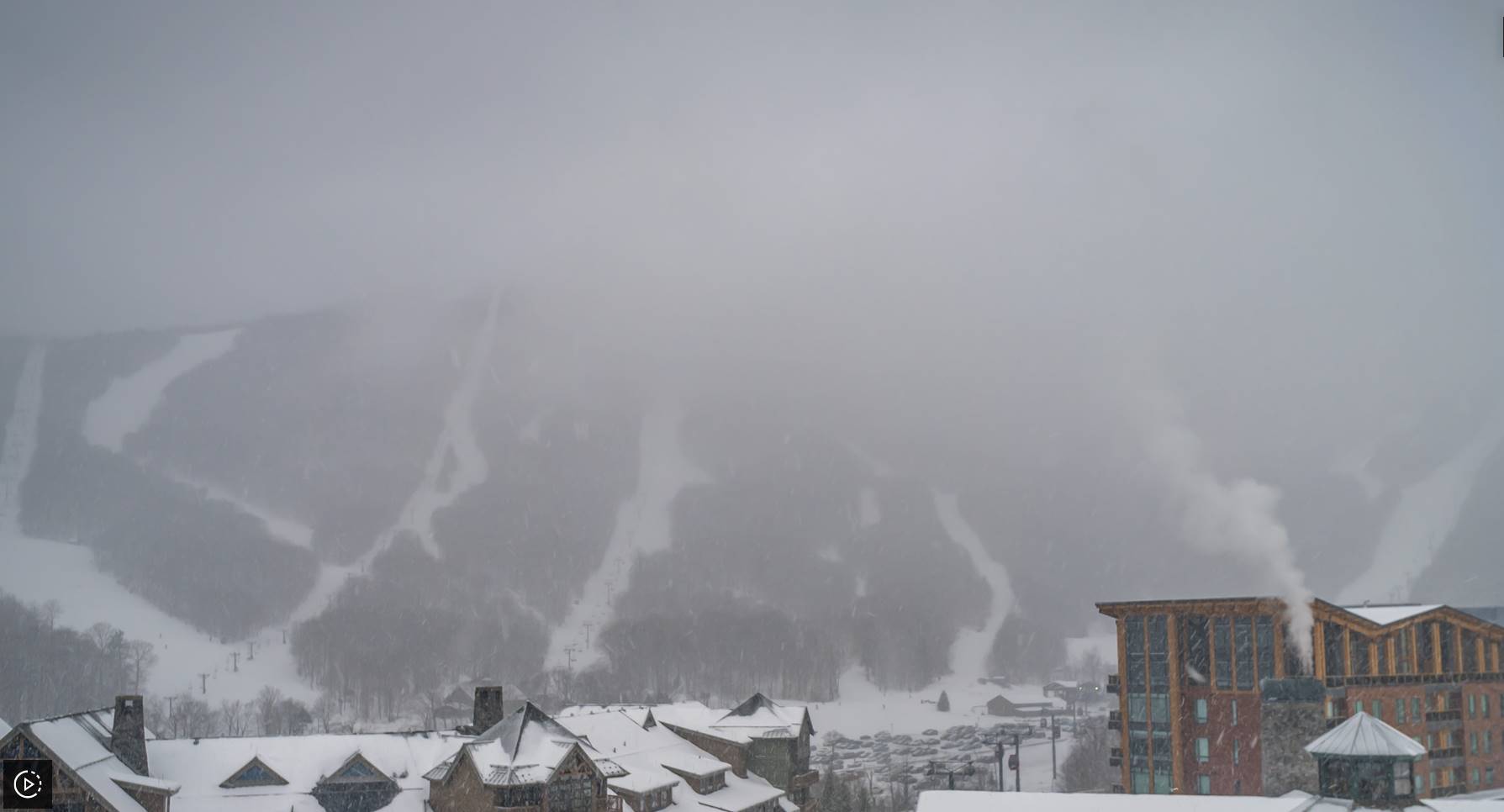
Winter Weather Advisory along and east of the Greens this afternoon thru 10 PM this evening…
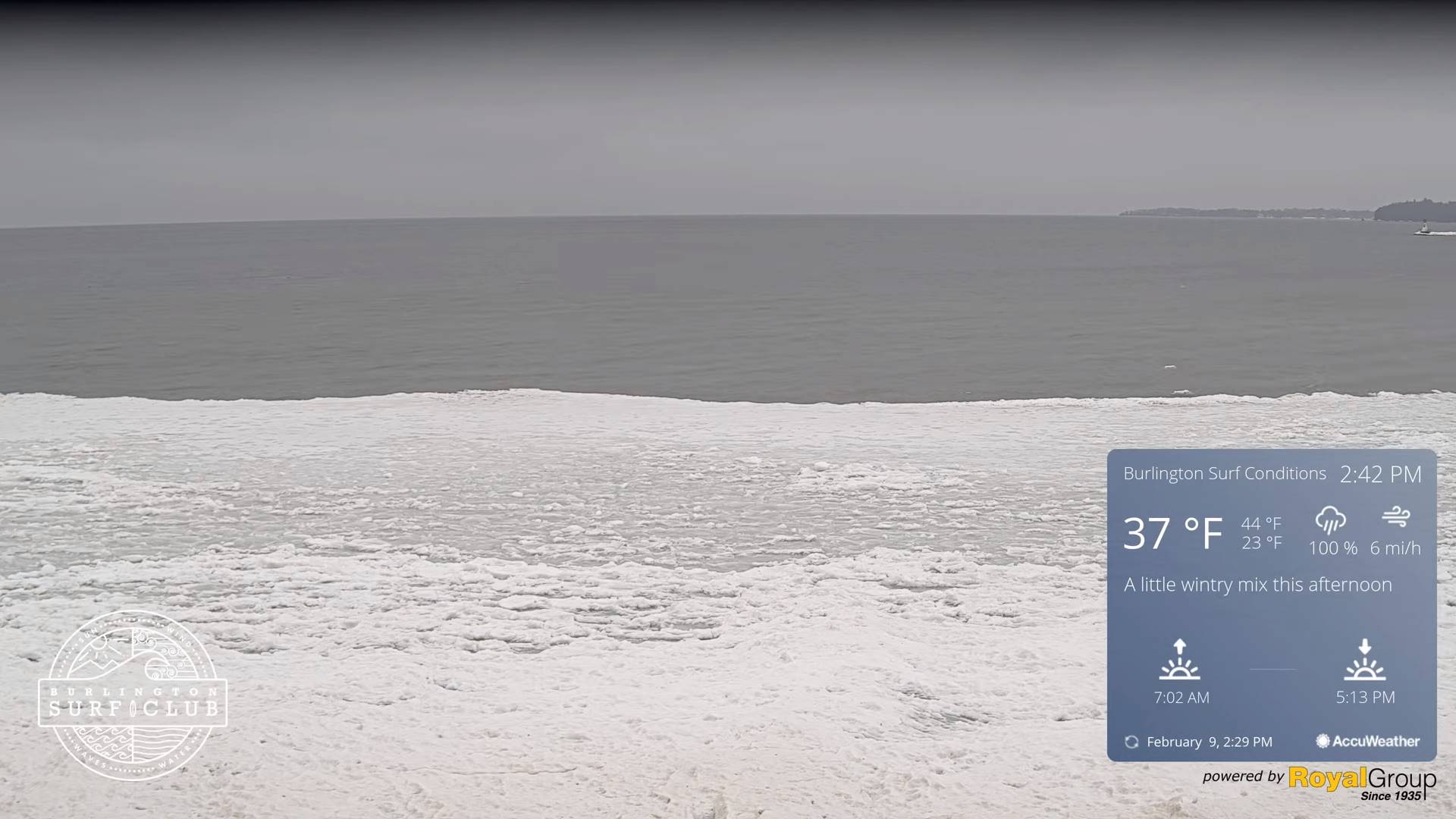
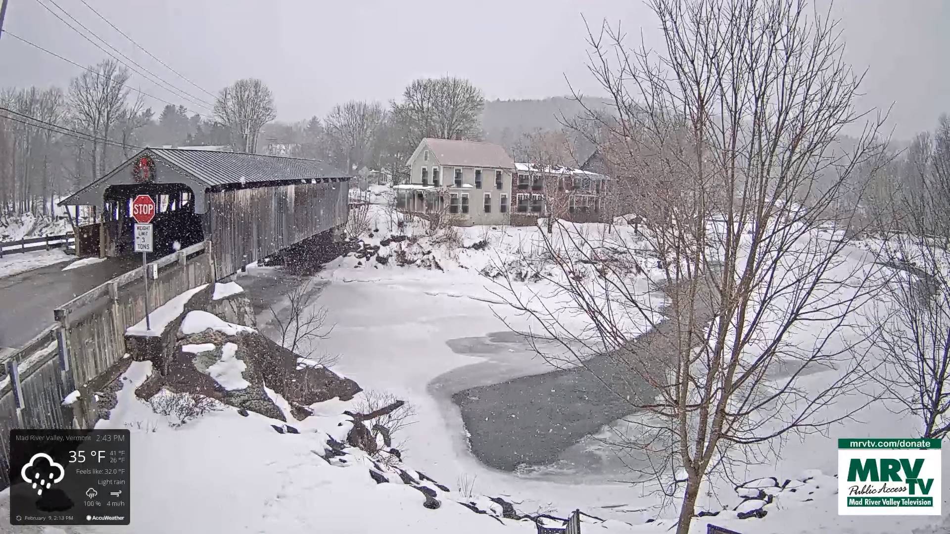
TONIGHT: Lots of clods. A wintry mix early transitioning to scattered rain showers/sprinkles. Watch for icy spots east of the Green Mountains. Temperatures rising from an evening low in the mid-30s. South to southeast winds 10 to 15 mph.
TOMORROW: Widely scattered sprinkles or light rain showers mixing with wet snowflakes northern areas later in the afternoon. Otherwise lots of clouds. Much milder and becoming breezy to windy. A high around 45. Southwest winds 10 to 20 mph.
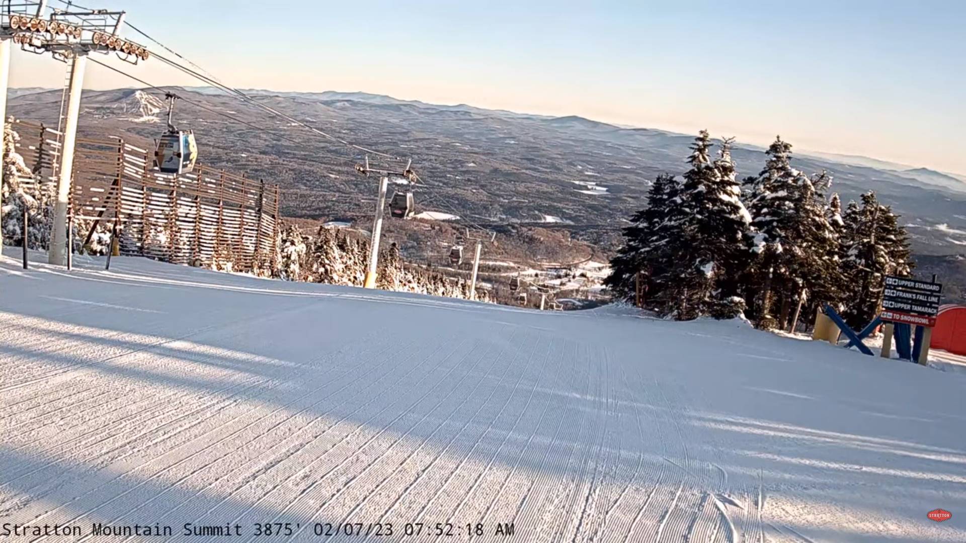
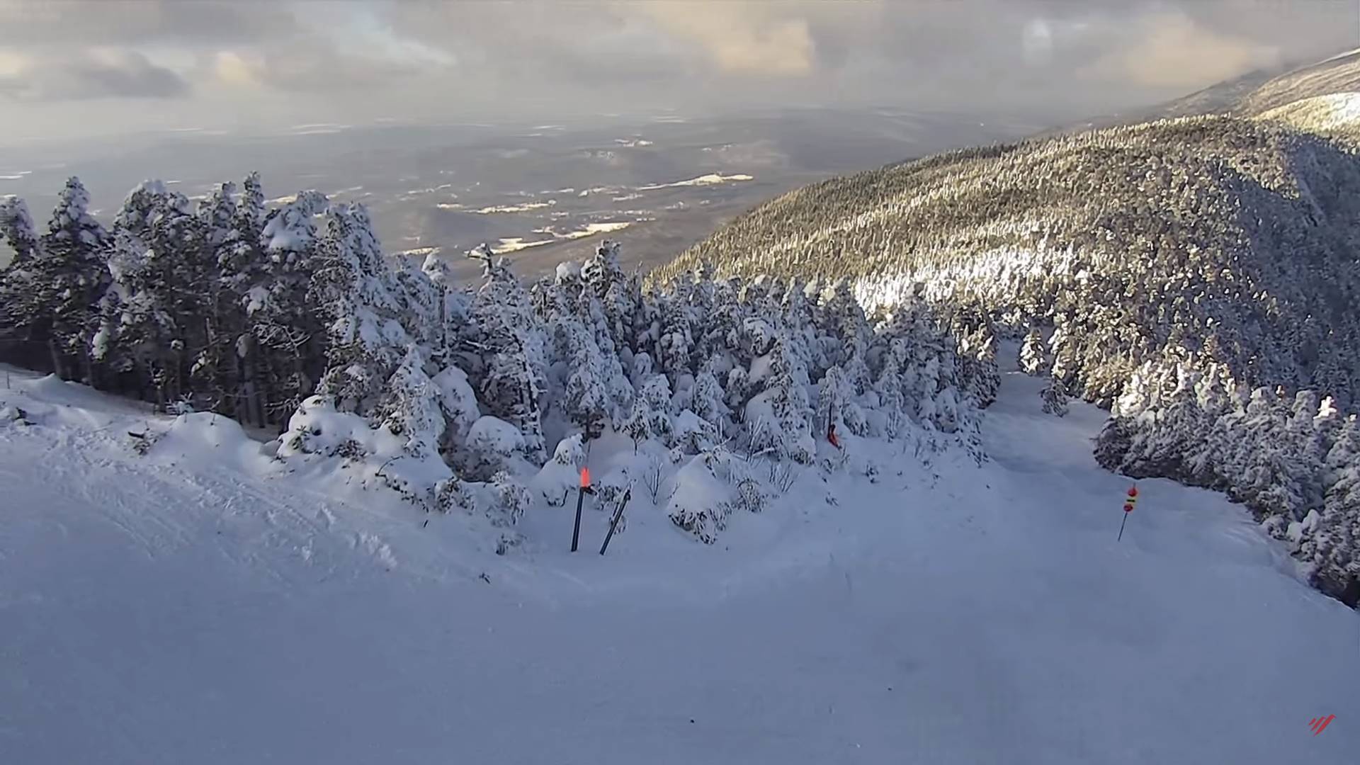
FRIDAY NIGHT: Mainly cloudy & continued blustery. Mountain snow showers and valley flurries likely, with a light coating northern areas. A low 20 to 25. Winds becoming west to northwesterly 10 to 20 mph.
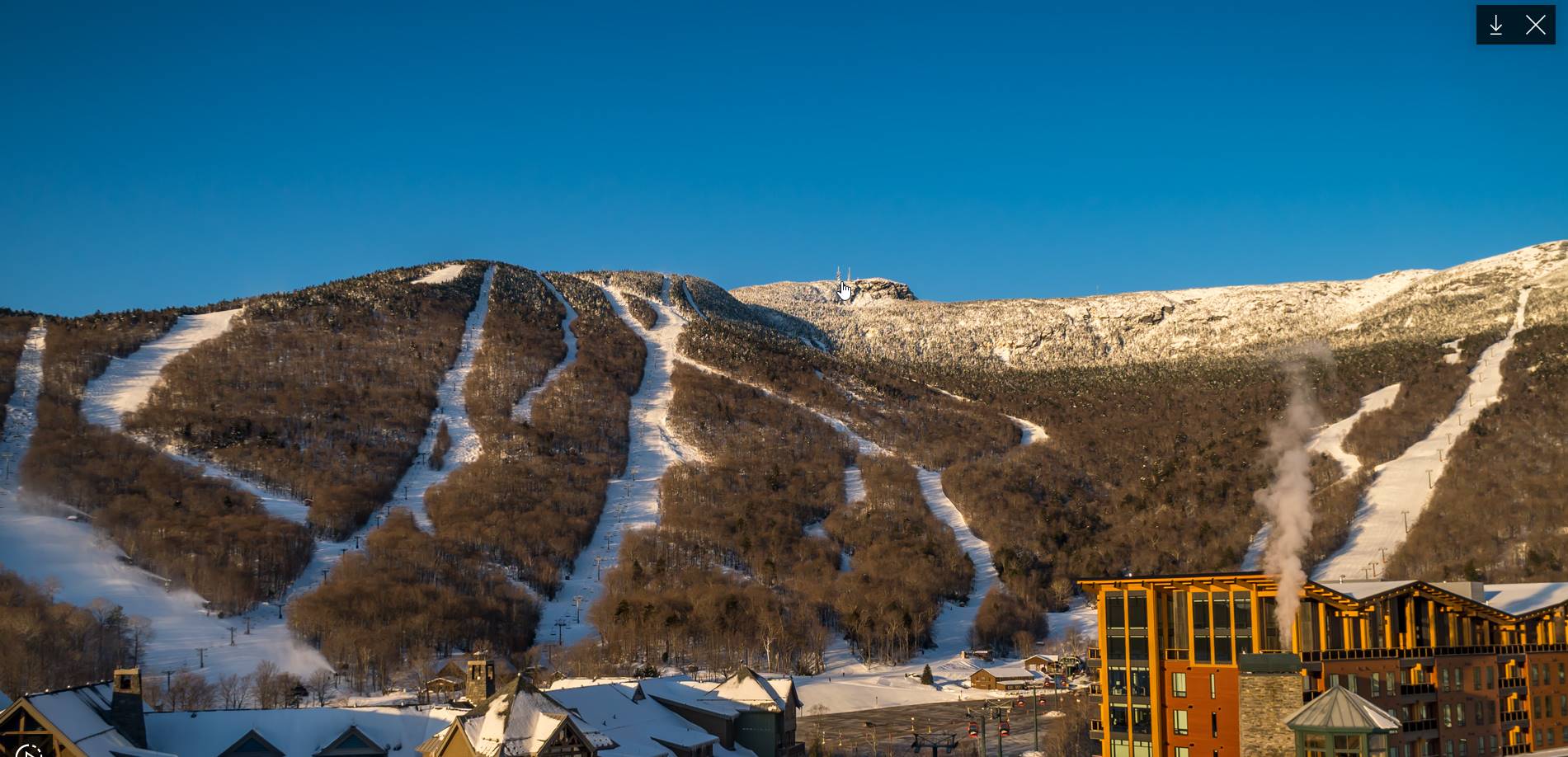
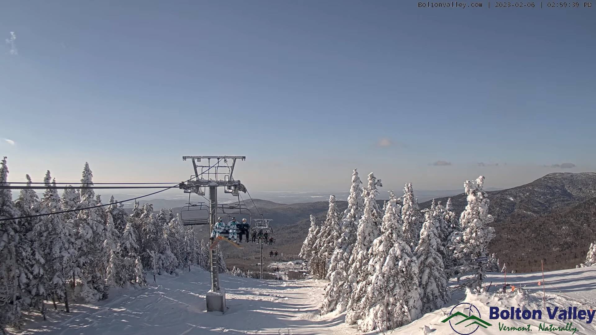
SATURDAY: Lots of clouds maybe a morning flurry. Sunshine developing late morning on. Colder with a high in the upper 20s. Blustery northwest winds 10 to 20 mph early then falling off.
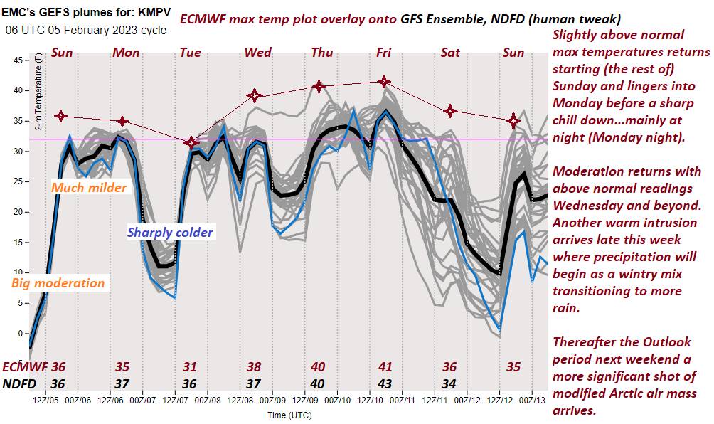
Looking further ahead
SATURDAY NIGHT: Mostly clear & colder Lows 5 to 15.
SUNDAY: Lots of sunshine with some high cloudiness southern areas. Highs mid-30s far north to around 40 otherwise.
MONDAY: Sunshine filtered thru high clouds. Lows upper teens to low 20s. A high upper 30s to around 40.
TUESDAY: Morning clouds with scattered flurries. Increasing afternoon sun. A low in the mid-20s. A high in the lower 40s.
Average lows upper digits to low teens. Average highs upper 20s to mid-30s.
Climatological winter ends March 9th…
RH/2-9forecast][end]