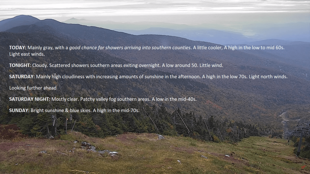
TONIGHT: Brightly moonlit clouds with light showers south of the Barre-Montpelier area…exiting overnight with partial clearing northwestern areas. A low upper 40s to around 50. Little wind.
TOMORROW: High overcast gives way to increasing sun in the afternoon. A high in the low 70s. Light north winds.
SATURDAY NIGHT: Clear & moonlit. Patchy valley fog southern areas.A low in the mid 40s. Light north winds.
SUNDAY: Lots of sunshine with a couple afternoon clouds. A high in the mid 70s. Light north winds.
Looking further ahead
SUNDAY NIGHT: Mostly clear & partially moonlit with some high clouds.A low in the upper 40s.
MONDAY: Sunshine with few high clouds. A high 70 to 75.
TUESDAY: Lots of sunshine with a few clouds northern regions. A low 50 to 55. A high around 75.
WEDNESDAY: Mostly sunny and warm late summer-like highs. A low 50 to 55. A high 75 to 80.
Average lows upper 30s to mid 40s. Average highs 60 to 65.
Admin: off Monday and Tuesday back Wednesday
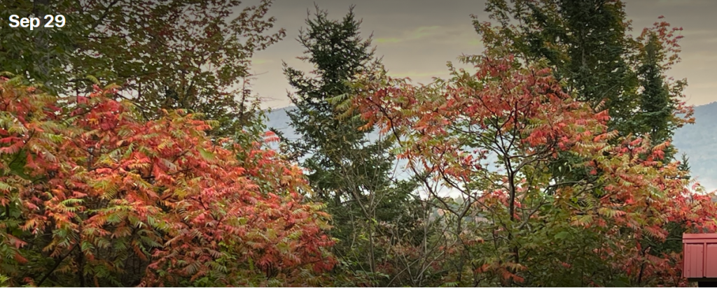
RH/9-29 forecast][end]