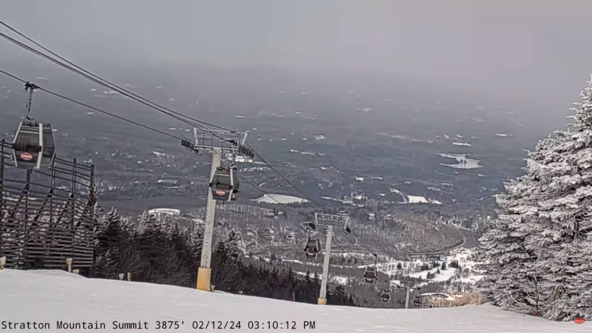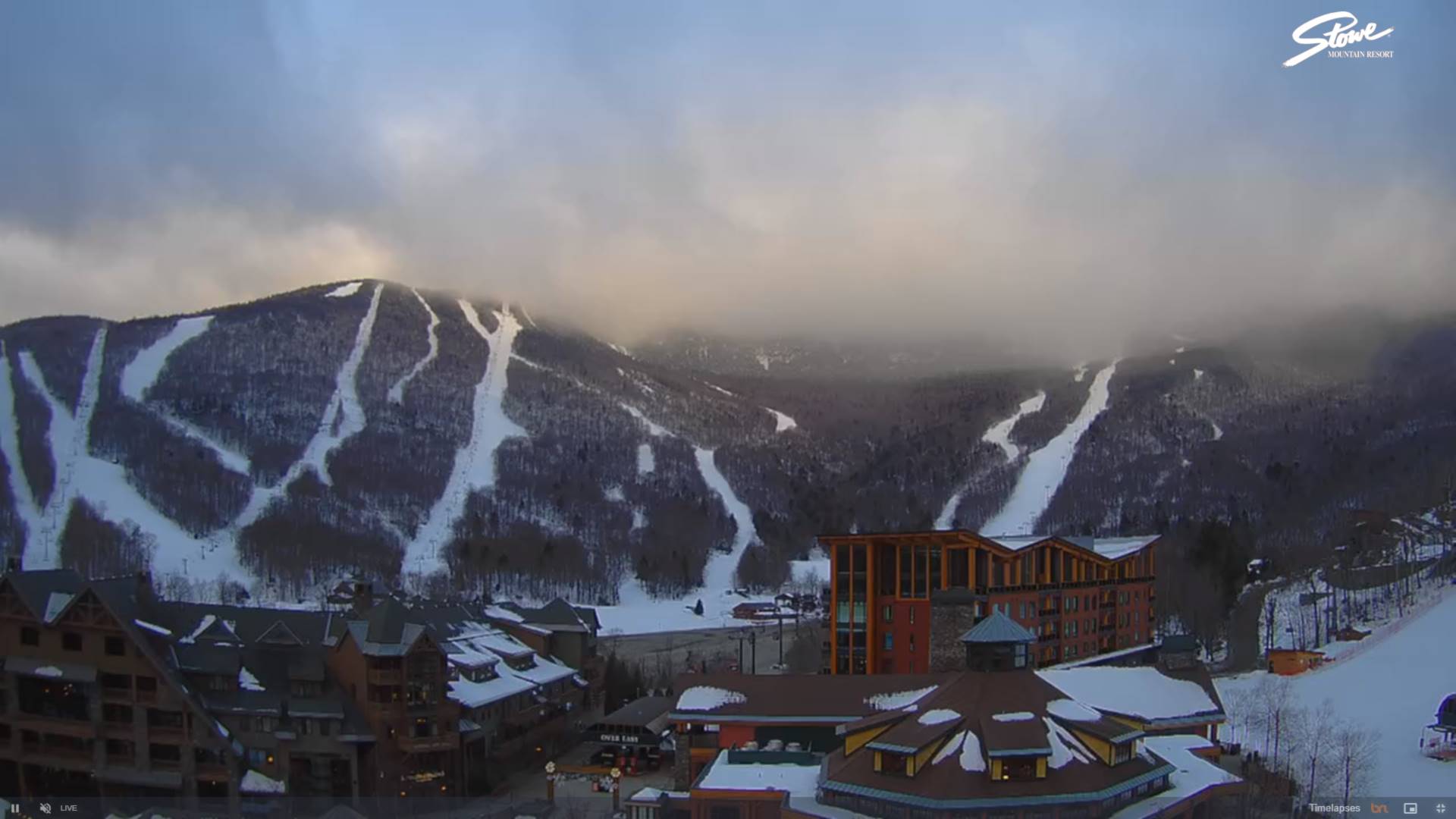
TONIGHT: Partly cloudy early then lots of clouds. Light snow showers or flurries developing late this evening. A light coating of snow.A low around 15. Light northwest winds increasing to 10 to 15 mph late.
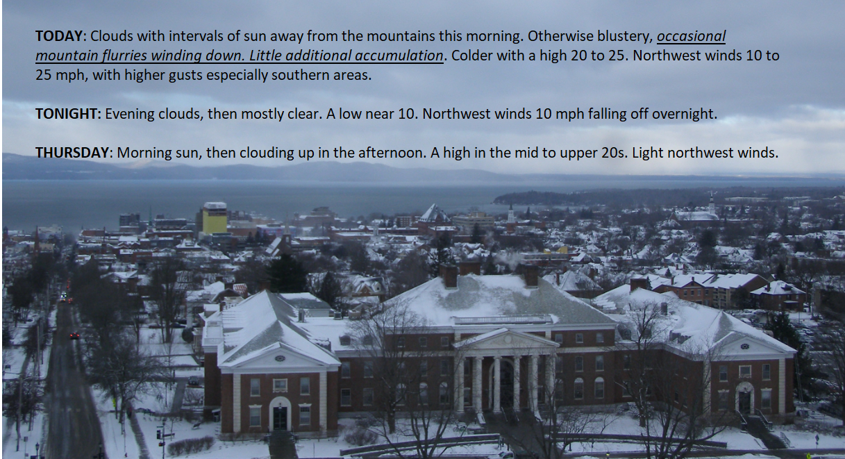
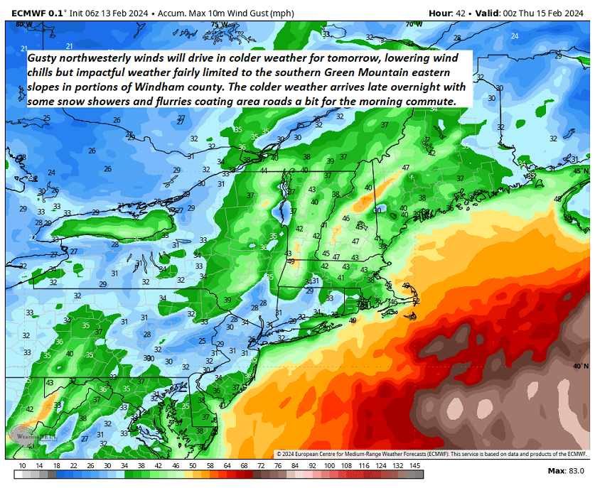
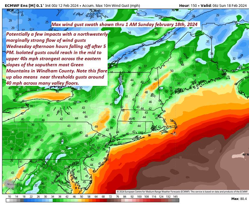
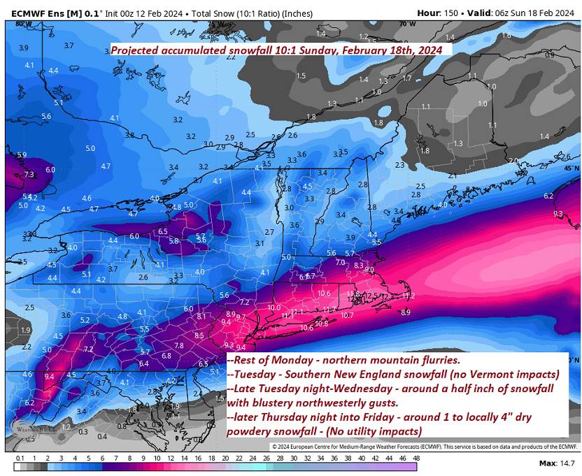
TOMORROW: Mountain snow showers winding down to occasional flurries with up to an inch of accumulation. Blustery and much colder. A high in the lower 20s. Northwest winds increasing to 10 to 25 mph, with higher gusts southern areas.
WEDNESDAY NIGHT: Evening clouds, then mostly clear. A low 5 to 15 above. Northwest winds 10 mph lowering wind chills.

THURSDAY: Morning sun, then clouding up in the afternoon. A high in the mid-20s. Light northwest winds.
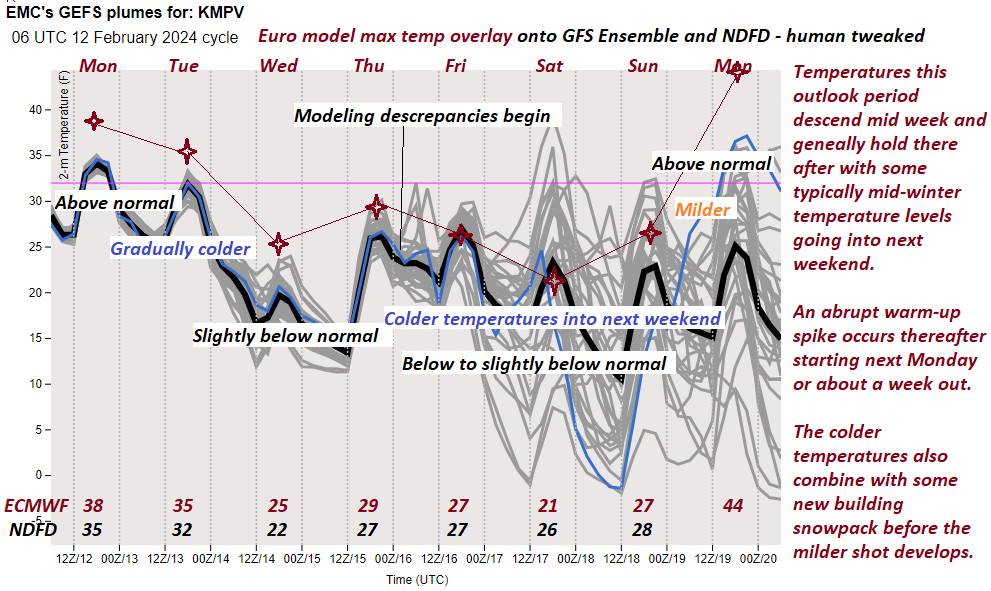
Looking further ahead
THURSDAY NIGHT: Thickening clouds, leading to a good chance for light snow. A low in the lower 20s.

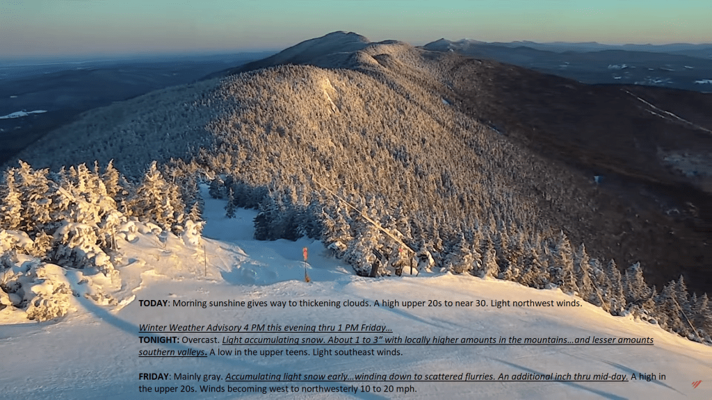
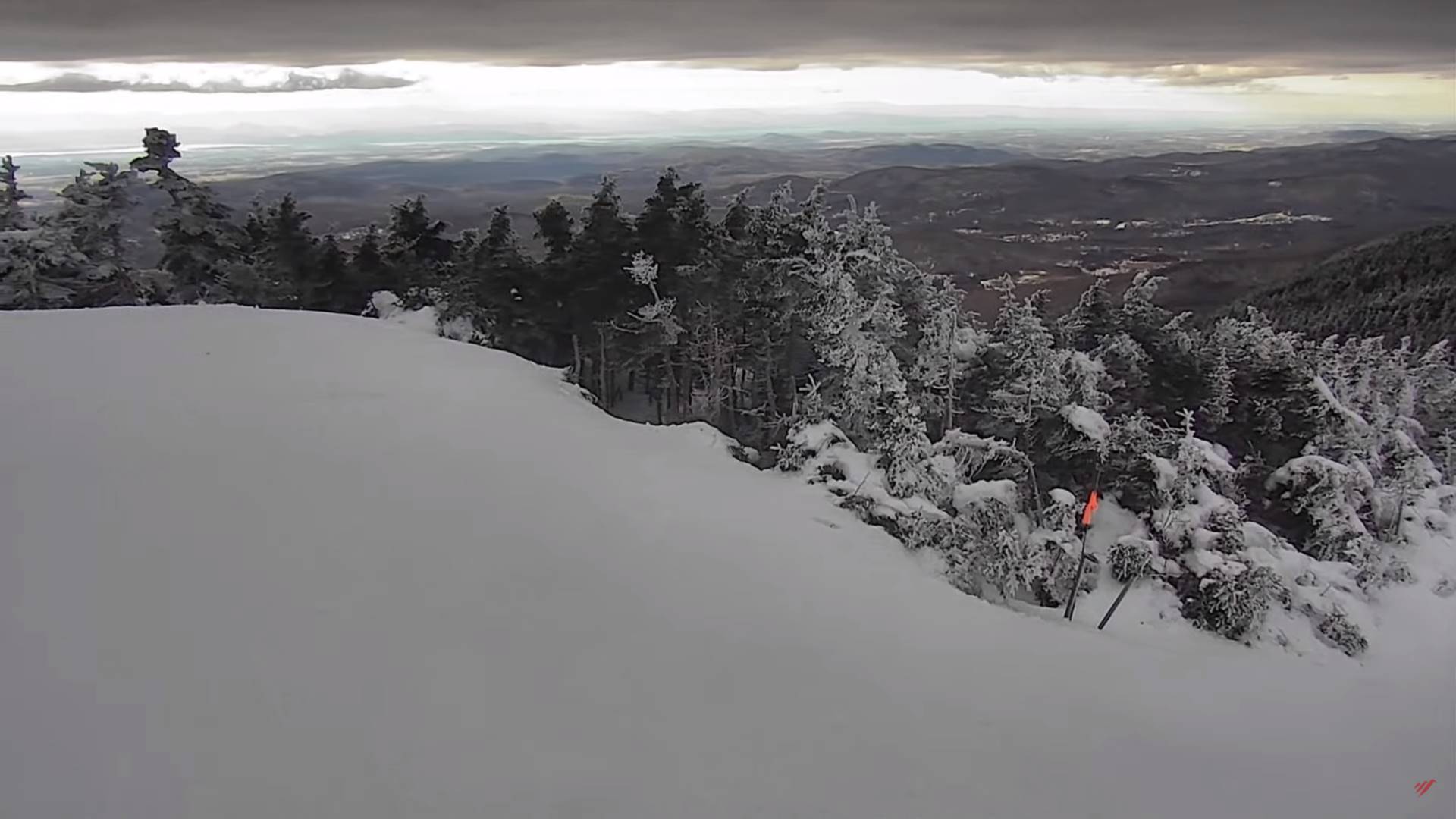
FRIDAY: Mainly gray. Chance for accumulating snow in the morning, winding down to scattered flurries. Accumulations of 1 to locally 4”. A low upper teens. A high in the mid-20s.
SATURDAY: Partly to mostly cloudy. Widely scattered flurries. A low in the mid-teens. A high 20 to 25.
SUNDAY: Sunshine giving way to afternoon clouds. A low zero to 5 above. A high around 25.
Average lows mid-single digits to mid-teens. Average highs upper 20s to mid-30s.
RH/2-13forecast][end]