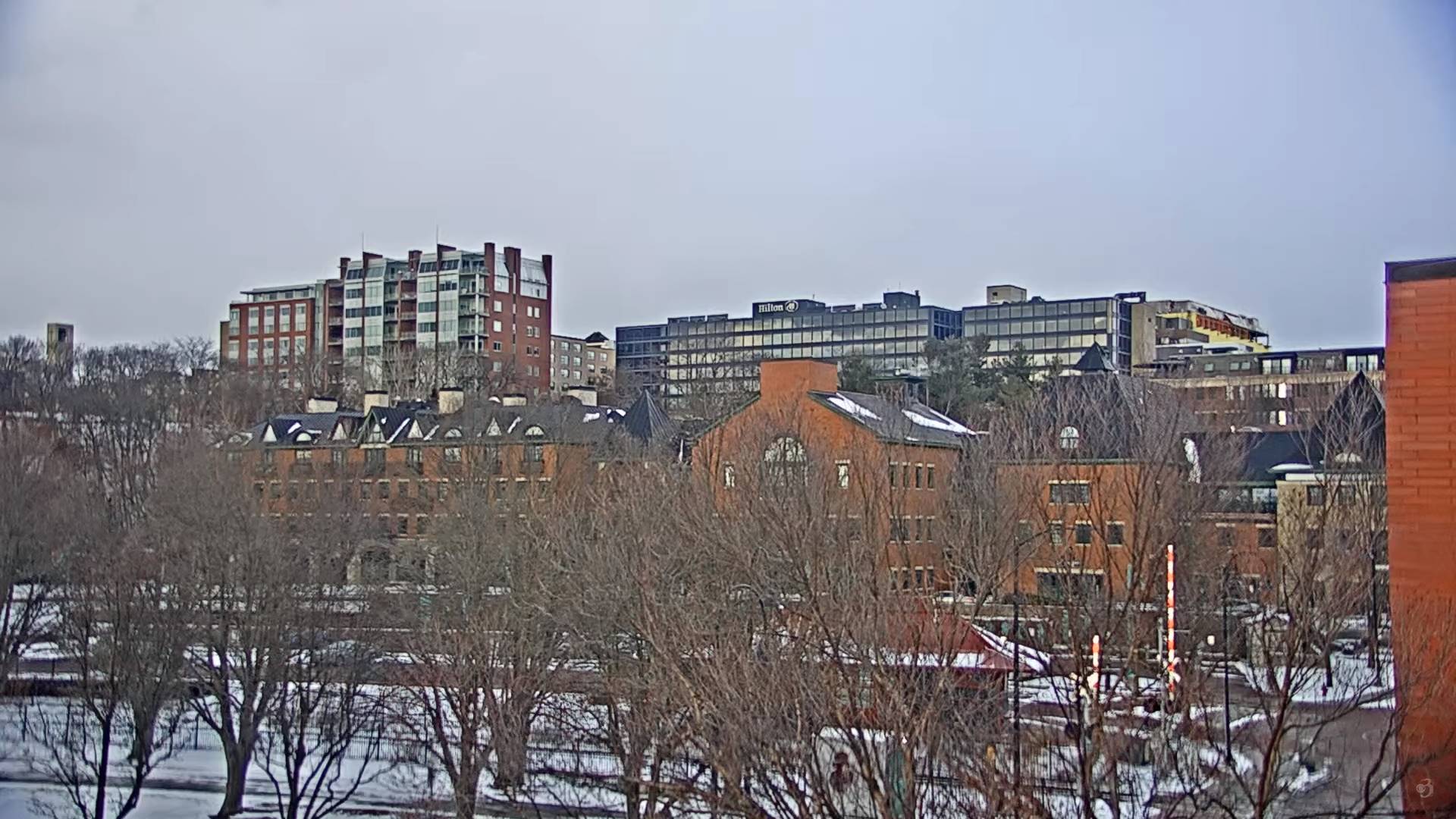
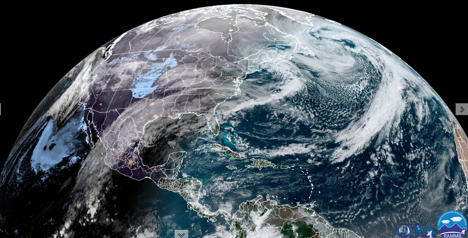
Cloudiness stretches east of Lake Huron Georgian Bay region all the way into Vermont. These clouds will make for more gray conditions while to the south, the sun will be shining brightly. The clouds push back into Canada tonight and tomorrow.

TONIGHT: Clear skies with a few more clouds toward daybreak. A low 5 below to 5 above. Light northwest winds.
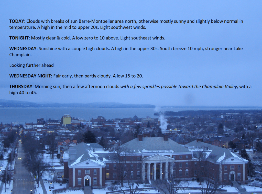
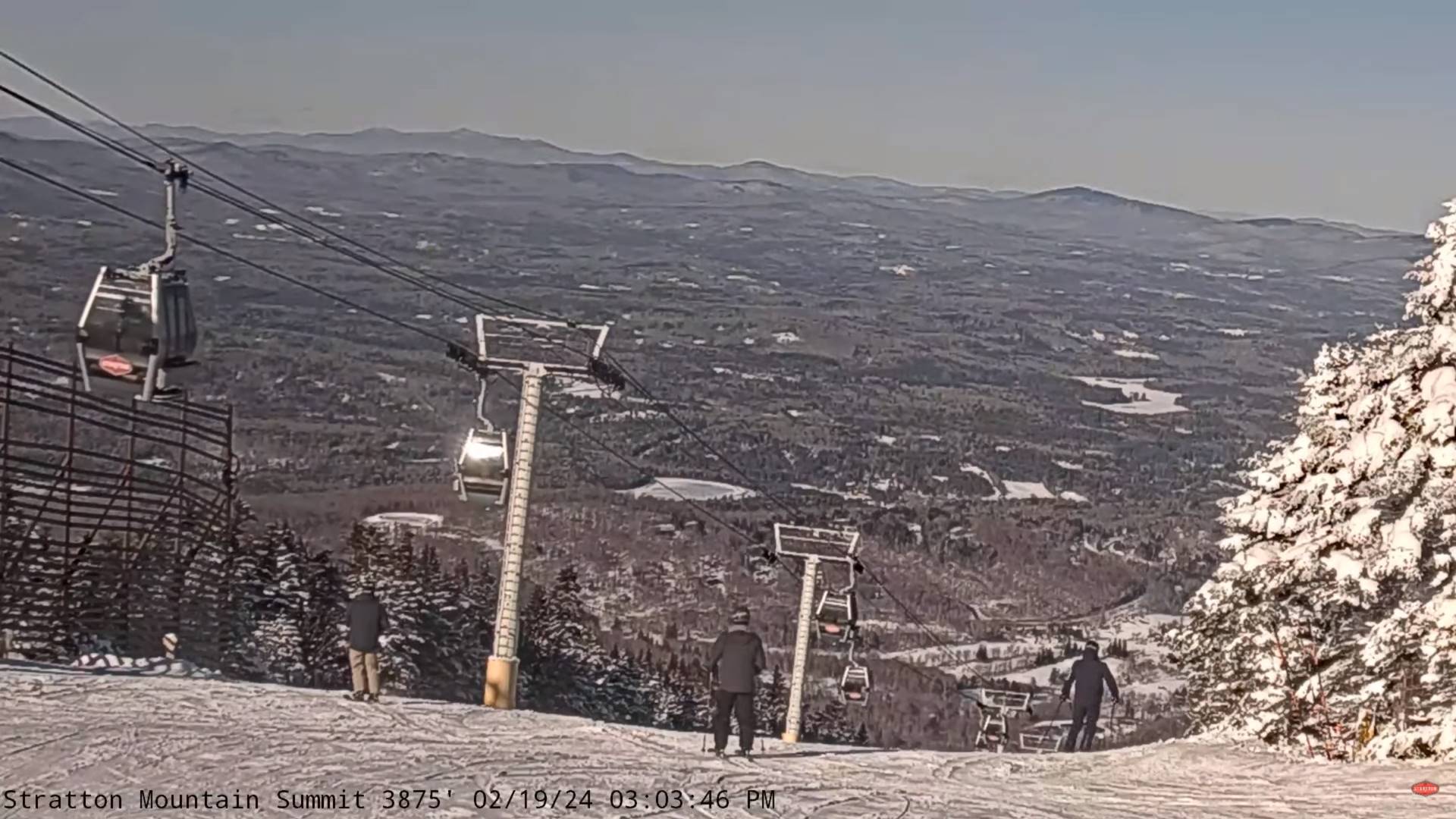
TOMORROW: Northern mountain cloudiness, otherwise sunny. A high in the upper 20s. Light southwest winds.
TUESDAY NIGHT: Mostly clear with a few high clouds.A low zero to 10 above. Light southeast winds.
WEDNESDAY: Sunshine with variable high clouds. A high in the upper 30s near 40. South breeze 10 mph, stronger near Lake Champlain.
Looking further ahead
WEDNESDAY NIGHT: Fair early, then partly cloudy.A low in the upper teens
THURSDAY: Variable cloudiness. Maybe a few flurries or sprinkles toward the Champlain Valley, with a high in the low 40s.
FRIDAY: Gray. Scattered showers of wet snow mixed with rain drops valley floors. A low in the upper 20s. A high upper 30s.
SATURDAY: Chance for a few snow showers or squalls early, otherwise increasing sunshine, blustery and sharply colder. A low in the mid to upper teens. Temperatures in the mid to upper teen
Average lows mid-single digits to mid-teens. Average highs in the low to mid 30s
RH/2-19forecast][end]

TODAY: Northern Mountain clouds with isolated flurries…gives way to increasing sunshine. A high 15 to 20. Northwest winds 10 mph.
TONIGHT: Clear skies with a few more clouds toward daybreak. A low zero 10 below. Light northwest winds.
TUESDAY: Northern mountains cloudiness, otherwise mostly sunny. A high in the upper 20s. Light west winds.

Looking further ahead
TUESDAY NIGHT: Mostly clear with a few high clouds.A low 5 to 15 above.
WEDNESDAY: Sunshine with a few high clouds. A high upper 30s to around 40.

THURSDAY: Variable cloudiness. A rising chance for a few flurries or sprinkles toward the Champlain Valley. A low in the upper teens, with a high in the low 40s.
FRIDAY: Considerable cloudiness. Scattered showers of wet snow, freezing rain or rain northern and western areas. A low in the upper 20s to around 30. A high in the low 40s.

Average lows mid-single digits to mid-teens. Average highs in the low to mid 30s
RH/2-19forecast][end]

TONIGHT: Considerable cloudiness. Scattered mountain flurries. A low around 15. Light southwest winds.
TOMORROW: Lingering flurries or periods of light accumulating snow. A dusting to an inch accumulation. Otherwise cloudy with some late day breaks. A high in the mid-20s. Northwest winds 10 mph.
SATURDAY NIGHT: Becoming mostly clear.A low zero to 10 above. Light northwest winds.
SUNDAY: Partly sunny early, then lots of clouds with scattered mountain flurries. A high in the mid to upper 20s. South to southwest winds 10 to 15 mph.

Looking further ahead
SUNDAY NIGHT: Mostly cloudy. Rising chance for scattered flurries. A low 10 to 15.
MONDAY: Chance for light accumulating snow showers or flurries in the morning with about an inch, partial afternoon clearing. A high near 25.
TUESDAY: Partly to mostly sunny. A low zero to 5 above. A high around 30.
WEDNESDAY: Partly to mostly sunny. A low in the mid-teens. A high around 45.
Average lows mid-single digits to mid-teens. Average highs upper 20s to mid-30s.
RH/2-15forecast][end]
Winter Weather Advisory expires toward mid-day
TODAY: Accumulating light snow northern areas early with up to an inch additional accumulation, otherwise scattered flurries and becoming blustery. A high about 25. Winds becoming west to northwesterly 10 to 25 mph.
TONIGHT: Considerable cloudiness. Scattered flurries with minor accumulation. A low around 15. Light southwest winds.
SATURDAY: Lingering flurries. Otherwise, a few breaks of afternoon sunshine. A high in the mid-20s. Northwest winds 10 mph.
Looking further ahead
SATURDAY NIGHT: Becoming mostly clear.A low zero to 10 above.
SUNDAY: Sunshine giving way to afternoon clouds. A high in the mid to upper 20s.
MONDAY: Chance for light accumulating snow showers or flurries in the morning with about an inch, partial afternoon clearing. A low 10 to 15. A high near 25.
TUESDAY: Partly to mostly sunny. A low zero to 5 above. A high around 30.
WEDNESDAY: Mostly sunny. A low in the mid-teens. A high around 45.
Average lows mid-single digits to mid-teens. Average highs upper 20s to mid-30s.
RH/2-15forecast][end]
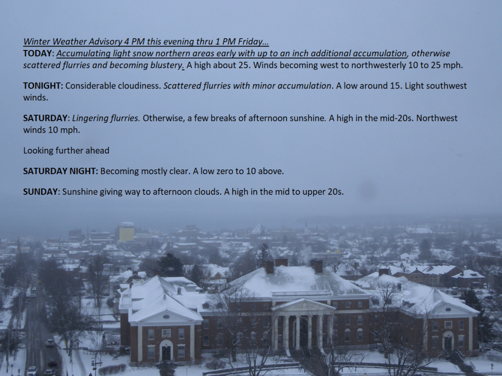

Winter Weather Advisory 4 PM this evening thru 1 PM Friday…
TONIGHT: Overcast. Light accumulating snow.About 1 to 3” with locally higher amounts in the mountains…and lesser amounts southern valleys.A low in the upper teens.Light southeast winds.
TOMORROW: Mainly gray. Accumulating light snow early…winding down to scattered flurries. An additional inch thru mid-day. A high about 25. Winds becoming west to northwesterly 10 to 20 mph.
FRIDAY NIGHT: Considerable cloudiness. Scattered flurries with minor accumulation. A low 10 to 15. Light southwest winds.
SATURDAY: Lingering flurries. Otherwise, a few breaks of afternoon sunshine. A high about 25. Northwest winds 10 mph.
Looking further ahead
SATURDAY NIGHT: Becoming mostly clear.A low 5 below to 5 above.
SUNDAY: Sunshine giving way to afternoon clouds. A high around 25.
MONDAY: Chance for light snow showers or flurries in the morning, partial afternoon clearing. A low 10 to 15. A high 20 to 25.
TUESDAY: Mostly sunny. A low 5 below to 5 above. A high 25 to 30.

Average lows mid-single digits to mid-teens. Average highs upper 20s to mid-30s.
RH/2-15forecast][end]

TODAY: Morning sunshine gives way to thickening clouds. A high upper 20s to near 30. Light northwest winds.
Winter Weather Advisory 4 PM this evening thru 1 PM Friday…
TONIGHT: Overcast. Light accumulating snow.About 1 to 3” with locally higher amounts in the mountains…and lesser amounts southern valleys.A low in the upper teens.Light southeast winds.
FRIDAY: Mainly gray. Accumulating light snow early…winding down to scattered flurries. An additional inch thru mid-day. A high in the upper 20s. Winds becoming west to northwesterly 10 to 20 mph.
Looking further ahead

FRIDAY NIGHT: Considerable cloudiness. Scattered flurries with minor accumulation. A low around 15.
SATURDAY: Lingering flurries. Otherwise, a few breaks of afternoon sunshine. A high around 25.
SUNDAY: Sunshine giving way to afternoon clouds. A low zero to 5 above. A high around 25.

MONDAY: Chance for light snow showers or flurries in the morning, partial afternoon clearing. A low around 15. A high in the upper 20s to around 30.
TUESDAY: Mostly sunny. A low 5 below to 5 above. A high around 30.
Average lows mid-single digits to mid-teens. Average highs upper 20s to mid-30s.

RH/2-15forecast][end]
