
Test
Author Archives: Weathering Heights
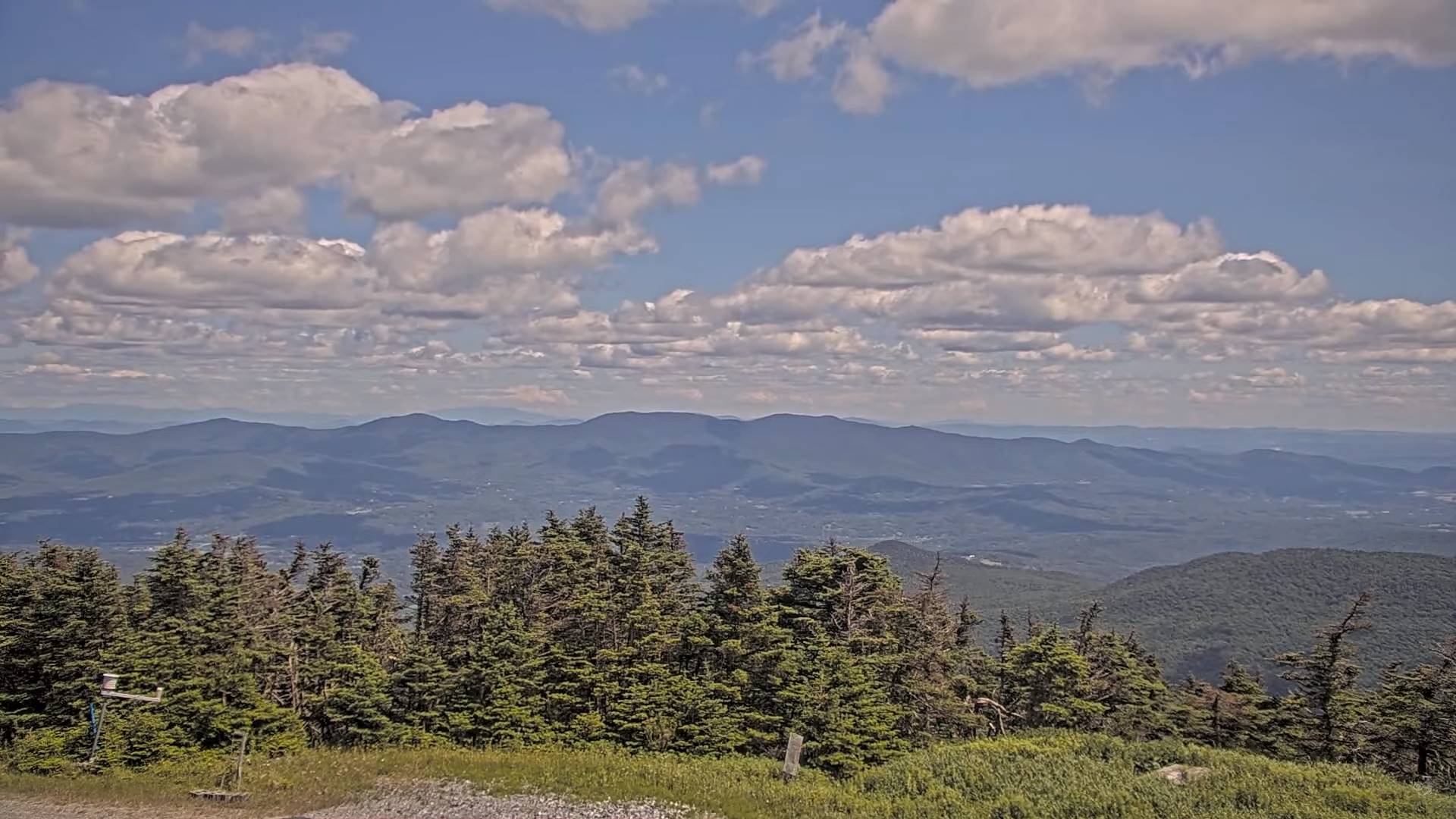
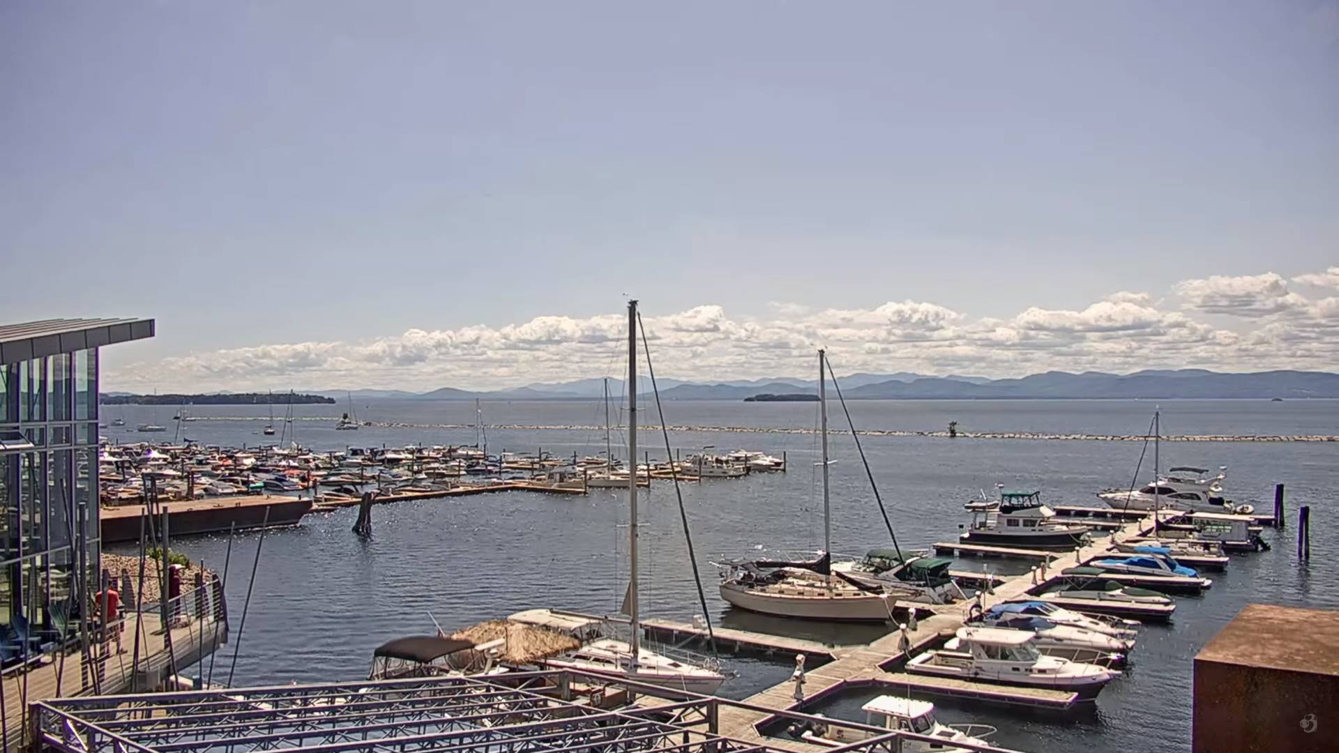
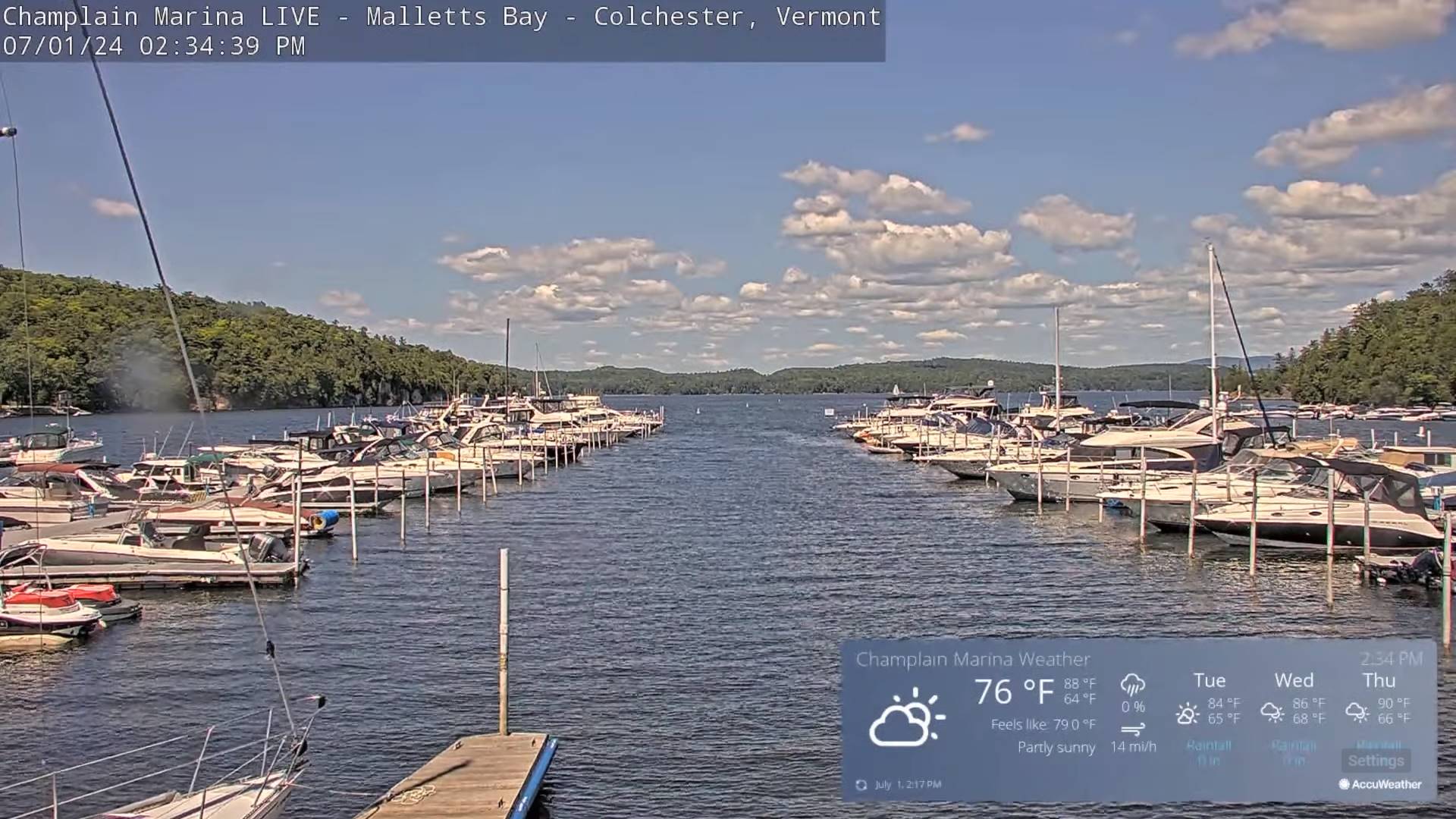
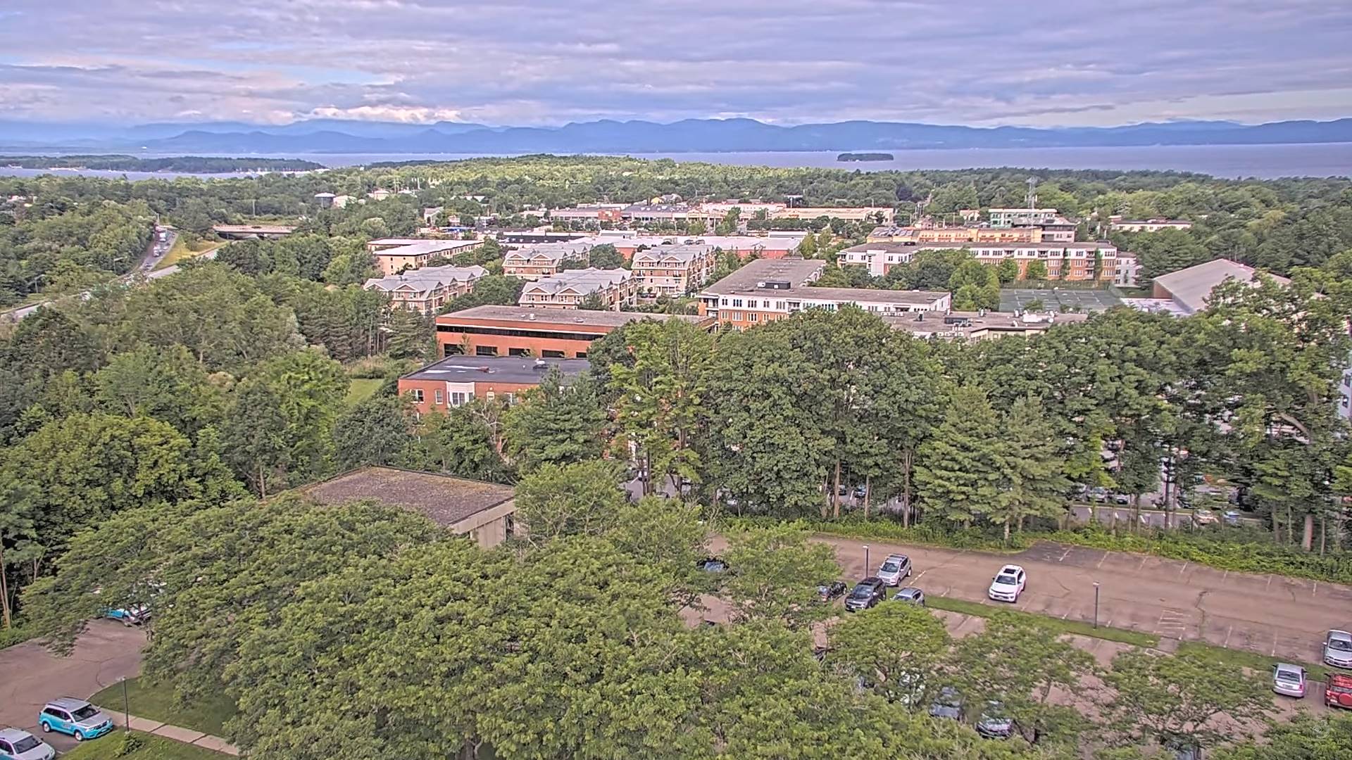
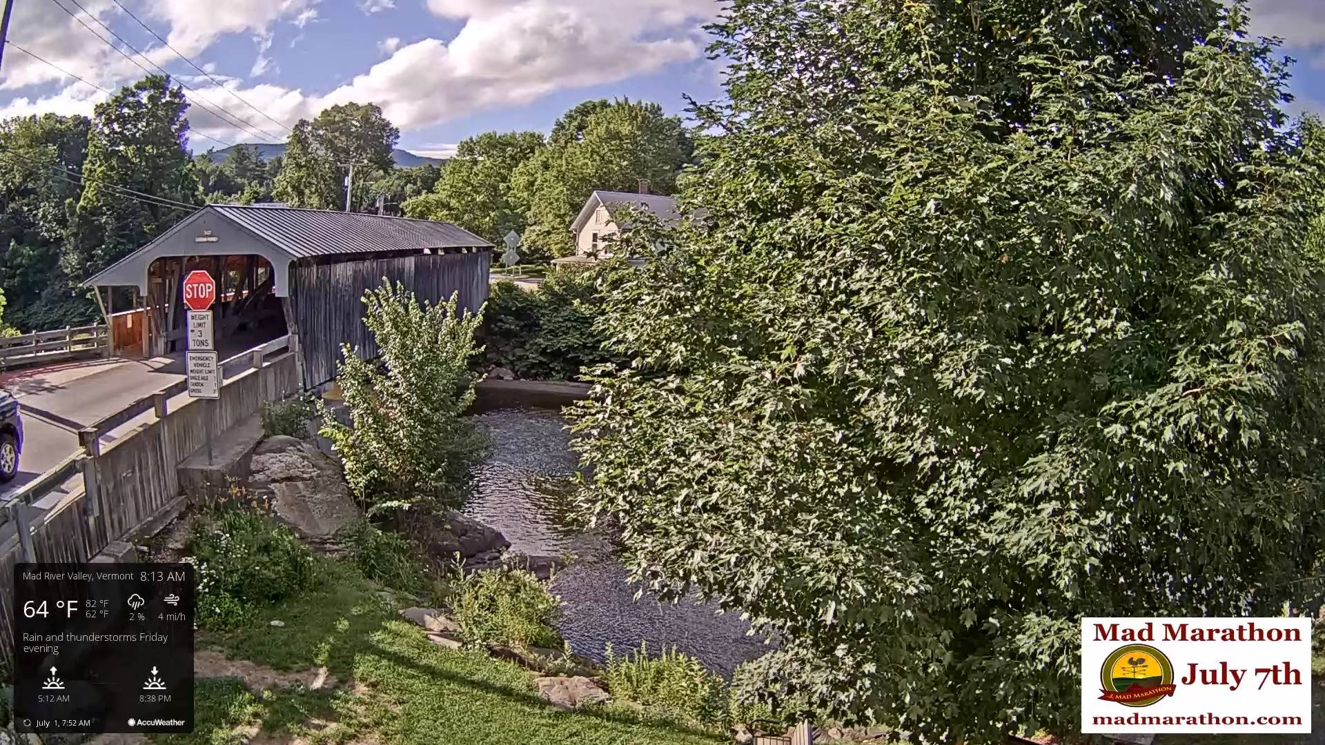
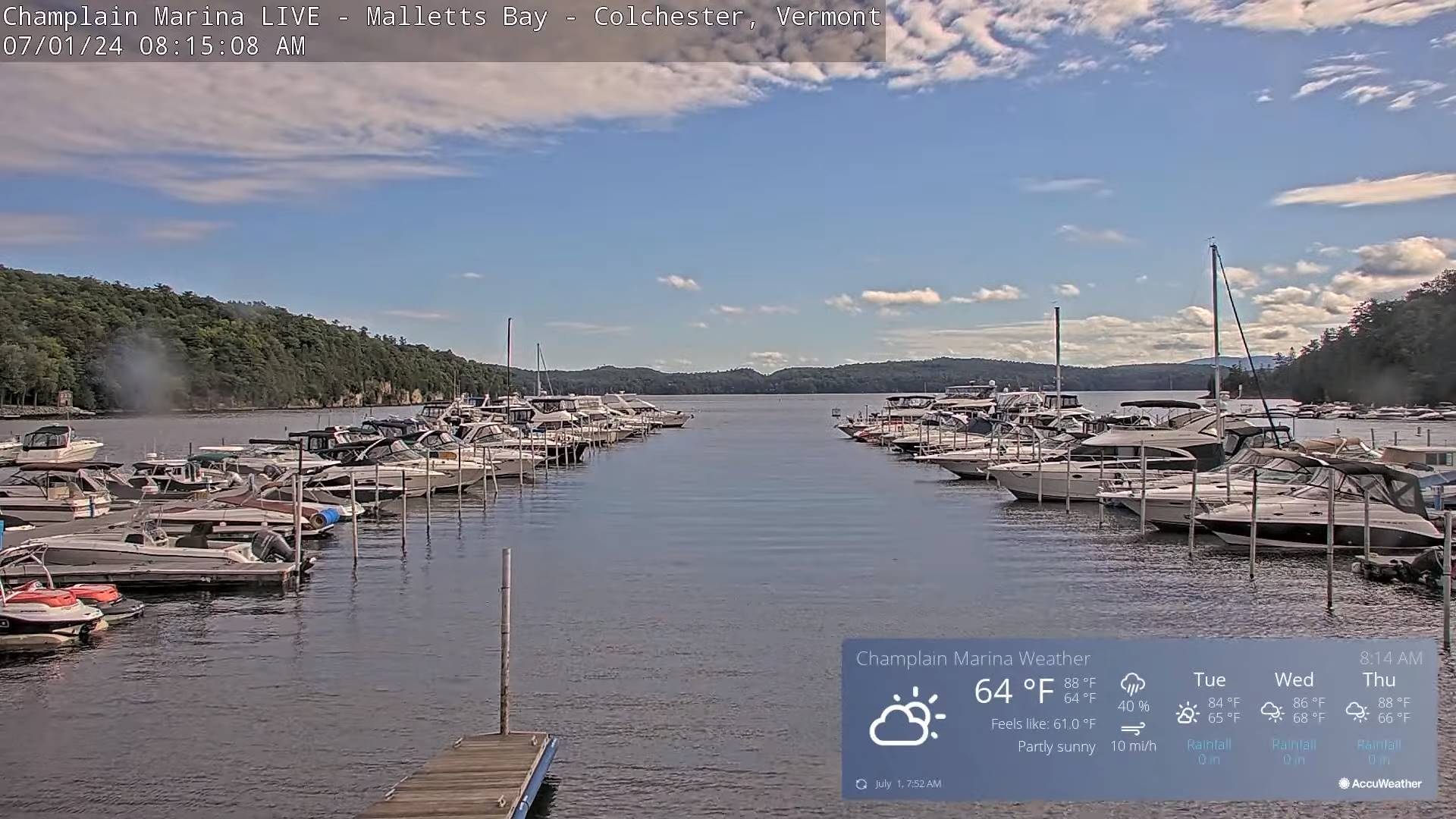
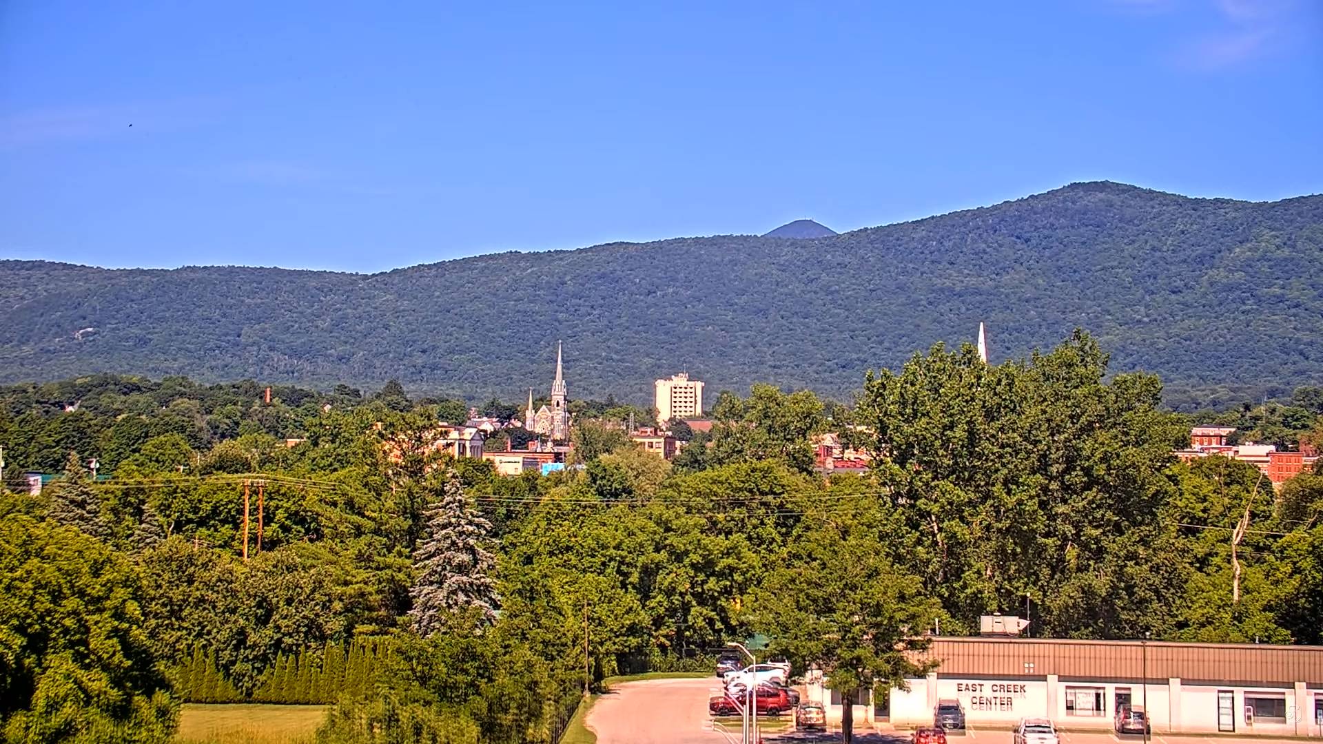
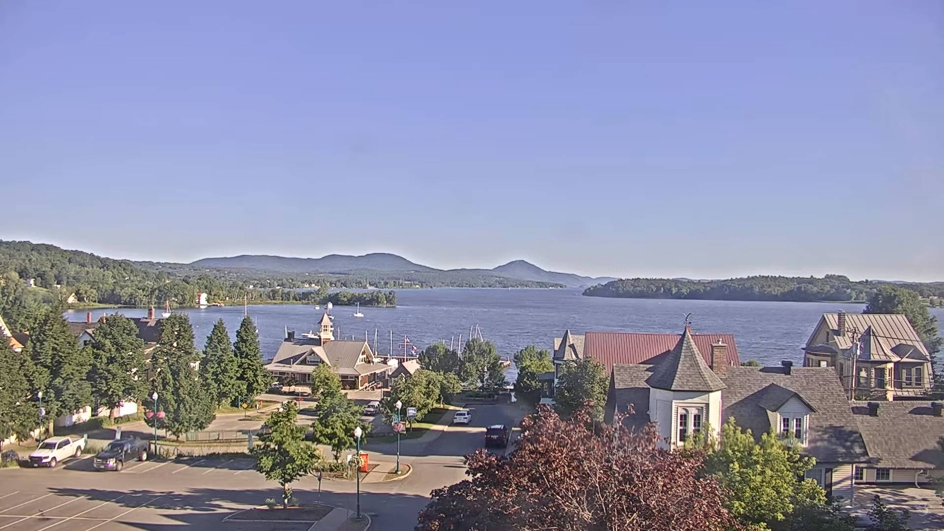
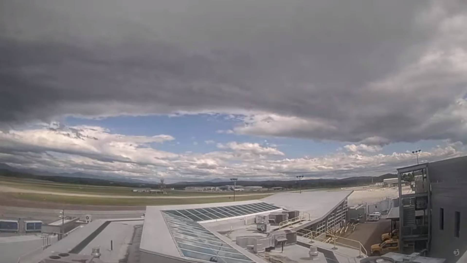
Updated Monday night Forecast — July 1st, 2024
TONIGHT: Clear skies.A low in the low 50s.Little wind.
TUESDAY: Lots of sunshine with a few high clouds. A high 75 to 80. Light northwest winds.
TUESDAY NIGHT: Fair skies with high cloudiness. A low mid to upper 50s. Light southeast winds.
WEDNESDAY: More clouds than sun in the morning then partly to mostly sunny. A high upper 70s near 80. South to southwesterly breeze 10 to 15 mph…stronger near Lake Champlain.
Looking further ahead
WEDNESDAY NIGHT: Cloudy periods. Scattered showers and isolated rumbles of thunder developing toward midnight, exiti
ng before daybreak. A low in the upper 60s.
THURSDAY Independence Day: Some leftover morning clouds, then partly to mostly sunny. Muggy and warm, a high 80 to 85.
FRIDAY: Some morning clouds, then mostly sunny. Slight chance for an afternoon shower or thunderstorm. A low around 65. A high near 85
SATURDAY: Variable clouds. Scattered mainly afternoon showers and thunderstorms. A low 65 to 70. A high 80 to 85.
Average lows low to mid 50s. Average high upper 70s to lower 80s
RH/7-1forecast][end]
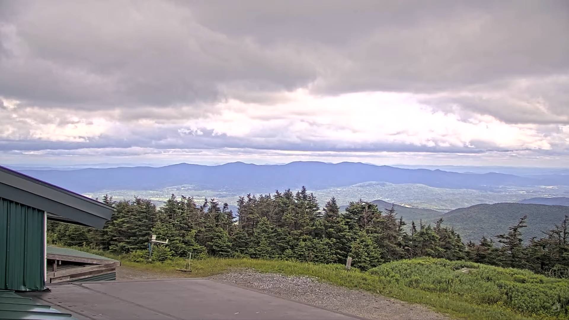
Updated Monday Morning Forecast — July 1st, 2024
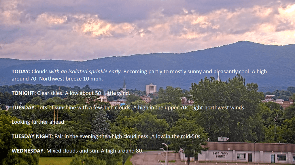
TODAY: Clouds with an isolated sprinkle early. Becoming partly to mostly sunny and pleasantly cool.A high around 70. Northwest breeze 10 mph.
TONIGHT: Clear skies.A low about 50.Little wind.
TUESDAY: Lots of sunshine with a few high clouds. A high in the upper 70s. Light northwest winds.
Looking further ahead
TUESDAY NIGHT: Fair in the evening then high cloudiness. A low in the mid-50s.
WEDNESDAY: Mixed clouds and sun. A high around 80.
THURSDAY Independence Day: Widely scattered showers and a rumble or two of thunder early morning hours, then partly to mostly sunny. A low 65 to 70. A high 80 to 85.
FRIDAY: Some morning clouds, then mostly sunny. A low in the low to mid 60s. A high in the low 80s.
Average lows low to mid 50s. Average high upper 70s to lower 80s
RH/7-1forecast][end]
Gorgeous stretch of low to moderate humidity days and dry weather will break Wednesday night with mugginess and some widely scattered showers isolated rumbles of thunder with a nice warming trend.
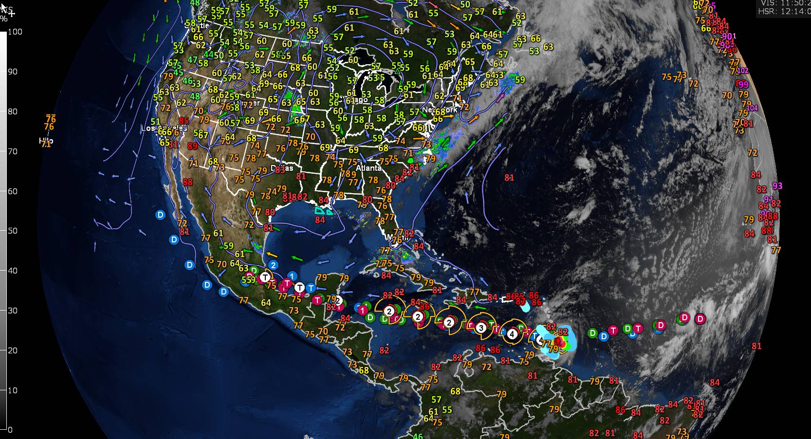
Distant windy showers and isolated thunderstorms disant north Canadian border region mid day Sunday.
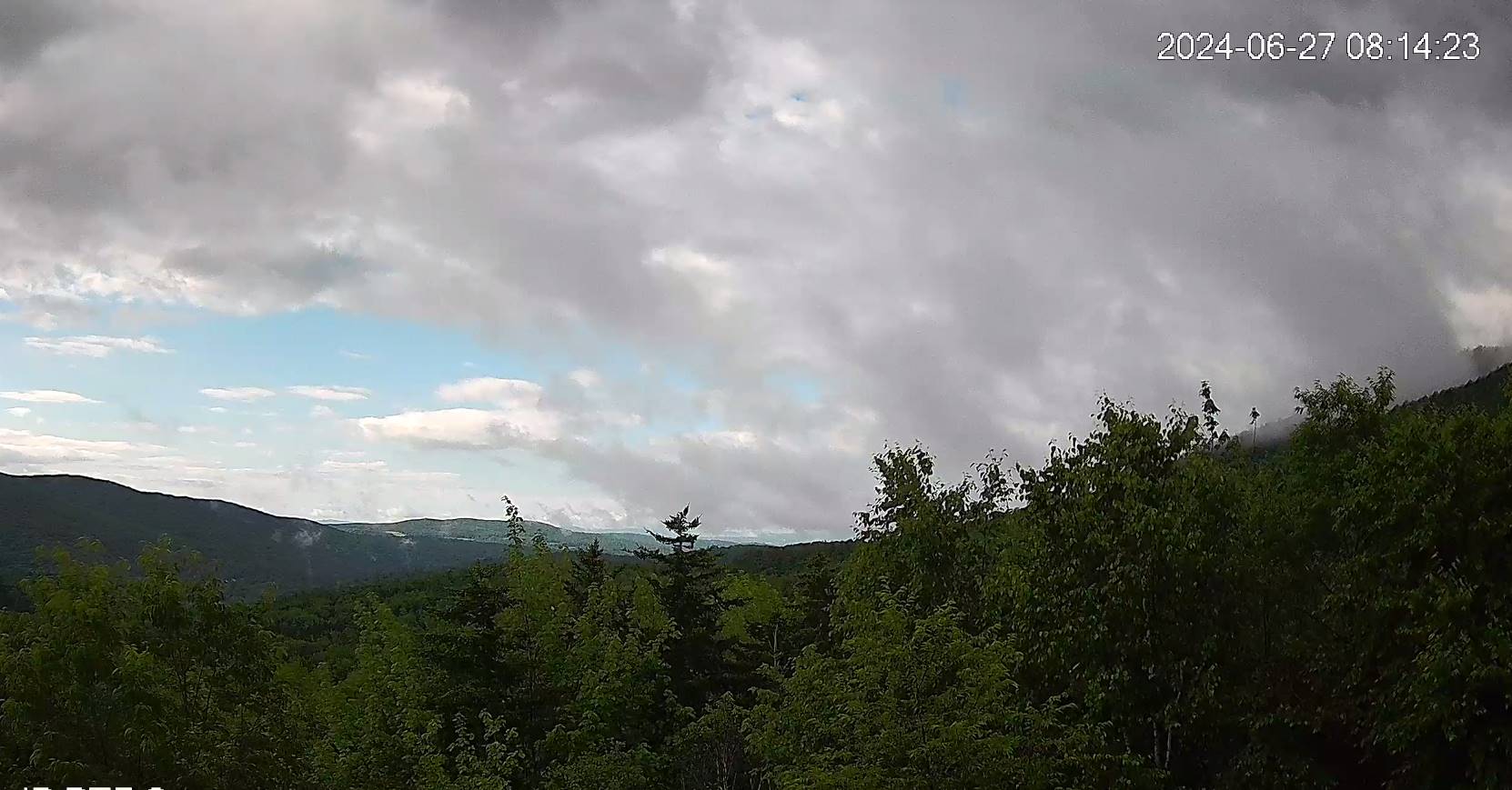
Updated Friday Evening Forecast — June 28th, 2024
TONIGHT: Increasing & thickening clouds.A low 50 to 55. Southeast winds 10 mph, becoming stronger near the lake overnight.
TOMORROW: Gray and gradually more humid. Scattered showers developing western and northern areas, becoming more frequent & heavy at times late in the afternoon. A high in the low 70s. Increasingly humid. South breeze 10 to 20 mph stronger & gusty near Lake Champlain.
SATURDAY NIGHT: Cloudy. Showers and a few embedded heavy thunderstorms likely in the evening…tapering to a few showers by daybreak. A low in the mid-60s. South to southwest breeze 10 to 15 mph.
SUNDAY: Morning clouds, then partly sunny. Widely scattered showers and strong to possibly severe thunderstorms northern areas. Muggy. A high about 80. Southwest winds becoming northwesterly 10 to 20 mph
Looking further ahead

SUNDAY NIGHT: Scattered evening showers and thunderstormsgives way to clearing skies. A low 55 to 60.
MONDAY: Partly to mostly sunny. A high in the low 70s.
TUESDAY: Mostly sunny & a beauty. A low around 50. A high 75 to 80.
WEDNESDAY: Increasing clouds. A low around 60. A high 80 to 85.
Average lows low to mid 50s. Average high mid-70s to low 80s
RH/6-28forecast][end]
Updated Friday morning Forecast — June 28th, 2024
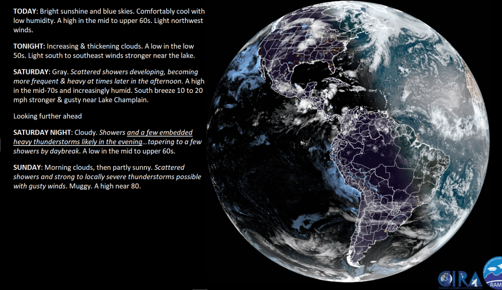
TODAY: Bright sunshine and blue skies. Comfortably cool with low humidity. A high in the mid to upper 60s. Light northwest winds.
TONIGHT: Increasing & thickening clouds.A low in the low 50s. Light south to southeast winds stronger near the lake.
SATURDAY: Gray. Scattered showers developing, becoming more frequent & heavy at times later in the afternoon. A high in the mid-70s and increasingly humid. South breeze 10 to 20 mph stronger & gusty near Lake Champlain.
Looking further ahead
SATURDAY NIGHT: Cloudy. Showers and a few embedded heavy thunderstorms likely in the evening…tapering to a few showers by daybreak. A low in the mid to upper 60s.
SUNDAY: Morning clouds, then partly sunny. Scattered showers and strong to locally severe thunderstorms possible with gusty winds. Muggy. A high near 80.
MONDAY: Mixed clouds and sun. Widely scattered afternoon showers & thunderstorms. A low in the mid to upper 50s. A high 70 to 75.
TUESDAY: Mostly sunny. A low around 50. A high 75 to 80.
Average lows low to mid 50s. Average high mid-70s to low 80s
RH/6-28forecast][end]
Quiet weather gets more interesting later tomorrow afternoon, and too interesting on Sunday. Increased moisture, and humidity for potentially heavy showers Saturday late day and evening. Potential again for strong to severe storms on Sunday. Maybe more supercells – yipes.
Updated Thursday Evening Forecast — June 27th, 2024
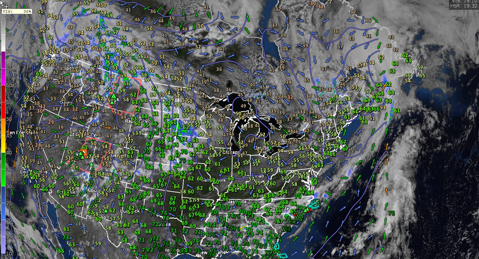
Dew point Temperatures shown above…
TONIGHT: Clear & partially moonlit. Patchy valley fog. A low mid to upper 40s. Light northwest winds.
TOMORROW: Patchy valley fog then sunny. Cool & comfortable with low humidity. A high upper 60s. Light northwest winds.
FRIDAY NIGHT: Increasing & thickening clouds.A low in the low 50s. Light south to southeast winds stronger near the lake..
SATURDAY: Gray. Showers & embedded thunderstorms becoming likely late afternoon into the evening. Some possibly heavy. A high in the mid-70s and increasingly humid. South breeze 10 to 15 mph stronger near the lake.
Looking further ahead
SATURDAY NIGHT: Cloudy. Showers and a few embedded thunderstorms likely in the evening…tapering to few showers toward daybreak. A low near 65.
SUNDAY: Clouds with widely scattered leftover showers early, gives way to partial sunshine. Scattered showers and a few thunderstorms later in the afternoon northern border areas. Muggy. A high pushing 80.
MONDAY: Mixed clouds and sun. Widely scattered afternoon showers & thunderstorms. A low in the upper 50s near 60. A high 70 to 75.
TUESDAY: Mostly sunny. A low in the low 50s A high in the mid-70s.
Average lows low to mid 50s. Average high mid-70s to low 80s
RH/6-76forecast][end]
Updated Thursday Morning Forecast — June 27th, 2024

TODAY: Mixed sun and clouds. Widely scattered passing showers. Moderately humid. A high upper 60s near 70. Northwest breeze 10 to 20 mph.
TONIGHT: Clear & partially moonlit. Patchy valley fog. A low mid to upper 40s. Light northwest winds.
FRIDAY: Patchy valley fog then sunny. Cool & comfortable with low humidity. A high upper 60s. Light northwest winds.

Looking further ahead
FRIDAY NIGHT: Increasing & thickening clouds.A low in the low 50s.
SATURDAY: Gray. Showers & embedded thunderstorms becoming likely late afternoon into the evening. Some possibly heavy. A high in the mid-70s and increasingly humid.

SUNDAY: Clouds with scattered leftover showers early, gives way to partial sunshine. Muggy. A low near 65. A high pushing 80.
MONDAY: Mixed clouds and sun. Widely scattered afternoon showers & thunderstorms. A low in the upper 50s near 60. A high 70 to 75.
TUESDAY: Mostly sunny. A low in the low 50s A high in the mid-70s.
Average lows low to mid 50s. Average high mid-70s to low 80s
RH/6-76forecast][end]
