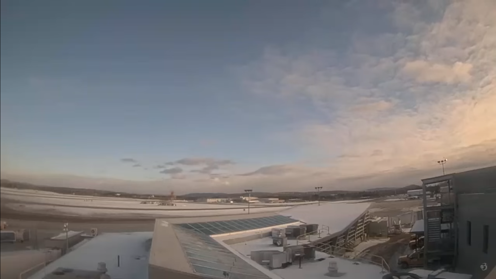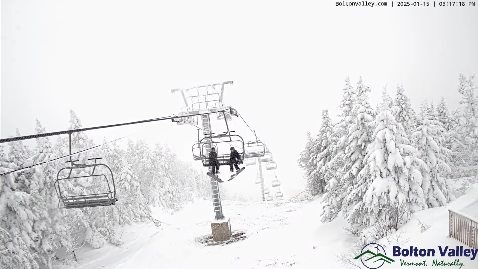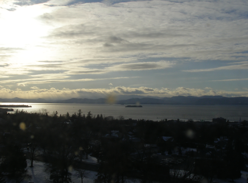
Roger Hill’s Radio Vermont Forecast 3:00 PM Monday MLK JR. Day1-20-25
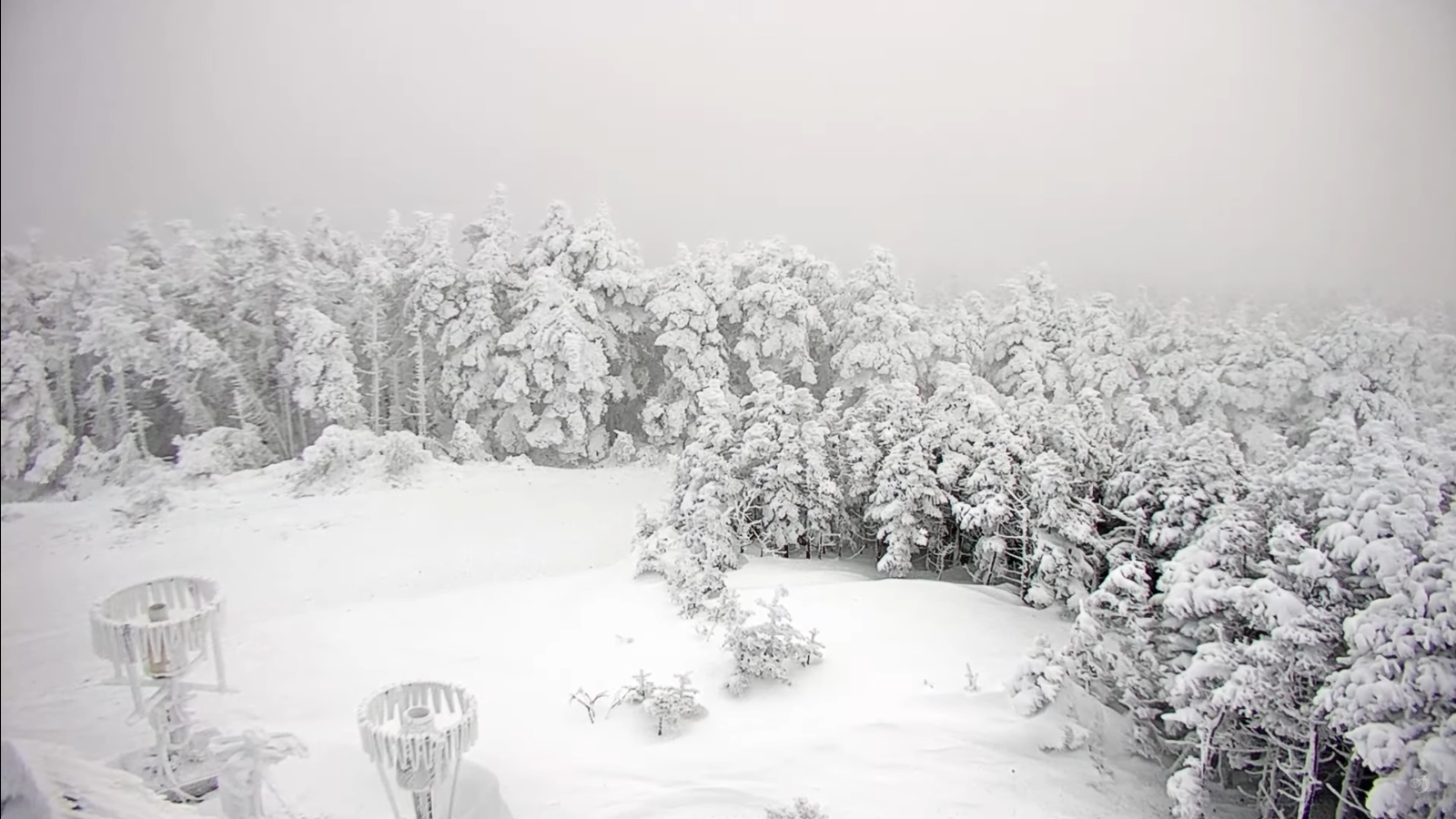
TONIGHT: Down-wind lake effect clouds and snowflakes northern areas, otherwise mostly clear and partially moonlit. Below normal in temperature. A low zero to 10 below. Little wind becoming light southwesterly.
TOMORROW: Bright sun and blue skies…then few more clouds in the afternoon & a snowflake or two northern areas. A high in the low teens. West to southwest winds 10 mph.

TUESDAY NIGHT: Scattered clouds near Quebec border, otherwise mostly clear and partially moonlit. A low 5 to 15 below. Light southwest winds.
WEDNESDAY: Bright sun and blue skies, with high 10 to 15. Light west winds.
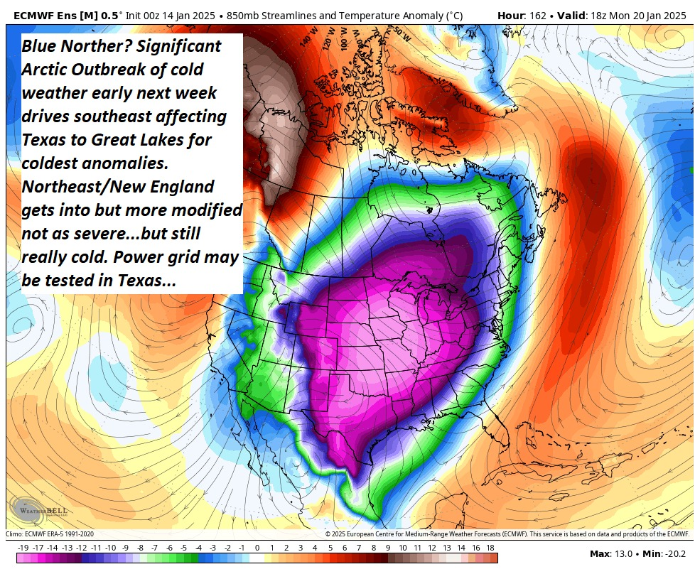
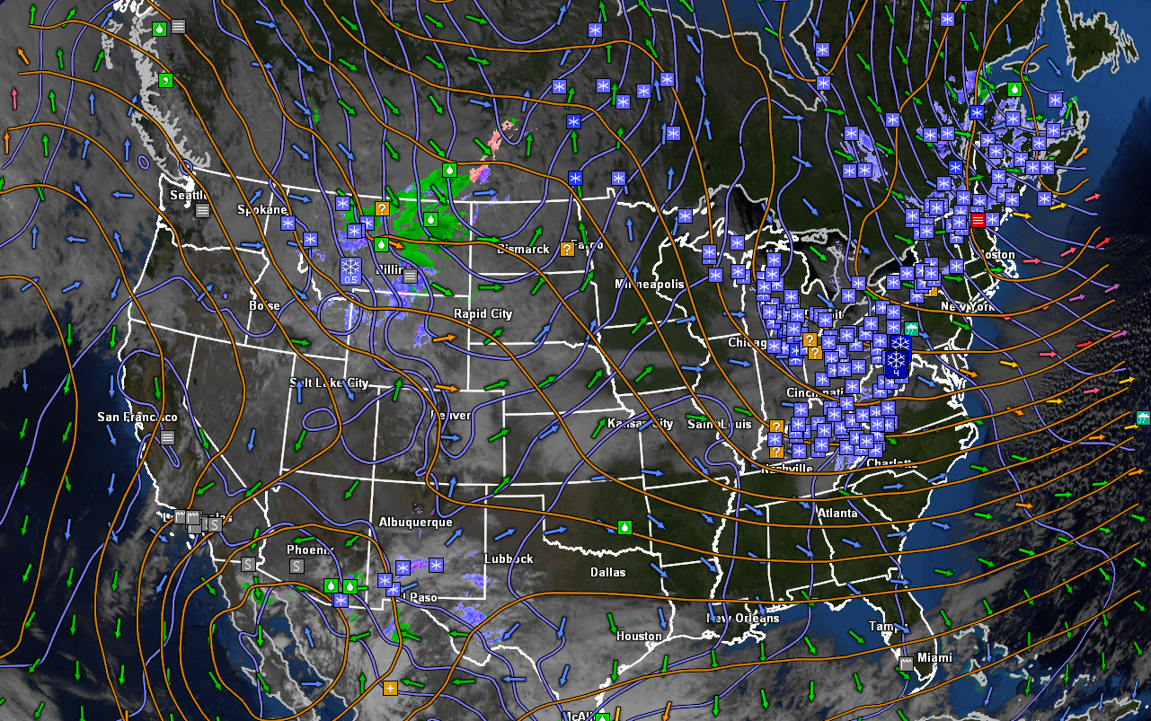
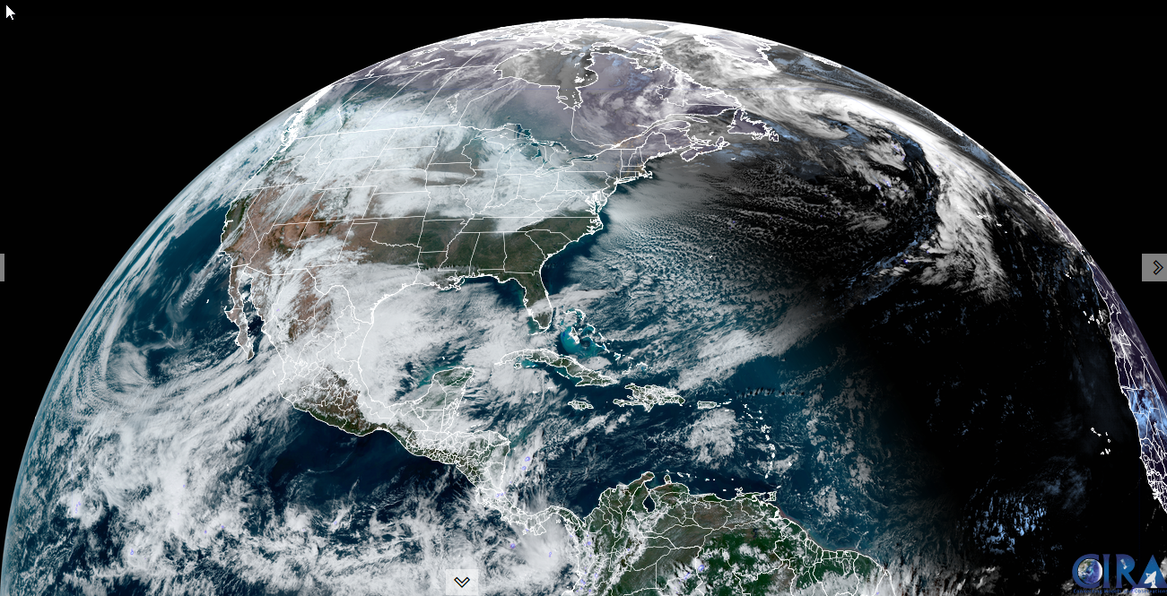
Looking further ahead
WEDNESDAY NIGHT: Increasingly cloudy. Maybe a flurry around daybreak far north. A low zero to 10 below.

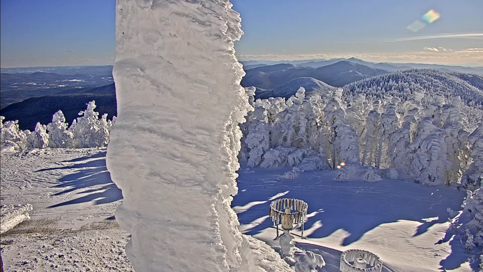
Peak or half way point of Meteorological Winter 1-23-25
THURSDAY: Clouds with a few intervals of sunshine. Scattered mainly northern snow showers or flurries with minor accumulation. A high around 20.
FRIDAY: Morning clouds with stray flurries, then partly to mostly sunny.A high upper teens.
SATURDAY: Mixed clouds and intervals of sun. A low 5 below to 10 above. A high in the low 20s.

Average low ranging thru the single digits. Average high mid-20s to low 30s.
RH/1-20-25forecast][end]