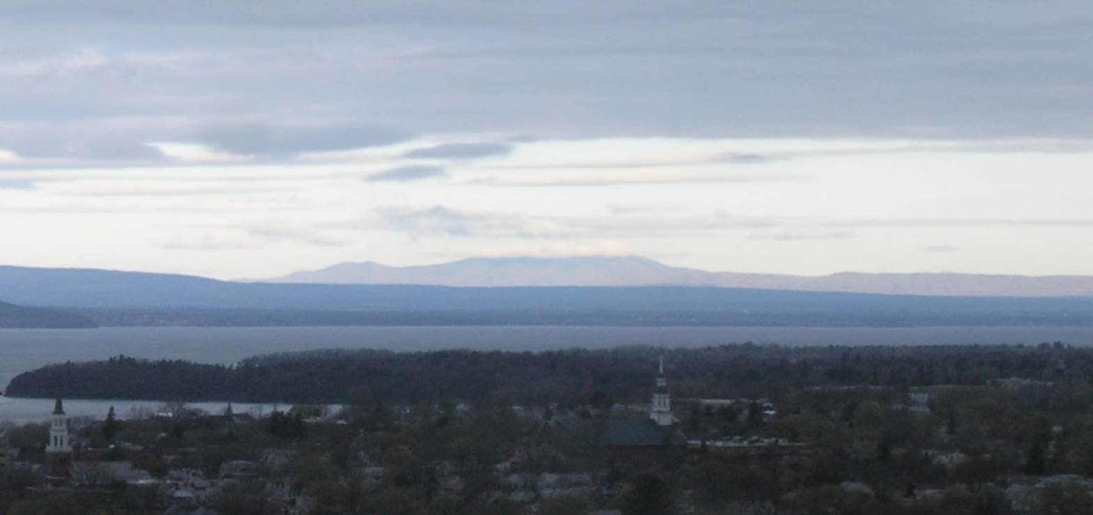
Updated Tuesday Morning forecast — May 5th, 2020

TODAY: Mainly gray. A few wet snow flakes mixed in with rain showers Barre-Montpelier area north this morning. A high around 45. Northwest winds 10 to 15 mph.

TONIGHT: Scattered clouds. A low 30 to 35. Light northwest winds.

WEDNESDAY: Partly sunny. A high upper 40s to low 50s. Light northwest winds.
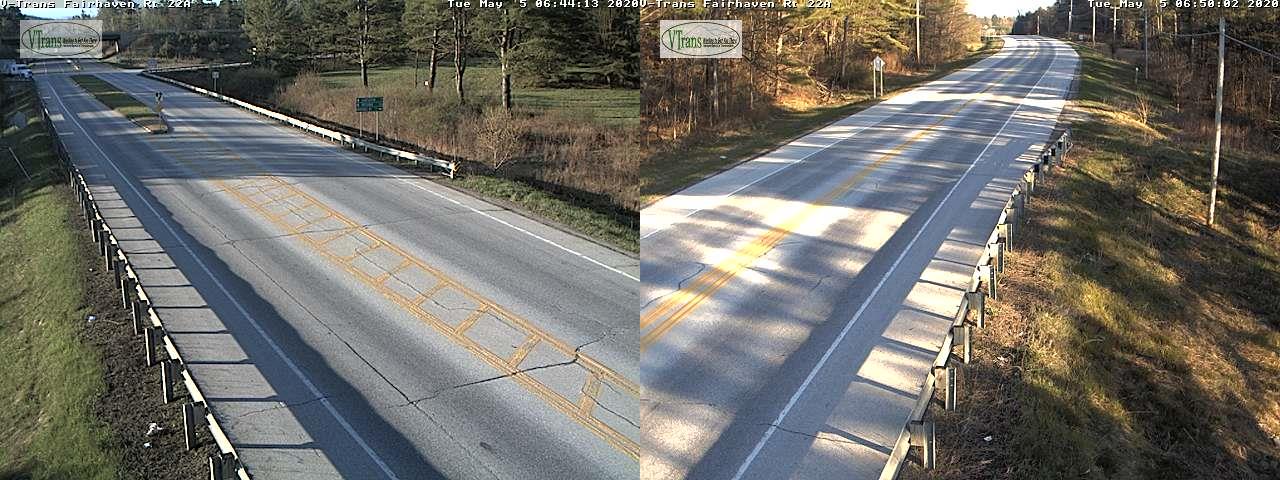
Looking further ahead…

WEDNESDAY NIGHT: Fair early, then clouding up. A low in the mid-30s.
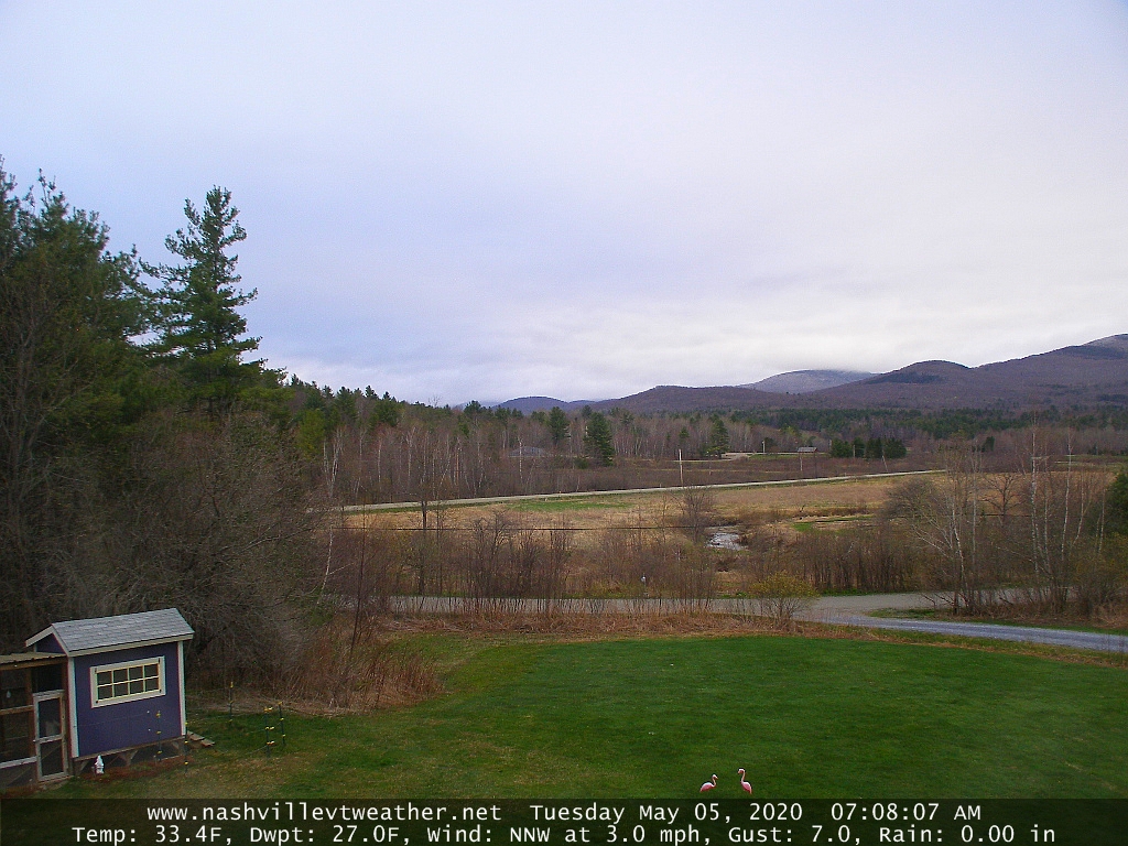
THURSDAY: Mixed clouds and sun with more clouds in the afternoon. A high around 55. A rising chance for a rain showers Thursday nightmixing with wet snow with some accumulation possible elevated terrain overnight exiting toward daybreak.

FRIDAY: Lots of clouds with intervals of sun in the afternoon. A low around 35. A high in the upper 40s to around 50.

SATURDAY: Overcast, and raw. Chance for accumulating wet snow. A few to several inches possible elevated terrain. Blustery to windy with near record cold. A low 25 to 30. A high 32 to 35.

SUNDAY: Mostly cloudy. A low in the 20s. A high 40 to 45.
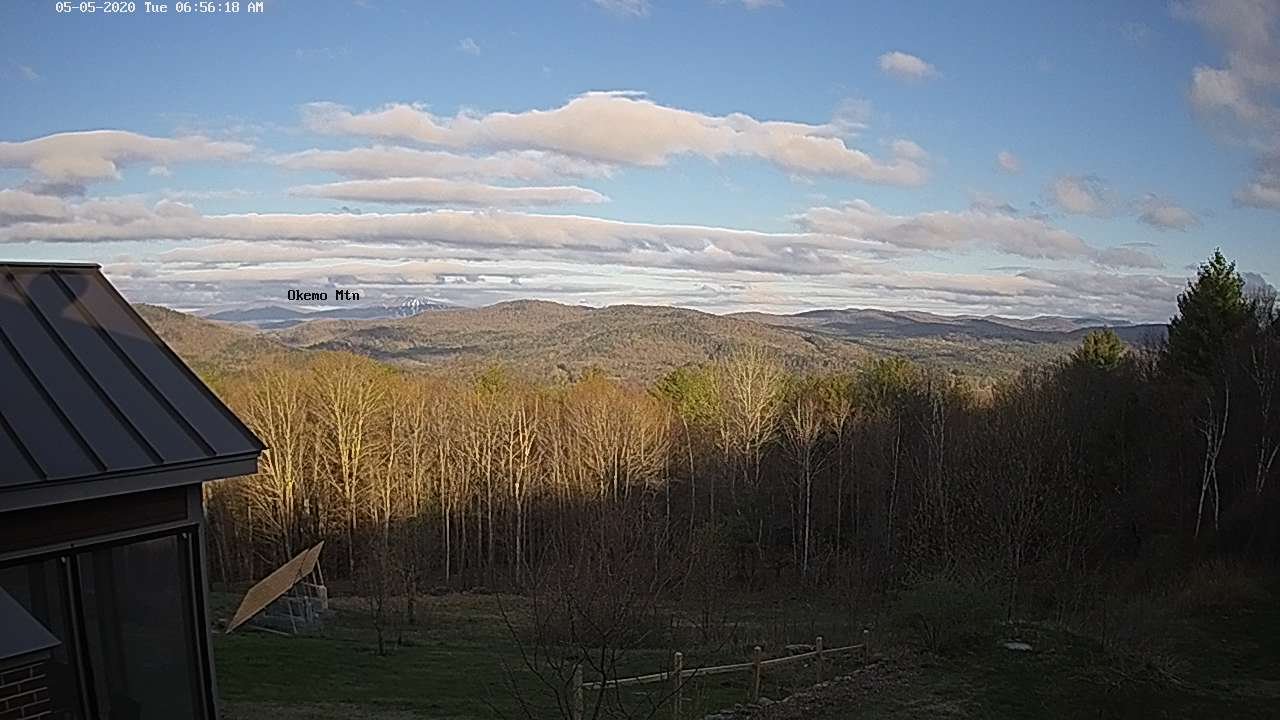
Average lows ranging mid-30s to low 40s, average highs in the mid-60s.

RH/5-4[end]
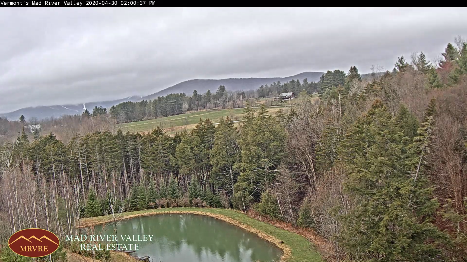
Updated Monday Evening forecast — May 4th, 2020

TONIGHT: Lots of clouds. A few light rain showers mixing with wet snow across the northern higher terrain. A low near 35. Northwest breeze 10 to15 mph.

TOMORROW: Mainly gray. A few wet snow flakes mixed rain showers northern tier region in the morning. A high near 45. Northwest winds 10 to 15 mph.

TUESDAY NIGHT: Partial clearing. A low 32 to 35. Light northwest winds.

WEDNESDAY: Partly sunny. A high 50 to 55. Light northwest winds.

Looking further ahead…

WEDNESDAY NIGHT: Mostly clear. A low in the low to mid-30s.

THURSDAY: Mixed clouds and sun. A high in the mid-50s. A rising chance for a rain showers developing Thursday nightmixing with wet snow. Some minor accumulation possible elevated terrain.

FRIDAY: Cloudy. A rising chance later in the afternoon…for wet accumulating snow especially high southern terrain. A low 35 to 40. A high in the upper 40s.

SATURDAY: Overcast. Chance for accumulating wet snow in the morning tapering to scattered wet snow showers in the afternoon blustery to windy. A low near 30. A high mid to upper 30s.

Average lows ranging mid-30s to low 40s, average highs in the mid 60s.

RH/5-4[end]
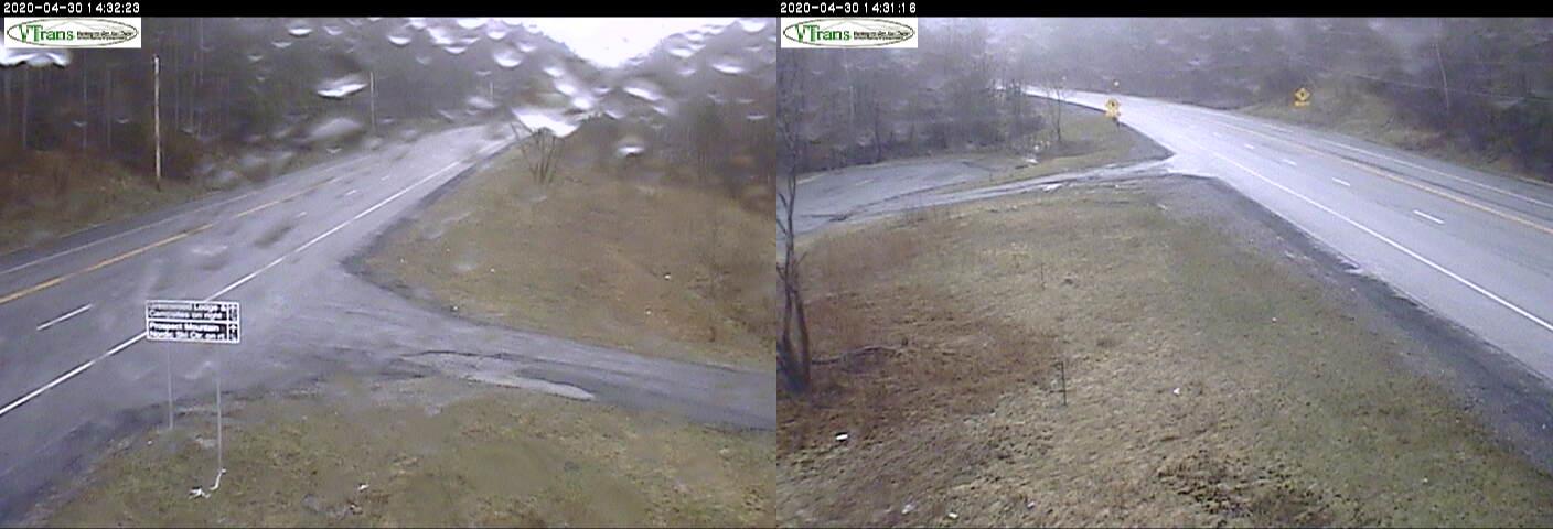
Updated Monday Morning forecast — May 4th, 2020

TODAY: Morning sun gives way to considerable cloudiness. Widely scattered rain showers develops mid-day on. Temperatures peak this morning around 50, then fall thru the 40s this afternoon. West to northwest winds 10 to occasionally 20 mph.

TONIGHT: Lots of clouds. A few rain showers mixing with wet snow across the northern tier counties higher terrain. A low 32 to 35. Northwest breeze 10 to15 mph.

TUESDAY: Mainly gray. A few wet snow flakes mixed rain showers northern tier region early exiting. A high around 45. Northwest winds 10 to occasionally 20 mph.

Looking further ahead…

TUESDAY NIGHT: Partly cloudy. A low 32 to 35.

WEDNESDAY: Partly sunny. A high around 55.

THURSDAY: Mixed clouds and sun. A rising chance for a rain showers developing Thursday eveningmixing with wet snow. Some minor accumulation possible elevated terrain. A low 35 to 40. A high in the low 50s.

FRIDAY: Mostly cloudy. Chance for a few rain or snow showers early. A low 35 to 40. A high around 50.

Average lows ranging mid-30s to low 40s, average highs in the mid 60s.

RH/5-4[end]
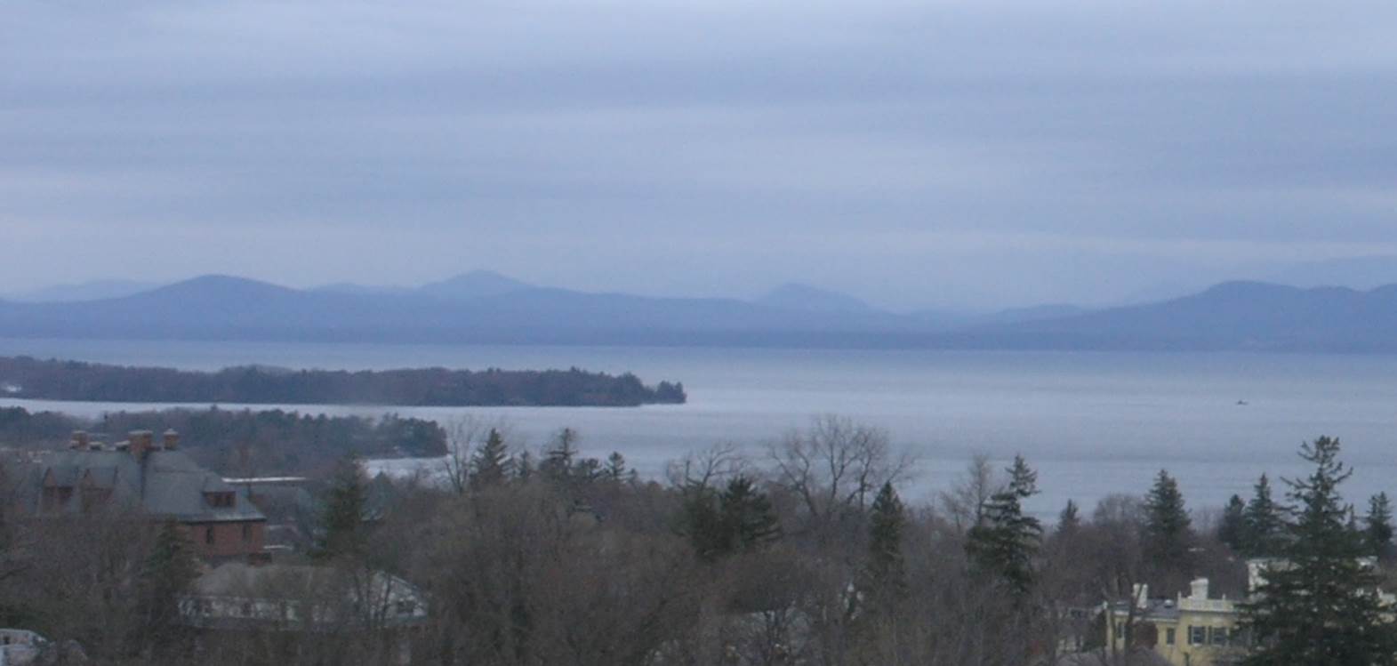
Updated Friday Evening Forecast — May 1st, 2020

TONIGHT: A few leftover rain showers through mid-evening, otherwise becoming mostly clear. A low 35 to 40. Northwest winds picking up this evening 10 to 20 mph.

TOMORROW: Mostly sunny with some afternoon high clouds. A high around 60. Northwest winds 10 to 15 mph.

SATURDAY NIGHT: Thickening clouds. Scattered rain showers developing overnight. A low 40 to 45. Light south winds.

SUNDAY: Scattered rain showers in the morning, then partly to mostly sunny in the afternoon. Near to above normal in temperatures in the afternoon, with a high pushing near 65. West breeze 10 to 20 mph.

Looking further ahead…

SUNDAY NIGHT: Variable cloudiness. A low around 40.

MONDAY: Mostly cloudy & damp. Widely scattered rain showers, mainly in the afternoon. A high around 55.

TUESDAY: Mostly sunny after a frosty start. A low around 32. A high upper 40s.

WEDNESDAY: Partly cloudy. A low 25 to 30. A high 50 to 55.

Average lows ranging mid-30s to around 40, average highs in the low to mid 60s.

RH/5-1[end]
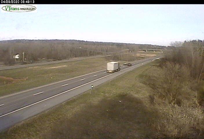
Updated Friday Morning forecast — May 1st, 2020

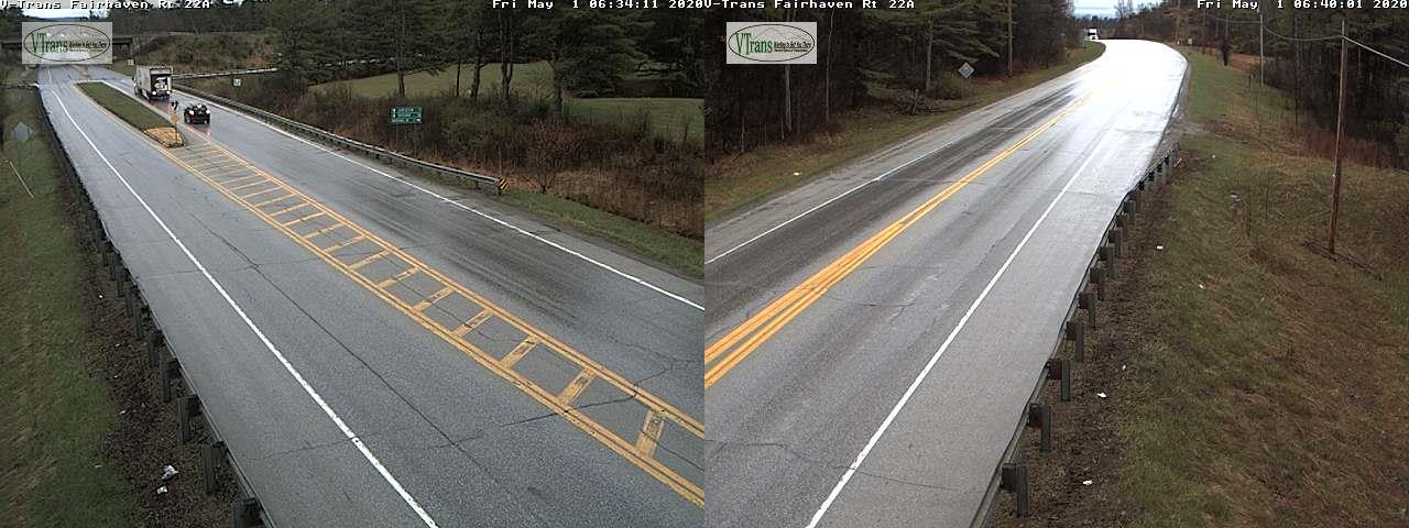
TODAY: Gray. Rain…moderate at times eastern Vermont early, tapering to widely scattered showers. Areas of fog. Milder. A high around 55. Light east to southeast winds.

TONIGHT: A few leftover rain showers through mid-evening, then clearing overnight. A low upper 30s to low 40s. Northwest winds 10 to 15 mph.

SATURDAY: Sunny through early afternoon, then more clouds. A high upper 50s to around 60. Northwest winds 10 to 15 mph.

Looking further ahead…

SATURDAY NIGHT: Partly to mostly cloudy. A rising chance for few rain showers after midnight. A low 40 to 45.

SUNDAY: Partly to mostly cloudy. Widely scattered rain showers. Near to above normal temperatures in the afternoon, with a high in the low 60s.

MONDAY: A few breaks of morning sun, then cloudy & damp. Chance for rain showers, mainly in the afternoon. A low 32 to 35. A high around 55.

TUESDAY: Slight chance for an early morning flurry then partly sunny. A low around 32. A high upper 40s to around 50.

WEDNESDAY: Sunshine gives way to more clouds. A low 25 to 30. A high in the mid-50s.

Average lows ranging mid-30s to around 40, average highs in the upper-50s to mid-60s.

RH/5-1[end]
Updated Thursday Evening forecast — April 30th, 2020

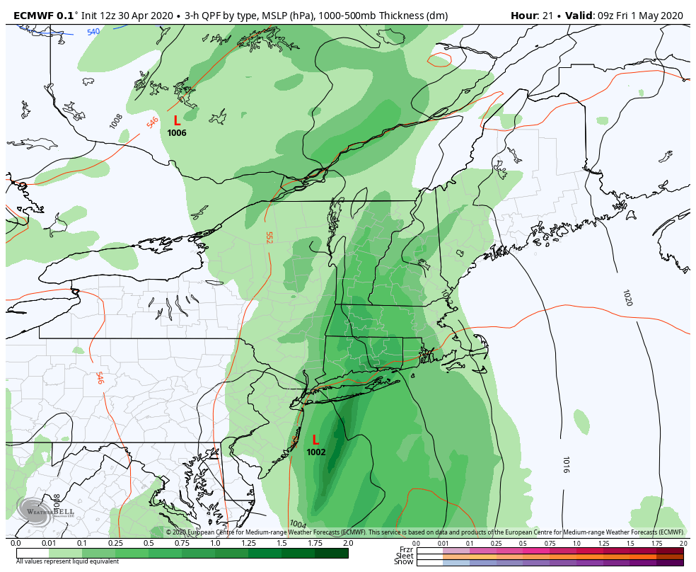
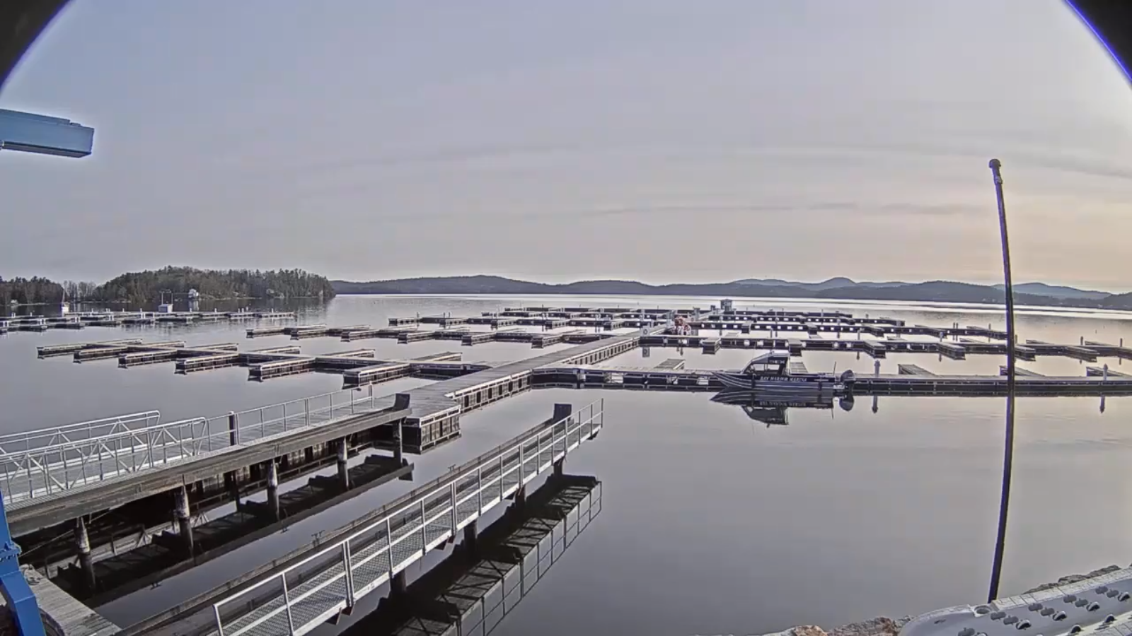
TONIGHT: Overcast & damp. Widely scattered rain showers developing into moderate rain at times after midnight. Areas of fog. A low 40 to 45. Southeast winds 10 to 20 mph this evening diminishing overnight.

TOMORROW: Gray. Periods of rain…moderate at times, tapering to scattered showers in the afternoon. Areas of fog. Milder, with a high in the mid-50s. Light east to southeast winds.

FRIDAY NIGHT: Scattered rain showers exiting around midnight. Clearing overnight. A low in the low 40s. Northwest winds 10 to 15 mph.

SATURDAY: Partly to mostly sunny. A high 55 to 60. Northwest winds 10 to 15 mph.

Looking further ahead…

SATURDAY NIGHT: Fair early then clouding up. Chance for a few rain showers. A low 40 to 45.

SUNDAY: Partly to mostly cloudy. Chace for a few showers. Near to above normal temperatures in the afternoon, with a high in the mid-60s.

MONDAY: Mainly cloudy & damp. Chance for showers. A low 35 to 40. A high around 55.

TUESDAY: Partly cloudy after a few sprinkles or wet snow flurries early. A low around 32. A high in the mid-40s.

Average lows ranging mid-30s to around 40, average highs in the upper-50s to mid-60s.

RH/4-30[end]
Updated Thursday Morning Forecast — April 30th, 2020

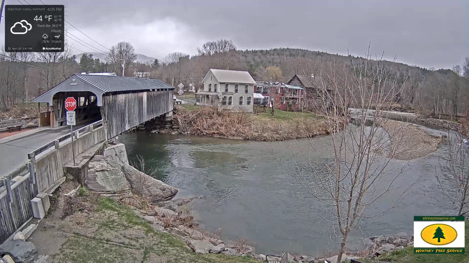
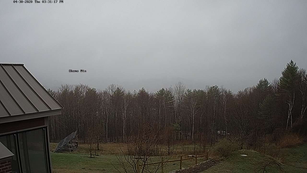
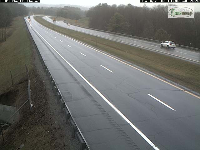
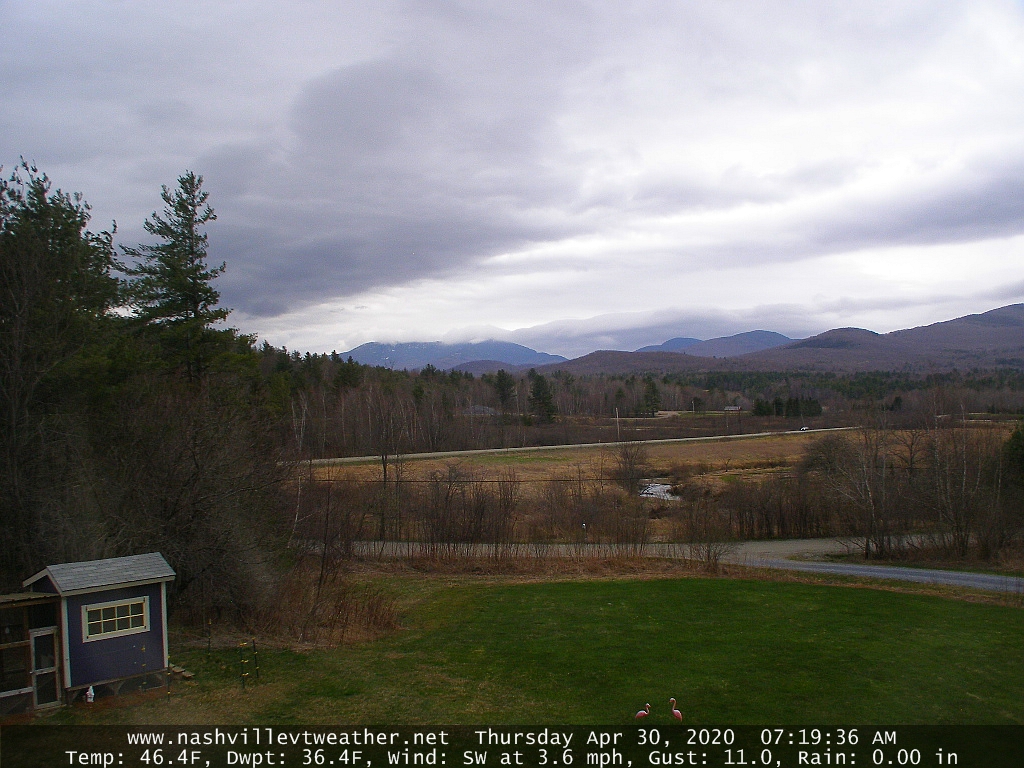
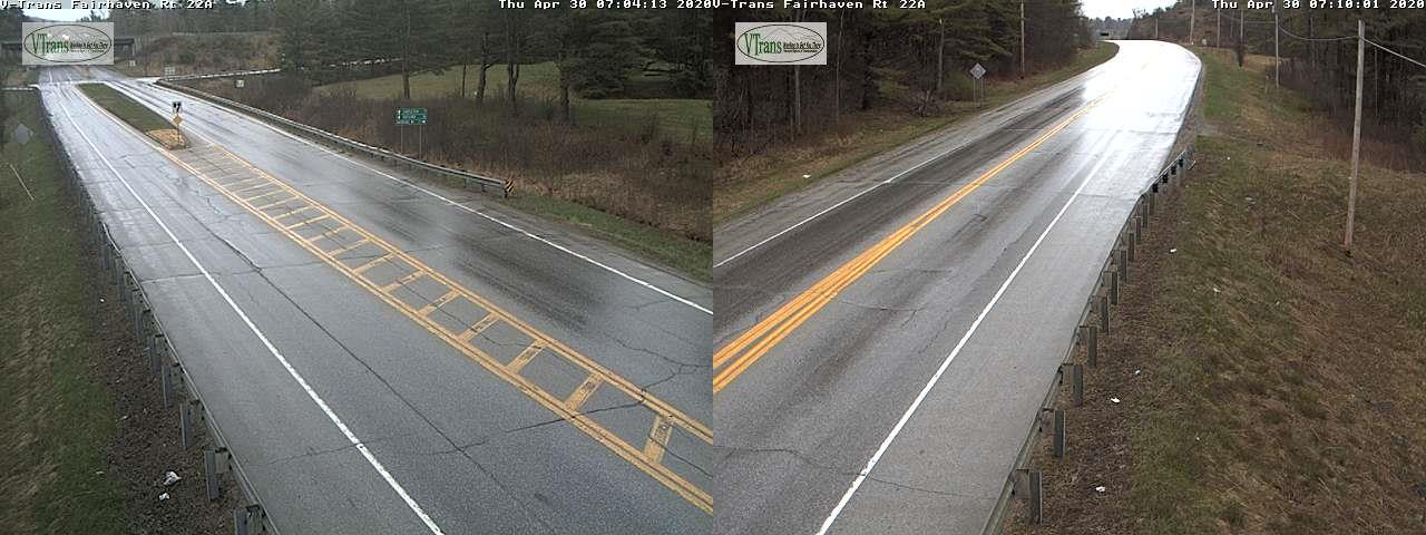
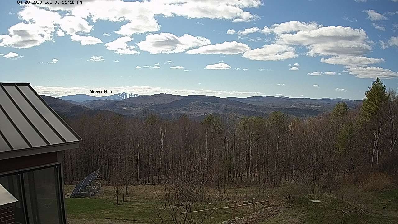
TODAY: Cloudy. Widely scattered rain showers. Breezy to windy mainly western slopes of Green Mountains. Temperatures holding 45 to 50. Southeast breeze 10 to 20 mph.

TONIGHT: Overcast & damp. Widely scattered rain showers developing into moderate rain at times toward daybreak. Areas of fog. A low in the low 40s. Southeast winds 10 mph across the hills.

FRIDAY: Gray. Periods of rain…moderate at times, tapering to scattered showers in the afternoon. Areas of fog. Milder, with a high in the low to mid 50s. Light south to southeast winds.

Looking further ahead…

FRIDAY NIGHT: Scattered rain showers exiting late evening. Clearing overnight. A low in the low 40s.

SATURDAY: Partly to mostly sunny. A high mid to upper 50s.

SUNDAY: Partly to mostly cloudy. Scattered brief rain showers. A low around 40. Near seasonal temperatures in the afternoon, with a high in the mid to upper 60s.

MONDAY: Mainly cloudy & damp. Chance for showers becoming frequent in the afternoon. A low 40 to 45. A high near 50.

TUESDAY: Mostly cloudy and colder. Chance for rain showers mixed with wet snow across the higher terrain. A low 35 to 40. A high in the low 40s.

Average lows ranging mid-30s to around 40, average highs in the upper-50s to mid-60s.

RH/4-30[end]
Updated Wednesday Evening Forecast — April 29th, 2020

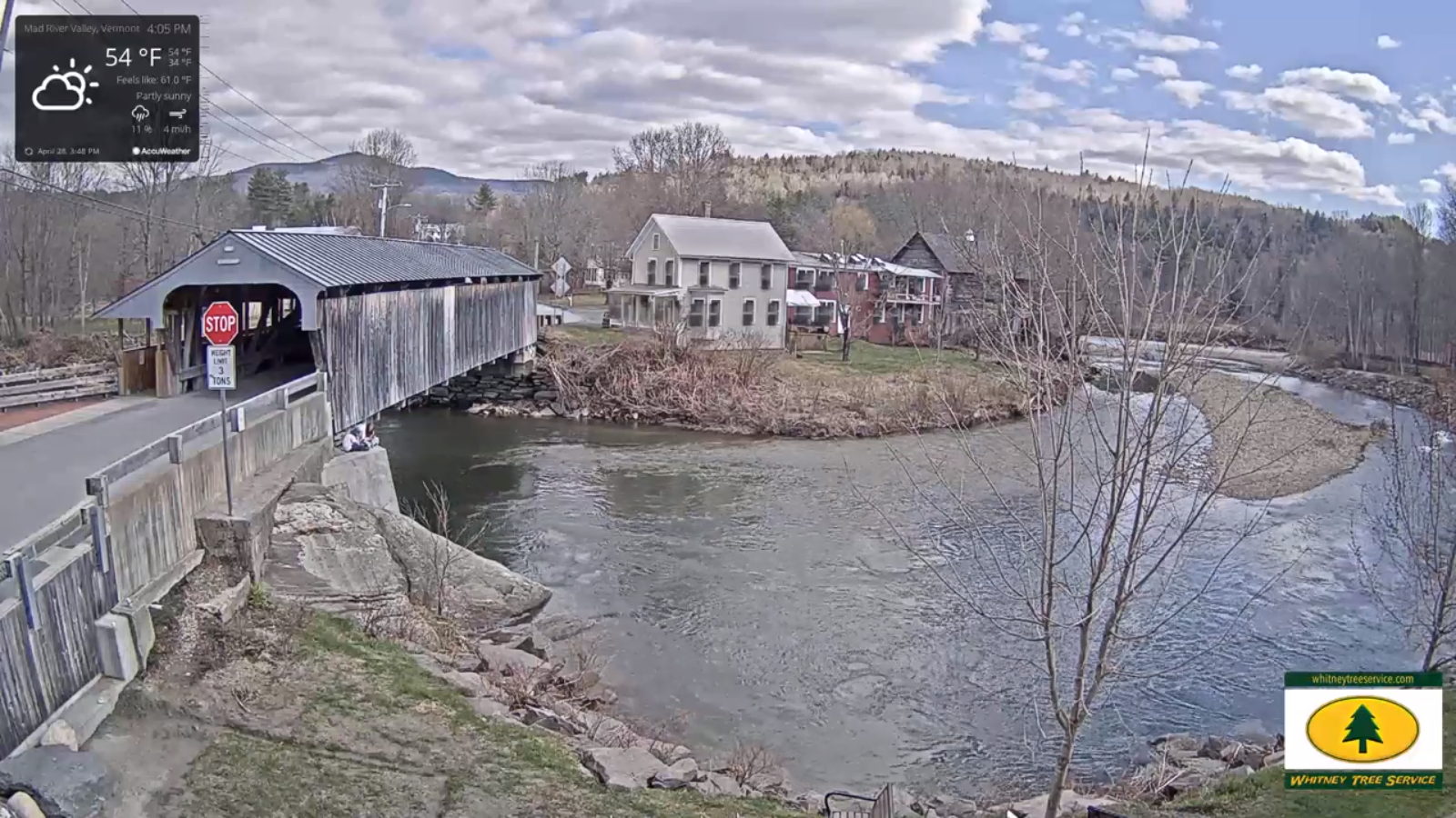
TONIGHT: Thickening clouds. Widely scattered sprinkles developing toward midnight. A low around 40. Southeast winds 10 to 15 mph.

TOMORROW: Lots of clouds. Widely scattered rain showers. Breezy especially western slopes of Green Mountains. A high upper 40s to near 50. Southeast winds 10 to 20 mph.

THURSDAY NIGHT: Overcast & damp. Widely scattered rain showers developing into moderate rain at times late. Patchy valley fog. A low in the low 40s. Southeast winds 10 mph across the hills.

FRIDAY: Gray. Rain likely…moderate at times tapering to scattered showers later in the afternoon. Areas of fog. A high in the low 50s. Light south to southeast winds.

Looking further ahead…

FRIDAY NIGHT: Scattered rain showers exiting late evening. Clearing overnight. A low in the low 40s.

SATURDAY: Morning sunshine gives way afternoon cloudiness. A high around 55.

SUNDAY: Sunshine mixing with more clouds in the afternoon. Slight threat for a shower. A low 35 to 40. Near seasonal temperatures in the afternoon, with a high near 65.

MONDAY: Mainly cloudy & damp. Chance for showers/periods of rain. A low 40 to 45. A high in the low 50s.

TUESDAY: Mostly cloudy and colder. Chance for rain showers possibly mixed with wet snowflakes late. A low in the 30s. A high only around 40.

Average lows ranging mid-30s to around 40, average highs in the upper-50s to mid-60s.

RH/4-29[end]
Updated Wednesday Morning Forecast — April 29th, 2020

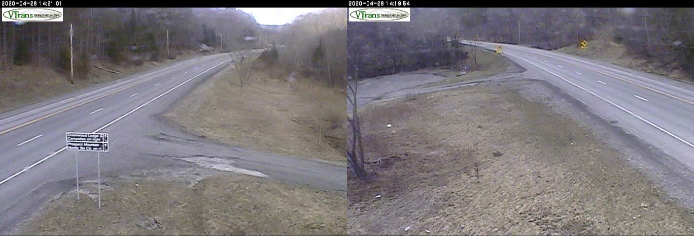
TODAY: Pick of the week. Sunshine, filtered through high clouds at times. A bit warmer and pleasant. A high upper 50s to around 60. Southeast breeze 10 mph.

TONIGHT: Thickening clouds. Widely scattered sprinkles developing toward midnight. A around 40. Southeast winds 10 to 15 mph.

THURSDAY: Mainly cloudy. Widely scattered rain showers. Breezy especially western slopes of Green Mountains. A high in the low 50s. Southeast winds 10 to 20 mph.

Looking further ahead…

THURSDAY NIGHT: Overcast & damp. Widely scattered rain showers. Patchy valley fog. A low around 45.

FRIDAY: Gray. Good chance for rain…moderate at times, otherwise cloudy areas of fog. A high in the low to mid 50s

SATURDAY: Mostly cloudy and unsettled. Scattered rain showers. A low around 45. A high in the low 50s.

SUNDAY: Sunshine gives way to increasing high clouds. A low in the mid to upper 30s. Near seasonal temperatures in the afternoon, with a high near 65.

MONDAY: Gray skies. Chance for showers or a period of rain. A low around 45. A high 55 to 60.

Average lows ranging mid-30s to around 40, average highs in the upper-50s to mid-60s.

RH/4-29[end]

Updated Tuesday evening Forecast — April 28th, 2020

TONIGHT: A few evening clouds then mostly clear and chilly. A low in the low 30s. Light east winds.

TOMORROW: Pick of the week. Sunshine filtered through high clouds at times. A bit warmer. A high upper 50s to around 60. Southeast breeze 10 mph.

WEDNESDAY NIGHT: Thickening clouds. Widely scattered sprinkles developing toward midnight. A low in the low 40s. Southeast winds 10 to 15 mph.

THURSDAY: Mainly cloudy and damp. Chance for a few rain showers. Breezy especially western slopes of Green Mountains. A high in the low 50s. Southeast winds 10 to 20 mph.

Looking further ahead…

THURSDAY NIGHT: Cloudy & damp. Chance for a few light showers. A low around 45.

FRIDAY: Gray. Chance for rain…moderate at times, otherwise mainly cloudy. A high 55 to 60.

SATURDAY: Mostly cloudy and unsettled with scattered rain showers. A low in the upper 40s. A high around 55.

SUNDAY: Mostly sunny. A low 40 to 45. Near seasonal temperatures in the afternoon, with a high in the low to mid 60s.

Average lows ranging mid-30s to around 40, average highs in the upper-50s to mid-60s.

RH/4-27[end]