Updated Tuesday Evening Forecast — October 27th, 2020

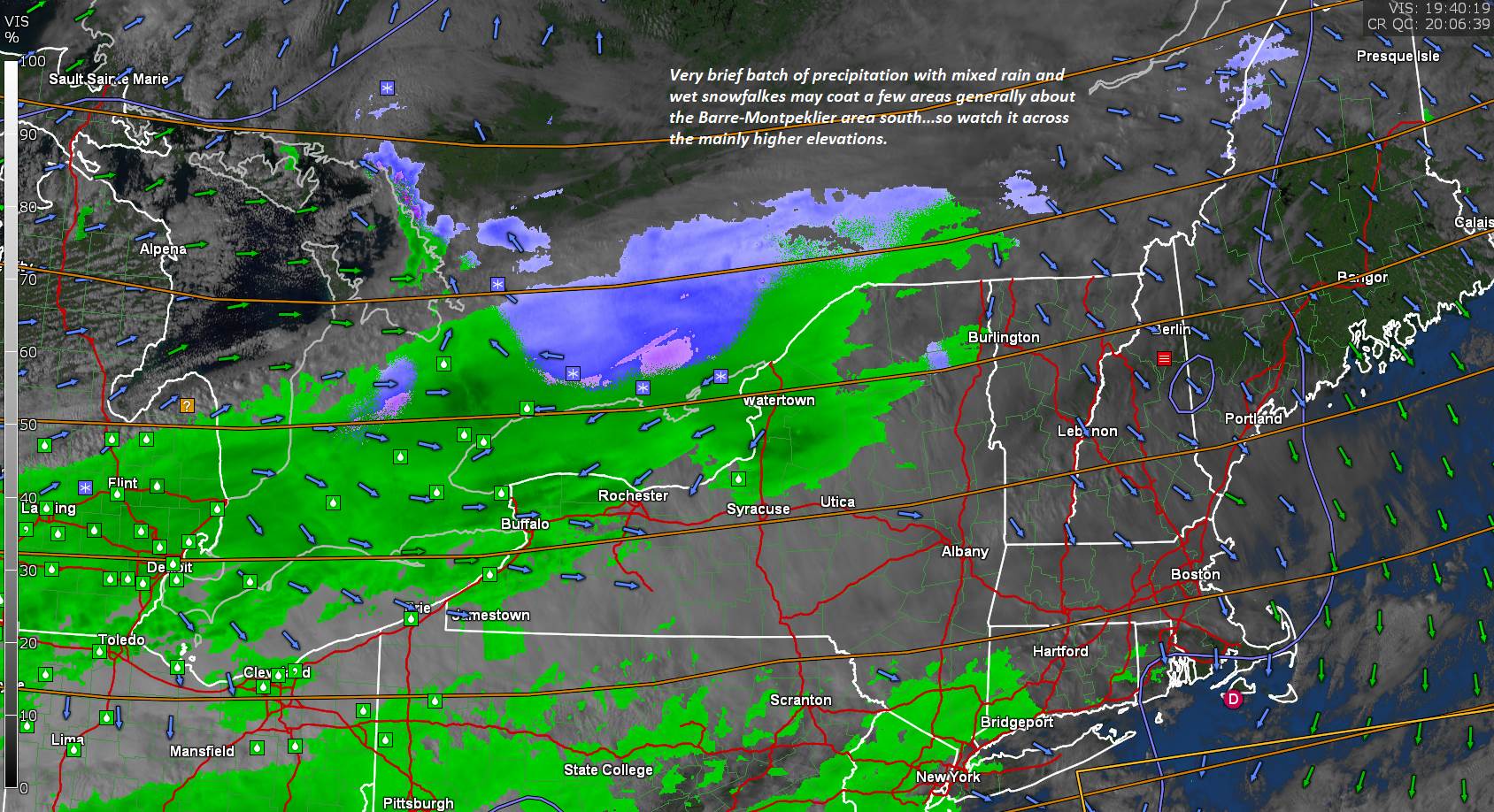
TONIGHT: Variably cloudy. Quick period of widely scattered rain showers mixed with wet snow high terrain exiting mid to late evening. A low in the lower 30s. Light southeast winds.

TOMORROW: Clouds, with possible breaks of sun. A few mountain sprinkles. A high in the mid to upper 40s. Southwest breeze 10 to 15 mph.

WEDNESDAY NIGHT: Becoming partly cloudy. A low around 35. Light west winds.
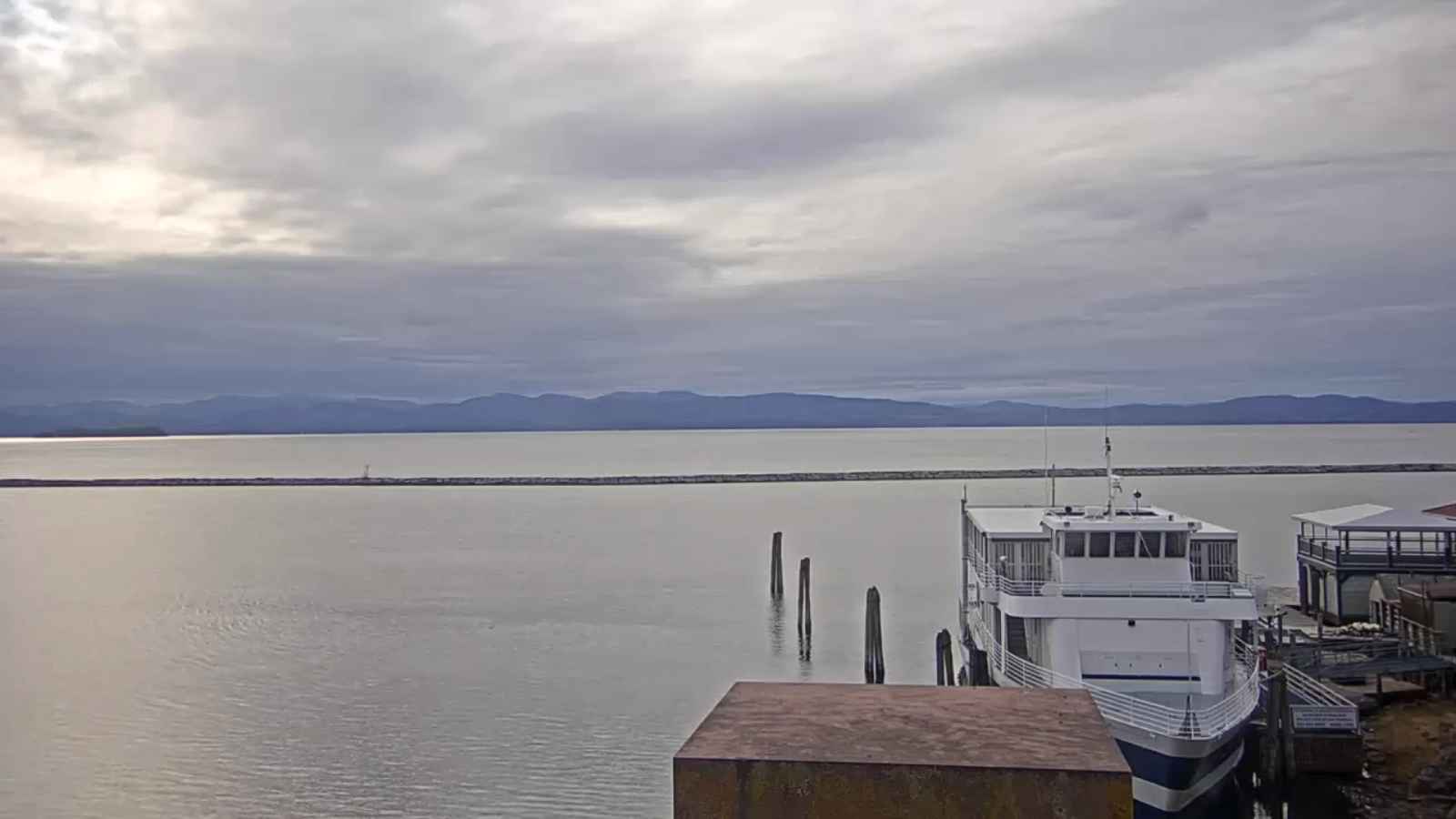
THURSDAY: Filtered sun then thickening clouds. Chance for spotty light rain far southern areas late. A high near 45. Light northwest winds.

Looking further ahead…
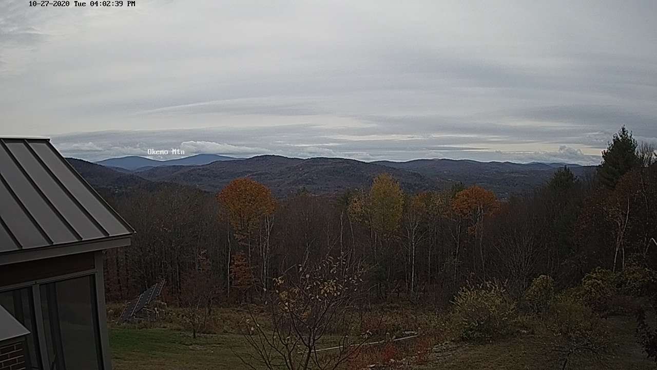
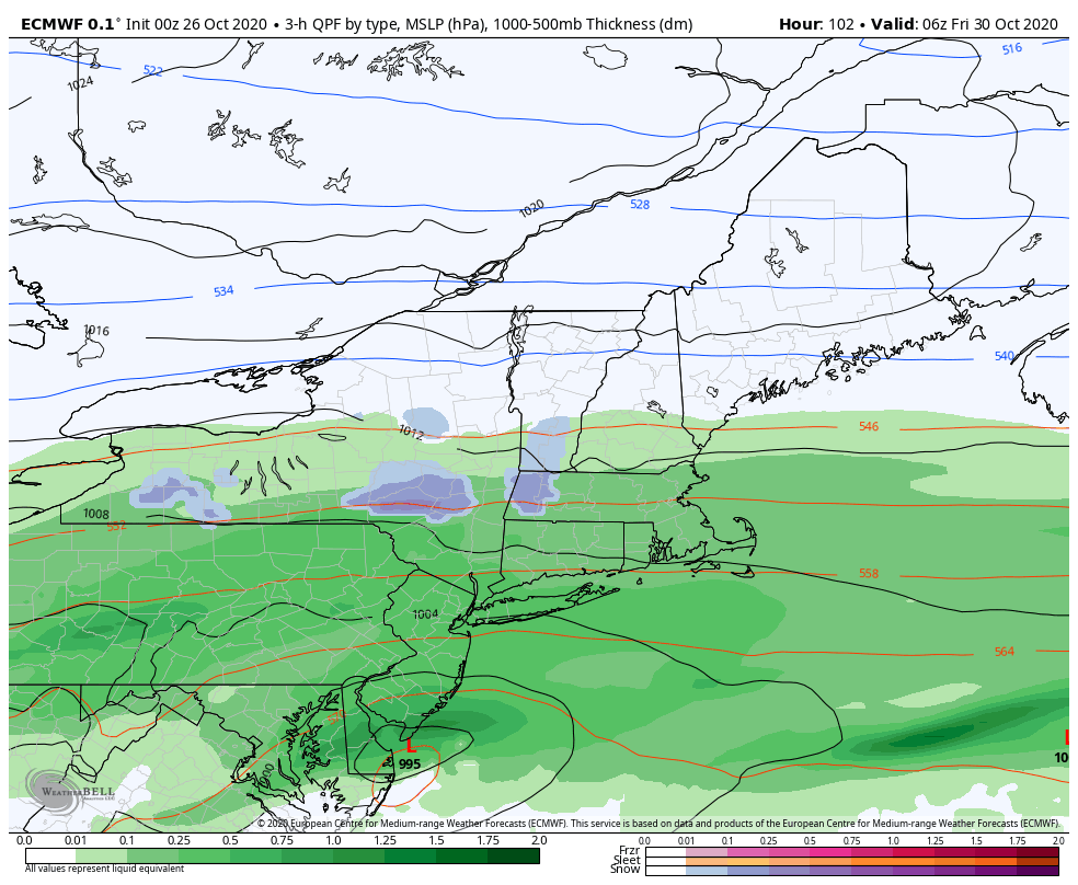
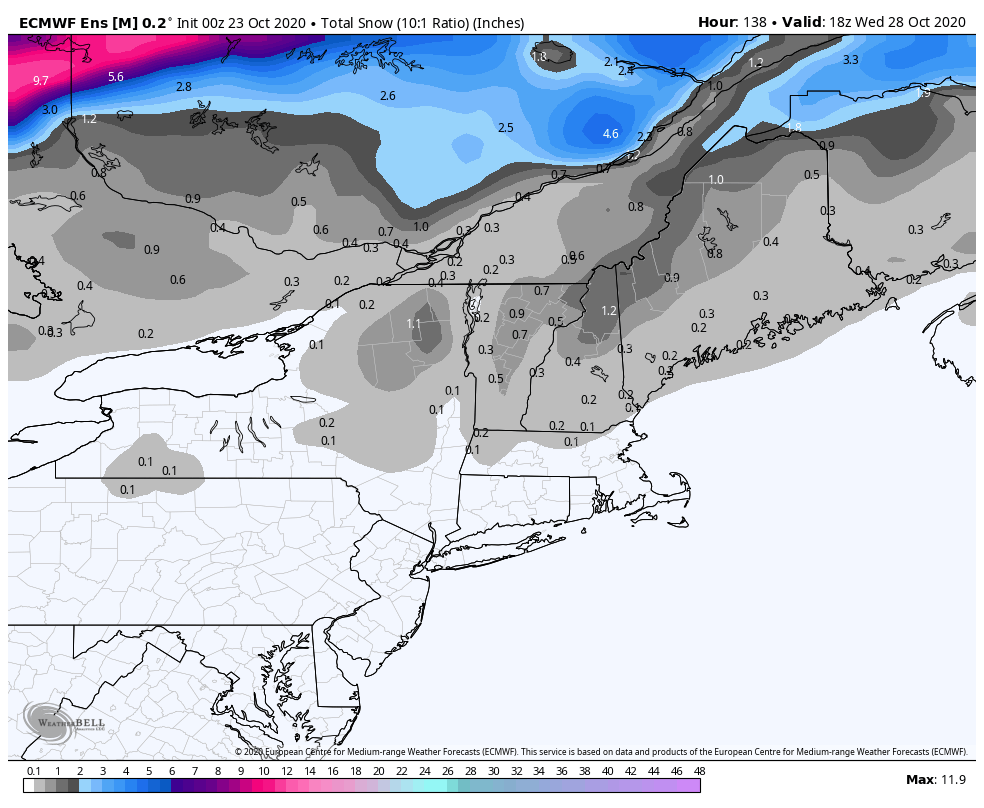
THURSDAY NIGHT: Periods of evening rain changes to accumulating wet snow. A 2 to locally 6” southern Greens with a dusting to 2” Barre-Montpelier area. A low in the upper 20s.

FRIDAY: Occasional light accumulating snow or snow showers central and southern areas exiting in the afternoon with partial clearing. A high in the mid to upper 30s.

SATURDAY: Partly to mostly sunny but chilly. A low 20 to 25. A high 35 to 40 about 15 degrees below normal.

SUNDAY: Filtered sunshine followed by increasing cloudiness. A rising chance for rain showers in the afternoon. A low near 25. A high in the mid-40s.

Average low ranging upper 20s to mid-30s, Average highs 50 to 55.
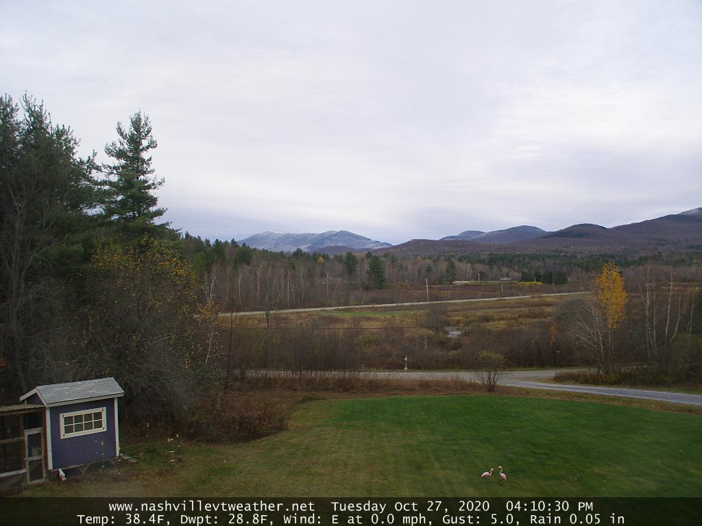
RH/10-26category forecast][end]
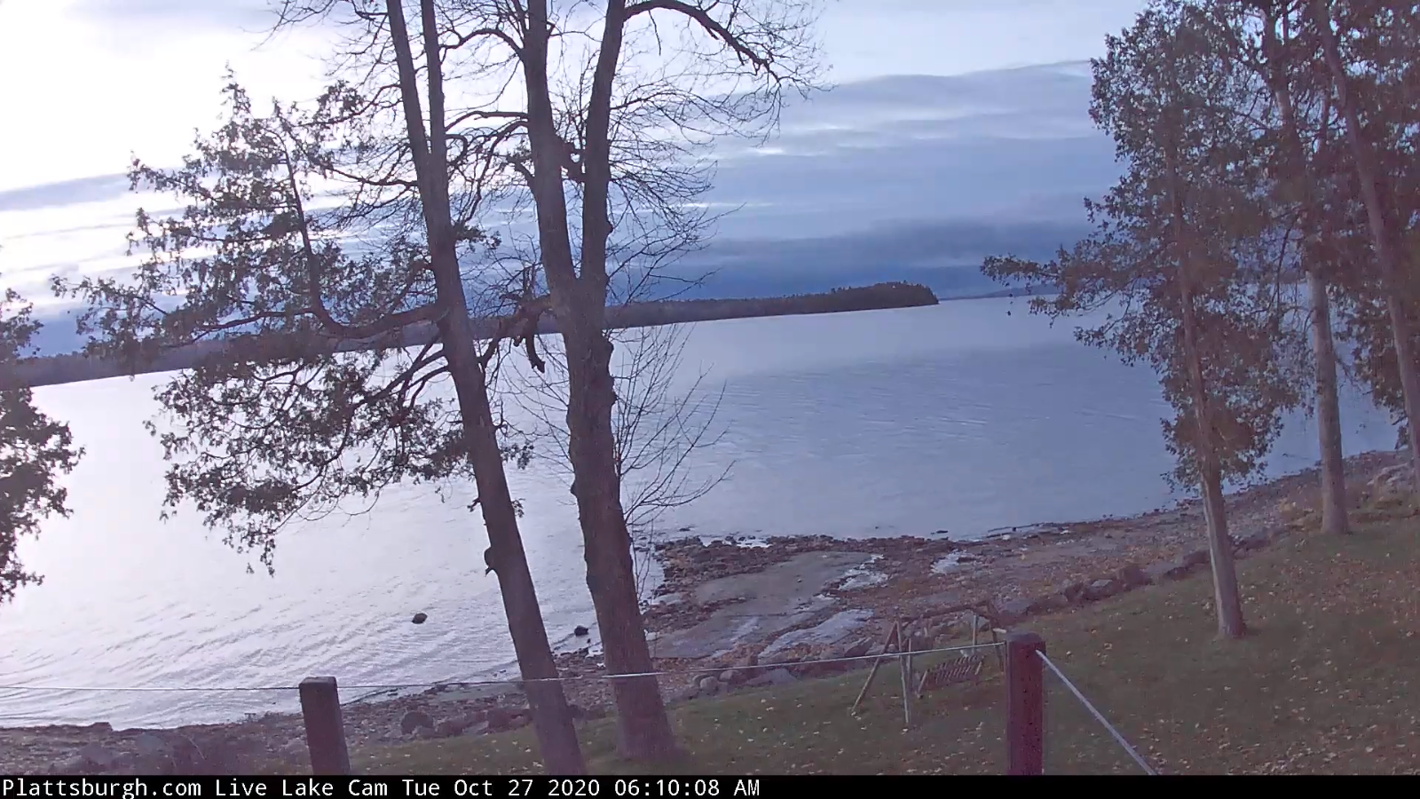
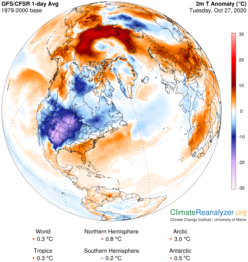
Updated Tuesday Morning Forecast — October 27th, 2020

TODAY: Clouds with some hints of sun developing away from the mountains. A high near 45. Northwest winds 10 mph.

TONIGHT: Scattered clouds to mostly clear. A low upper 20s to low 30s. Light southeast winds.

WEDNESDAY: Clouds, with possible breaks of sun. Widely scattered mountain sprinkles. A high in the mid to upper 40s. Southwest breeze 10 to 20 mph.

Looking further ahead…

WEDNESDAY NIGHT: Mostly clear. A low in the low to mid 30s.

THURSDAY: Morning sunshine, then thickening clouds. Chance for a shower of rain or wet snow developing late southern areas. A high in the mid-40s.

THURSDAY NIGHT: Chance for rain showers…changing to accumulating wet snow. A couple/few inches possible especially high terrain. A low near 30.

FRIDAY: Overcast. Chance for snow…possible moderate accumulation especially southern Vermont exiting late. Temperatures holding in the low 30s.

SATURDAY: Partly to mostly sunny but well below normal in temperature. A low around 20. A high only around 35 or about 15 to 20 degrees below normal.

Average low ranging upper 20s to mid-30s, Average highs 50 to 55.

RH/10-26category forecast][end]
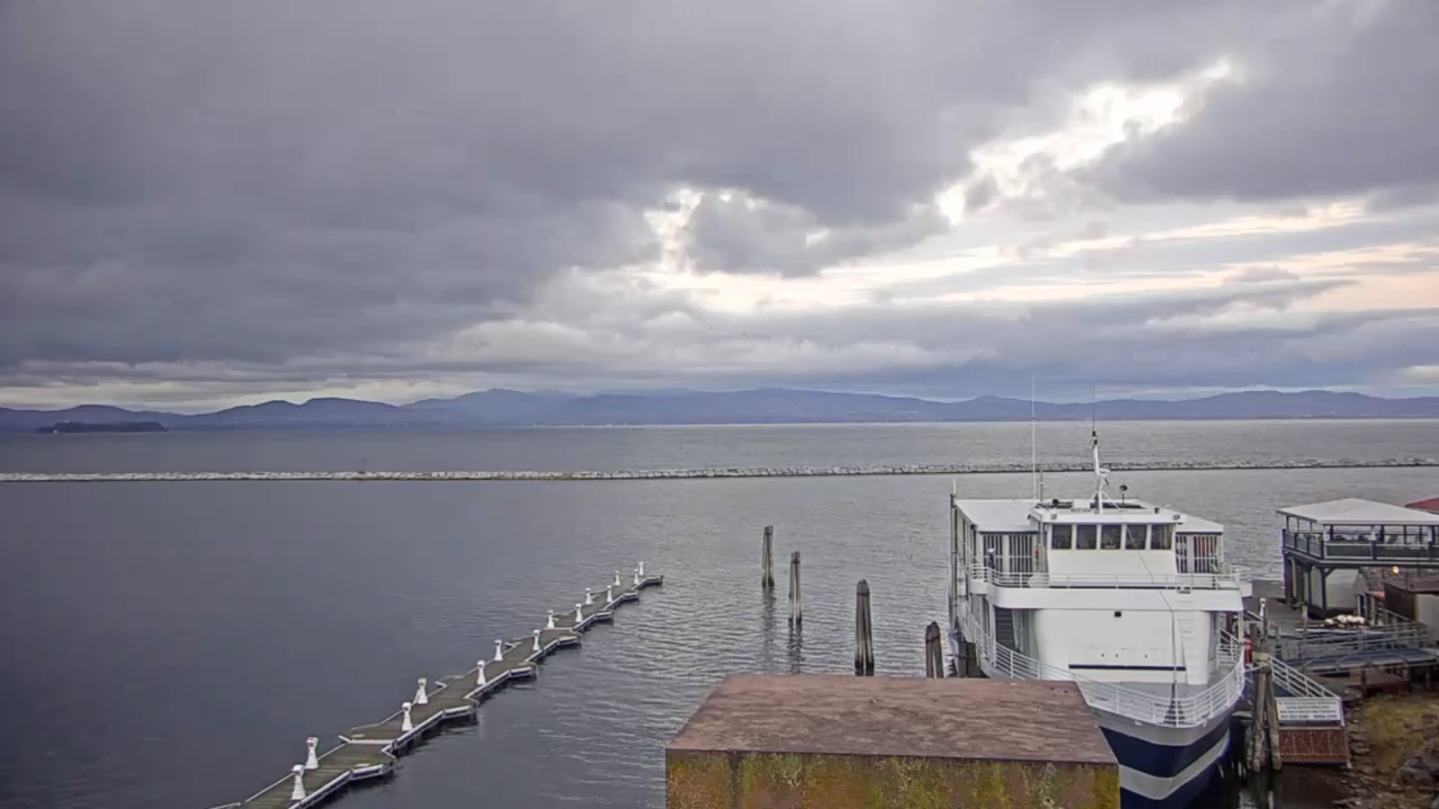
Updated Monday Evening Forecast — October 26th, 2020

TONIGHT: Considerable cloudiness Scattered light rain showers areas of drizzle mixed with wet snowflakes higher northern terrain overnight exiting around daybreak. A low mid to upper 30s. Light winds becoming northwesterly 10 mph.

TOMORROW: Mainly cloudy. Maybe a late day sprinkle. A high 40 to 45. Northwest winds 10 mph.

TUESDAY NIGHT: Partly cloudy for a time then clouding up. A low upper 20s to around 30. Light southeast winds.

WEDNESDAY: Clouds, with periods of sunshine developing away from the mountains. A high in the upper 40s. Southwest breeze 10 to 20 mph.

Looking further ahead…

WEDNESDAY NIGHT: Mostly clear. A low around 32.

THURSDAY: Morning sunshine gives way to lots of clouds later in the afternoon. A rising chance for rain showers southern & central areas. A high 45 to 50.

THURSDAY NIGHT: Chance for rain showers…changing to accumulating wet snow. A couple/few inches possible. A low near 32

FRIDAY: Overcast. Chance for snow…possible moderate accumulation especially central and southern. Temperatures falling into the 20s.

SATURDAY: Partly to mostly sunny but well below normal in temperature. A low around 20. A high only around 35 or about 15 to 20 degrees below normal.

Average low ranging upper 20s to mid-30s, Average highs 50 to 55.

RH/10-26category forecast][end]
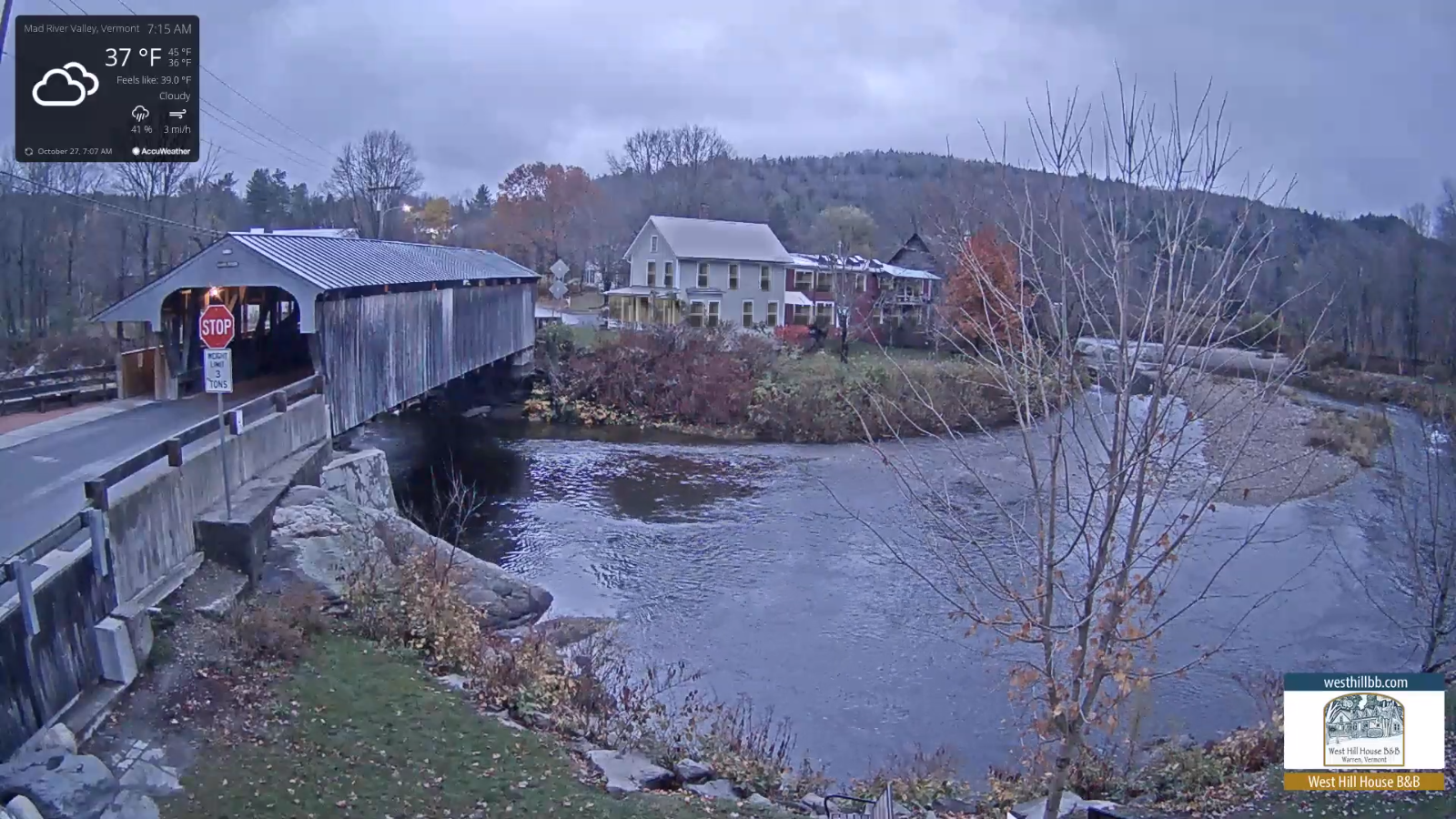
Updated Monday Morning Forecast — October 26th, 2020

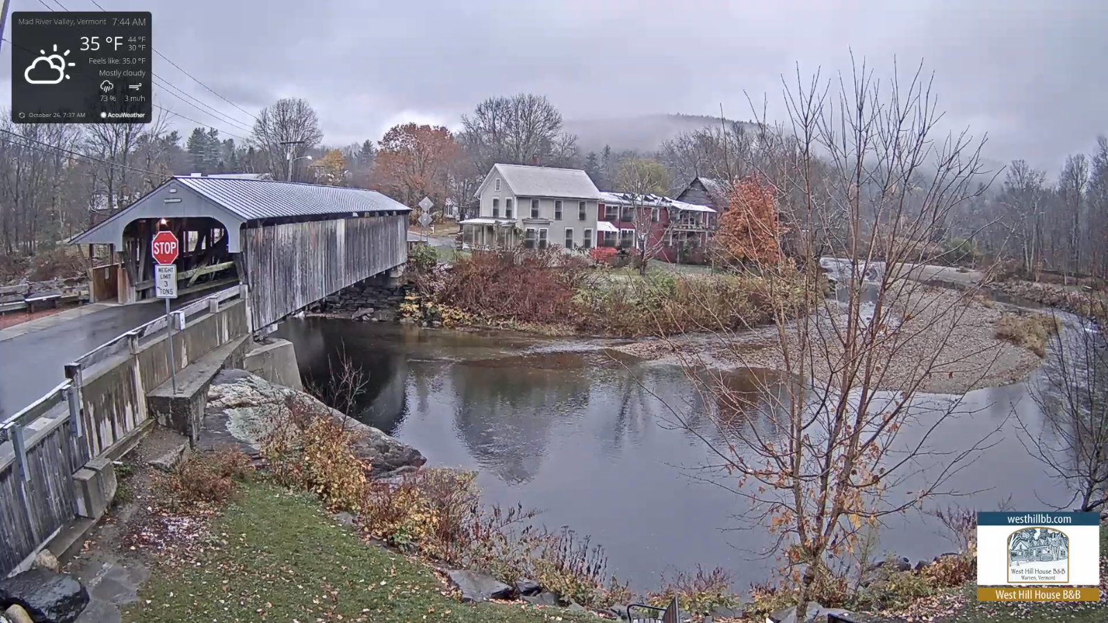
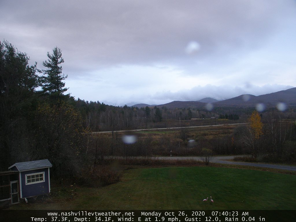
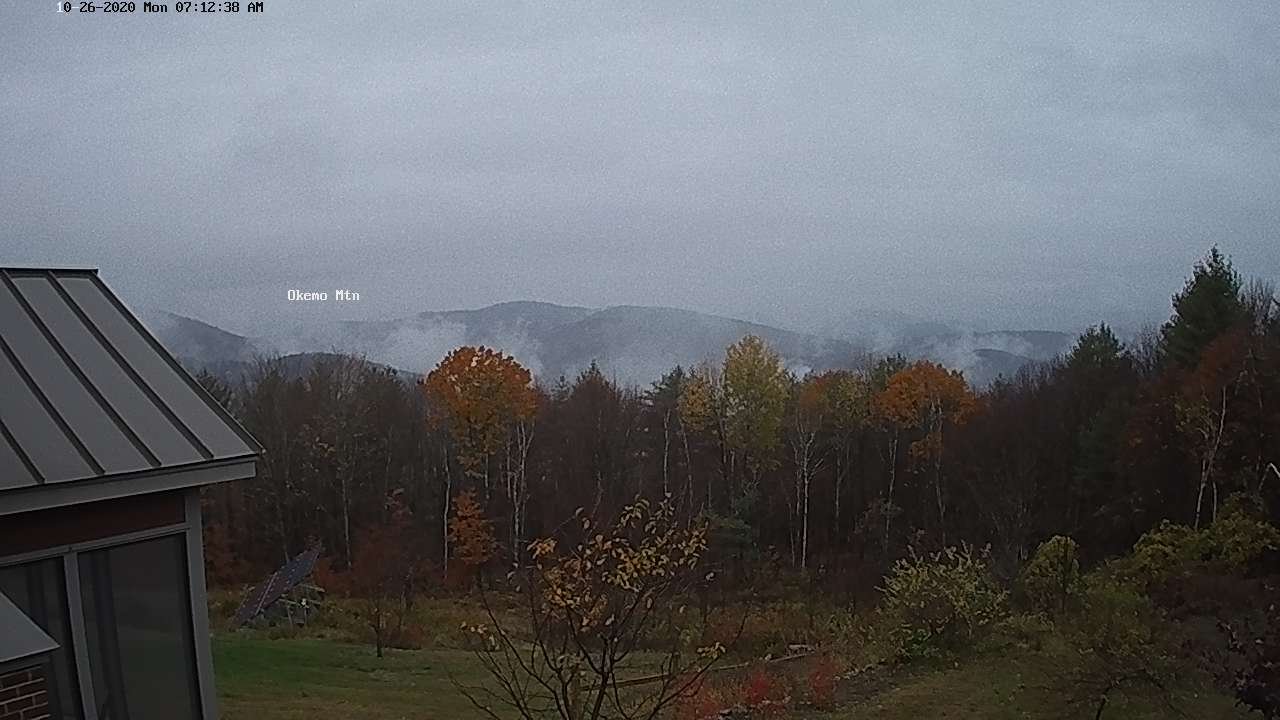
TODAY: Cloudy and gray. A brief period of wet snow showers changing to rain this morning. Minor accumulation grassy surfaces mainly higher terrain. Occasional rain showers this afternoon. A high reaching the mid-40s. Southeast winds 10 to 15 mph.

TONIGHT: Scattered rain showers mixed with wet snow flakes higher terrain before exiting. Otherwise lots of clouds. A low around 35. Light winds becoming northwesterly 10 mph.

TUESDAY: Mainly cloudy. Chance for a brief rain shower, mixed with a few wet snow flakes. A high low to mid 40s. Northwest winds 10 mph.

Looking further ahead…

TUESDAY NIGHT: Partly cloudy for a time then clouding up. A low upper 20s.

WEDNESDAY: Clouds with intervals of sun away from the mountains. A high in the mid-40s.

THURSDAY: Morning sunshine gives way to lots of clouds later in the afternoon. A rising chance for rain showers mixing with wet accumulating snow, especially southern and central areas. A dusting to 3” possible down to some valley floors. A low around 32. A high near 45.

FRIDAY: Considerable clouds. Chance for a lingering rain or snow shower. A low around 30. A high mid to upper 30s.

Average low ranging upper 20s to mid-30s, Average highs 50 to 55.

RH/10-26category forecast][end]
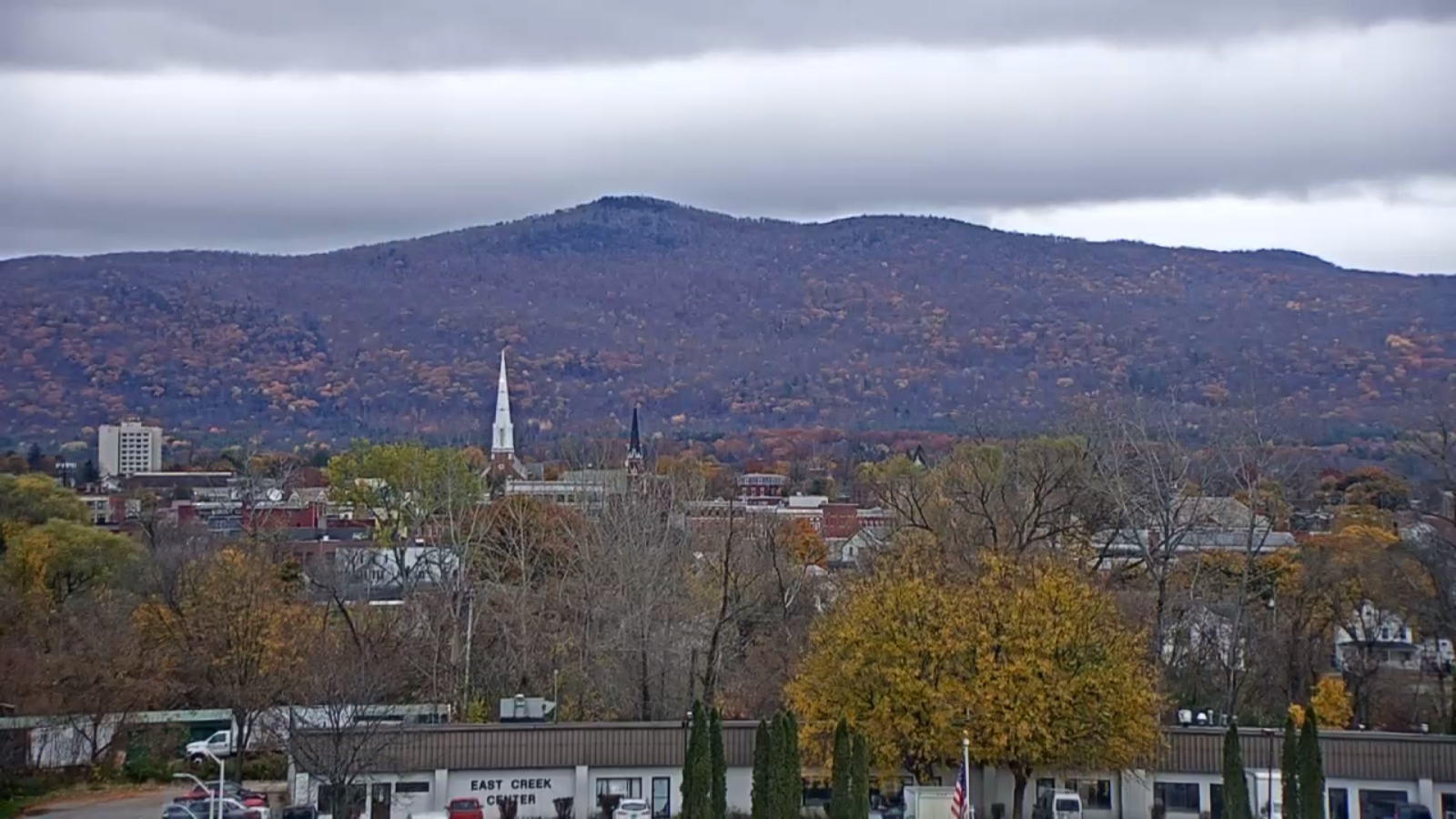
Updated Friday Evening Forecast — October 23rd, 2020

TONIGHT: Variably cloudy this evening, clouding up later overnight. Slight chance for a few showers Champlain valley toward daybreak. Mild overnight with a low in the mid-50s. South breeze 10 to 15 mph.

TOMORROW: A round of showers in the morning, exiting in the afternoon. A high in the low 60s…turning sharply colder in the afternoon with temperatures falling thru the 50s into the 40s in the afternoon. South winds becoming northwest 10 to 20 mph.

SATURDAY NIGHT: Clearing and cooler. A low around 30. Light northwest winds.

SUNDAY: Mostly sunny but rather chilly. A high around 45. North winds 10 mph.

Looking further ahead…

SUNDAY NIGHT: Mostly clear then more clouds later overnight. A low near 32.

MONDAY: Gray & breezy. Showers likely maybe a wet snowflake in the hills. A high 40 to 45.

TUESDAY: Continued gray. Chance for rain showers. A low around 40. A high 45 to 50.

WEDNESDAY: Scattered sprinkles & flurries across the higher terrain. Otherwise intervals of afternoon sun. A low 30 to 35. A high in the mid to upper 40s

Average low ranging thru the low to mid 30s, Average highs in the low to mid 50s.

RH/10-22category forecast][end]
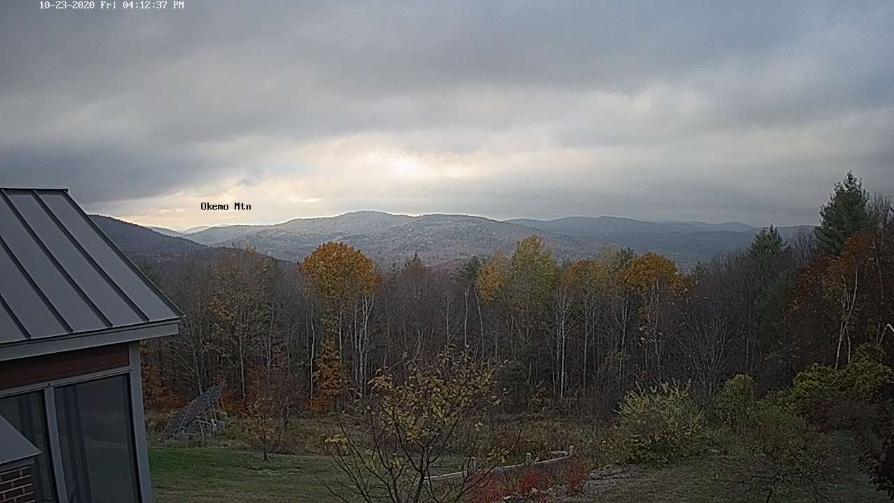
Updated Friday Morning Forecast — October 23rd, 2020

TODAY: Spotty areas of drizzle or sprinkles dries up later this morning. Otherwise, clouds mixing with intervals of sun away from the mountains. Breezy at times. A high near 65. South breeze 10 to 20 mph.

TONIGHT: Partly cloudy. A low 40 to 45. South breeze 10 to 15 mph.

SATURDAY: Lots of clouds. Scattered light showers. A high around 60. South winds becoming northwest winds 10 to 15 mph.

Looking further ahead…

SATURDAY NIGHT: Evening clouds then clearing. A low in the lower 30s.

SUNDAY: Mostly sunny but rather chilly. A high around 45.

MONDAY: Gray & breezy. Showers likely late morning on. A low near 30. A high in the mid-40s.

TUESDAY: Periods of rain or showers. A few wet snowflakes high terrain northern areas. Showers exit early to mid-afternoon. A low 35 to 40. A high 45 to 50.

WEDNESDAY: Scattered sprinkles or flurries across the higher terrain. Otherwise intervals of afternoon sun. A low 30 to 35. A high in the mid to upper 40s

Average low ranging thru the low to mid 30s, Average highs in the low to mid 50s.

RH/10-22category forecast][end]
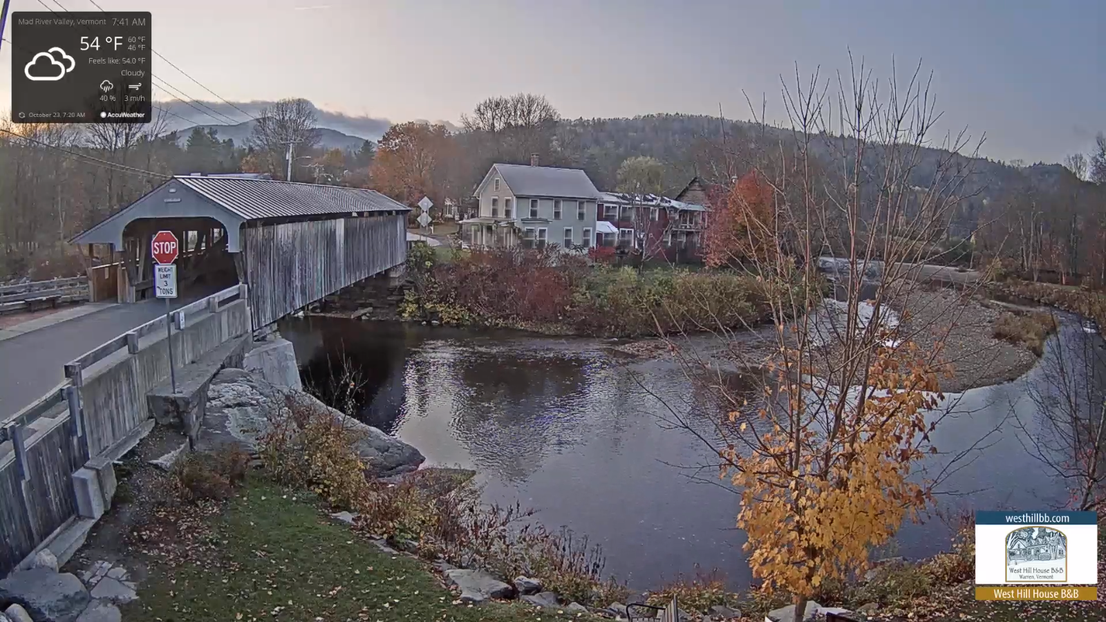
Updated Thursday Evening Forecast — October 22nd, 2020

TONIGHT: Considerable cloudiness. Spotty light drizzle developing toward daybreak. A low near 45. Light south to southwest winds.

TOMORROW: Morning clouds with areas of drizzle or sprinkles dries up, then clouds mixed with intervals of sun. Breezy at times. A high near 65. South breeze 10 to 20 mph.

FRIDAY NIGHT: Partly cloudy. A low 40 to 45. South breeze 10 to 15 mph.

SATURDAY: Lots of clouds. Scattered light showers. A high around 60. Northwest winds 10 to 15 mph.

Looking further ahead…

SATURDAY NIGHT: Evening clouds then clearing. A low in the low 30s.

SUNDAY: Some high cloudiness, but decent amounts of sunshine. Chilly. A high in the mid-40s.

MONDAY: Gray & breezy. Chance for periods of rain or showers. A low 30 to 35. A high in the upper 40s.

TUESDAY: Partly sunny north, cloudy south with a threat of showers. A low mid to upper 30s. A high 50 to 55.

WEDNESDAY: Scattered light snow showers or flurries early. Otherwise periods of afternoon sun. A low 30 to 35. A high in the mid to upper 40s

Average low ranging thru the low to mid 30s, Average highs in the low to mid 50s.

RH/10-22category forecast][end]
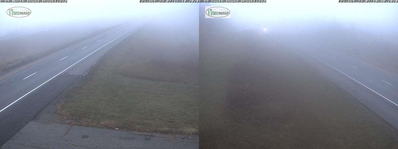
Updated Thursday Morning Forecast — October 22nd, 2020

TODAY: Clouds lingering northern areas otherwise partly sunny and dry. A high around 60. Light northwest winds.

TONIGHT: Clouding up. Spotty light sprinkles or drizzle developing around daybreak. A low near 45. Light west winds.

FRIDAY: Morning clouds with areas of drizzle or sprinkles dries up, then clouds mixed with intervals of sun. Breezy at times. A high 60 to 65. South to southeasterly breeze 10 to 20 mph.

Looking further ahead…

FRIDAY NIGHT: Partly cloudy. A low 40 to 45.

SATURDAY: Becoming mostly cloudy. Scattered light showers. A high in the upper 50s to around 60.

SUNDAY: Lots of sunshine but much cooler. A low near 30. A high in the mid to upper 40s.

MONDAY: Gray & breezy. Chance for periods of rain or showers. A low 30 to 35. A high in the upper 40s.

TUESDAY: Chance for a morning showers…exiting to partial sunshine. A low mid to upper 30s. A high 50 to 55.

Average low ranging thru the low to mid 30s, Average highs in the low to mid 50s.

RH/10-22category forecast][end]
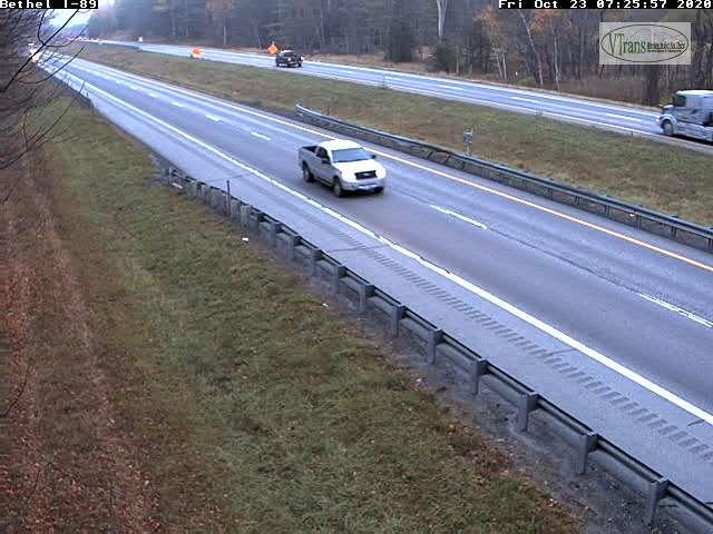
Updated Wednesday Evening Forecast — October 21st, 2020

TONIGHT: Scattered showers, maybe a rumble of thunder Champlain valley…winding down later this evening. Otherwise partly cloudy. A low 40 to 45. Southwest winds 10 mph shifting to northwesterly.

TOMORROW: Mixed sun and clouds giving way to more afternoon sunshine. A high in the lower 60s. Light northwest winds.

THURSDAY NIGHT: Cloudy. Spotty light sprinkles or drizzle developing overnight. A low near 45. Light west winds.

FRIDAY: Morning clouds with areas of drizzle or sprinkles dries up, then partly sunny. Breezy at times. A high low to mid 60s. South to southeasterly breeze 10 to 20 mph.

Looking further ahead…

FRIDAY NIGHT: Partly cloudy. A low 40 to 45.

SATURDAY: Becoming mostly cloudy. Scattered light showers. A high in the upper 50s.

SUNDAY: Lots of sunshine. A low near 32. A high in the upper 40s.

MONDAY: Gray & breezy. Chance for periods of rain or showers. A low 30 to 35. A high 50 to 55.

TUESDAY: Chance for a morning showers…exiting to partial sunshine. A low in the upper 30s. A high in the mid-50s.

Average low ranging thru the low to mid 30s, Average highs in the low to mid 50s.

RH/10-20category forecast][end]
Updated Wednesday Morning forecast — October 21st, 2020

TODAY: Chance for a few showers toward the Champlain Valley northern areas, otherwise clouds with possible breaks of sun central and southern areas. Breezy at times. A high around 65. South breeze 10 to 25 mph, stronger Lake Champlain.

TONIGHT: A round of showers…moderate at times…with a risk for few rumbles of thunder this evening, otherwise becoming partly cloudy. A low 40 to 45. Southwest winds 10 mph shifting to northwesterly.

THURSDAY: Mixed sun and clouds giving way to more afternoon sunshine. A high in the lower 60s. Light northwest winds.

Looking further ahead…

THURSDAY NIGHT: Lows cloudiness with a chance for some spotty drizzle. A low near 45.

FRIDAY: Pick of the week. Morning clouds, slight chance for spotty drizzle…then increasing amounts of sunshine. Breezy at times. A high pushing to near 65.

SATURDAY: Becoming mostly cloudy. Chance for scattered light passing showers. A low around 45. A high around 60.

SUNDAY: Partly to mostly sunny. A low near 32. A high mid to upper 40s.

Average low ranging thru the low to mid 30s, Average highs in the low to mid 50s.

RH/10-20category forecast][end]