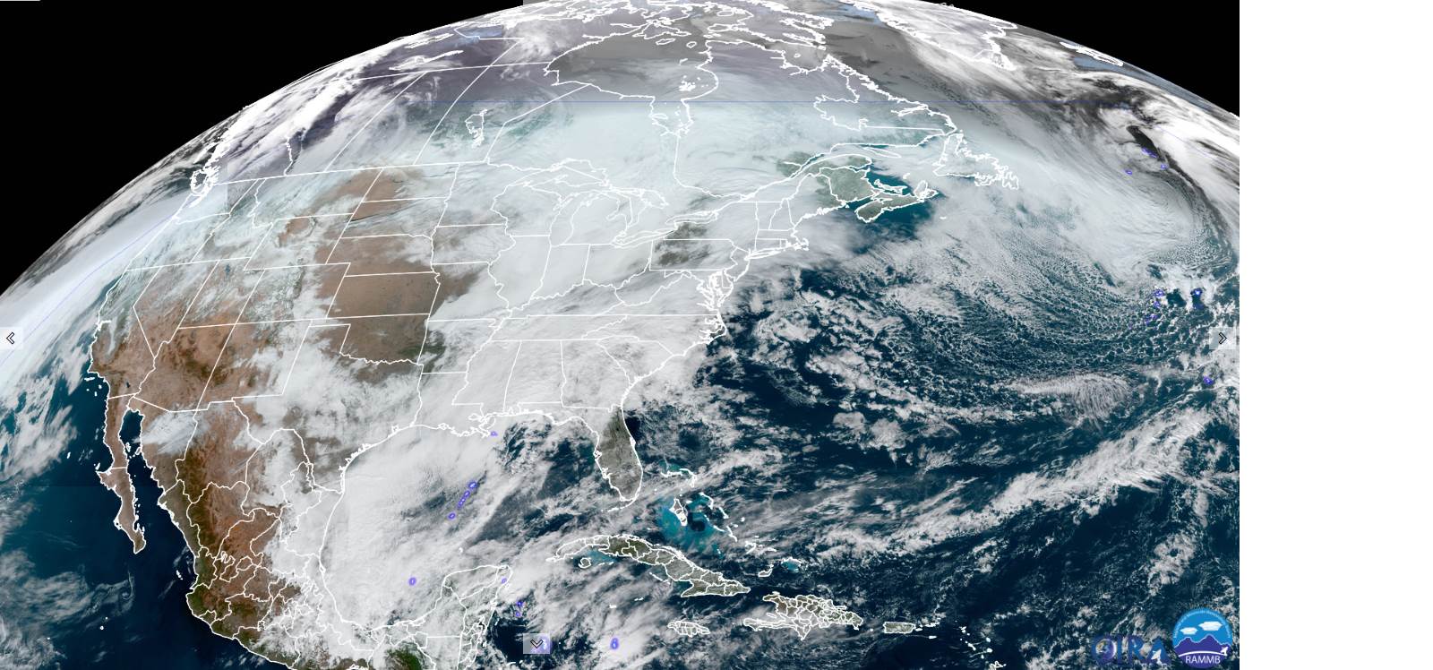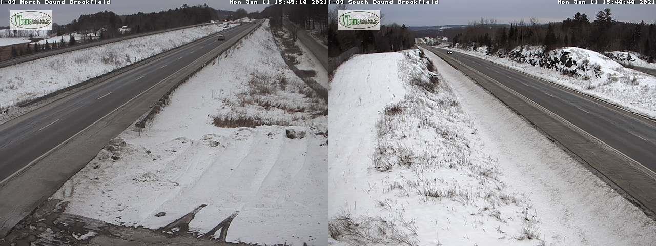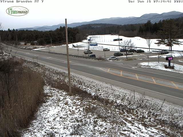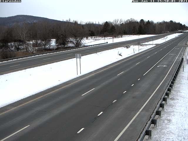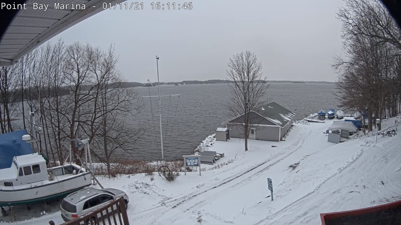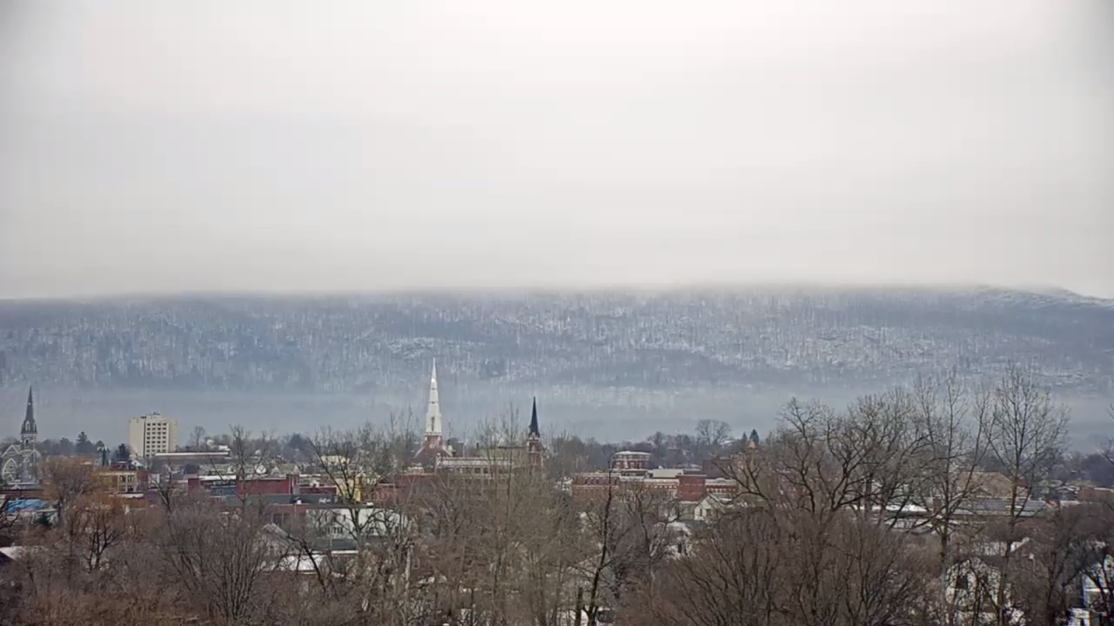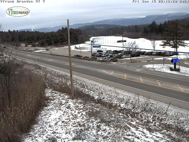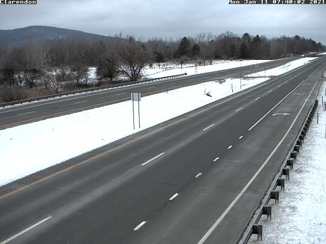
Updated Friday Evening Forecast — January 15th, 2021

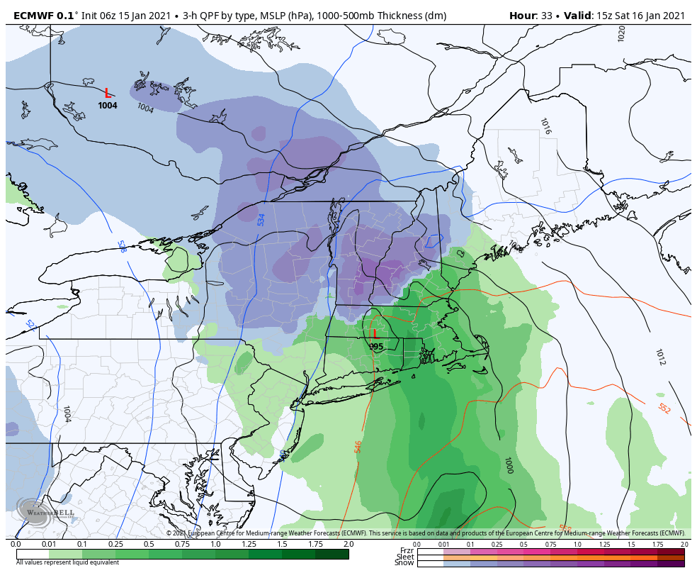
Winter Storm Warning portions of the south central Green Mountains…Winter Weather Advisory N. Vermont all but Champlain Valley…1 AM Saturday morning thru late day Sunday.

TONIGHT: Cloudy. Accumulating wet snow develops overnight…moderate to heavy at times south…lighter to the north. Accumulations 1 to 2” north…with 2 to locally 7” southern Greens. A low upper 20s. Southeast winds 10 to 15 mph.
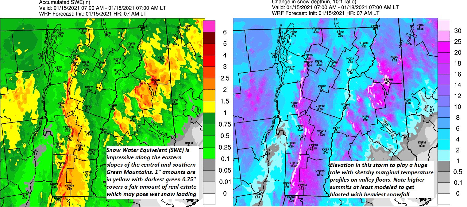
TOMORROW: Gray. Periods of wet snow, moderate at times…mix3ed with rain valleys in the afternoon. Total accumulation 1 to 4” valleys…about 4 to locally 10” Green Mountain ski resorts. A late day high around 35. East to southeast winds 10 to 20 mph with higher gusts elevated terrain.

SATURDAY NIGHT: Cloudy. Accumulating snow or snow showers. Additional 2 to locally 3” especially northern Green Mountains. A low near 30. Wind becoming westerly overnight 10 mph.

SUNDAY: Clouds giving way to intervals of sun away from the mountains. Chance for left-over mountain snow showers or flurries. A dusting to 2 inches. Turning blustery. A high around 32. Westerly breeze 10 to 20 mph.
Looking further ahead…

SUNDAY NIGHT: Partly to mostly cloudy. Isolated flurries. A low mid to upper teens

MONDAY: Mostly cloudy, blustery and colder. A widely scattered mountain flurry. A high 25 to 30.
TUESDAY: Partly sunny and colder. A low zero to 10 above. A high in the low 20s.

WEDNESDAY: Mostly cloudy. Chance for mountain snow showers and valley flurries. Minor accumulation. A low 5 to 15 above. A high 20 to 25.

Average low ranging thru the single digits to low teens, Average highs in the 20s.
Peak of Winter End of Winter March 9th… based off local climatology.
Updated Friday Morning Forecast — January 15th, 2021

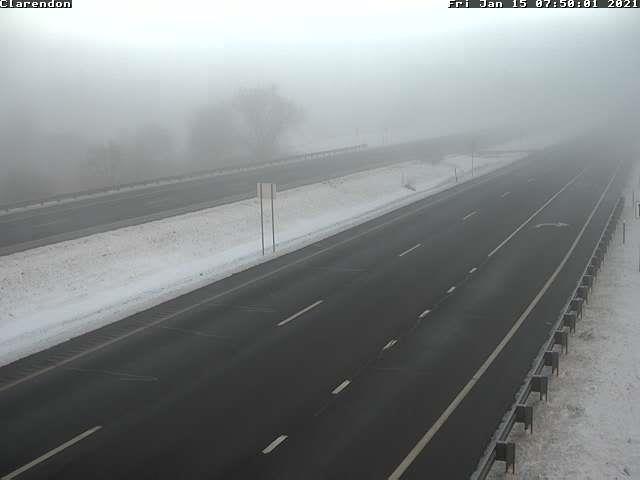
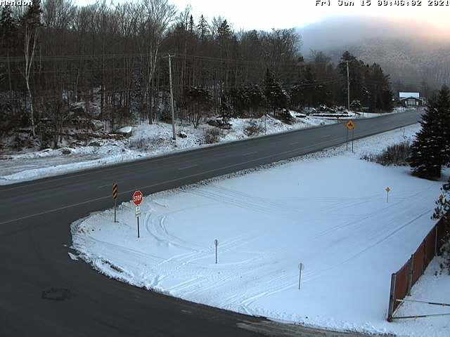
TODAY: Clouds mixing with period’s sunshine. A bit milder. A high in the mid to upper 30s. Light southeast winds.

Winter Weather Advisory 1 AM Saturday thru 4 PM Sunday.

TONIGHT: Cloudy. Periods of accumulating wet snow likely after midnight…moderate to heavy at times southern Greens. A dusting to 2” northern areas…with 2 to locally 5” southern Green Mountains. A low about 30. Southeast winds 10 to 15 mph.

SATURDAY: Gray. Periods of wet snow, moderate at times…mixing with rain valleys in the afternoon. Total accumulation 1 to 4” valleys…about 3 to locally 8” mid to upper slopes of the Green Mountains. A late day high in the mid-30s. East to southeast winds 10 to 20 mph with higher gusts elevated terrain.

Looking further ahead…

SATURDAY NIGHT: Cloudy. Accumulating snow or snow showers. Additional 1 to locally 3” especially northern Green Mountains. A low upper 20s.

SUNDAY: Clouds giving way to intervals of sun away from the mountains. Chance for left-over mountain snow showers or flurries with minor additional accumulation. Turning blustery. A high around 32.

MONDAY: Mostly cloudy, blustery and colder. A widely scattered mountain flurry. A low mid to upper teens. A high mid-20s.

TUESDAY: Partly sunny and colder. A low zero to 10 above. A high around 20.

WEDNESDAY: Mostly cloudy. Chance for mountain snow showers and valley flurries. Minor accumulation. A low in the mid-teens. A high in the mid-20s.

Average low ranging thru the single digits to low teens, Average highs in the 20s.

Peak of Winter End of Winter March 9th… based off local climatology.
RH/1-14 category forecast][end]

Updated Thursday Evening Forecast — January 14th, 2021

TONIGHT: Lots of clouds. A low in the lower 20s to near 25. Light northeast winds.

TOMORROW: Mixed clouds and few periods of sun. A bit milder. A high in the mid to upper 30s. Light southeast winds.

FRIDAY NIGHT: Cloudy. Periods of accumulating wet snow likely after midnight…moderate to heavy at times southern Greens. A dusting to an inch northern areas…with 1 to locally 3” southern Green Mountains. A low about 30. Southeast winds 10 to 15 mph.

SATURDAY: Gray. Periods of wet snow…mixing with rain valleys in the afternoon. Total accumulation 1 to 3” valleys…about 2 to locally 6” mid to upper slopes of the Green Mountains. A late day high in the mid-30s. East to southeast winds 10 to 20 mph with higher gusts elevated terrain.

Looking further ahead…

SATURDAY NIGHT: Cloudy. Good chance for occasional light accumulating snow or snow showers. A low upper 20s.

SUNDAY: Clouds giving way to intervals of sun away from the mountains. Chance for left-over mountain snow showers or flurries with minor additional accumulation. Turning blustery. A high in the low 30s.

MONDAY: Mostly cloudy, blustery and colder. Widely scattered mountain flurry. A low in the mid-teens. A high around 25.

TUESDAY: Partly sunny and colder. A low zero to 10 above. A high upper teens to mid-20s.

Average low ranging thru the single digits to low teens, Average highs in the 20s.

Peak of Winter End of Winter March 9th… based off local climatology.
RH/1-14 category forecast][end]

Updated Thursday Morning Forecast — January 14th, 2021

TODAY: Overcast. A rising chance for flurries Barre-Montpelier area north. Just a skiff of snow in some spots. A high in the mid-30s. Little wind.

TONIGHT: Lots of clouds. Isolated flurries mainly northern areas wind down. A low around 25. Light northeast winds.

FRIDAY: Mixed clouds and few periods of sun. A bit milder. A high mid to upper 30s. Southeast winds 10 mph.

Looking further ahead…

FRIDAY NIGHT: Cloudy. Periods of accumulating wet snow likely after midnight…moderate to heavy at times southern Greens. A dusting to an inch northern areas…with 2 to locally 5” southern Green Mountains. A low upper 20s to around 30.

SATURDAY: Gray. Periods of wet snow…mixing with rain valleys in the afternoon. Total accumulation 1 to 3” valleys…3 to 6” mid to upper slopes of the Green Mountains. A late day high in the mid-30s.

SUNDAY: Clouds giving way to intervals of sun away from the mountains. Chance for left-over mountain snow showers or flurries with minor accumulation. Turning blustery. A low 25 to 30. A high 30 to 35.

MONDAY: Mixed sun and clouds, blustery and turning sharply colder. Maybe a mountain flurry. A low 15 to 20. A high around 25.

TUESDAY: Partly sunny. A low in the single digits. A high in the mid-20s.

Average low ranging thru the single digits to low teens, Average highs in the 20s.

Peak of Winter End of Winter March 9th… based off local climatology.
RH/1-13 category forecast][end]

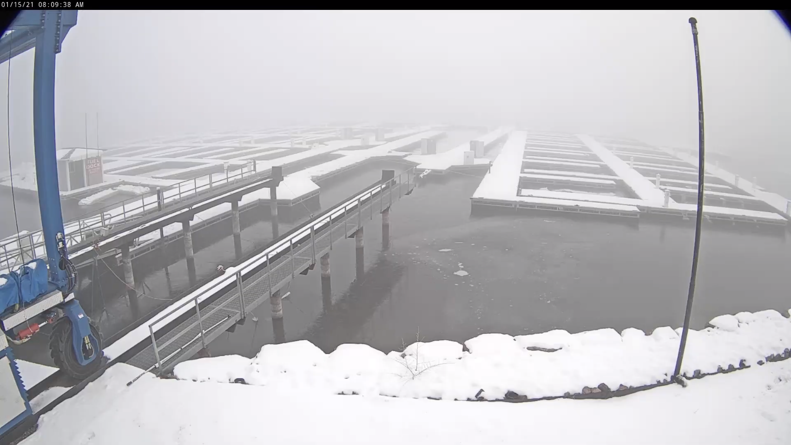
Updated Wednesday Evening Forecast — January 13th, 2021

TONIGHT: Cloudy. Chance for a few flurries far northern areas little to no accumulation. A low 20 to 25. Light south winds.

TOMORROW: Overcast. Chance for a few flurries far north & far south, no accumulation. A high in the mid-30s. Little wind.

THURSDAY NIGHT: Mostly cloudy. A low upper teens to low 20s. Light northeast winds.

FRIDAY: Mixed clouds and few periods of sun. A bit milder. A high 35 to 40. Southeast winds 10 mph.

Looking further ahead…

FRIDAY NIGHT: Cloudy. Chance for light accumulating wet snow developing overnight. A dusting to an inch. A low upper 20s to low 30s.

SATURDAY: Gray. Chance for wet snow…mixed with rain lower valleys. Accumulation 1 to locally 5” with the most across elevated terrain. Temperatures ranging about 32 to 35.

SUNDAY: Considerable cloudiness giving way to intervals of sun away from the mountains. Chance for mountain snow showers with additional minor accumulation. Turning blustery. A low 20 to 25. A high around 30.

MONDAY: Mixed sun and clouds, blustery and turning sharply colder. Maybe a mountain flurry. A low 10 to 15. A high in the 20s.

TUESDAY: Partly sunny. A low 5 to 15 above. A high in the mid-20s.

Average low ranging thru the single digits to low teens, Average highs in the 20s.

Peak of Winter End of Winter March 9th… based off local climatology.
RH/1-13 category forecast][end]

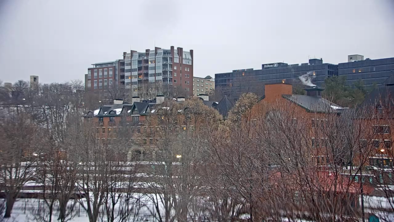
Updated Wednesday Morning forecast — January 13th, 2021

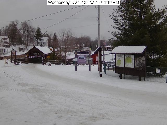
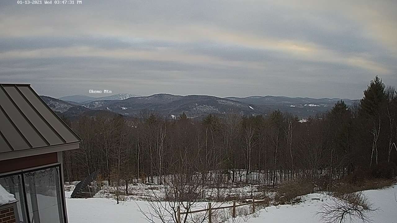
TODAY: A brief mountain flurry this morning…watch for slick spots. Clouds with a break of sun. A high 32 to 35. Southwest winds 10 mph.

TONIGHT: Cloudy. A low 20 to 25. Light south winds.

THURSDAY: Overcast. A period of flurries or light snow showers likely possibly mixed with rain drops valleys floors south of the Barre-Montpelier area. Slushy accumulation of up to an inch in the higher spots. A high in the mid to upper 30s. Little wind.

Looking further ahead…

THURSDAY NIGHT: Isolated evening mountain flurries with a dusting in spots. Otherwise mostly cloudy. A low around 20.

FRIDAY: Morning clouds, give way to periods filtered sunshine. Turning milder. A high 35 to 40. Breezy at times from the southeast.

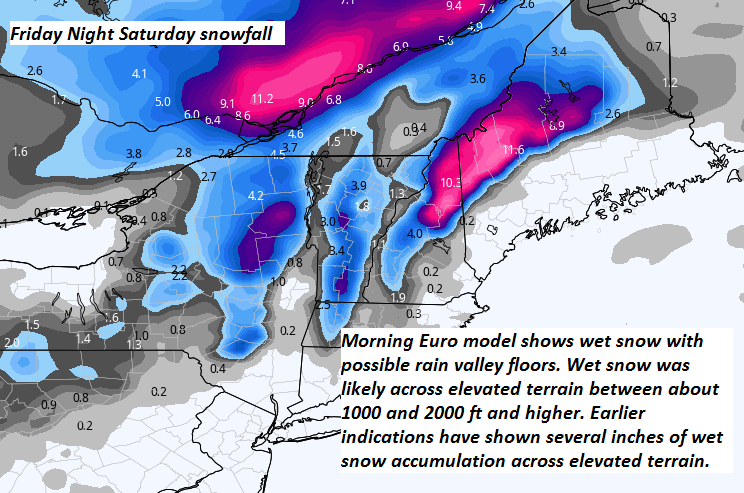
SATURDAY: Gray. Chance for wet snow…possibly mixed with rain drops valleys. Accumulation across elevated terrain of a few possibly several inches. Temperatures ranging about 30 to 35.

SUNDAY: Considerable cloudiness giving way to intervals of sun away from the mountains. Chance for mountain snow showers with additional minor accumulation. Turning blustery. A low near 25. A high around 32.

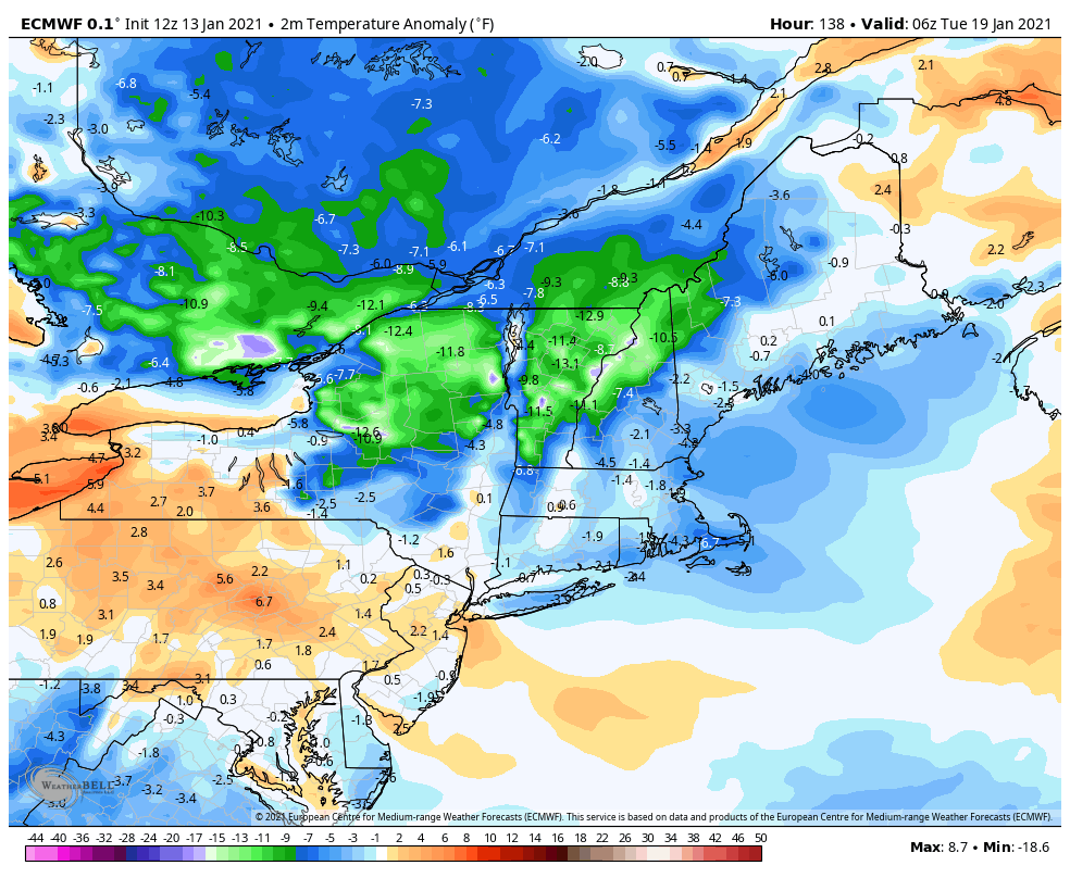
MONDAY: Mixed sun and clouds, blustery and turning sharply colder. Occasional mountain flurries or snow showers. A low in the teens. A high 20 to 25.

Average low ranging thru the single digits to low teens, Average highs in the 20s.

Peak of Winter End of Winter March 9th… based off local climatology.
RH/1-13 category forecast][end]

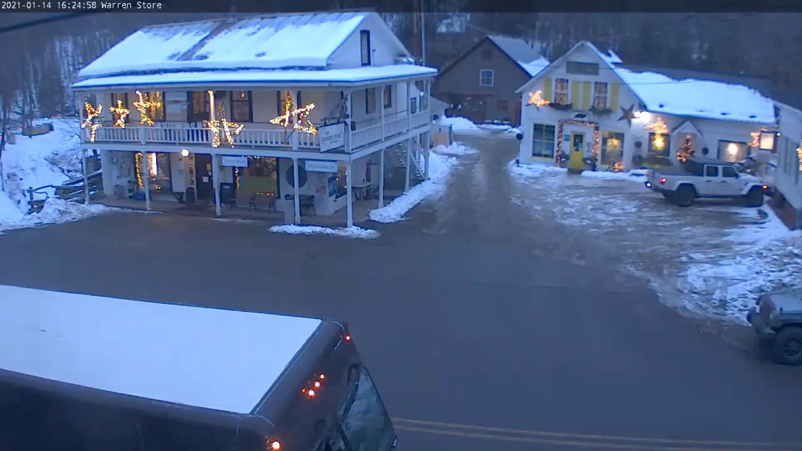
Updated Tuesday Evening Forecast — January 12th, 2021

TONIGHT: Widely scattered flurries especially central and southern areas with a dusting in spots. Otherwise lots of clouds. A low mid-teens to low 20s. Light southwest winds.

TOMORROW: Mainly gray with a break or two of sun. A high 30 to 35. Southwest winds 10 mph.

WEDNESDAY NIGHT: Mostly cloudy. A low 20 to 25. Light south winds.

THURSDAY: Mainly cloudy. Good chance for flurries mixed with rain drops valley floors mainly southern areas. Little to no accumulation. A high mid to upper 30s. Little wind.

Looking further ahead…

THURSDAY NIGHT: Scattered leftover mountain flurries with a dusting in spots. Otherwise mostly cloudy. A low around 20.

FRIDAY: Morning clouds, give way to periods filtered sunshine. Turning milder. A high mid to upper 30s. Breezy at times from the southeast.

SATURDAY: Gray. Chance for wet snow…with possible rain valley floors. Accumulation across elevated terrain of a few inches possible. Temperatures holding in the low to mid 30s.

SUNDAY: Considerable cloudiness giving way to intervals of sun away from the mountains. A few leftover flurries. Turning blustery. A low near 25. A high in the low 30s.

MONDAY: Mixed sun and clouds with the chance for mountain flurries. A low around 20. A high upper 20s to around 30.

Average low ranging thru the single digits to low teens, Average highs in the 20s.

Peak of Winter End of Winter March 9th… based off local climatology.
RH/1-12 category forecast][end]

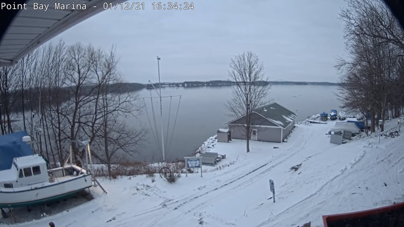
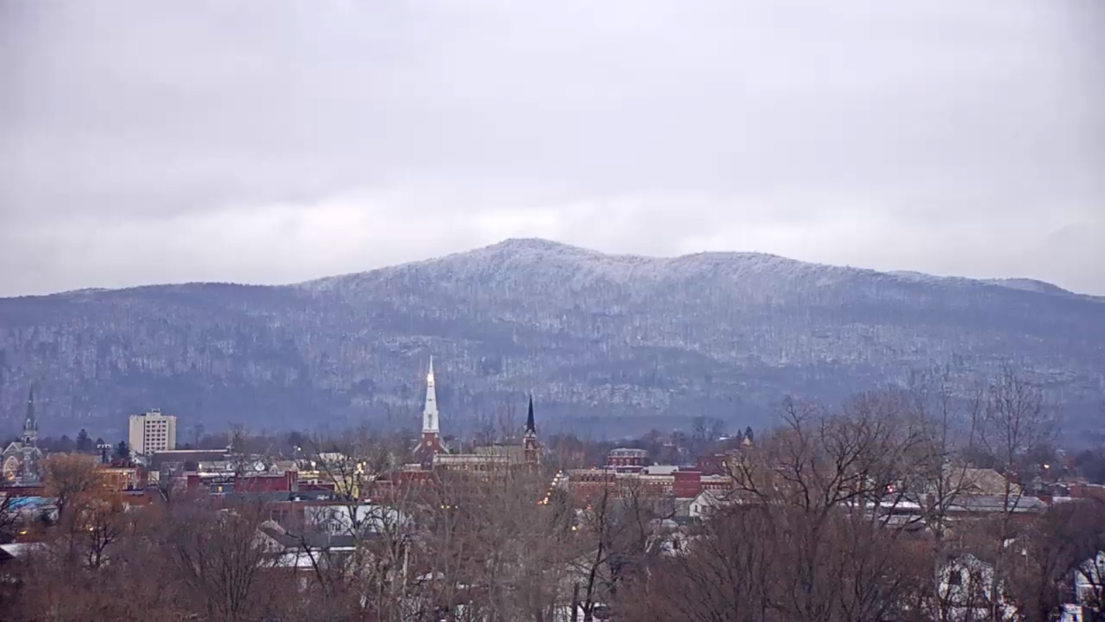
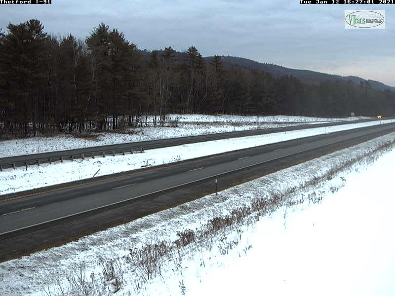
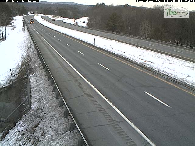
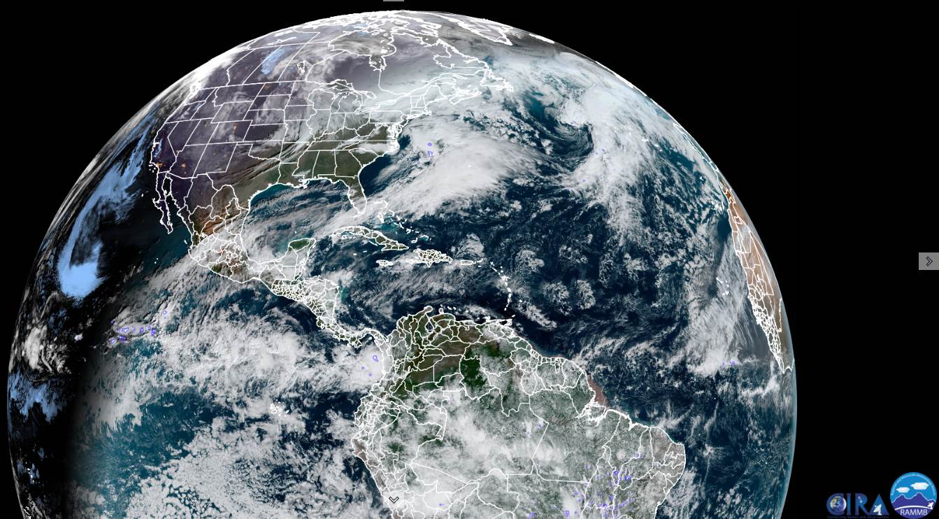
Updated Tuesday Morning Forecast — January 12th, 2021

TODAY: An occasional flurry northern areas with light coating in spots into thru late morning before tapering off. Otherwise gray with a few breaks of sun possible this afternoon. A high in the low 30s. Winds becoming west to northwest 10 mph.

TONIGHT: Isolated flurries central and southern areas. Otherwise lots of clouds. A low upper teens to low 20s. Light southwest winds.

Approximate Peak of Meteorological winter…

WEDNESDAY: Mainly gray with a break or two of sun. A high around 32 degrees. Southwest winds 10 mph.

Looking further ahead…

WEDNESDAY NIGHT: Mostly cloudy. A low 20 to 25.

THURSDAY: Mainly cloudy. Chance for flurries mixed with rain drops mainly southern areas. A high mid to upper 30s.

FRIDAY: Morning clouds, give way to periods filtered sunshine. Turning milder. A low 20 to 25. A high upper 30s to near 40. Breezy at times from the southeast.

SATURDAY: Gray. Chance for mixed wet snow with rain valley floors. Accumulation dusting to locally 3 inches across high terrain. Temperatures ranging in the low to mid 30s.

SUNDAY: Considerable cloudiness giving way to intervals of sun away from the mountains. Turning blustery. A low in the mid-20s. A high around 32.

Average low ranging thru the single digits to low teens, Average highs in the 20s.

Peak of Winter (coldest averages) January 23rd. End of Winter March 9th… based off local climatology.
RH/1-12 category forecast][end]

Updated Monday Evening Forecast — January 11th, 2021

TONIGHT: Lots of clouds. Widely scattered flurries mainly northern areas. Some minor accumulation. A low upper teens to low 20s. Light south winds.

TOMORROW: Chance for flurries northern areas with light coating in spots in the morning, exiting in the afternoon. Otherwise mainly cloudy. A high around 32. Winds becoming west to northwest 10 mph.

TUESDAY NIGHT: Isolated flurries central and southern areas. Otherwise lots of clouds. A low ranging thru the teens. Light south winds.

Approximate Peak of Meteorological winter…

WEDNESDAY: Clouds with a few breaks of sun. A high around 32 degrees. Southwest winds 10 mph.

Looking further ahead…

WEDNESDAY NIGHT: Mostly cloudy. A low in the mid-teens to around 20.

THURSDAY: Mainly cloudy. Chance for flurries mixed with sprinkles valley floors. A high mid-30s.

FRIDAY: Morning clouds, give way to periods filtered sunshine. Milder. A low ranging thru the 20s. A high pushing to around 40.

SATURDAY: Gray. Scattered mixed rain & wet snow showers. Temperatures holding in the low to mid 30s.

Average low ranging thru the single digits to low teens, Average highs in the 20s.

Peak of Winter (coldest averages) January 23rd. End of Winter March 9th… based off local climatology.
RH/1-11 category forecast][end]

Updated Monday Morning Forecast — January 11th, 2021

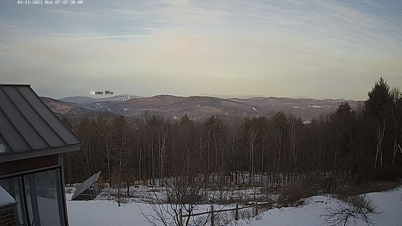
TODAY: Considerable mainly high cloudiness, with a few hints of sun this morning. Thickening clouds, a rising chance for few flurries developing late. A high upper 20s to about 30. Light southwest winds.

TONIGHT: Mostly cloudy. Scattered flurries mainly northern areas. Accumulation a dusting to half inch. A low 15 to 20. Light south winds.

TUESDAY: Chance for flurries northern areas with light coating in spots in the morning, exiting in the afternoon. Otherwise mainly cloudy. A high around 32. Winds becoming west to northwest 10 mph.

Looking further ahead…

TUESDAY NIGHT: Isolated flurries central and southern areas. Otherwise becoming partly cloudy. A low 5 to 15.

Approximate Peak of Meteorological winter…

WEDNESDAY: A few clouds but lots of sunshine. A high near 32 degrees.

THURSDAY: Mainly cloudy. Chance for flurries. A low 15 to 20. A high mid to upper 30s.

FRIDAY: Morning clouds, give way to periods filtered sunshine. Milder. A low a low in the low to mid 20s. A high pushing to near 40.

Average low ranging thru the single digits to low teens, Average highs in the 20s.

Peak of Winter (coldest averages) January 23rd. End of Winter March 9th… based off local climatology.
RH/1-8 category forecast][end]