Updated Friday Evening Forecast — January 8th, 2021

TONIGHT: Mostly clear this evening, turning partly cloudy overnight northern areas. A low ranging about 5 to 15 above. Light northwest winds.

TOMORROW: More sun than clouds. A high near 25. Light northwest winds.
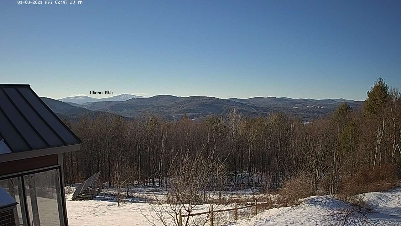
SATURDAY NIGHT: Scattered clouds. A low 5 to 15 above. Light northwest winds.

SUNDAY: Considerable amounts of sunshine. A high in the 20s. Light northwest winds.
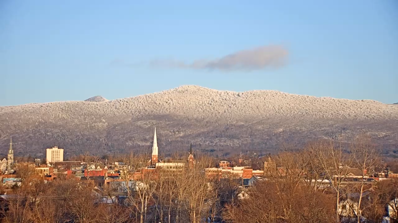
Looking further ahead…

SUNDAY NIGHT: Mostly clear. A low 5 to 15 above.

MONDAY: Sunshine filtered by high cloudiness. A high 25 to 30.
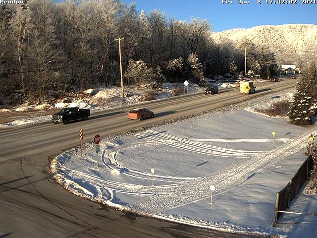
TUESDAY: Partly cloudy. Chance for flurries northern areas with light coating in spots. A low 15 to 20. A high around 32.

WEDNESDAY: Lots of sun. A low 5 to 15. A high near 32 degrees.

Average low ranging thru the single digits to low teens, Average highs in the 20s to near 30.

Peak of Winter (coldest averages) January 23rd. End of Winter March 9th… based off local climatology.
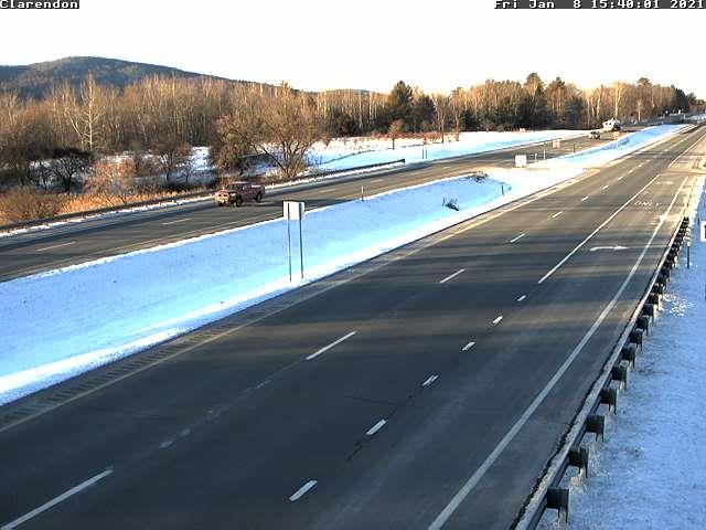
RH/1-8 category forecast][end]
Updated Friday Morning Forecast — January 8th, 2021

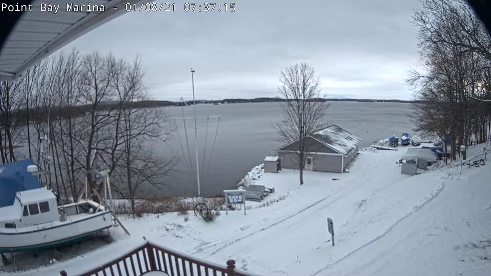
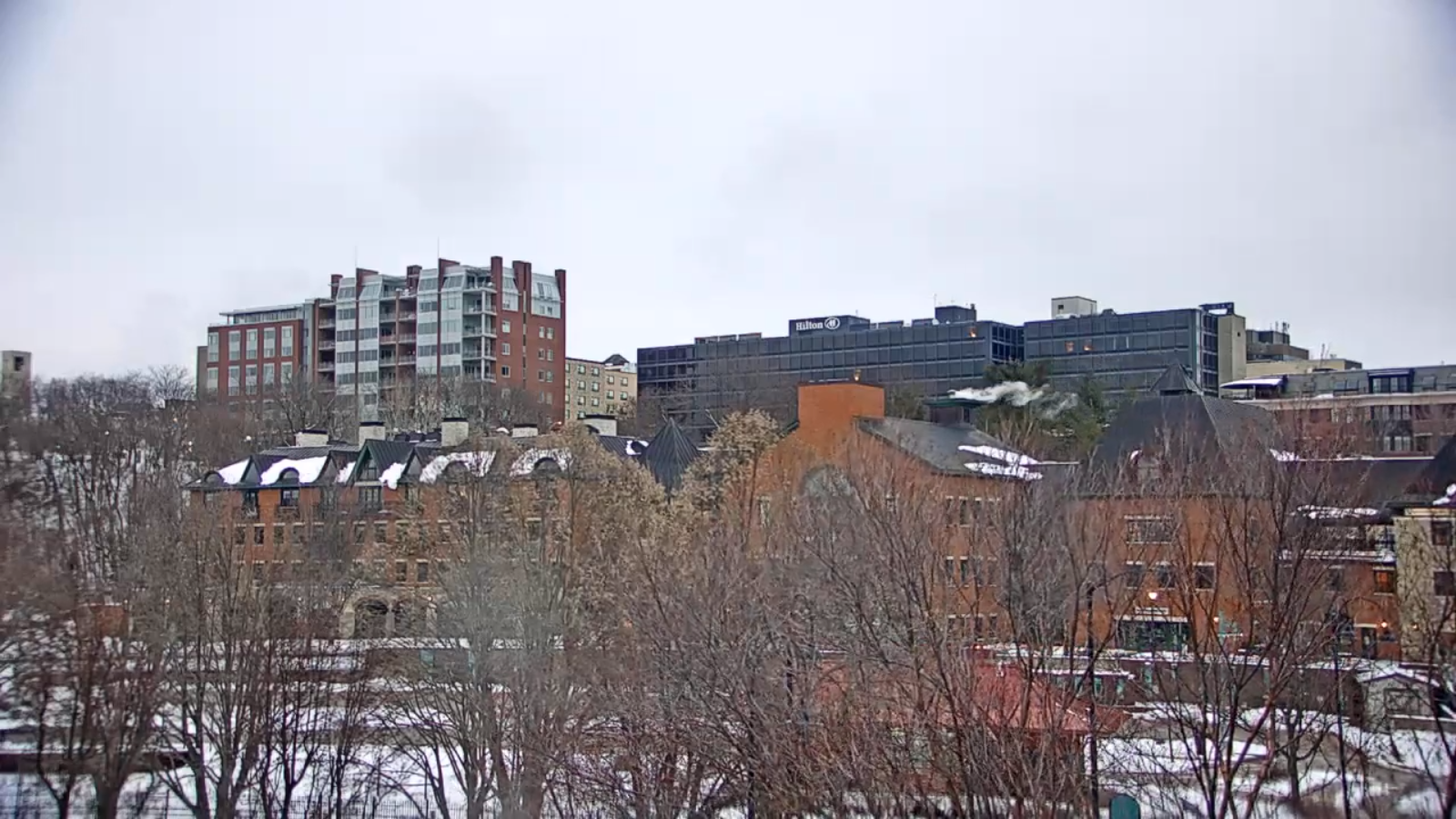
TODAY: Clouds with an isolated flurry or two Northeast Kingdom this morning. Skies become partly to mostly sunny this afternoon. Near seasonable temperatures. A high around 25. Northwest winds 10 mph.

TONIGHT: Mostly clear with a few more clouds toward the Northeast Kingdom. A low ranging from upper single digits to mid-teens. Light northwest winds.

SATURDAY: Partly to mostly sunny. A high near 25. Light northwest winds.

Looking further ahead…

SATURDAY NIGHT: Mostly fair with high clouds. A low around 10.

SUNDAY: Partly to mostly sunny. A high in the mid to upper 20s.

MONDAY: Sunshine filtered by high cloudiness. A low in the teens. A high upper 20s to around 30.

TUESDAY: Partly cloudy. Chance for flurries northern areas. A low 15 to 20. A high around 32.

WEDNESDAY: Lots of sun. A low near 20. A high around 32 degrees.

Average low ranging thru the single digits to low teens, Average highs in the 20s to near 30.

Peak of Winter (coldest averages) January 23rd. End of Winter March 9th… based off local climatology.

RH/1-8 category forecast][end]
Updated Thursday Evening Forecast — January 7th, 2021

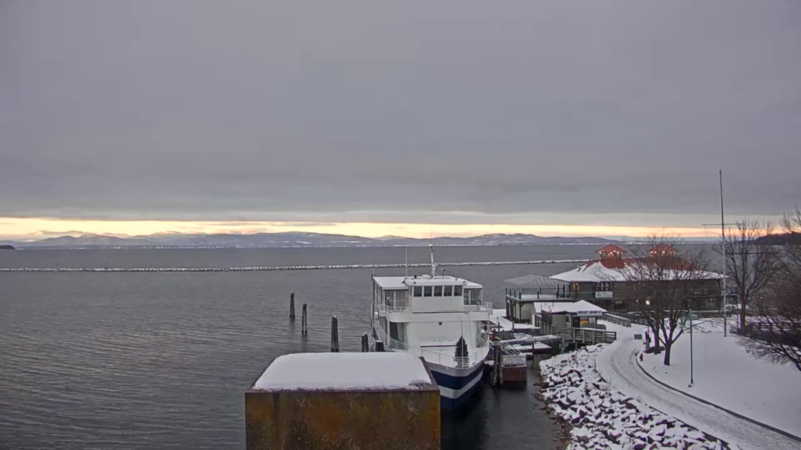
TONIGHT: Partly cloudy this evening more clouds overnight. A low 10 to 15. Light northwest winds.

TOMORROW: Morning clouds give way to decent afternoon sunshine. Near seasonable temperatures. A high around 25. Northwest winds 10 mph.

FRIDAY NIGHT: Mostly clear. A low about 5 to 15 above. Light northwest winds.

SATURDAY: Partly to mostly sunny. A high around 25. Light northwest winds.

Looking further ahead…

SATURDAY NIGHT: Mostly fair with high clouds. A low around 10.

SUNDAY: Partly to mostly sunny. A high low to mid 20s.

MONDAY: Sunshine filtered by high cloudiness. A low 10 to 15. A high in the middle 20s.

TUESDAY: Partly cloudy. Chance for flurries northern areas. A low around 10. A high near 30.

WEDNESDAY: Lots of sun. A low in the teens. A high in the mid-20s to around 30.

Average low ranging thru the single digits to low teens, Average highs in the 20s to near 30.

Peak of Winter (coldest averages) January 23rd. End of Winter March 9th… based off local climatology.

RH/1-7 category forecast][end]
Updated Wednesday Morning Forecast — January 7th, 2021

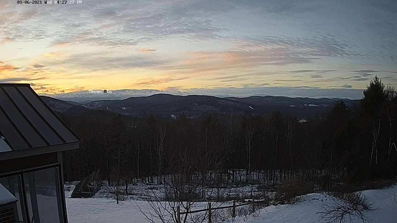
TODAY: Morning clouds mixed with periods of afternoon sun. A high in the mid-20s. Northwest winds 10 mph.

TONIGHT: Considerable cloudiness. A low around 15. Light northwest winds.

FRIDAY: Morning clouds mixed with periods of sun in the afternoon. A high in the mid-20s. Northwest winds 10 mph.

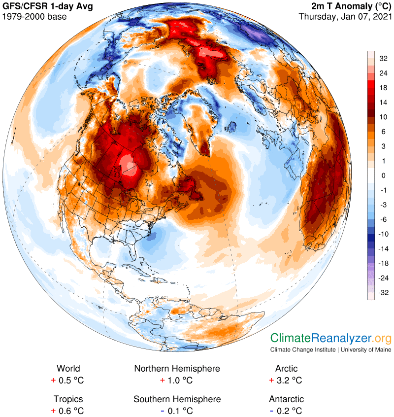
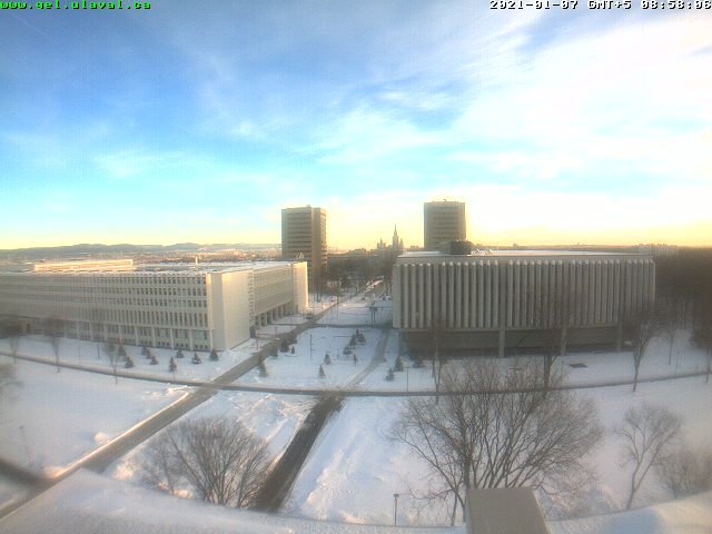
Below Quebec City…air flow coming from this region today…

Looking further ahead…

FRIDAY NIGHT: Mostly clear. A low in mid-single digits to low teens.

SATURDAY: Lots of sunshine. A high in the low to mid 20s.

SUNDAY: Partly to mostly sunny. A low ranging 5 to 15. A high low to mid 20s.

MONDAY: Sunshine filtered by high cloudiness. A low in the mid-teens. A high in the mid-20s to near 30.

TUESDAY: Variable high cloudiness. A low around 10. A high around 30.

Average low ranging thru the single digits to low teens, Average highs in the 20s to near 30.

Peak of Winter (coldest averages) January 23rd. End of Winter March 9th… based off local climatology.

RH/1-7 category forecast][end]
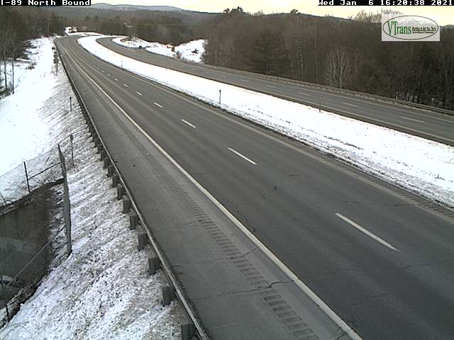
Updated Wednesday Evening Forecast — Treasonous January 6th, 2021

TONIGHT: Becoming partly cloudy. A low 15 to 20. Light northwest winds.

TOMORROW: More sun than clouds. A high 25 to 30. Northwest winds 10 mph.

THURSDAY NIGHT: Mostly cloudy. A low 10 to 15. Light northwest winds.

FRIDAY: Partly to mostly sunny. A high in the low to mid 20s. Northwest winds 10 mph.

Looking further ahead…

FRIDAY NIGHT: Mostly clear. A low in the single digits above zero.

SATURDAY: Lots of sunshine. A high low to mid 20s.

SUNDAY: Partly to mostly sunny. A low ranging from the single digits to mid-teens. A high low to mid 20s.

MONDAY: Sunshine mixed with afternoon clouds. A low in the mid-teens. A high 25 to 30.

Average low ranging thru the single digits to low teens, Average highs in the 20s to near 30.

Peak of Winter (coldest averages) January 23rd. End of Winter March 9th… based off local climatology.

RH/1-6 category forecast][end]
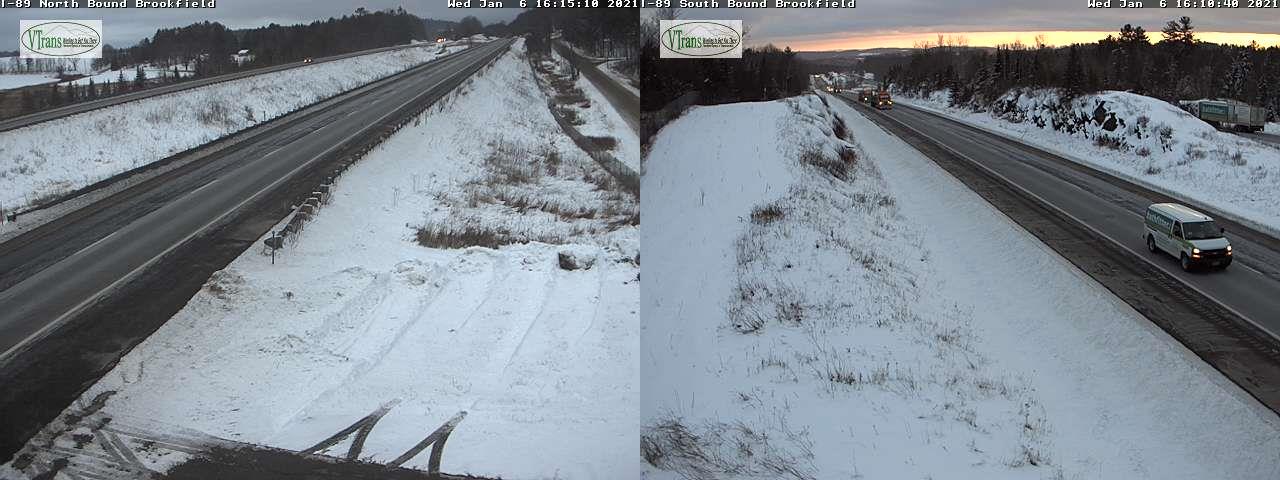
Updated Wednesday Morning Forecast — January 6th, 2021

TODAY: A few stray morning flurries Champlain Valley, otherwise drab and gray. A few breaks of sun eastern areas this afternoon possible. A high in the upper 20s. Northwest winds 10 mph.

TONIGHT: Becoming partly cloudy. A low 15 to 20. Light northwest winds.

THURSDAY: Pick of the week. Partly sunny. A high 25 to 30. Northwest winds 10 mph.

Looking further ahead…

THURSDAY NIGHT: Partly to mostly cloudy. A low 10 to 15.

FRIDAY: Mixed clouds and sun. Maybe a stray flurry northern areas. A high in the low to mid 20s.

SATURDAY: Lots of sunshine. A low 5 to 15 above. A high low to mid 20s.

SUNDAY: Partly to mostly sunny. A low ranging from the single digits to mid-teens. A high low to mid 20s.

MONDAY: Sunshine mixed with afternoon clouds. A low in the mid-teens. A high 25 to 30.

Average low ranging thru the single digits to low teens, Average highs in the 20s to near 30.

Peak of Winter (coldest averages) January 23rd. End of Winter March 9th… based off local climatology.

RH/1-6 category forecast][end]
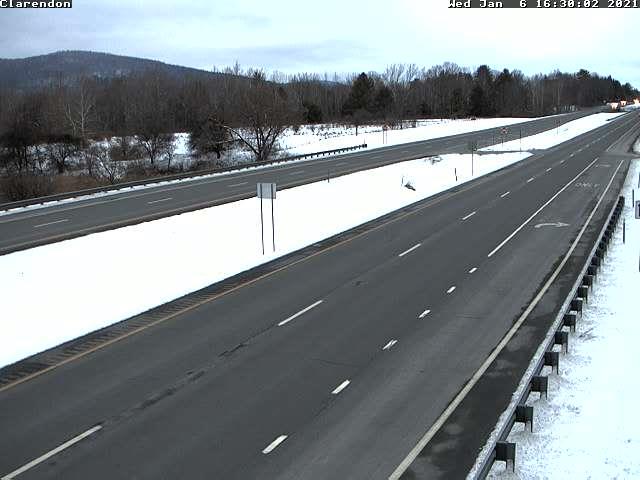
Updated Tuesday Evening Forecast — January 5th, 2021

TONIGHT: Overcast. Scattered flurries with dusting to half inch in spots. A low in the low to mid 20s. Light northwest winds.

TOMORROW: A few stray morning flurries Champlain Valley, otherwise drab and gray leading to a few breaks of sun in the afternoon. A high in the upper 20s. Northwest winds 10 mph.

WEDNESDAY NIGHT: Becoming partly cloudy. A low around 15. Light northwest winds.

THURSDAY: Pick of the week. Partly sunny. A high 25 to 30. Northwest winds 10 mph.

Looking further ahead…

THURSDAY NIGHT: Scattered clouds. A low 10 to 15.

FRIDAY: Mostly cloudy. Isolated flurries Northeast Kingdom. A high 20 to 25

SATURDAY: Becoming partly to mostly sunny. A low 5 to 15 above. A high 20 to 25.

SUNDAY: Partly to mostly sunny. A low in the single digits. A high 20 to 25.

Average low ranging thru the single digits to low teens, Average highs in the 20s to near 30.

Peak of Winter (coldest averages) January 23rd. End of Winter March 9th… based off local climatology.

RH/1-5 category forecast][end]
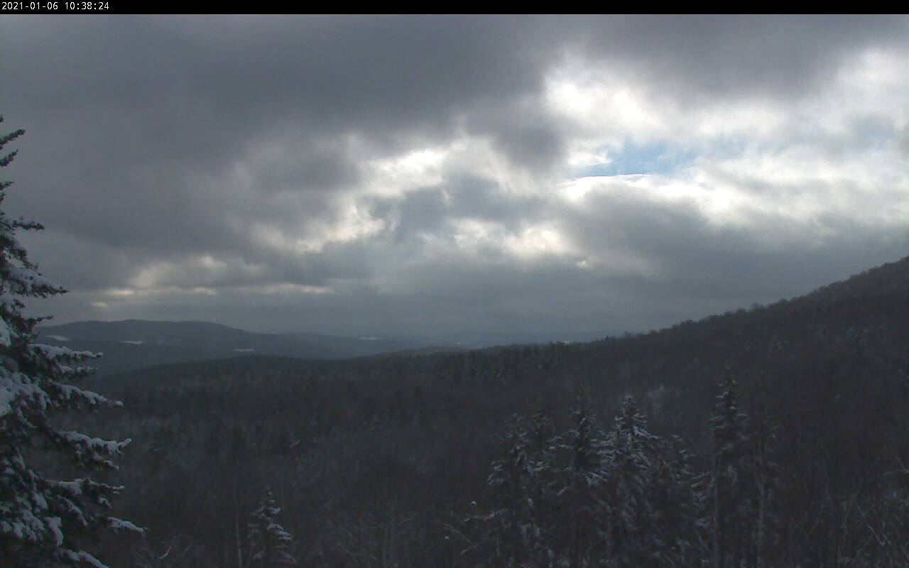
Updated Tuesday Morning Forecast — January 5th, 2021

TODAY: Lots of clouds. Maybe a couple breaks of sun. A high in the low 30s. Light north winds.

TONIGHT: Lots of clouds. A few flurries. A low in the low to mid 20s. Light northwest winds.

WEDNESDAY: Considerable cloudiness. A few stray morning flurries toward the Champlain Valley. Breaks of sun in the afternoon. A high upper 20s to near 30. Light northwest winds.

Looking further ahead…

WEDNESDAY NIGHT: Becoming partly cloudy. A low in the mid to upper teens.

THURSDAY: Pick of the week. Clouds mixing with periods of sunshine. A high 25 to 30.

FRIDAY: Mostly cloudy. Colder. A morning low upper single digits to mid-teens. A high in the low to mid 20s.

SATURDAY: Becoming partly to mostly sunny. A low 5 to 15 above. A high around 25.

SUNDAY: Partly to mostly sunny. A low 5 to 15 above. A high in the mid-20s.

Average low ranging thru the single digits to low teens, Average highs in the 20s to near 30.

Peak of Winter (coldest averages) January 23rd. End of Winter March 9th… based off local climatology.

RH/1-5 category forecast][end]
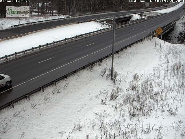
Updated Monday Evening Forecast — January 4th, 2021

TONIGHT: Clouding up. A few stray flurries overnight with a dusting in spots. A low 20 to 25. Light north winds.

TOMORROW: Lots of clouds. Maybe a couple breaks of sun. A high in the low 30s. Light north winds.

TUESDAY NIGHT: Lots of clouds. Chance for a few flurries. A low 20 to 25. Light northwest winds.

WEDNESDAY: Considerable cloudiness. A few stray morning flurries. Breaks of sun in the afternoon. A high 25 to 30. Light northwest winds.

Looking further ahead…

WEDNESDAY NIGHT: Becoming partly cloudy. A low in the teens.

THURSDAY: Pick of the week. More sun than clouds. A high around 25.

FRIDAY: Mixed sun and clouds. Cold. A morning low in the single digits above zero. A high in the low to mid 20s.

SATURDAY: Variably cloudy. Chance for a snow shower or flurry northern areas. A low in the teens. A high around 25.

Average low ranging thru the single digits to low teens, Average highs in the 20s to near 30.

Peak of Winter (coldest averages) January 23rd. End of Winter March 9th… based off local climatology.

RH/1-4 category forecast][end]
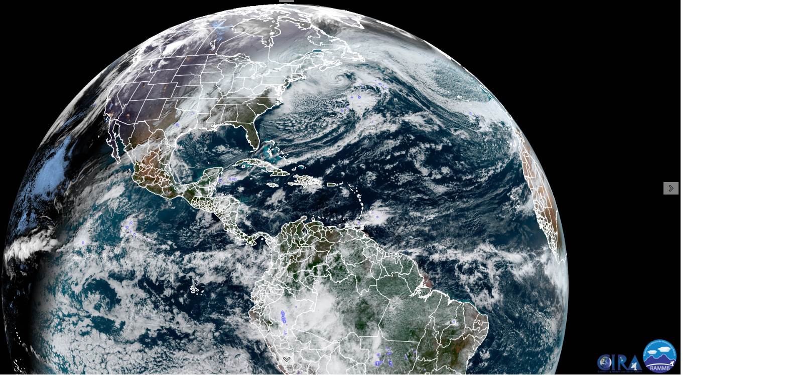
Updated Monday Morning Forecast — January 4th, 2021

TODAY: Any morning flurries diminish quickly. Intervals of sunshine developing…& a little milder. A high pushing to near 35 (with some snow melt and unloading of the trees.) Light northwest winds.

TONIGHT: Cloudy. A few stray flurries. A low mid-teens to low 20s. Light north winds.

TUESDAY: Generally gray, with a high around 30. Light north to northeast winds.

Looking further ahead…

TUESDAY NIGHT: Lots of clouds. Chance for a few flurries. A low around 20.

WEDNESDAY: Considerable cloudiness. A few stray morning flurries. Breaks of sun in the afternoon. A high mid-20s to around 30.

THURSDAY: Pick of the week. Becoming partly to mostly sunny. A low in the upper single digits to mid-teens. A high mid-20s to near 30.

FRIDAY: Lots of clouds with intervals of sun in the morning. A low in the single digits above zero. A high low to mid 20s.

SATURDAY: Variably cloudy. A low in the teens. A high around 25.

Average low ranging thru the single digits to low teens, Average highs in the 20s to near 30.

Peak of Winter (coldest averages) January 23rd. End of Winter March 9th… based off local climatology.

RH/1-4 category forecast][end]