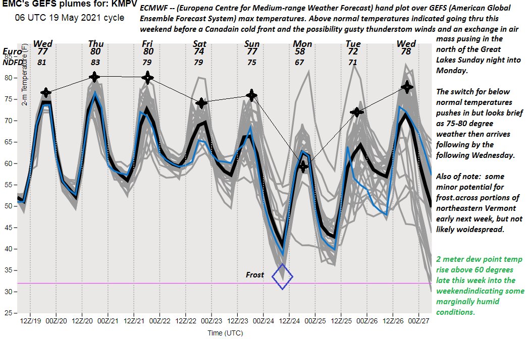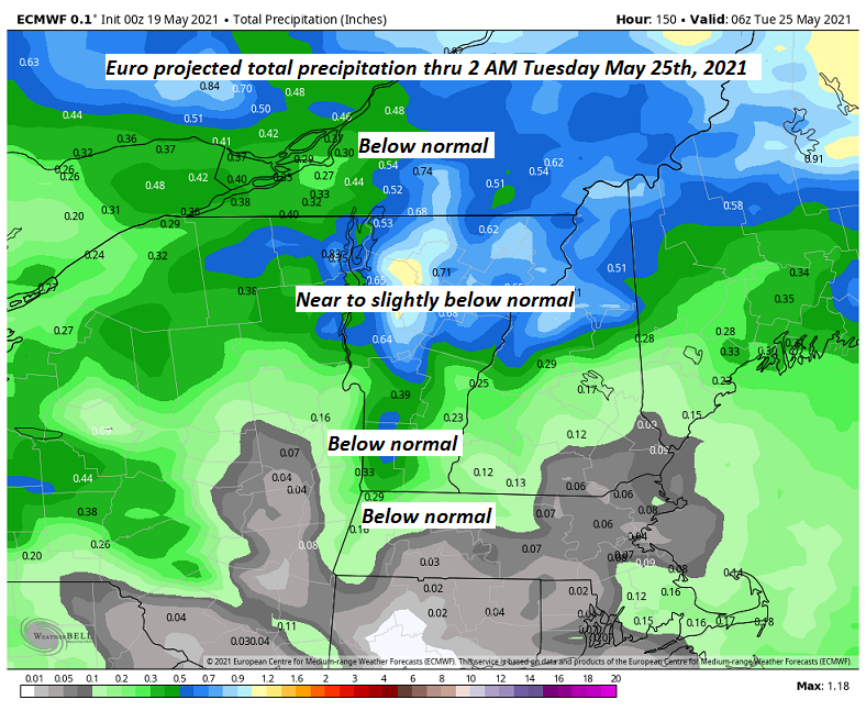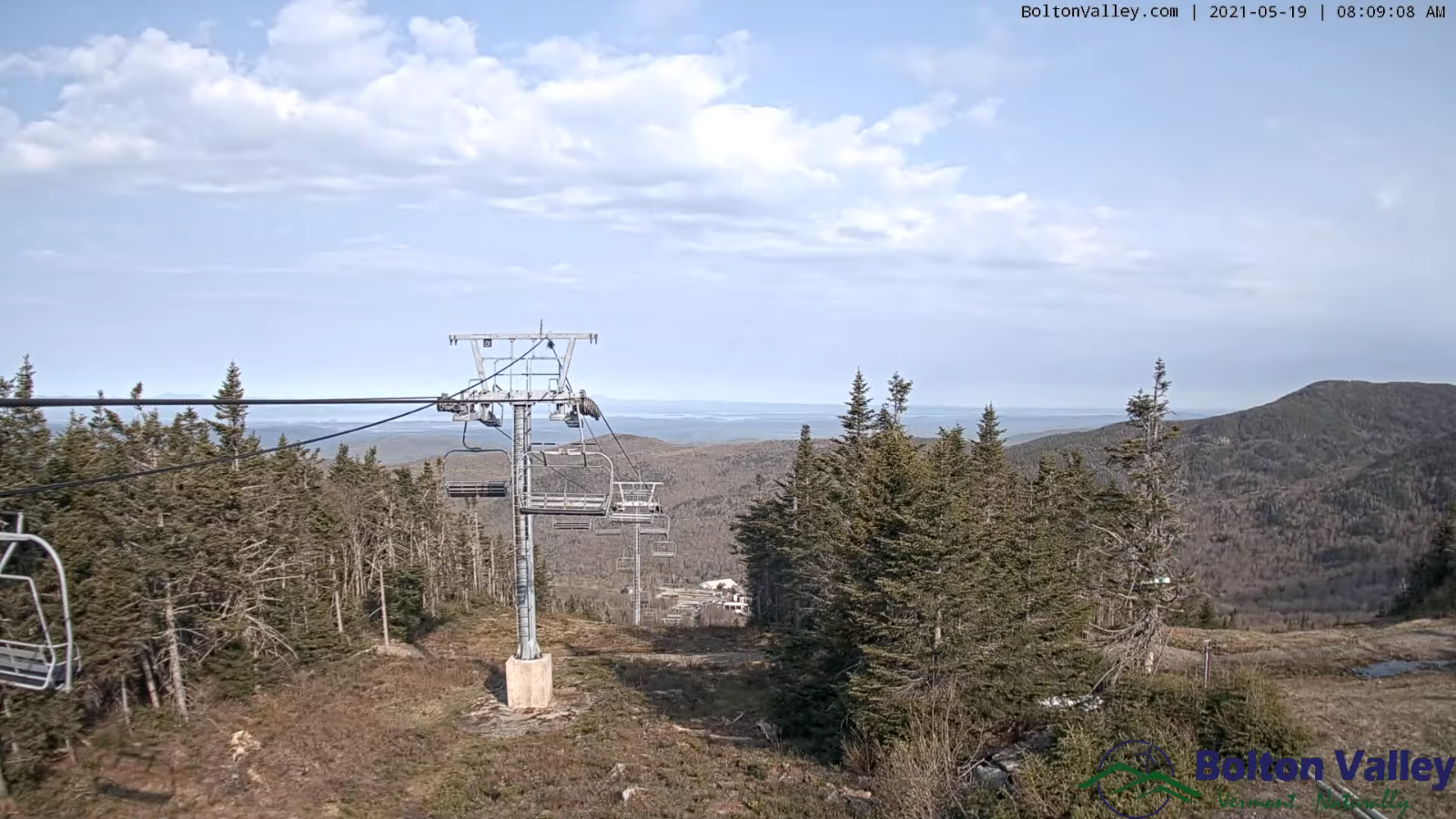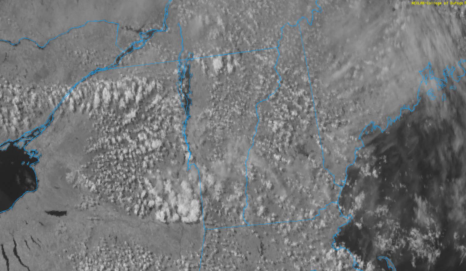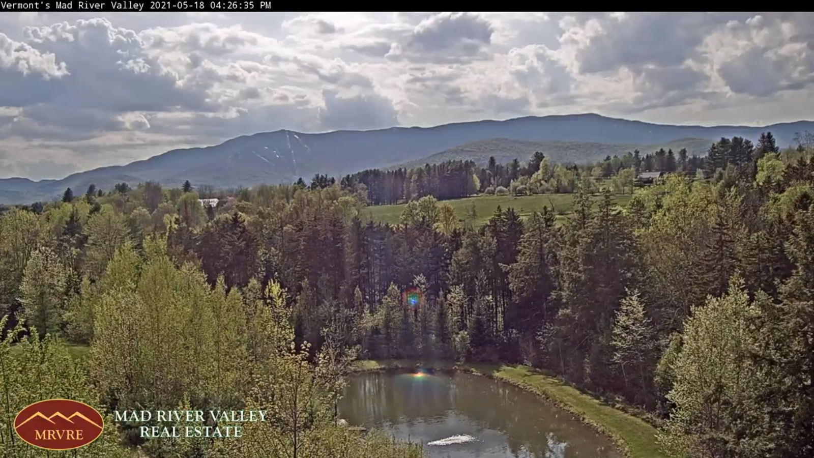
TODAY: Partly sunny, then more clouds late. Maybe an afternoon shower toward New Hampshire. Warm & moderately humid. A high around 85. Light southwest winds.
TONIGHT: Mostly cloudy & a tad more humid. Lows about 60 to 65. Light south winds.
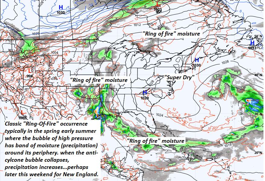
SATURDAY: Morning clouds with scattered showers. Mixed clouds and sun. An isolated shower or late day storm. Moderately humid. A high around 80. Wind becoming west to northwesterly 10 mph.
Looking further ahead…
SATURDAY NIGHT: Scattered showers with rumble or two of thunder in the evening…otherwise variable clouds. A low around 60.
SUNDAY: Patchy morning fog gives way to partial sunshine. A chance for afternoon showers…with a risk for a thunderstorm. A high 75 to 80.

MONDAY: Patchy valley fog burns off to filtered sun through high clouds. Cooler. A low 40 to 45. A high around 65.
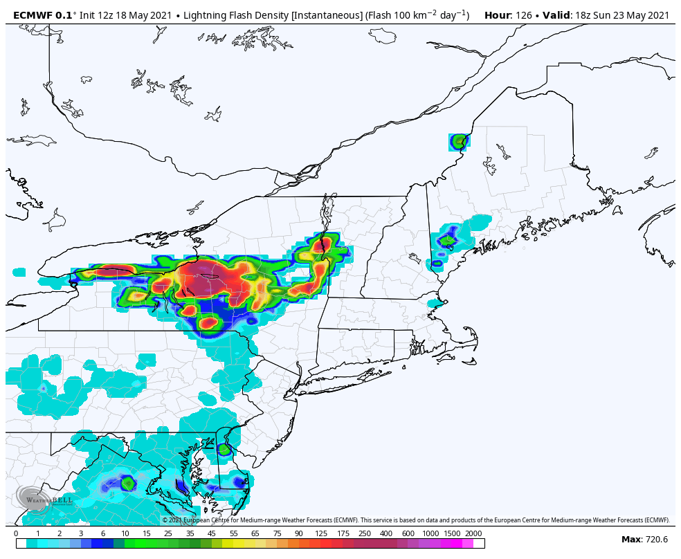
TUESDAY: Partly sunny. Chance for showers and a possible thunderstorms Tuesday evening. A low 40 to 45. A high 75 to 80.
WEDNESDAY: Clouds mixing with periods of sun. Scattered showers and chance for thunderstorms. A low 60 to 65. A high around 80.
Average low in the low to mid 40s. Average highs 65 to 70
Start of Meteorological Summer June 6th… Summer peaks approx.. July 22nd based off local climatology.
RH/5-21forecast][end]