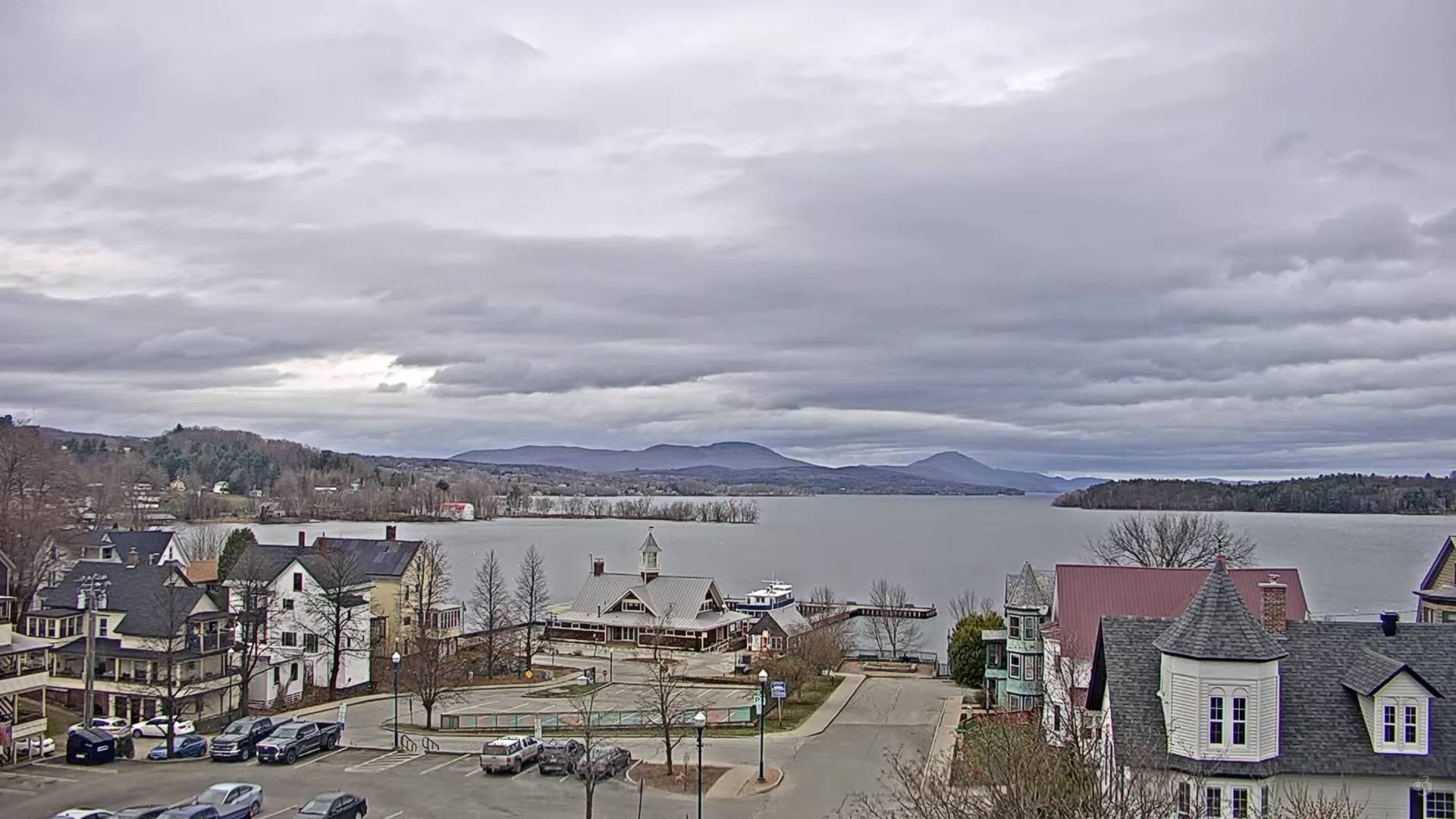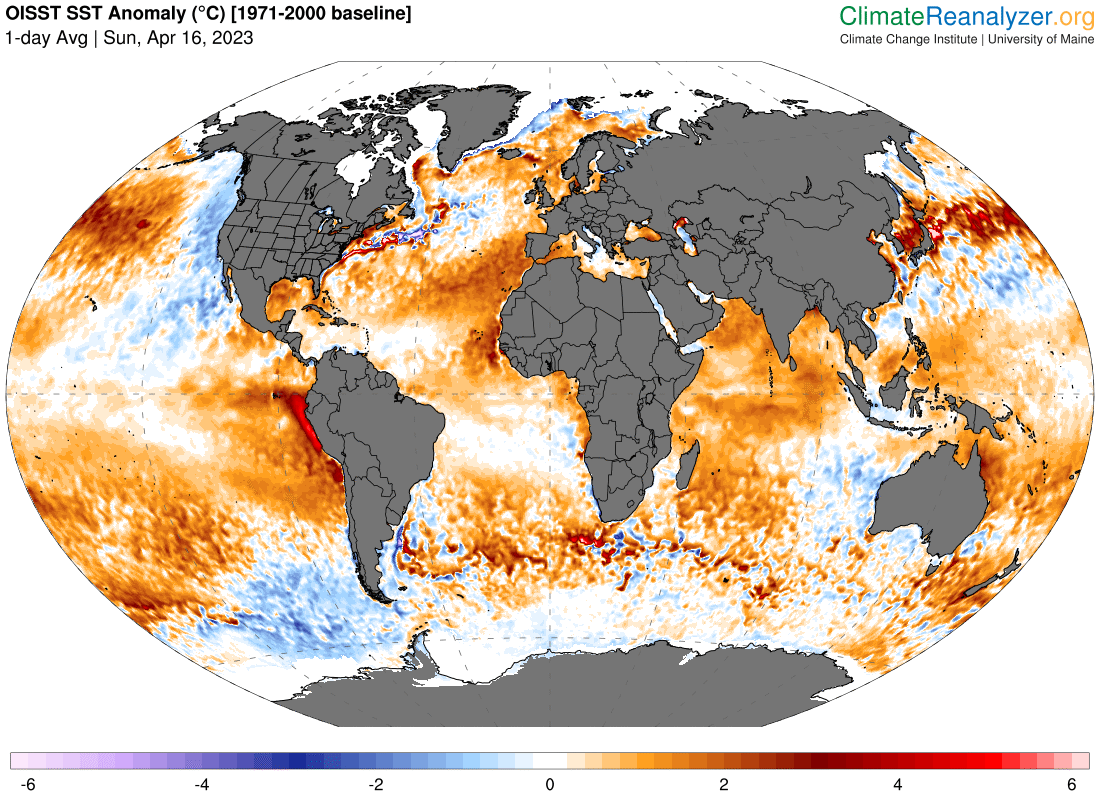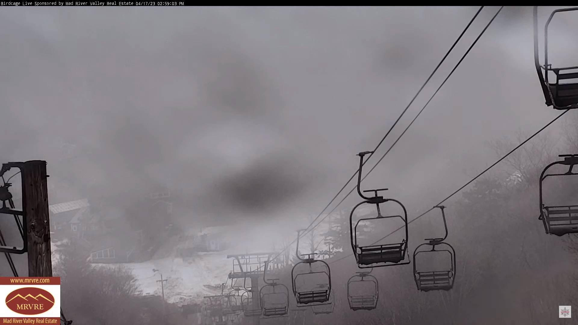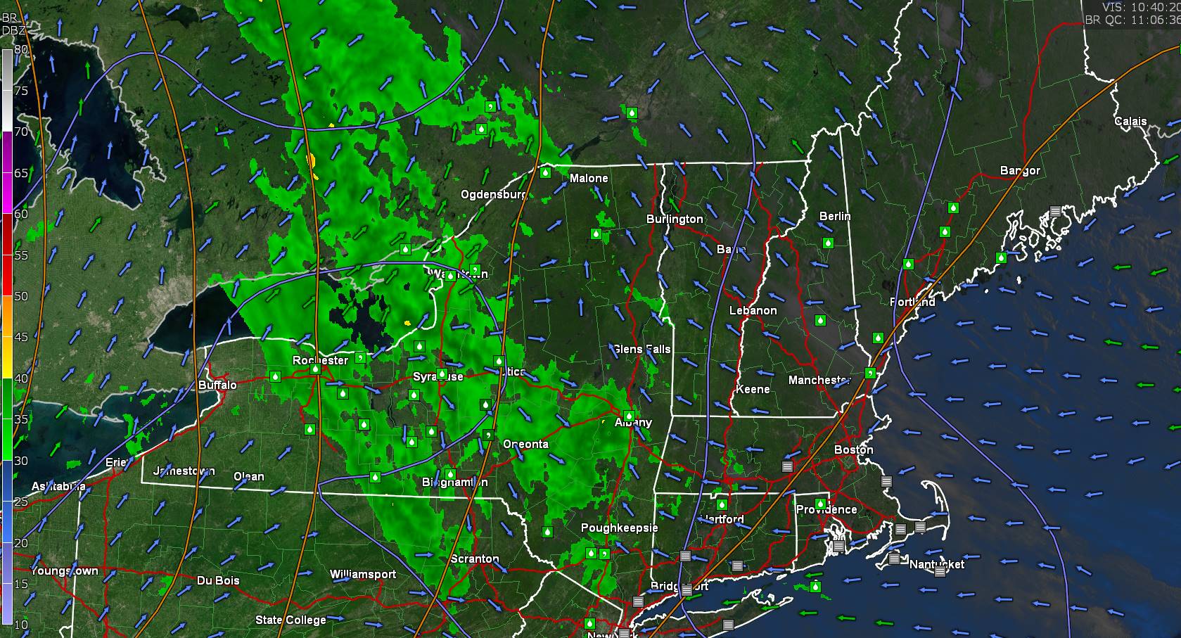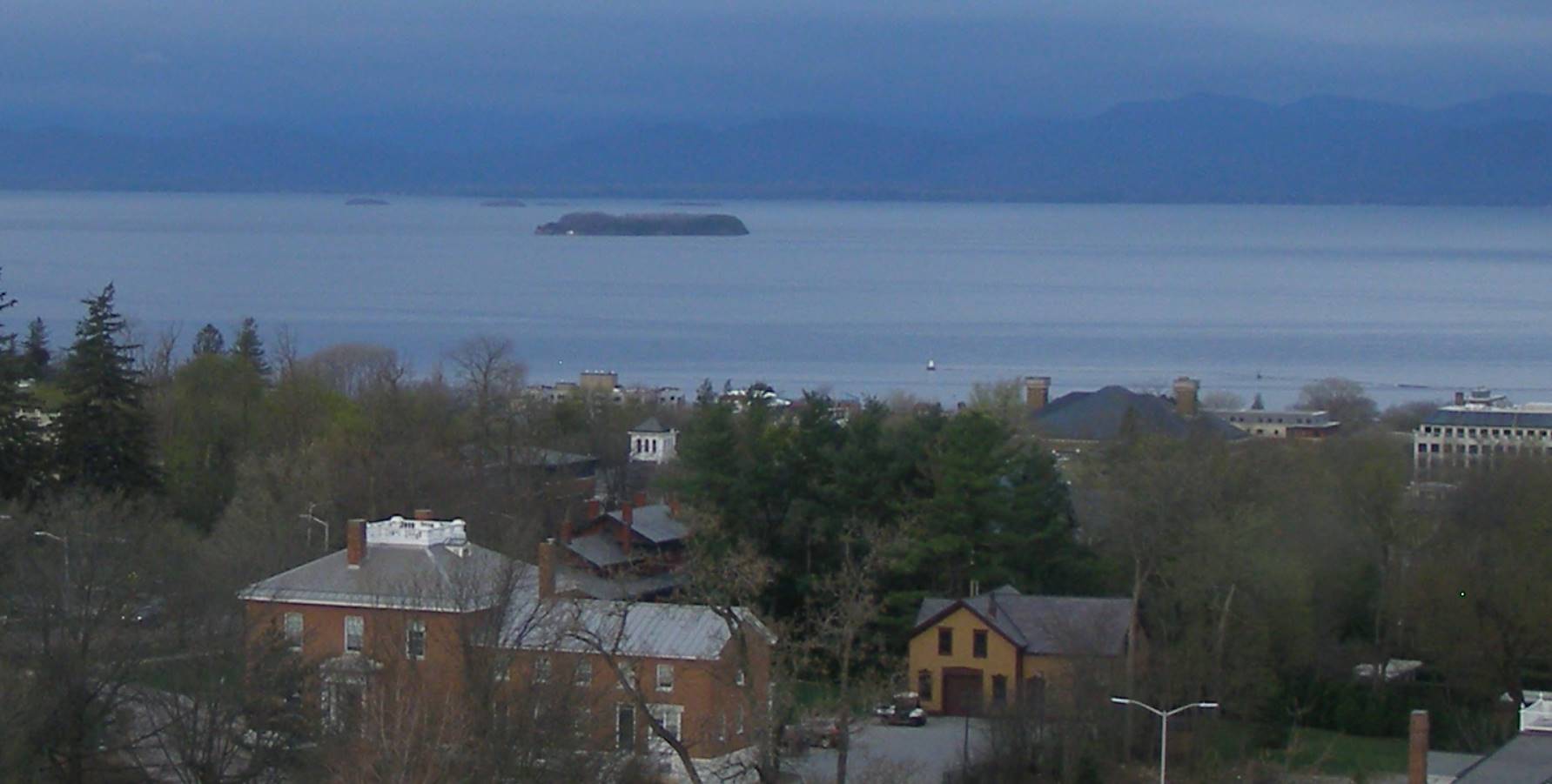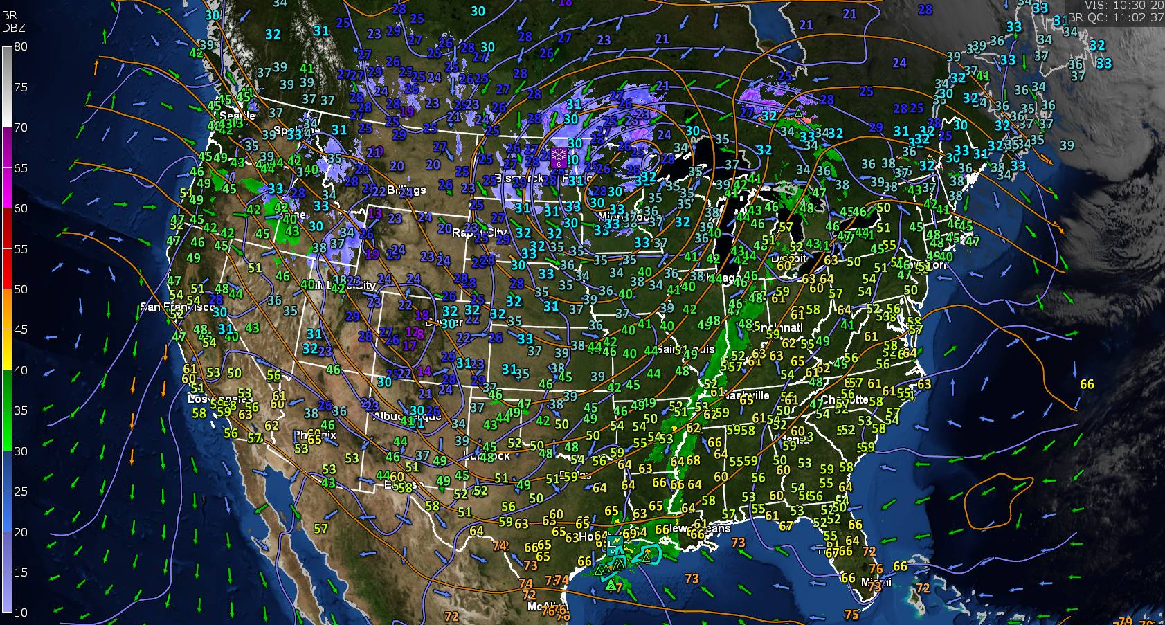
TODAY: Morning cloudiness, then periods of sunshine & milder. A high in the mid to upper 60s. Southeast breeze 10 mph.
TONIGHT: Fair with high cloudiness, thickening up late with a threat for a few sprinkles western areas late. A low around 40. Southeast winds 10 mph stronger near Lake Champlain.
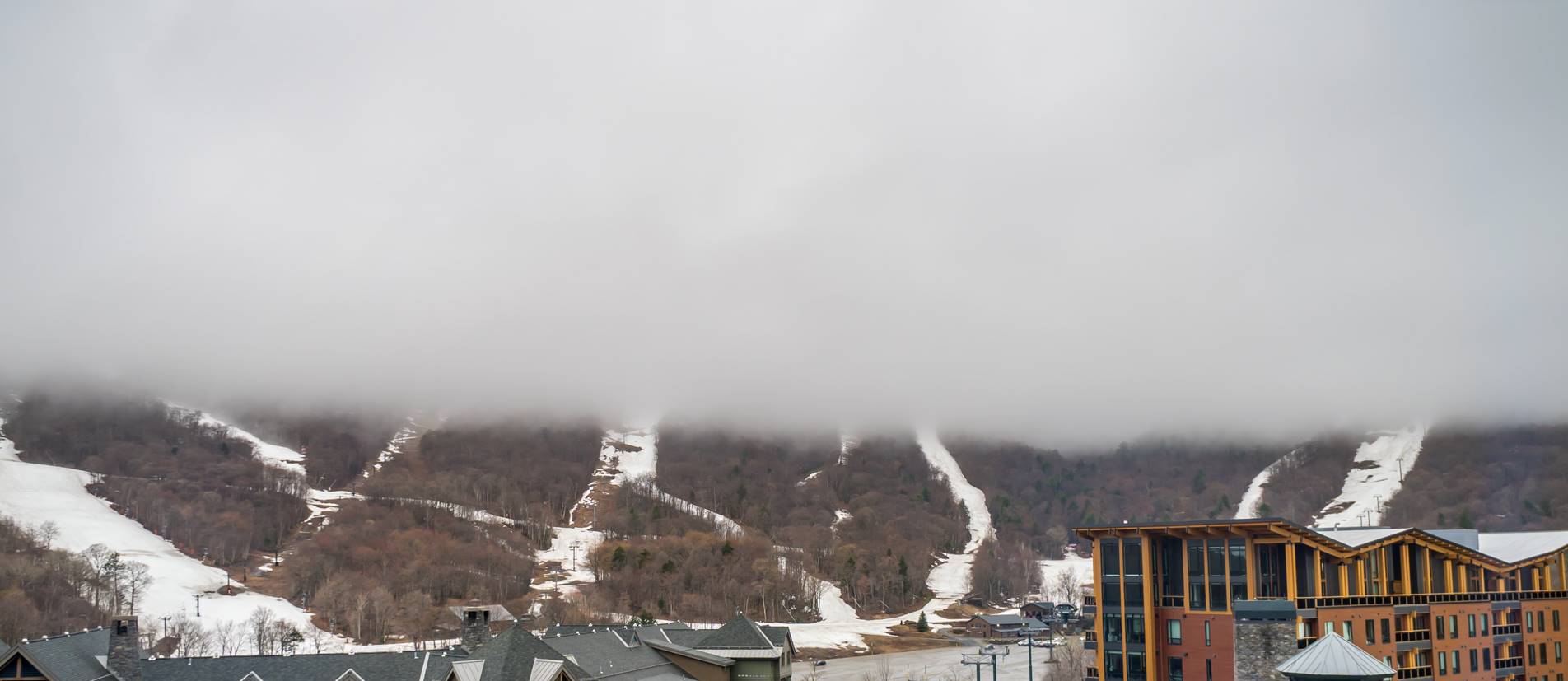
SATURDAY: High and mid-level cloudiness with hints of sun. Seasonable in temperature and breezy to windy. A high upper 50s near 60. Southeast winds 10 to 20 mph with higher gusts western slopes of the Green Mountains.
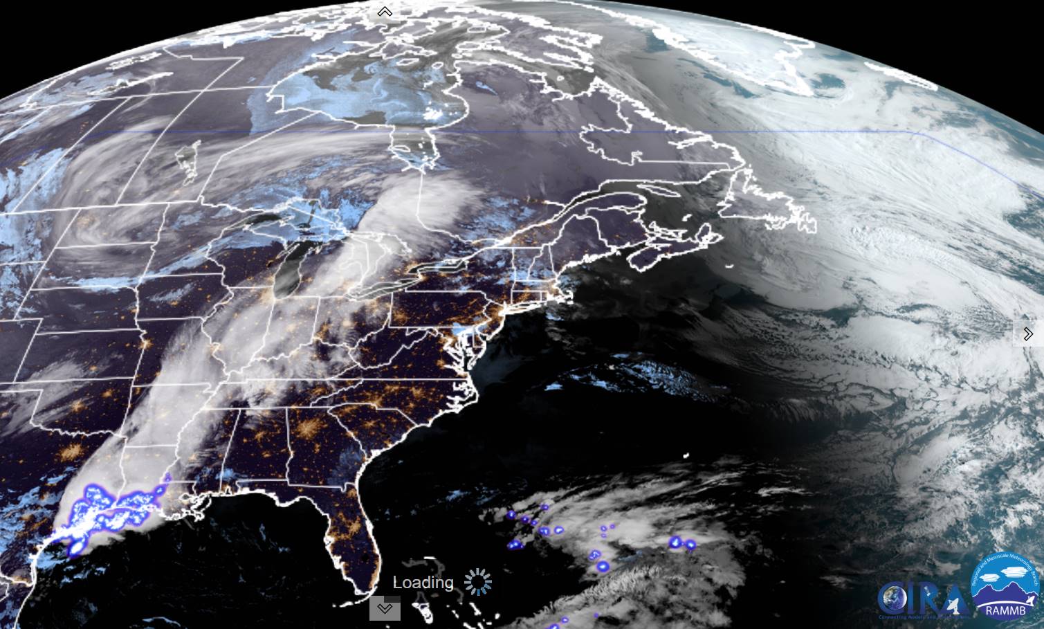
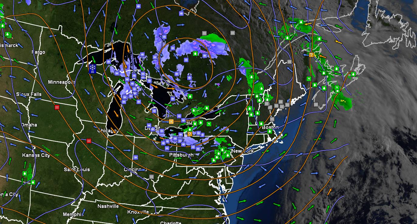
Looking further ahead
SATURDAY NIGHT: Cloudy. A rising chance for rain showers. Breezy to windy at times. A low 40 to 45.
SUNDAY: Gray. Blustery to windy early. Periods of rain or showers, moderate to possibly heavy at times. A high mid to upper 40s.
MONDAY: Overcast chilly and unsettled. Scattered rain showers mixed with wet snowflakes in the mountains. A low upper 30s. A high mid-40s.
TUESDAY: Mainly cloudy. Chance for a lingering rain showers with a wet snow flake mountain tops followed by late clearing in the evening. A low in the mid-30s. A high 45 to 50.
WEDNESDAY: Partial sun then mostly cloudy in the afternoon. Scattered rain showers, mixed with wet snow flakes in the afternoon. A low 32 to 35. A high around 55.
Average lows 32 to 35. Average highs mid-50s to near 60.
Start of Meteorological summer June the 6th.
RH/4-21 forecast][end]