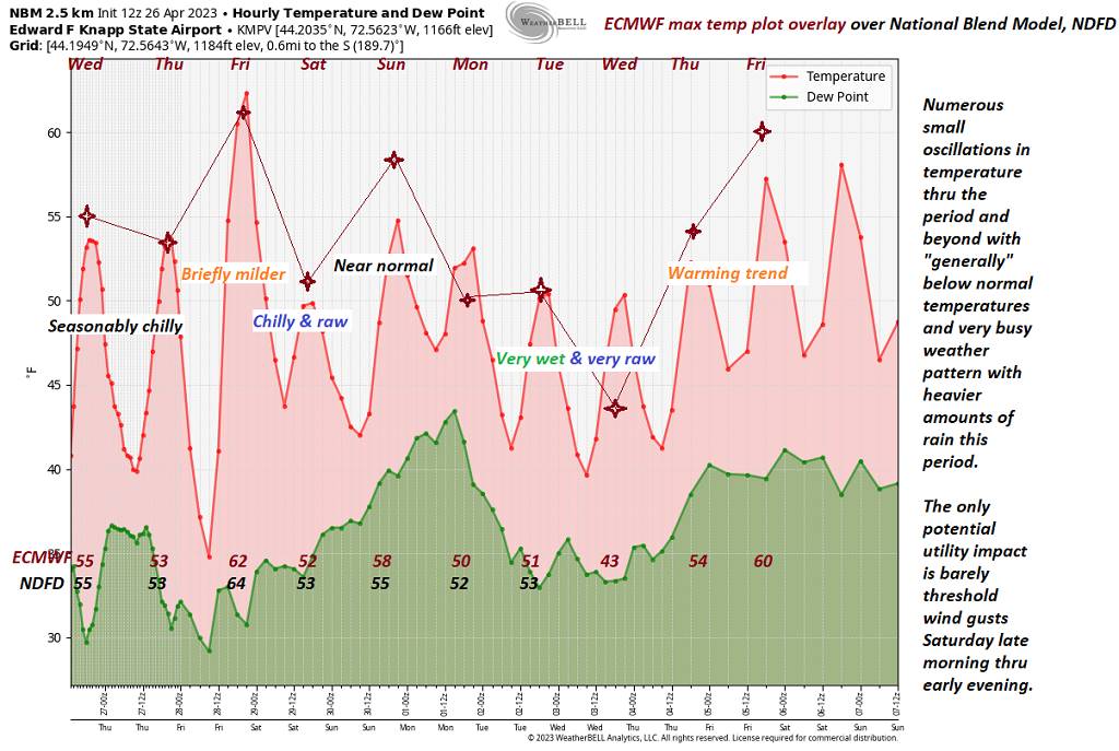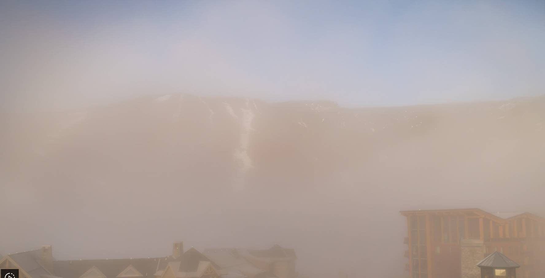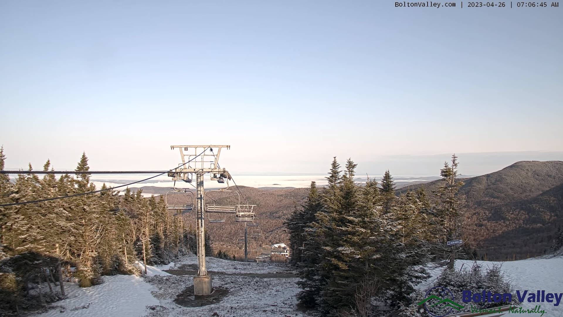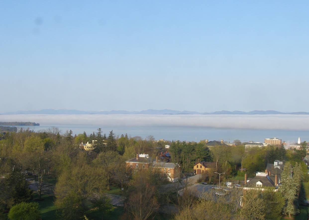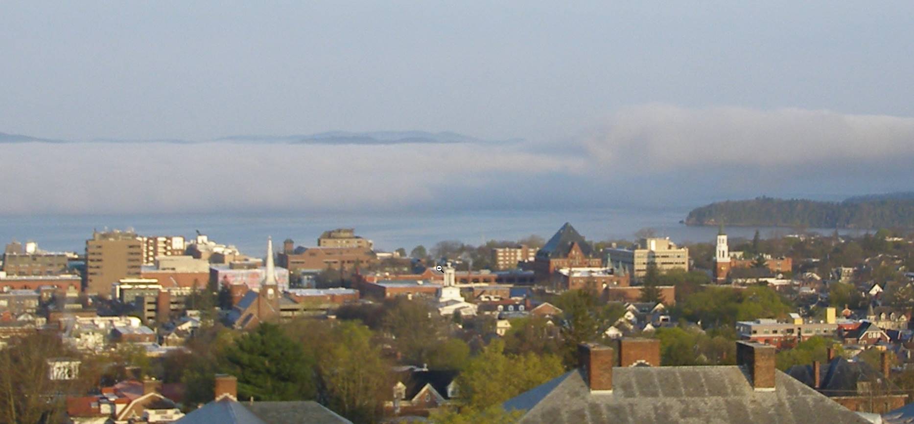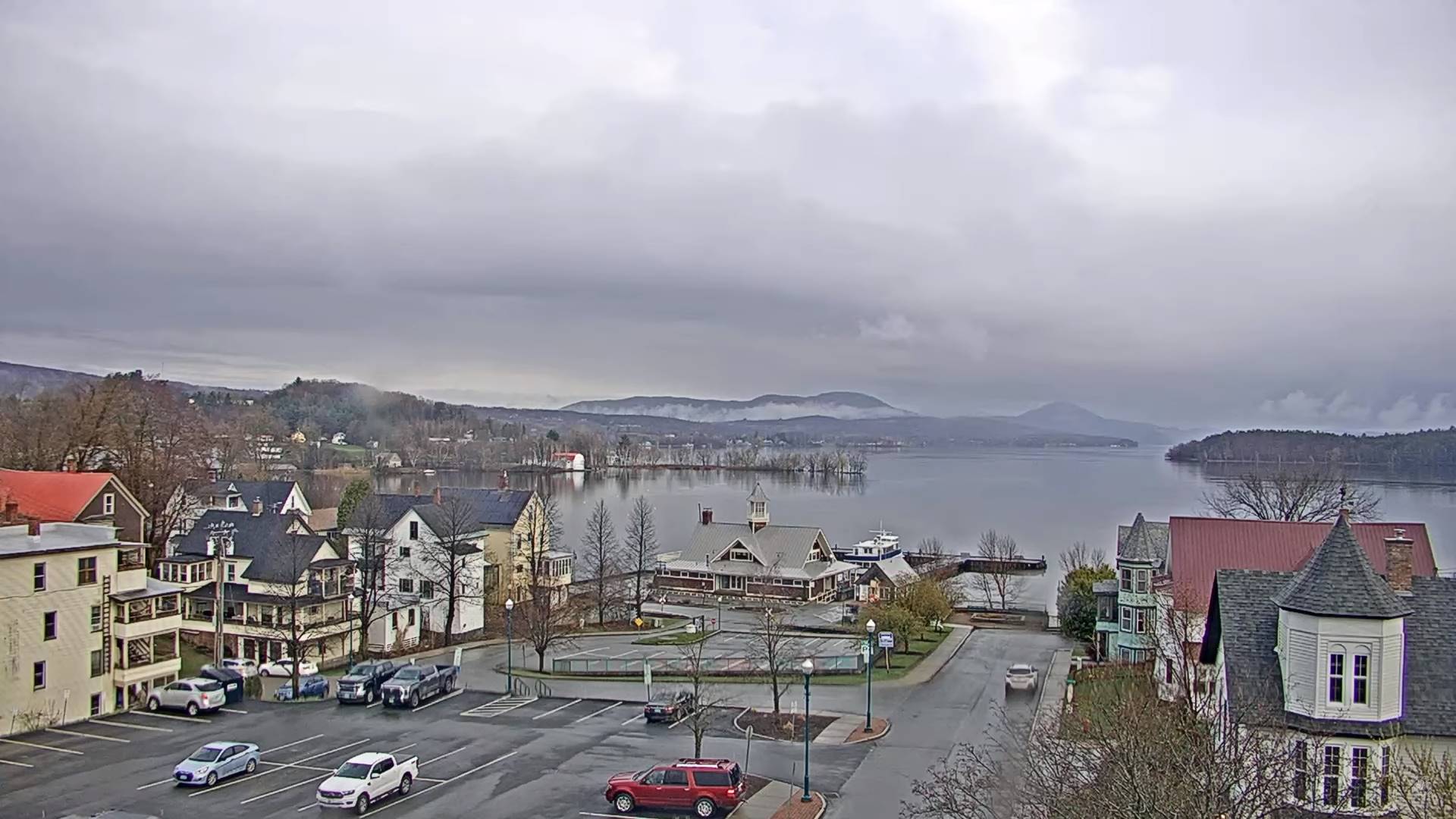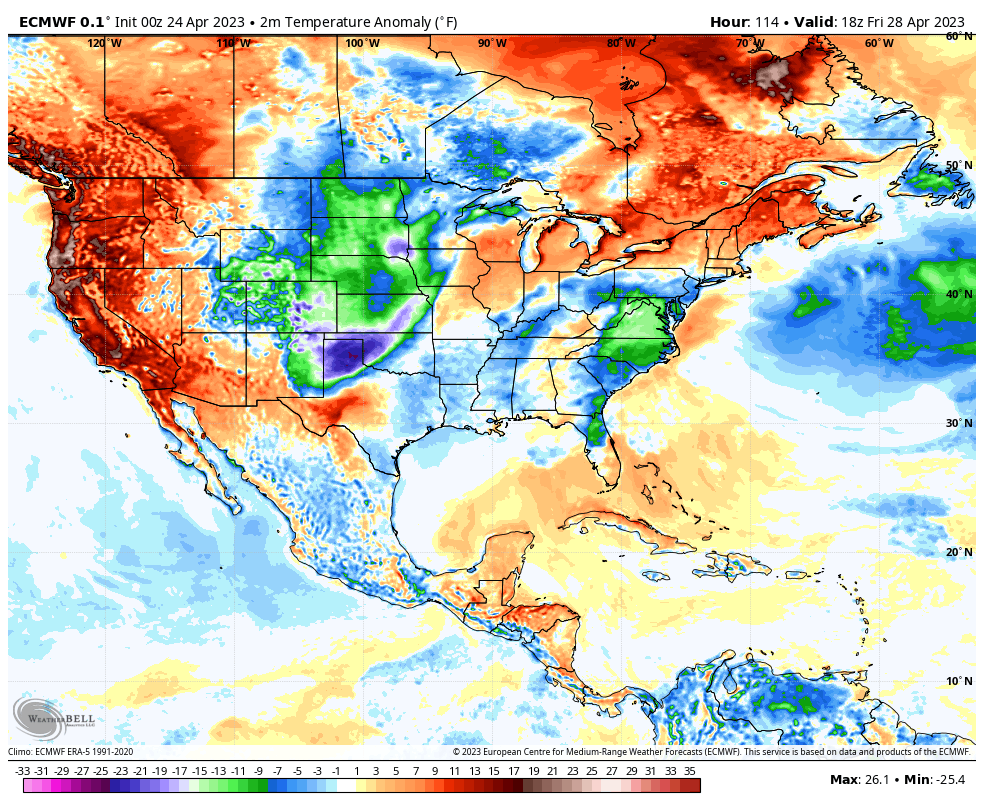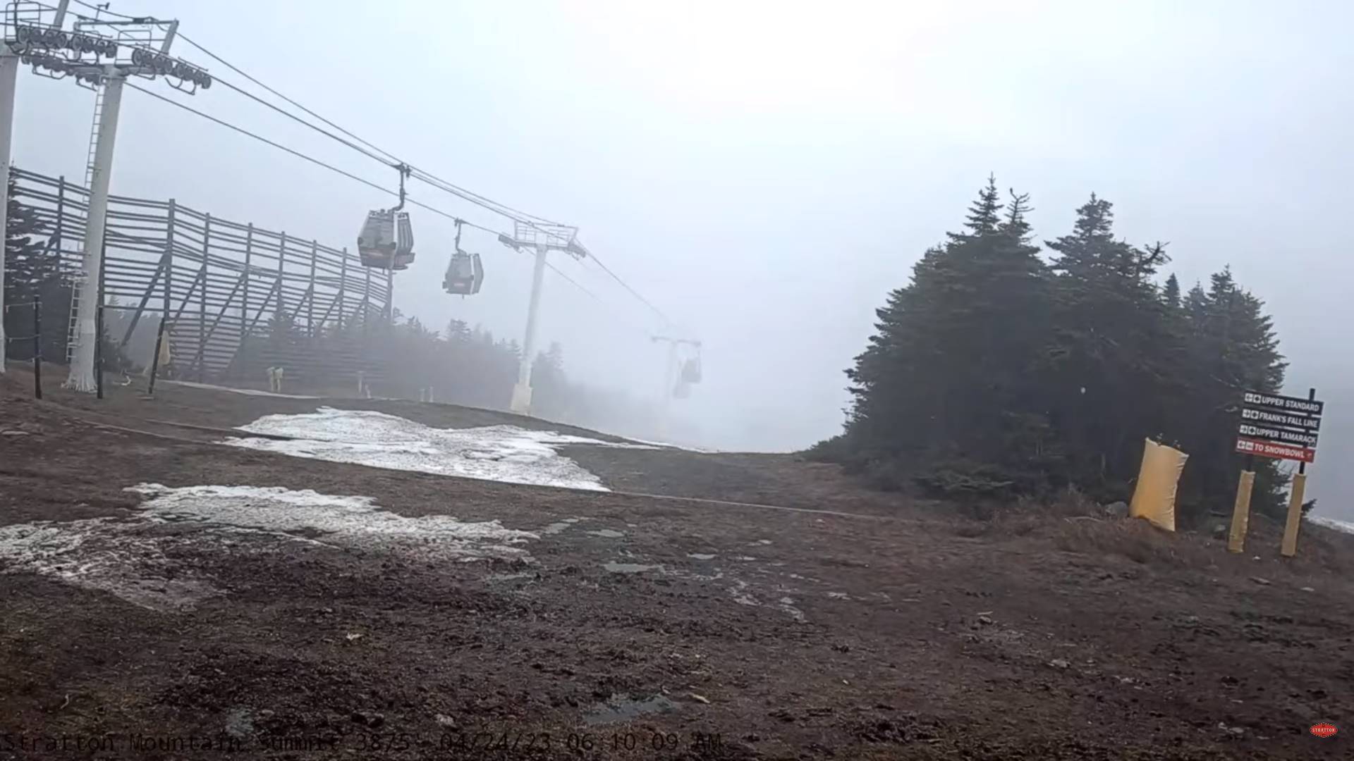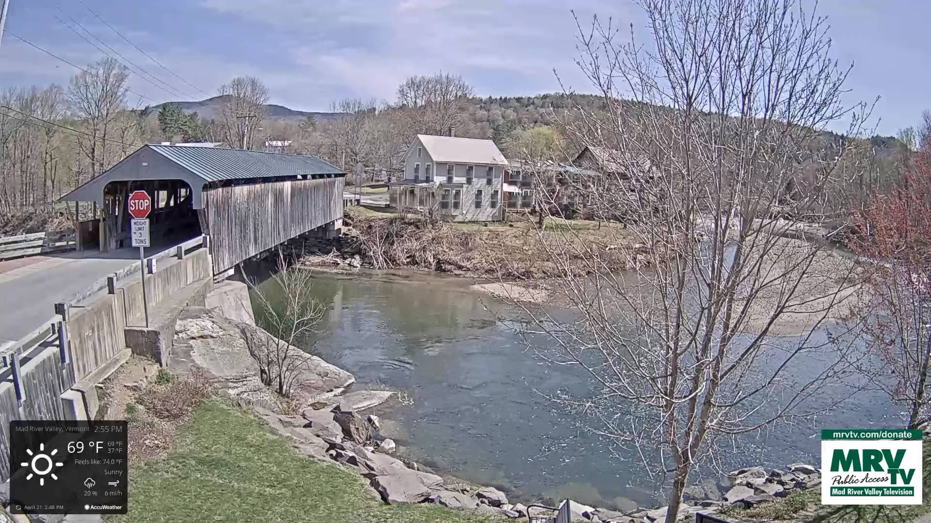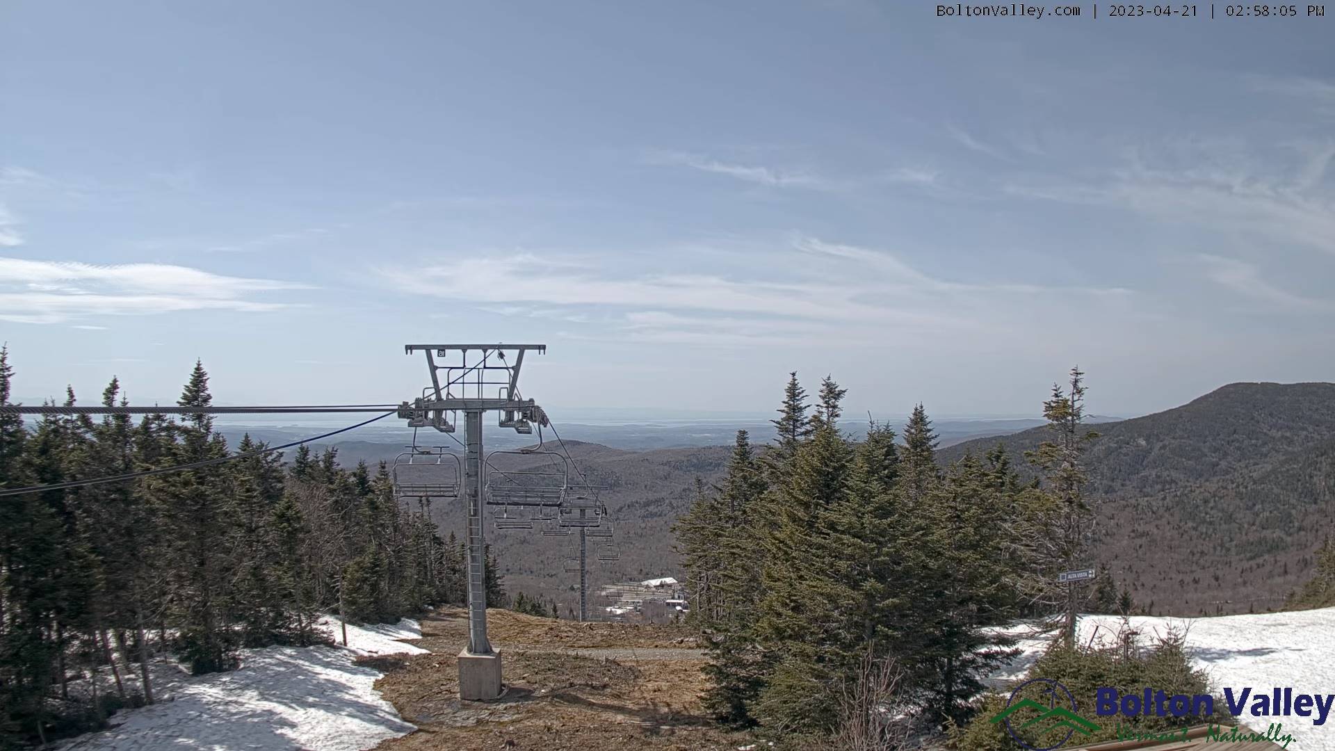
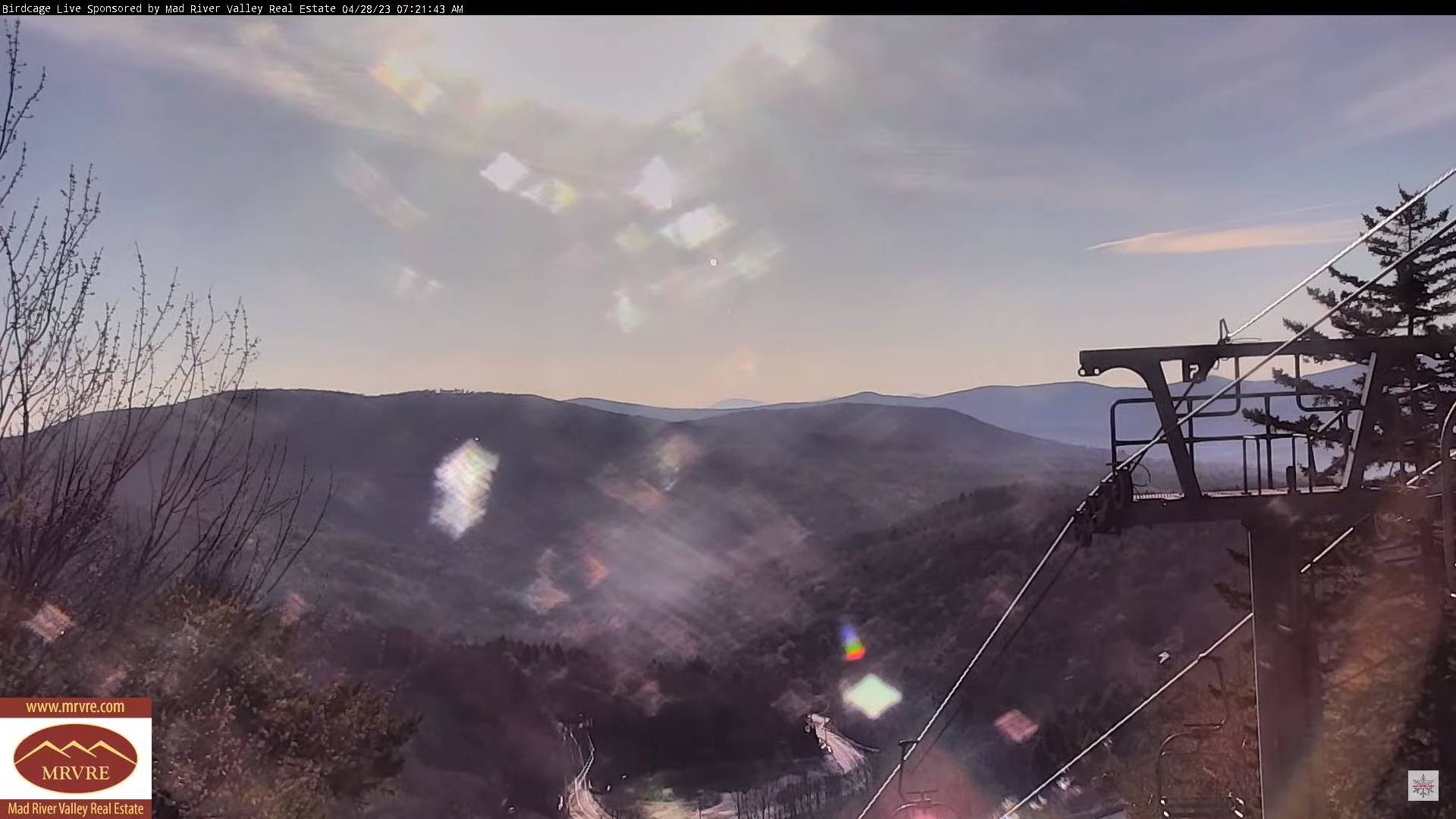
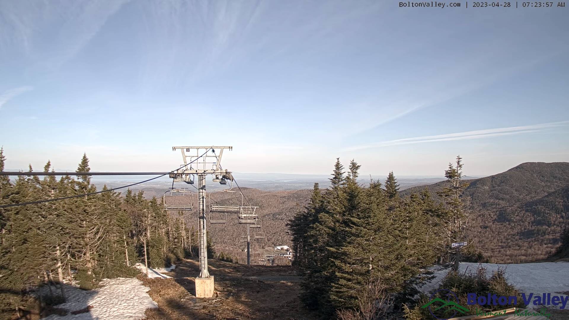
TODAY: Pick of the week. Patchy valley fog otherwise lots of sunshine with some high clouds. Mild and pleasant. A high near 65. Light southeast winds.
TONIGHT: Thickening clouds. A low in the low 40s. Light southeast winds.
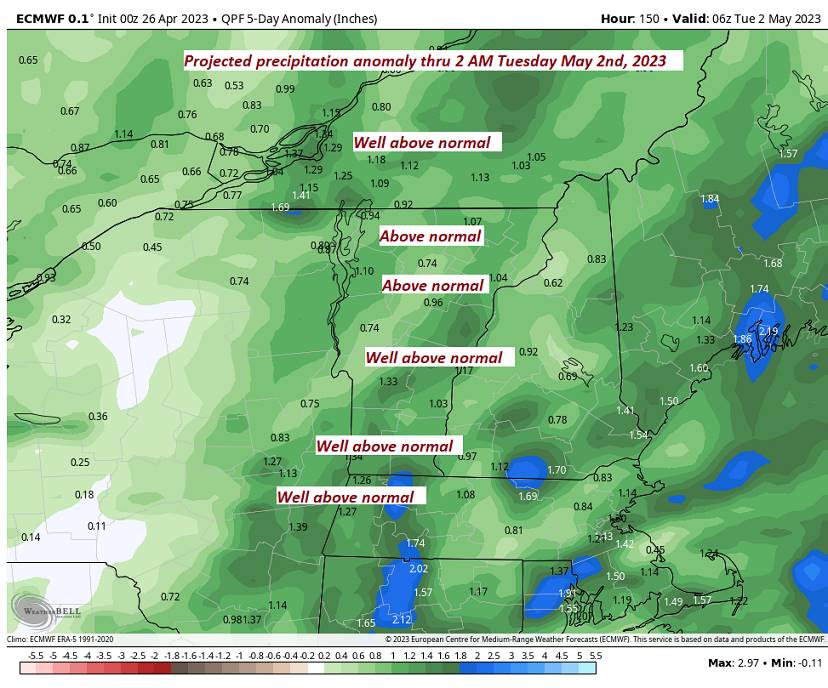
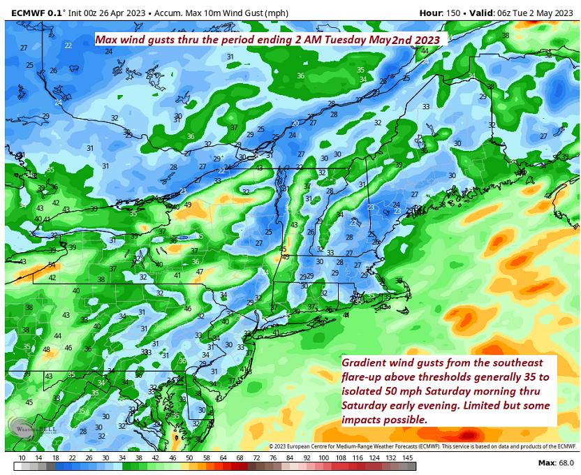
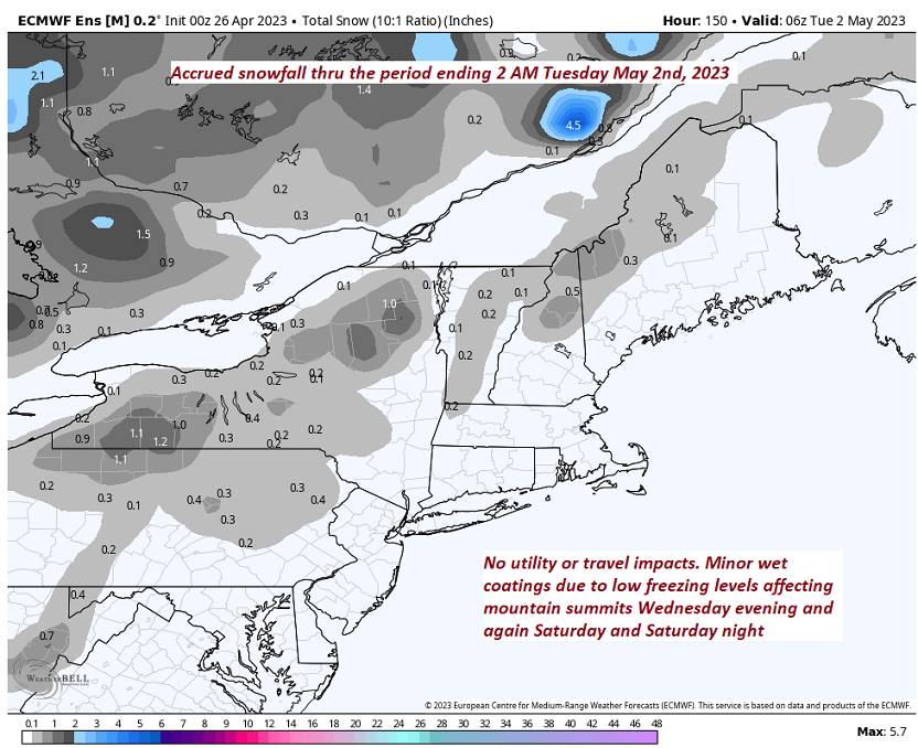
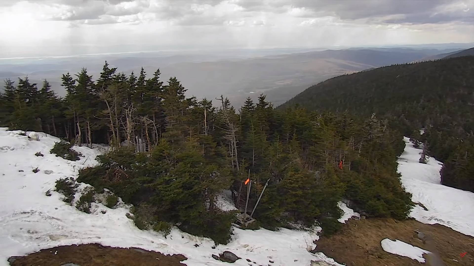
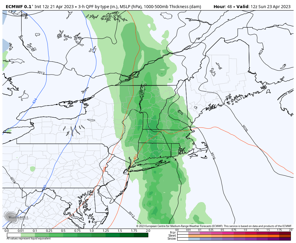
SATURDAY: Gray. Breezy at times. Showers becoming likely by late in the day, mixed with wet snow flakes high terrain late. A high in the mid-50s. Southeast breeze 10 to 20 mph.
Looking further ahead
SATURDAY NIGHT: Overcast. Showers likely. A low around 40.
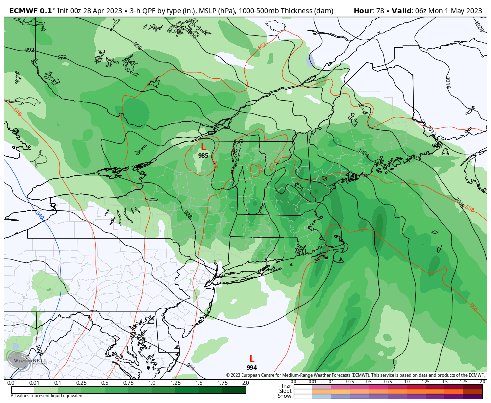
SUNDAY: Cloudy & breezy to windy. Occasional light showers especially southern and eastern areas. A high 50 to 55.
MONDAY: Chance for periods of rain early exiting as a few left-over sprinkles, Otherwise clouds give way to partly to mostly sunny skies. A low in the upper 40s. A high in the upper 50s.
TUESDAY: Clouds with patchy valley fog. Chance for more rain or showers. A low upper 30s to near 40. A high near 55.
WEDNESDAY: Clouds. Chance for more showers. A low in the mid to upper 30s. A high in the low 50s
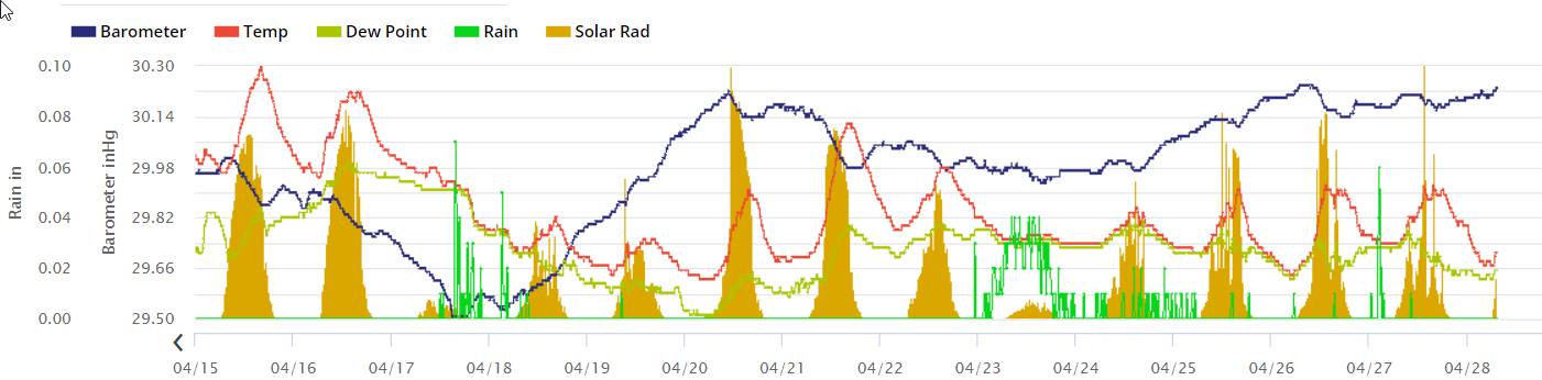
Average lows ranging thru the 30s. Average highs upper 50s to lower 60s.
Start of Meteorological summer June the 6th.
RH/4-27 forecast][end]