Updated Friday Morning Forecast — May 5th, 2023

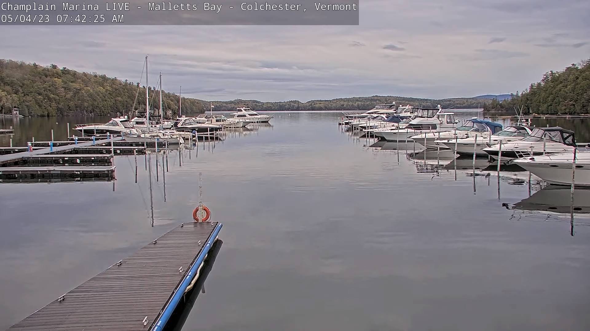
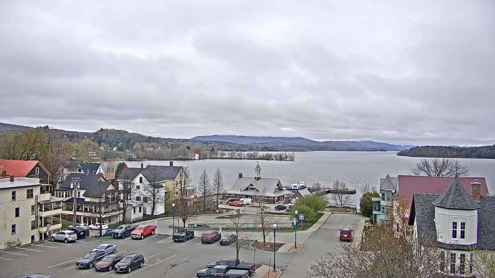
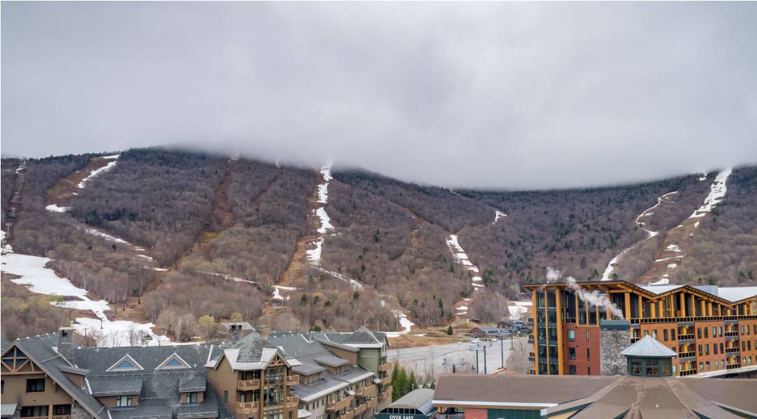
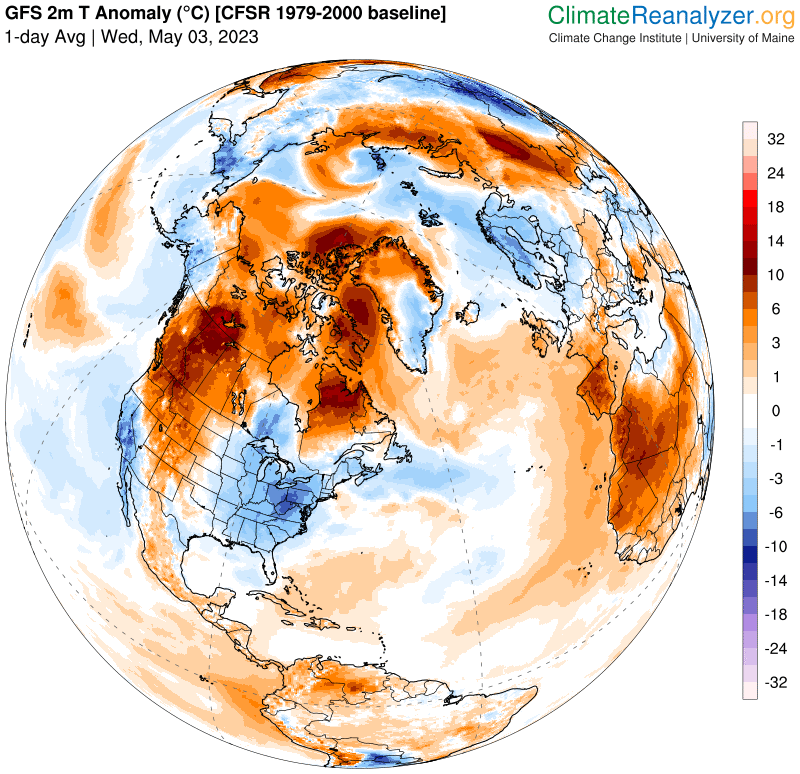
TODAY: Lots of clouds, giving way to intervals of sunshine later on. Widely scattered mainly mountain sprinkles. Still cool, a high mid to upper 50s. North to northeast winds 10 mph.

TONIGHT: Mostly clear with a few high clouds. Patchy valley fog overnight. A low mid to upper 30s. Light southeast winds.

SATURDAY: Patchy morning fog then partly sunny. A high in the mid-60s. Northwest winds 10 to 15 mph.

Looking further ahead

SATURDAY NIGHT: Mostly clear. Patchy valley fog. A low in the low to mid 40s.

SUNDAY: Mixed clouds and sun. A high near 65.

MONDAY: Lots of sunshine with a few high clouds. A low 40 to 45. A high in the lower 60s.

TUESDAY: Patchy valley fog then filtered sunshine thru high clouds. A low upper 30s. A high around 60.

WEDNESDAY: Mostly sunny. A low 35 to 40. A high 60 to 65.

Average lows ranging mid-30s to low 40s. Average highs 60 to 65.

Start of Meteorological summer June the 6th.

RH/5-3 forecast][end]

Updated Thursday Night Forecast — May 4th, 2023

TONIGHT: Becoming variably cloudy. Considerable valley fog. A low in the mid-30s. Light northeast winds.

TOMORROW: Considerable clouds with a few breaks later in the afternoon. Patchy drizzle/sprinkles possible eastern slopes central and southern Greens. Still cool’ish, a high of 55. North to northeast winds 10 mph.

FRIDAY NIGHT: Clear. Patchy valley fog overnight. A low mid to upper 30s. Light southeast winds.

SATURDAY: Patchy valley fog burns off to periods of sun, then more clouds in the afternoon. A high 60 to 65. Northwest winds 10 to 15 mph.

Looking further ahead

SATURDAY NIGHT: Clear skies. Patchy valley fog. A low upper 30s.

SUNDAY: Morning valley fog then sunny. A high 60 to 65.

MONDAY: Patchy valley fog, then sunny. A low near 40. A high 60 to 65.

TUESDAY: Patchy valley fog then filtered sunshine thru high clouds. A low upper 30s. A high around 65.

WEDNESDAY: Variable clouds. Slight chance for a shower. A low in the 40s. A high in the upper 50s.

Average lows ranging mid-30s to low 40s. Average highs 60 to 65.

Start of Meteorological summer June the 6th.

RH/5-3 forecast][end]

Updated Thursday Morning Forecast — May 4th, 2023

TODAY: Mainly gray, with a couple breaks of sun. Isolated to widely scattered hit and miss showers. Warming trend begins. A high in the lower 50s. Light north to northeast winds.

TONIGHT: Becoming partly cloudy. Patchy dense valley fog. A low in the mid-30s. Light northeast winds.

FRIDAY: Considerable low clouds with a few breaks later in the afternoon. Patchy drizzle or sprinkles possible especially eastern slopes central and southern Greens. A high around 55. North to northeast winds 10 mph.

Looking further ahead

FRIDAY NIGHT: Clear. Considerable dense valley fog overnight. A low mid to upper 30s.

SATURDAY: Partly sunny before more clouds build up in the afternoon. A high 60 to 65.

SUNDAY: Patchy valley fog, then mostly sunny. A low upper 30s. A high 60 to 65.

MONDAY: Patchy valley fog, then sunny. A low near 40. A high 60 to 65.

TUE

SDAY: Patchy valley fog then filtered sunshine thru high clouds. A low upper 30s. A high around 65.

WEDNESDAY: Variable clouds. Slight chance for a shower. A low in the 40s. A high in the upper 50s.

Average lows ranging mid-30s to low 40s. Average highs 60 to 65.

Start of Meteorological summer June the 6th.

RH/5-3 forecast][end]

Updated Wednesday Evening Forecast — May 3rd, 2023

TONIGHT: Considerable clouds. Scattered showers mixed with wet snow flakes mountain summits, becoming more isolated overnight. A low in the upper 30s. Light northeast winds.

TOMORROW: Mainly cloudy with a couple breaks of sun. Isolated hit and miss showers. Warming trend begins. A high in the lower 50s. Light north to northeast winds.

THURSDAY NIGHT: Gradual clearing. Patchy dense valley fog. A low mid to upper 30s. Light northeast winds.

FRIDAY: Considerable low clouds patchy drizzle or sprinkles possible. Elsewhere dry. A high around 55. North to northeast winds 10 mph.

Looking further ahead

FRIDAY NIGHT: Clear. Considerable dense valley fog overnight. A low mid to upper 30s.

SATURDAY: Partly sunny before more clouds build up in the afternoon. A high 60 to 65.

SUNDAY: Patchy valley fog, then partly to mostly sunny. A low upper 30s. A high about 65.

MONDAY: Bright sun and blue skies. A low near 40. A high around 65.

TUESDAY: Patchy valley fog then mostly sunny with high cloudiness. A low in the low 40s. A high in the mid-60s.

Average lows ranging mid-30s to low 40s. Average highs 60 to 65.

Start of Meteorological summer June the 6th.

RH/5-3 forecast][end]

Updated Wednesday morning Forecast — May 3rd, 2023

TODAY: Clouds & continued showery with few breaks of sun. A high around 50. Light east winds.

TONIGHT: Considerable clouds. Widely scattered showers mixed with wet snow flakes mountain summits, winding down overnight. A low in the upper 30s. Light northeast winds.

THURSDAY: Mainly cloudy. Isolated to widely scattered shower activity. Gradual day time warming trend begins. A high in the low 50s. Light north to northeast winds.

Looking further ahead

THURSDAY NIGHT: Evening clouds with isolated sprinkles, otherwise partial clearing. Patchy dense valley fog. A low mid to upper 30s.

FRIDAY: Mostly cloudy. Isolated mountain sprinkles. A high around 55.

SATURDAY: Partial morning sun with patchy valley fog, then more clouds than sun. A low mid to upper 30s. A high

60 to 65.

SUNDAY: Patchy valley fog, then partly to mostly sunny. A low around 40. A high about 65.

MONDAY: Patchy valley fog burns off to bright sun and blue skies. A low 40 to 45. A high around 65.

TUESDAY: Patchy valley fog then mostly sunny with high cloudiness. A low in the 40s. A high in the 60s.

Average lows ranging mid-30s to low 40s. Average highs 60 to 65.

Start of Meteorological summer June the 6th.

RH/5-1 forecast][end]

Updated Tuesday Evening Forecast — May 2nd, 2023

TONIGHT: Lots of clouds. Scattered evening showers with wet snowflakes summits, more isolated after midnight. A low in the lower 40s. Light northeast winds.

TOMORROW: Clouds & continued showery with occasional breaks of sun. A high about 50. Light east winds.

WEDNESDAY NIGHT: Overcast. Widely scattered showers mixed with wet snow flakes higher terrain winding down overnight. A low 35 to 40. Light northeast winds.

THURSDAY: Mainly cloudy. Isolated to widely scattered shower activity. Gradual day time warming trend begins. A high in the low 50s. Light north to northeast winds.

Looking further ahead

THURSDAY NIGHT: Evening clouds linger eastern areas, otherwise becoming mostly clear. Patchy dense valley fog. A low mid to upper 30s.

FRIDAY: More clouds than sun. Isolated mountain sprinkles. A high around 55.

SATURDAY: Morning sun then more clouds in the afternoon. A low around 40. A high in the low 60s.

SUNDAY: Sunshine gives way to afternoon cloudiness. A low 32 to 35. Milder. A high near 65.

Average lows ranging mid-30s to low 40s. Average highs 60 to 65.

Start of Meteorological summer June the 6th.

RH/5-1 forecast][end]

Updated Tuesday Morning Forecast — May 2nd, 2023

TODAY: Brief morning sun, areas of dense fog, then gray. Showers, with a few wet snow flakes mountain summits. Raw. A high in the lower 50s. Southeasterly breeze 10 mph.

TONIGHT: Lots of clouds. Scattered evening showers, more isolated overnight with wet snowflakes on the summits. A low around 40. Light southeast winds.

WEDNESDAY: Gray. Showers likely. A high in the low 50s. Light easterly winds.

Looking further ahead

WEDNESDAY NIGHT: Overcast. Widely scattered showers mixed with wet snow flakes higher terrain. A low 35 to 40.

THURSDAY: Mainly cloudy. Widely scattered shower activity. Gradual day time warming trend begins. A high in the low 50s.

FRIDAY: More clouds than sun. Isolated mountain showers/sprinkles mixed with wet snowflakes summits. A low

35 to 40. A high around 55.

SATURDAY: Morning sun then more clouds in the afternoon. A low 35 to 40. A high in the low 60s.

SUNDAY: Sunshine gives way to afternoon cloudiness. A low 32 to 35. Mild. A high around 65.

Average lows ranging mid-30s to low 40s. Average highs 60 to 65.

Start of Meteorological summer June the 6th.

RH/5-1 forecast][end]

Updated Monday Evening Forecast — May 1st, 2023

TONIGHT: A few showers early, drying up, otherwise a period of mostly clear skies this evening, before more clouds and showers develop later overnight mixed with wet snowflakes mountain tops. Areas of fog. A low around 40. Light south to southeast winds.

TOMORROW: Gray. Occasional showers, moderate at times…with a few wet snow flakes mountain summits. Raw. A high in the upper 40s. Southeasterly breeze 10 mph.

TUESDAY NIGHT: Lots of clouds. A shower or two likely, with wet snow flakes mountain summits. A low around 40. Light southeast winds.

WEDNESDAY: Gray. Good chance for more for showers or periods of rain. A high about 50. Light easterly winds.

Looking further ahead

WEDNESDAY NIGHT: Overcast. Good chance for more showers. A low 35 to 40.

THURSDAY: Overcast. Scattered showers mixed with wet snow flakes higher terrain. A high 45 to 50.

FRIDAY: More clouds than sun. Widely scattered showers. A few intervals of sunshine possible in the afternoon. A low upper 30s to around 40. A high 50 to 55.

SATURDAY: Morning sun then more clouds in the afternoon. A low 35 to 40. A high 60 to 65.

Average lows ranging mid-30s to low 40s. Average highs 60 to 65.

Start of Meteorological summer June the 6th.

RH/5-1 forecast][end]

Updated Monday morning Forecast — May 1st, 2023

TODAY: Cloudy, with occasional showers, drying up some this afternoon. Some breaks or intervals of sun. A high around 55. Southwest winds 10 to occasionally 20 mph.

TONIGHT: Mostly clear to partly cloudy for a time this evening, then clouding up. Rising chance for showers late overnight, mixed with wet snowflakes on the summits. A low around 40. Light south to southeast winds.

TUESDAY: Mainly cloudy. Occasional showers, moderate at times…with a few wet snow flakes mountain summits. A high upper 40s to near 50. Southeasterly breeze 10 to 15 mph.

Looking further ahead

TUESDAY NIGHT: Lots of clouds. Chance for a shower or two. A low in the lower 40s.

WEDNESDAY: Gray. Chance for showers or periods of rain. A high about 50.

THURSDAY: Overcast. Scattered showers mixed with wet snow flakes higher terrain. A low 35 to 40. A high 45 to 50.

FRIDAY: Cloudy skies with scattered showers. A few intervals of sunshine possible in the afternoon. A low upper 30s to around 40. A high 50 to 55.

Average lows ranging mid-30s to low 40s. Average highs 60 to 65.

Start of Meteorological summer June the 6th.

RH/5-1 forecast][end]

Updated Friday Evening Forecast — April 28th, 2023

TONIGHT: High cloudiness, thickening up later this evening. A low about 40. Light southeast winds.

TOMORROW: Gray & breezy. Showers likely late, mixed with wet snow flakes high terrain late. A high in the mid-50s. Southeast breeze 10 to 20 mph.

SATURDAY NIGHT: Overcast. Showers likely. A low around 40. Southeast winds 10 to 20 mph.

SUNDAY: Cloudy & breezy to windy. Occasional light showers especially southern and eastern areas. A high 50 to 55. East to southeast winds 10 to 20 mph with stronger gusts western slopes of the Green Mountains in the afternoon.

Looking further ahead

SUNDAY NIGHT: Breezy to windy. A low mid to upper 40s. Gusty southeasterly winds.

MONDAY: Chance for periods of rain early exiting as a few left-over sprinkles, Otherwise clouds give way to partly to mostly sunny skies. A high 55 to 60.

TUESDAY: Clouds with patchy valley fog. Chance for more rain or showers. A low upper 30s to near 40. A high

near 55.

WEDNESDAY: Clouds. Chance for more showers. A low in the mid to upper 30s. A high in the low 50s.

Average lows ranging thru the 30s. Average highs upper 50s to lower 60s.

Start of Meteorological summer June the 6th.

RH/4-28 forecast][end]