
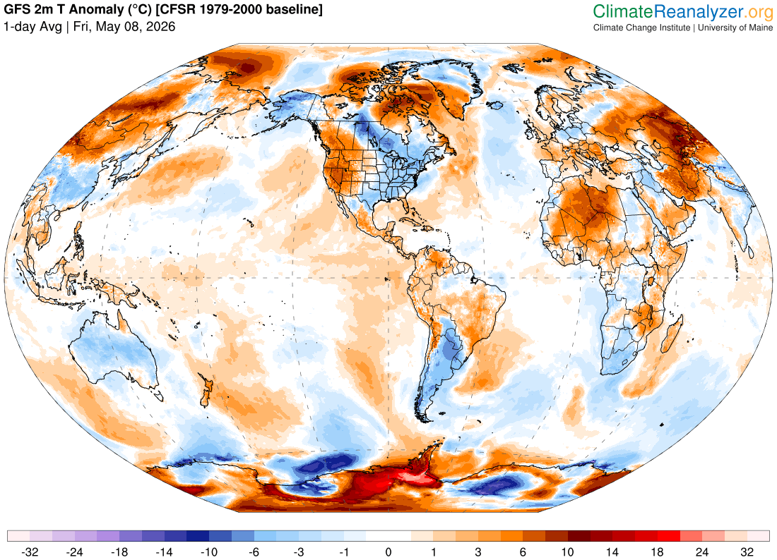
TONIGHT: A few early clouds, then clear & frosty. A low 30 to 35 with pockets of frost. Light south winds.
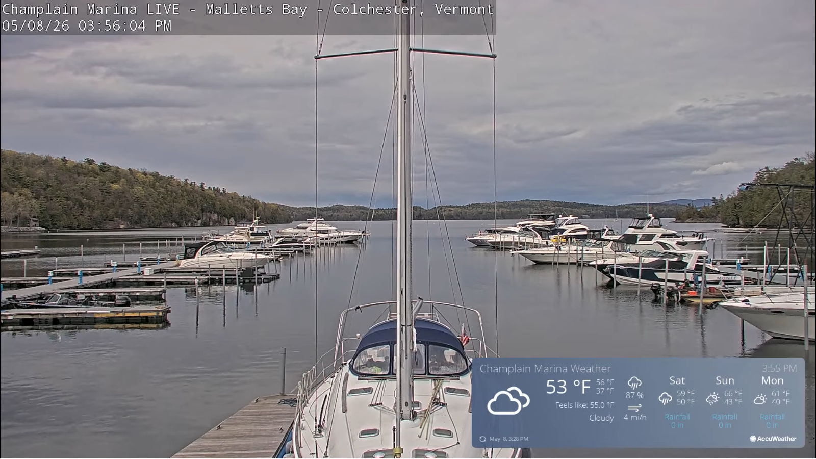
TOMORROW: Filtered morning sun then cloudy. Periods of light rain developing Barre-Montpelier area south. A high mid to upper 50s. South breeze picks up 10 to 15 mph…stronger/gusty Lake Champlain.
SATURDAY NIGHT: Mostly cloudy. Another round of showers likely toward daybreak. Lows in the lower 40s. South winds 10 mph.
SUNDAY: Morning sun then more clouds in the afternoon. Scattered showers with a possible rumble of thunder in the afternoon. A high around 60. Southwest winds 10 mph.
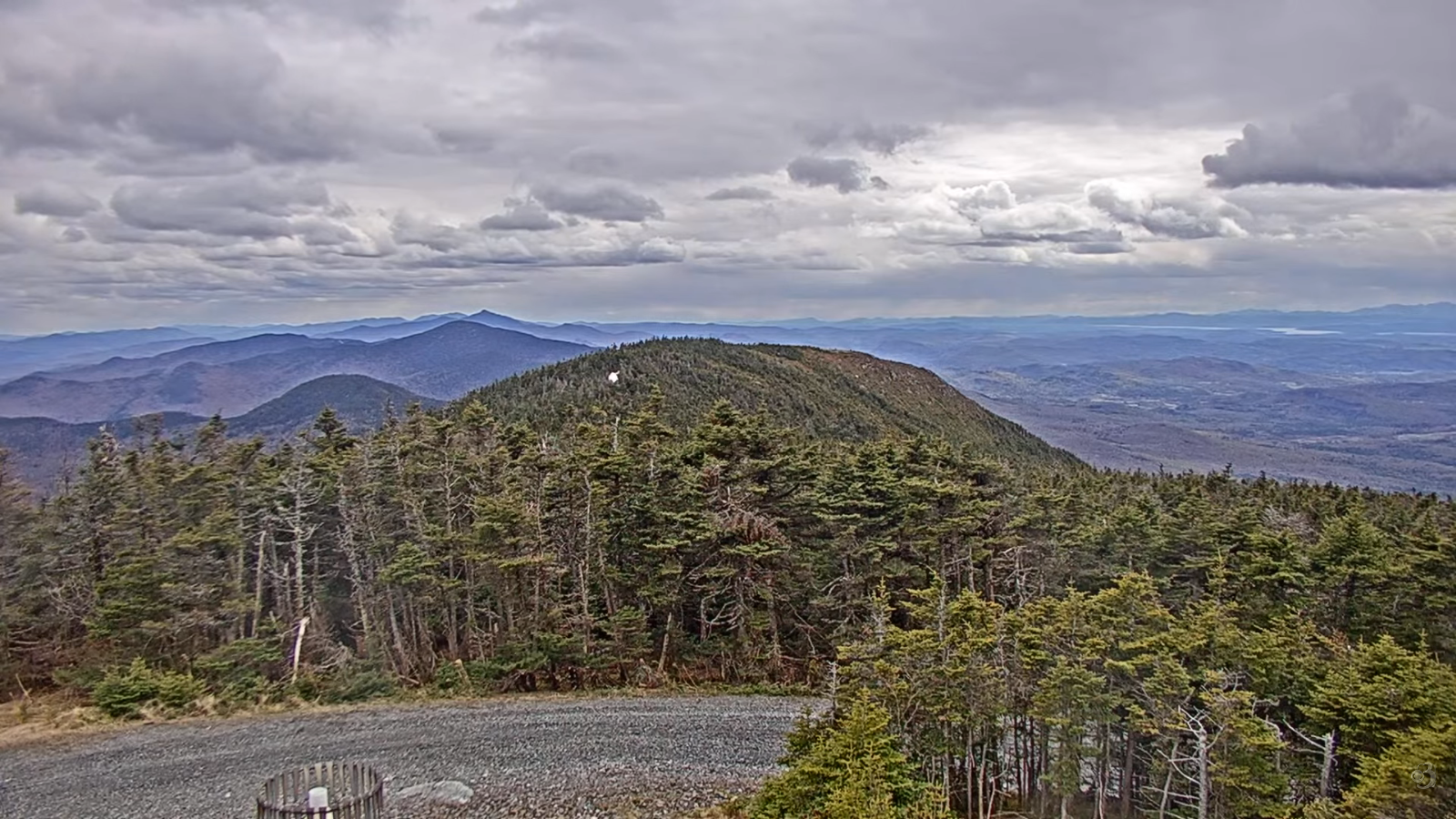
Looking further ahead
SUNDAY NIGHT: Mostly clear. Isolated frost. A low around 35.
MONDAY: Mixed sun and clouds. Slight chance for showers maybe a wet snow flake. Highs low to mid 50s.
TUESDAY: Morning sun, then few more afternoon clouds. Widely scattered afternoon showers. Lows 30 to 35 with scattered frost. Highs 50 to 55.
WEDNESDAY: Considerable clouds. Slight chance for late day showers. Lows in the low 30s & frosty. Highs 50s.
Average low: mid-30s to around 40 Average high low to mid 60s.
Start of meteorological summer or warmest 90 days June 6th…
RH/5-8/forecast][end] Fox Trot Delta Tango
