
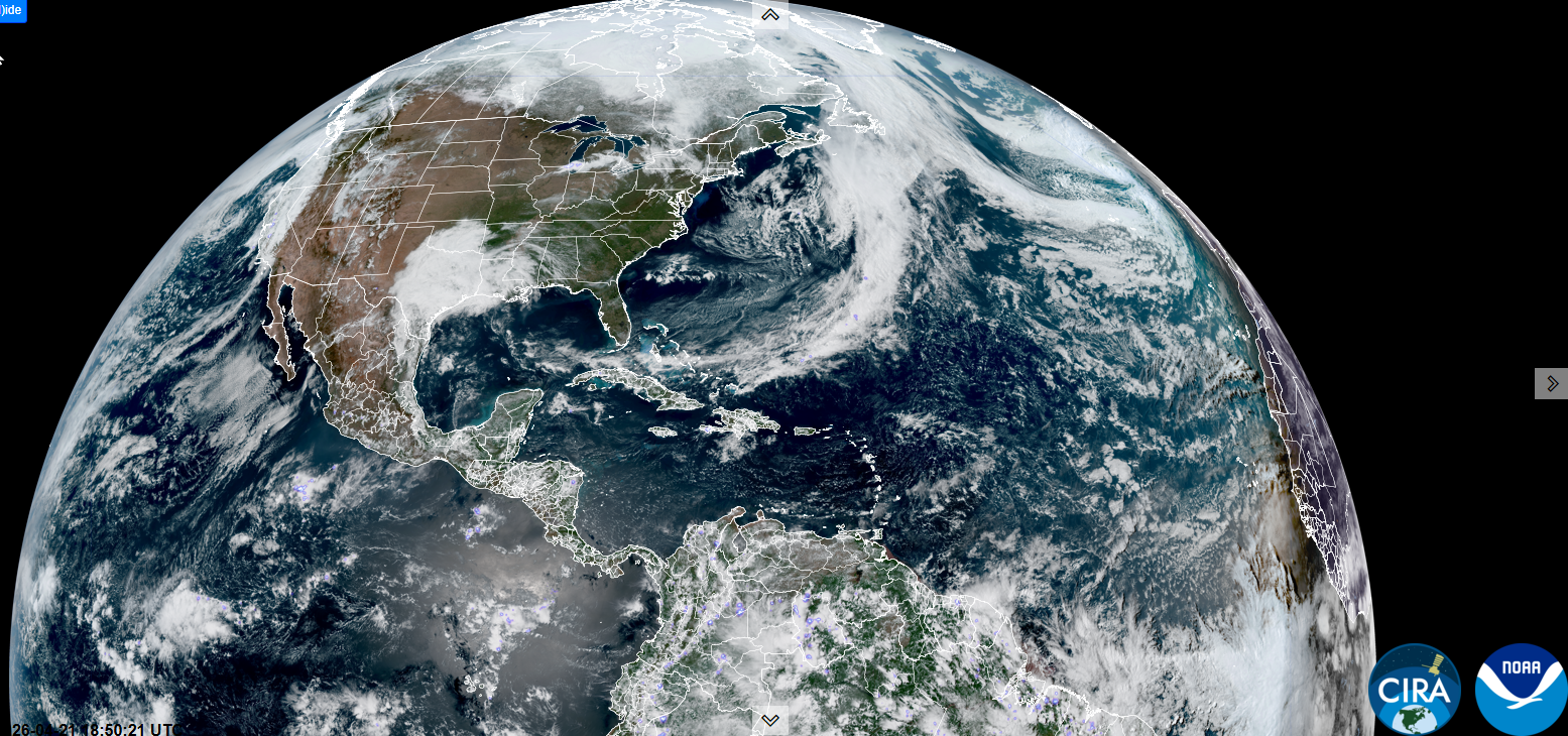
Roger Hill’s forecast 3:00 PM TUESDAY 4-21-26
TONIGHT: Partly to mostly cloudy. Maybe a few wet snowflakes mountains near daybreak. A low around 32. Light south winds breezier near the lake.

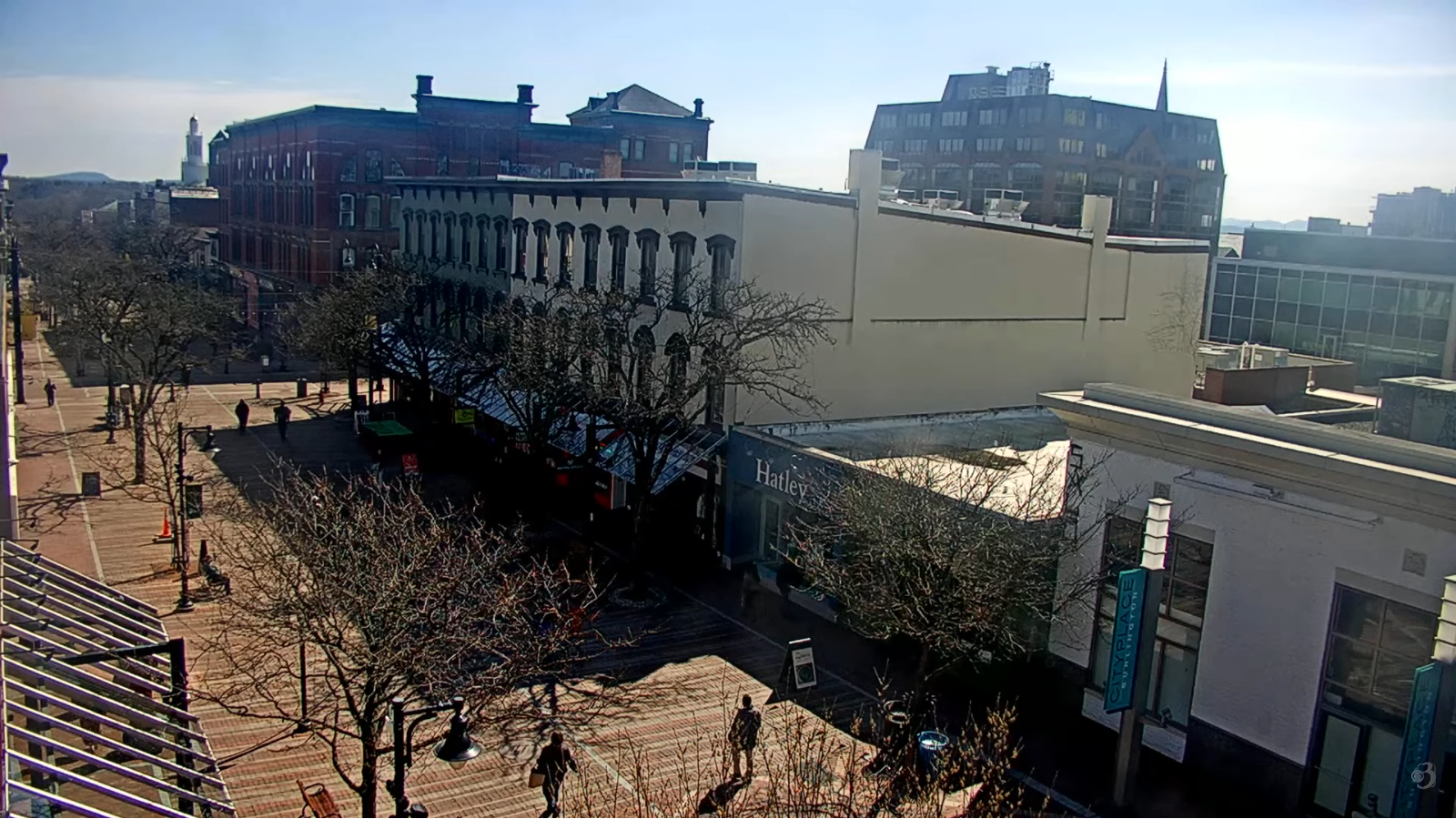
TOMORROW: More clouds than sun. Isolated sprinkles. A high near 50. South winds 10 to 15 mph.
WEDNESDAY NIGHT: Partly to mostly cloudy. Areas of fog overnight. Widely scattered light rain showers/sprinkles mixed with wet snow higher terrain. A low 32 to 35. Light southwest winds.
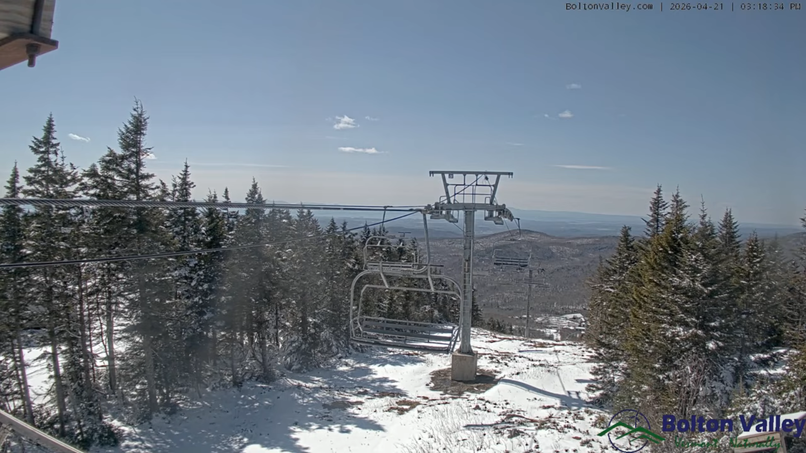
THURSDAY: Chance for passing light rain showers with wet snowflakes early. Otherwise, becoming mostly sunny and blustery. A high lower 50s. Northwest winds 10 to 20 mph.
Looking further ahead
THURSDAY NIGHT: Mostly clear with a few clouds. Lows upper 20s low 30s.
FRIDAY: Partly sunny. Highs about 50.
SATURDAY: Sunshine gives way to variable clouds. Lows upper 20s to low 30s. Highs rebound mid and upper 50s.

SUNDAY: Partly to mostly cloudy. Lows 30 to 35. Highs upper 50s.
Average low: low to mid-30s Average high mid-50s to low 60s.
Full Flower Moon May 1st 2026 at 1:23 PM
RH/4-21/forecast][end] Fox Trot Delta Tango
