
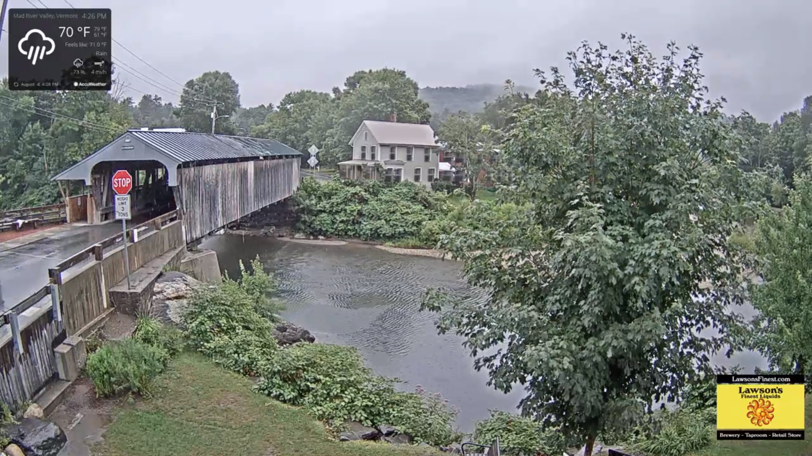
Flash Flood Watch thru Wednesday morning…Wind Advisory in effect 7 PM through 3 AM
Wednesday Morning…
TONIGHT: Cloudy. Windblown rain…occasionally moderate to briefly heavy at times with a rumble of thunder southern and eastern area this evening. Rain tapers to scattered showers some partial clearing. A low 60 to 65. East to southeast winds 10 to 20 mph with locally higher gusts, shifting to southwesterly overnight.
TOMORROW: Scattered morning showers, drying up in the afternoon. Otherwise mixed sun and clouds and pleasant. A high mid-70s. South to southwest breeze 10 to 15 mph.
WEDNESDAY NIGHT: Mostly clear. Patchy valley fog. A low near 55. Light southwest winds.
THURSDAY: Morning fog, then lots of sunshine. Cooler and less humid. A high 70 to 75. West breeze 10 mph.
Looking further ahead…
THURSDAY NIGHT: Mostly clear. A low 50 to 55.
FRIDAY: Pick of the week. Mostly sunny with some high cloudiness. Pleasant. A high around 75.
SATURDAY: Partly to mostly sunny. A low around 55. A high approaching 80.
SUNDAY: Variable high clouds, otherwise mostly sunny and gorgeous. A low 55 to 60. A high around 80.
MONDAY: Sunshine mixing with clouds. A low in the low 60s. A high around 80.
Average lows upper 50s to low 60s, average mid-70s to around 80.
RH/8-4[end]
