
Winter Weather Advisory expires 1 PM Tuesday
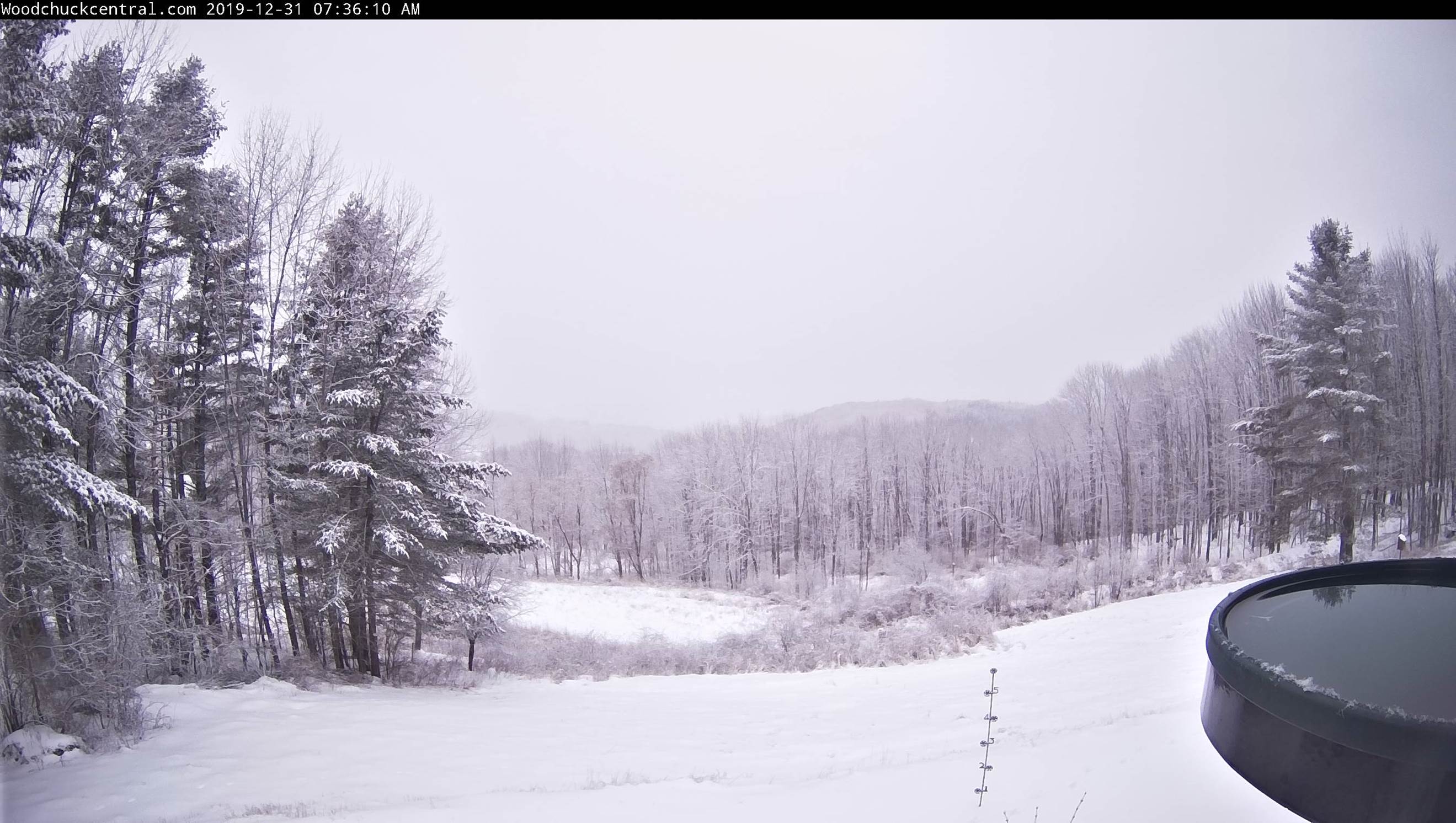
TODAY: Mainly cloudy. Morning snow showers tapering to widely scattered flurries. Accumulations an inch or less. A high near 35. Light winds.
TONIGHT NEW YEARS EVE: Mainly cloudy. A few isolated flurries early, becoming more numerous toward Midnight. Accumulations 1 to locally 3” near the mountains with a risk of a snow squall. A low 20 to 25. Light southwest winds.
WEDNESDAY NEW YEARS DAY: Scattered flurries with minor accumulation. A high near 32. West to southwest winds 10 to 15 mph.
Looking further ahead…
WEDNESDAY NIGHT: Partly cloudy. Scattered mainly mountain flurries dry up toward daybreak. A low 20 to 25.
THURSDAY: Pick of the week. Some clouds early, then partly to mostly sunny. A high around 32 degrees.
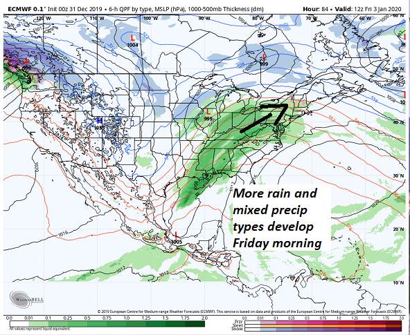
FRIDAY: Cloudy. Chance for light rain with a risk for spotty freezing rain in the morning. A low mid to upper 20s. A high near 40.
SATURDAY: Gray with periods of rain. Risk for spotty mixed precipitation in the morning Areas of fog. A low in the mid 30s. A high 40 to 45.
Average lows mid-single digits to low teens, average highs mid-20s to near 30.

RH/12-31-19[end]
