
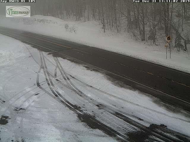
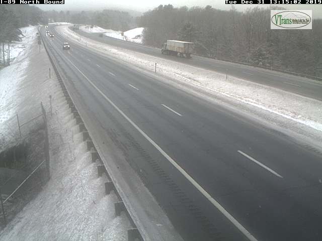
TONIGHT NEW YEARS EVE: Mainly cloudy. Flurries and wet snow showers becoming more numerous later this evening with a risk for a snow squall northern areas. Accumulations 1 to locally 3” especially northern and western Vermont. A low 20 to 25. Southwest winds 10 mph.
TOMORROW NEW YEARS DAY: Scattered flurries and few mountain snow showers. A dusting to an inch accumulation. A high near 32. West winds 10 to 20 mph winds.
WEDNESDAY NIGHT: Partly cloudy. Scattered flurries dry up toward daybreak. A low in the lower 20s. Light west winds.
THURSDAY: Pick of the week. Some clouds early, then partly to mostly sunny. A high around 32 degrees. Southwest winds 10 mph.
Looking further ahead…
THURSDAY NIGHT: Fair early then increasing clouds. A low mid to upper 20s.
FRIDAY: Cloudy. Chance for a few sprinkles. A high in the low 40s.
SATURDAY: Gray. Chance for periods of rain mixed with snow higher terrain. Areas of fog. A low in the mid-30s. A high 40 to 45.
SUNDAY: Mostly cloudy. Chance for snow or snow showers. A low 30 to 35. A high mid 30s.
Average lows mid-single digits to low teens, average highs mid-20s to near 30.
RH/12-31-19[end]

H Roger. Happy New year to you and your family! The storm earlier this week had an aspect I have never had heard before in and around Hartford, Conn. the metereologist Bob Cox of WTIC reported at one time there was thundersleet with also HAIL during the thunderstorm! Weather sure is fascinating! Have you ever heard that combination before? Roy from New York
LikeLike