
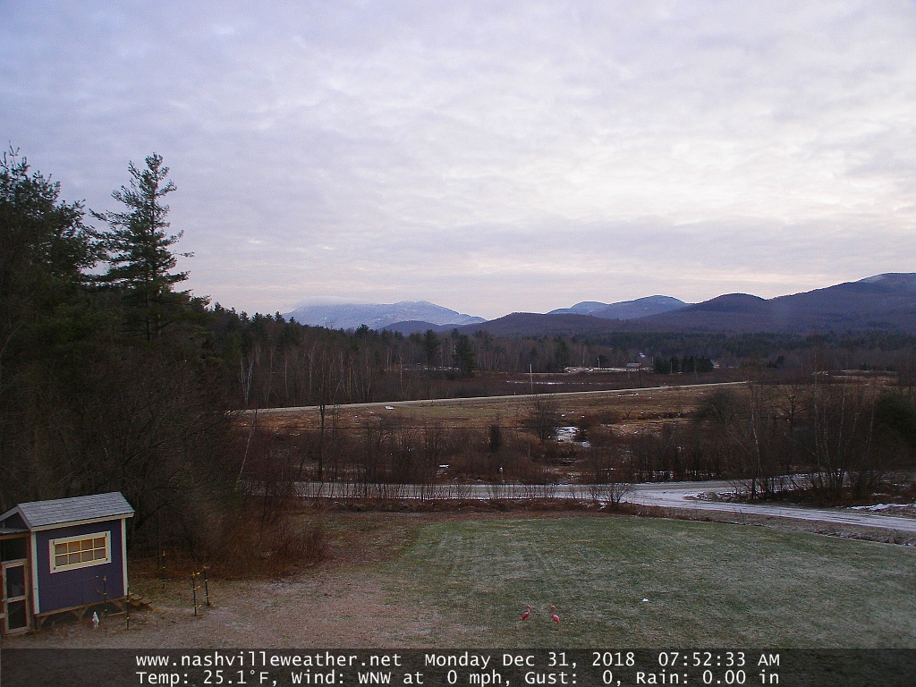
TODAY: Filtered sunshine through high clouds this morning thickening clouds afternoon. A high mid 30s to around 40. Light south winds developing.
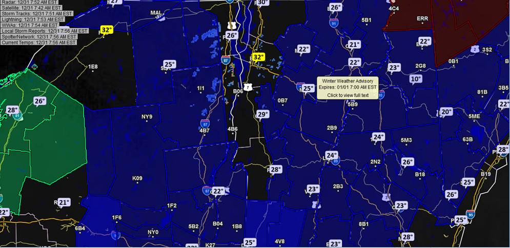
Winter Weather Advisory Tonight…
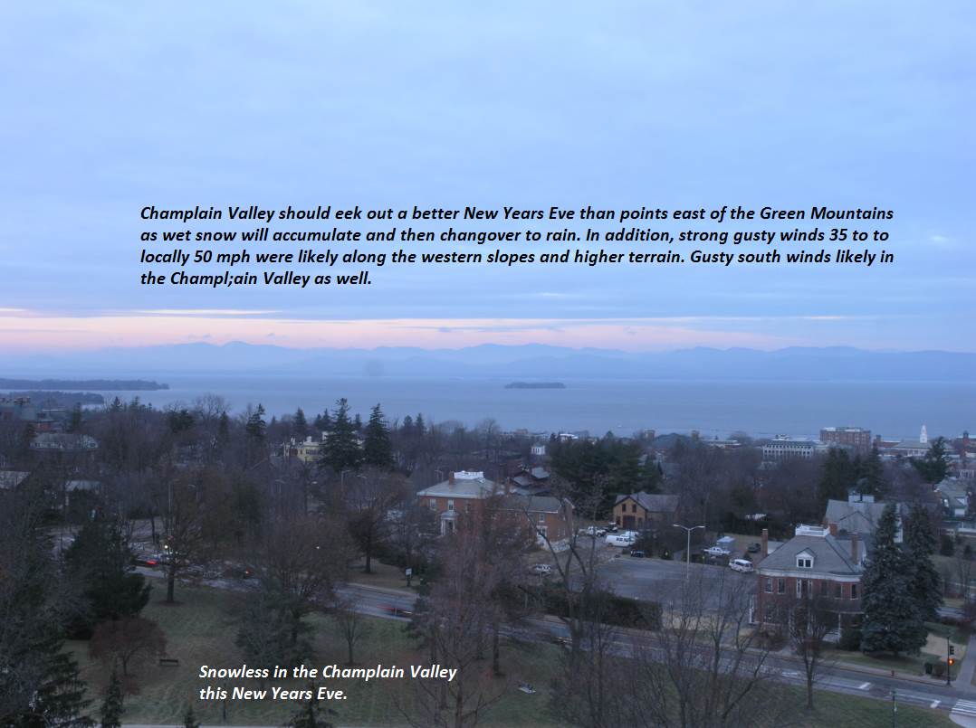
TONIGHT: Overcast. Accumulating wet snow, mixing with a brief period of sleet & freezing rain around midnight producing slick travel. Eventually all rain with a slow rise in temperatures. Snow accumulation 2 to 5”locally more in the higher summits. A low near 32 degrees this evening then rising into the mid 30s. Southeast winds 10 to 20 mph…but much stronger across elevated terrain.
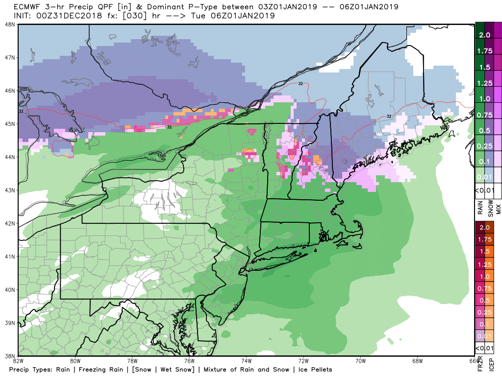
TUESDAY NEW YEARS DAY: Rain showers transitioning to scattered snow showers and flurries in the morning before exiting in the afternoon. Blustery and sharply colder. An early high near 45. Northwest winds 10 to 25 mph.
Looking further Ahead…
TUESDAY NIGHT: Mostly clear and frigid. A low 5 below to 5 above.
WEDNESDAY: Mostly sunny and colder. A high mid teens to near 20.
THURSDAY: Mostly cloudy. Chance for light flurries or mountain snow showers. A low in the teens. A high around 30.
FRIDAY: Considerable cloudiness. Scattered light snow showers or flurries. Possible wet snow developing southern areas. A low near 20. A high 35 to 40.
Average lows mid single digits to around 15 above. Average highs mid 20s to near 30.
RH/12-31[end]
