
Winter Storm Warning through this afternoon…
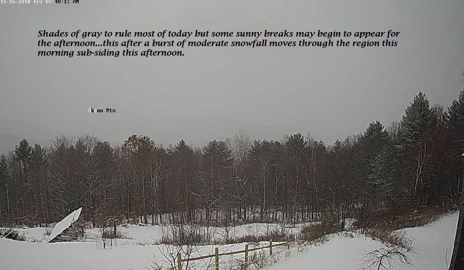
TODAY: Gray. Snow…moderate at times northern areas with additional 2 to locally 5”. Snow mixed with sleet and pockets of freezing rain Orange County and points south changing back to a period of snow before taping off early to midafternoon. A high 32 to 35. Light northeast winds.
TONIGHT: Considerable clouds. Scattered light snow showers or flurries with additional minor accumulation. A low around 32. West breeze 10 mph.
SATURDAY: Scattered mountain snow showers…with some minor accumulation. Scattered rain showers valley floors, otherwise intervals of sun developing and blustery. A high mid to upper 30s. West to northwest winds 10 to 25 mph.
Looking further ahead…
SATURDAY NIGHT: Scattered evening snow showers or flurries with a skiff of accumulation. A low in the mid to upper teens.
SUNDAY: Partly sunny, giving way more clouds in the afternoon. A high near 30.
MONDAY: Overcast. Chance for light accumulating wet snow possible mixed precipitation. A low in the teens. A high around 32. Chance for snow squalls and sharply colder toward evening.
TUESDAY: Sunny but frigid. A low 5 below to 5 above. A high only in the mid teens.
WEDNESDAY: Mostly sunny. A low zero to 10 below. A high 20 to 25.
THANKSGIVING DAY: Mixed clouds and sun. Scattered flurries northern areas. A low in the teens. A high in the mid 30s to near 40.
Average lows mid 20s to low 30s. Average highs 40 to 45.
RH/11-16-18[end]
