
TONIGHT: Clear & starlit. Patchy valley fog. A low upper 40s to low 50s. Light southwest winds.
TOMORROW: Lots of sunshine. A high pushing to near 80. Northwest breeze 10 mph.
SATURDAY NIGHT: Clear & starlit. A low 50 to 55. Little wind
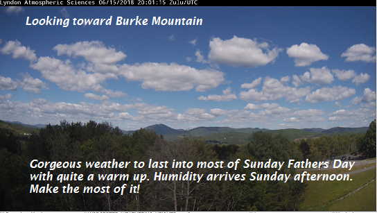
SUNDAY Fathers Day: Mostly sunny in the morning then partial afternoon sunshine. A rising chance for a late day thunderstorm across the northern tier. Much warmer and muggy in the afternoon, with a high around 85. Southwest breeze 10 to 15 mph.
Looking further ahead…
SUNDAY NIGHT: Cloudy periods. Scattered showers and thunderstorms northern areas. Sultry and warm. A low around 70.
MONDAY: Variably cloudy & sticky. Mainly late day and evening thunderstorms…some strong and locally heavy. A near record high around 90.
TUESDAY: A few morning clouds, then increasing sunshine and comfortable. A low around near 60. A high 70 to 75.
WEDNESDAY: Partly to mostly sunny. A low around 50. A high around 80.
THURSDAY: Sunshine with afternoon cloudiness. A low near 55. A high around 80.
Average lows 50 to 55, normal highs around 75.
RH/6-15[end]
| Virus-free. www.avast.com |
