
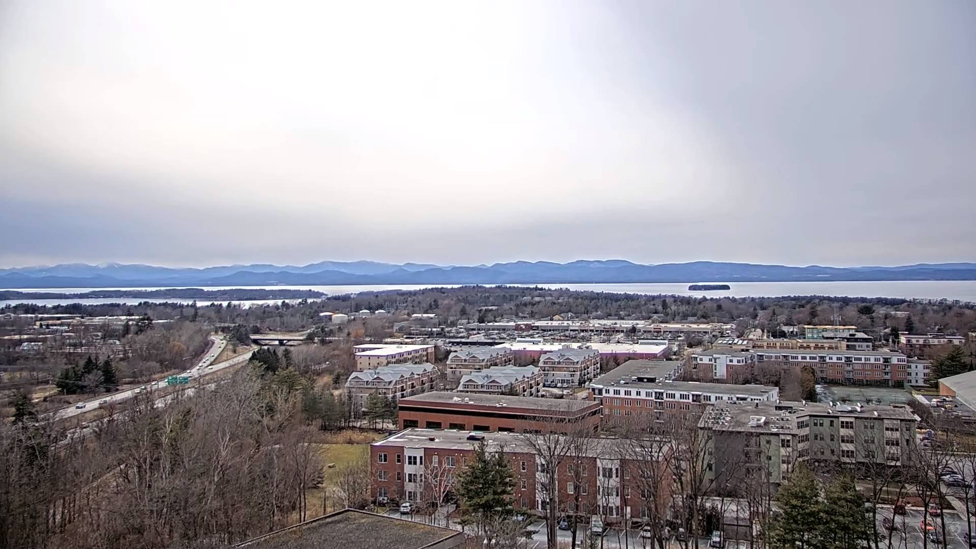
Updated Friday Evening Forecast — March 22nd, 2024
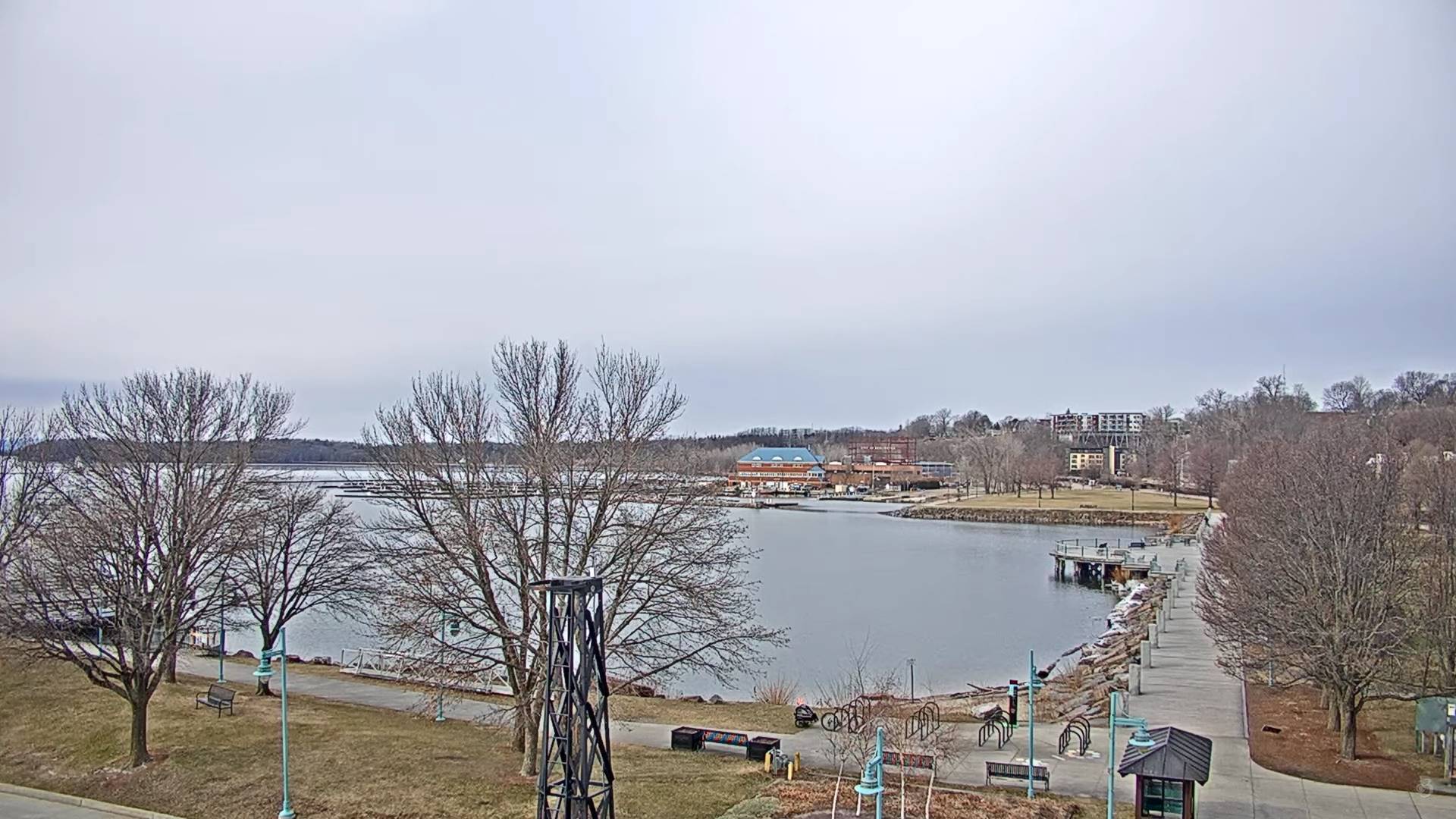
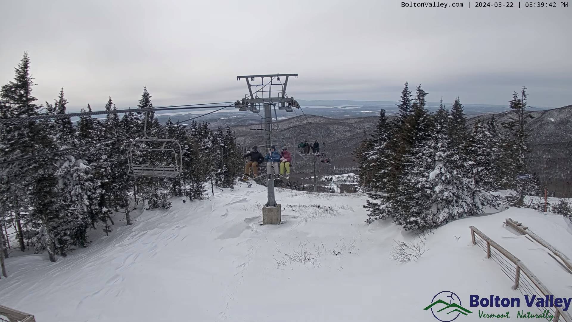
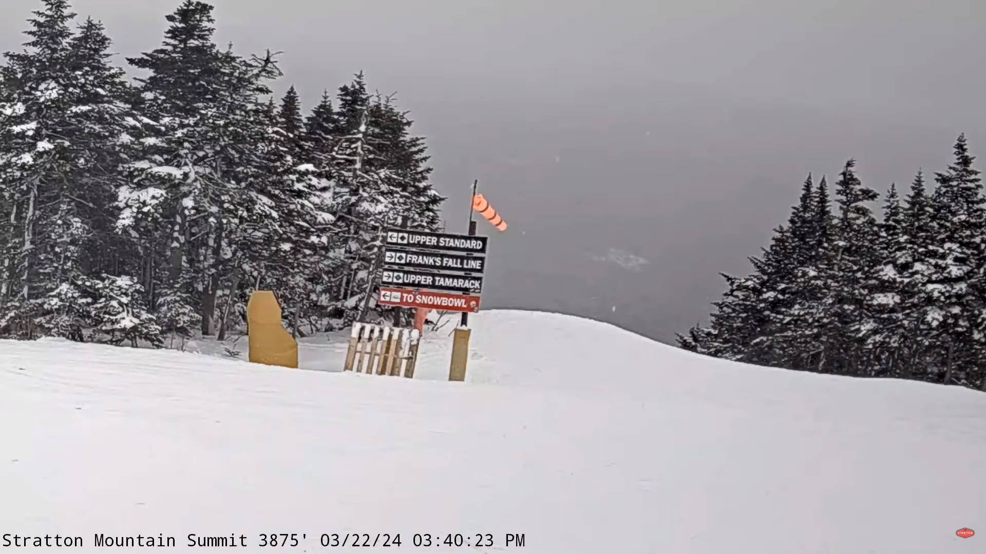
Winter Storm Warning this evening thru Saturday evening…bigger snowfalls of the season
TONIGHT: Cloudy. Snow arriving later this evening or around midnight…moderate to heavy at times southern Vermont. About 1 to locally 6” inches overnight most in southern areas. A low around 20. Light east winds.
TOMORROW: Gray and wintry. Snow likely…moderate to heavy. Additional accumulation of 5 to 12” …some of it wet Rutland Windsor counties with a wintry mix or rain further south cutting down accumulations there. A high about 30. Light east to northeast winds.
SATURDAY NIGHT: Leftover snow or snow showers with minor additional accumulation exits. Gradual clearing later overnight.A low around 15. Northwest winds 10 to 15 mph.
SUNDAY: High cloudiness eastern areas, other bright sun and blue skies. A high 30 to 35. A light northwest wind.
Looking further ahead
Full Worm moon…3:00 AM Monday morning
SUNDAY NIGHT: Mostly clear & fully moonlit. A low in the single digits to low teens.
MONDAY: Lots of sunshine with a few high clouds. A high 40 to 45.
TUESDAY: Morning sun, then mostly cloudy. A low ranging 5 to 15. A high 40 to 45.
WEDNESDAY: Mainly gray. Rising chance for rain showers. A low near 35. A high around 45.
Average lows upper-teens to mid-20s. Average highs low to mid 40s
Total Solar Eclipse April 8th 3:25 PM EDT
End or meteorological winter was March 9th Start of meteorological summer June 6th
RH/3-20forecast][end]
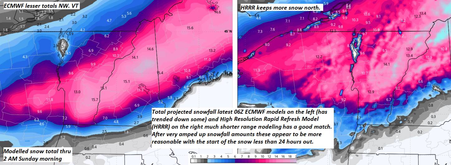
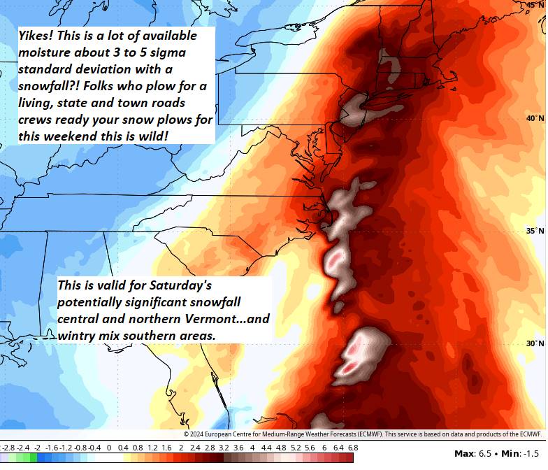
~test~This snow depth increase which is more aligned with reality compared to 10:1 snowfall projections. Still, this is rather huge. Two trusted models are matching up pretty well.
~test~
This snow depth increase which is more aligned with reality compared to 10:1 snowfall projections. Still, this is rather huge. Two trusted models are matching up pretty well.

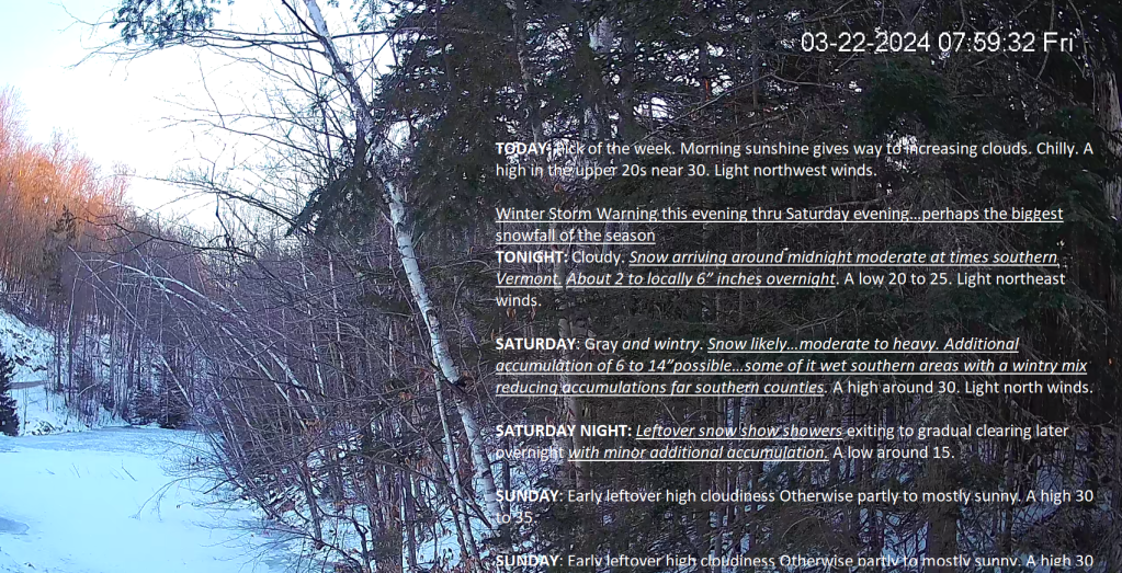
Updated Friday Morning Forecast — March 22nd, 2024
TODAY: Pick of the week. Morning sunshine gives way to increasing clouds. Chilly. A high in the upper 20s near 30. Light northwest winds.
Winter Storm Warning this evening thru Saturday evening…perhaps the biggest snowfall of the season
TONIGHT: Cloudy. Snow arriving around midnight moderate at times southern Vermont. About 2 to locally 6” inches overnight. A low 20 to 25. Light northeast winds.
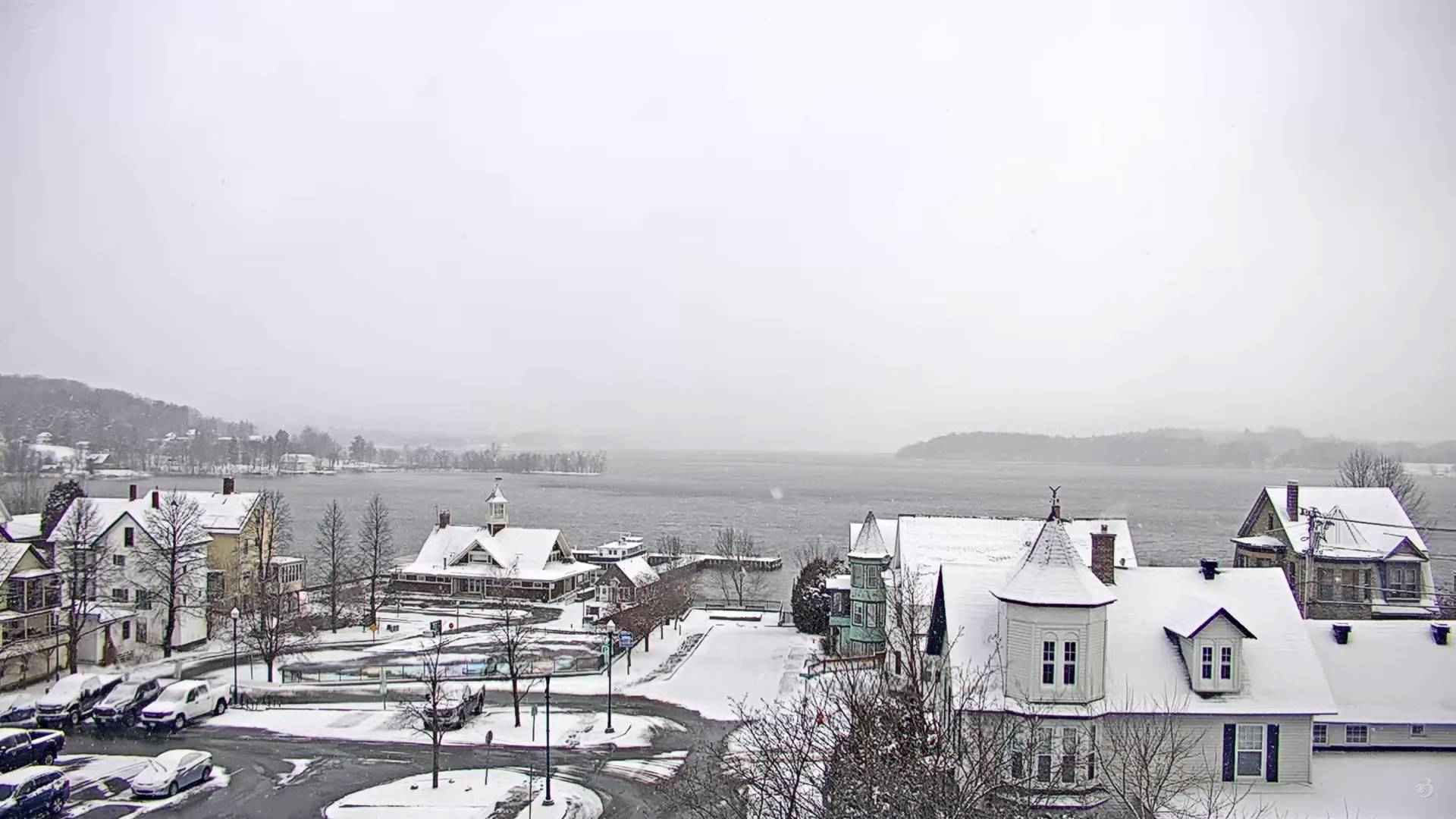
SATURDAY: Gray and wintry. Snow likely…moderate to heavy. Additional accumulation of 6 to 14”possible…some of it wet southern areas with a wintry mix reducing accumulations far southern counties. A high around 30. Light north winds.
Looking further ahead
SATURDAY NIGHT: Leftover snow show showers exiting togradual clearing later overnight with minor additional accumulation.A low around 15.

SUNDAY: Early leftover high cloudiness Otherwise partly to mostly sunny. A high 30 to 35.
MONDAY: Lots of sunshine with a few high clouds. A low in the single digits to low teens. A high 40 to 45.
TUESDAY: Morning sun, then mostly cloudy. A low ranging 5 to 15. A high 40 to 45.
WEDNESDAY: Mainly gray. Rising chance for rain showers. A low near 35. A high around 45.
Average lows upper-teens to mid-20s. Average highs low to mid 40s
Total Solar Eclipse April 8th 3:25 PM EDT
End or meteorological winter was March 9th Start of meteorological summer June 6th
RH/3-20forecast][end]
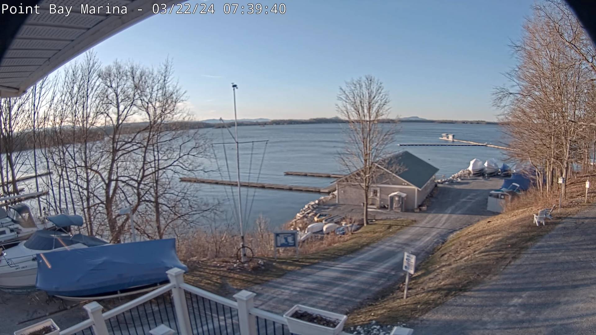
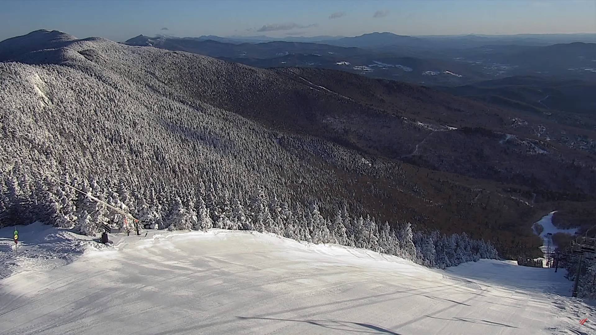
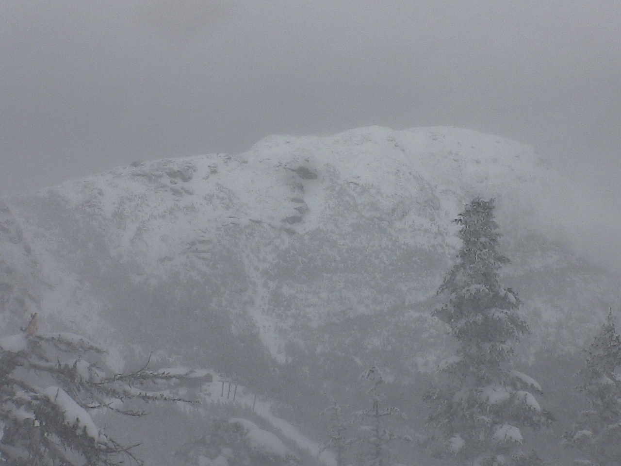
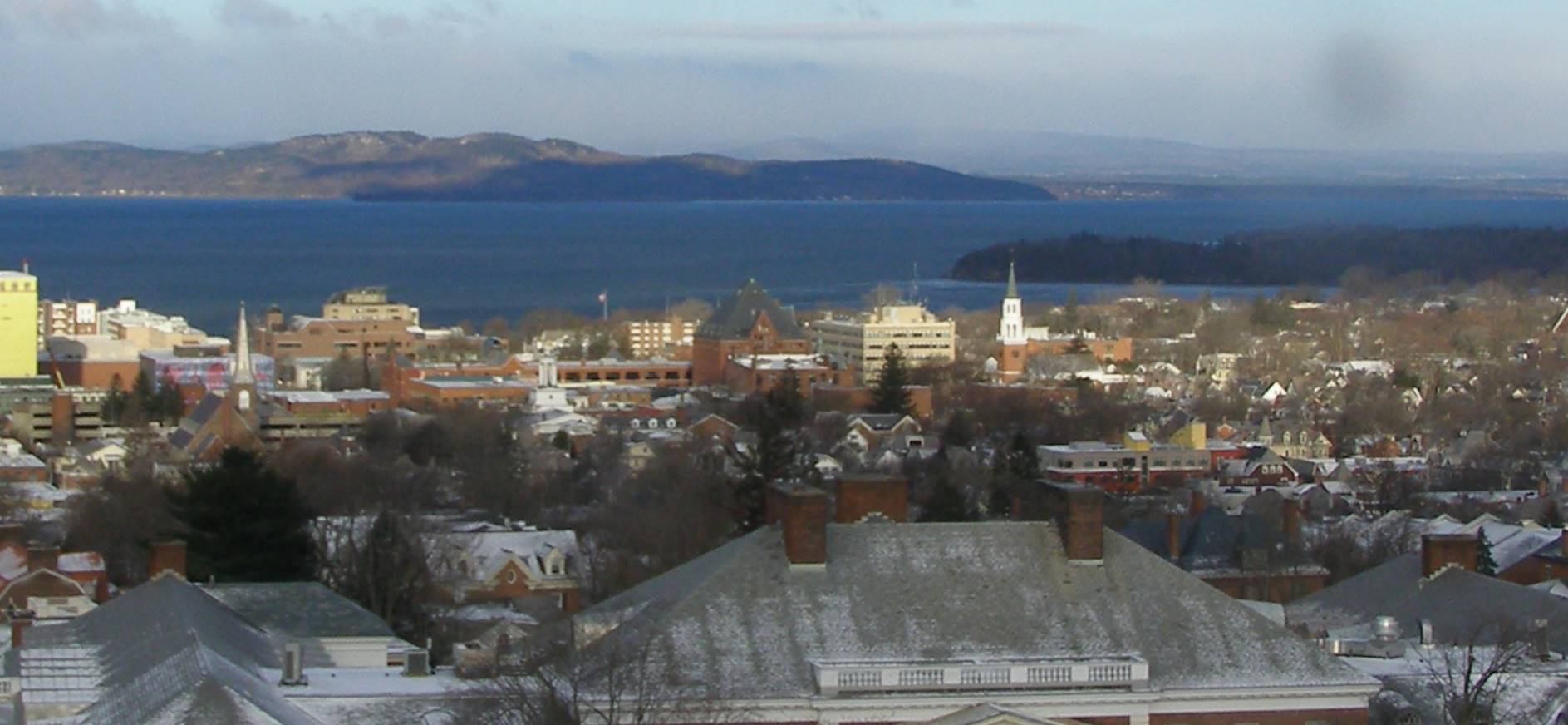
A beauty this morning but clouds push in. Perhaps the biggest snowstorm of the season for good portions of the Green Mountain State arrives later tonight. Hefty snowfall exceeds a foot in many central Vermont areas lesser amounts far north and far south.

Updated Thursday Evening Forecast — March 21st, 2024
TONIGHT: Becoming mostly clear & partially moonlit. A low upper single digits to mid-teens. Northwest winds 10 to 15 mph lowering wind chills this evening falling off overnight.
TOMORROW: Pick of the week. Morning sunshine, then clouding up. Chilly. A high in the upper 20s near 30. Light northwest winds.
Winter Storm Watch Friday evening into Saturday evening…for a significant snowfall
FRIDAY NIGHT: Cloudy. Snow arriving around midnight. About 2 to locally 6” inches overnight. A low 20 to 25. Light west winds.
SATURDAY: Gray and wintry. Snow likely…moderate to possibly heavy. Significant accumulation of 7 to 14”possible…some of it wet south central areas. A wintery mix far southern areas. A high upper 20s around 30. Winds becoming light and northeasterly.
Looking further ahead
SATURDAY NIGHT: Clouds give way towards partial clearing overnight.A low 15 to 20.
SUNDAY: Sunny with some high clouds. A high near 35.
MONDAY: Lots of sunshine with a few high clouds. A low around 10. A high near 40.
TUESDAY: Sunshine with some more clouds late. A low in the teens. A high 35 to 40.
Average lows upper-teens to mid-20s. Average highs low to mid 40s
Total Solar Eclipse April 8th 3:25 PM EDT
End or meteorological winter was March 9th Start of meteorological summer June 6th
RH/3-20forecast][end]
Updated Thursday Morning Forecast — March 21st, 2024
TODAY: Clouds with breaks of sun and a few mountain flurries gives way to partial afternoon sun. Blustery to windy with lowered wind chills. A high in the mid to upper 20s. Gusty northwest winds 10 to 25 mph with higher gusts eastern slopes of the Greens.
TONIGHT: Becoming mostly clear & partially moonlit. A low upper single digits to mid-teens. Northwest winds 10 to 15 mph this evening lowering wind chills falling off overnight.
FRIDAY: Pick of the week. Morning sunshine gives way to thickening clouds. Rather cold. A high ranging 25 to 30 except warmer southern areas. Light northwest winds.

Looking further ahead
Winter Storm Watch Friday evening into Saturday evening…for a significant snowfall
FRIDAY NIGHT: Cloudy. Snow likely. About 1 to 4 inches of accumulation. A low 20 to 25.
SATURDAY: Gray and wintry. Accumulating snow likely…moderate to heavy at times. Potential significant accumulation…some of it wet south central areas with a wintry mix far southern Vermont. A high low 30s, but mid-30s southern areas.
SUNDAY: Mostly sunny skies and a beauty. A low 15 to 20. A high near 35.
MONDAY: Lots of sunshine with a few high clouds. A low around 10. A high near 40.

TUESDAY: Increasing clouds. A low in the teens. A high 35 to 40.
Average lows upper-teens to mid-20s. Average highs low to mid 40s
Total Solar Eclipse April 8th 3:25 PM EDT
End or meteorological winter was March 9th Start of meteorological summer June 6th
RH/3-20forecast][end]
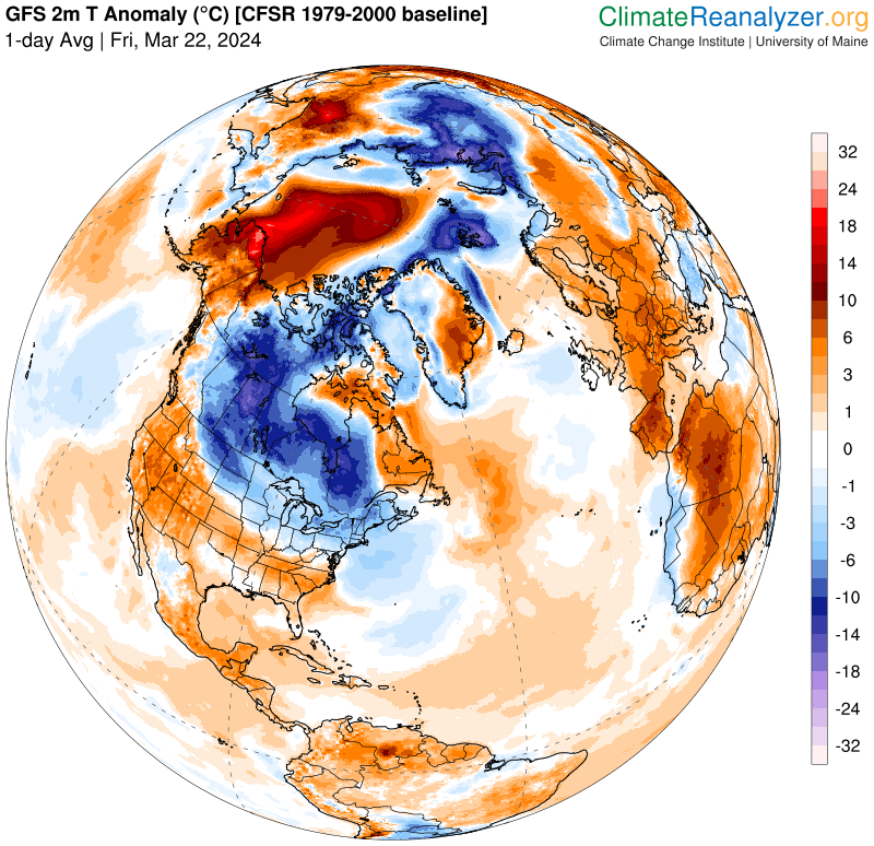
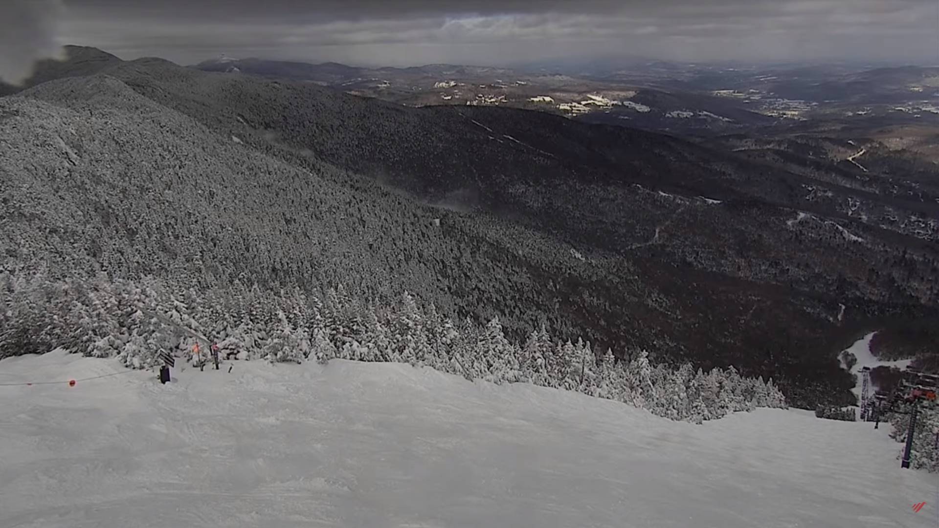
Below normal temperatures added with gusty northwesterly winds to make it feel like mid-winter! Some impacts to power possible eastern slopes today. Potential for heavy snowfall shaping up Friday night into Saturday evening.

