
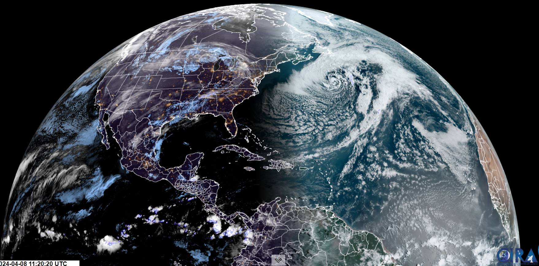
First area of land out of the South Pacific that sees the eclipse in the very beginning stages. It’s on its way!!!

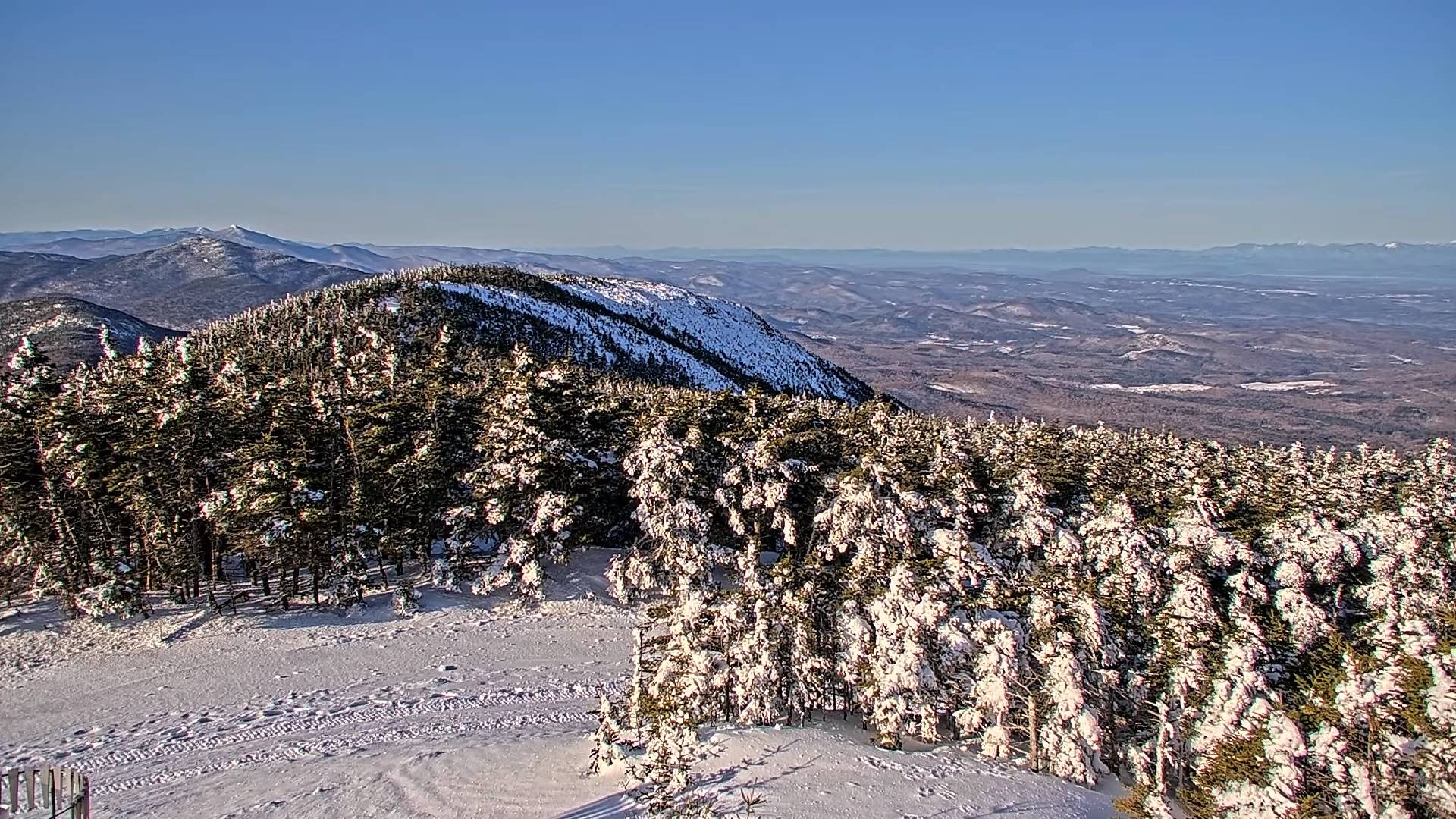
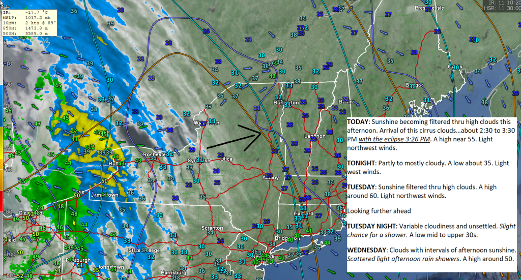
TODAY: Sunshine becoming filtered thru high clouds this afternoon. Arrival of this cirrus clouds…about 2:30 to 3:30 PM with the eclipse 3:26 PM. A high near 55. Light northwest winds.
TONIGHT: Partly to mostly cloudy. A low about 35. Light west winds.
TUESDAY: Sunshine filtered thru high clouds. A high around 60. Light northwest winds.
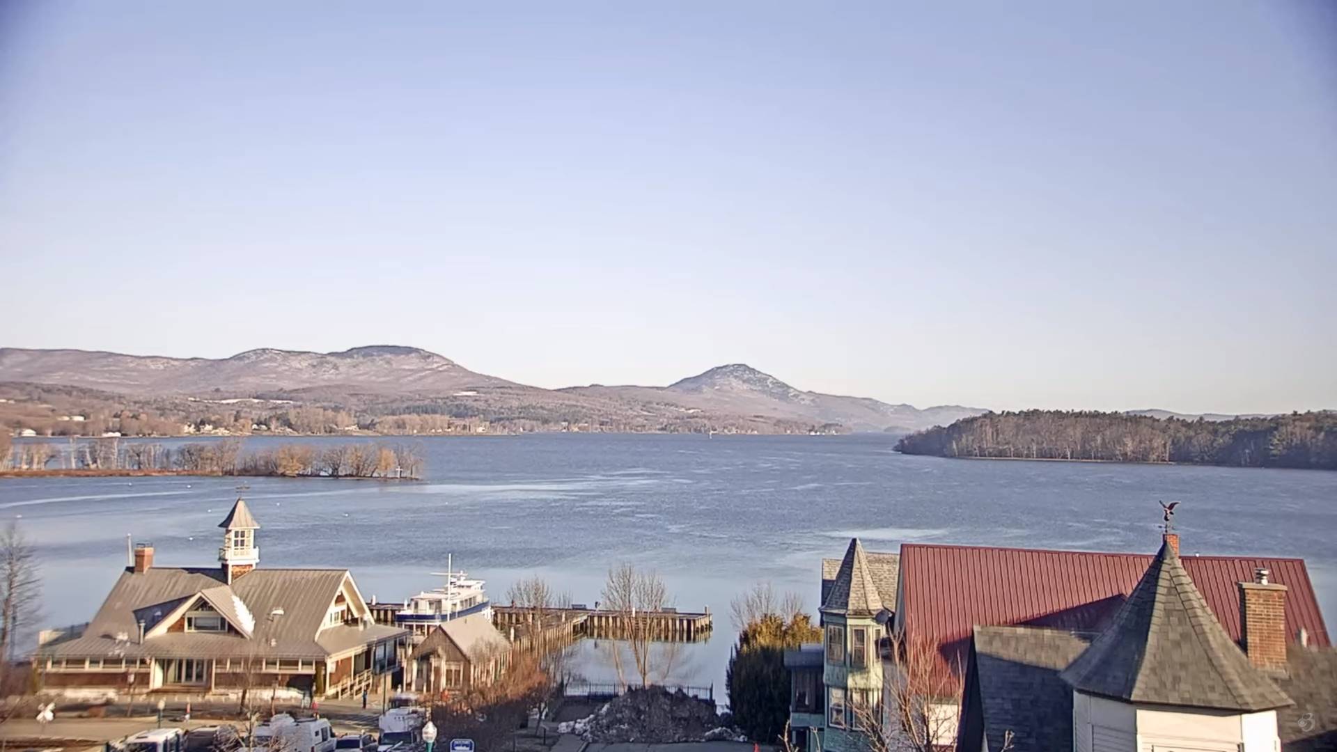
Looking further ahead
TUESDAY NIGHT: Variable cloudiness and unsettled.Slight chance for a shower.A low mid to upper 30s.
WEDNESDAY: Clouds with intervals of afternoon sunshine. Scattered light afternoon rain showers. A high around 50.
THURSDAY: Gray and damp. Good chance for periods of rain or rain showers. A low 40 to 45. A high upper 40s to around 50.
FRIDAY: Clouds with a break or two of sun. Good chance for periods of rain or showers. A low 45 to 50. A high 55 to 60.
SATURDAY: Morning sun then lots of clouds. Chance for rain showers mixed with wet snow higher terrain late. A low near 40. A high in the mid-40s.
Average lows mid-20s to low 30s. Average 50 to 55
Start of meteorological summer June 6th
RH/4-8forecast][end]
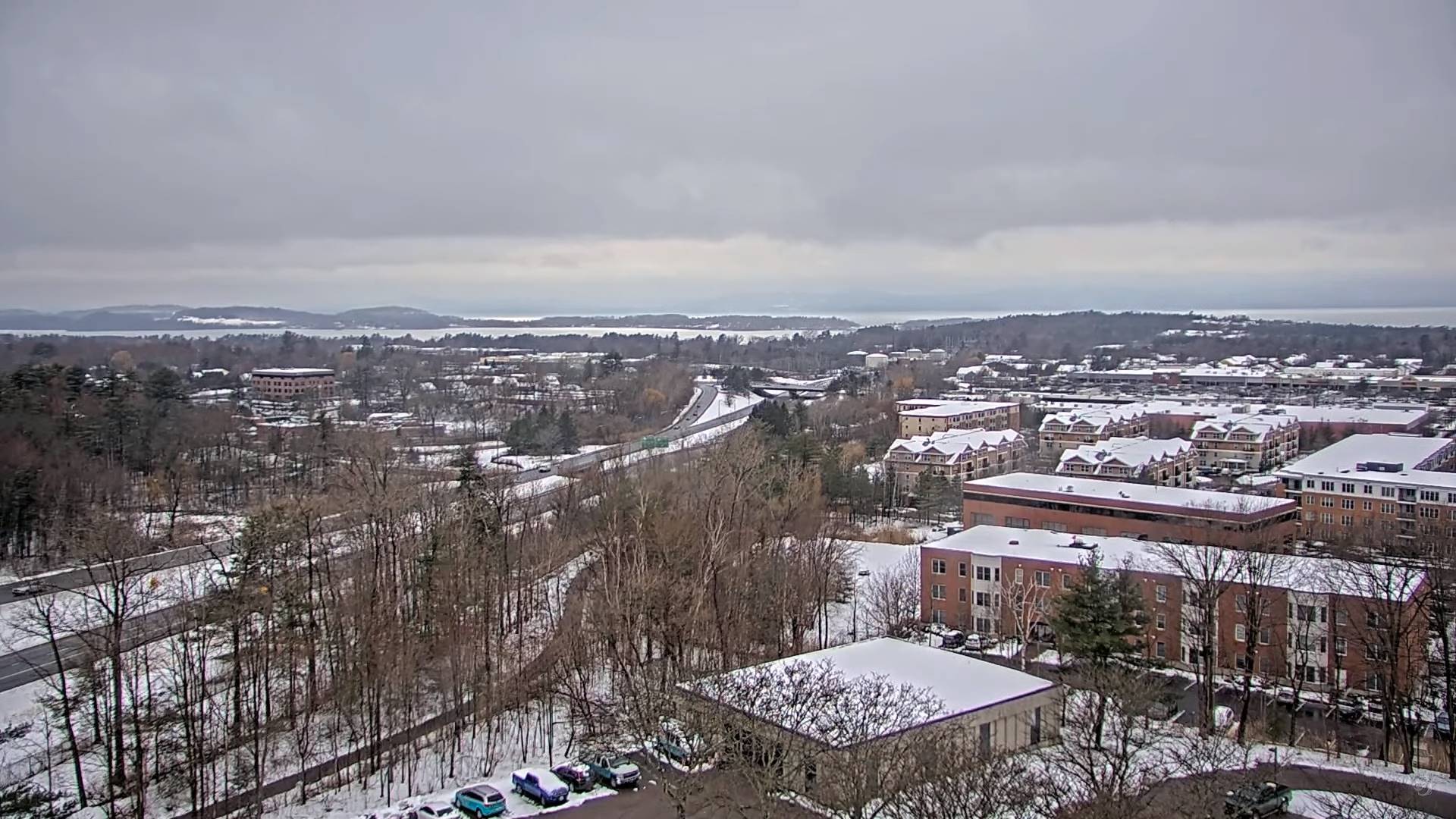
TONIGHT: Overcast. Scattered snow showers or flurries. A dusting to a half inch or so. A low about 30. Light northwest winds.
TOMORROW: Cloudy with a few breaks of sun away from the mountains late. Scattered leftover rain or wet snow showers. Little to no accumulation. A high in the upper 30s to near 40. North to northwest winds 10 to 20 mph.
SATURDAY NIGHT: Considerable lingering cloudiness with a few northern mountain flurries winding down.A low mid to upper 20s. A light north wind.
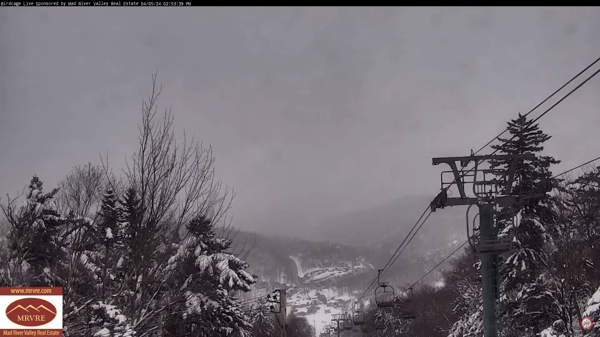
SUNDAY: Mainly gray, eventually giving way to periods of late afternoon sunshine. A high near 45. North winds 10 mph.
Looking further ahead
SUNDAY NIGHT: Clear and colder.A low in the upper teens to around 20.
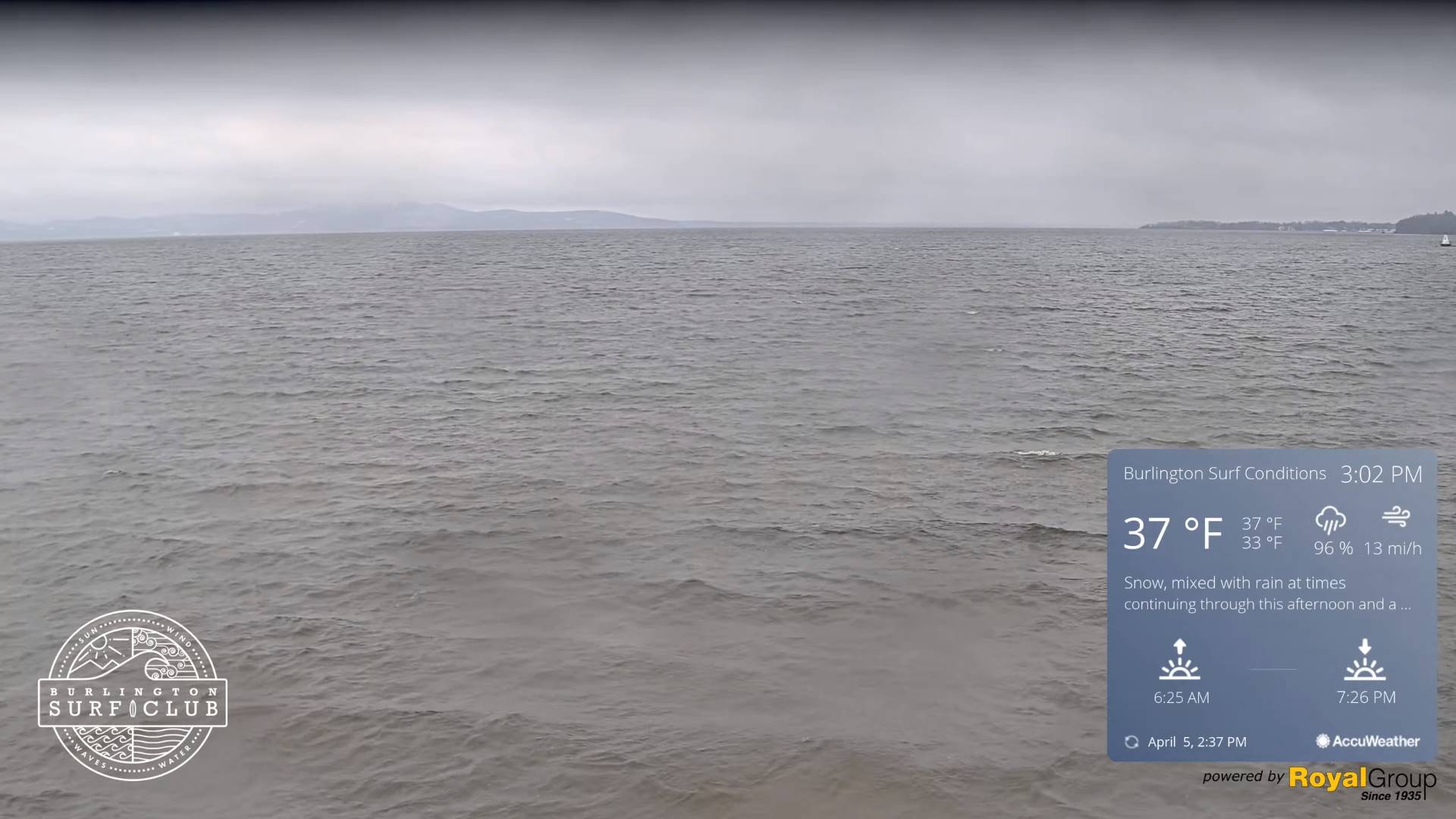
MONDAY: Mostly sunny with some thin high clouds. Total Solar Eclipse 3:26 PM EDT. A high around 50.
TUESDAY: Sunshine filtered thru high clouds. A low 25 to 30. A high around 55.
WEDNESDAY: Partly sunny with more in the afternoon. Rising chance for scattered afternoon rain showers. A low around 25. A high in the 50s.
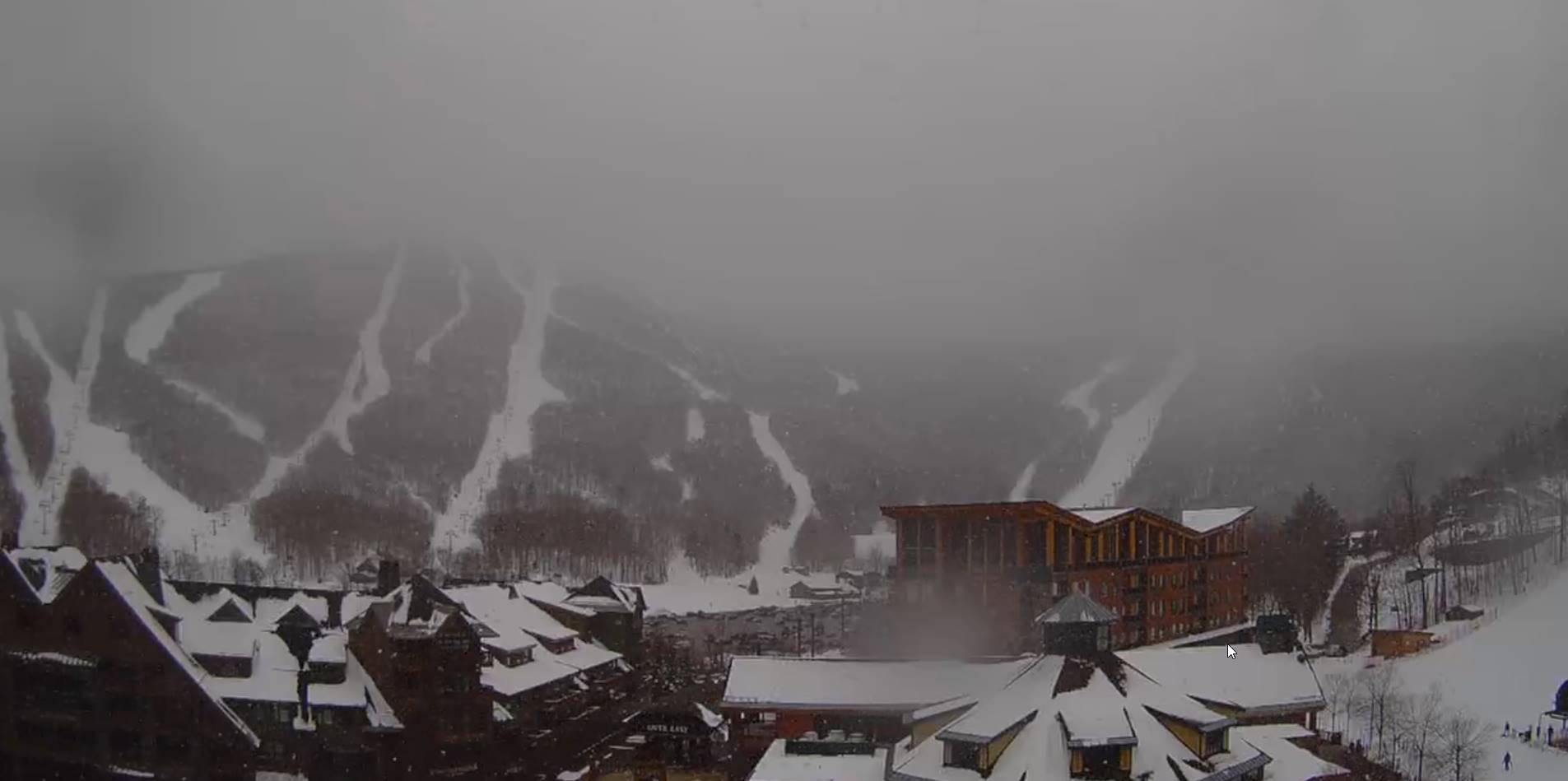
Average lows 25 to 30. Average highs 45 to 50.
Start of meteorological summer June 6th
RH/4-5forecast][end]
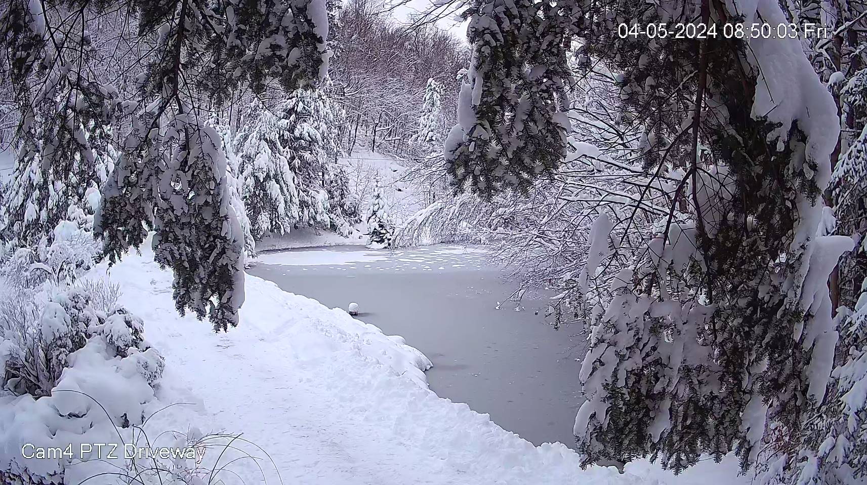
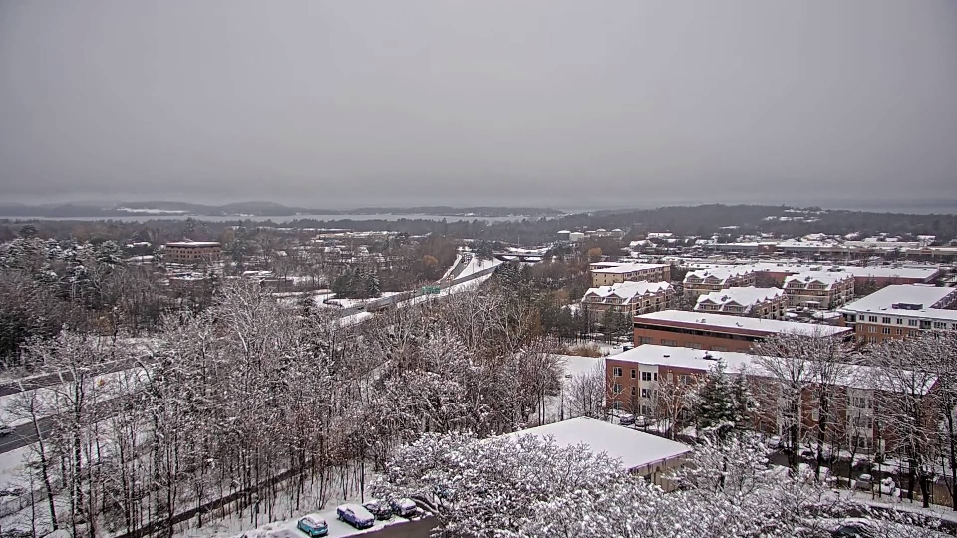
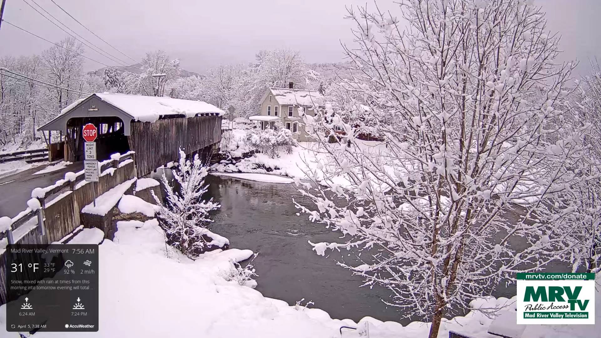
TODAY: Cloudy. Scattered wet snow showers, mixed with rain valleys. A slushy dusting to an inch in spots. A high in the mid to upper 30s. Northwest winds 10 to 15 mph.
TONIGHT: Overcast. Scattered snow showers or flurries. A dusting to a half inch or so. A low upper 20s to about 30. Light northwest winds.
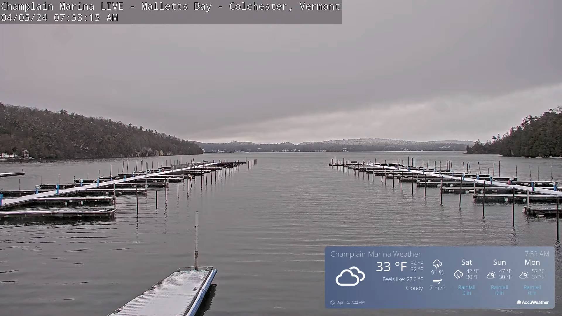
SATURDAY: Cloudy with a few breaks of sun away from the mountains late. Scattered leftover rain or wet snow showers. Little to no accumulation. A high in the upper 30s. Northwest winds 10 to 20 mph.
Looking further ahead
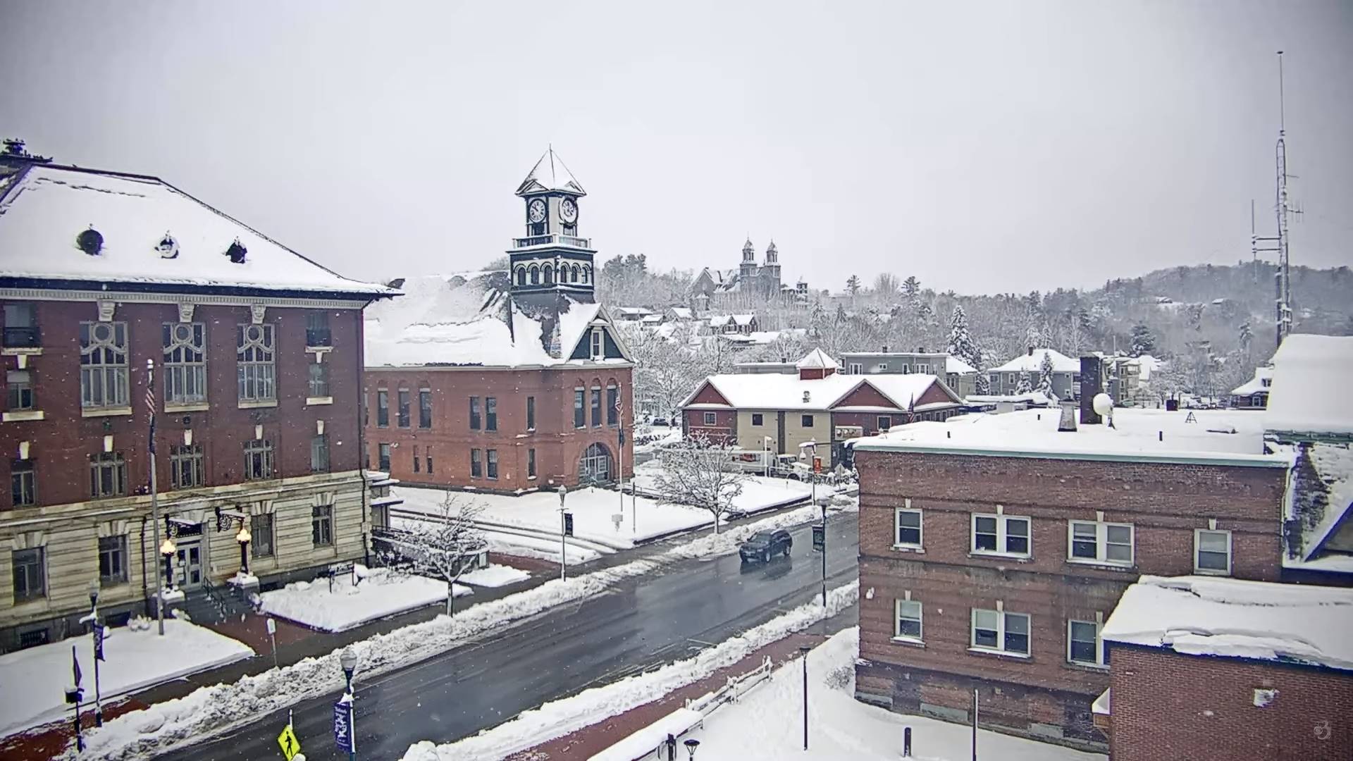
SATURDAY NIGHT: Considerable lingering cloudiness.A low mid-20s.
SUNDAY: Lots of morning clouds gradually giving way to periods of late aft4ernoon sunshine. A high in the lower 40s.
MONDAY: Mostly sunny with some late day high cloudiness. Total Solar Eclipse 3:26 PM EDT. A low 20 to 25. A high around 50.
TUESDAY: Sunshine filtered thru high clouds. A low in the mid-20s. A high around 55.
WEDNESDAY: Partly sunny more clouds late. Rising chance for a rain shower Wednesday evening. A low in the 20s. A high in the 50s.
Average lows 25 to 30. Average highs 45 to 50.
Start of meteorological summer June 6th
RH/4-5forecast][end]
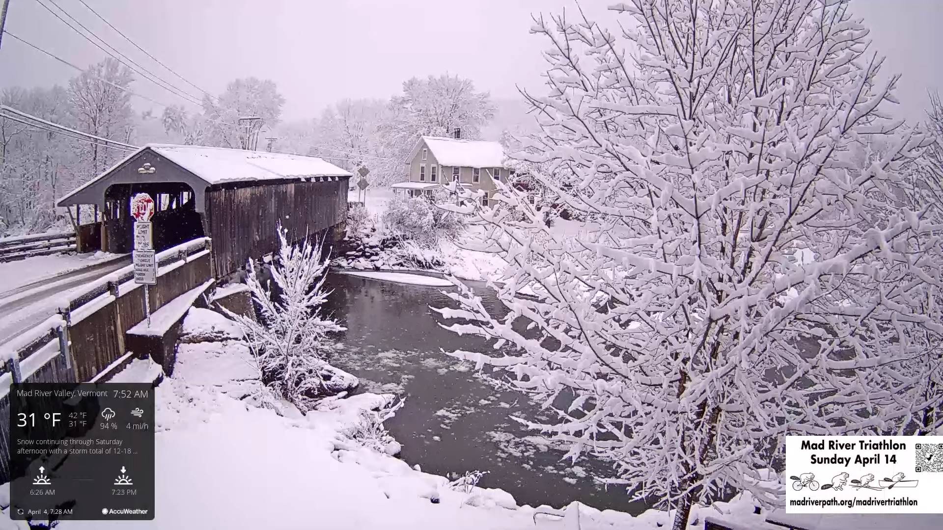
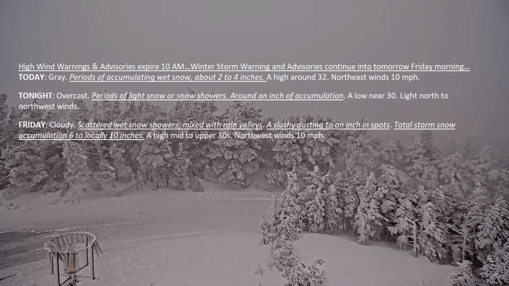
High Wind Warnings & Advisories expire 10 AM…Winter Storm Warning and Advisories continue into tomorrow Friday morning…
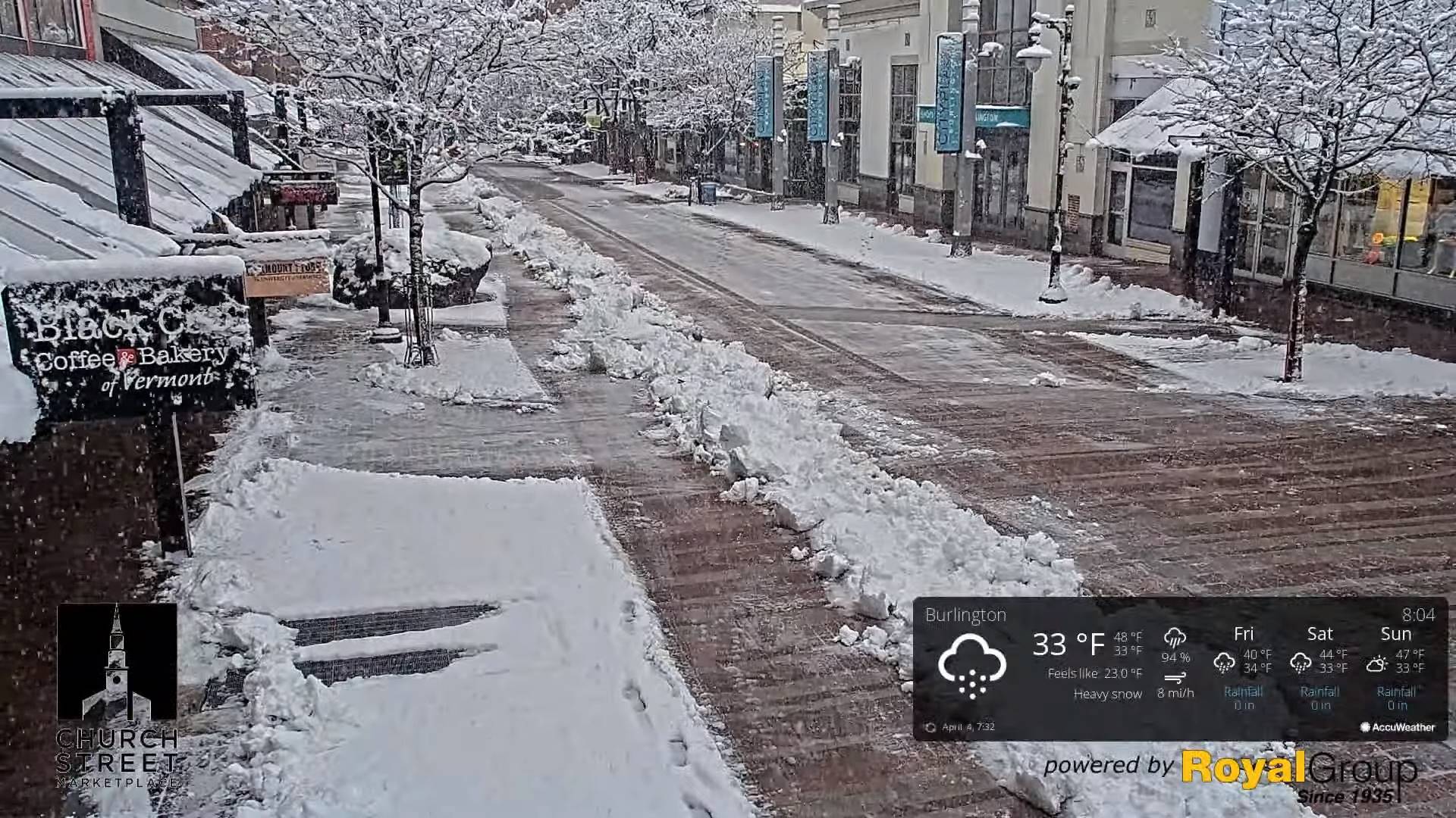
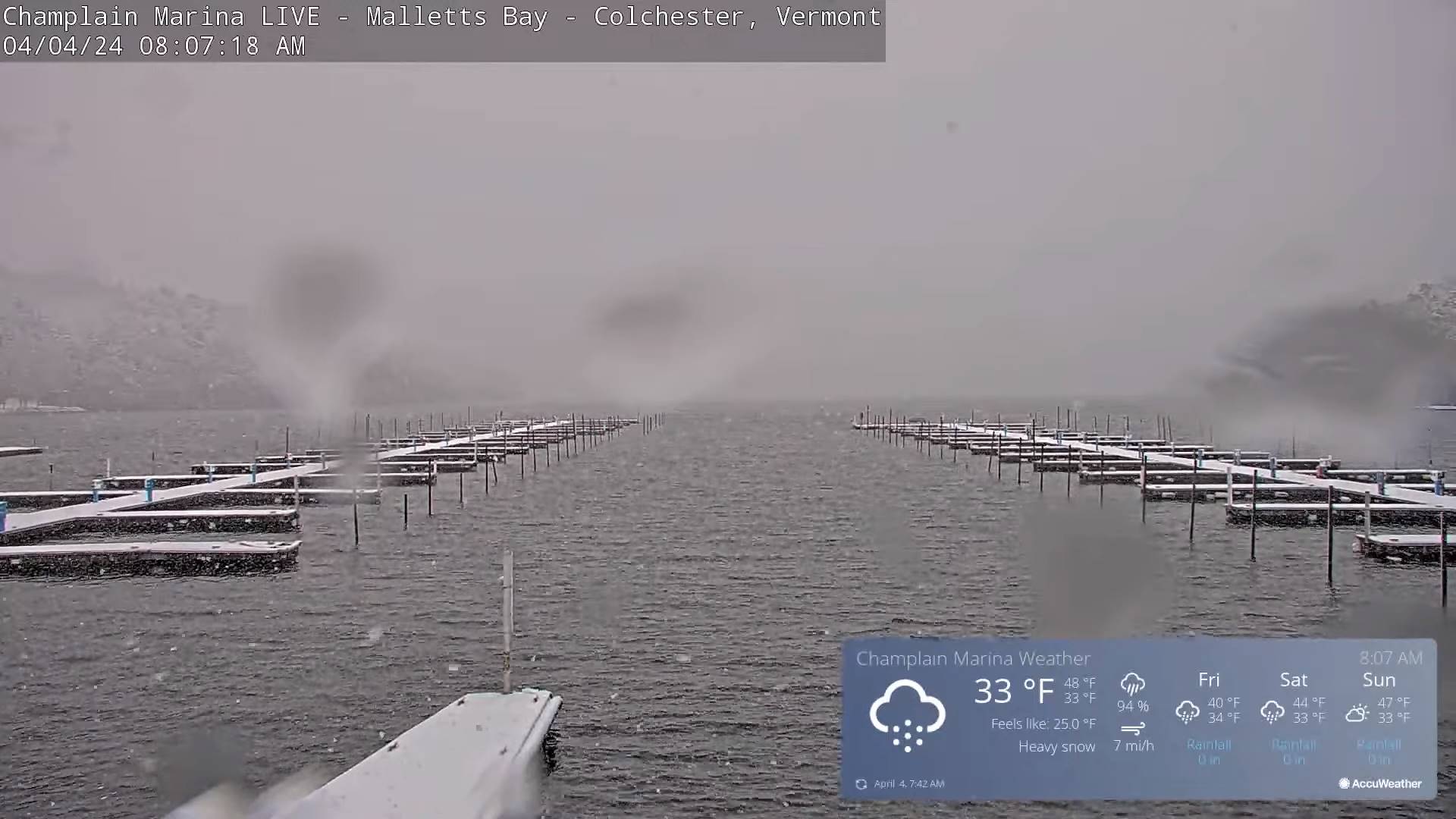
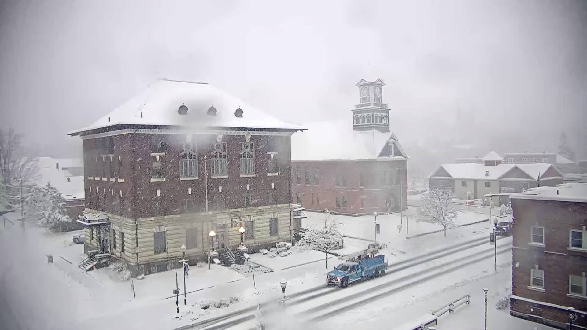
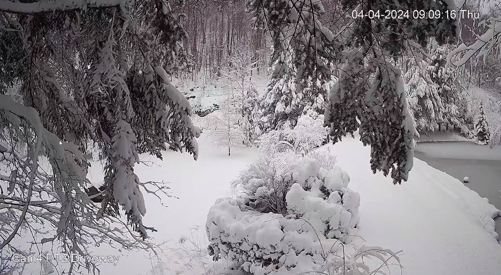
TODAY: Gray. Periods of accumulating wet snow, about 2 to 4 inches. A high around 32. Northeast winds 10 mph.
TONIGHT: Overcast. Periods of light snow or snow showers. Around an inch of accumulation. A low near 30. Light north to northwest winds.
FRIDAY: Cloudy. Scattered wet snow showers, mixed with rain valleys. A slushy dusting to an inch in spots. Total storm snow accumulation 6 to locally 10 inches. A high mid to upper 30s. Northwest winds 10 mph.
Looking further ahead
FRIDAY NIGHT: Overcast. Scattered snow showers or flurries. A dusting in spots. A low near 30.
SATURDAY: Cloudy with a few breaks of sun away from the mountains late. Scattered leftover rain or wet snow showers early exiting late morning. A high in the upper 30s.
SUNDAY: Morning clouds, giving way partial afternoon sunshine. A low in the upper 20s. A high 40 to 45.
Total Solar Eclipse 3:26 PM EDT
MONDAY: Mostly sunny with a few high clouds. A low mid to upper 20s. A high 50 to 55.
TUESDAY: Sunny. A low around 30. A high around 55.
Average lows 25 to 30. Average highs 45 to 50.
Start of meteorological summer June 6th
RH/4-4forecast][end]
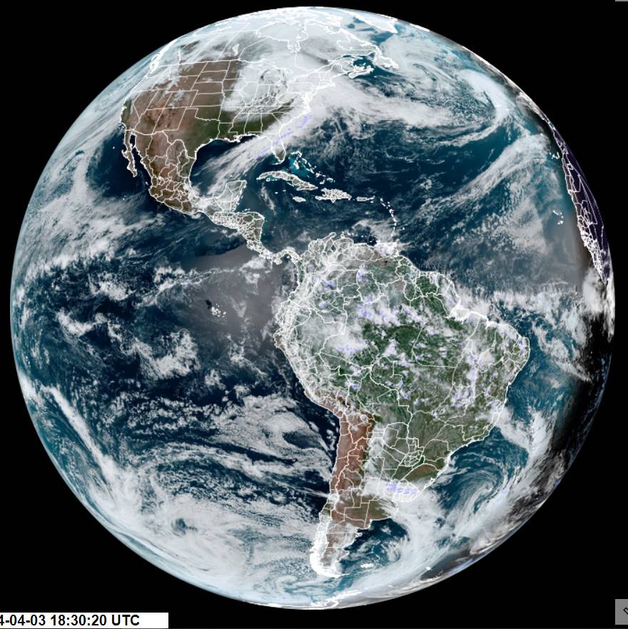
High Wind Warnings (western slopes) and Wind Advisories thru tomorrow morning…Winter Storm Warning and Advisories into early Friday…
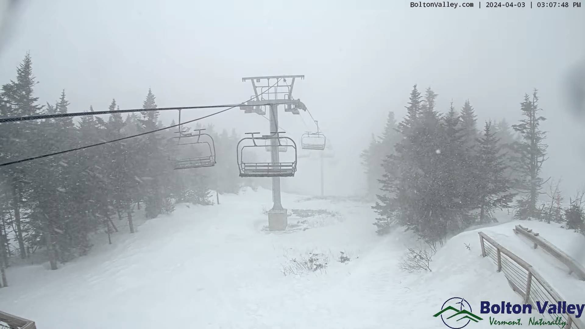
TONIGHT: Cloudy. A wintry mix this evening, transitions wet snow. Variable accumulations of around 3 to 6 inches…most Green Mountains. A low 30 to 32. Blustery to windy. East winds 10 to 20 mph, stronger western Green Mountain slopes exceeding 45 mph.
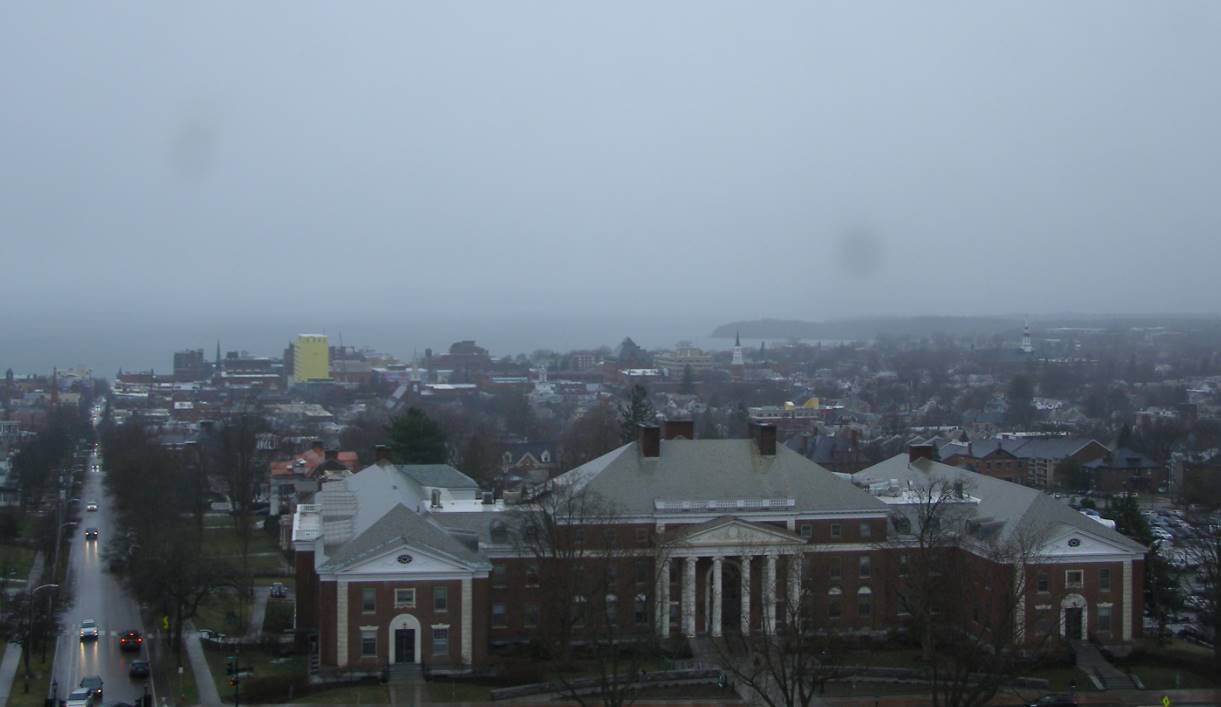
TOMORROW: Gray. Periods of accumulating wet snow, accumulation 1 to 2 inches. A high around 32. Northeast winds 10 mph.
THURSDAY NIGHT: Cloudy. Chance for periods of light snow. A dusting to 2” accumulation. A low near 30. Light north to northwest winds.
FRIDAY: Cloudy. Chance for light accumulating wet snow showers, mixed with rain valleys. Around an inch in spots. Total storm snow accumulation 6 to locally 10 inches. A high 35 to 40. Northwest winds 10 mph.
Looking further ahead
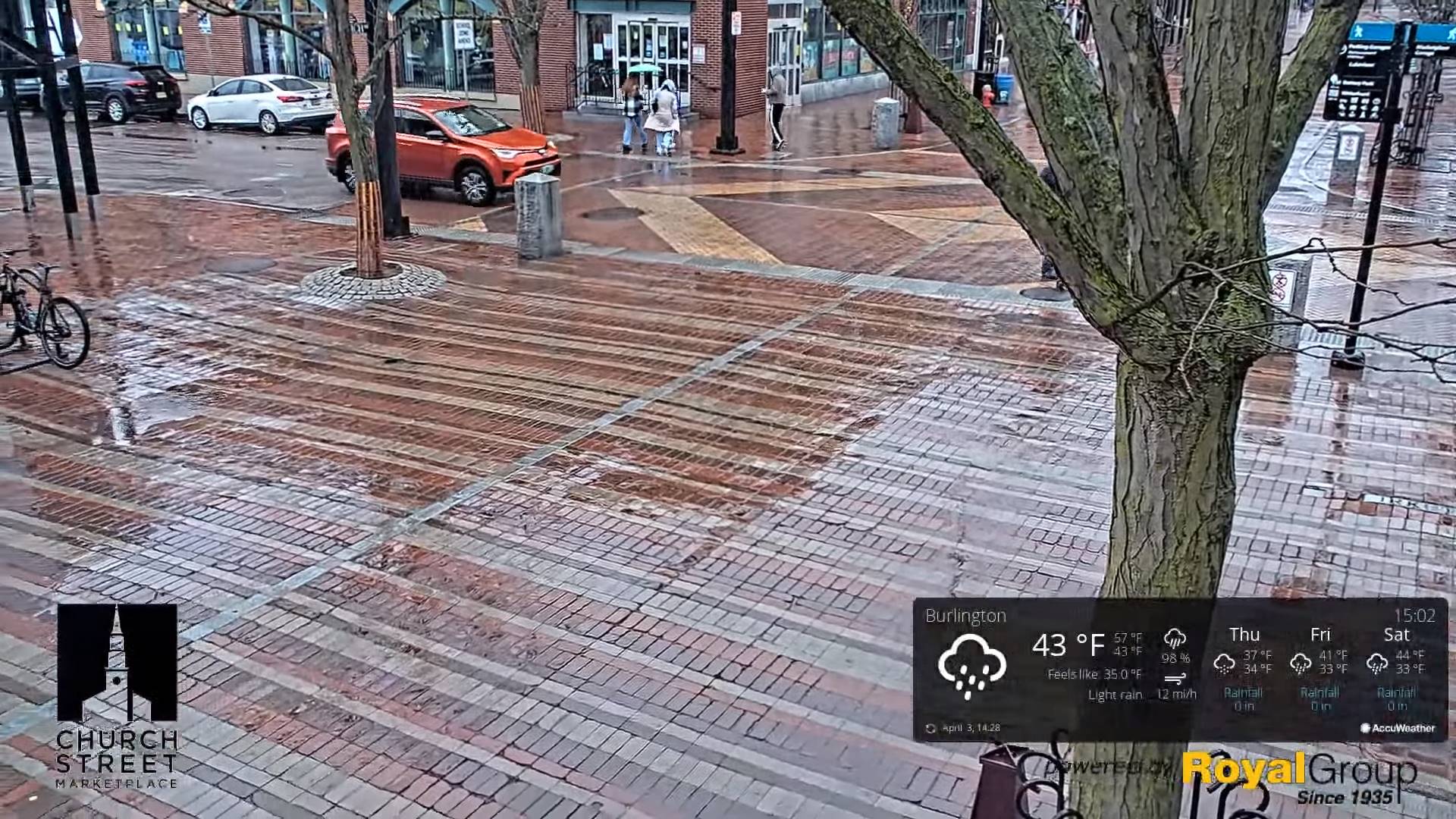
FRIDAY NIGHT: Overcast. Scattered snow showers or flurries. A dusting in spots. A low in the lower 30s.
SATURDAY: Gray. Scattered leftover rain or wet snow showers early exiting late morning. A high in the upper 30s to near 40.
SUNDAY: Morning clouds, giving way to bright sunshine and blue skies. A low in the upper 20s. A high around 45.
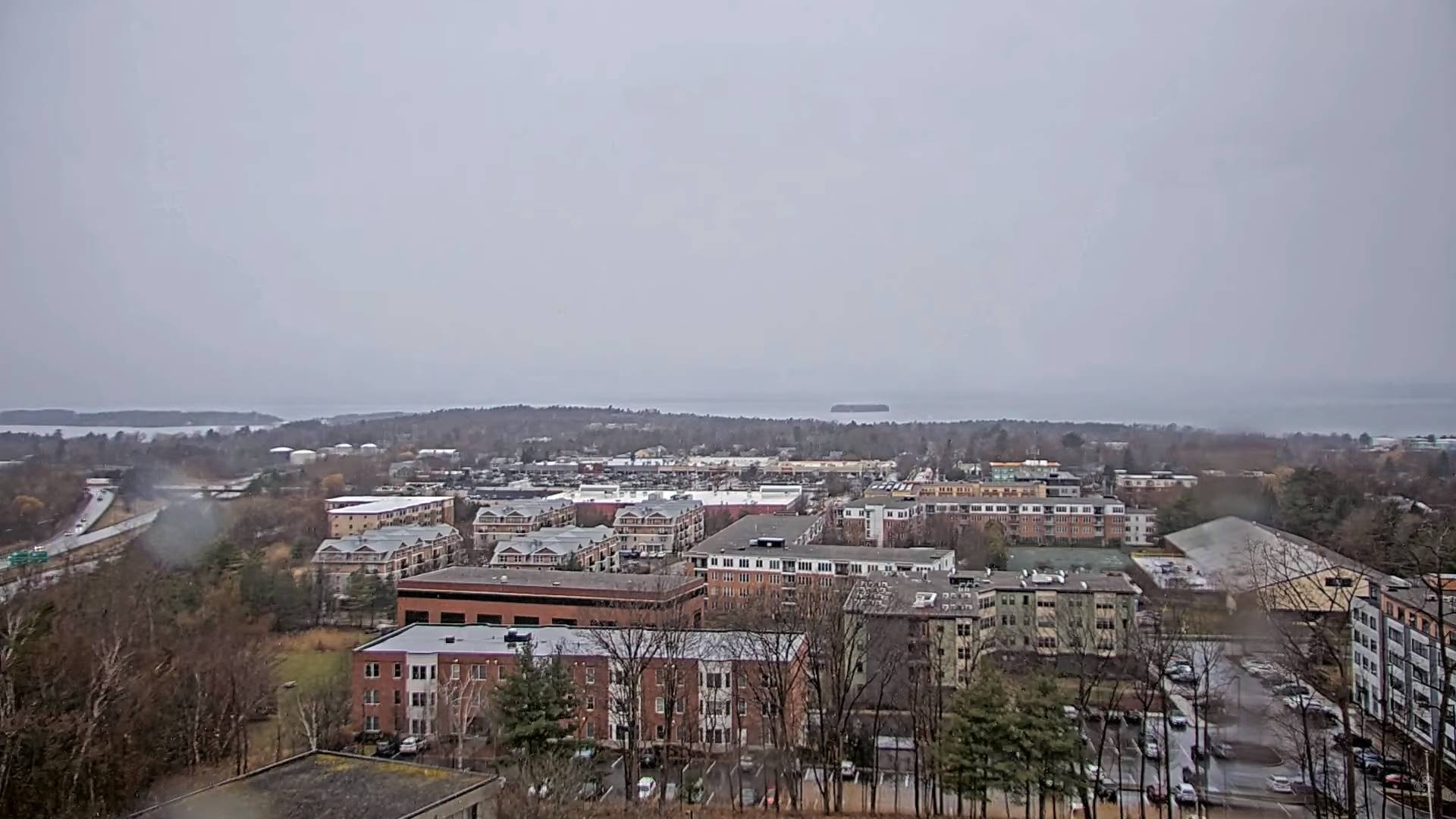
Total Solar Eclipse 3:26 PM EDT
MONDAY: Mostly sunny with a few high clouds. A low mid to upper 20s. A high near 55.
TUESDAY: Mostly sunny. A low around 30. A high 50 to 55.
Average lows 25 to 30. Average highs 45 to 50.
Start of meteorological summer June 6th
RH/4-3forecast][end]

