
High Wind Warnings & Advisories expire 10 AM…Winter Storm Warning and Advisories continue into tomorrow Friday morning…
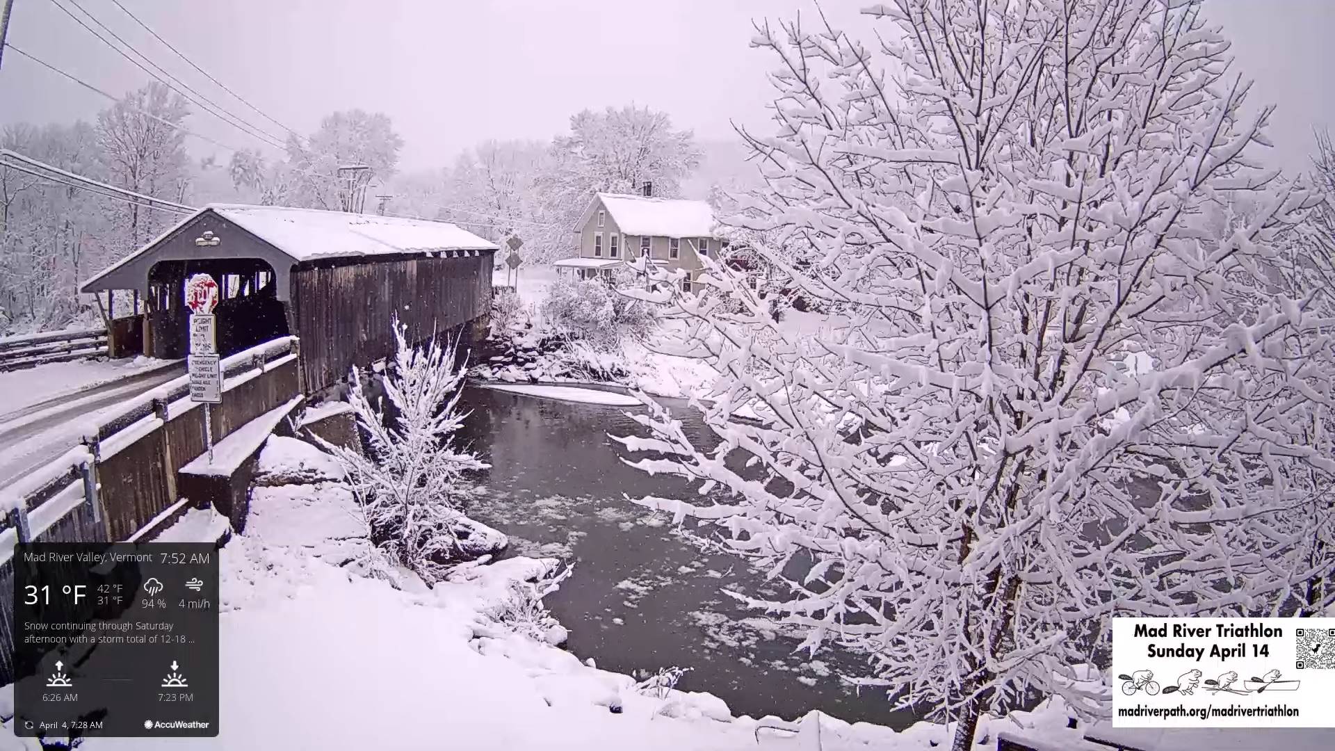
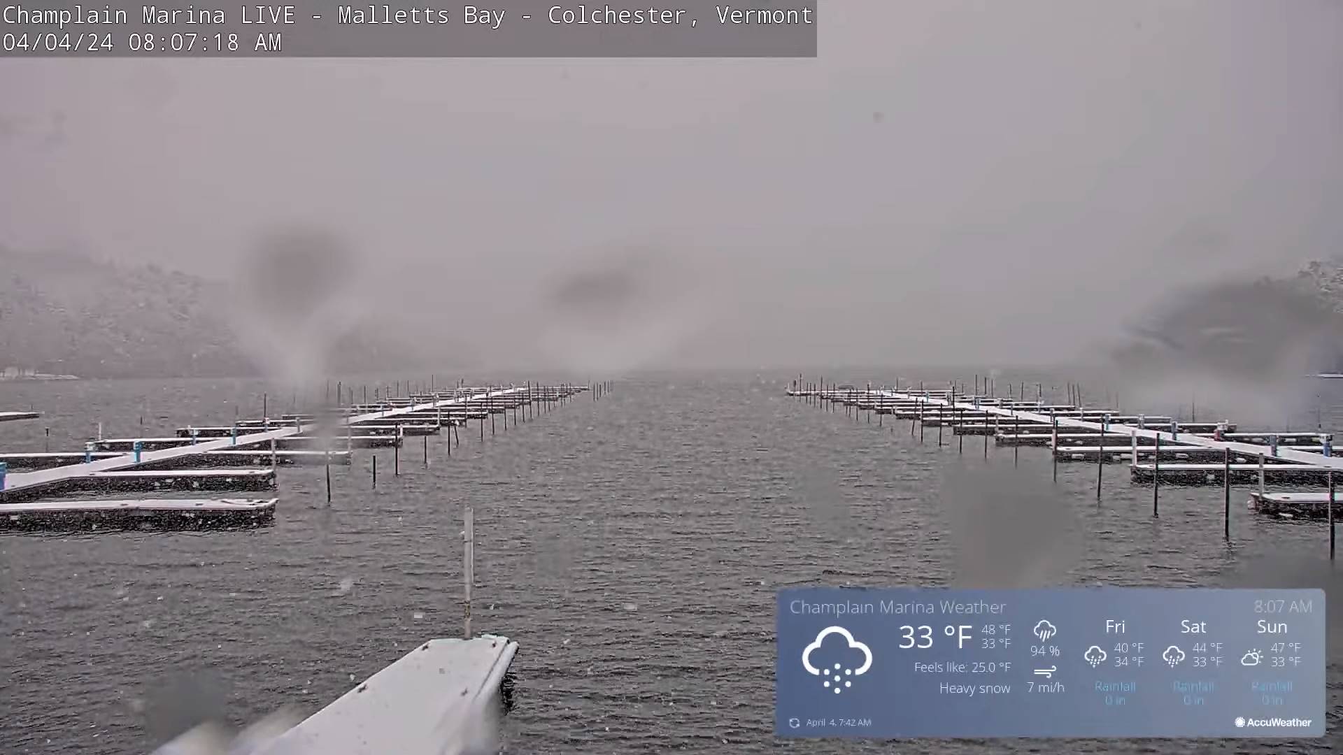
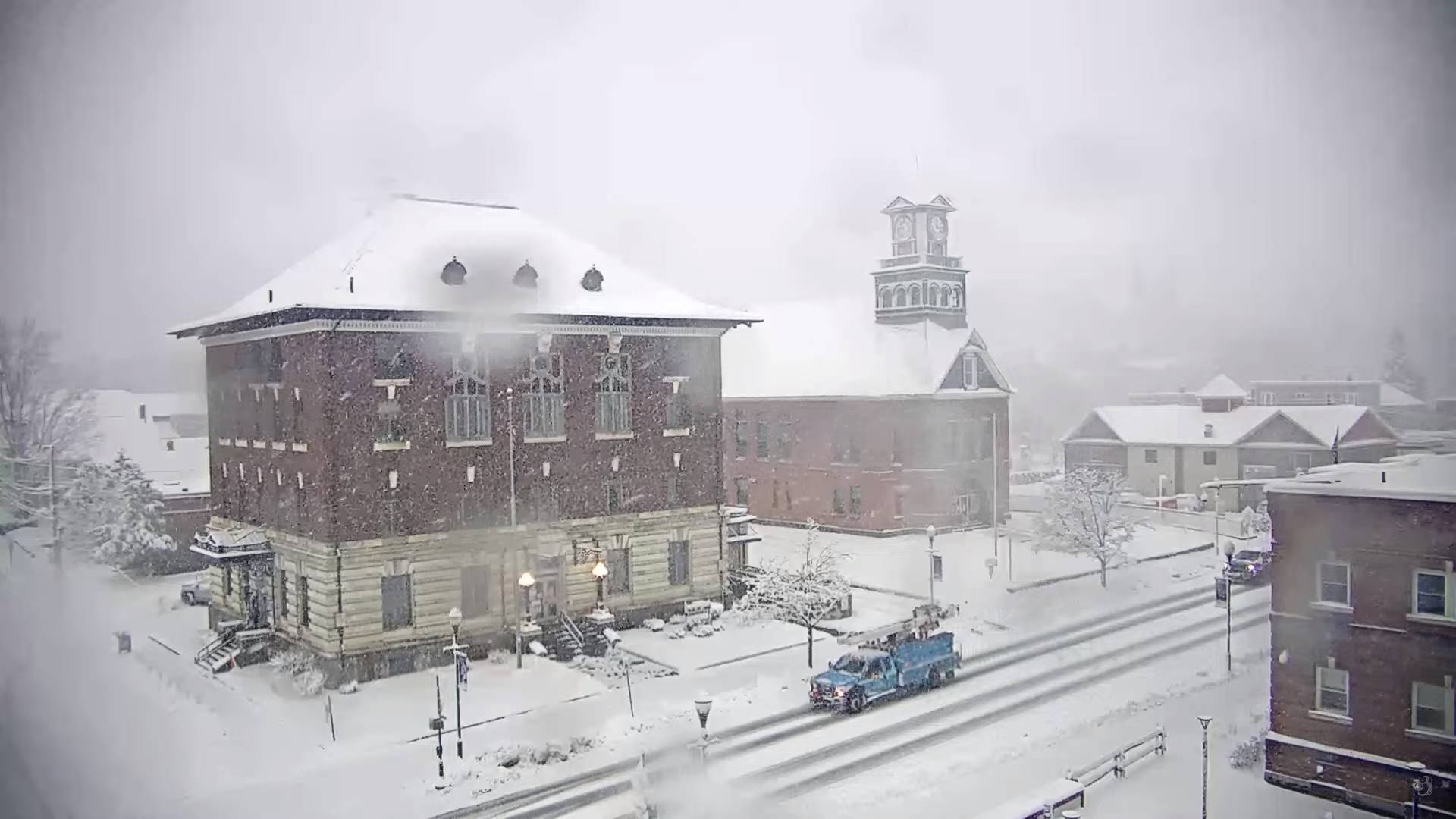
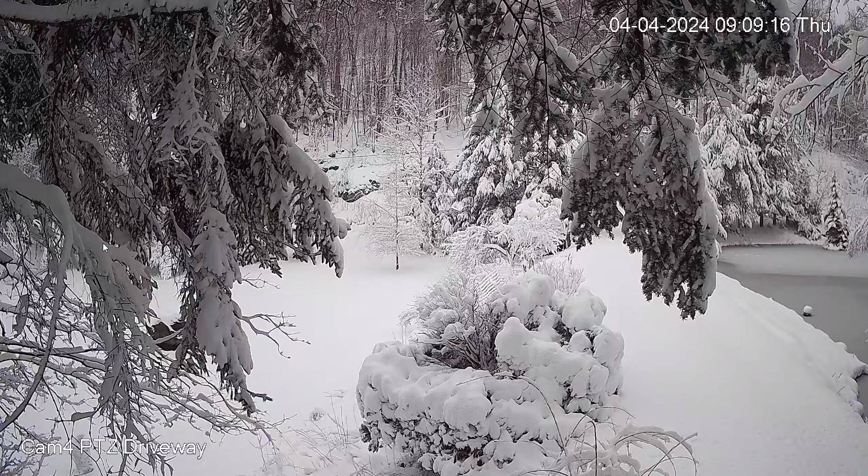
TODAY: Gray. Periods of accumulating wet snow, about 2 to 4 inches. A high around 32. Northeast winds 10 mph.
TONIGHT: Overcast. Periods of light snow or snow showers. Around an inch of accumulation. A low near 30. Light north to northwest winds.

FRIDAY: Cloudy. Scattered wet snow showers, mixed with rain valleys. A slushy dusting to an inch in spots. Total storm snow accumulation 6 to locally 10 inches. A high mid to upper 30s. Northwest winds 10 mph.
Looking further ahead
FRIDAY NIGHT: Overcast. Scattered snow showers or flurries. A dusting in spots. A low near 30.
SATURDAY: Cloudy with a few breaks of sun away from the mountains late. Scattered leftover rain or wet snow showers early exiting late morning. A high in the upper 30s.
SUNDAY: Morning clouds, giving way partial afternoon sunshine. A low in the upper 20s. A high 40 to 45.
Total Solar Eclipse 3:26 PM EDT
MONDAY: Mostly sunny with a few high clouds. A low mid to upper 20s. A high 50 to 55.
TUESDAY: Sunny. A low around 30. A high around 55.
Average lows 25 to 30. Average highs 45 to 50.
Start of meteorological summer June 6th
RH/4-4forecast][end]
