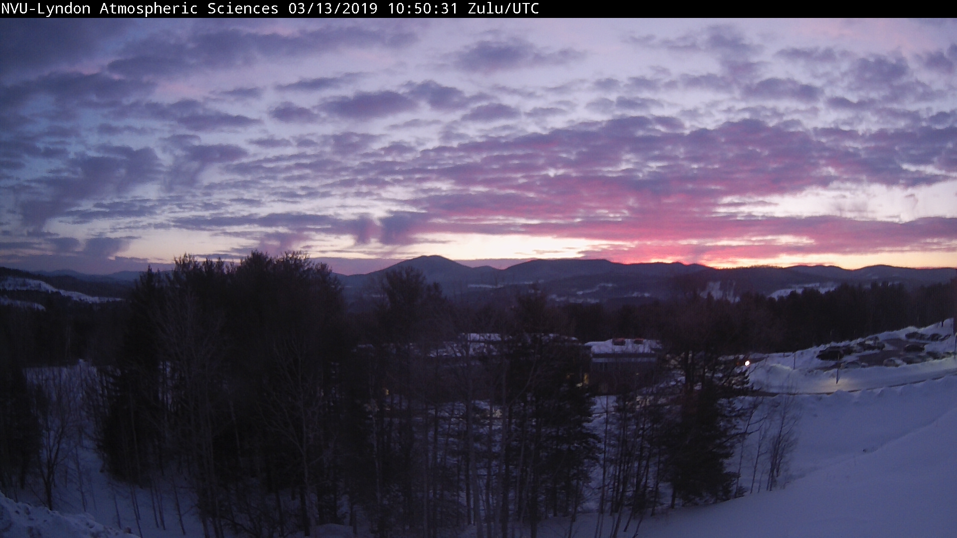
TONIGHT: Fair this evening, then mainly cloudy. A rising chance for light rain showers after midnight. Becoming breezy. A low mid 30s to lower 40s. South to southeast breeze 10 to 20 mph.
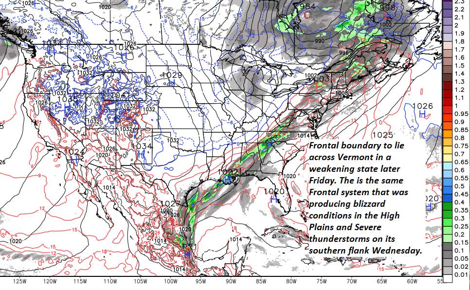
Flood Watch Friday into Saturday evening…
TOMORROW: Occasional rain showers…drying up in the afternoon. Otherwise clouds mixing with intervals of sun. Well above normal in temperature with lots of snow melt. A high 55 to 60. Sap run likely. South to southwest winds picking up 10 to 20 mph.
FRIDAY NIGHT: Partly to mostly cloudy. Scattered light rain showers mixing with wet snow flakes late. A low 32 to 35. Light southwest winds.
SATURDAY: Considerable clouds and blustery. Chance for mountain snow showers and valley flurries. Minor accumulation. A high mid 30s. West winds 10 to 25 mph.
Looking further ahead…
SATURDAY NIGHT: Partly to mostly cloudy. A low in the teens.
SUNDAY: Partly sunny. A high in the mid to upper 20s.
MONDAY: Mostly sunny but cold. A low in the single digits. A high upper 20s to low 30s.
TUESDAY: Sunny. A low 5 below to 10 above. A high in the mid to upper 20s.
Vernal Equinox 12:15 PM
WEDNESDAY: Sunshine mixing with high cloudiness. A low 5 below to 10 above. A high around 40 possible sap run.
Average lows in the mid-teens to low 20s. Average highs in the mid 30s to low 40s.
RH/3-14-19[end]