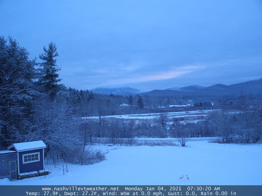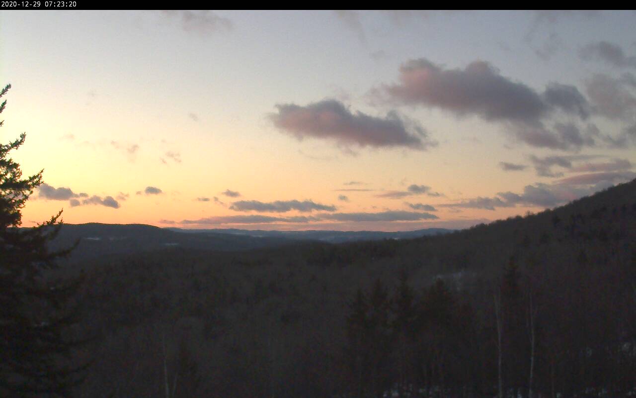
TONIGHT: Clouding up. A few stray flurries overnight with a dusting in spots. A low 20 to 25. Light north winds.
TOMORROW: Lots of clouds. Maybe a couple breaks of sun. A high in the low 30s. Light north winds.
TUESDAY NIGHT: Lots of clouds. Chance for a few flurries. A low 20 to 25. Light northwest winds.
WEDNESDAY: Considerable cloudiness. A few stray morning flurries. Breaks of sun in the afternoon. A high 25 to 30. Light northwest winds.
Looking further ahead…
WEDNESDAY NIGHT: Becoming partly cloudy. A low in the teens.
THURSDAY: Pick of the week. More sun than clouds. A high around 25.
FRIDAY: Mixed sun and clouds. Cold. A morning low in the single digits above zero. A high in the low to mid 20s.
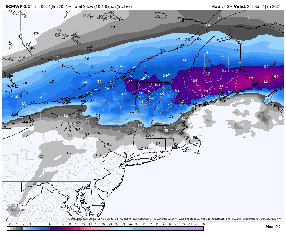
SATURDAY: Variably cloudy. Chance for a snow shower or flurry northern areas. A low in the teens. A high around 25.
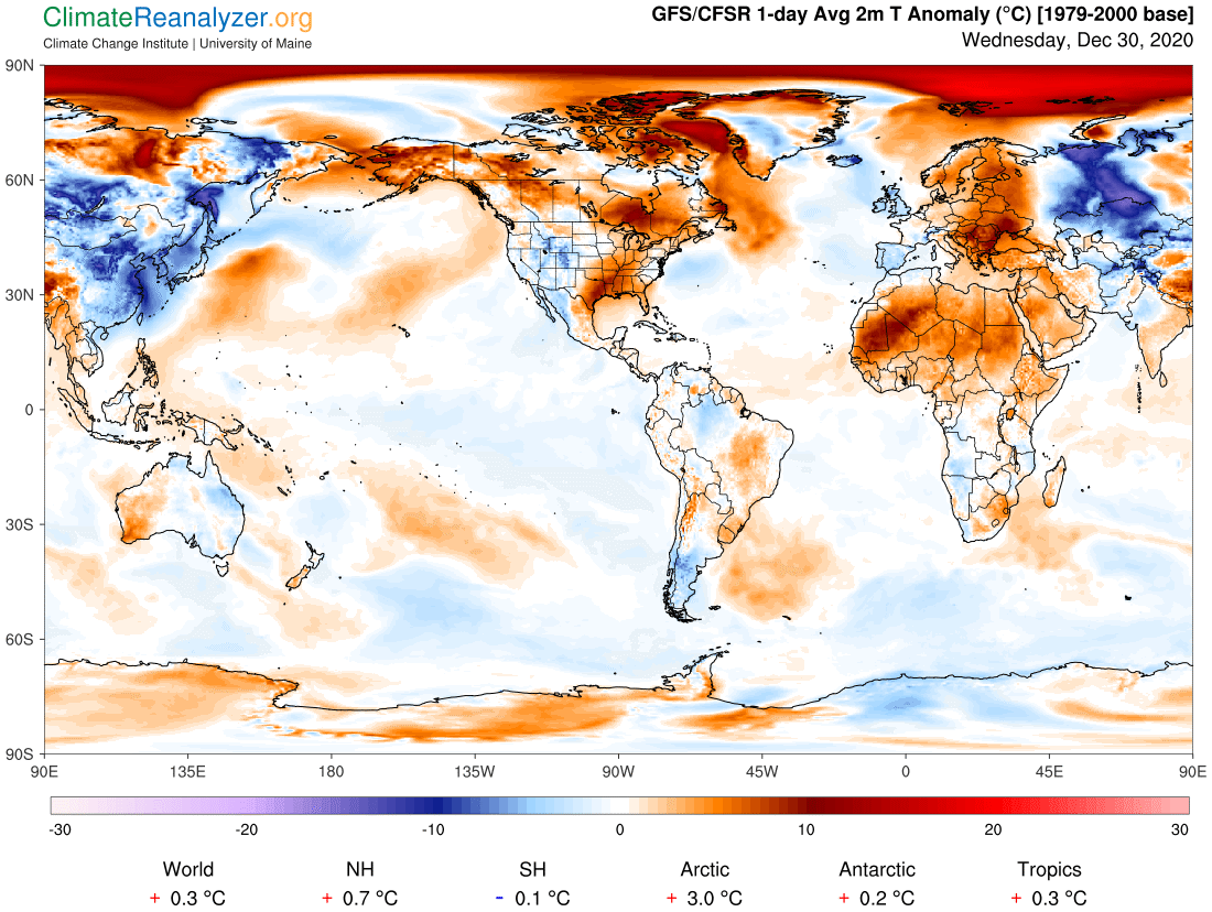
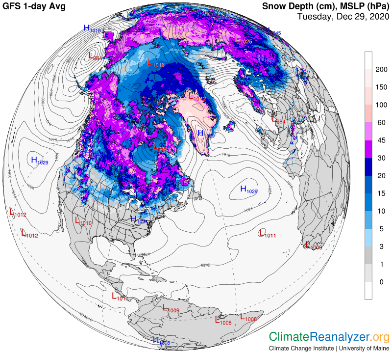
Average low ranging thru the single digits to low teens, Average highs in the 20s to near 30.
Peak of Winter (coldest averages) January 23rd. End of Winter March 9th… based off local climatology.
RH/1-4 category forecast][end]