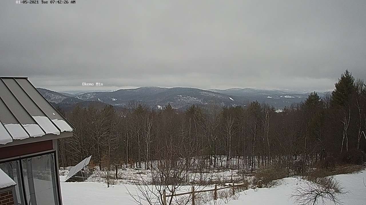
TONIGHT: Lots of clouds. Widely scattered flurries mainly northern areas. Some minor accumulation. A low upper teens to low 20s. Light south winds.
TOMORROW: Chance for flurries northern areas with light coating in spots in the morning, exiting in the afternoon. Otherwise mainly cloudy. A high around 32. Winds becoming west to northwest 10 mph.
TUESDAY NIGHT: Isolated flurries central and southern areas. Otherwise lots of clouds. A low ranging thru the teens. Light south winds.
Approximate Peak of Meteorological winter…
WEDNESDAY: Clouds with a few breaks of sun. A high around 32 degrees. Southwest winds 10 mph.
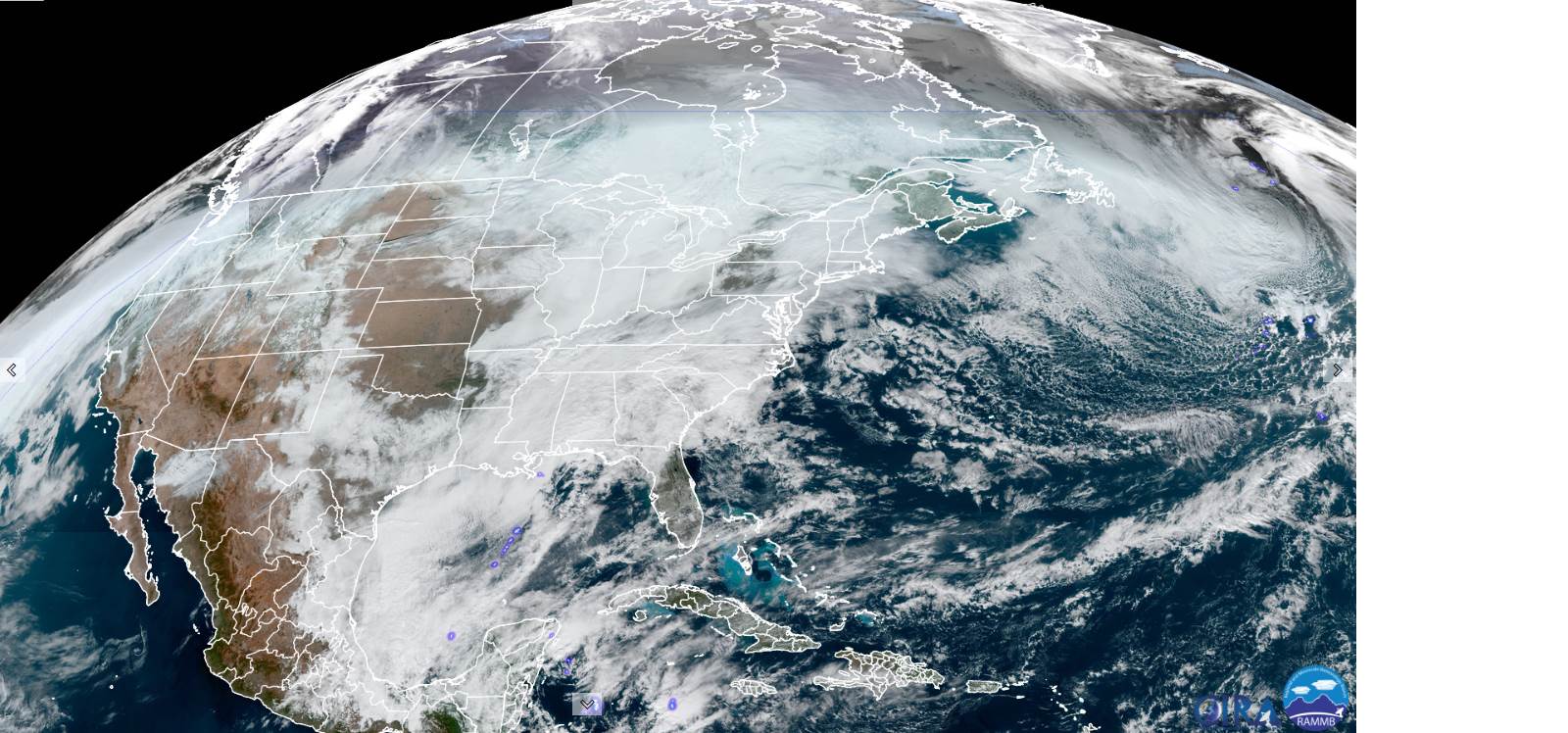
Looking further ahead…
WEDNESDAY NIGHT: Mostly cloudy. A low in the mid-teens to around 20.
THURSDAY: Mainly cloudy. Chance for flurries mixed with sprinkles valley floors. A high mid-30s.
FRIDAY: Morning clouds, give way to periods filtered sunshine. Milder. A low ranging thru the 20s. A high pushing to around 40.
SATURDAY: Gray. Scattered mixed rain & wet snow showers. Temperatures holding in the low to mid 30s.
Average low ranging thru the single digits to low teens, Average highs in the 20s.
Peak of Winter (coldest averages) January 23rd. End of Winter March 9th… based off local climatology.
RH/1-11 category forecast][end]