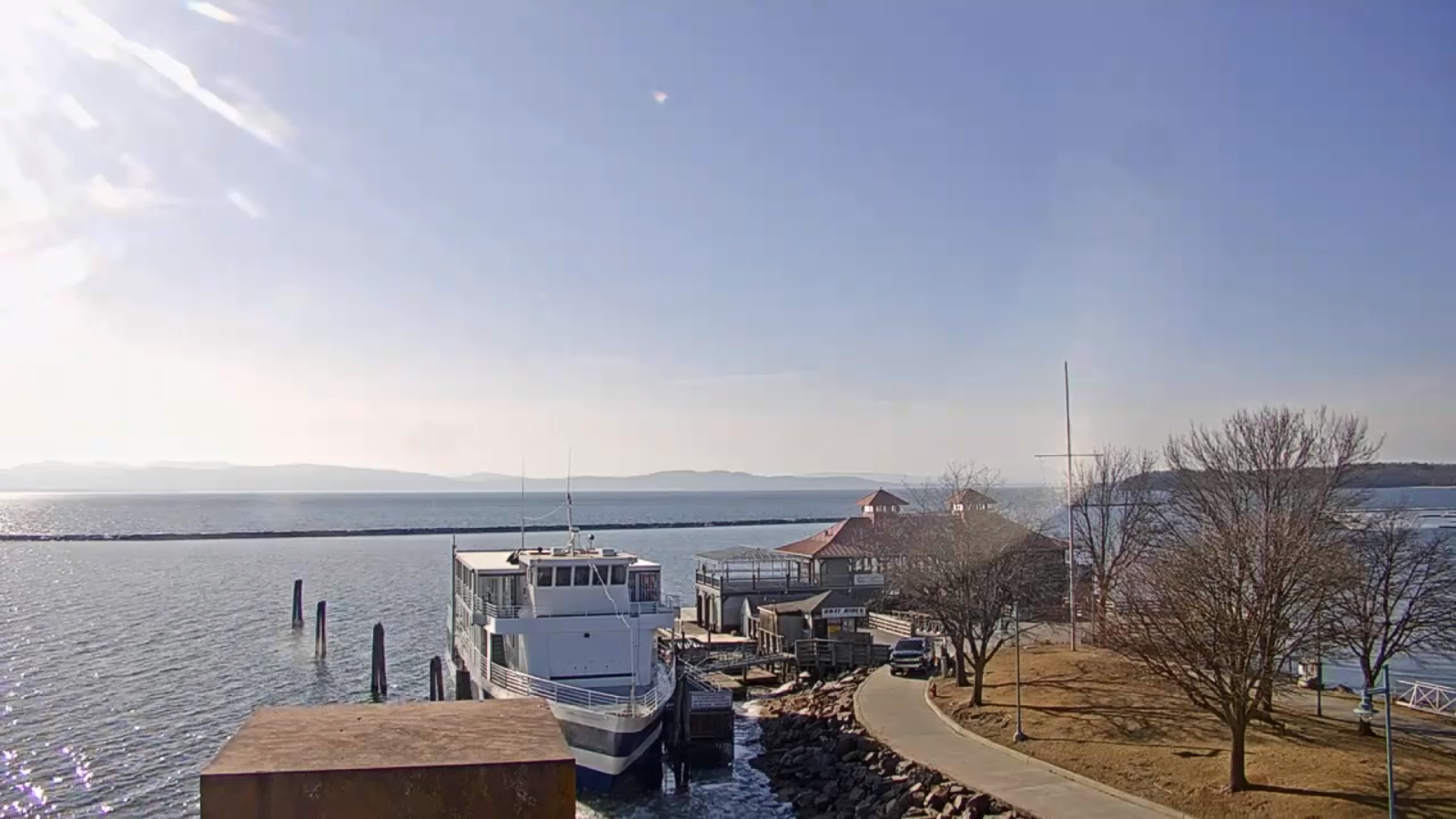
TODAY: Sunny, and still blustery at times. Below normal temperatures. A high near 30. North to northwest winds 10 to 20 mph and gusty this morning.
TONIGHT: Clear & starlit skies. A low 10 to 15. Little wind.
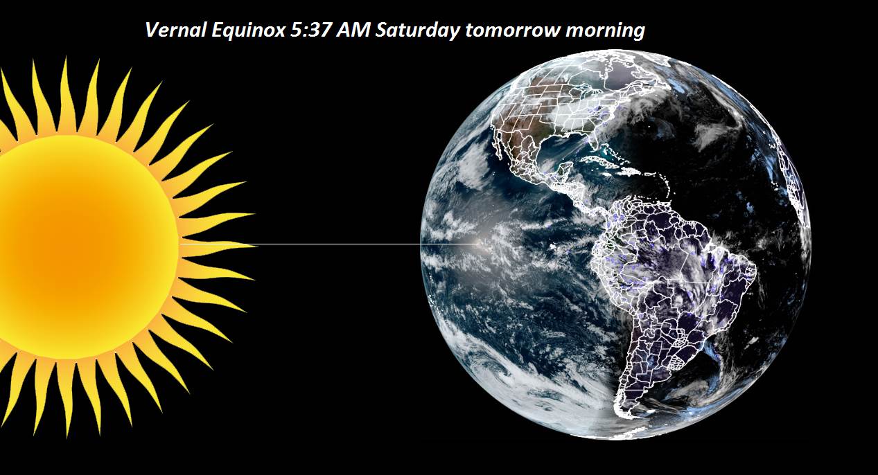
Vernal Equinox 5:37 AM Saturday…
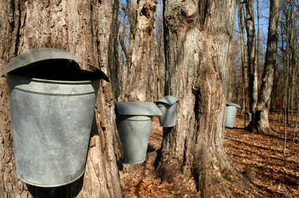
SATURDAY: Mostly sunny. A high mid to upper 40s. (Sap run) West breeze 10 mph.
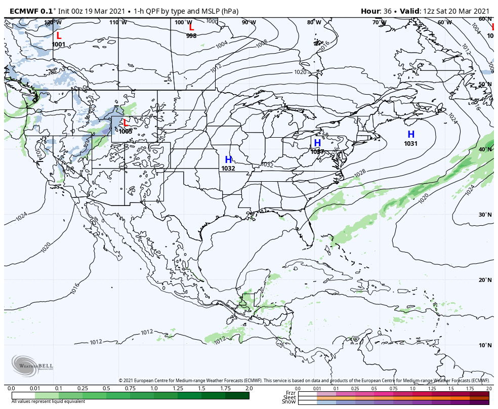
Looking further ahead…
SATURDAY NIGHT: Clear and starlit. A low 20 to 25.
SUNDAY: Sunny and well above normal in temperature. A high in the mid-50s. (Sap run)
MONDAY: Lots of sunshine. A low around 25. A high near 60.
TUESDAY: Lots of sunshine. A low around 25. A high around 60.
WEDNESDAY: Filtered sunshine through high cloudiness. A low 25 to 30. A high in the lower 60s.
Average low upper-teens to upper-20s Average highs 40 to 45.
Start of Meteorological Summer June 6th… Summer peaks approx.. July 22nd based off local climatology.
RH/3-19 category forecast][end]