Updated Friday Morning Forecast — April 23rd, 2021

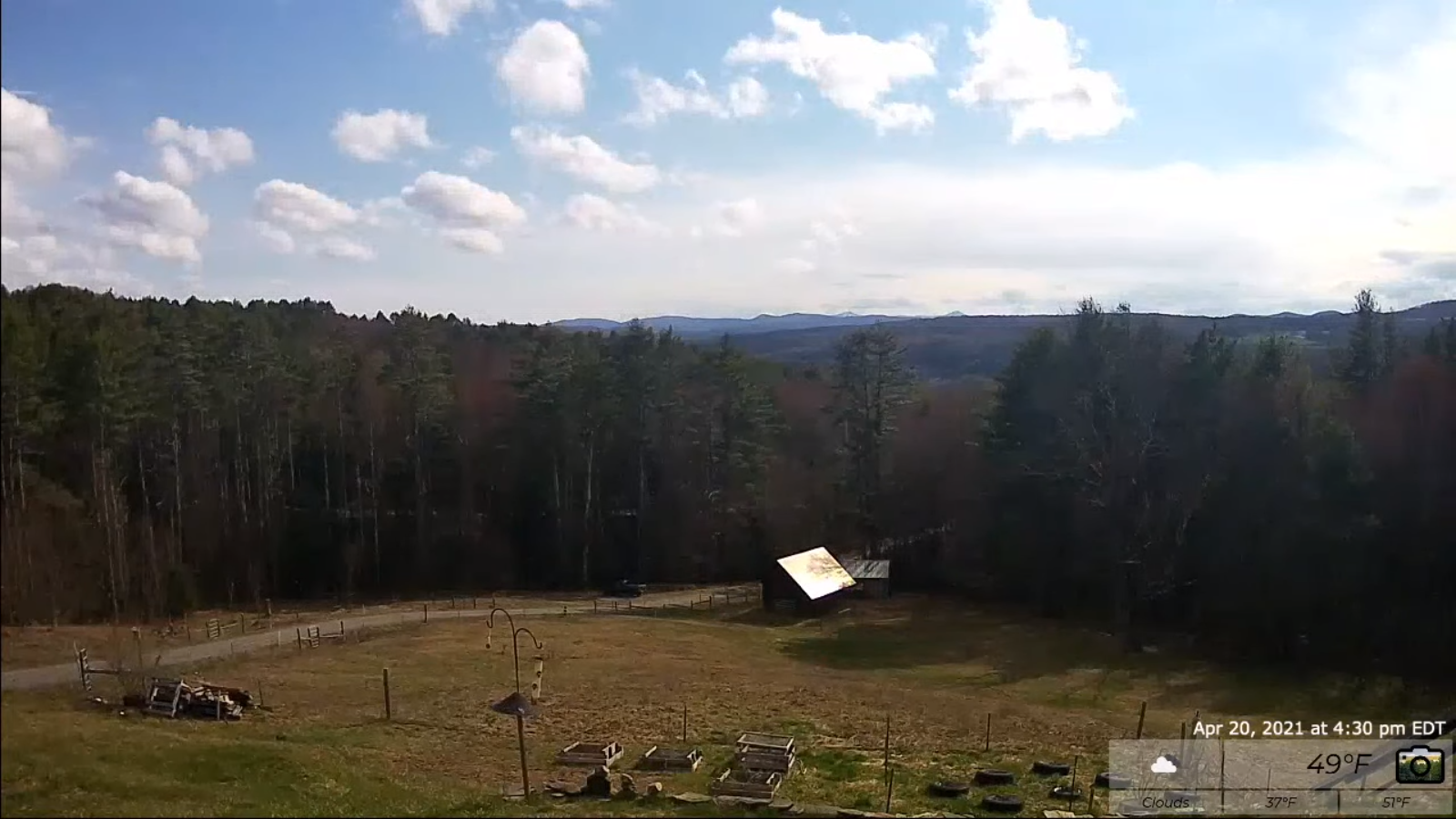
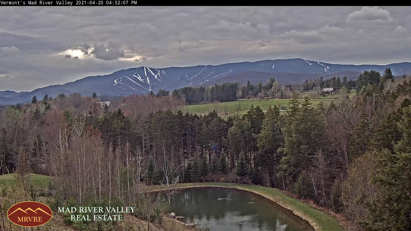
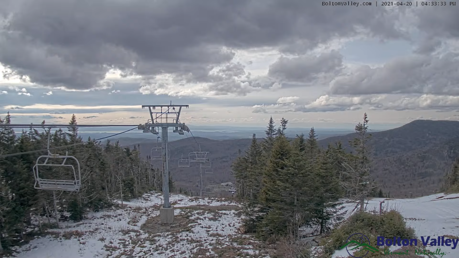
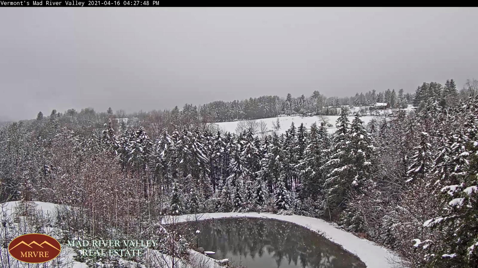
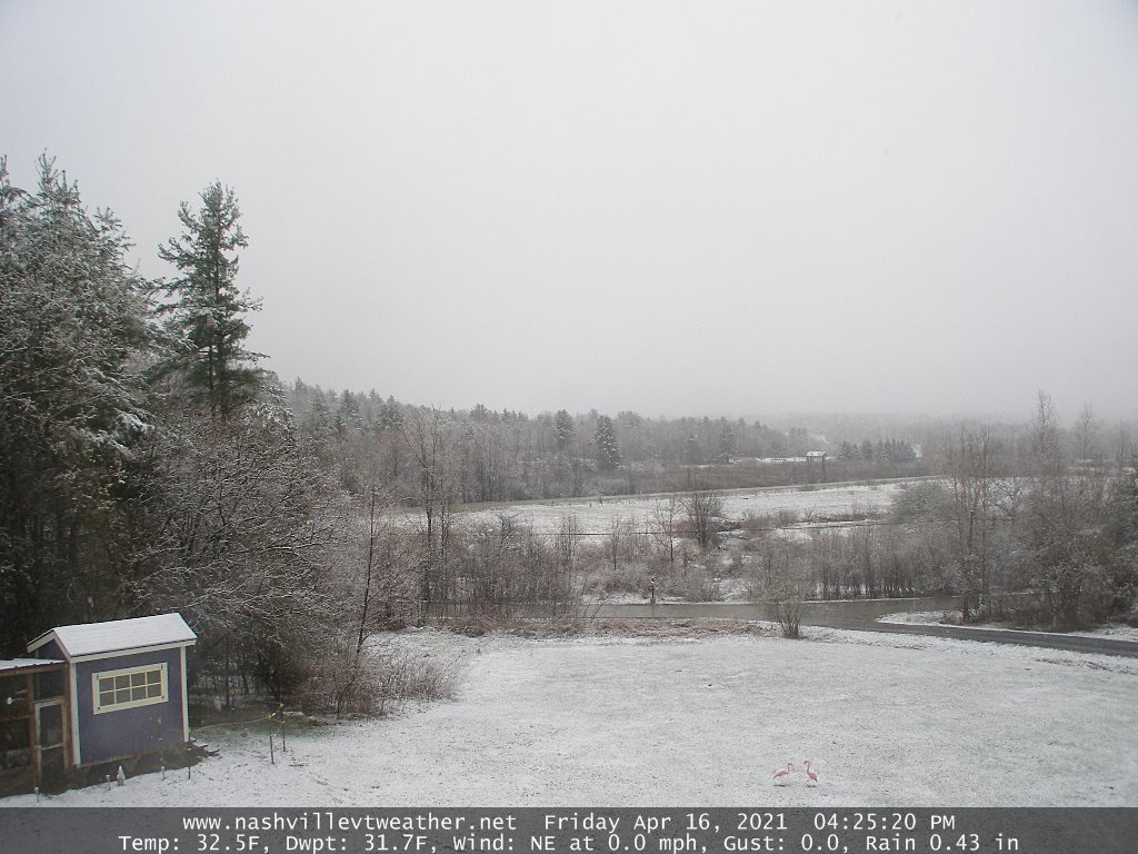
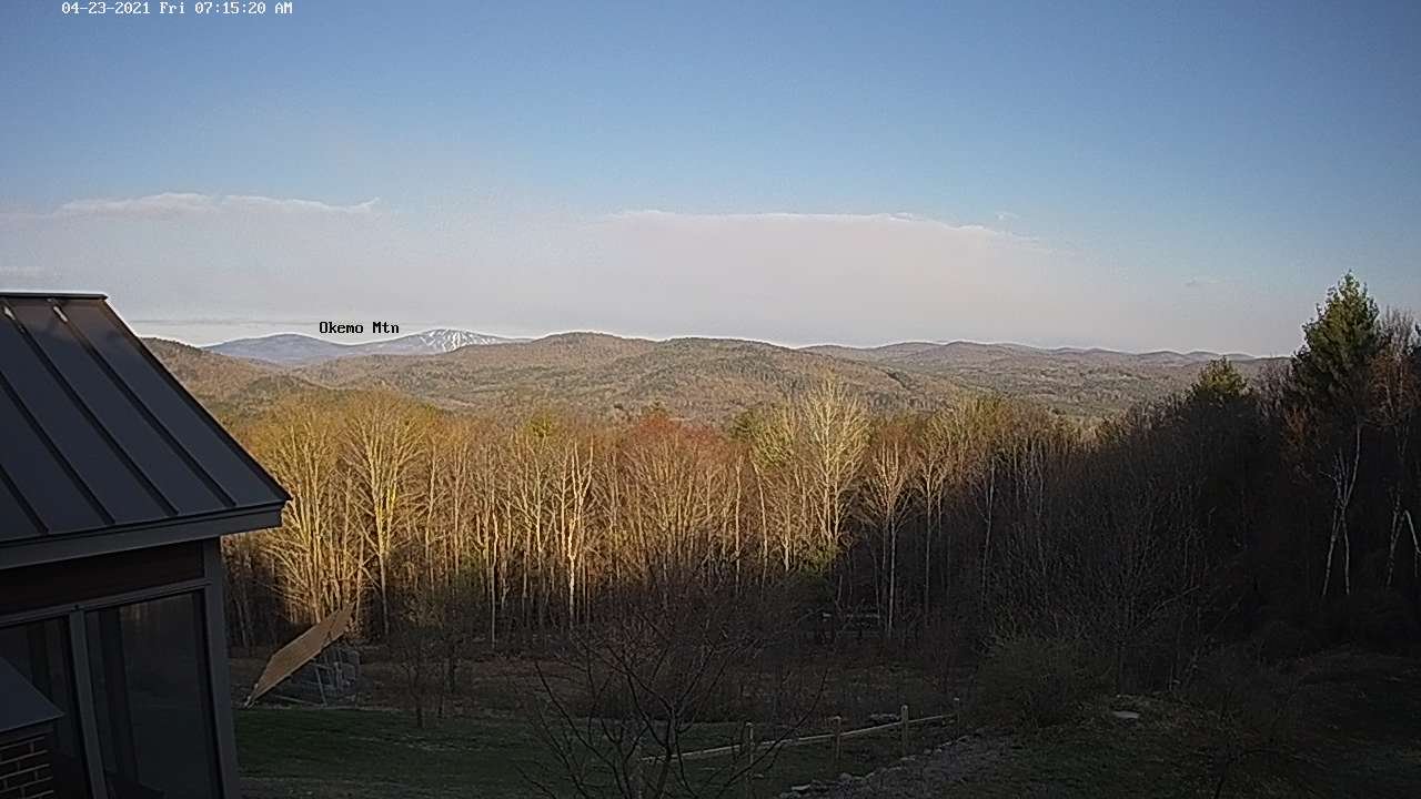
TODAY: Clouds mixing with sunshine. Blustery at times. A high upper 40s to near 50. Northwest winds flare up 10 to 20 mph late morning into the afternoon.

TONIGHT: Mostly clear & partially moonlit. A low around 32. Light southwest winds.

SATURDAY: Mixed sun & clouds with more clouds late. A high near 60. Northwest winds 10 mph.

Looking further ahead…

SATURDAY NIGHT: Cloudy. A rising chance for rain later overnight. A low around 40.

SUNDAY: Cloudy. Good chance for rain showers. A high around 50.

MONDAY: Maybe a morning sprinkle early, otherwise partly to mostly sunny. A low around 30. A high near 50.

Full Pink Moon late Monday night 11:32 PM.

TUESDAY: Partly sunny. A low around 32. A high 60 to 65.

WEDNESDAY: Morning sun then afternoon clouds. Scattered afternoon showers…maybe a thunderstorm. A low in the low to mid 40s. A high around 75.

Average low in the 30s. Average highs mid-50s to around 60.

Start of Meteorological Summer June 6th… Summer peaks approx.. July 22nd based off local climatology.

RH/4-23category forecast][end]

Updated Thursday Evening Forecast — April 22nd, 2021

TONIGHT: Scattered mountain snow showers and valley flurries for a time early this evening. Gradual clearing overnight. A low 25 to 30. West winds 10 to 15 mph.

TOMORROW: Morning sunshine, then more clouds than sun for the afternoon. A high upper 40s to near 50. Northwest winds flare up 10 to 20 mph late morning into the afternoon.

FRIDAY NIGHT: Mostly clear & partially moonlit. A low around 32. Light southwest winds.

SATURDAY: Mixed sun & clouds becoming cloudy late. A high near 60. Northwest winds 10 mph.

Looking further ahead…

SATURDAY NIGHT: Cloudy. A rising chance for rain later overnight. A low around 40.

SUNDAY: Cloudy. Chance for rain…moderate at times. A high around 50.

MONDAY: Chance for rain showers…mixed with wet snow higher terrain exiting in the morning. Some intervals of sun developing in the afternoon. A low around 30. A high 45 to 50.

Full Pink Moon late Monday night 11:32 PM.

TUESDAY: Partly sunny. A low around 32. A high near 60.

Average low in the 30s. Average highs mid-50s to around 60.

Start of Meteorological Summer June 6th… Summer peaks approx.. July 22nd based off local climatology.

RH/4-22category forecast][end]

Updated Thursday morning Forecast — April 22nd, 2021

TODAY: Clouds with breaks of sun developing away from the mountains especially this afternoon. Colder & blustery with frequent mountain snow showers and valley flurries. Dusting to around an inch possibly more northern Greens. A high around 35. Gusty northwest winds picking up 10 to 25 mph with higher gusts producing blowing and drifting and brief white-outs.

TONIGHT: Partial clearing this evening becoming mostly clear overnight. A low 25 to 30. West winds 10 to 15 mph.

FRIDAY: Morning sunshine then partly to mostly cloudy in the afternoon. A high upper 40s to near 50. Northwest winds flare up 10 to 20 mph.

Looking further ahead…

FRIDAY NIGHT: Mostly clear & partially moonlit. A low around 30.

SATURDAY: Some morning cloudiness, then mostly sunny before more clouds push in again. A high around 60

SUNDAY: Cloudy. Chance for rain…moderate at times. A low around 40. A high around 50.

MONDAY: Chance for rain showers…mixed with wet snow higher terrain exiting in the morning. Some intervals of sun developing in the afternoon. A low around 30. A high in the upper 40s.

TUESDAY: Partly sunny. A low around 32. A high near 60.

Average low in the 30s. Average highs mid-50s to around 60.

Start of Meteorological Summer June 6th… Summer peaks approx.. July 22nd based off local climatology.

RH/4-21category forecast][end]

Updated Wednesday Evening Forecast — April 21, 2021

Winter Weather Advisory Northern Green Mountains into the Northeast Kingdom through 8 AM Tomorrow

TONIGHT: Periods of snow tapering to scattered mountain snow showers and valley flurries overnight. Accumulation dusting lower valleys to locally 3” northern Greens and Northeast Kingdom. Otherwise overcast. A low in the mid-20s. Northwest 10 mph.

TOMORROW: Mostly cloudy, colder & blustery. Occasional mountain snow showers and valley flurries. Minor additional accumulation… up 2”northern Greens. A high around 35. Gusty northwest winds picking up 10 to 25 mph with higher gusts.

THURSDAY NIGHT: Evening clouds then clearing. A low in the mid to upper 20s. West winds 10 to 15 mph.

FRIDAY: Morning sunshine then mostly cloudy northern areas in the afternoon. A high around 45. Northwest winds flare up 10 to 20 mph.

Looking further ahead…

FRIDAY NIGHT: Mostly clear partially moonlit. A low near 30.

SATURDAY: Partly to mostly sunny. A high upper 50s to near 60.

SUNDAY: Cloudy. Chance for rain…moderate at times. A low around 40. A high in the upper 40s.

MONDAY: Gray. Chance for periods of accumulating snow…moderate at times tapering to scattered rain or snow showers. A low 30 to 32. A high in the 40s.

Average low in the 30s. Average highs mid-50s to around 60.

Start of Meteorological Summer June 6th… Summer peaks approx.. July 22nd based off local climatology.

RH/4-21category forecast][end]

Updated Wednesday morning Forecast — April 21st, 2021

Winter Weather Advisory Northern Green Mountains and into the Northeast Kingdom through 8 AM Thursday…

TODAY: Gray. Periods of rain central and southern Vermont…with periods of wet snow northern areas eventually transitioning to all wet snow, accumulation ranging from inch southern valleys to 4”in the northern Green Mountains portions of the far northern Champlain Valley. A high 35 to 40 northern areas and in the 40s to low 50s southern areas. Light northeast winds becoming northwesterly 10 to 20 mph late.

TONIGHT: Periods of snow tapering to scattered mountain snow showers and valley flurries overnight. Accumulation dusting to 2” especially Northeast Kingdom. Otherwise cloudy. A low in the mid to upper 20s. Northwest 10 mph.

THURSDAY: Overcast colder & blustery. Occasional mountain snow showers and valley flurries. Minor additional accumulation up 2”northern Greens. A high 30 to 35. Gusty northwest winds picking up 10 to 25 mph with higher gusts.

Looking further ahead…

THURSDAY NIGHT: Partly cloudy. A low in the upper 20s.

FRIDAY: Clouds holding in northern areas with scattered snow or rain showers Northeast Kingdom. Otherwise increasing amounts of sunshine Barre-Montpelier area south. A high around 45.

SATURDAY: Partly to mostly sunny. A low near 30. A high 55 to 60.

SUNDAY: Cloudy. Chance for rain…moderate at times. A low 40 to 45. A high in the mid to upper 40s.

MONDAY: Gray. Chance for periods of accumulating snow…moderate at times tapering to scattered rain or snow showers. A low 25 to 30. A high mid to upper 30s.

Average low in the 30s. Average highs mid-50s to around 60.

Start of Meteorological Summer June 6th… Summer peaks approx.. July 22nd based off local climatology.

RH/4-21category forecast][end]

Updated Tuesday Evening Forecast — April 20th, 2021

TONIGHT: Variable clouds this evening then overcast. A period of wet snow possibly mixed with rain overnight. Accumulation a dusting to 2” with the most across the north-central Vermont. A low 32 to 35. Light winds.

TOMORROW: Gray. Periods of rain central and southern Vermont…with periods of wet snow northern areas eventually transitioning to all wet snow, accumulation ranging from inch southern valleys to 4”in the northern Green Mountains. A high mid to upper 30s northern areas and in the mid to upper 40s southern areas. Light northeast winds becoming northwesterly 10 to 20 mph late.

WEDNESDAY NIGHT: Periods of snow tapering to scattered mountain snow showers and valley flurries overnight. Accumulation dusting to 2” especially Northeast Kingdom. Otherwise cloudy. A low 25 to 30. Northwest 10 mph.

THURSDAY: Overcast colder & blustery. Occasional mountain snow showers and valley flurries. Minor additional accumulation up 2”northern Greens. A high 30 to 35. Gusty northwest winds picking up 10 to 25 mph with higher gusts.

Looking further ahead…

THURSDAY NIGHT: Partly cloudy. A low around 30.

FRIDAY: Clouds holding in northern areas with scattered snow or rain showers Northeast Kingdom. Otherwise increasing amounts of sunshine Barre-Montpelier area south. A high 45 to 50.

SATURDAY: Partly to mostly sunny. A low near 30. A high 50 to 55 Northeast Kingdom, otherwise near 60 elsewhere.

SUNDAY: Cloudy. Chance for rain…possibly moderate at times. A low upper 30s to mid-40s. A high 40 to 45.

Average low in the 30s. Average highs mid-50s to around 60.

Start of Meteorological Summer June 6th… Summer peaks approx.. July 22nd based off local climatology.

RH/4-20category forecast][end]

Updated Tuesday Morning Forecast — April 20th, 2021

TODAY: Clouds with breaks of sunshine at times. Occasional rain showers, exiting later this afternoon. A high 50 to 55. Southwest winds 10 to 15 mph.

TONIGHT: Considerable cloudiness. A period of wet snow developing after midnight. Accumulation a dusting to 2” with the most across the north-central Vermont. A low 32 to 35. Light winds.

WEDNESDAY: Gray. Periods of rain central and southern Vermont with periods of wet snow northern areas eventually transitioning to all wet snow, accumulation 1 to locally 5” with the most northern Champlain Valley adjacent Green Mountains. A high mid to upper 30s. Light northeast winds.

Looking further ahead…

WEDNESDAY NIGHT: Periods of snow. Accumulation 1 to locally 3” northern Greens. Otherwise cloudy. A low 25 to 30.

THURSDAY: Overcast colder & blustery. Snow showers tapering to flurries. Additional accumulation dusting to an inch. A high 32 to 35.

FRIDAY: Clouds holding in northern areas with scattered snow or rain showers Northeast Kingdom. Otherwise increasing amounts of sunshine Barre-Montpelier area south. A low around 30. A high 45 to 50.

SATURDAY: Partly to mostly sunny. A low near 30. A high 50 to 55 Northeast Kingdom, otherwise near 60 elsewhere.

Average low in the 30s. Average highs mid-50s to around 60.

Start of Meteorological Summer June 6th… Summer peaks approx.. July 22nd based off local climatology.

RH/4-20category forecast][end]

Updated Monday Evening Forecast — April 19th, 2021

TONIGHT: Becoming mostly clear this evening, otherwise clouding up overnight. A low 32 to 35 east of the Greens but 40 to 45 Champlain Valley. Light south winds.

TOMORROW: Clouds with breaks of sunshine at times. Rain showers developing mid to late morning, exiting late. A high 50 to 55. Southwest winds 10 to 15 mph.

TUESDAY NIGHT: Considerable cloudiness. A period of wet snow developing after midnight. Accumulation a dusting to 2”. A low 32 to 35. Light winds.

WEDNESDAY: Gray. Periods of rain central and southern Vermont with periods of wet snow northern areas eventually transitioning to all wet snow, accumulation 2 to 4”. A high mid to upper 30s. Light northeast winds.

Looking further ahead…

WEDNESDAY NIGHT: Periods of snow. Up to a few inches possible elevated terrain…with 3 to locally 6” Quebec border. Otherwise cloudy. A low 25 to 30

THURSDAY: Overcast colder & blustery. Frequent snow showers tapering to scattered flurries, Additional accumulation 1 to inches. A high near 35.

FRIDAY: Clouds holding in northern areas with scattered snow or rain showers Northeast Kingdom. Otherwise increasing amounts of sunshine Barre-Montpelier area south. A low 25 to 30. A high 45 to 50.

SATURDAY: Partly to mostly sunny. A low near 32. A high around 50 Northeast Kingdom and 55 to 60 elsewhere.

Average low in the 30s. Average highs mid-50s to around 60

Start of Meteorological Summer June 6th… Summer peaks approx.. July 22nd based off local climatology.

RH/4-19category forecast][end]

Updated Monday Morning Forecast — April 19th, 2021

TODAY: Partly to mostly cloudy. Scattered afternoon rain showers passing thru. A high reaching near 60. Light southwest winds.

TONIGHT: Mostly clear this evening then clouding up overnight. A low in the mid to upper 30s. Light south winds.

TUESDAY: Clouds with intervals of sunshine. A good chance for passing rain showers. A high in the mid-50s. Southwest winds 10 to 15 mph.

Looking further ahead…

TUESDAY NIGHT: Considerable cloudiness. A good chance for a period of wet snow developing after midnight. Accumulation a dusting to 2”. A low down to 32 degrees.

WEDNESDAY: Gray. Periods of rain central and southern Vermont with periods of wet snow northern areas eventually transitioning to all wet snow, accumulation 1 to locally 4” most in the mountains. A high in the low to mid 40s.

THURSDAY: Overcast colder & blustery. Frequent snow showers tapering to scattered flurries, Additional accumulation 1 to locally 3” slushy snowfall. A low 25 to 30. A high mid to upper 30s.

FRIDAY: Clouds holding in northern areas otherwise increasing amounts of sunshine. A low in the upper 20s to near 30. A high around 55.

SATURDAY: Partly to mostly sunny. A low in the mid-30s. A high reaching into the low 60s.

Average low in the 30s. Average highs mid-50s to around 60

Start of Meteorological Summer June 6th… Summer peaks approx.. July 22nd based off local climatology.

RH/4-19category forecast][end]

Updated Friday Evening Forecast — April 16th, 2021

Winter Storm Warning central & southern Green Mountains & Winter Weather Advisory Washington and Orange counties expires this evening

TONIGHT: Overcast…with occasional light snow showers or flurries…exiting toward daybreak. A dusting valley floors to about half inch higher terrain. A low of about 32. Light northerly winds.

TOMORROW: Considerable cloudiness. A high 40 to 45. Light north to northwest winds.

SATURDAY NIGHT: Lots of clouds. A low 30 to 32. Light northwest winds.

SUNDAY: Clouds…with breaks of sun later in the afternoon. Maybe a sprinkle southern areas. A high pushing to near 50. Northwest breeze 10 mph.

Looking further ahead…

SUNDAY NIGHT: Evening clouds then partial clearing. A low upper 20s to low 30s.

MONDAY: Morning sun gives way to lots of afternoon clouds. Widely scattered sprinkles in the afternoon. A high mid-50s to 60.

TUESDAY: Morning sun, then mostly cloudy. A low ranging thru the 30s. A high in the lower 60s.

WEDNESDAY: Partly sunny then increasing clouds. A rising chance for rain showers. A low in the upper 30s. A high 60 to 65.

Average low in the 30s. Average highs low to mid 50s.

Start of Meteorological Summer June 6th… Summer peaks approx.. July 22nd based off local climatology.

RH/4-16 category forecast][end]