Updated Friday morning Forecast — April 30th, 2021

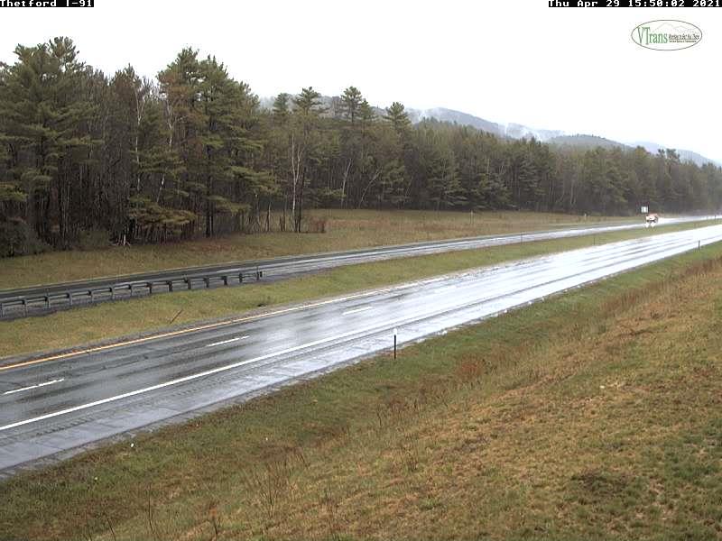
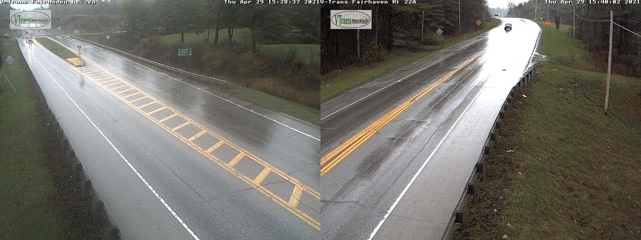
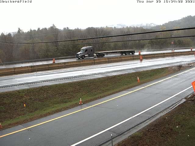
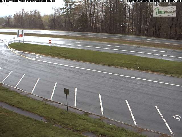
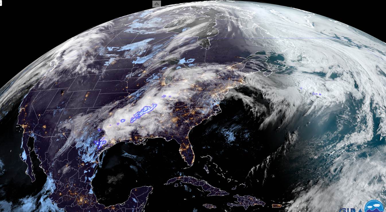
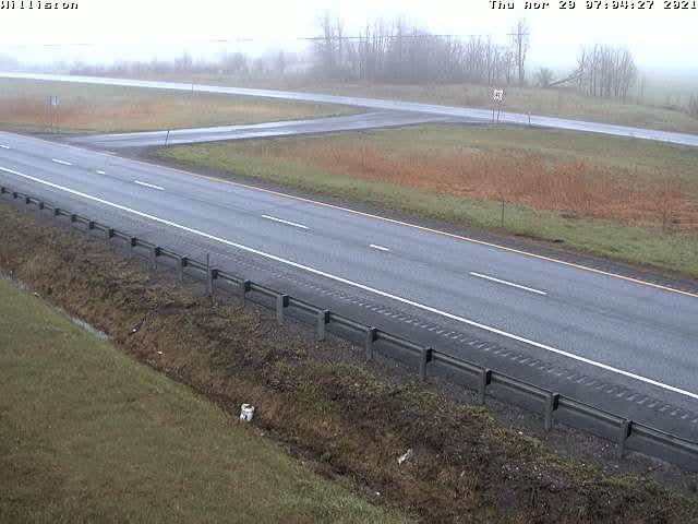
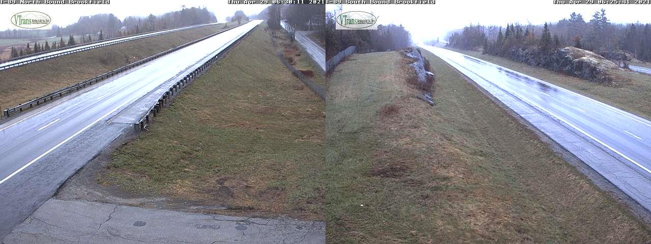
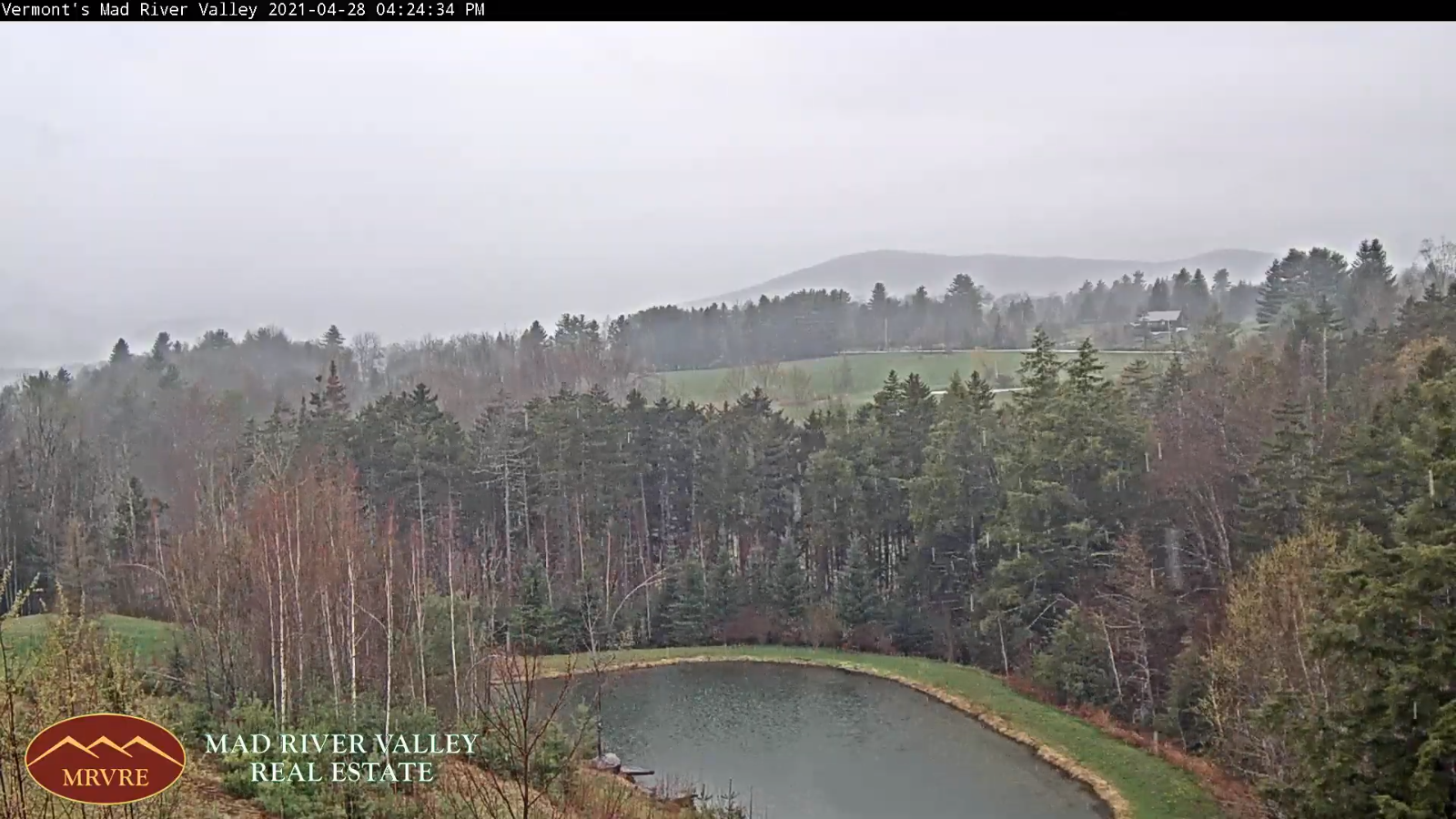
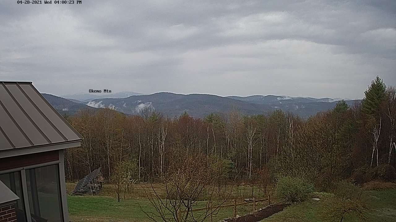
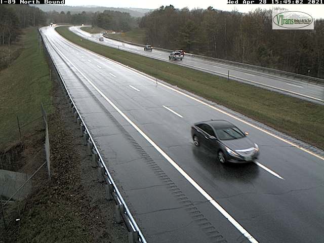
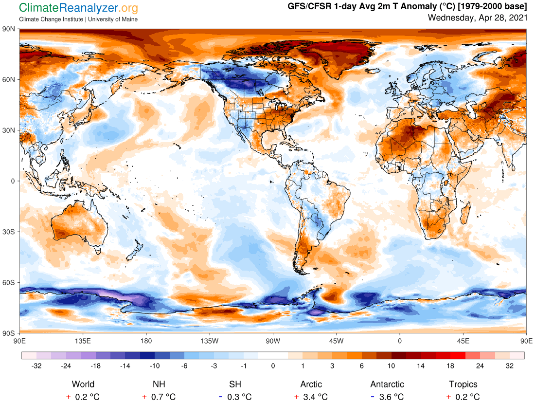
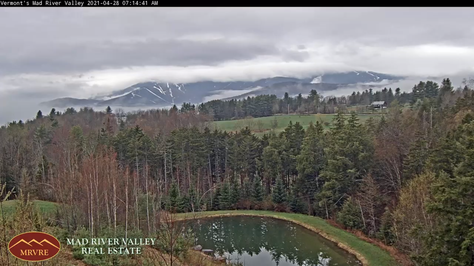
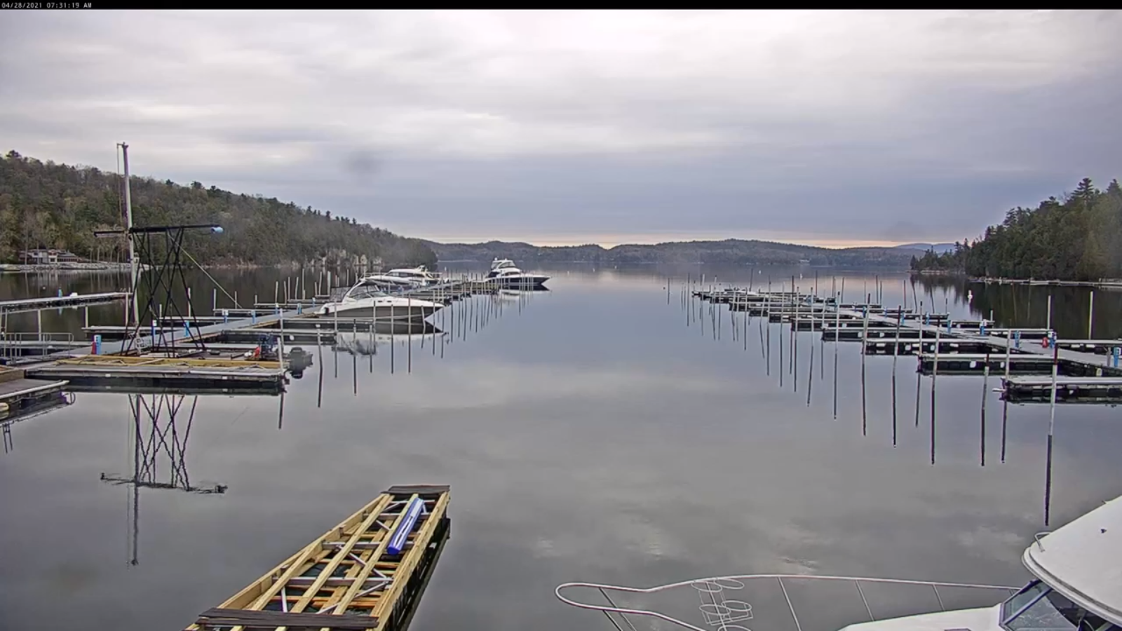
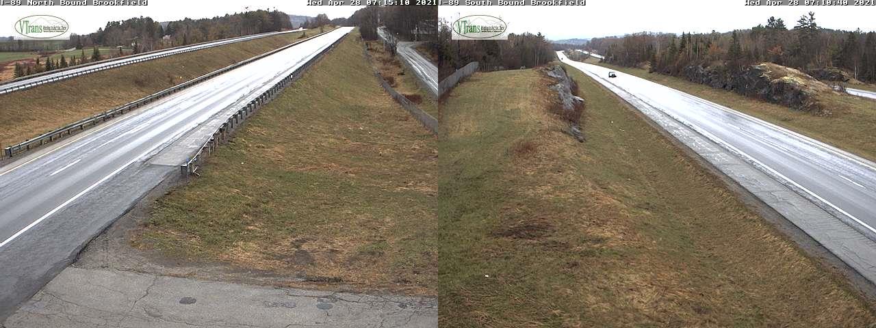
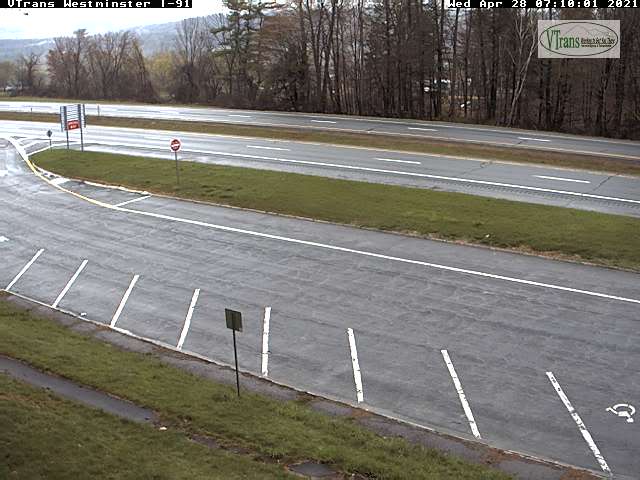
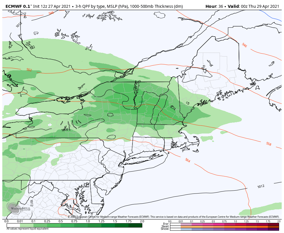
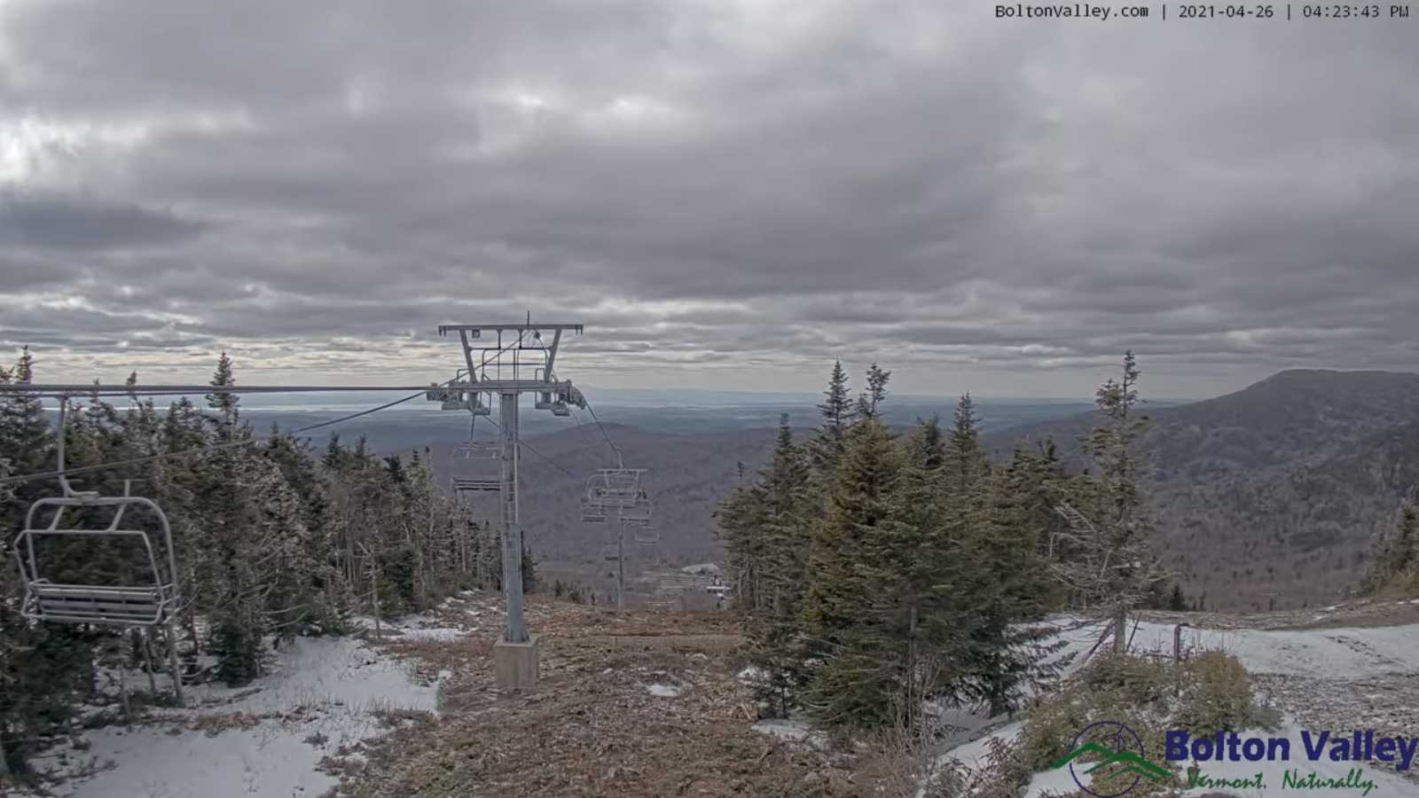
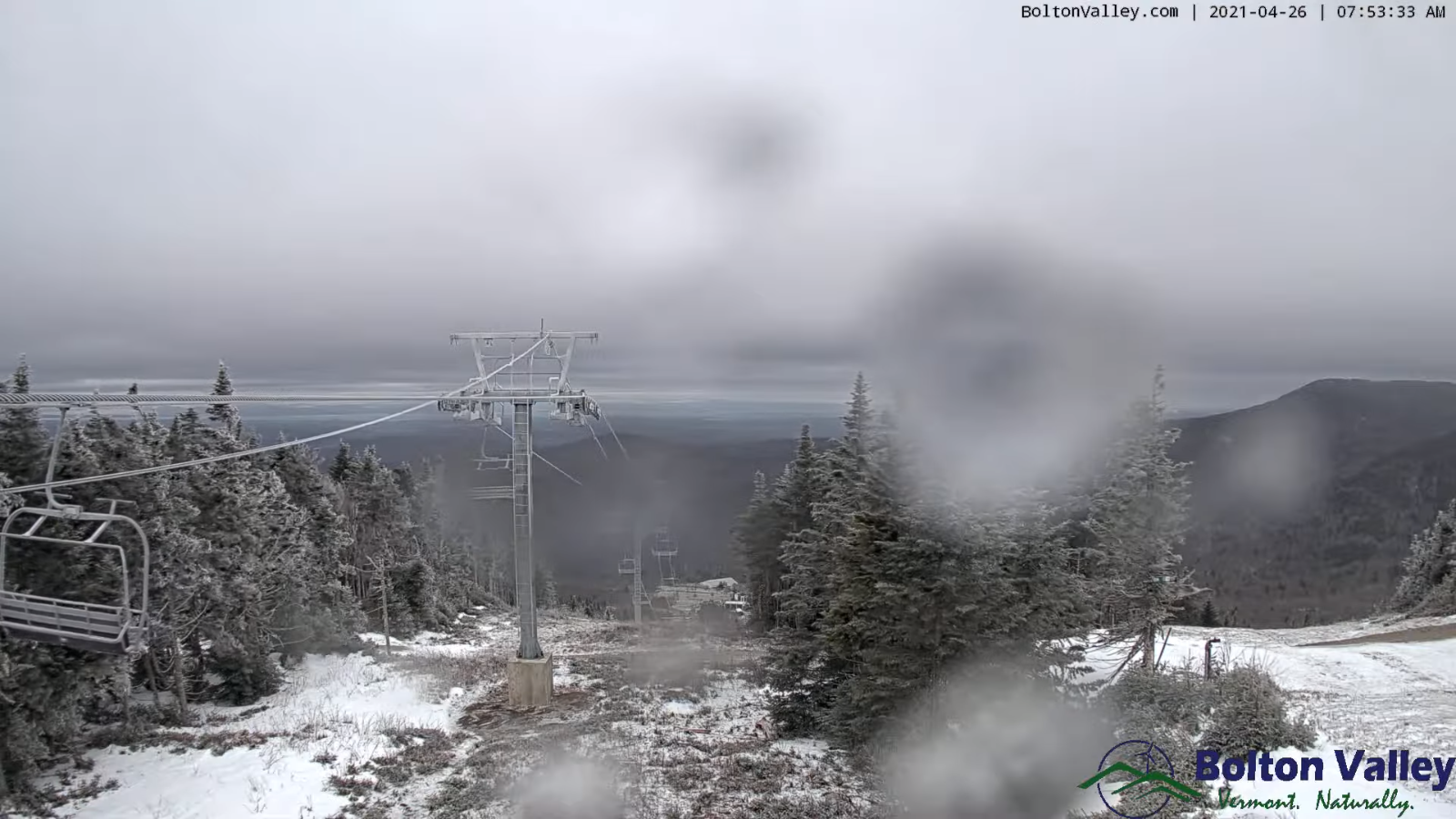
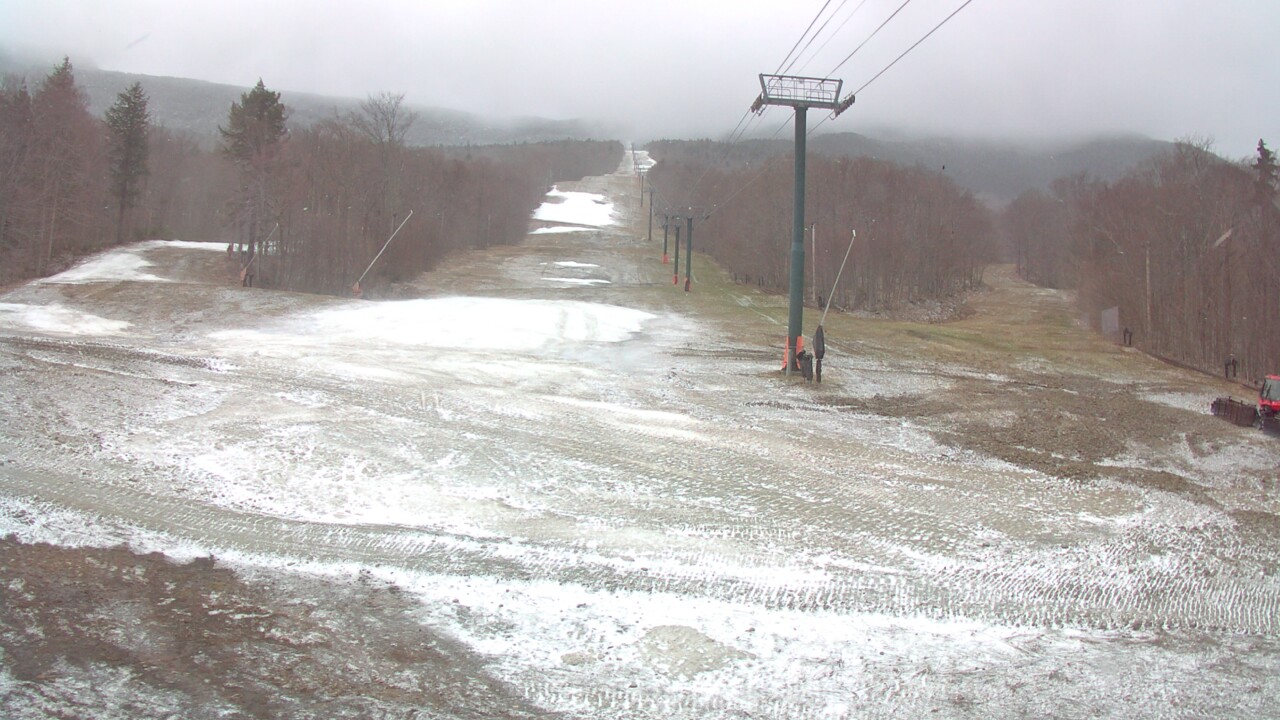
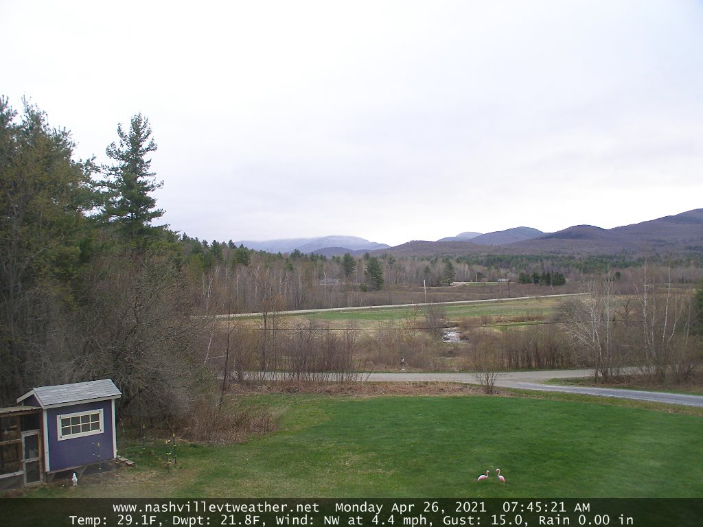
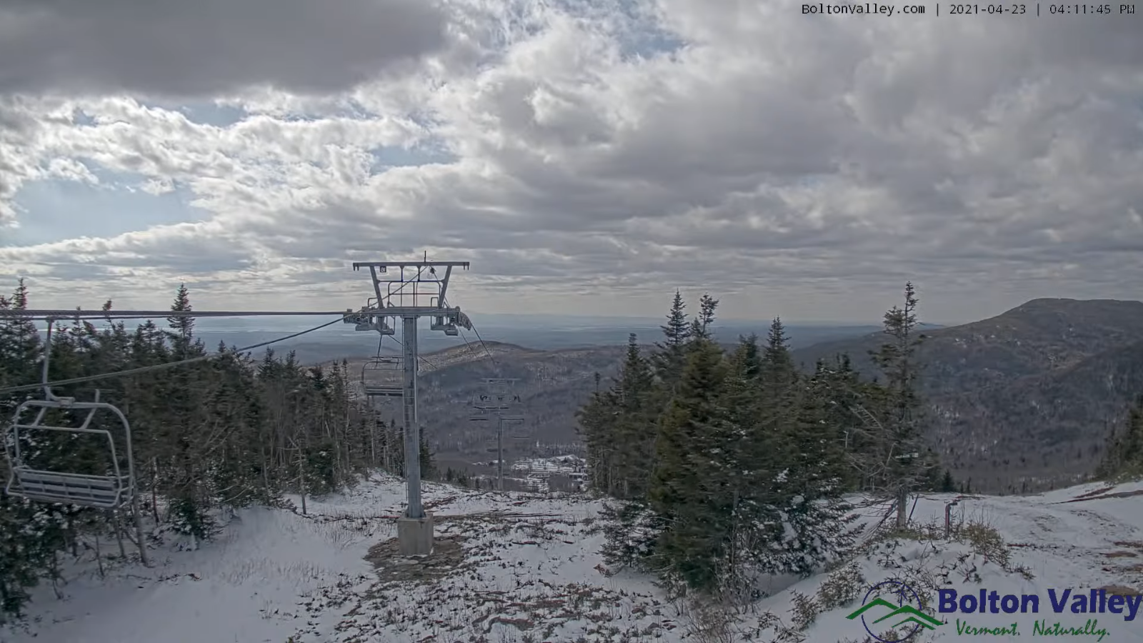
TODAY: Rain showers…mixed with wet snow accumulation across the high terrain late, otherwise mainly cloudy & becoming blustery to windy at times. A bit raw. A high in the lower 50s. West winds 10 to 20 mph…stronger southern Green Mountains with gusts around 50 mph.

TONIGHT: Cloudy. Rain…mixing with minor wet accumulating snow, coating higher terrain roads & grassy surfaces down to valley floors. A low 32 to 35. Northwest winds 10 to 20 mph with higher gusts across the southern Greens this evening.

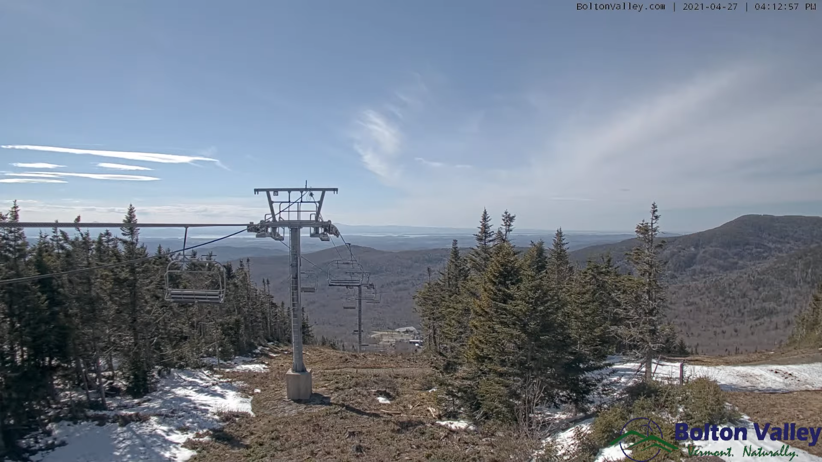
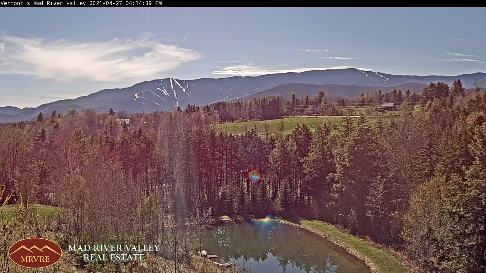
SATURDAY: An isolated mountain flurry early exiting, Otherwise periods of afternoon sunshine. Blustery at times & chilly. A high only about 50. Northwest winds 10 to 15 mph.

Looking further ahead…

SATURDAY NIGHT: Lots of clouds. …with widely scattered rain showers with a few wet snow flakes mountains. A low 35 to 40.

SUNDAY: A couple sprinkles possible…otherwise clouds mixing with sunshine, and a little warmer especially southern areas. A high 55 to 60 northern areas, about 60 to 65 central and southern areas.

MONDAY: Variably cloudy. Widely scattered rain showers. A low in 35 to 40. A high about 60.

TUESDAY: Mostly cloudy. Scattered rain showers. A low 45 to 50. A high upper 50s to low 60s north and around 65 southern areas.

Average low 35 to 40. Average highs upper 50s to low 60s.

Start of Meteorological Summer June 6th… Summer peaks approx.. July 22nd based off local climatology.

RH/4-29category forecast][end]

Updated Thursday Evening Forecast — April 29th, 2021

TONIGHT: Cloudy. Rain showers, moderate at times. Areas of fog. A low around 45. Little wind.

TOMORROW: Occasional rain showers…mixed with wet snow accumulation across the high terrain late, otherwise mainly cloudy & becoming blustery to windy at times. A bit raw. A high in the low 50s. West winds 10 to 20 mph…stronger southern Green Mountains with gusts around 50 mph.

FRIDAY NIGHT: Cloudy. Rain…mixing with wet accumulating snow coating higher terrain roads, especially grassy surfaces down to valley floors. Slushy travel higher terrain. A low about 35. Northwest winds 10 to 20 mph.

SATURDAY: Any isolated mountain snow showers exiting. Blustery at times. A high upper 40s to around 50. Northwest winds 10 to 15 mph.

Looking further ahead…

SATURDAY NIGHT: Cloudy periods…with widely scattered rain and mountain snow showers. A low 35 to 40.

SUNDAY: A couple sprinkles…otherwise clouds mixing with sunshine, and a little warmer. A high in the mid-50s to low 60s.

MONDAY: Variably cloudy. Widely scattered rain showers. A low 35 to 40. A high near 60.

TUESDAY: Mostly cloudy. Scattered rain showers. A low 40 to 45. A high 55 to 60 north and 60 to 65 southern areas.

Average low 35 to 40. Average highs upper 50s to low 60s.

Start of Meteorological Summer June 6th… Summer peaks approx.. July 22nd based off local climatology.

RH/4-29category forecast][end]

Updated Thursday Morning Forecast — April 29th, 2021

TODAY: Overcast with areas of dense fog and patchy drizzle this morning. More showers southern areas this afternoon spreading north late. A high mid-50s to low 60s. Little wind.

TONIGHT: Cloudy. Rain showers, moderate at times. Areas of fog. A low around 45. Light winds.

FRIDAY: Mainly cloudy with a few breaks of sun, blustery to windy at times and colder. Occasional rain showers…mixed with wet snow accumulation across the high terrain late. A high 50 to 55. West winds 10 to 20 mph…stronger southern Green Mountains.

Looking further ahead…

FRIDAY NIGHT: Cloudy. Rain…transitions to wet accumulating snow briefly moderate at times…coating higher terrain roads, especially grassy surfaces down to valley floors. Pockets of slippery slushy travel. A low 32 to 35.

SATURDAY: Any isolated mountain snow showers exiting. Blustery at times. A high upper 40s to around 50.

SUNDAY: Clouds mixing with periods of sunshine, and a little milder. A low around 35. A high near 60.

MONDAY: Mixed clouds and sun. Maybe a late day shower. A low around 45. A high near 65.

Average low 35 to 40. Average highs upper 50s to low 60s.

Start of Meteorological Summer June 6th… Summer peaks approx.. July 22nd based off local climatology.

RH/4-29category forecast][end]

Updated Wednesday Evening forecast — April 28th, 2021

TONIGHT: Cloudy. Rain showers, moderate at times with a few rumbles of thunder possible southern areas this evening. Showers becoming…widely scattered late evening on. Areas of fog. A low 45 to 50. Little wind.

TOMORROW: Overcast. A few rain showers in the morning…exiting. More showers arrive late. A high mid-50s to low 60s. Little wind.

THURSDAY NIGHT: Cloudy. Rain showers, moderate at times. Areas of fog. A low near 45. Light winds.

FRIDAY: Mainly cloudy with a few breaks of sun, blustery to windy at times and colder. Occasional rain showers…mixed with wet snow accumulation across the high terrain late. A high 45 to 50. West winds 10 to 20 mph…stronger southern Green Mountains.

Looking further ahead…

FRIDAY NIGHT: Mainly cloudy. Good chance for periods of rain showers mixed with minor wet snow accumulation grassy surfaces above about 1200 ft. A low around 35.

SATURDAY: Isolated rain or snow showers early exiting to partial clearing. Blustery at times. A high upper 40s.

SUNDAY: Clouds mixing with periods of sunshine, and a little milder. A low around 35. A high upper 50s to mid-60s.

MONDAY: Mixed clouds and sun. Maybe a late day shower. A low in the 40s. A high mid-50s to near 60.

Average low 35 to 40. Average highs upper 50s to low 60s.

Start of Meteorological Summer June 6th… Summer peaks approx.. July 22nd based off local climatology.

RH/4-28category forecast][end]

Updated Wednesday morning Forecast — April 28th, 2021

TODAY: A few sprinkles exiting this morning with a couple breaks of sun. Rain showers redeveloping around 3 PM this afternoon…moderate at times, maybe a rumble of thunder. A high in the low 60s. Light winds.

TONIGHT: Cloudy. Rain showers, moderate at times with a few rumbles of thunder possible southern areas this evening. Showers early…widely scattered overnight. Areas of fog. A low 45 to 50. Little wind.

THURSDAY: Overcast. A few rain showers in the morning…exiting before more showers arrive later in the day. A high mid-50s to low 60s. Little wind.

Looking further ahead…

THURSDAY NIGHT: Cloudy. Rain showers, moderate at times. Areas of fog. A low near 45.

FRIDAY: Rather gray, blustery at times and colder. Occasional rain showers…possibly mixed with wet snow southern elevated terrain Friday evening. A high mid to upper 40s.

SATURDAY: Clouds maybe a few breaks of sun, blustery and colder. Isolated rain showers early…maybe wet snow flakes mixed in…exiting to partial afternoon clearing. A low 35 to 40. A high 50 to 55.

SUNDAY: Clouds mixing with partial afternoon sunshine, and a little milder. A low around 35. A high upper 50s to mid-60s.

MONDAY: Mixed clouds and sun. Maybe a late day shower. A low in the 50s. A high upper 50s.

Average low 35 to 40. Average highs upper 50s to low 60s.

Start of Meteorological Summer June 6th… Summer peaks approx.. July 22nd based off local climatology.

RH/4-28category forecast][end]

Updated Tuesday Evening forecast — April 27th, 2021

TONIGHT: Fair this evening then thickening clouds after midnight. A rising chance for rain showers in the pre-dawn hours south of Burlington to Montpelier. A low around 40. Little wind.

TOMORROW: Gray skies. Rain showers redeveloping in the afternoon…moderate to possibly heavy at times. Maybe a few rumbles of thunder southern areas. A high around 60. Light winds.

WEDNESDAY NIGHT: Cloudy. Rain showers moderate to possibly heavy at times early…widely scattered overnight. Areas of fog. A low mid to upper 40s. Little wind.

THURSDAY: Overcast. Widely scattered rain showers. A high mid-50s to low 60s. Little wind.

Looking further ahead…

THURSDAY NIGHT: Cloudy. Widely scattered rain showers, becoming more frequent toward daybreak. Areas of fog. A low near 45.

FRIDAY: Continued rather gray. Occasional rain showers. Maybe a rumble of thunder. A high mid to upper 50s.

SATURDAY: Clouds maybe a few breaks of sun, blustery and colder. Isolated rain showers early…maybe wet snow flakes mixed in…exiting to partial afternoon clearing. A low 40 to 45. A high in the low 50s.

SUNDAY: Partly sunny, and a little milder. A low 32 to 35. A high 55 to 60.

MONDAY: Mostly cloudy. Chance for rain or rain showers. A low in the low to mid 40s. A high upper 50s.

Average low 35 to 40. Average highs upper 50s to low 60s.

Start of Meteorological Summer June 6th… Summer peaks approx.. July 22nd based off local climatology.

RH/4-27category forecast][end]

Updated Tuesday Morning Forecast — April 27th, 2021

TODAY: Mostly sunny & gorgeous this morning…becoming filtered through highs clouds. A high 55 to 60. Northwest winds 10 mph.

TONIGHT: Thickening clouds leading to occasional rain showers, about Burlington to Montpelier and points south. A low around 40. Little wind.

WEDNESDAY: Considerable cloudiness with a few breaks of sun. Rain showers likely in the afternoon…possibly moderate at times with a slight risk for thunder central and southern Vermont. A high around 60. Light winds.

Looking further ahead…

WEDNESDAY NIGHT: Cloudy. Rain showers likely moderate to locally heavy at times in the evening except dry northern areas. A low mid to upper 40s.

THURSDAY: Considerable cloudiness. Rain showers likely. A high mid-50s to low 60s…warmest northern areas.

FRIDAY: Mostly cloudy. Scattered rain showerspossibly mixed with wet snowflakes mountain summits Friday night A low in the mid-40s. A high 50 to 55.

SATURDAY: Cloudy, blustery and chilly. Chance for lingering rain showers early…possible couple wet snowflakes mixed is…exiting to partial clearing later in the afternoon. A low upper 30s. A high around 50.

SUNDAY: Partly sunny. A low around 35. A high near 55.

Average low 35 to 40. Average highs upper 30s to low 40s.

Start of Meteorological Summer June 6th… Summer peaks approx.. July 22nd based off local climatology.

RH/4-276category forecast][end]

Updated Monday Evening Forecast — April 26th, 2021

Full Pink Moon 11:32 PM.

TONIGHT: Clear & fully moonlit. A low upper 20s to low 30s. Light northwest winds.

TUESDAY: Filtered sunshine through high cloudiness. A high mid to upper 50s. Northwest winds 10 mph.

TUESDAY NIGHT: Thickening clouds leading to occasional showers, mainly southern areas. A low around 40. Little wind.

WEDNESDAY: Considerable cloudiness with a few breaks of sun. Rain showers becoming likely toward mid-day possibly moderate at times. Slight risk for thunder southern Vermont. A high mid-50s to around 60. Light winds.

Looking further ahead…

WEDNESDAY NIGHT: Cloudy. Rain showers likely except dry northern areas. A low 40 to 45.

THURSDAY: Considerable cloudiness. A rising chance for rain or rain showers later on…possibly moderate at times. A high ranging from mid-50s to mid-60s…warmest across the far northern areas.

FRIDAY: Morning clouds then partly sunny in the afternoon. Scattered rain showers…possibly mixed with wet snowflakes elevated terrain late. A low in the mid-40s. A high around 55.

SATURDAY: Cloudy, blustery and chilly. Chance for lingering rain showers…possibly mixed with wet snowflakes. A low mid to upper 30s. A high 45 to 50.

SUNDAY: Mixed sun and clouds. A low around 35. A high 50 to 55.

Average low 35 to 40. Average highs upper 30s to low 40s.

Start of Meteorological Summer June 6th… Summer peaks approx.. July 22nd based off local climatology.

RH/4-26category forecast][end]

Updated Monday Morning forecast — April 26th, 2021

TODAY: Considerable morning cloudiness gradually gives way to partly to mostly sunny skies this afternoon…clouds lingering near the Canadian border. Chilly and blustery at times. A high 45 to 50. Northwesterly wind 10 to 25 mph especially this afternoon.

Full Pink Moon Tonight 11:32 PM.

TONIGHT: Clear & fully moonlit. A low around 30. Light northwest winds.

TUESDAY: Filtered sunshine through high cloudiness. A high upper 50s to near 60. Northwest winds 10 to 15 mph.

Looking further ahead…

TUESDAY NIGHT: Thickening clouds leading to a scattered showers mainly southern and western areas. A low around 40.

WEDNESDAY: Considerable cloudiness with a few breaks of sun. Chance for rain showers in the afternoon. Maybe a thunderstorm southern areas. A high near 60.

THURSDAY: Considerable cloudiness. A rising chance for rain showers later on. A low near 40. A high around 65.

FRIDAY: Lots of clouds & blustery at times. Chance for rain showers…possibly mixed with wet snowflakes elevated terrain late. A low in the mid-40s. A high 55 to 60.

Average low 35 to 40. Average highs upper 30s to low 40s.

Start of Meteorological Summer June 6th… Summer peaks approx.. July 22nd based off local climatology.

RH/4-26category forecast][end]

Updated Friday Evening Forecast — April 23rd, 2021

TONIGHT: Mostly clear & partially moonlit. A low mid to upper 30s. Southwest winds 10 mph.

TOMORROW: Mixed sun & clouds with more clouds late. A high around 60. West breeze 10 mph.

SATURDAY NIGHT: Fair with high clouds in the evening…thickening clouds overnight. A low 35 to 40. Light south winds.

SUNDAY: Cloudy. Scattered rain showers with a rumble of thunder possible Quebec border. A high near 55. South breeze 10 to 20 mph.

Looking further ahead…

SUNDAY NIGHT: Partly to mostly cloudy. Scattered evening rain showers exiting before midnight. A low upper 20s.

MONDAY: Partly to mostly sunny. A high 45 to 50.

Full Pink Moon late Monday night 11:32 PM.

TUESDAY: Partly sunny. A low upper 20s to low 30s. A high upper 50s to low 60s.

WEDNESDAY: Morning sun then afternoon clouds. Scattered afternoon showers & thunderstorms. A low around 45. A high 70 to 75.

Average low in the 30s. Average highs mid-50s to around 60.

Start of Meteorological Summer June 6th… Summer peaks approx.. July 22nd based off local climatology.

RH/4-23category forecast][end]